Bethpage Black course map the hardest of Bethpage's five courses
This poster draws the Black Course at Bethpage State Park from OpenStreetMap: fairways, greens, the big bunkers and the pond at the 8th, with each hole numbered and lined from tee to green. The park's other four courses are left off. It's for golfers who have slept in the lot for a tee time, and fans who saw the Ryder Cup there.
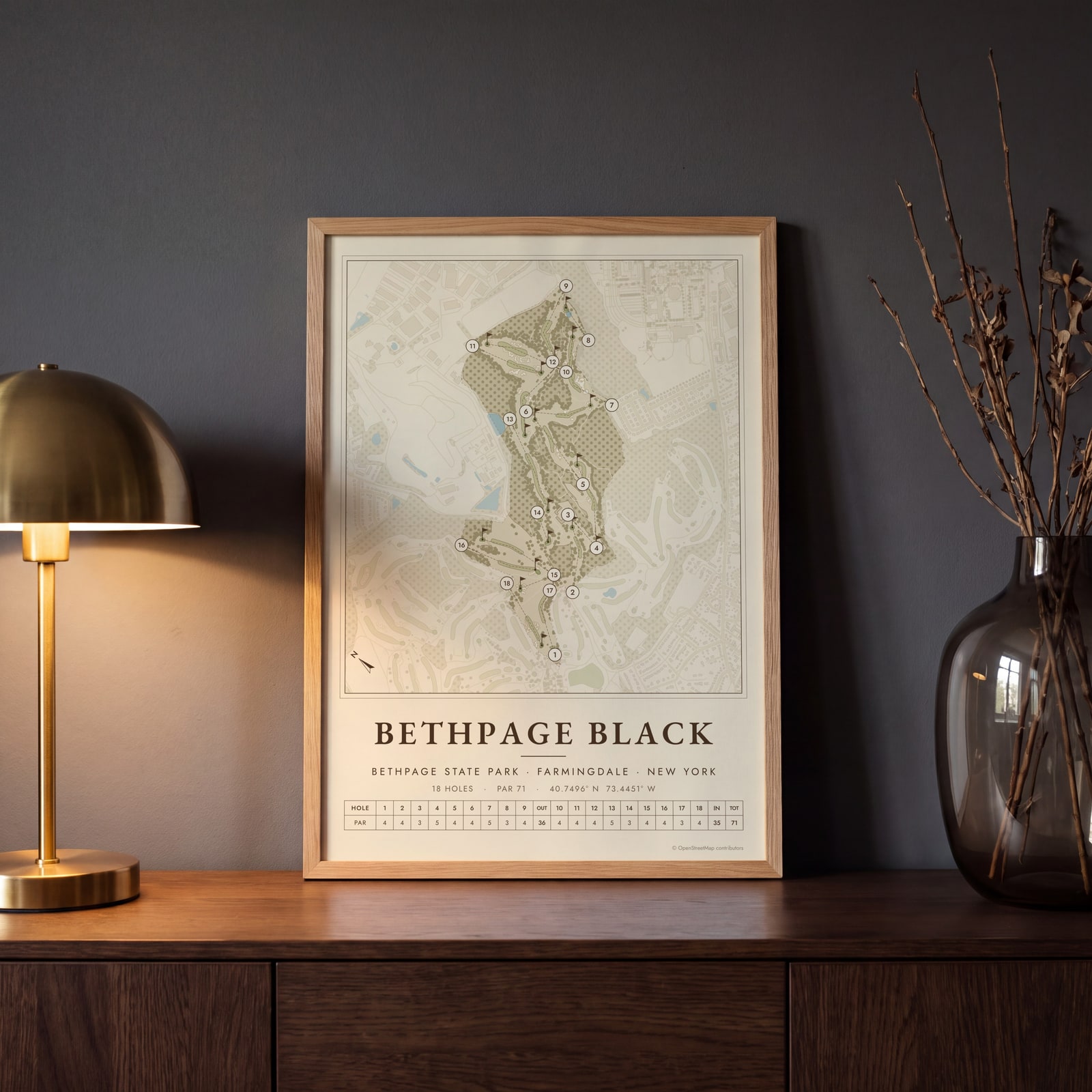
On the wall
A few of them framed at home. Open any one to make it yours.
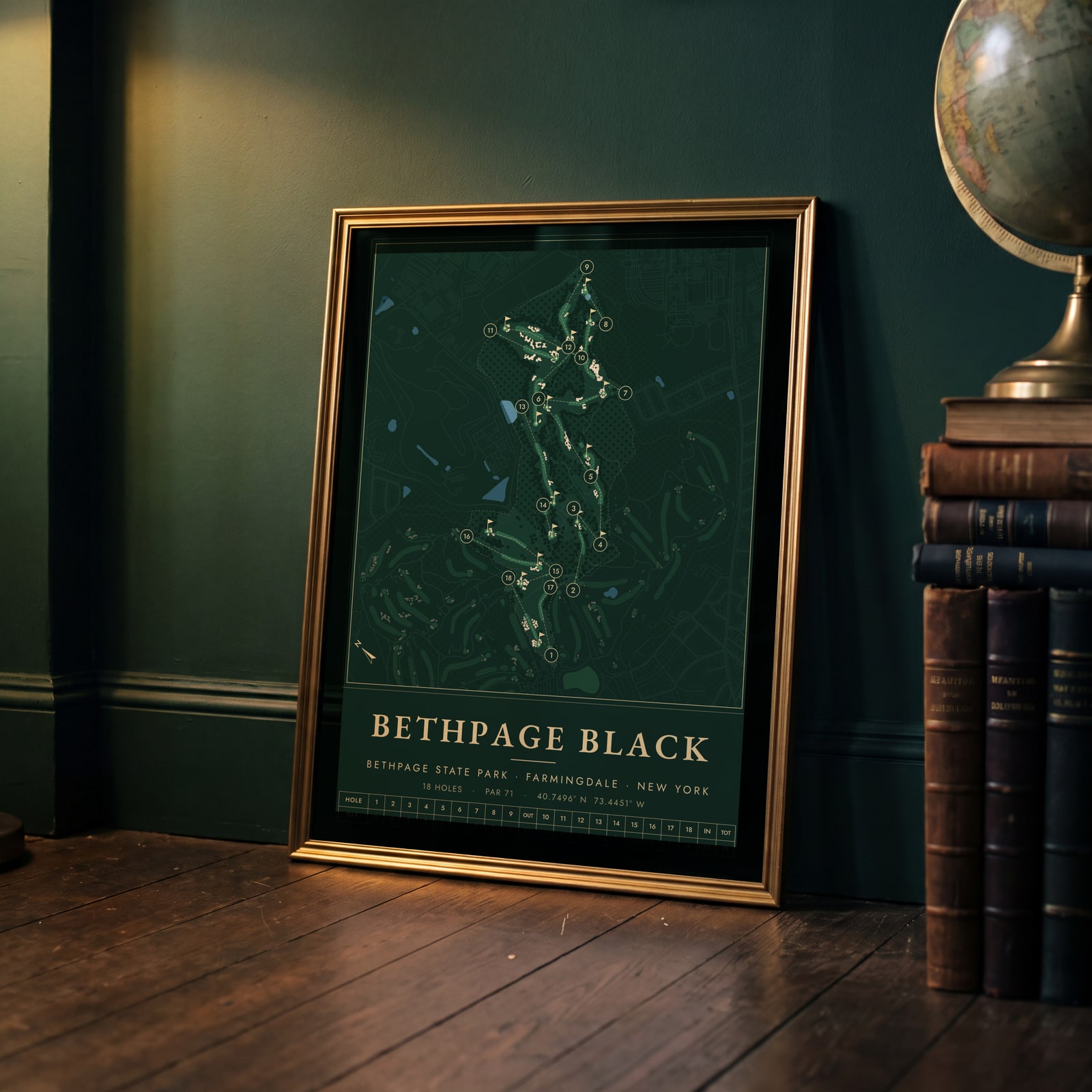 Bethpage Black in evergreen night colorsEdit this →
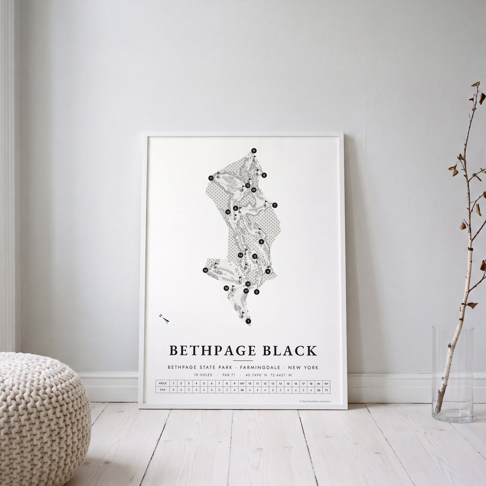 Bethpage Black in links ink, course onlyEdit this →
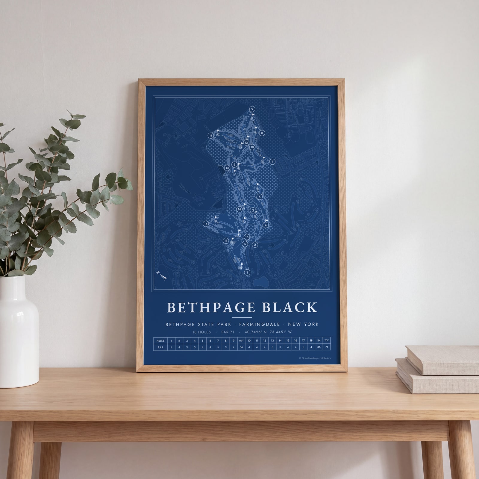 Bethpage Black as a blueprintEdit this →
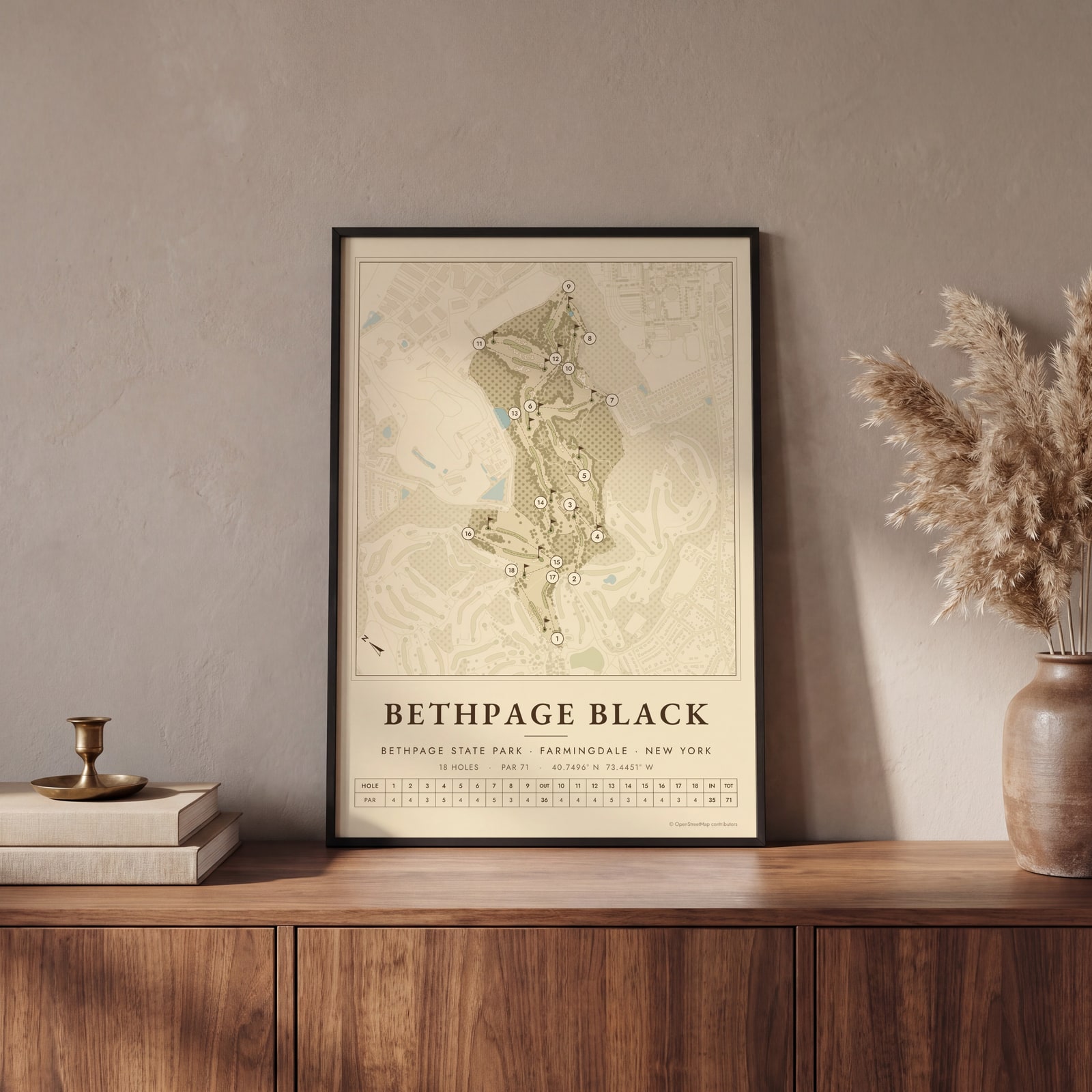 Bethpage Black course map poster, every hole numberedEdit this →
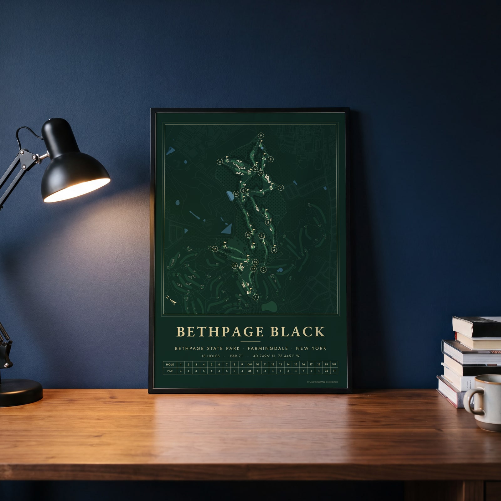 Bethpage Black in evergreen night colorsEdit this →
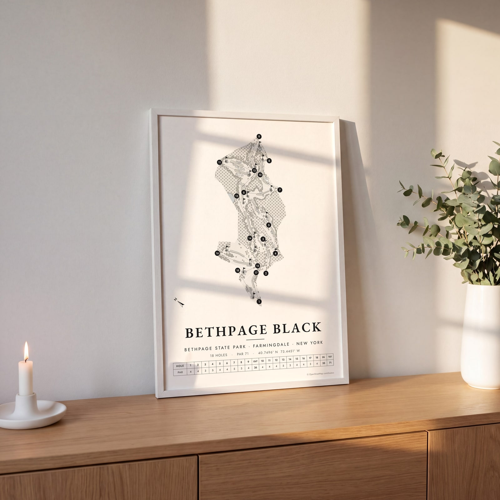 Bethpage Black in links ink, course onlyEdit this →
Examples
Open any of them to change the words, the place, the date and the style, then download the print file.
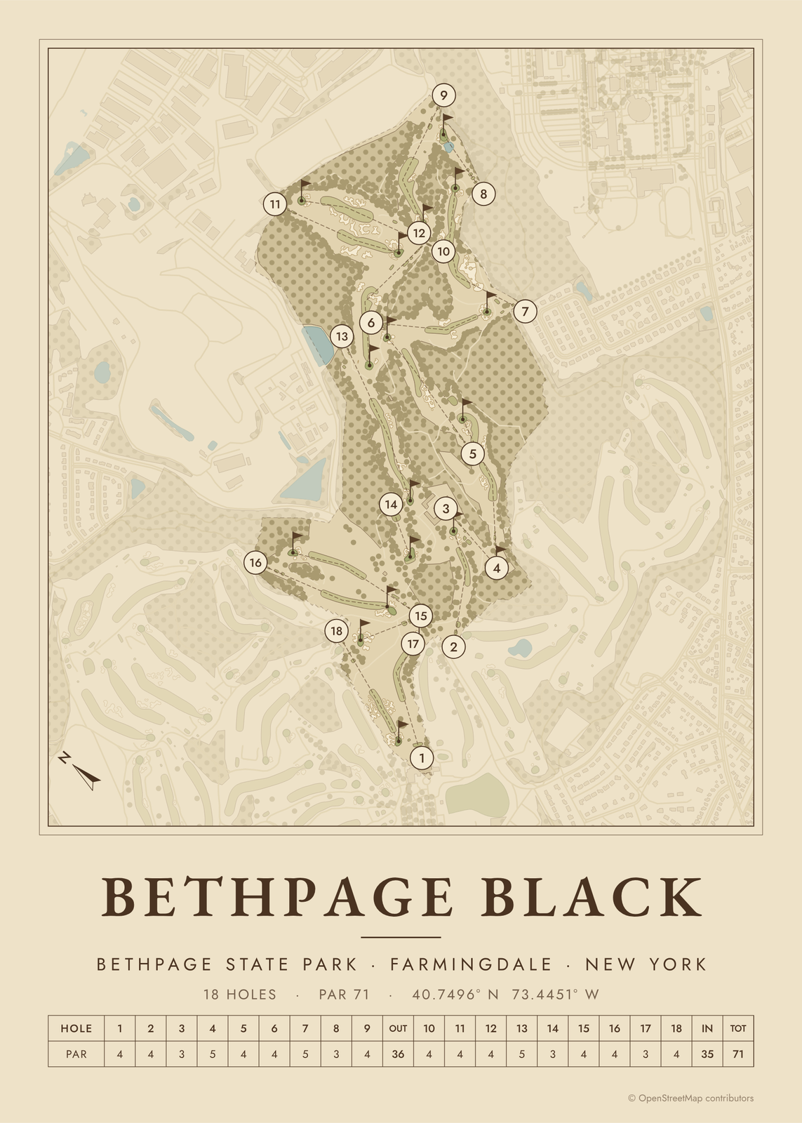 Bethpage Black course map poster, every hole numberedEdit this →More golf course prints →
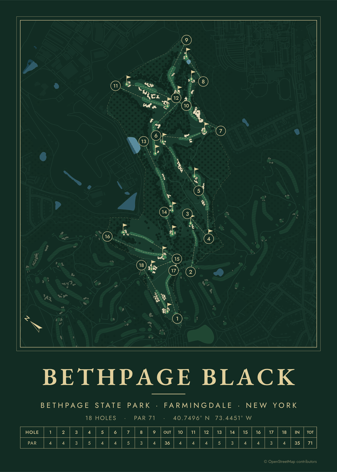 Bethpage Black in evergreen night colorsEdit this →More golf course prints →
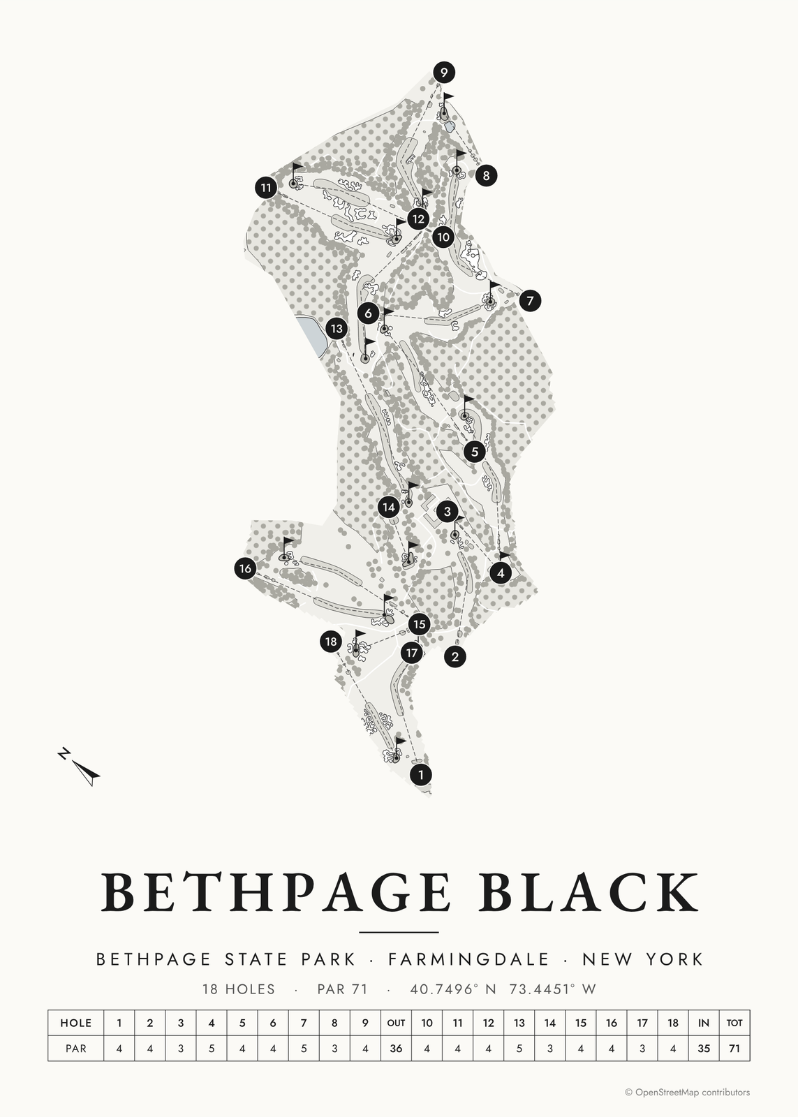 Bethpage Black in links ink, course onlyEdit this →More golf course prints →
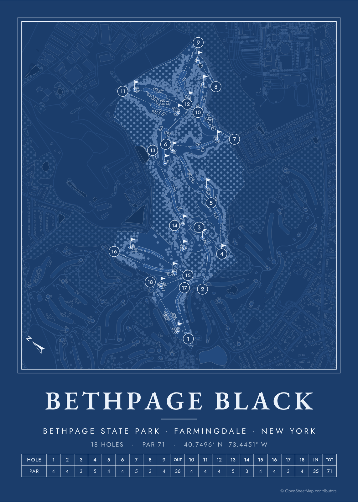 Bethpage Black as a blueprintEdit this →More golf course prints →
About the course
The Black Course opened in 1936 at Bethpage State Park in Farmingdale, on Long Island, one of five courses in the park. A.W. Tillinghast is credited as its architect, working with park superintendent Joseph H. Burbeck, and historians still argue over how much of the design was Burbeck's. Rees Jones restored it in the late 1990s, ahead of the 2002 U.S. Open.
In 2002 it became the first publicly owned course to host the U.S. Open, and Tiger Woods was the only player to finish under par. It hosted the U.S. Open again in 2009, the Barclays in 2012 and 2016, the 2019 PGA Championship and the 2025 Ryder Cup, which Europe won 15 to 13. The Women's PGA Championship comes in 2028 and the PGA Championship returns in 2033.
Holes to know
- 1 (par 4): the warning sign hangs on a fence behind the tee. The hole drops from a high tee and bends right.
- 4 (par 5): climbs uphill past a huge bunker angled across the fairway. Tillinghast wrote that it should prove one of the most exacting three-shot holes he knew.
- 5 (par 4): the drive carries a sandy waste area, and the approach climbs to a raised, shallow green.
- 8 (par 3): plays downhill over a pond, the only water on the course.
- 15 (par 4): the hardest hole on the card, ending at a small, steep green about 50 feet above the fairway.
- 17 (par 3): a wide, shallow green split by a ridge and ringed by five bunkers.
How to make your Bethpage Black poster
- Open the Bethpage Black map; the course is already picked.
- Choose colors: clubhouse greens, seaside, links ink, heritage watercolor, a vintage yardage book, evergreen night or blueprint.
- Keep the scorecard row and the hole numbers, or show the course alone; turn it to fit the sheet or put north up.
- Change the title and the line under it (a date, a round, a score), pick a size and download the print file.
Questions
Can the public play Bethpage Black?
Yes. It's a New York state park course with public tee times, and New York residents pay less and can book further ahead. The Black is walking only, and some golfers still sleep in their cars in the lot to get an early walk-up time.
What does the sign at Bethpage Black say?
"WARNING: The Black Course Is An Extremely Difficult Course Which We Recommend Only For Highly Skilled Golfers." It hangs on a fence behind the 1st tee. No one is quite sure when it first went up.
Who designed Bethpage Black?
A.W. Tillinghast is the architect of record. Park superintendent Joseph H. Burbeck oversaw the work, and some historians argue he did much of the design, so the credit is still debated.
Where does the course map come from?
From OpenStreetMap, where volunteers trace fairways, greens, bunkers, water and trees from aerial imagery. It's a map of the course as it's mapped there, not the club's official yardage book, and its credit line prints small in the corner.
What sizes can I print?
US Letter, 8 × 10, 11 × 14, 12 × 16 and 12 × 18 in, A4 and A3, free. You download a 300 DPI JPEG drawn at the size you pick, for any print shop. Larger prints, up to 24 × 36 in, are coming soon.
Is this an official course map?
No. Posterage isn't affiliated with the course, its club or any tournament played there. The poster is drawn from open map data.
Related
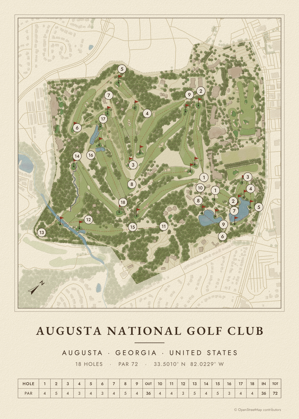
Gift ideas by occasion




Every example is made with the Posterage generators. Change anything, then download it as a 300 DPI JPEG.