Golf course prints your course, every hole, mapped
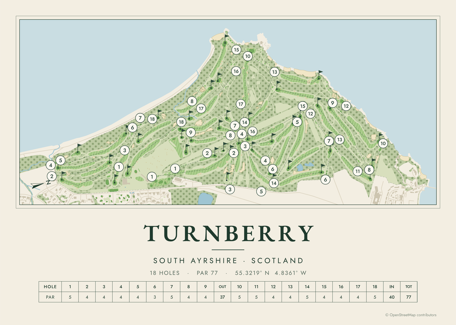
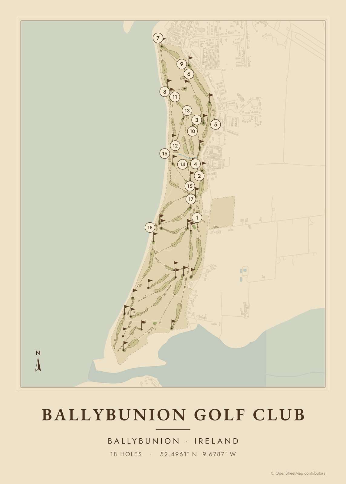
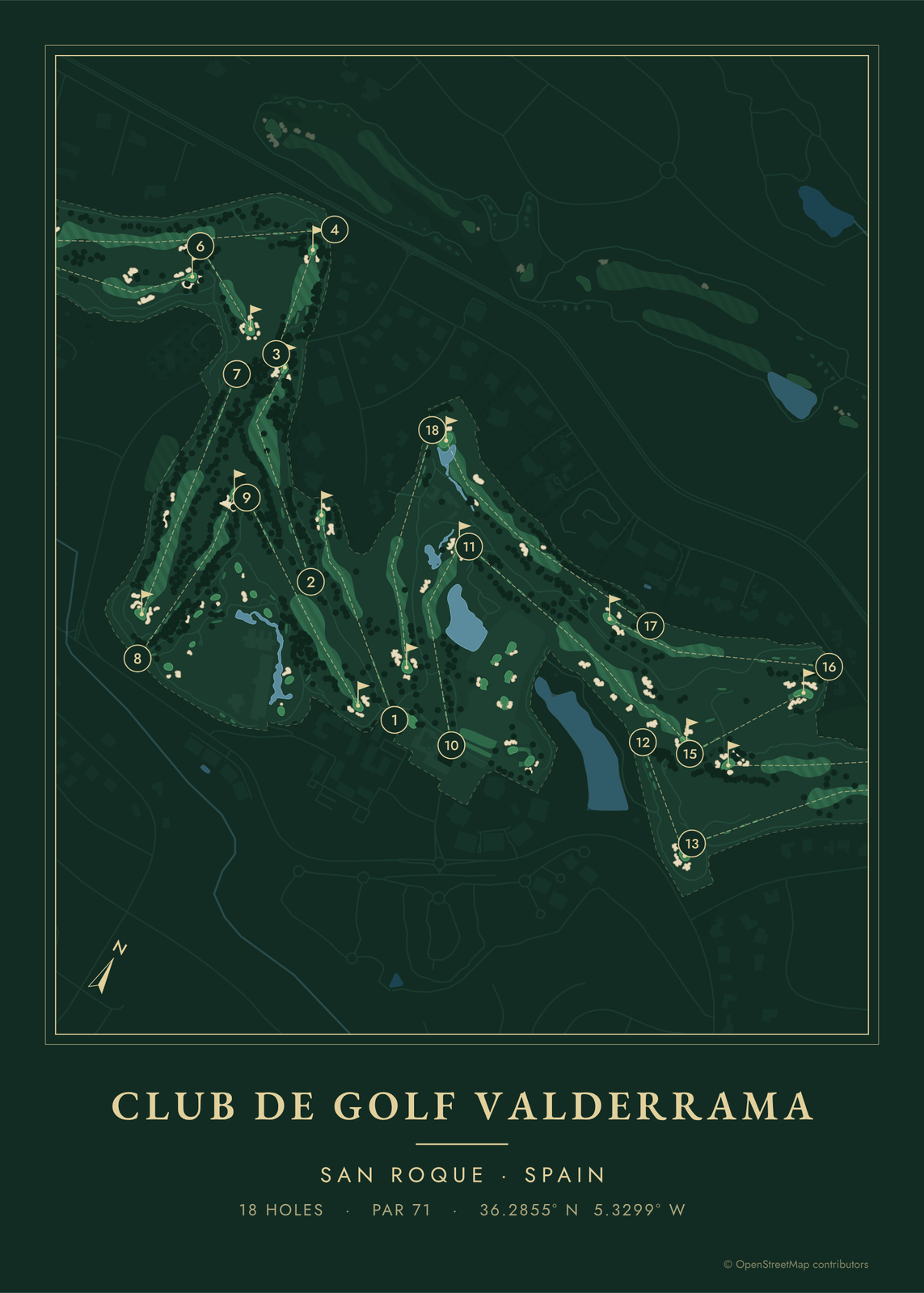
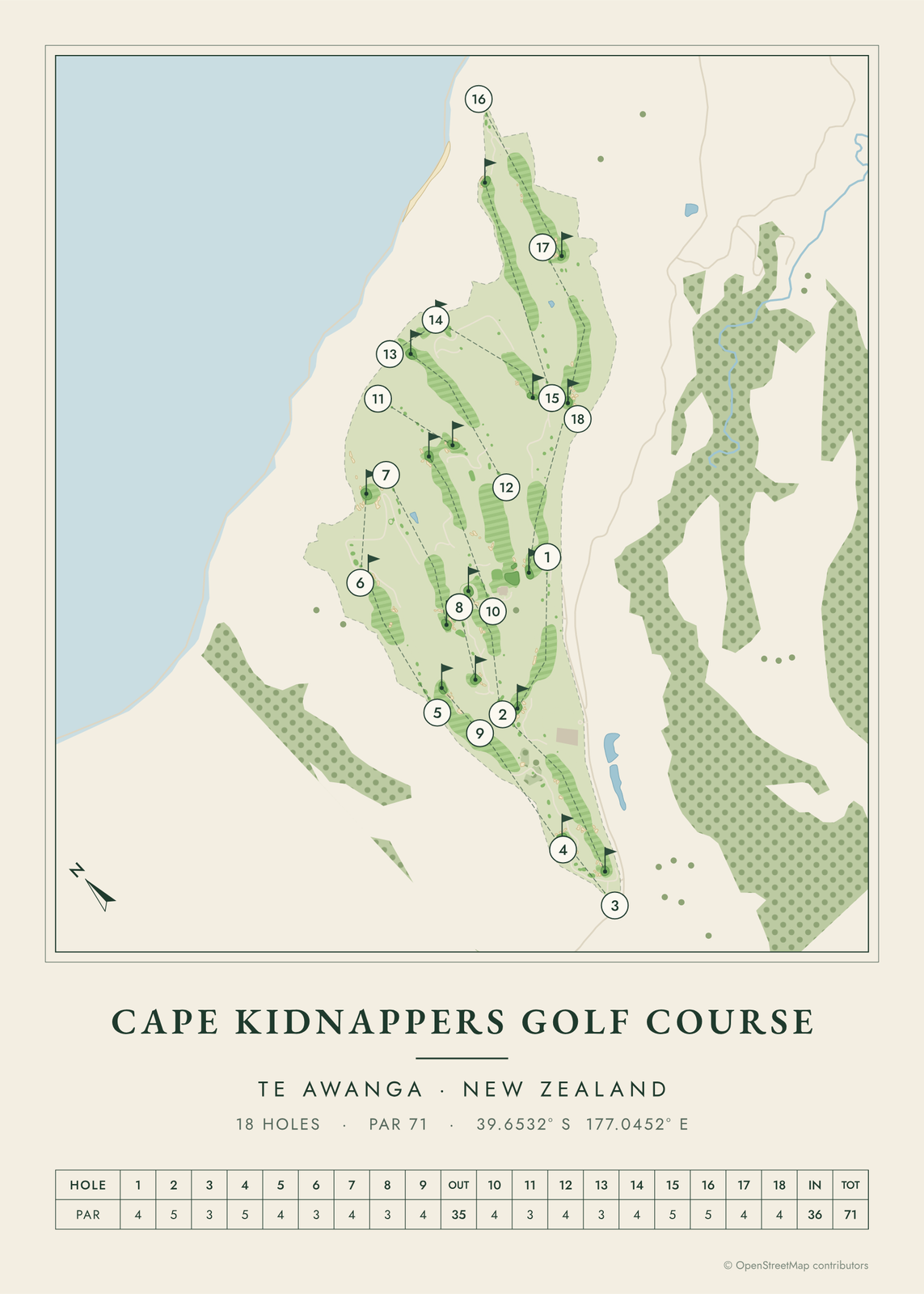
Pick a course and the map draws it like a yardage book: tees, fairways, greens, bunkers, water and trees, with each hole numbered and a scorecard row of pars underneath. Choose the colors, add the date of a round, and print it for the clubhouse wall or a golfer's den.
Famous golf courses
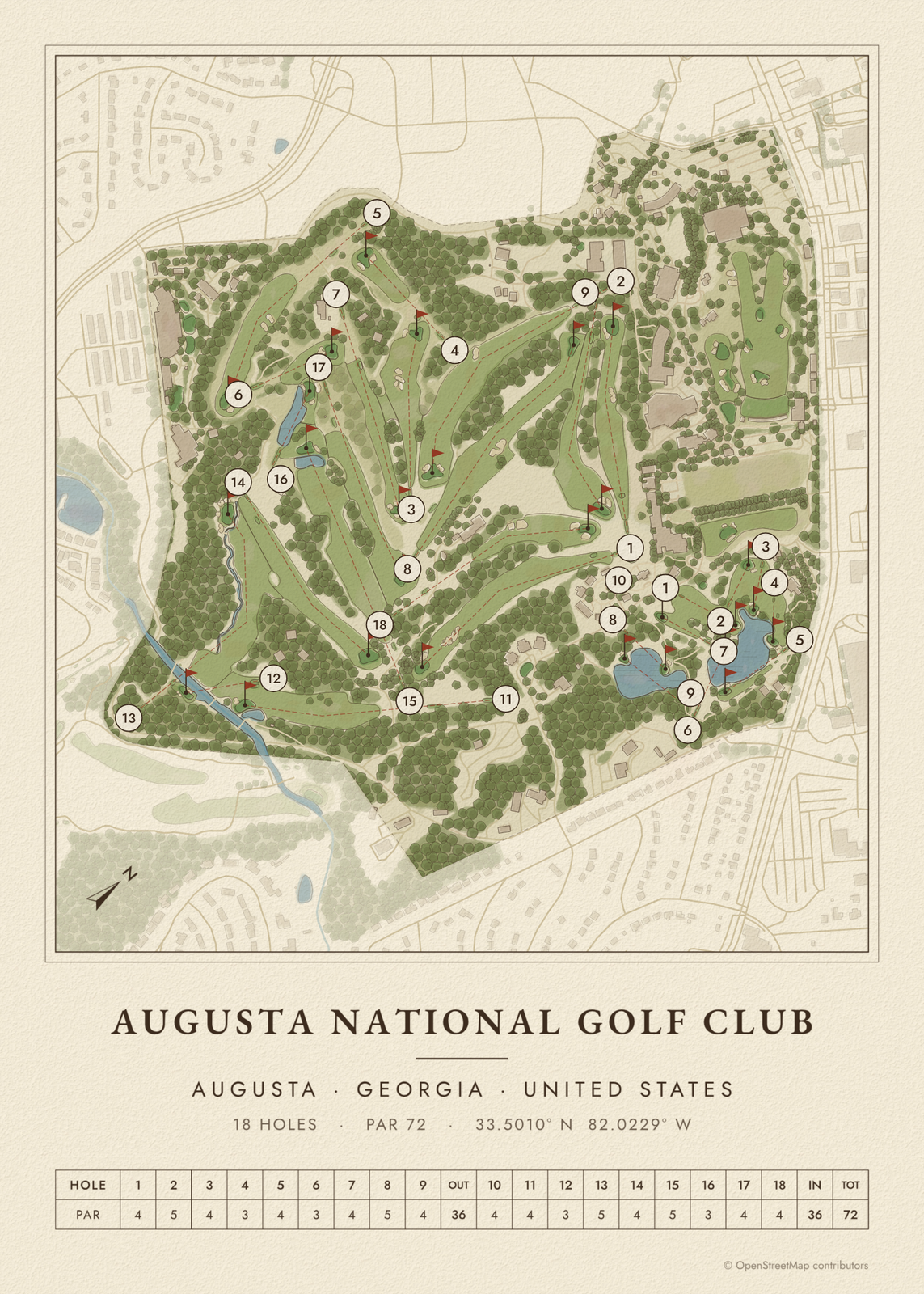 Augusta National course mapthe Masters course, hole by hole
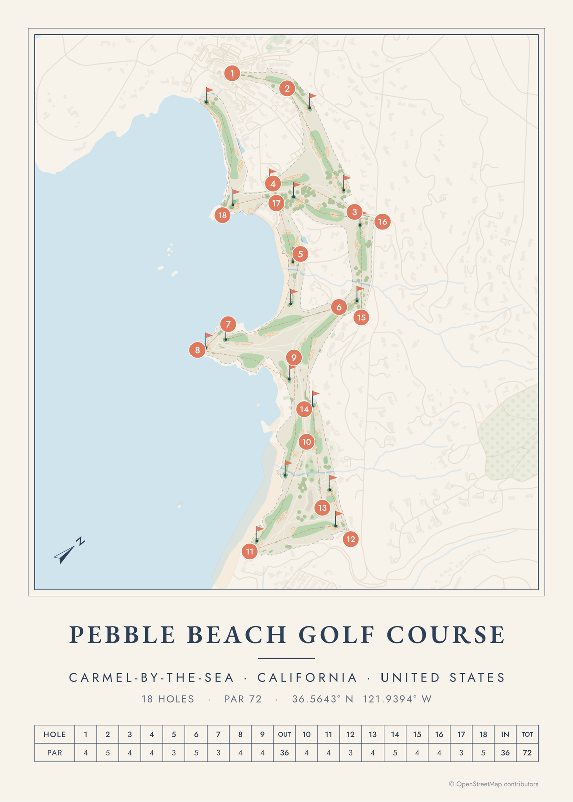 Pebble Beach golf course mapthe course on Carmel Bay
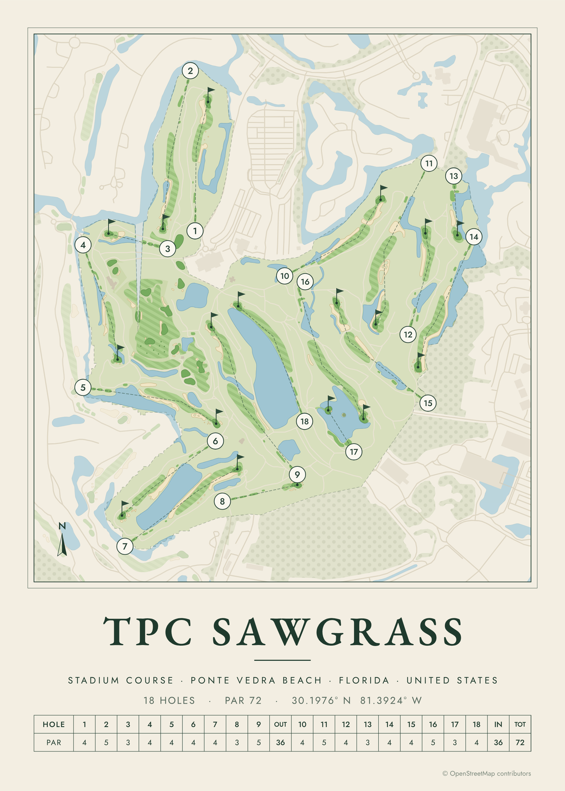 TPC Sawgrass course mapthe Stadium Course and its island green
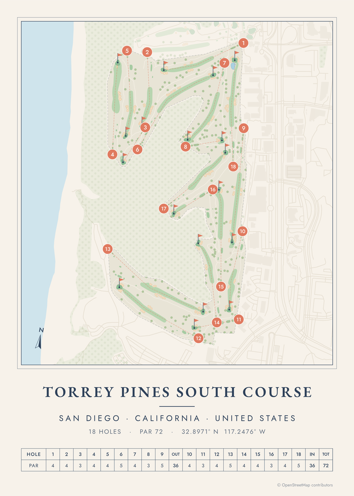 Torrey Pines golf course mapthe South Course above the Pacific
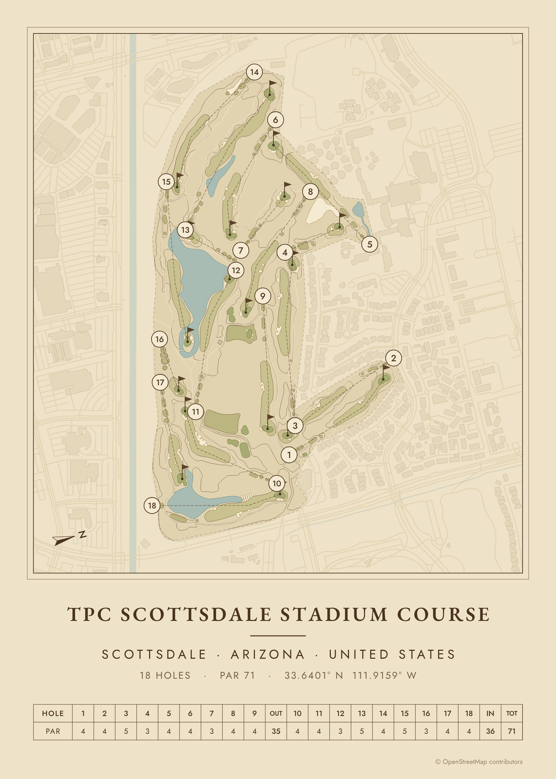 TPC Scottsdale course mapthe Stadium Course in the desert
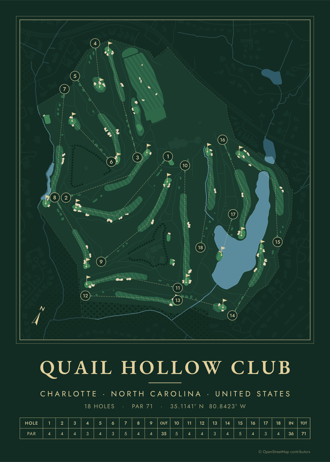 Quail Hollow golf course mapCharlotte's PGA Championship course
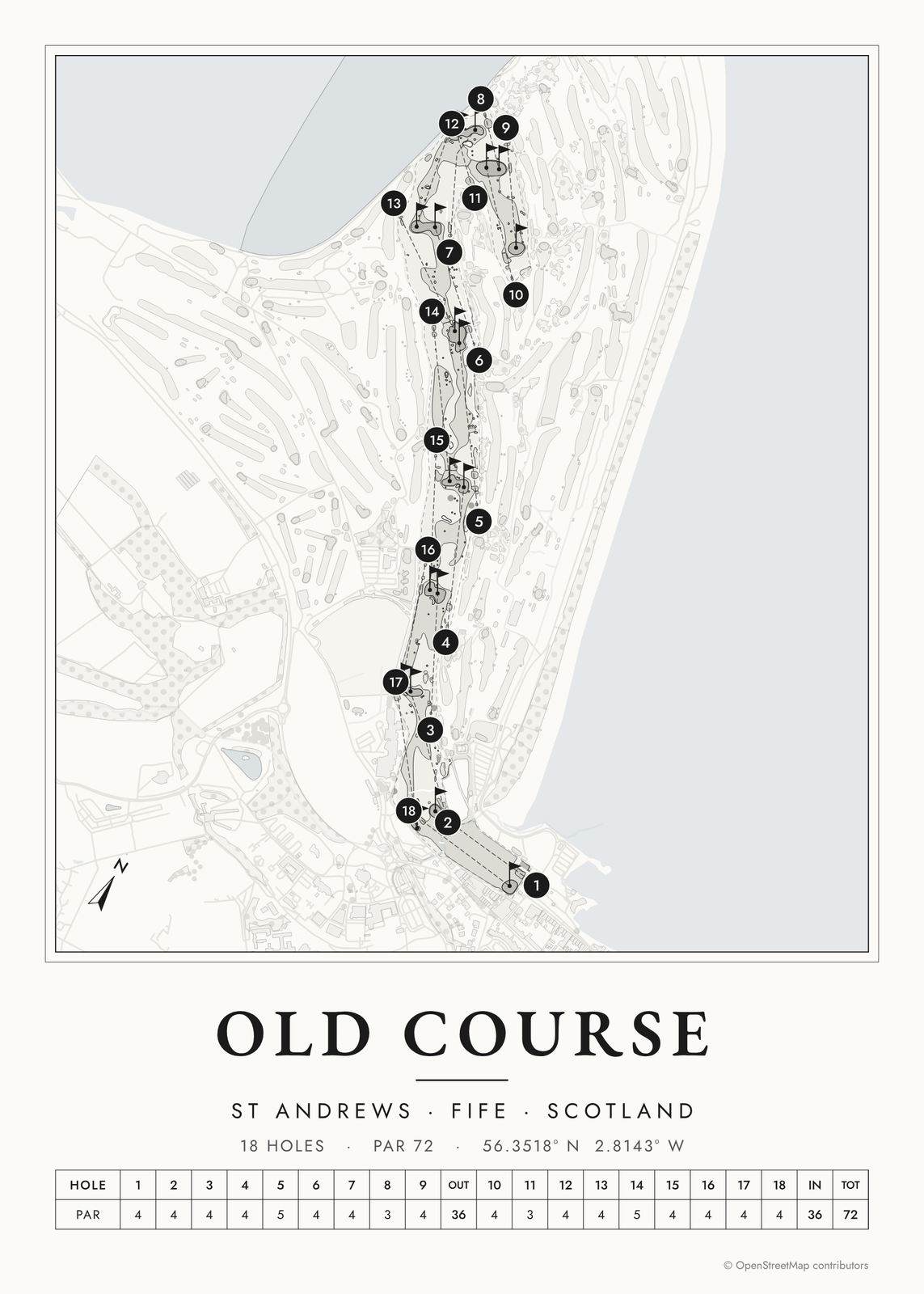 St Andrews Old Course mapout along the bay and back to town
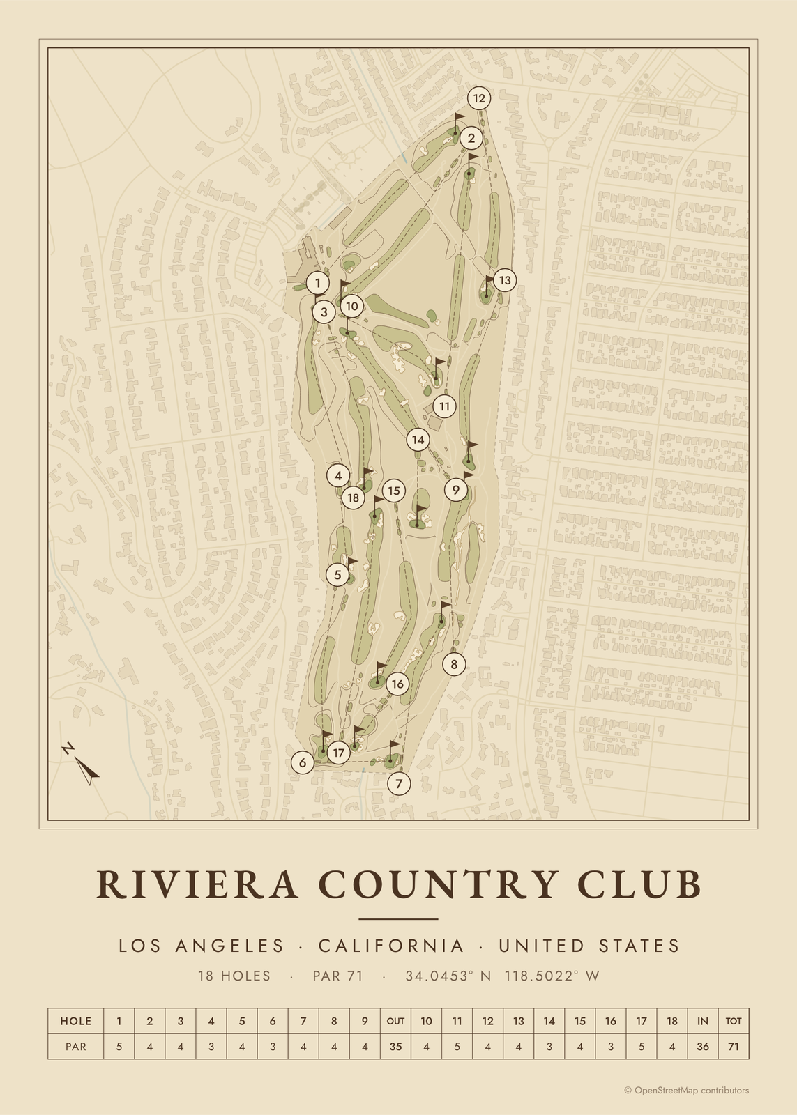 Riviera golf course mapRiviera Country Club, hole by hole
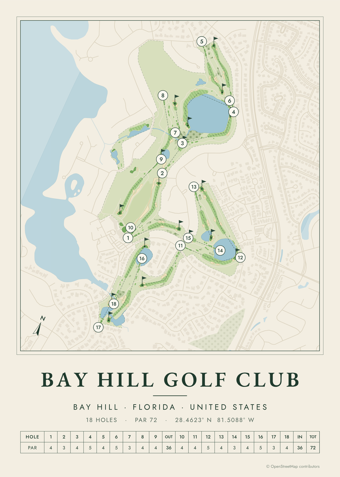 Bay Hill golf course mapArnold Palmer's course, hole by hole
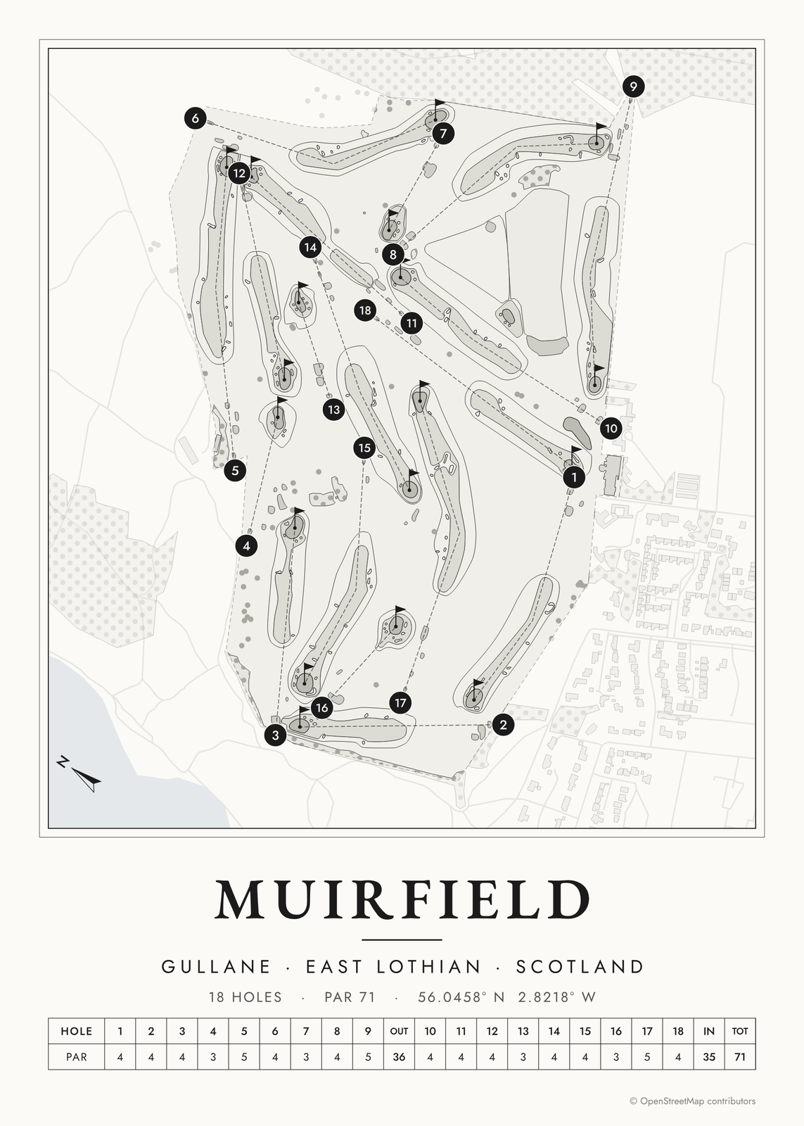 Muirfield golf course mapthe Honourable Company's links, hole by hole
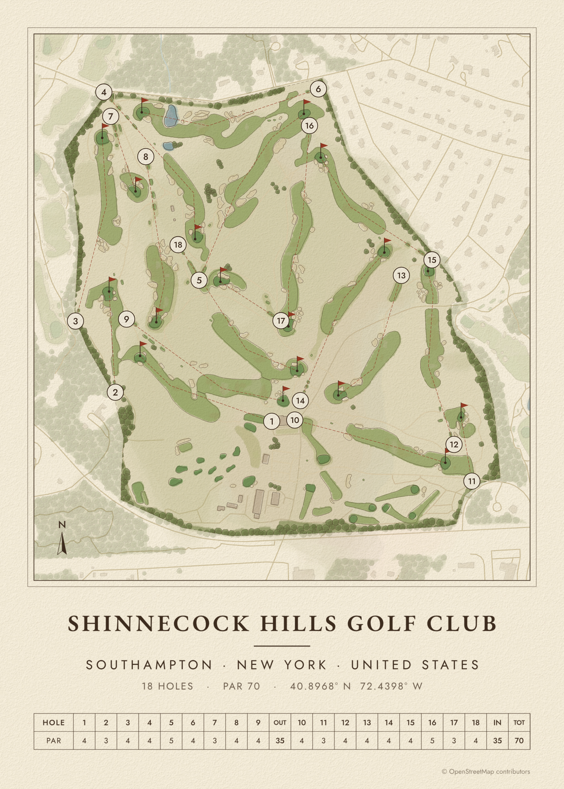 Shinnecock course mapShinnecock Hills, hole by hole
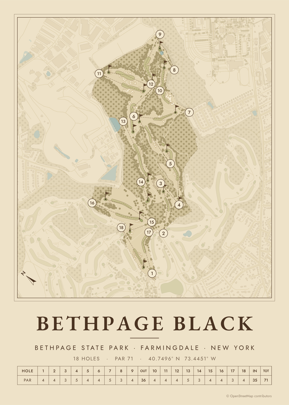 Bethpage Black course mapthe hardest of Bethpage's five courses
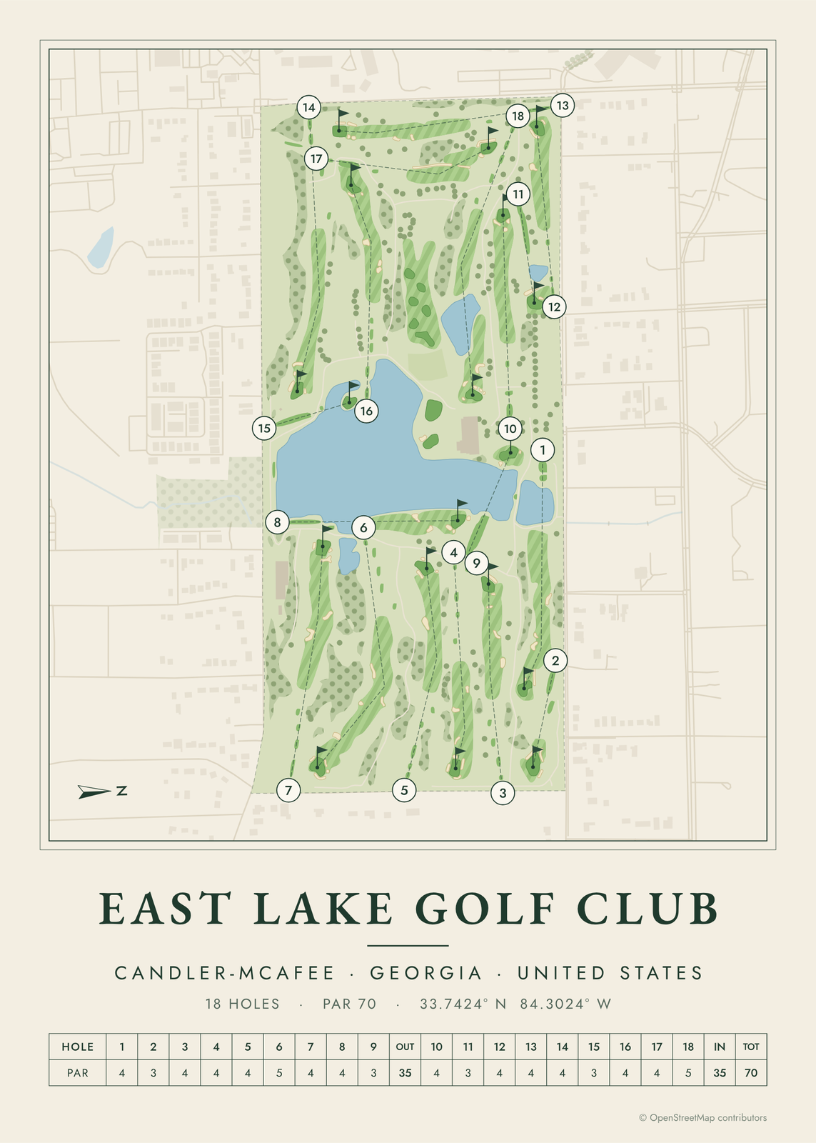 East Lake golf course mapBobby Jones's home course, hole by hole
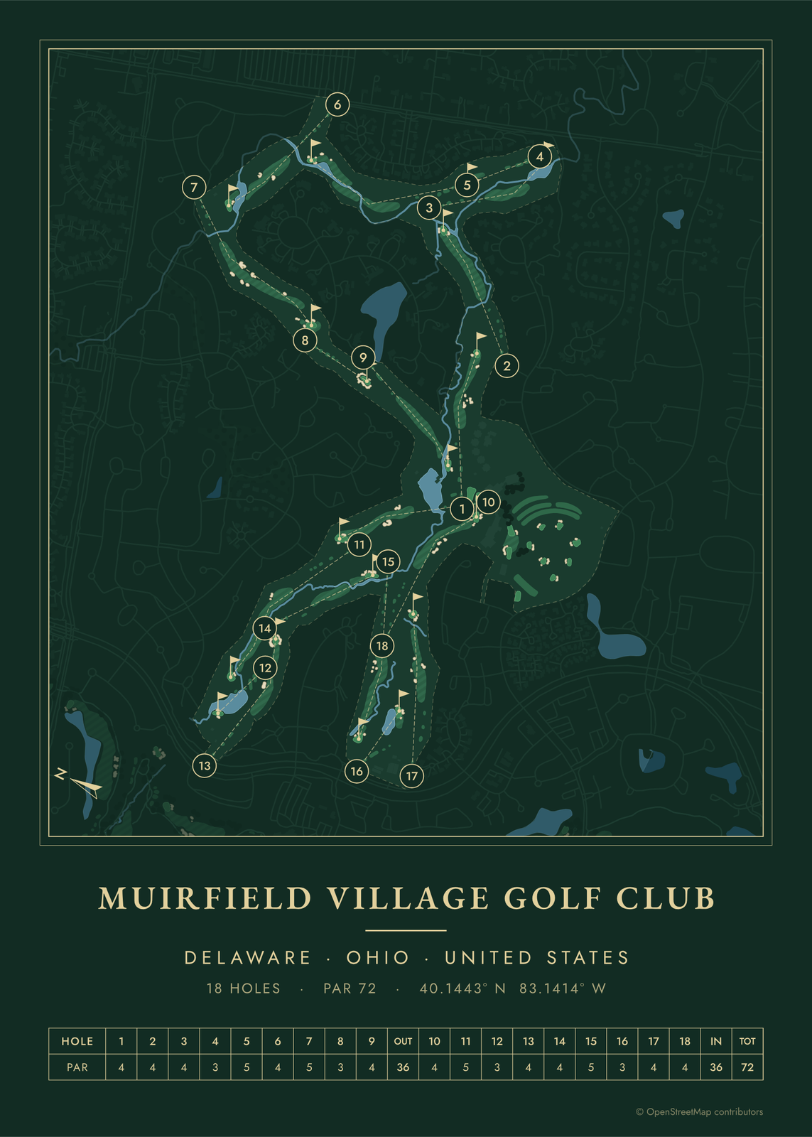 Muirfield Village course mapJack Nicklaus's course, hole by hole
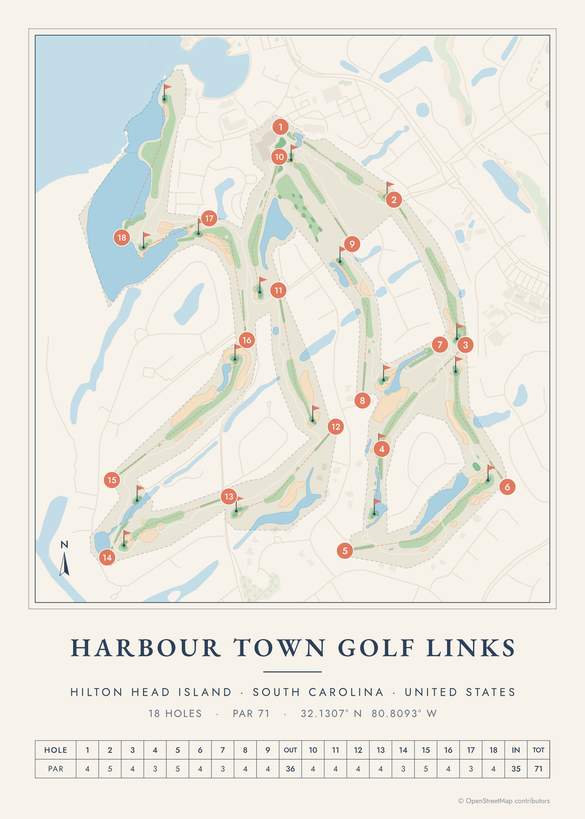 Harbour Town golf course mapHilton Head's links by the lighthouse
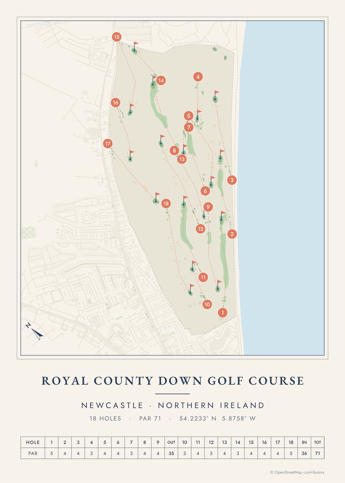 Royal County Down course mapthe links below the Mountains of Mourne
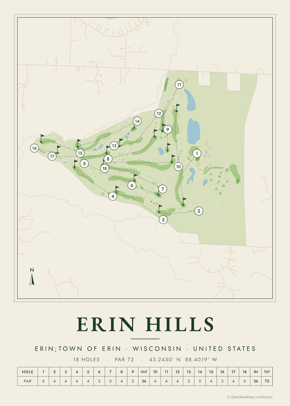 Erin Hills course map18 holes on Wisconsin's glacial hills
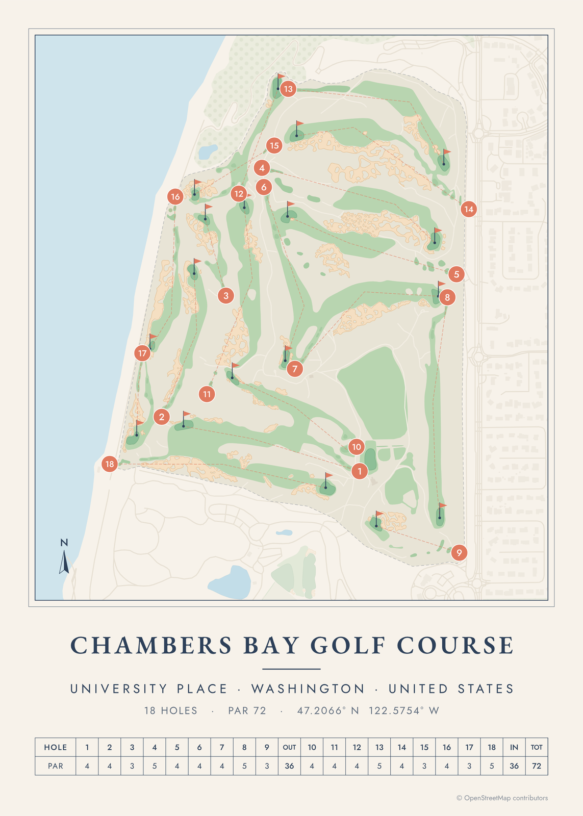 Chambers Bay golf course mapfrom gravel quarry to U.S. Open course
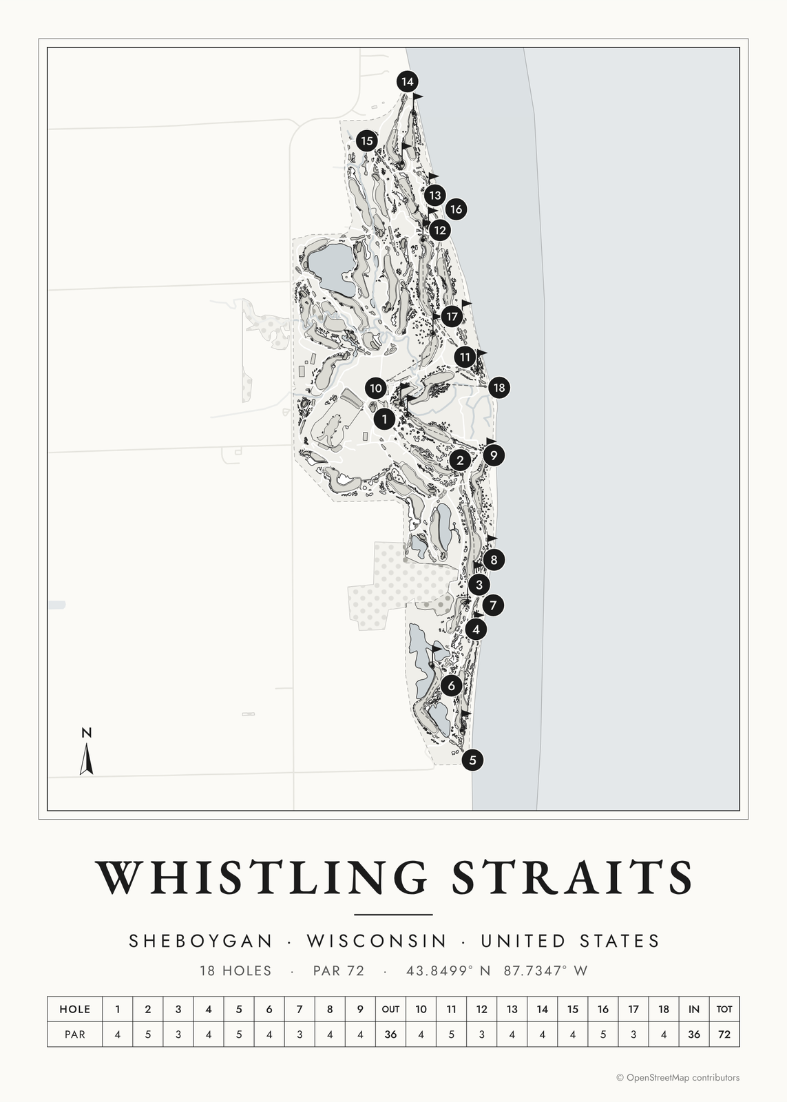 Whistling Straits course mapthe Straits Course on Lake Michigan
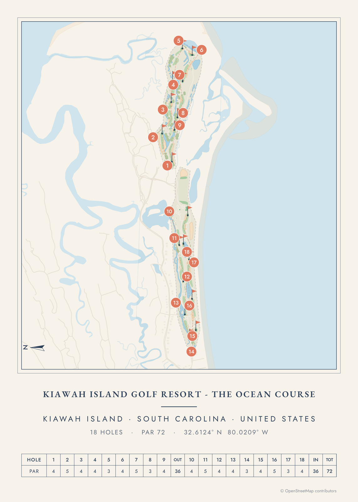 Kiawah Ocean Course mapPete Dye's course on the Atlantic dunes
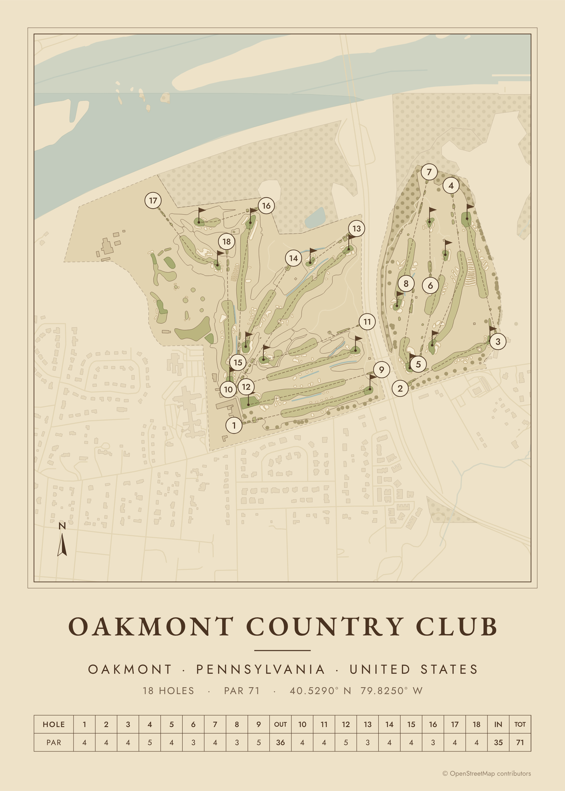 Oakmont golf course mapChurch Pews, fast greens and the Turnpike
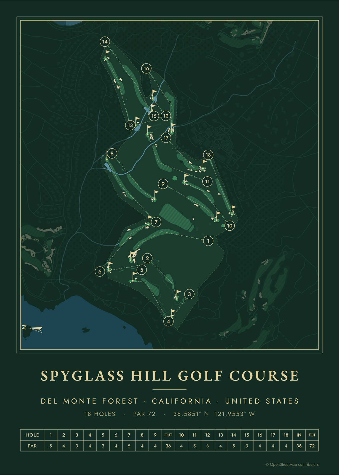 Spyglass Hill golf course mapfrom the dunes into the Del Monte Forest
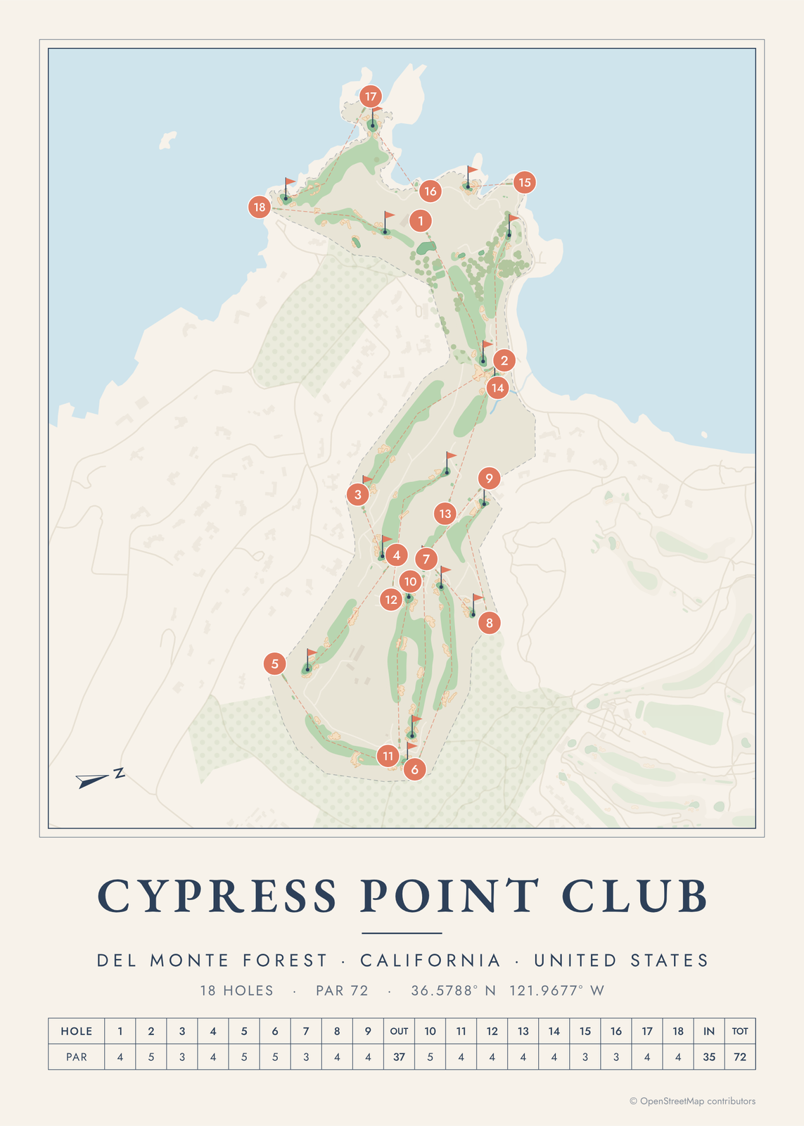 Cypress Point golf course mapthrough forest and dunes to the sea
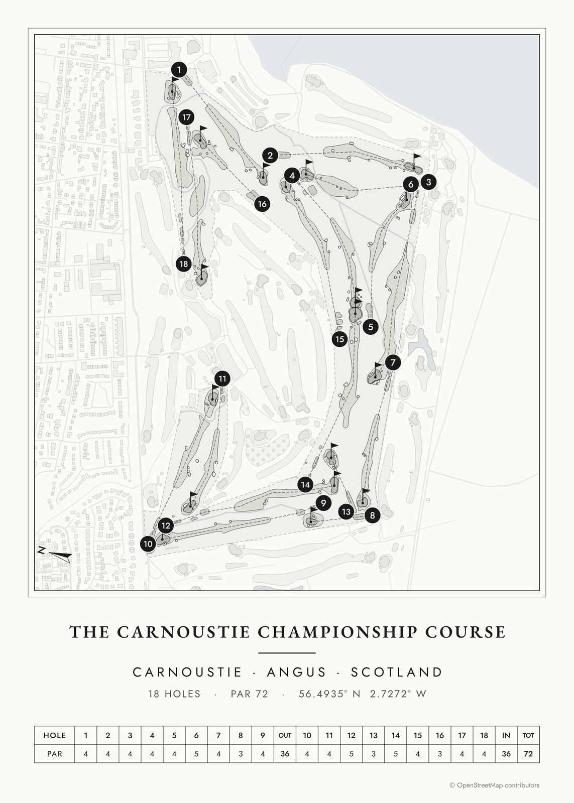 Carnoustie golf course mapthe Championship Course, from Cup to Home
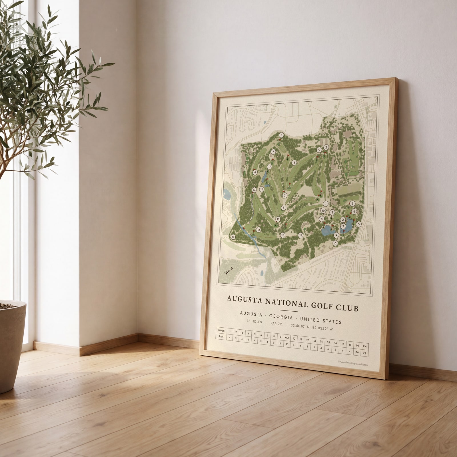
On the wall
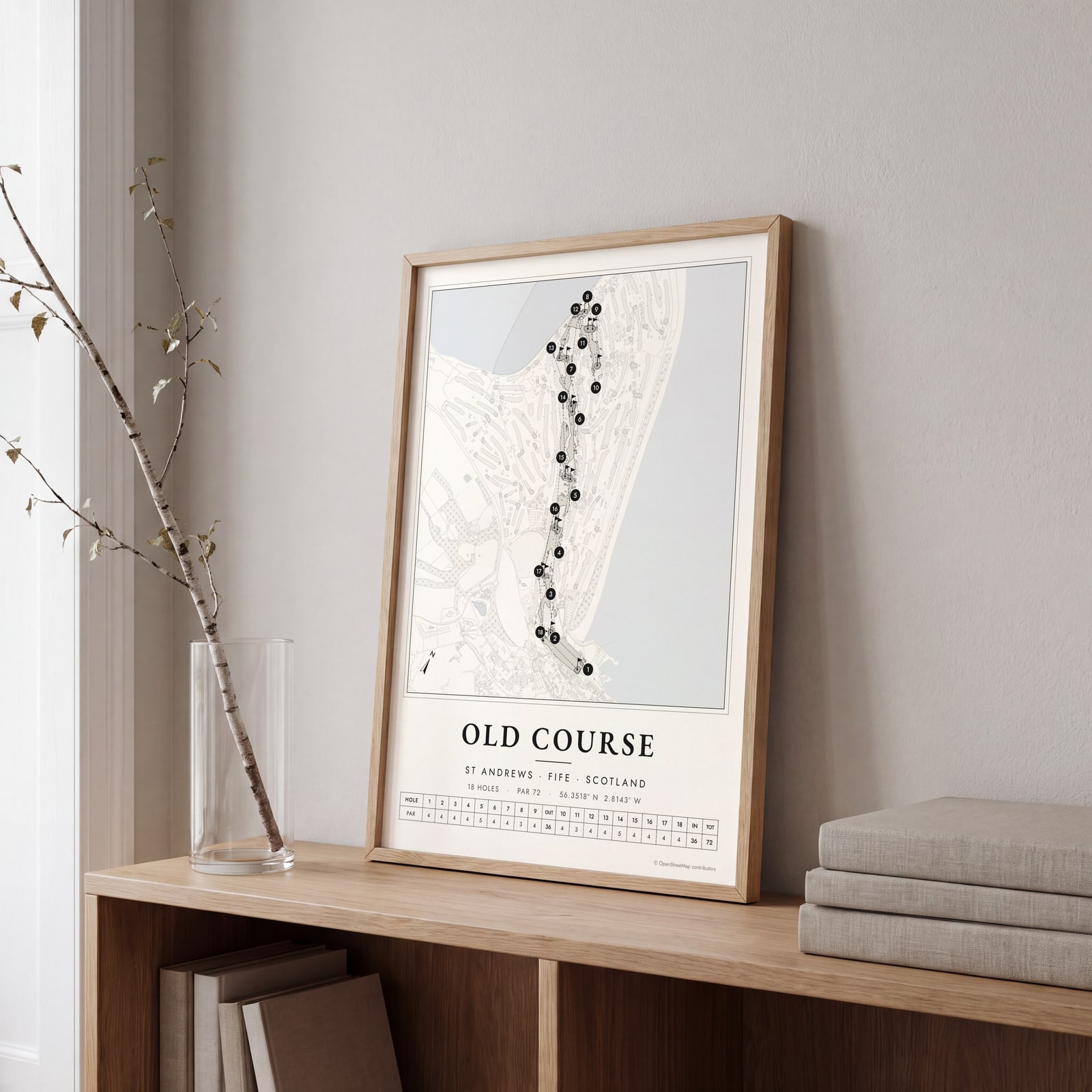
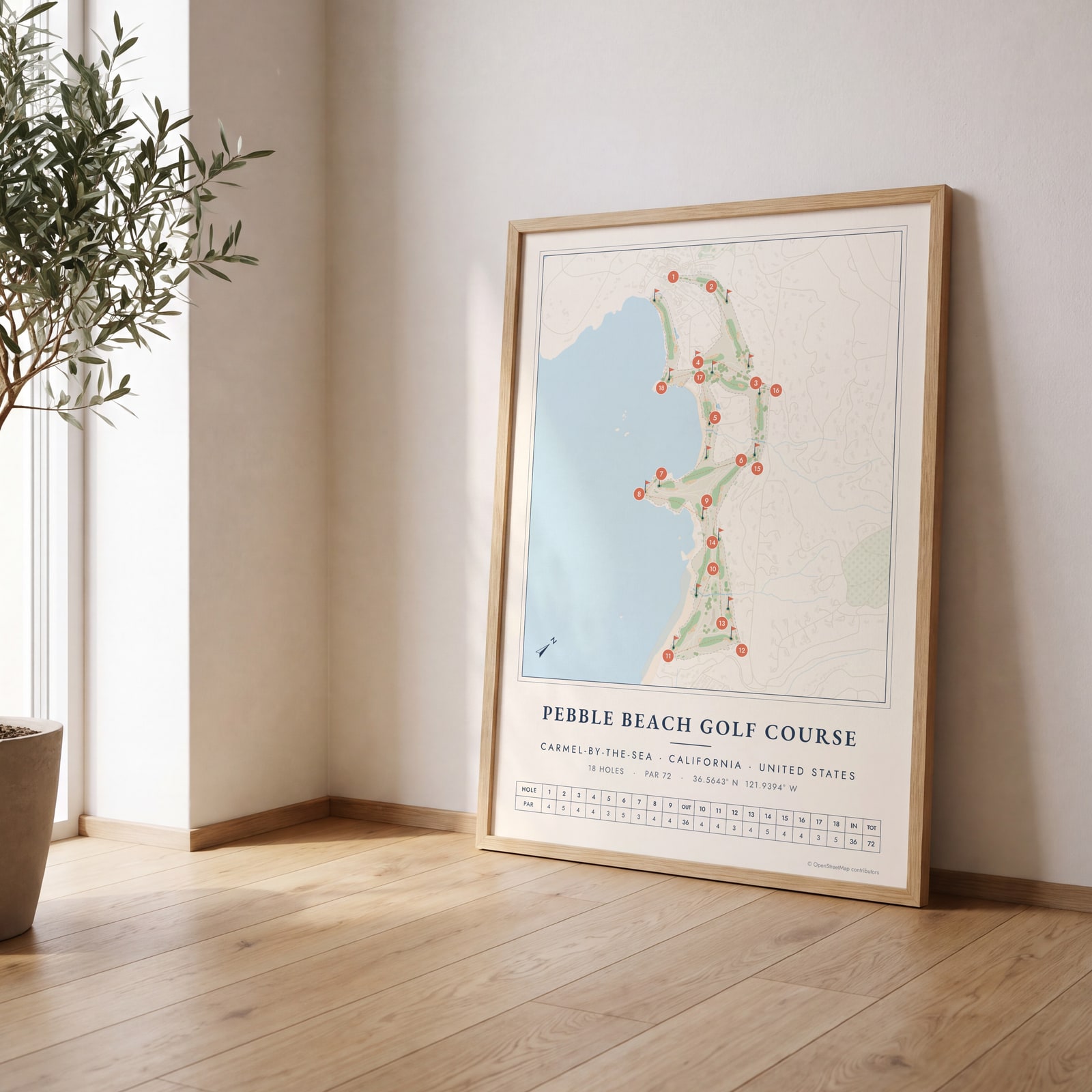
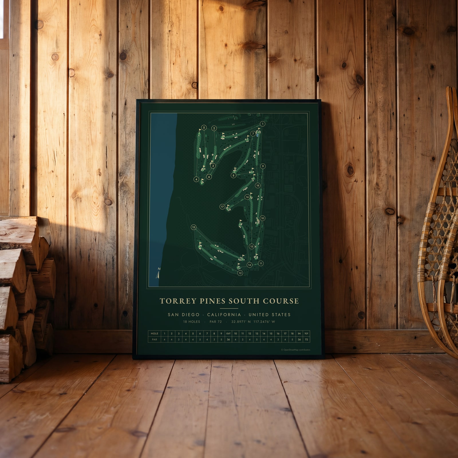
A few of them framed at home. Open any one to make it yours.
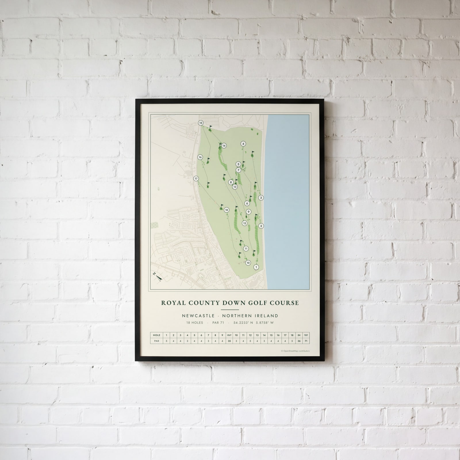
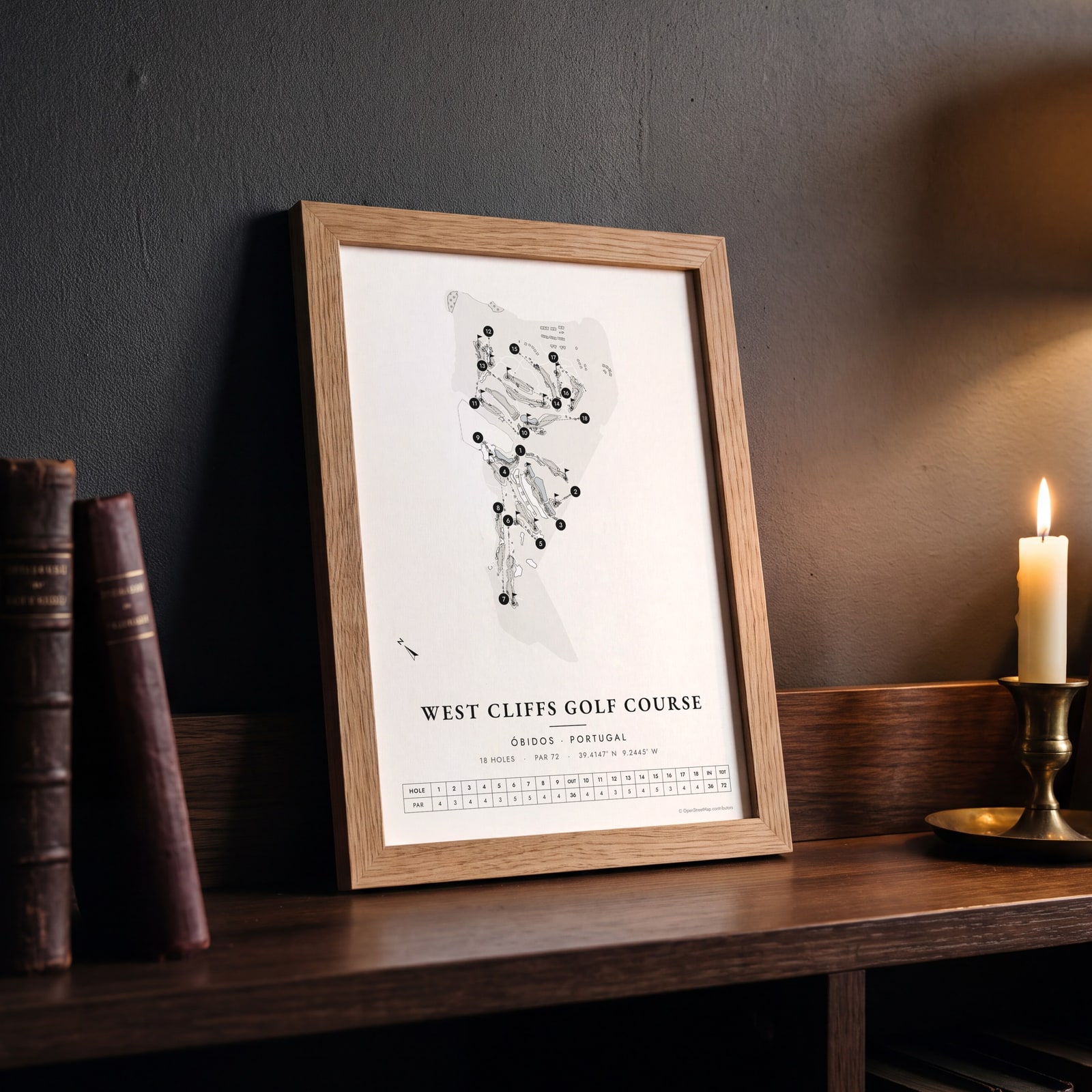
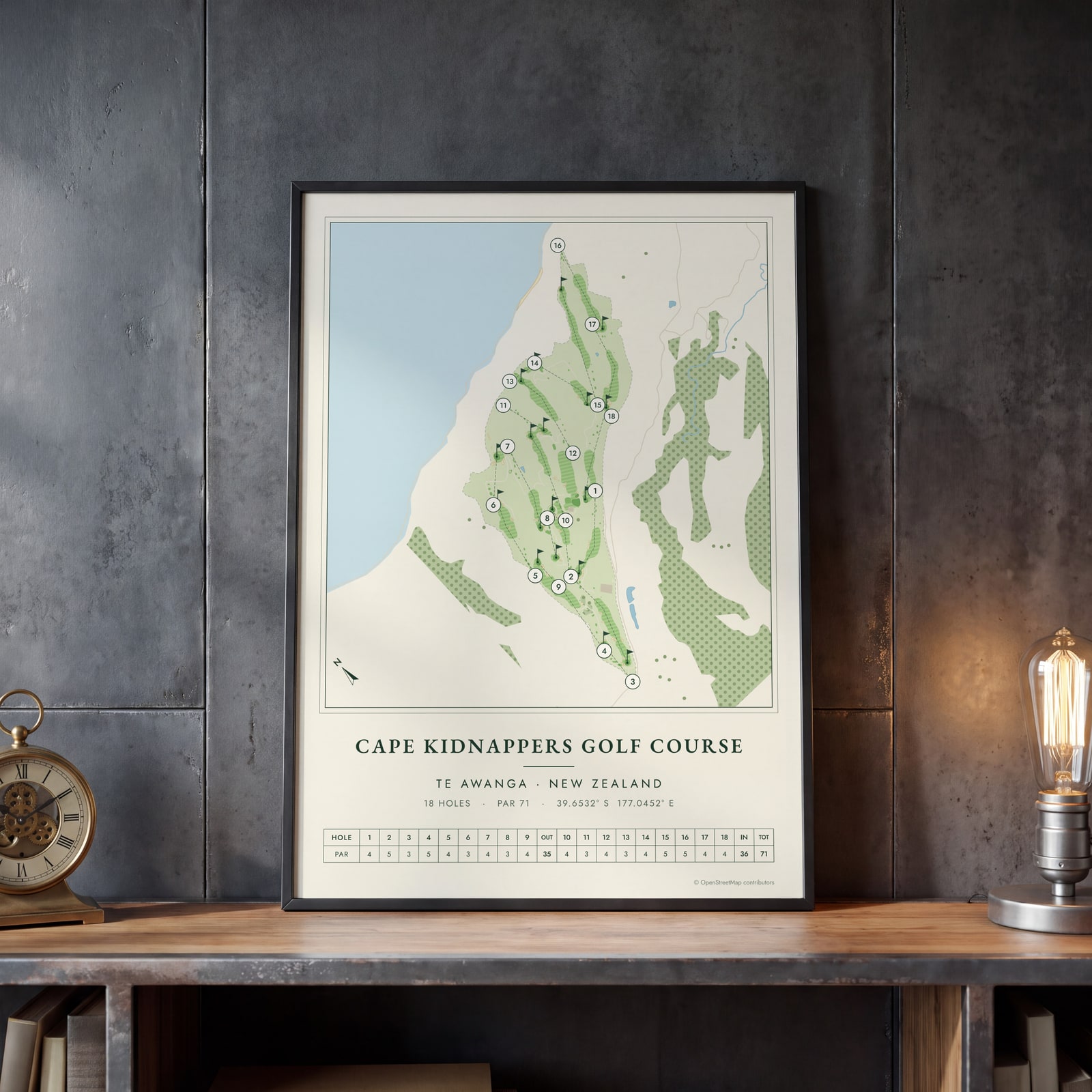
Examples
Open any of them to change the words, the place, the date and the style, then download the print file.
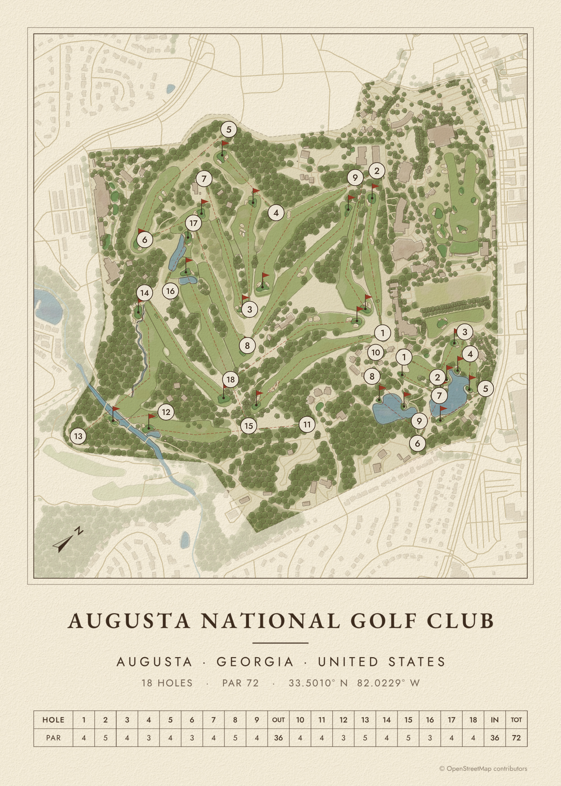 Augusta National in heritage watercolorEdit this →
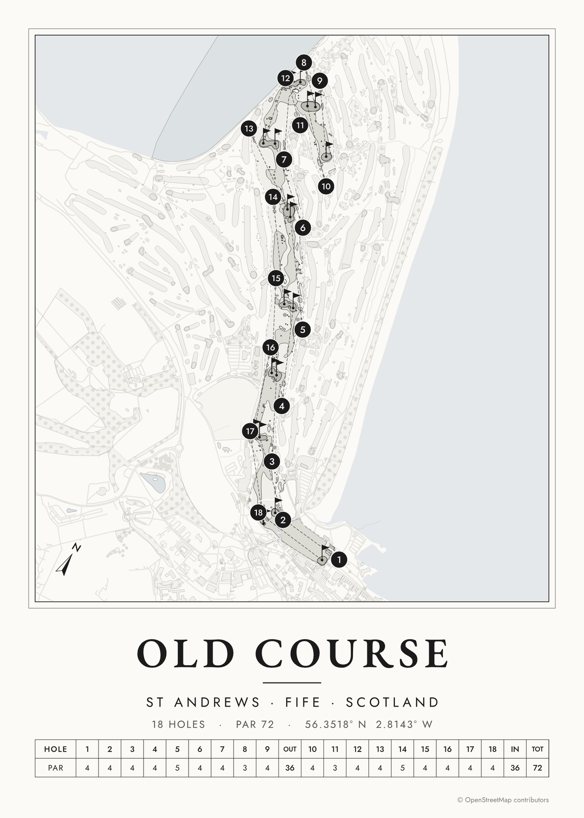 The Old Course at St Andrews in links inkEdit this →
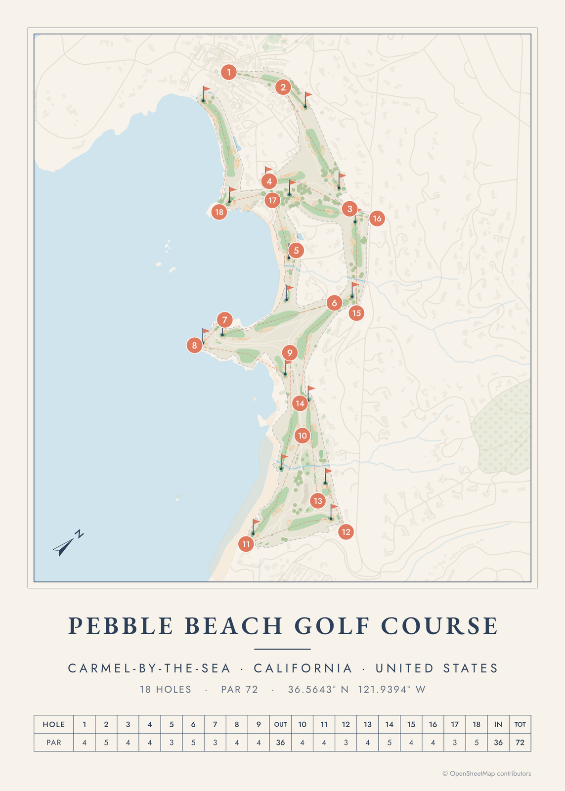 Pebble Beach in seaside colorsEdit this →
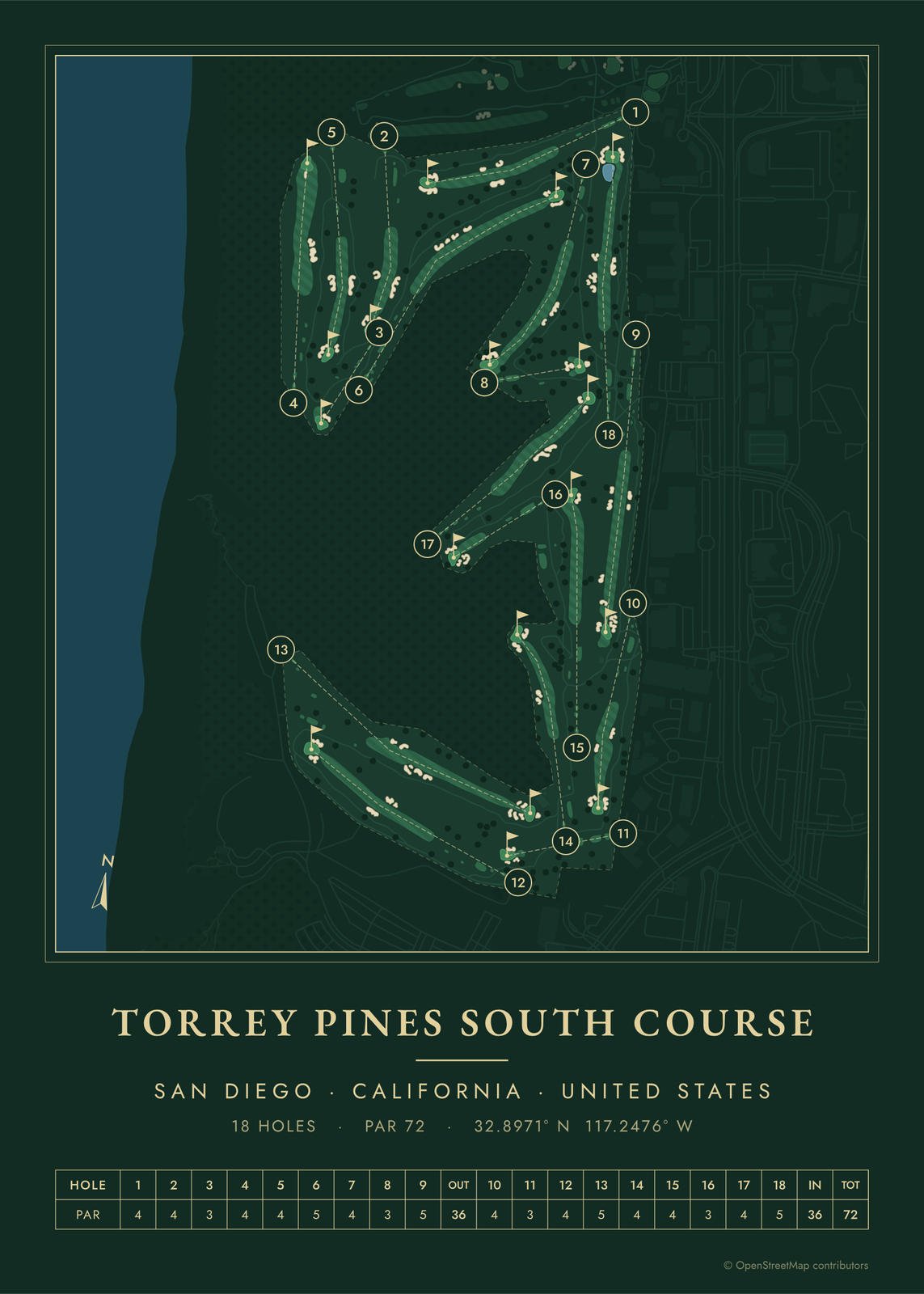 Torrey Pines South in evergreen night colorsEdit this →
Colors
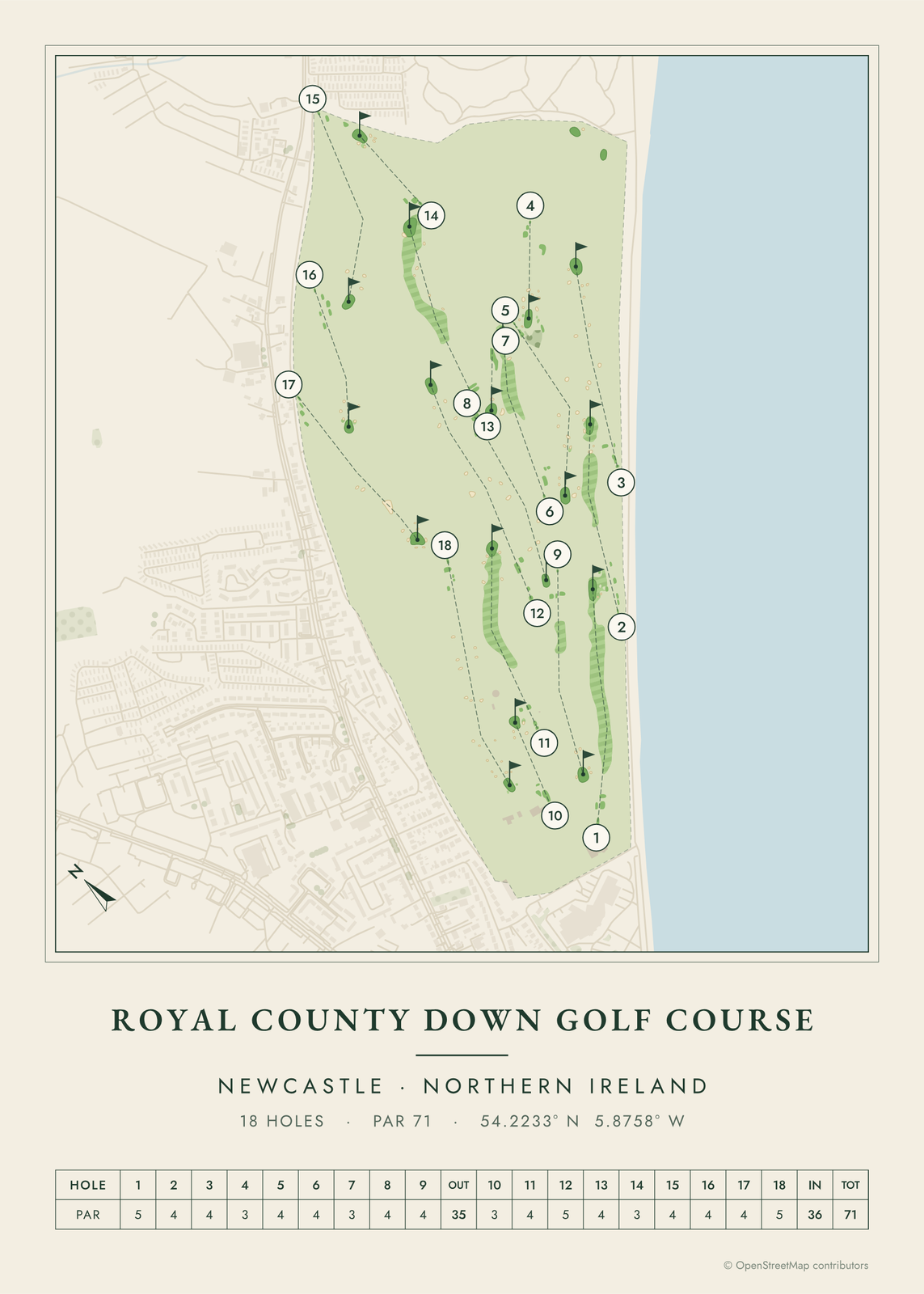 Royal County Down in clubhouse greensEdit this →
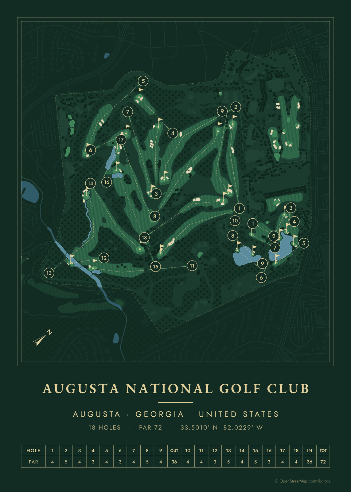 Augusta National in evergreen nightEdit this →
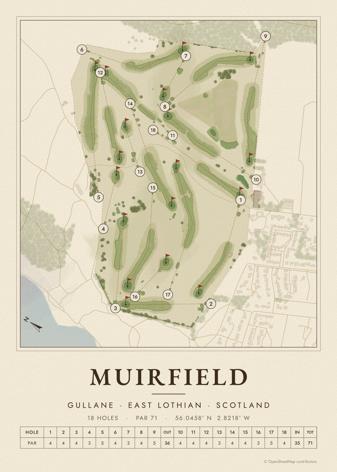 Muirfield in heritage watercolorEdit this →
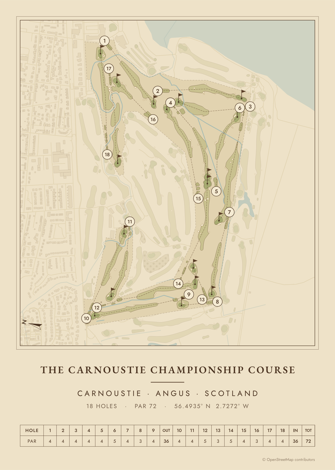 Carnoustie as a vintage yardage bookEdit this →
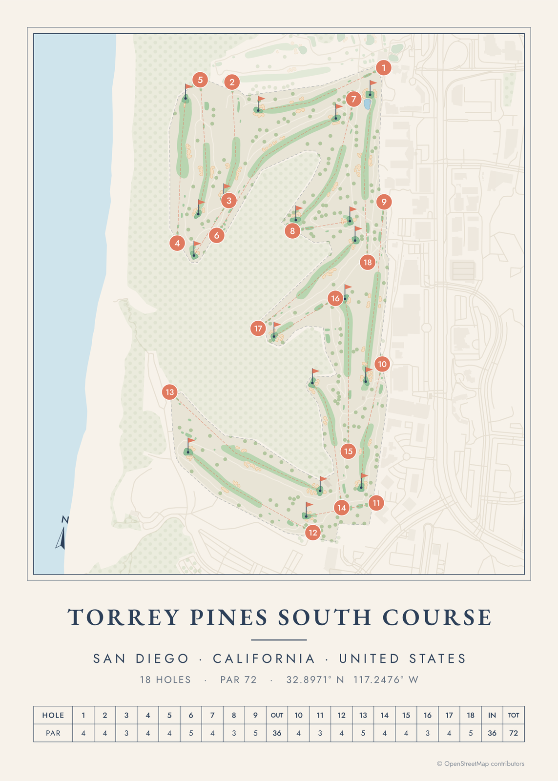 Torrey Pines South in seaside colorsEdit this →
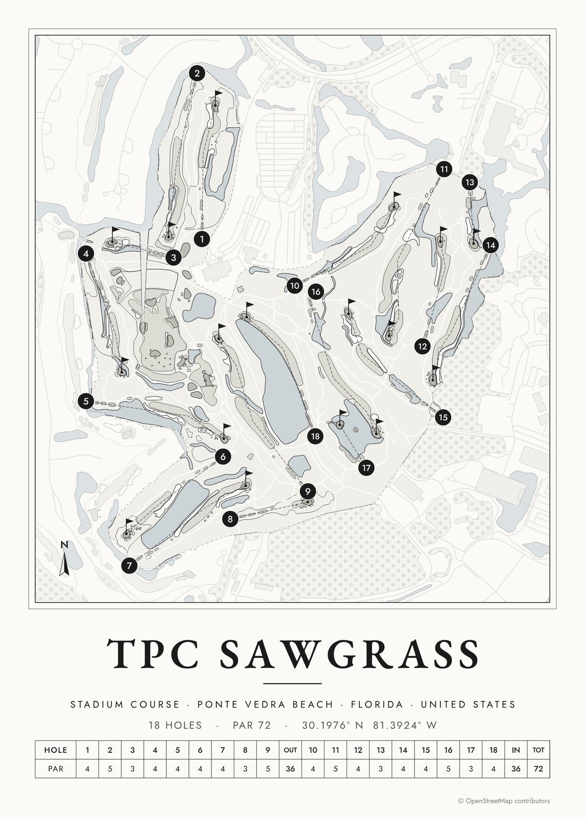 TPC Sawgrass in links inkEdit this →
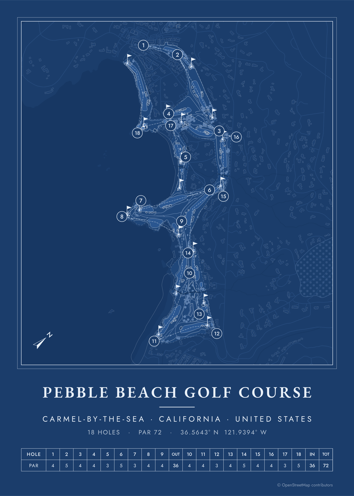 Pebble Beach as a blueprintEdit this →
Layouts
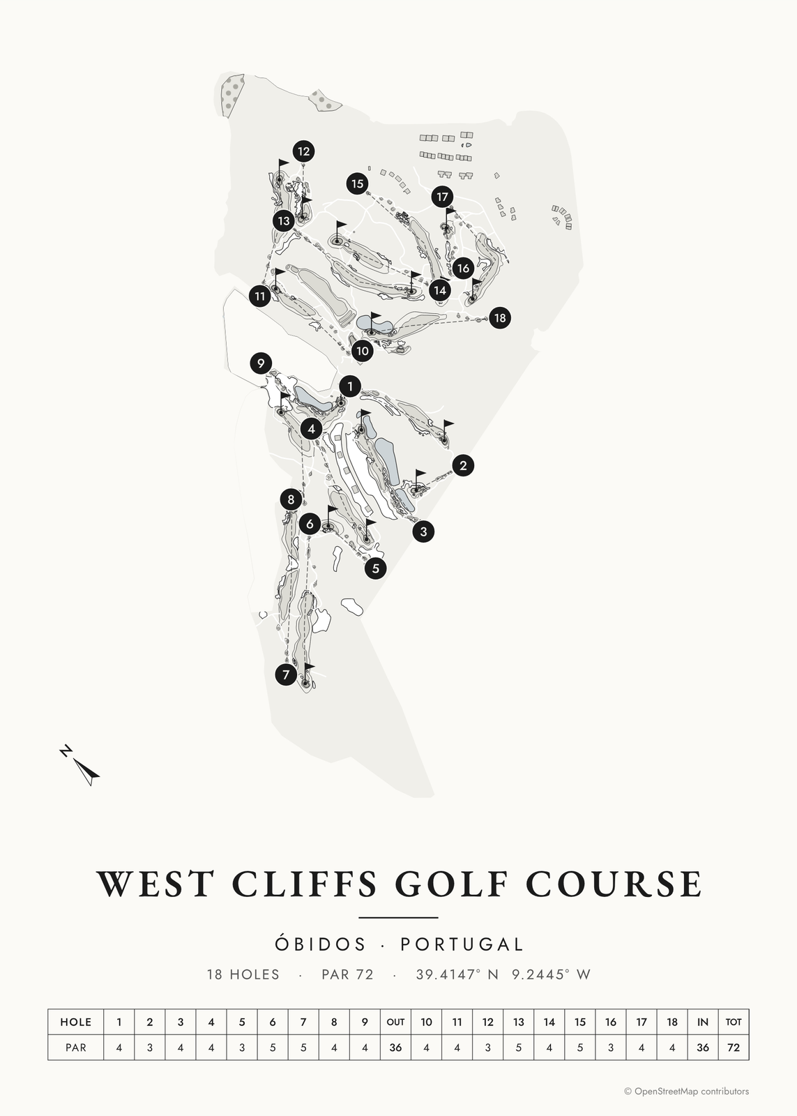
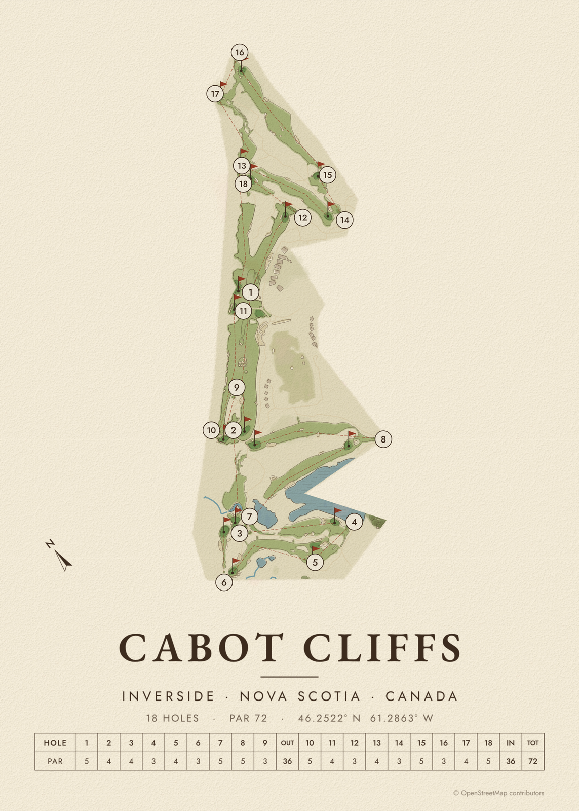
Bucket-list courses
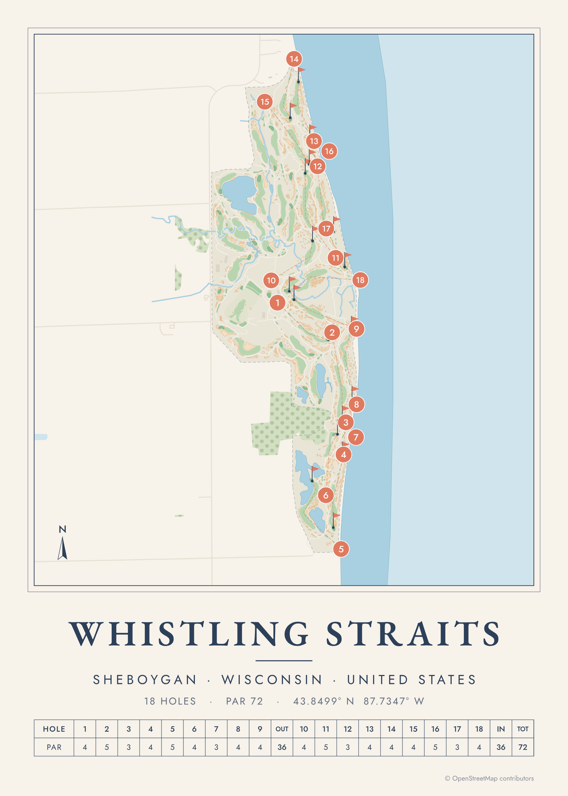

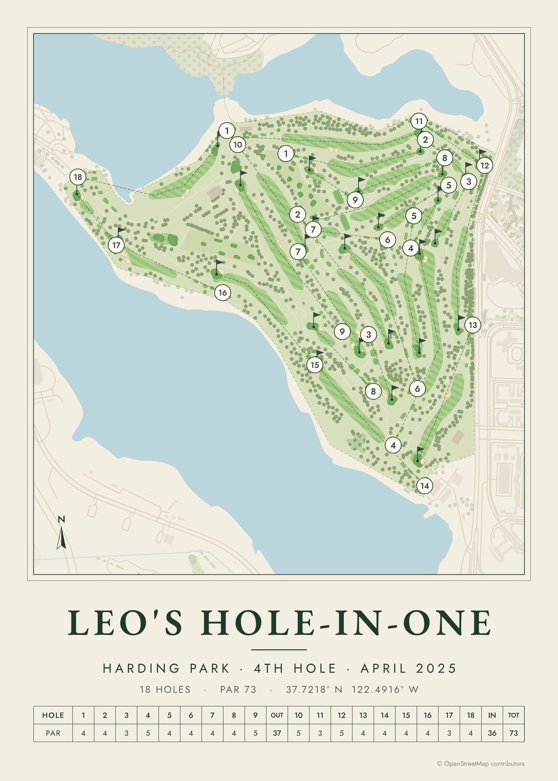
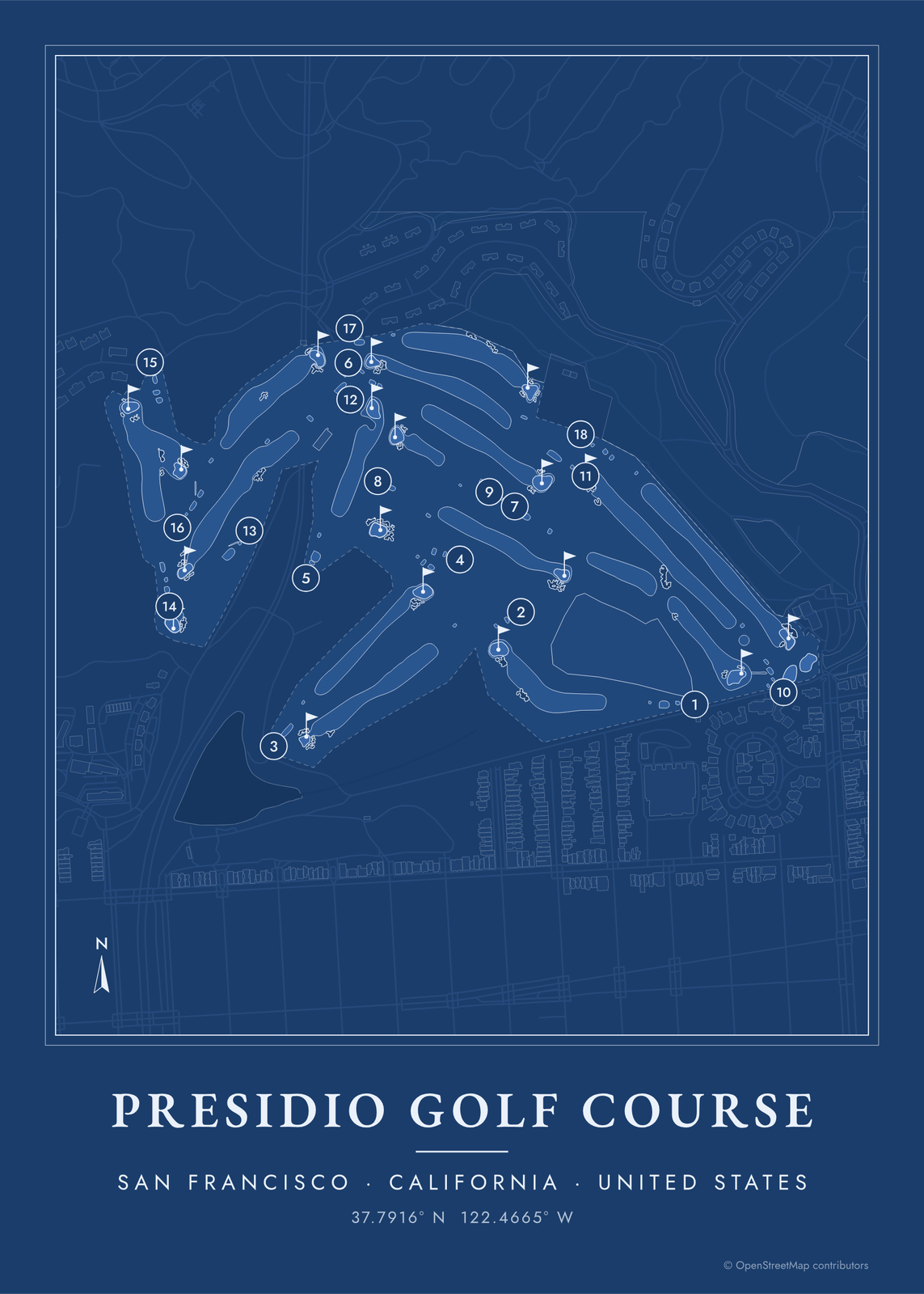
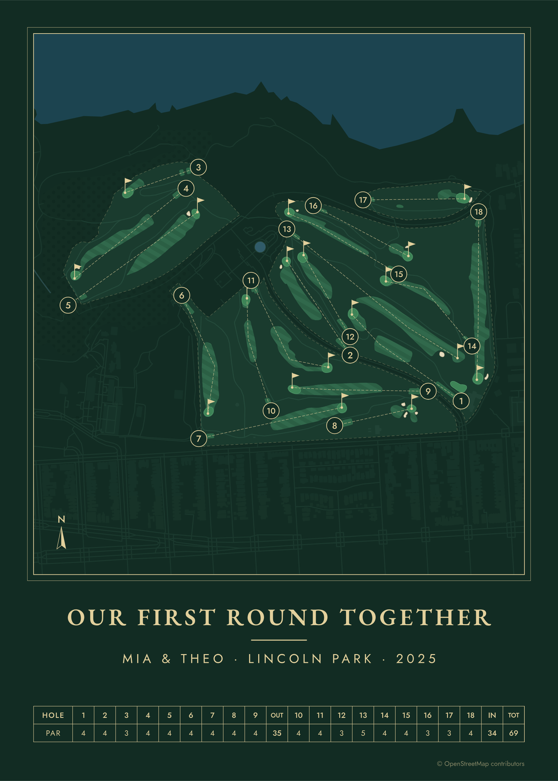
What's on the poster
- The whole course from above: tees, fairways, greens, bunkers, water, trees and paths.
- Each hole numbered, with a line from tee to green so the routing reads at a glance.
- A scorecard row of holes and pars, the course's name, its town and coordinates.
- Seven color styles, from clubhouse greens and seaside blues to heritage watercolor and a vintage yardage book.
Any course, not only the famous ones
The catalog has over 9,000 courses that are mapped well enough to print, across the United States, Canada, the UK, Ireland, Europe and beyond. Search your home course by name or town, or browse by country.
Questions
Can I map my own course?
If it's in the catalog, yes: search it by name or town in the editor. The catalog only lists courses whose holes are mapped well enough for a good poster.
Is it a good gift for a golfer?
It's one of the best: their home course, the course of a memorable round or a trip, with the date in the title. It suits Father's Day, a birthday, a retirement or a club anniversary.
Where does the course map come from?
From OpenStreetMap, where volunteers trace fairways, greens, bunkers, water and trees from aerial imagery. It's a map of the course as it's mapped there, not the club's official yardage book, and its credit line prints small in the corner.
What sizes can I print?
US Letter, 8 × 10, 11 × 14, 12 × 16 and 12 × 18 in, A4 and A3, free. You download a 300 DPI JPEG drawn at the size you pick, for any print shop. Larger prints, up to 24 × 36 in, are coming soon.
Related

Gift ideas by occasion



Every example is made with the Posterage generators. Change anything, then download it as a 300 DPI JPEG.