Custom map art the streets of any place, as a poster
Search for a city, a neighborhood or a single street and choose how much of it to show. The map draws every road, river, lake and park from real map data, as clean line art. Pick a style, add a title and a line of your own, and print it at home or at any print shop.
Map art ideas and cities
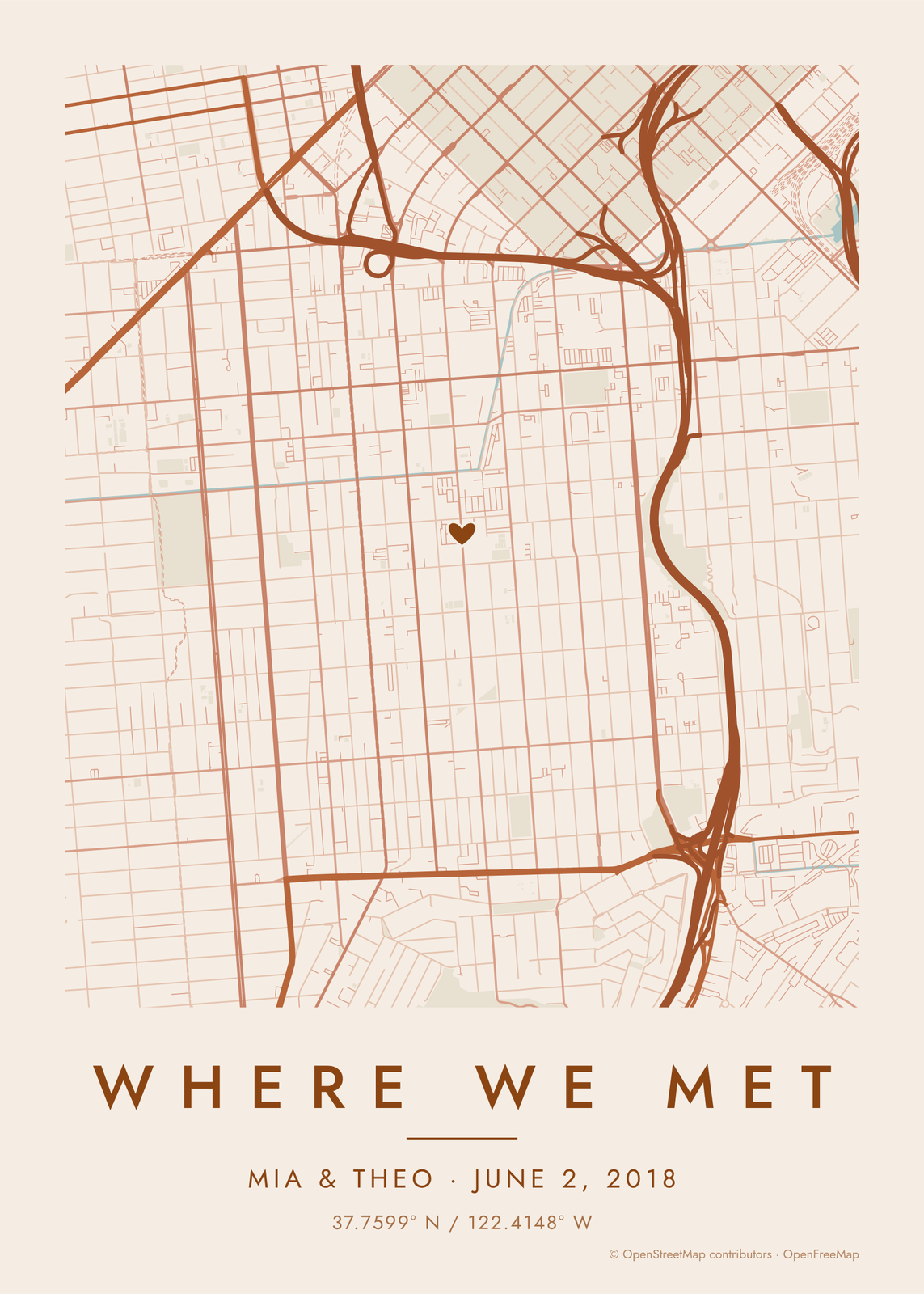
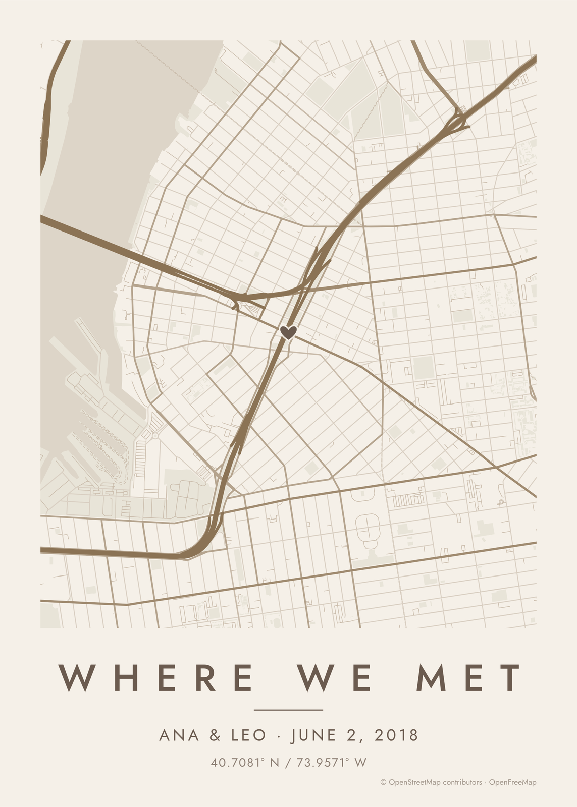 Where we meta map with a heart on the spot
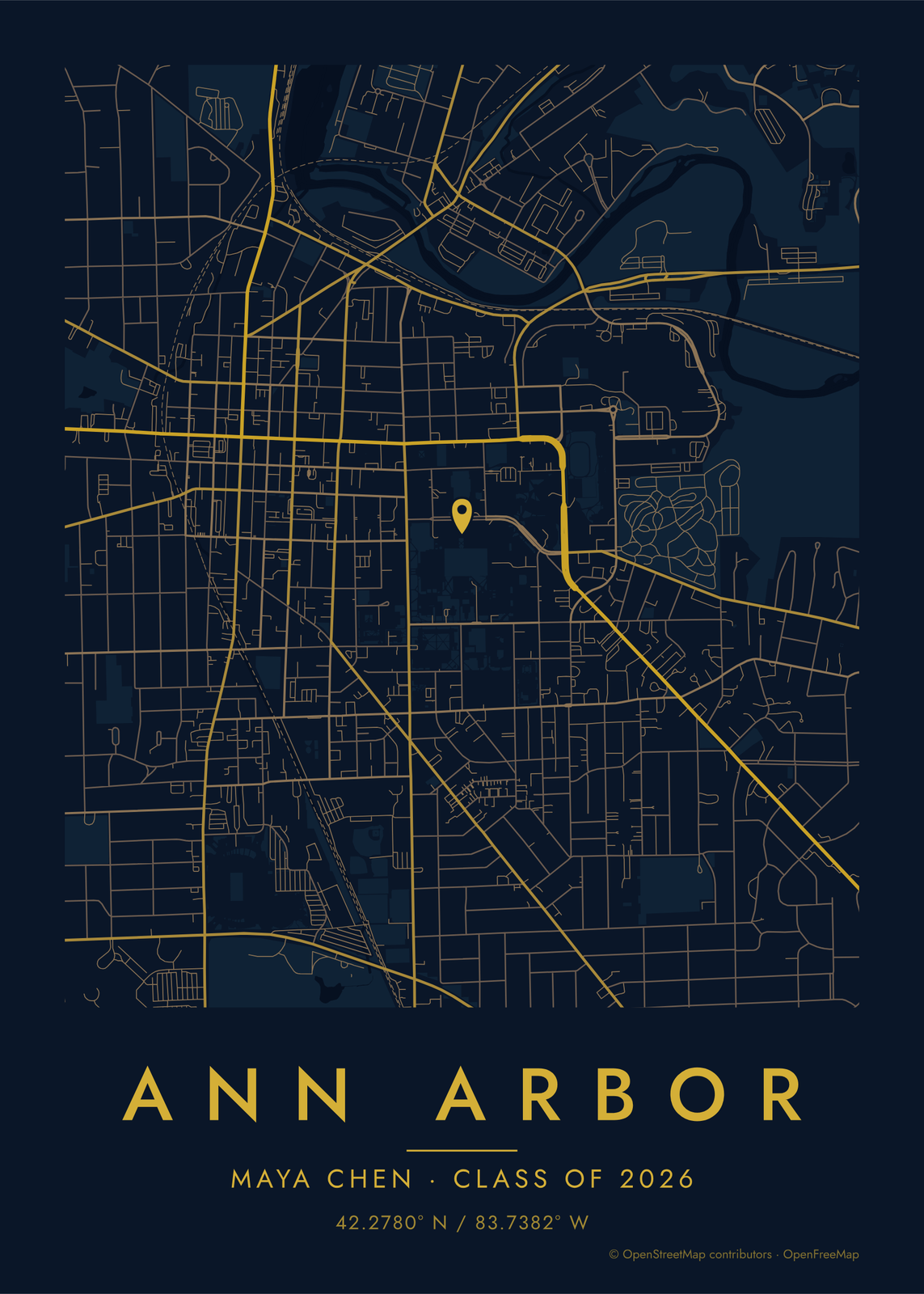 A graduation mapthe college town, with the class year
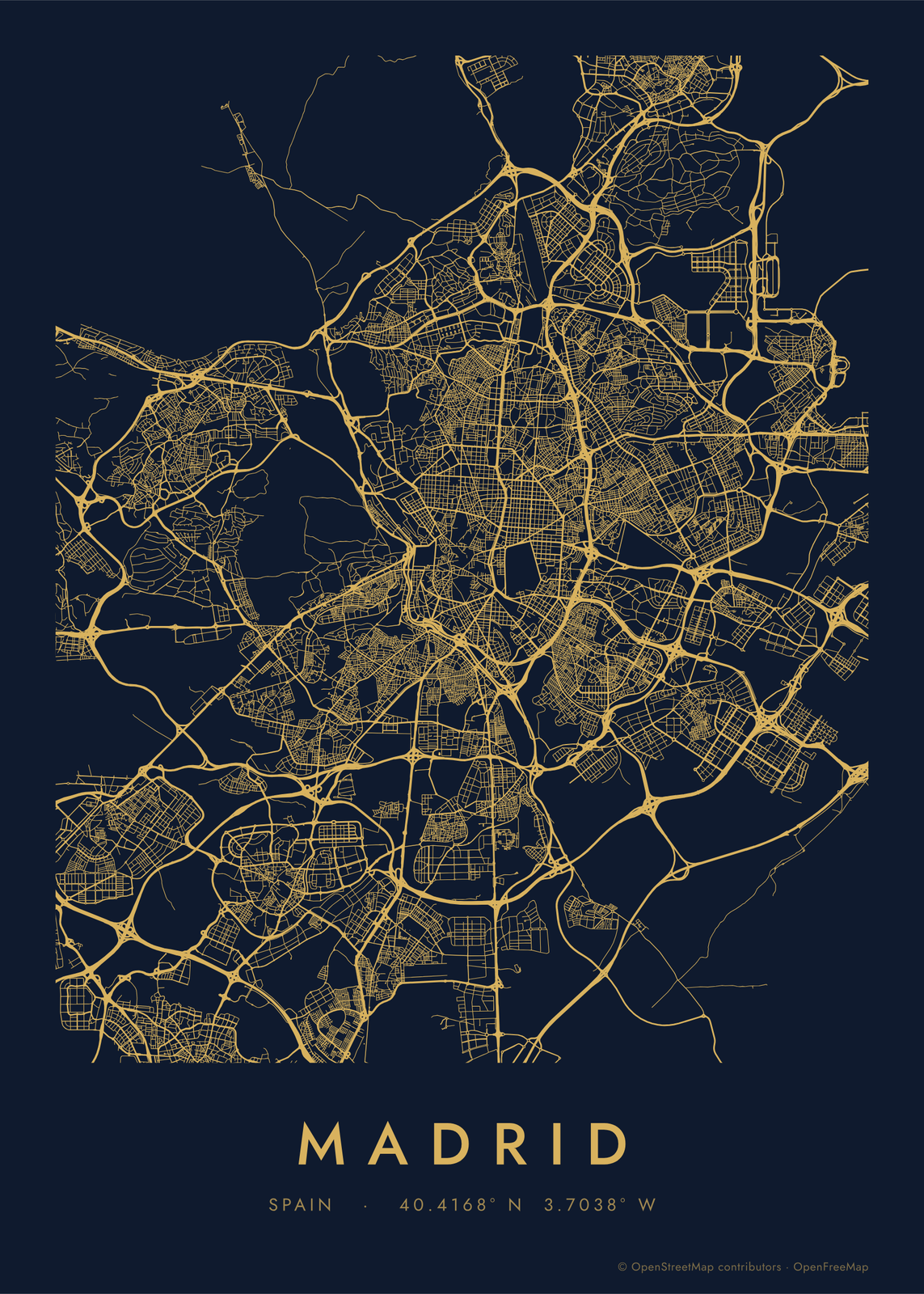 Road map artevery road of a city, in a single color
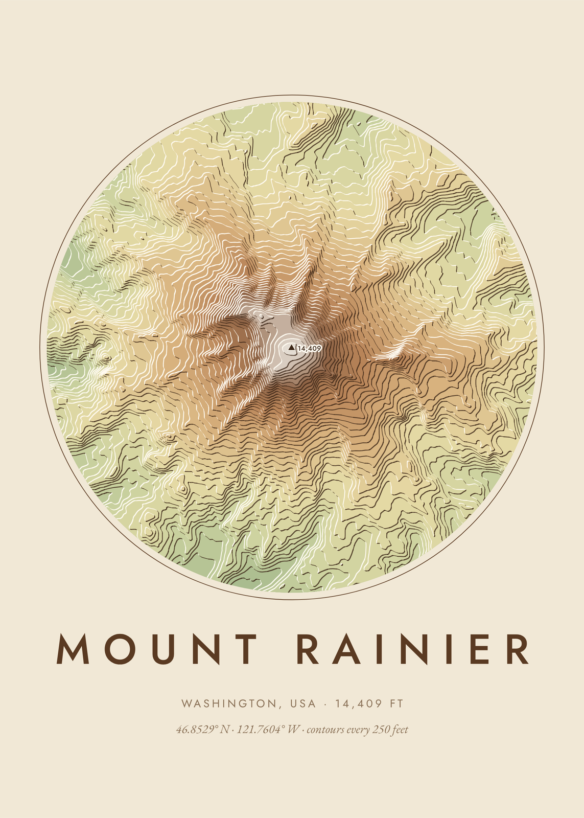 Topographic map arta mountain, canyon or lake drawn from real elevation data
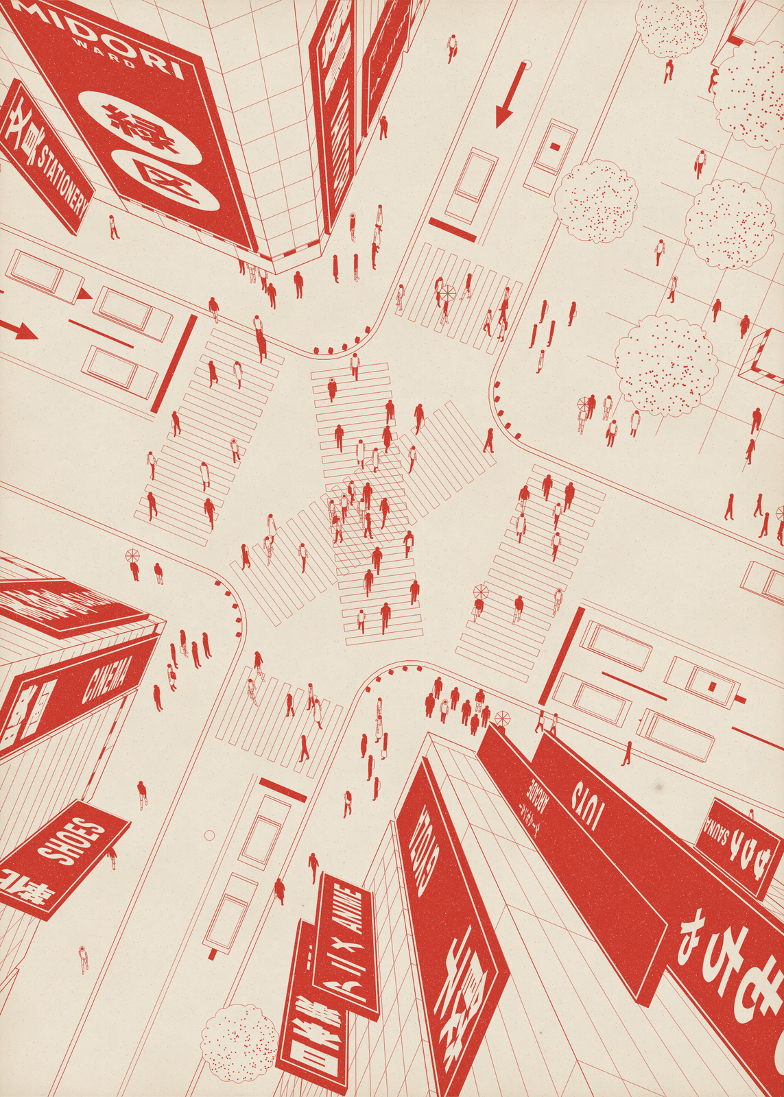 City postera busy crossing from high above, with your district on the sign
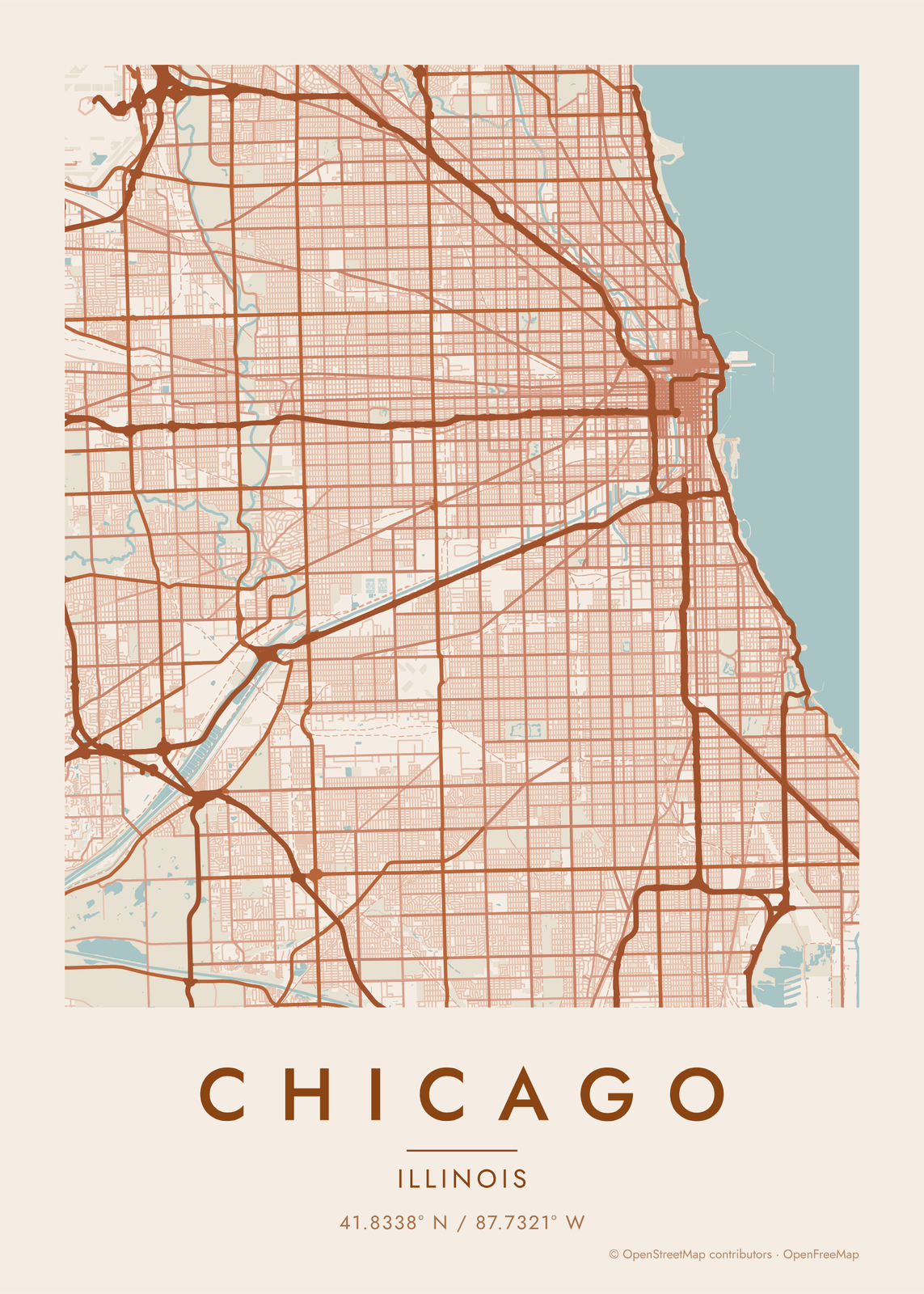 Chicago map posterthe grid, the river and the lake, as art
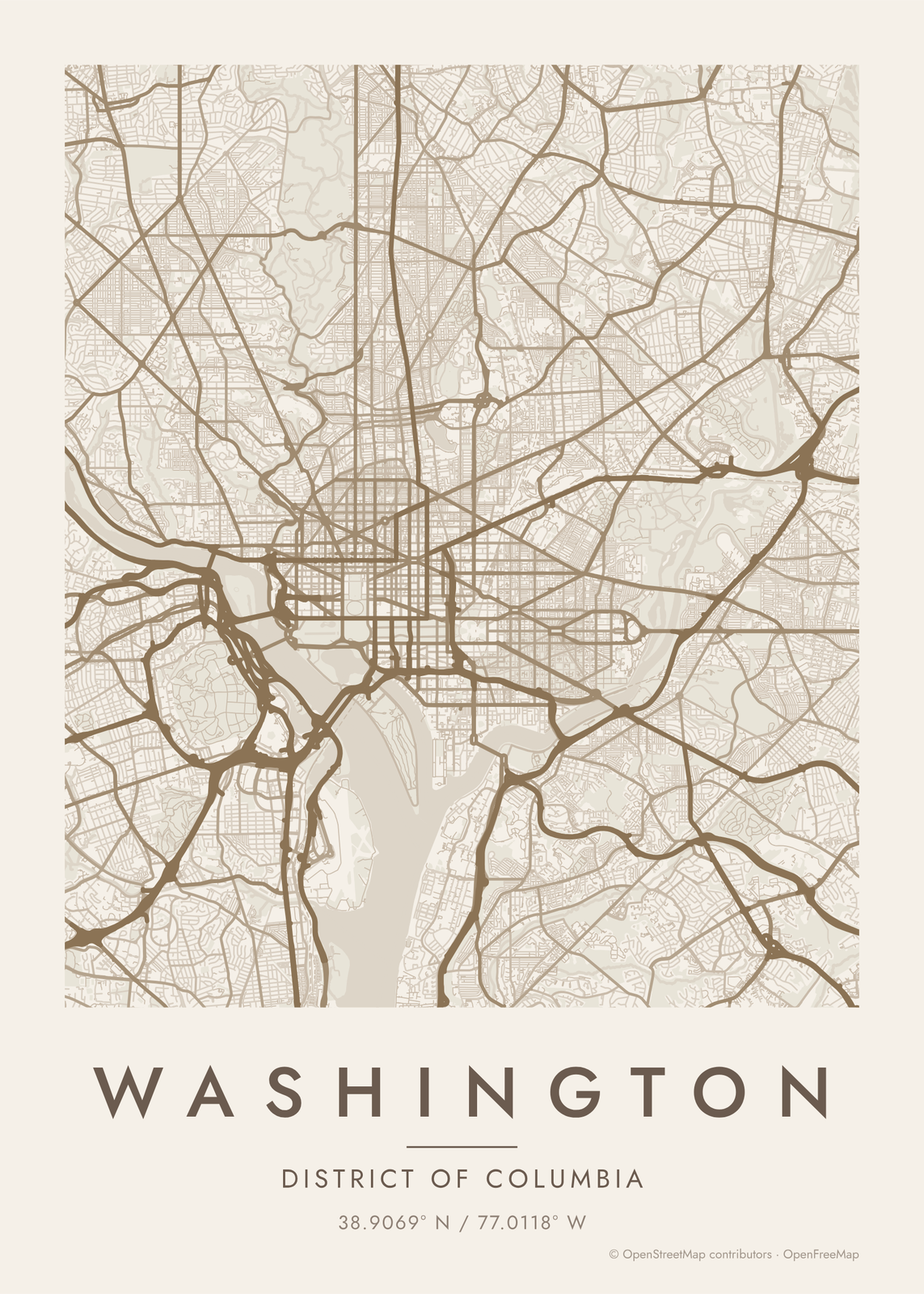 Washington DC map posterthe grid, the avenues and the circles, as art
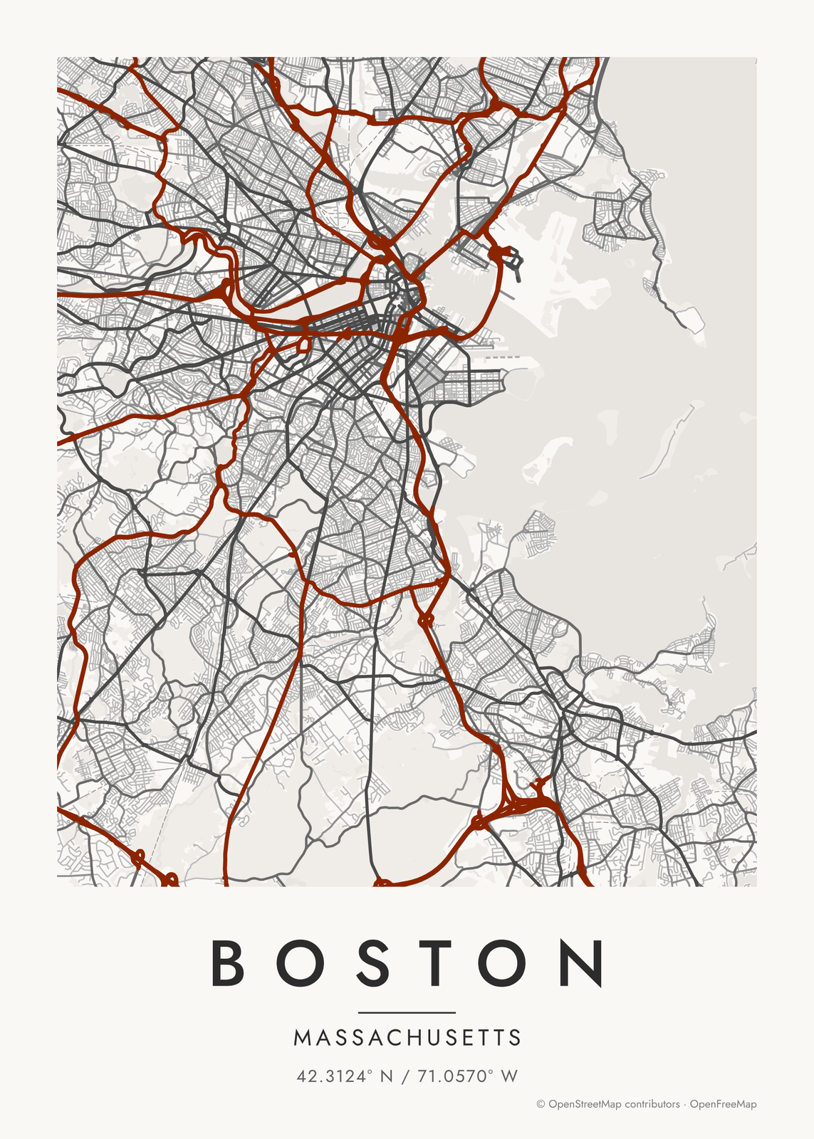 Boston map posterthe crooked streets, the river and the harbor, as art
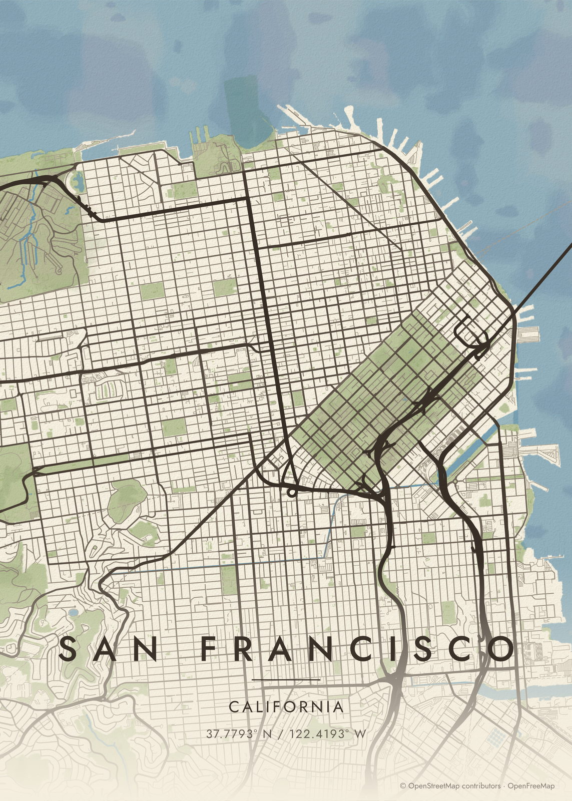
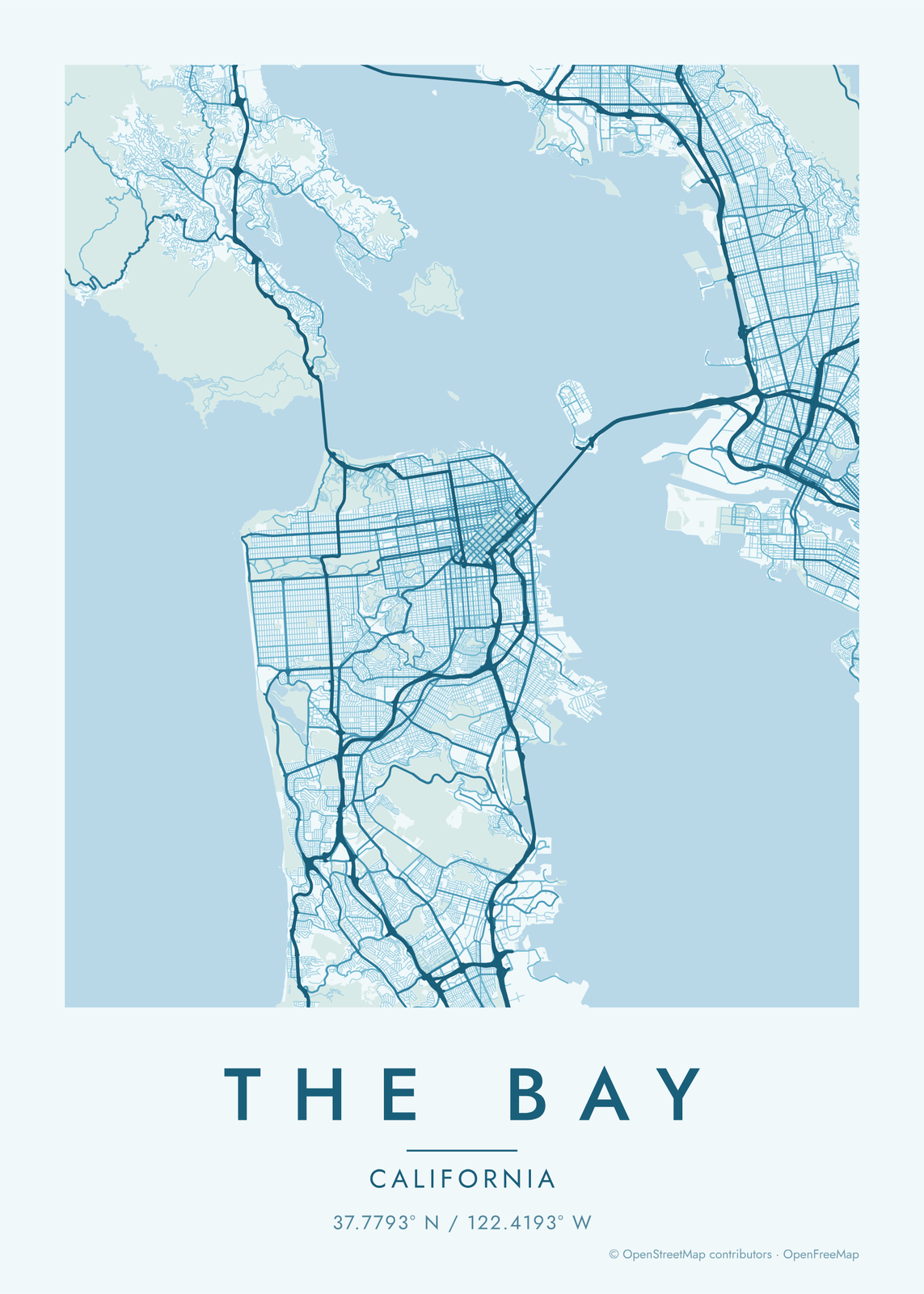
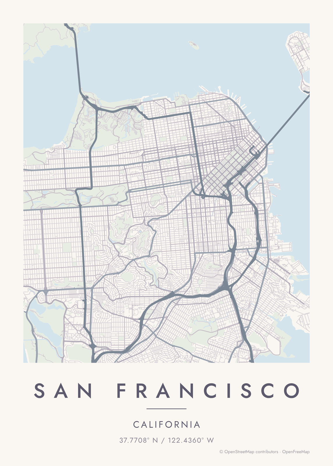 San Francisco map posterthe grid, the park and the bay, as art
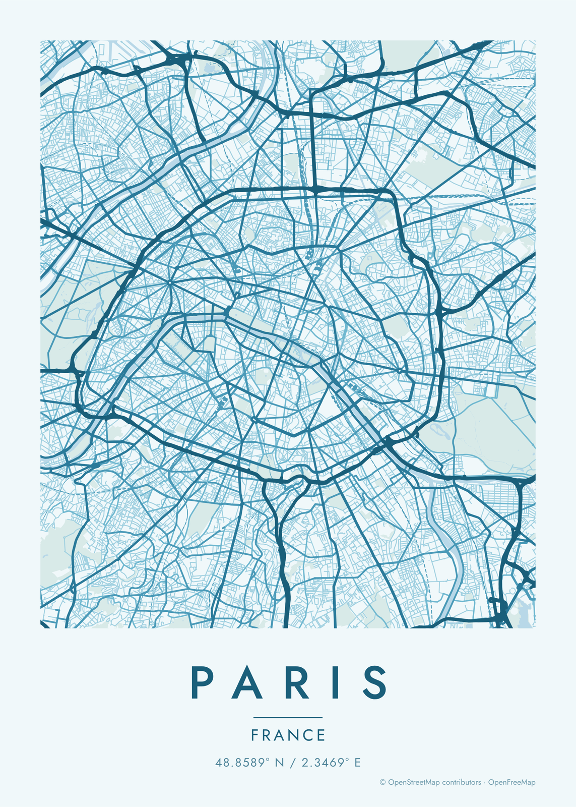 Paris map posterthe Seine and the boulevards, as art
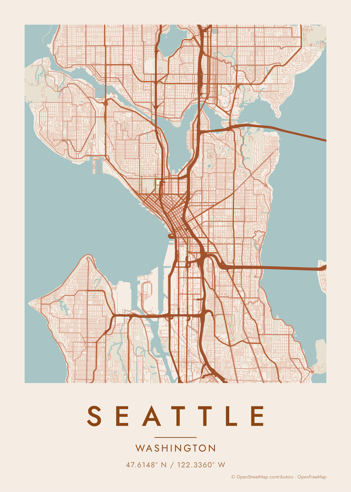 Seattle map posterthe streets between the sound and the lake, as art
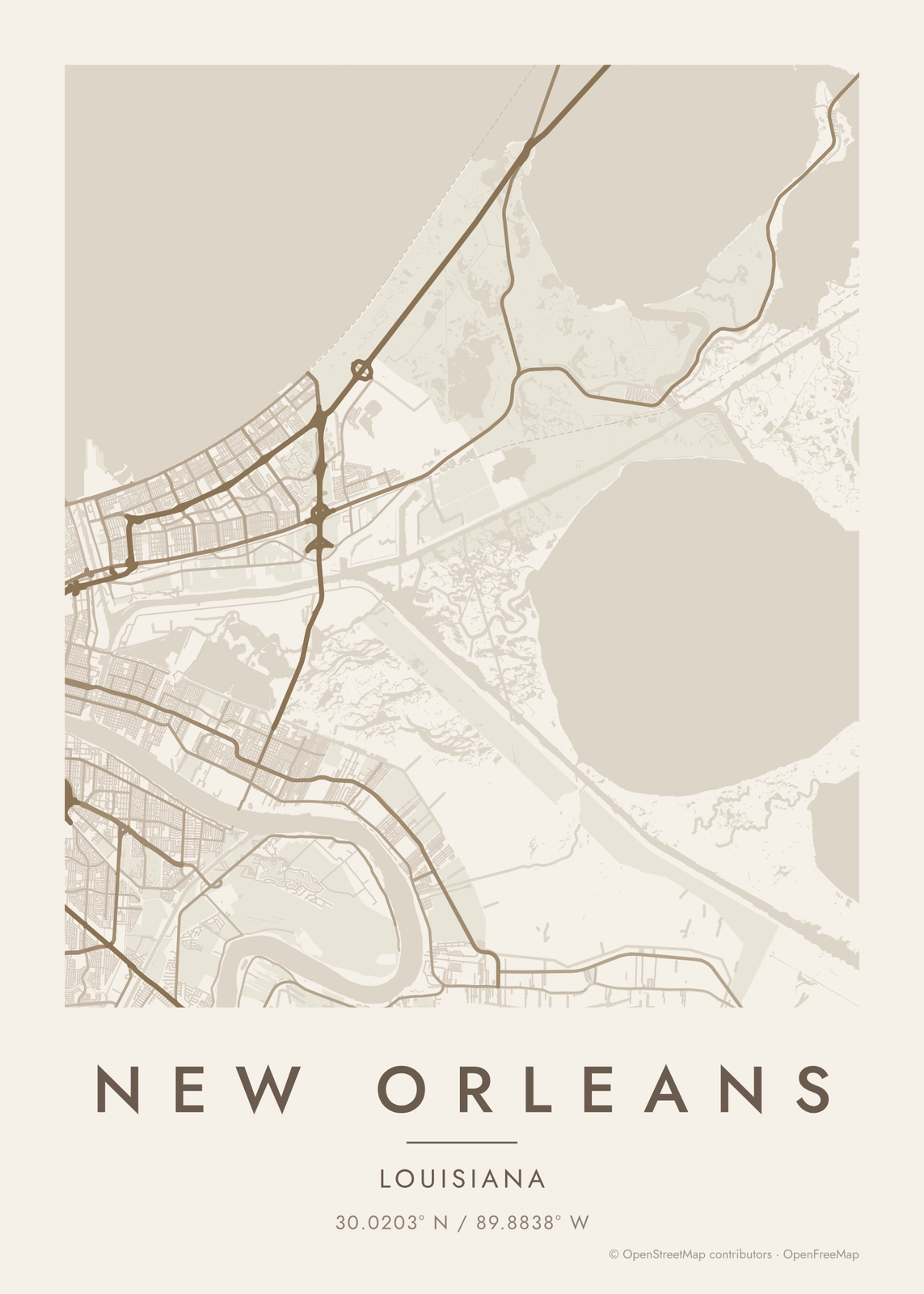 New Orleans map posterthe Crescent City's streets, as art
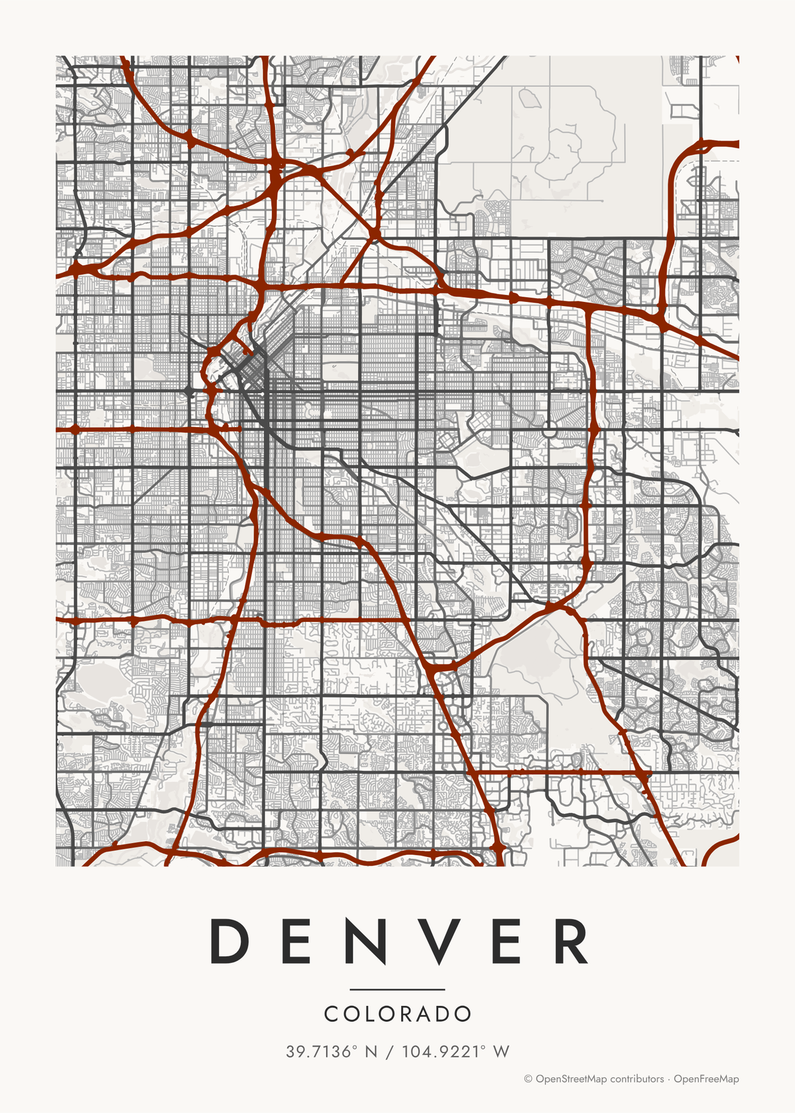 Denver map postertwo grids, a river and a creek, as art
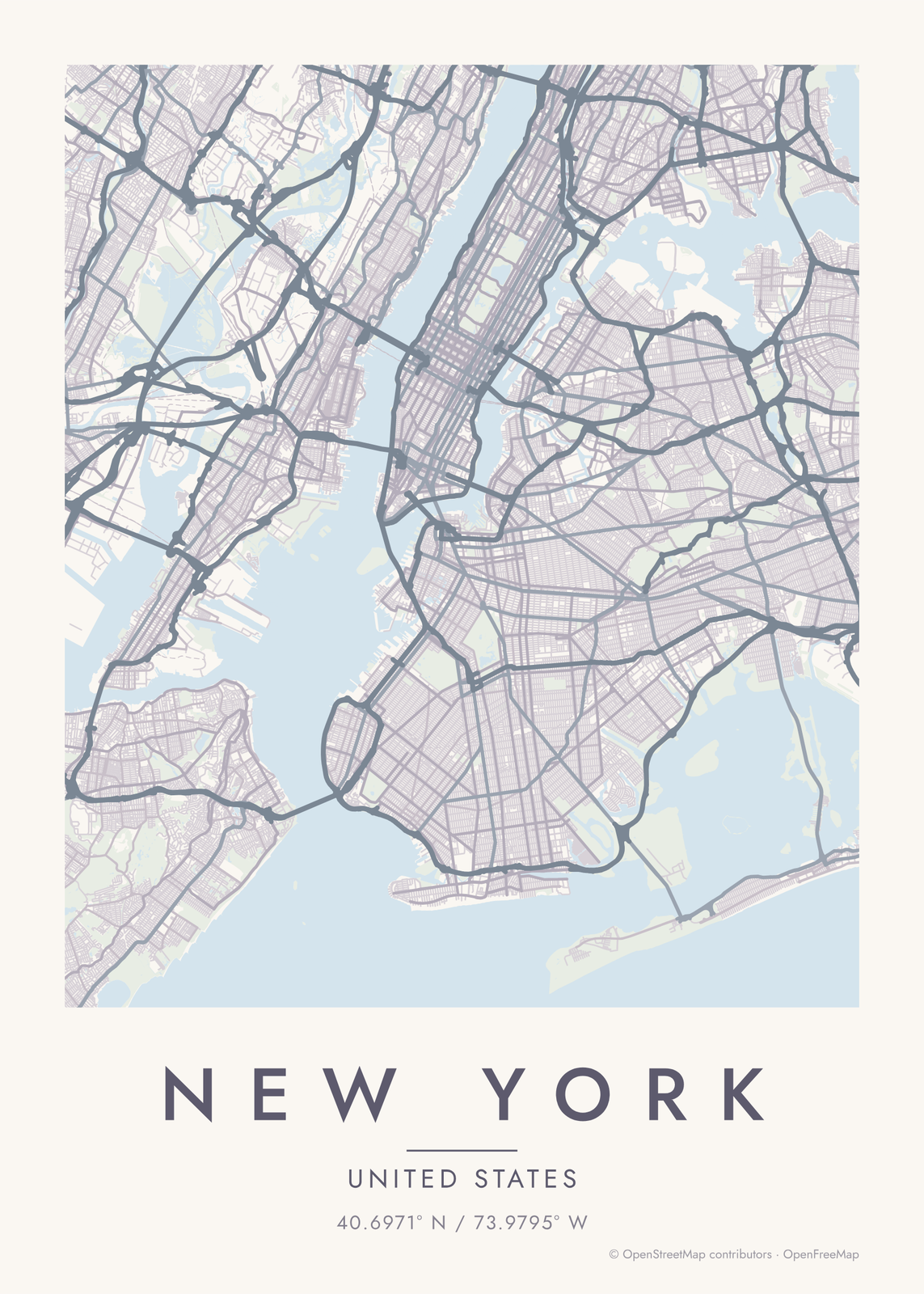 New York map posterthe grid, the park and the rivers, as art
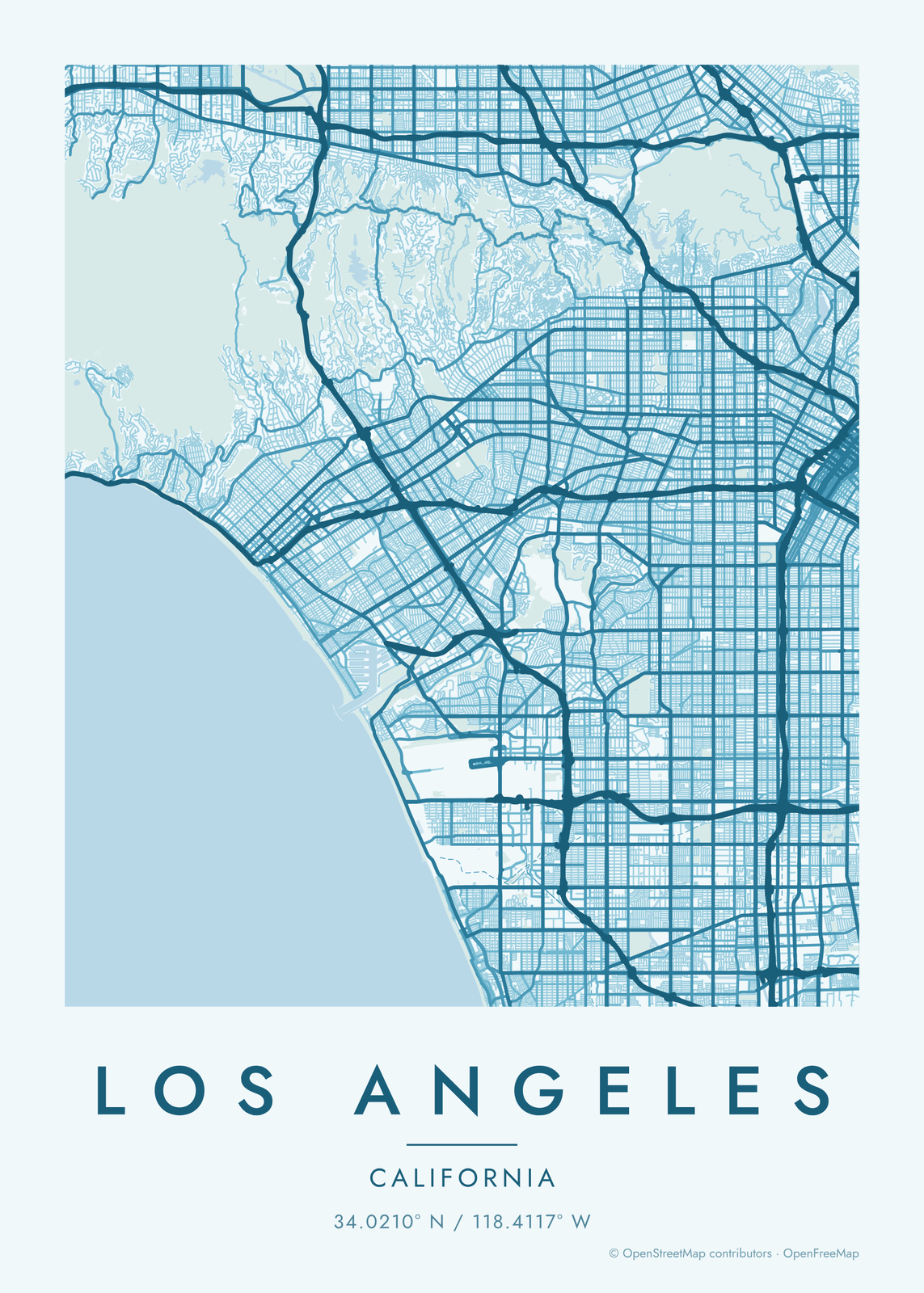 Los Angeles map posterthe grid, the freeways and the coast, as art
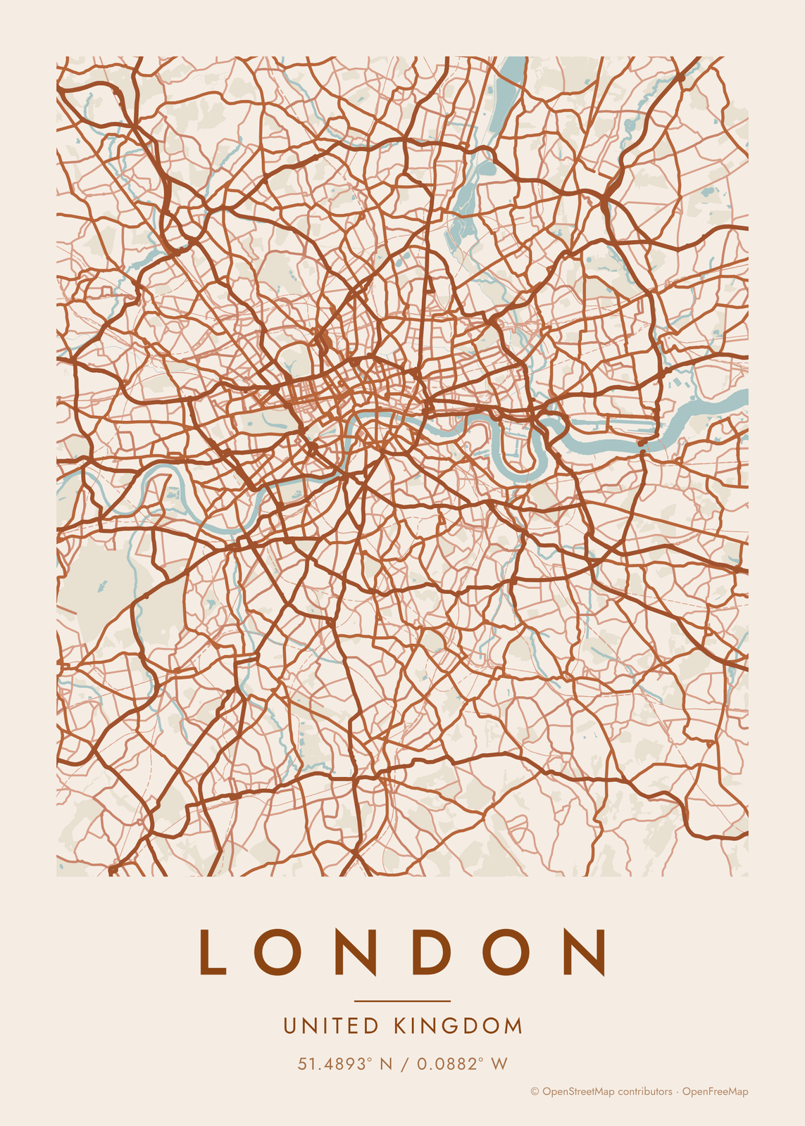 London map posterthe Thames, the parks and the villages that grew together
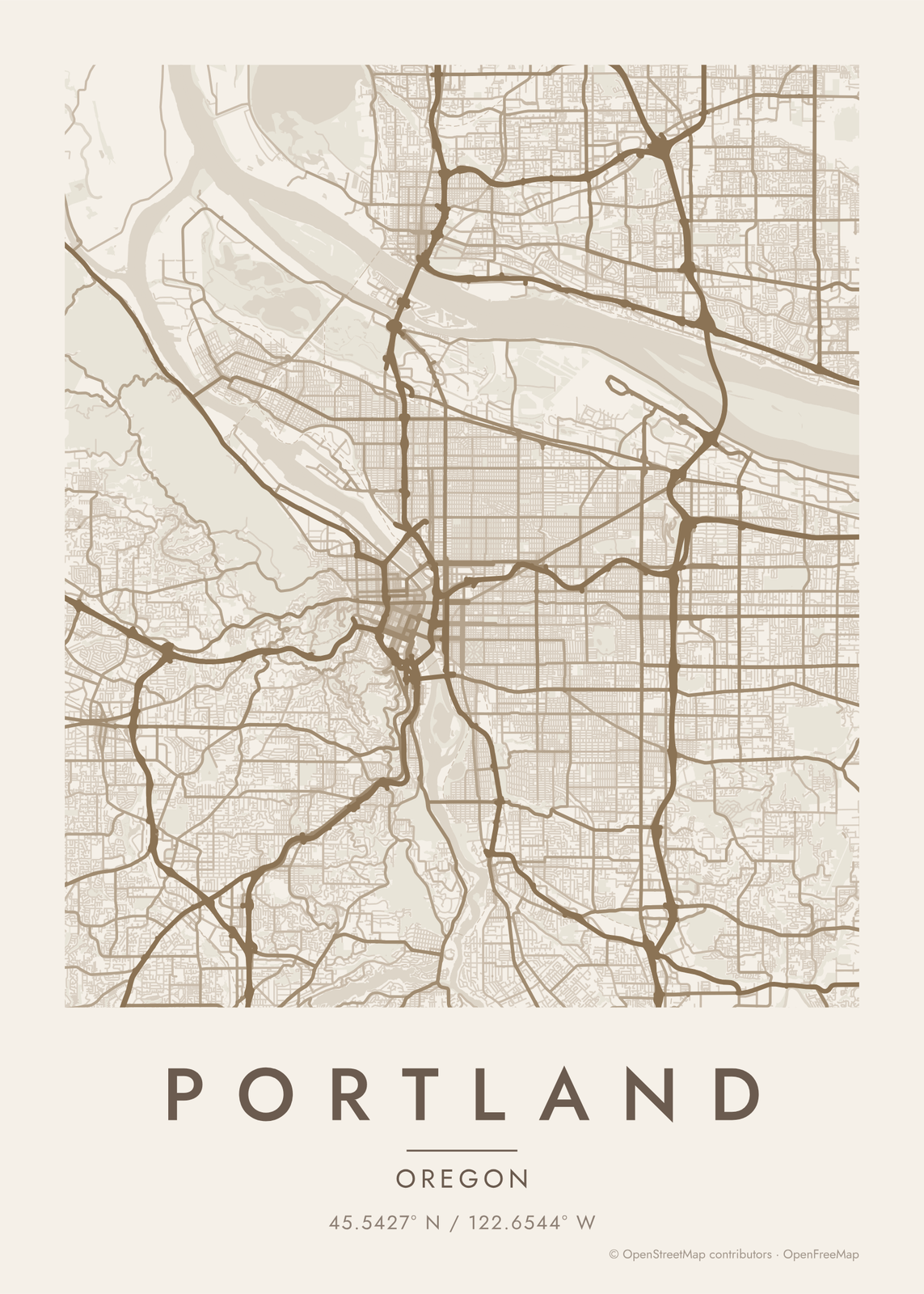 Portland map postertwo rivers, the bridges and the West Hills
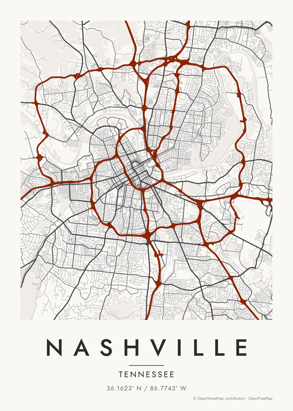 Nashville map posterthe river bends and the old pikes
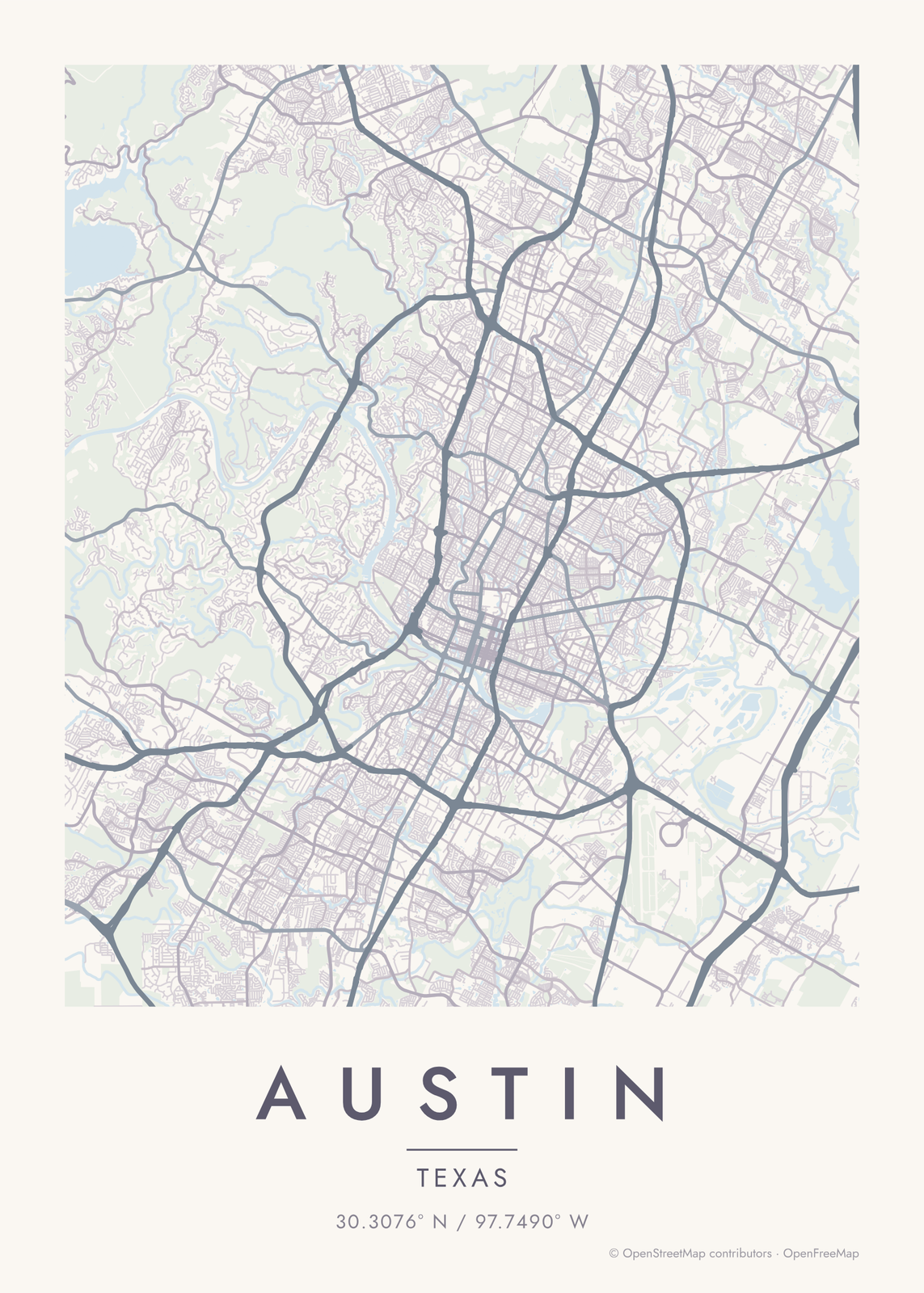 Austin map posterthe river, the grid and the hills to the west
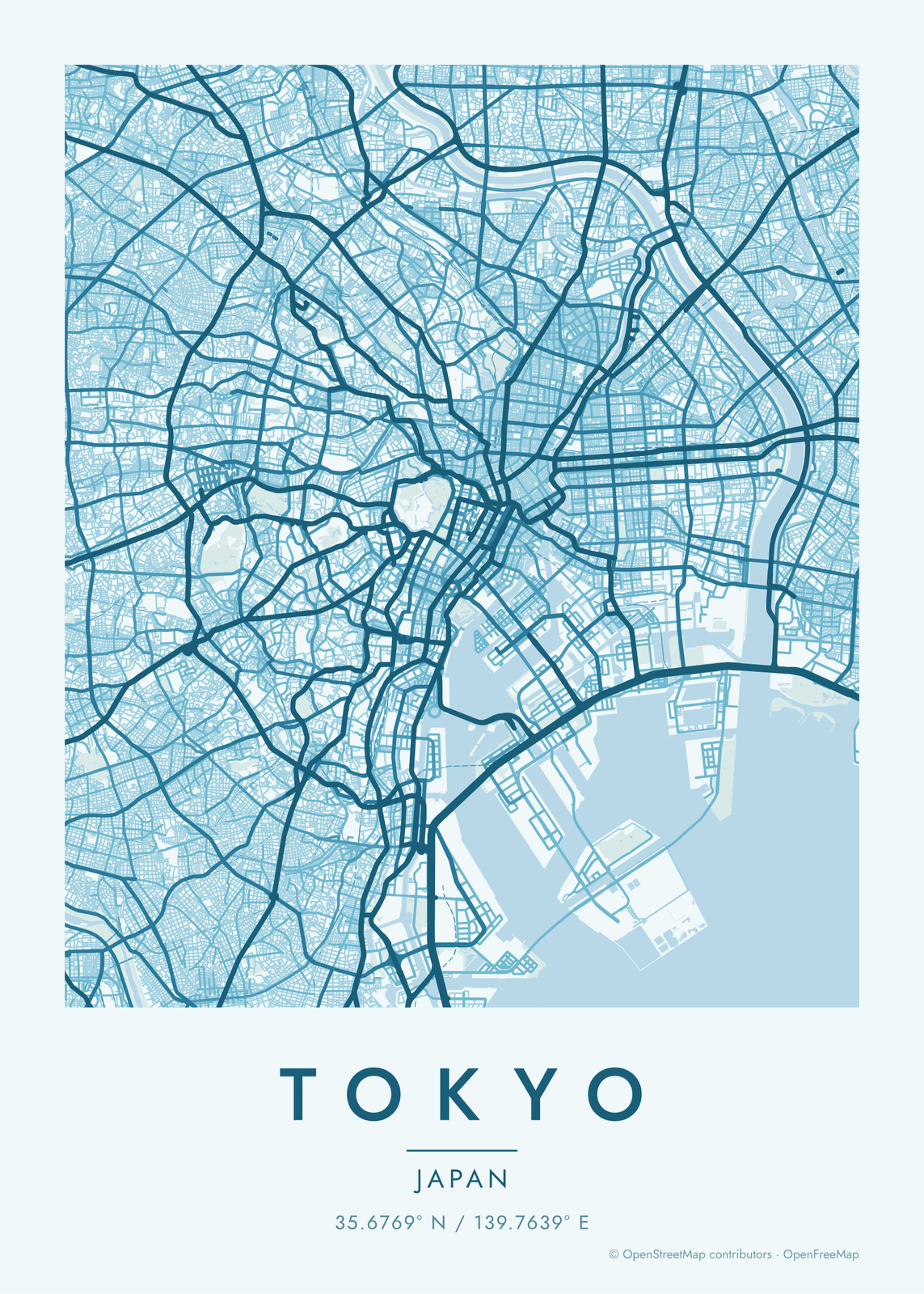 Tokyo map postera fine web of streets around the palace
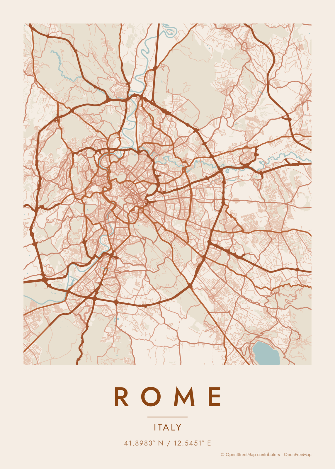 Rome map posterthe Tiber, the piazzas and the old center
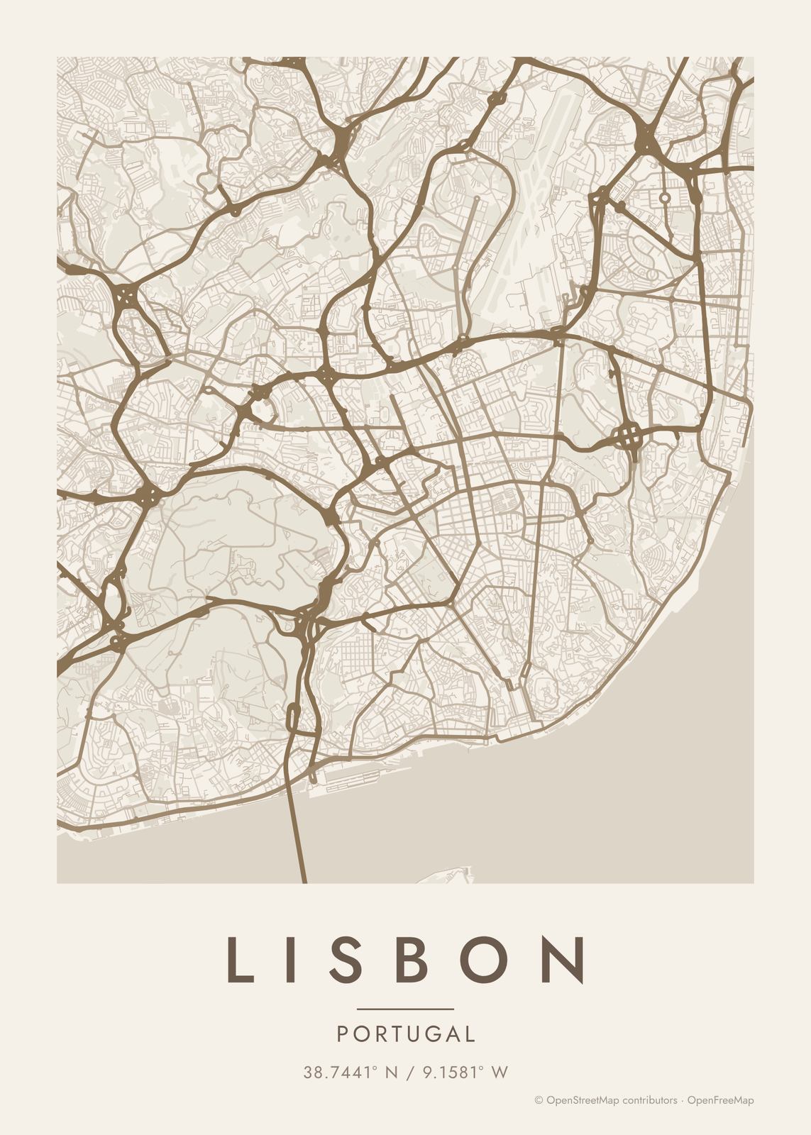 Lisbon map postersteep hills, a wide river and a grid rebuilt after 1755
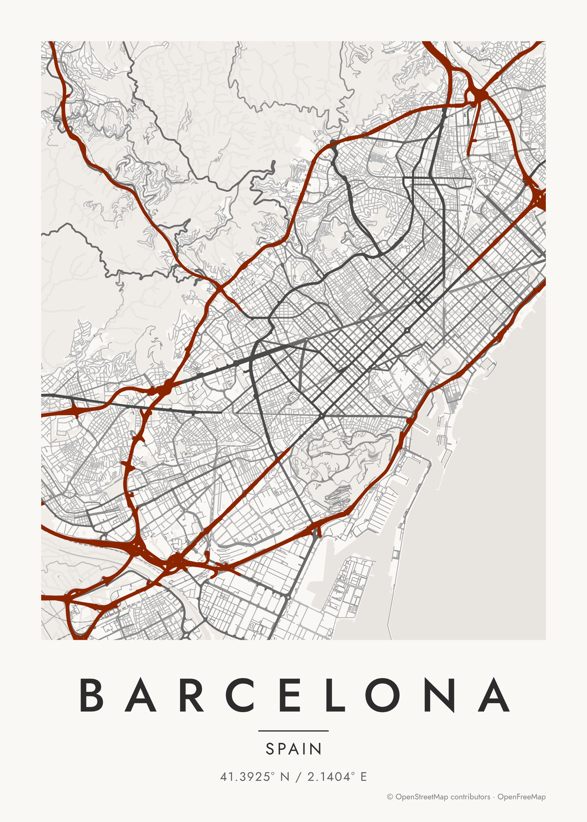 Barcelona map postera grid of cut-corner blocks between the hills and the sea
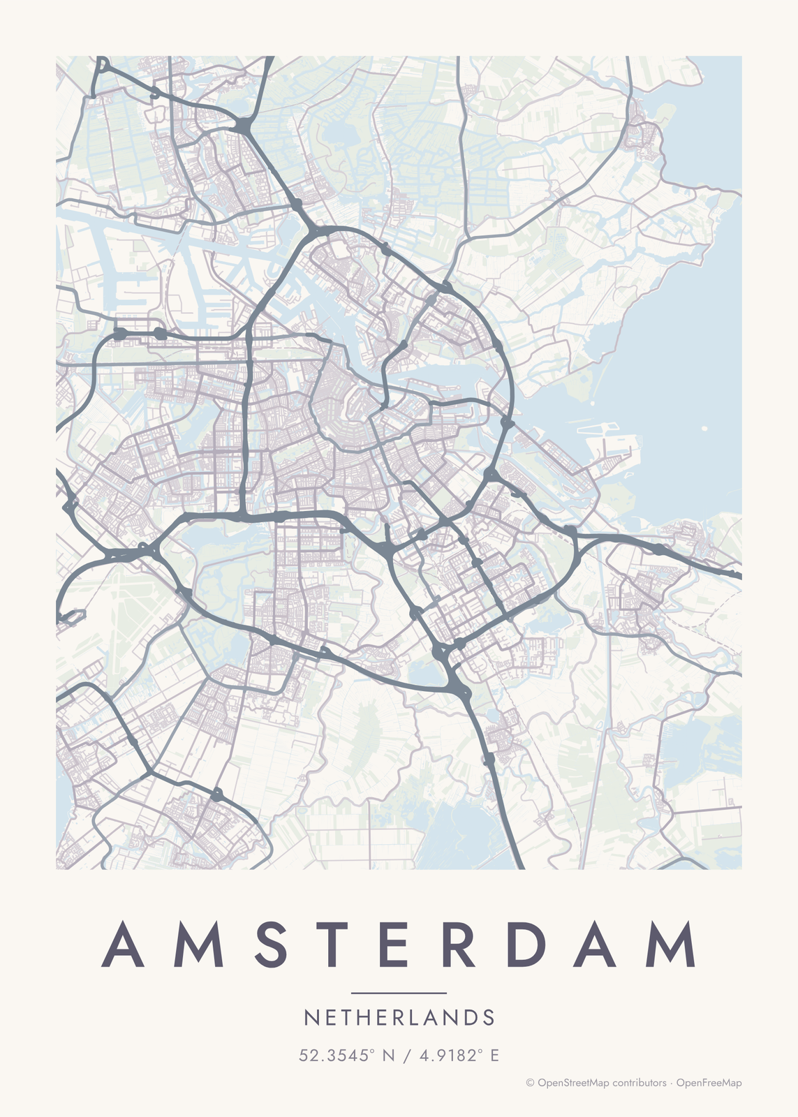 Amsterdam map posterthe canal rings, the IJ and everything in between
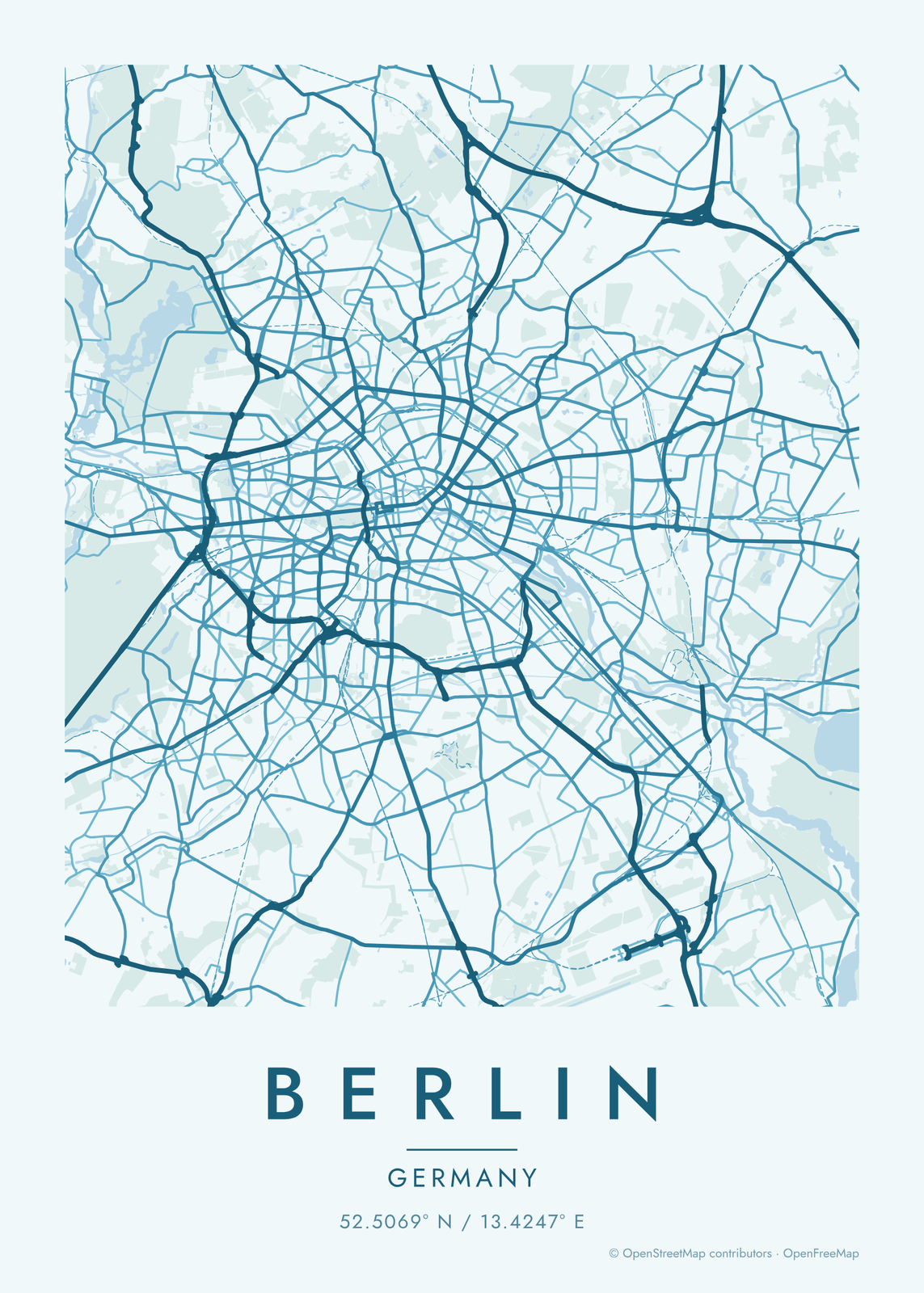 Berlin map posterthe Spree, the Tiergarten and the Ringbahn
On the wall
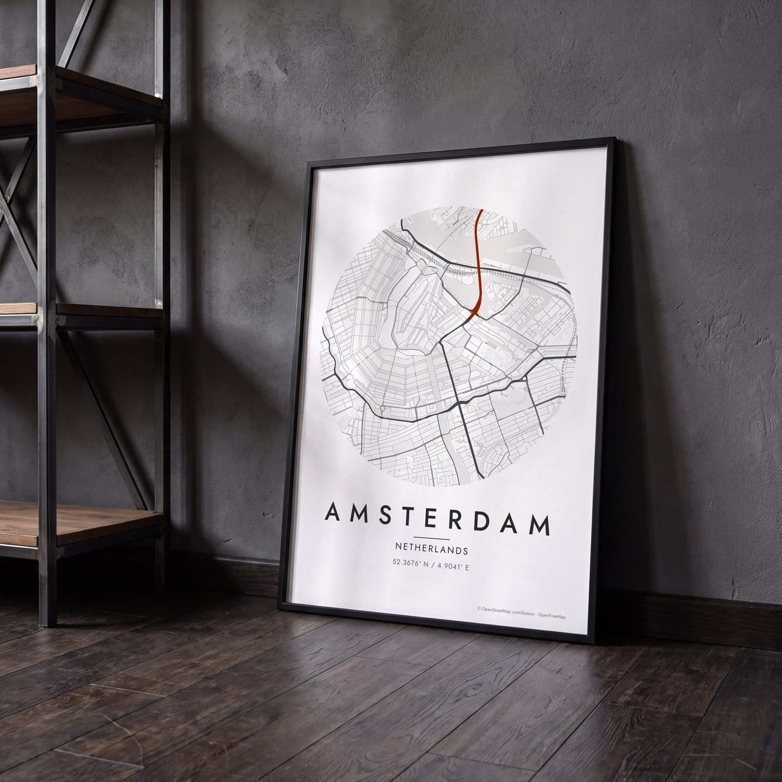
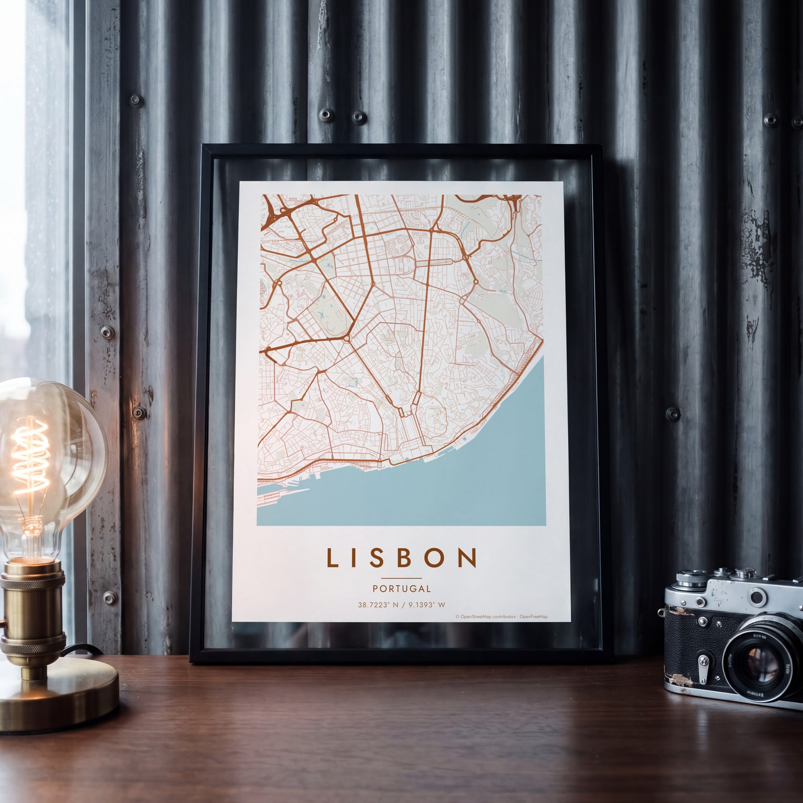
A few of them framed at home. Open any one to make it yours.
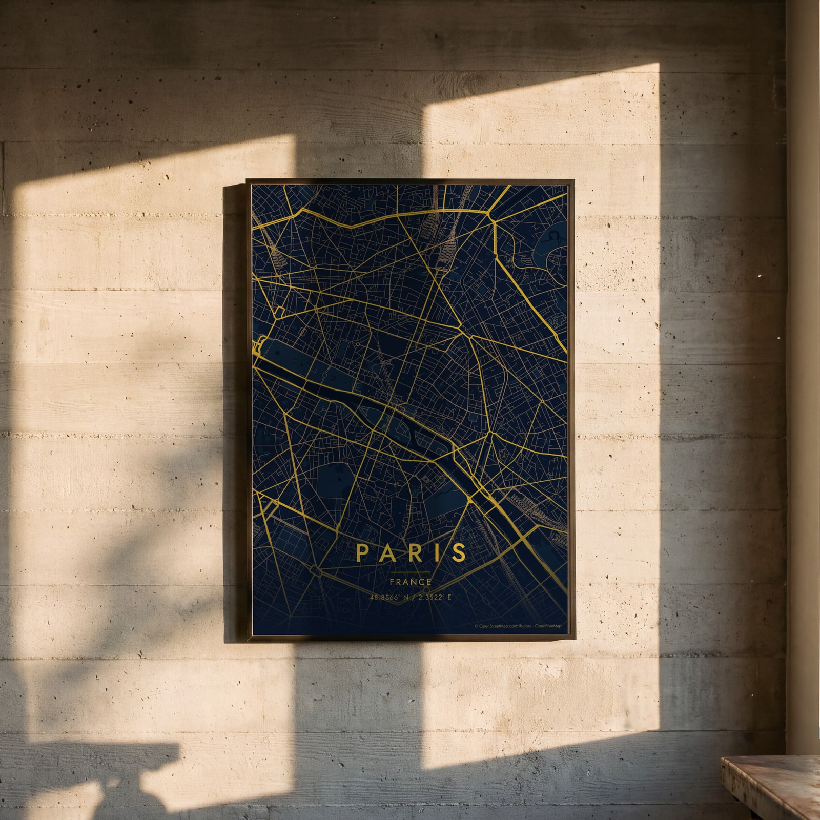
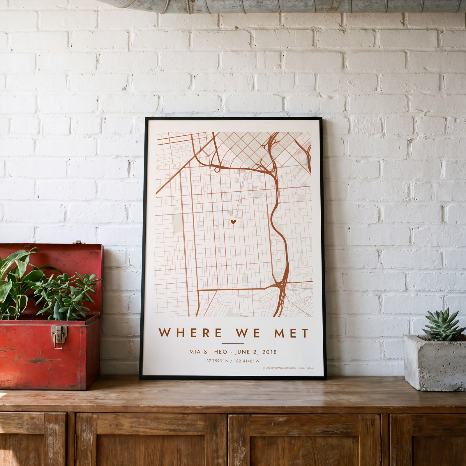
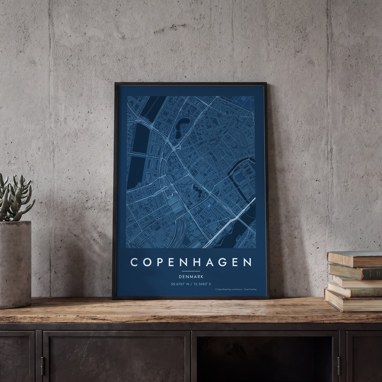
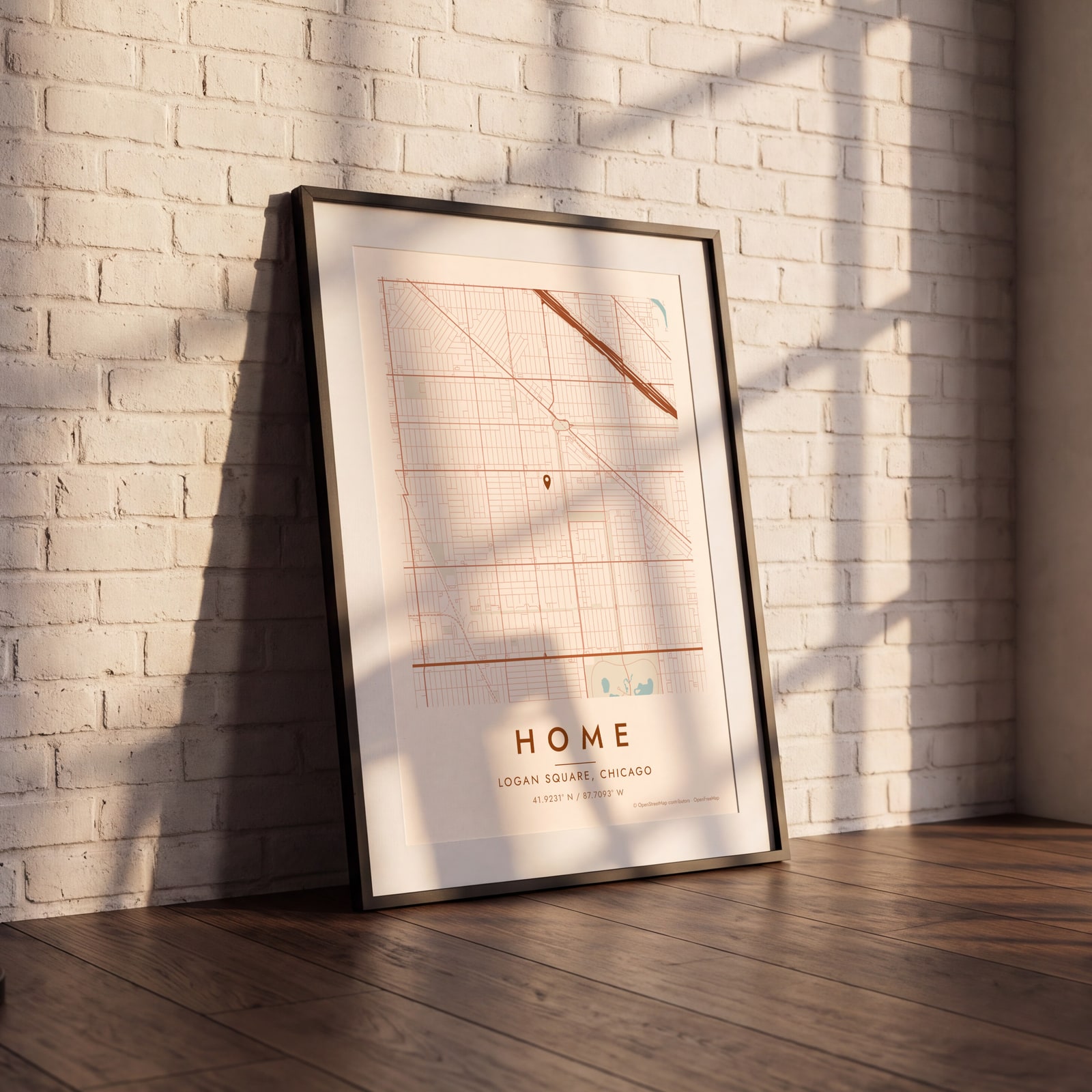
Examples
Open any of them to change the words, the place, the date and the style, then download the print file.
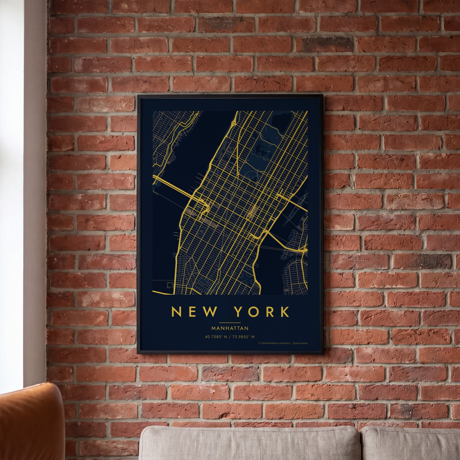
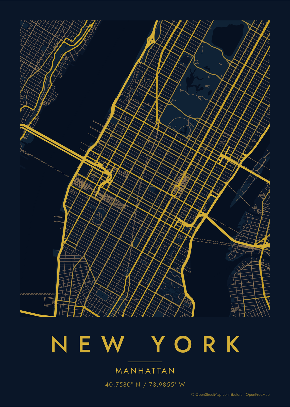 Midnight blue street map of Midtown ManhattanEdit this →
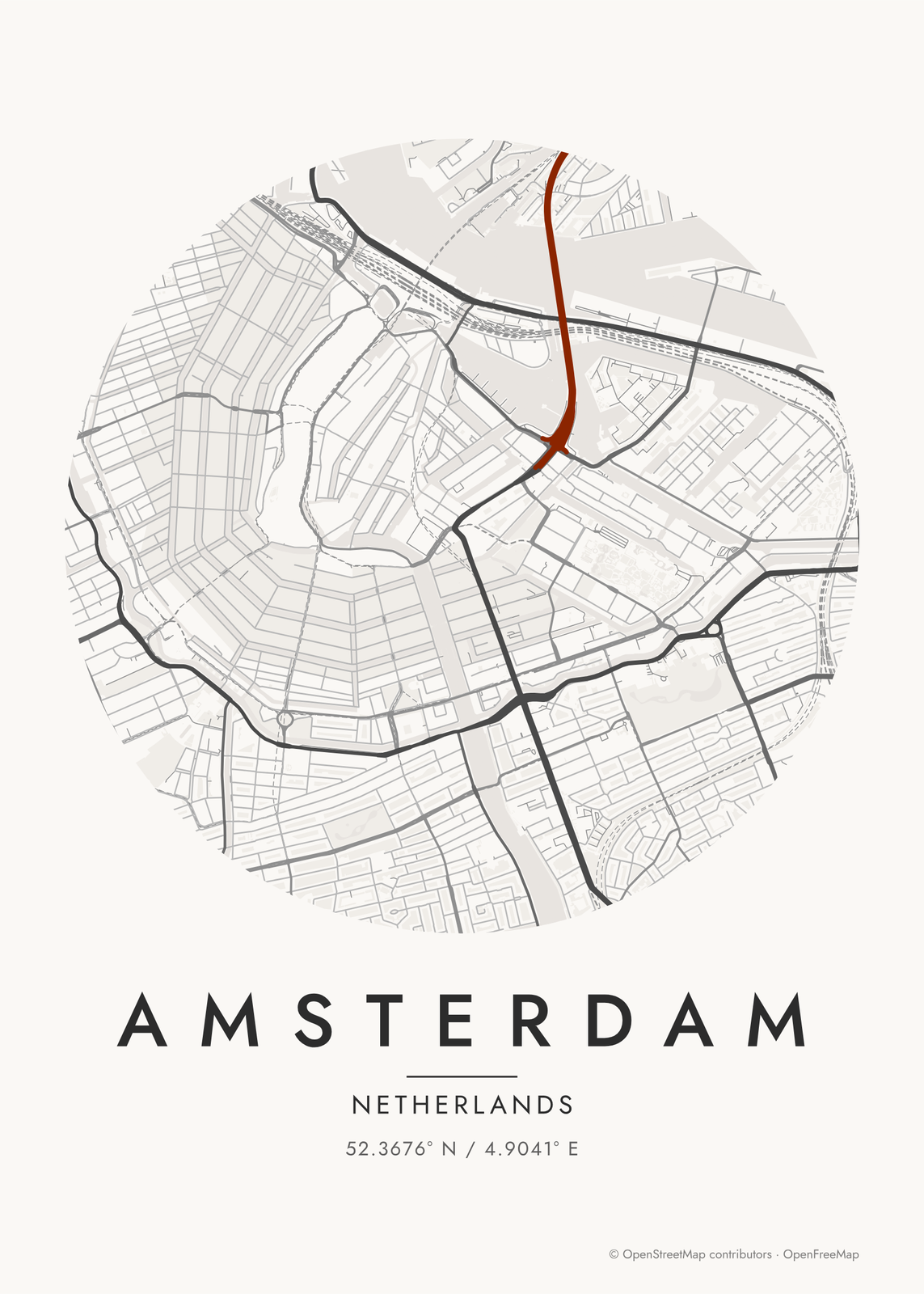 Round Japanese ink map of the Amsterdam canalsEdit this →
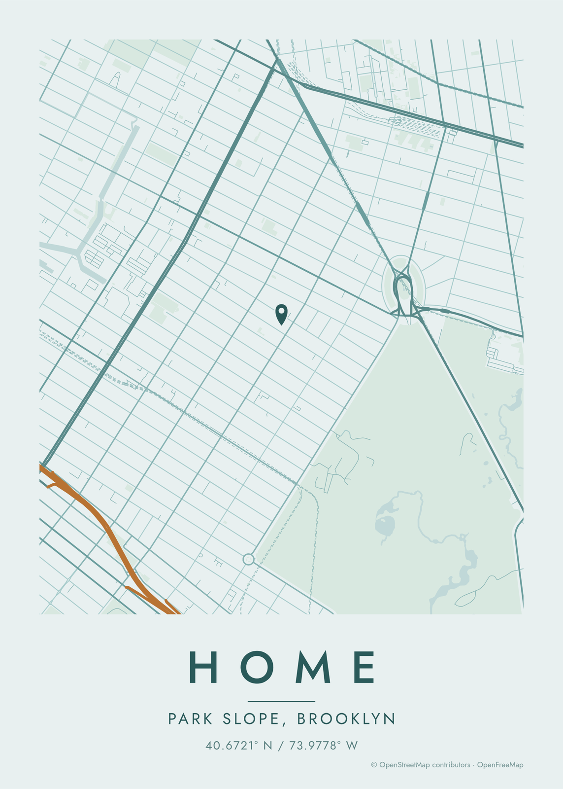
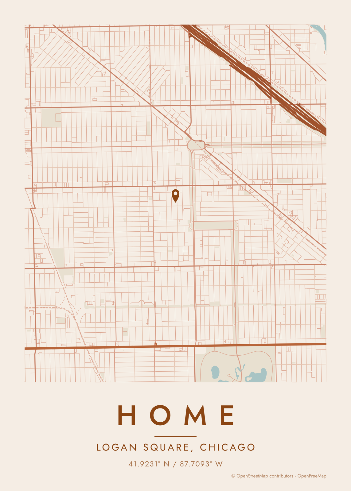 Terracotta hometown map of Logan Square, Chicago, with a pinEdit this →
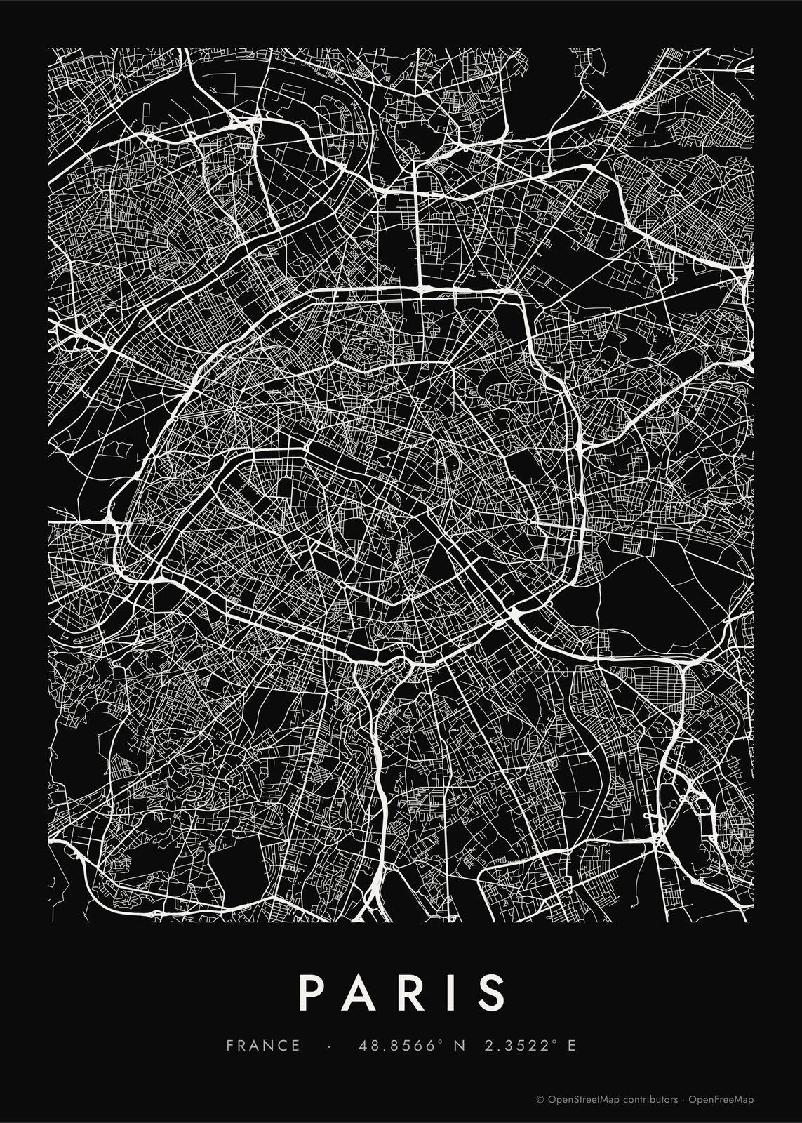 Every road of Paris in a single color, noir styleEdit this →More road map art →
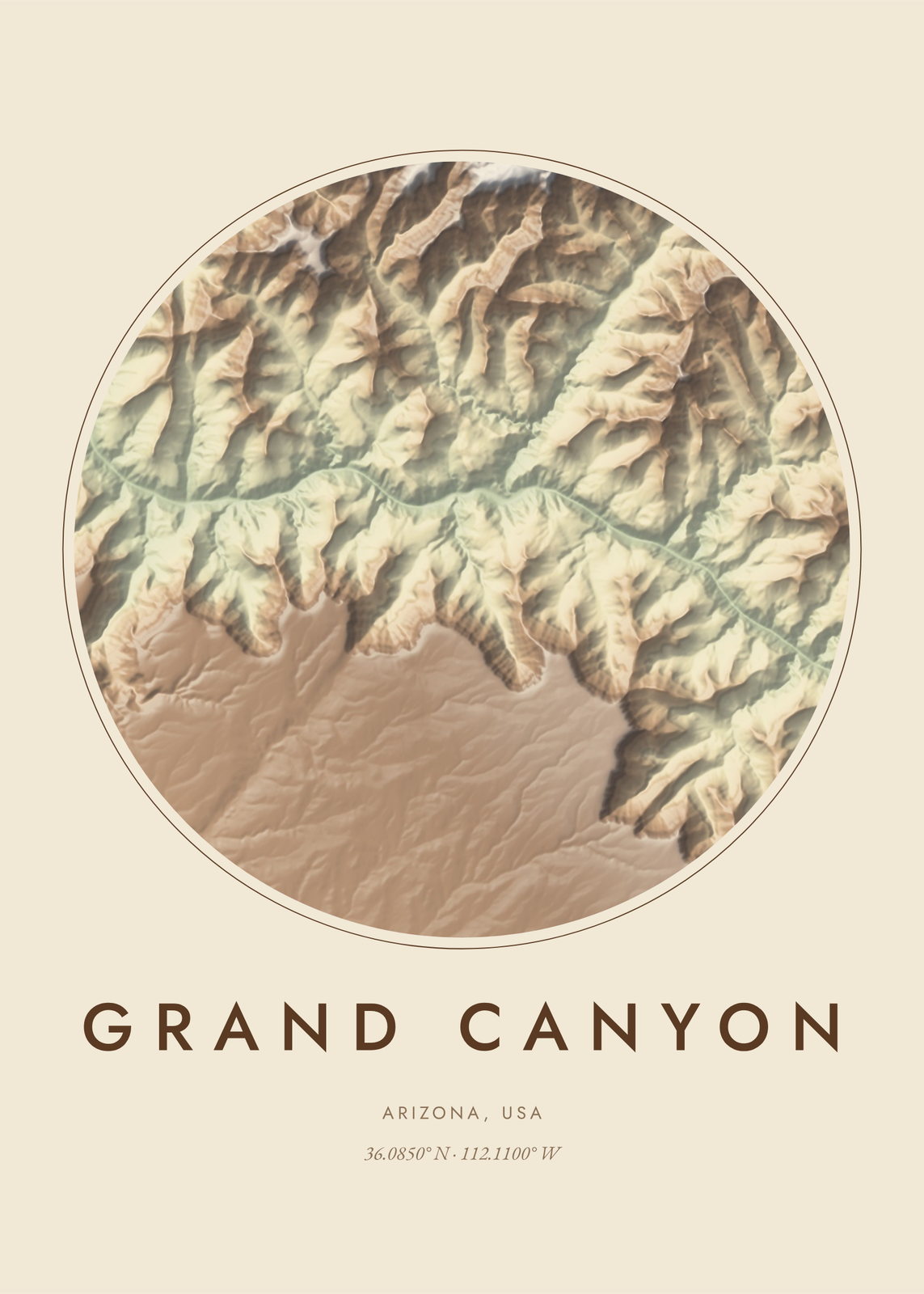 Shaded relief map of the Grand Canyon in earth tonesEdit this →More topographic map art →
Colors
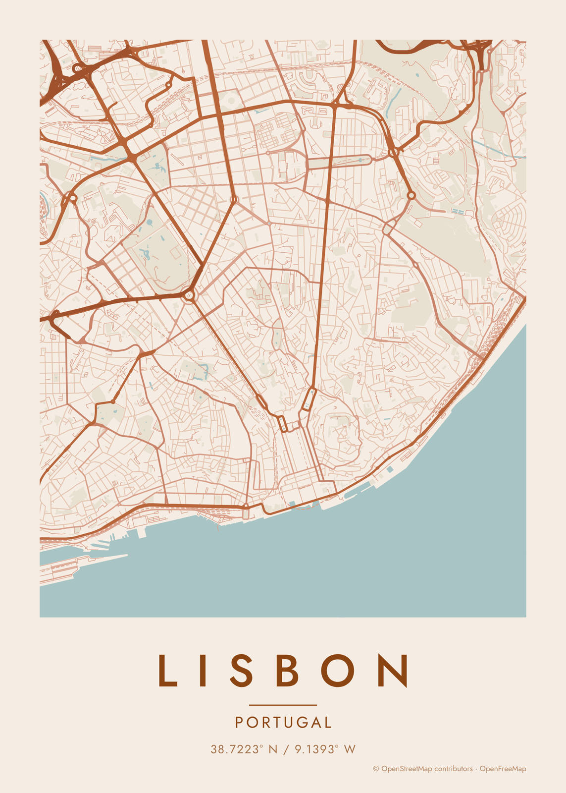 Terracotta map of LisbonEdit this →
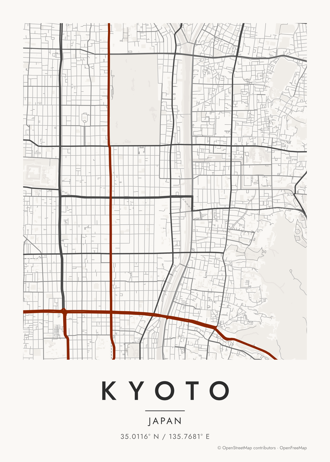 Japanese ink map of KyotoEdit this →
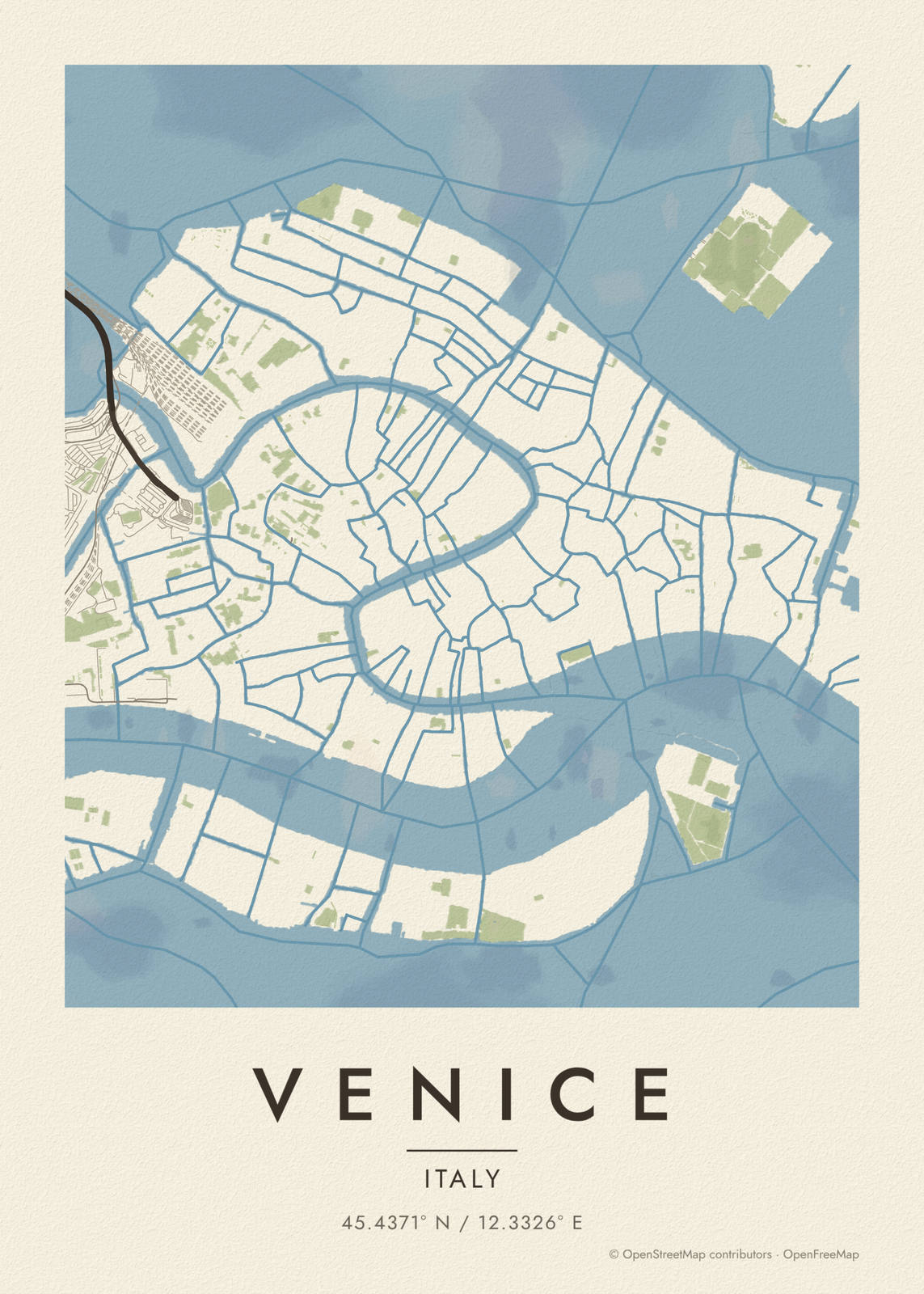 Watercolor map of VeniceEdit this →
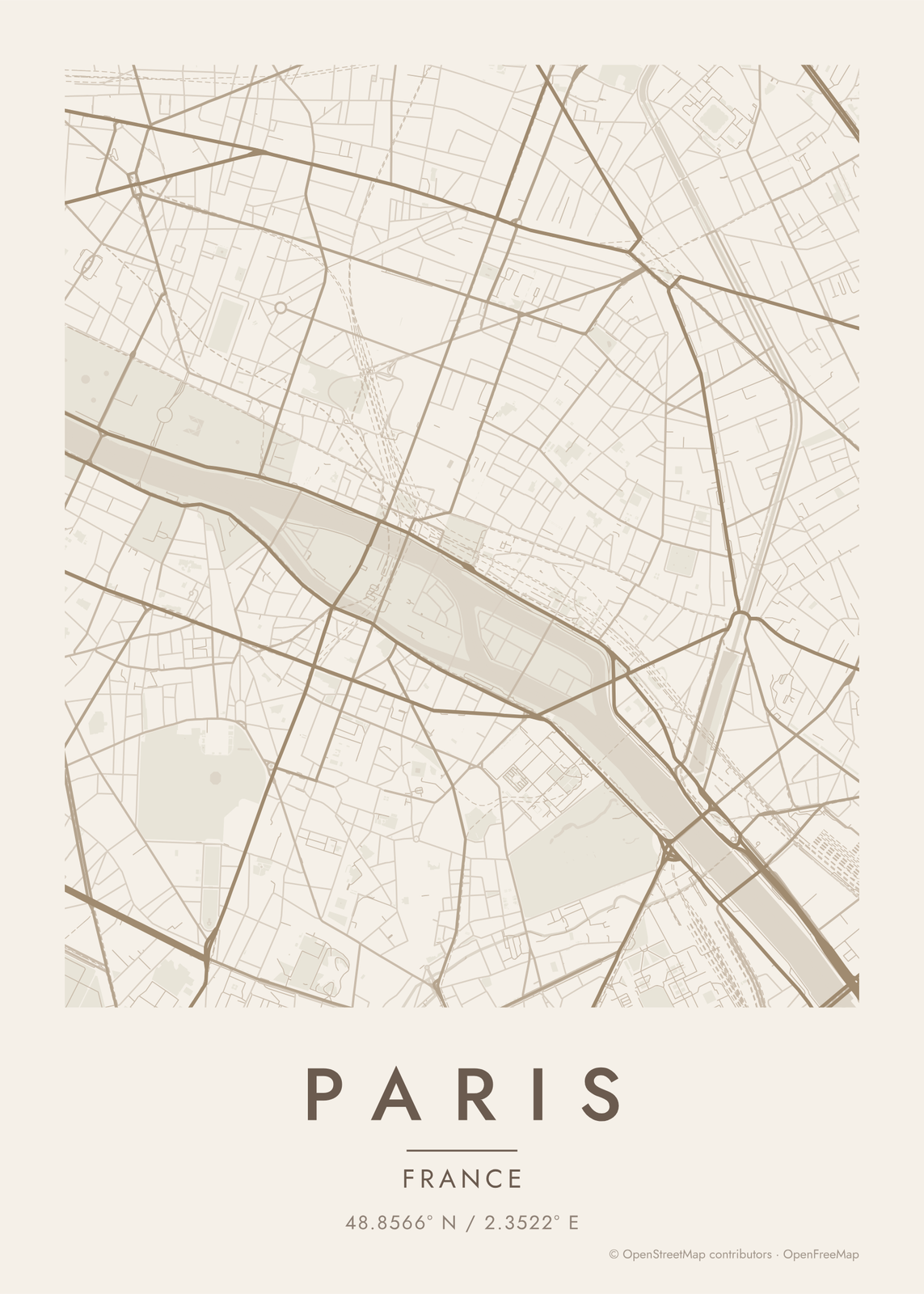 Warm beige map of ParisEdit this →
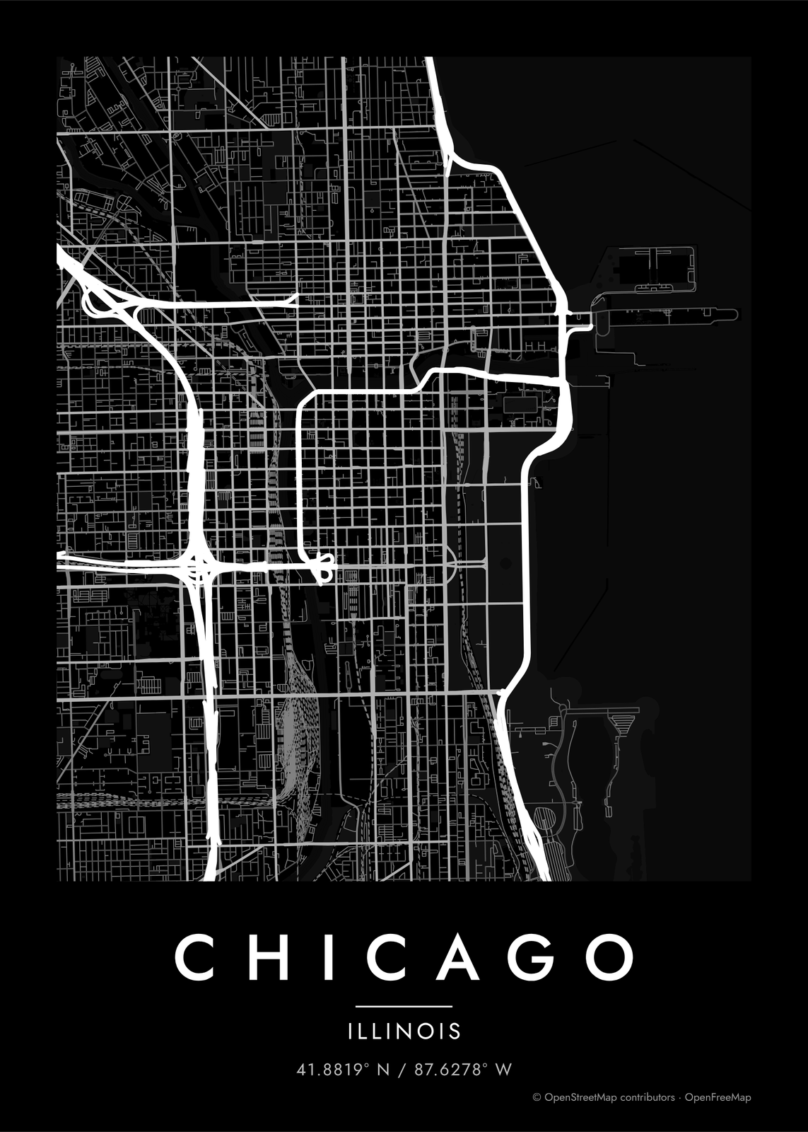 Noir map of Chicago's LoopEdit this →
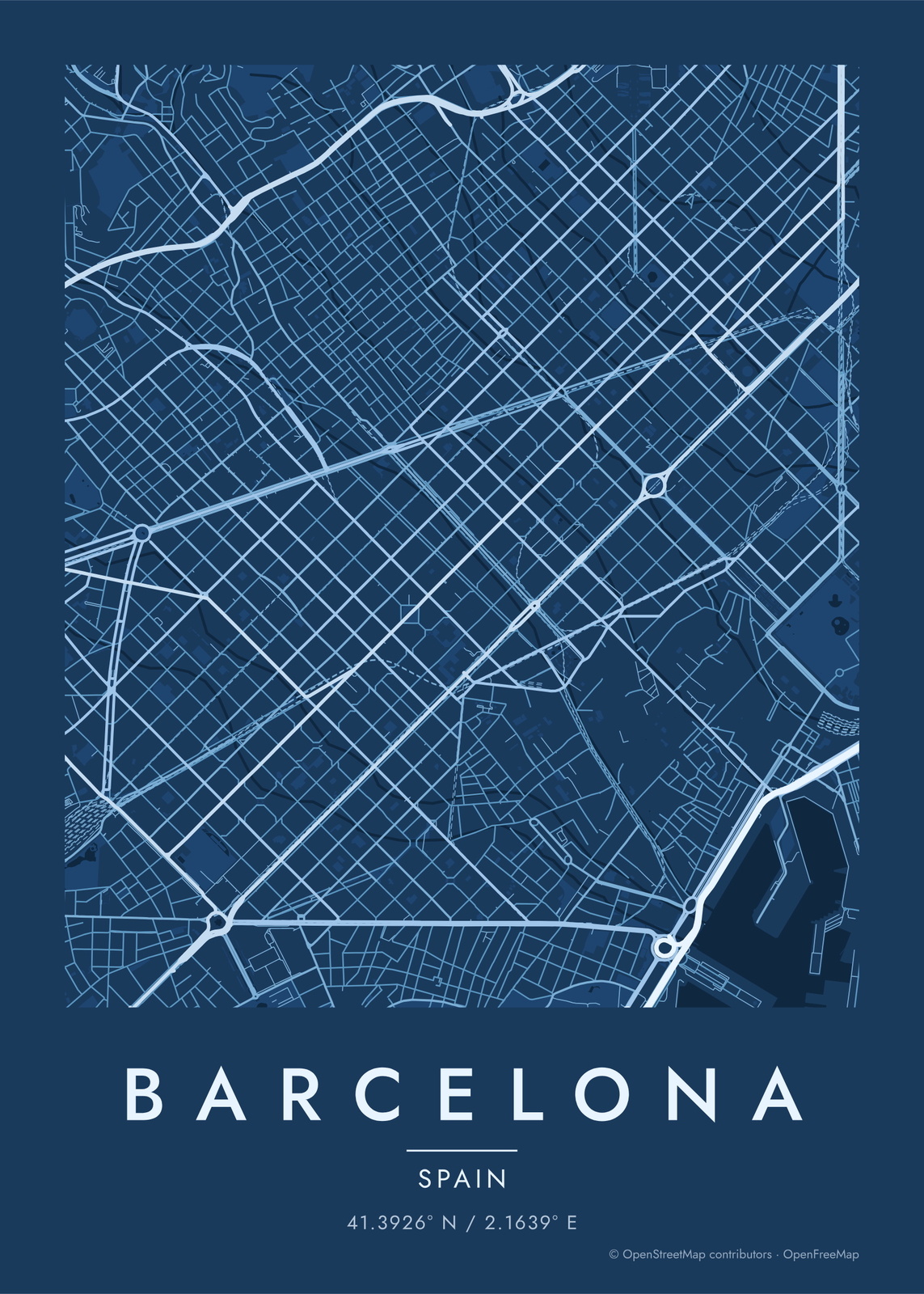 Blueprint map of Barcelona's gridEdit this →
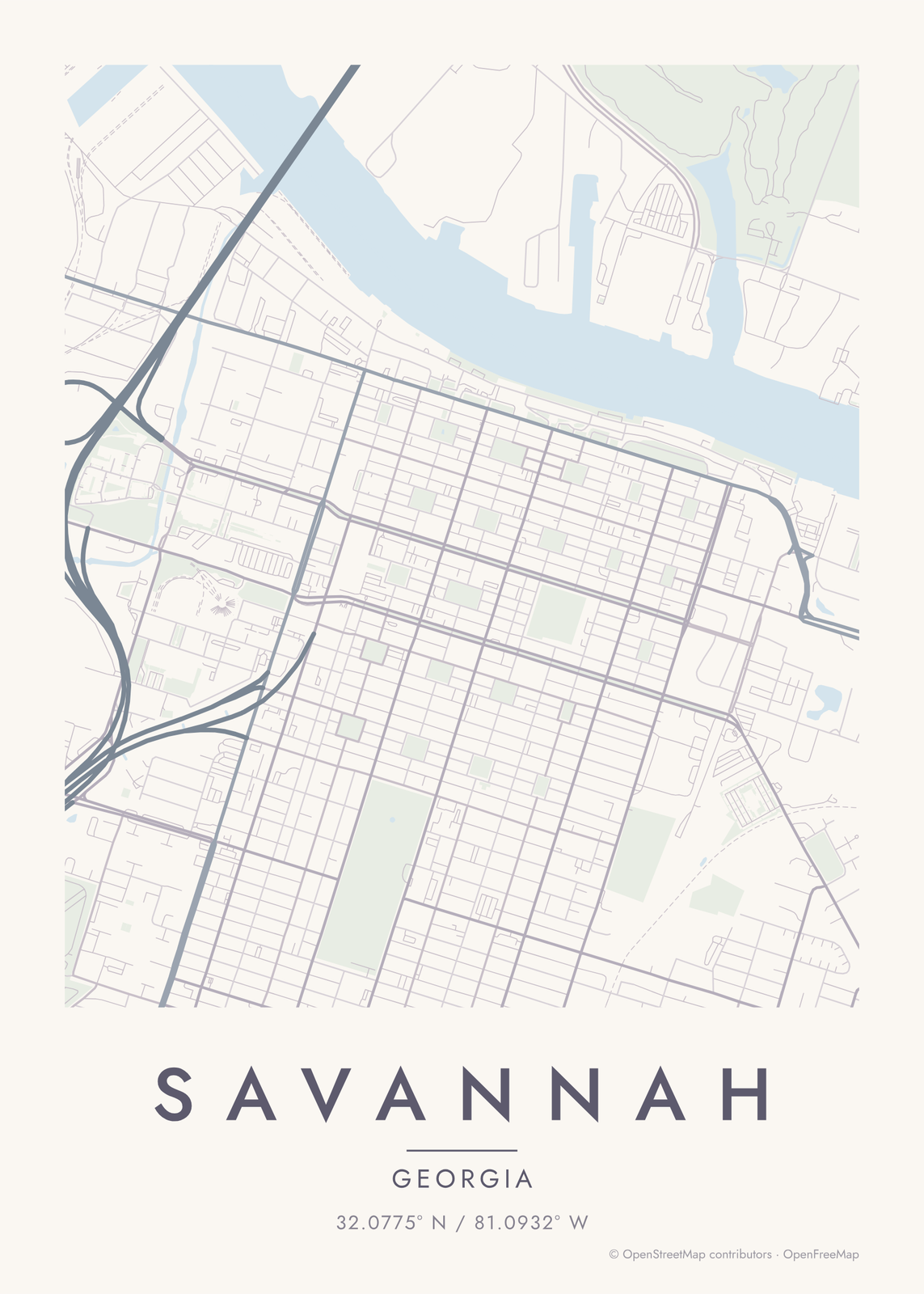 Pastel map of Savannah's squaresEdit this →
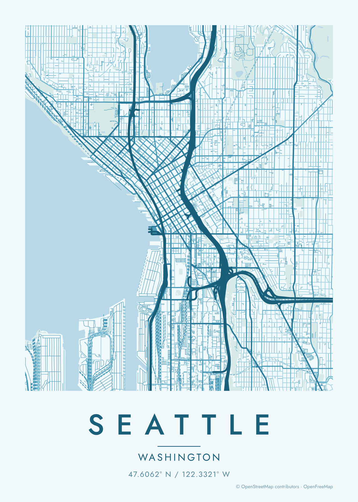 Ocean blue map of SeattleEdit this →
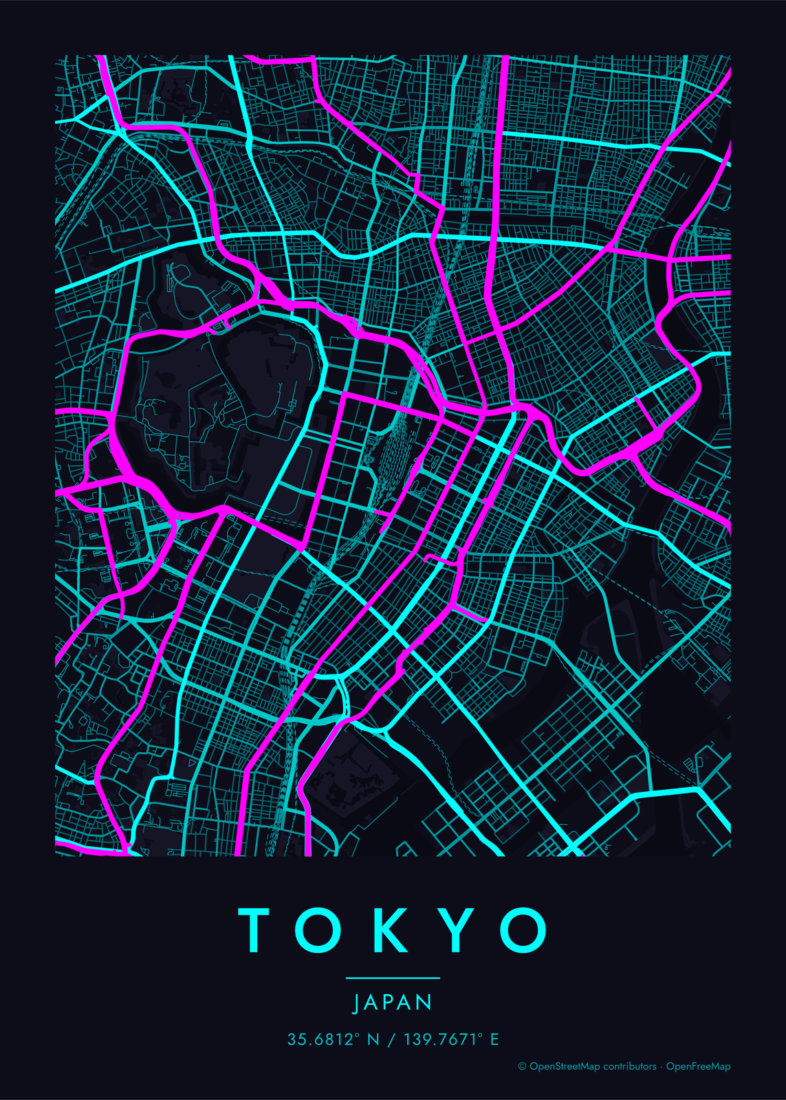 Neon cyberpunk TokyoEdit this →
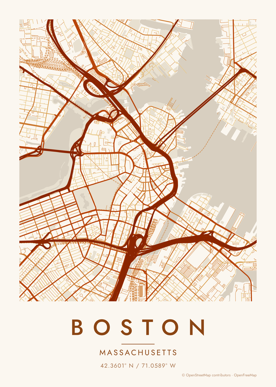 Autumn map of BostonEdit this →
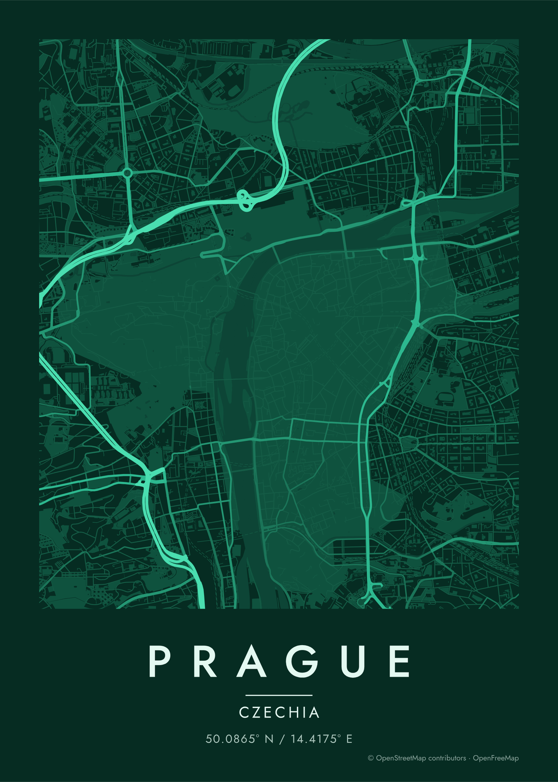 Emerald map of PragueEdit this →
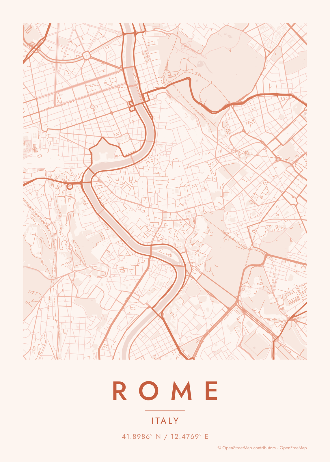 Sunset map of RomeEdit this →
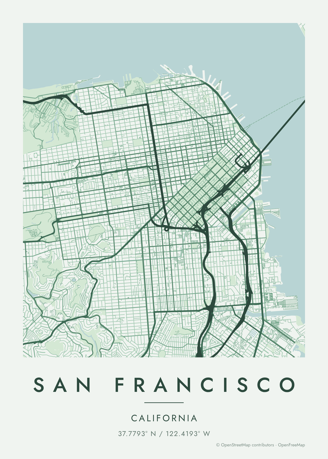 Forest green map of San FranciscoEdit this →
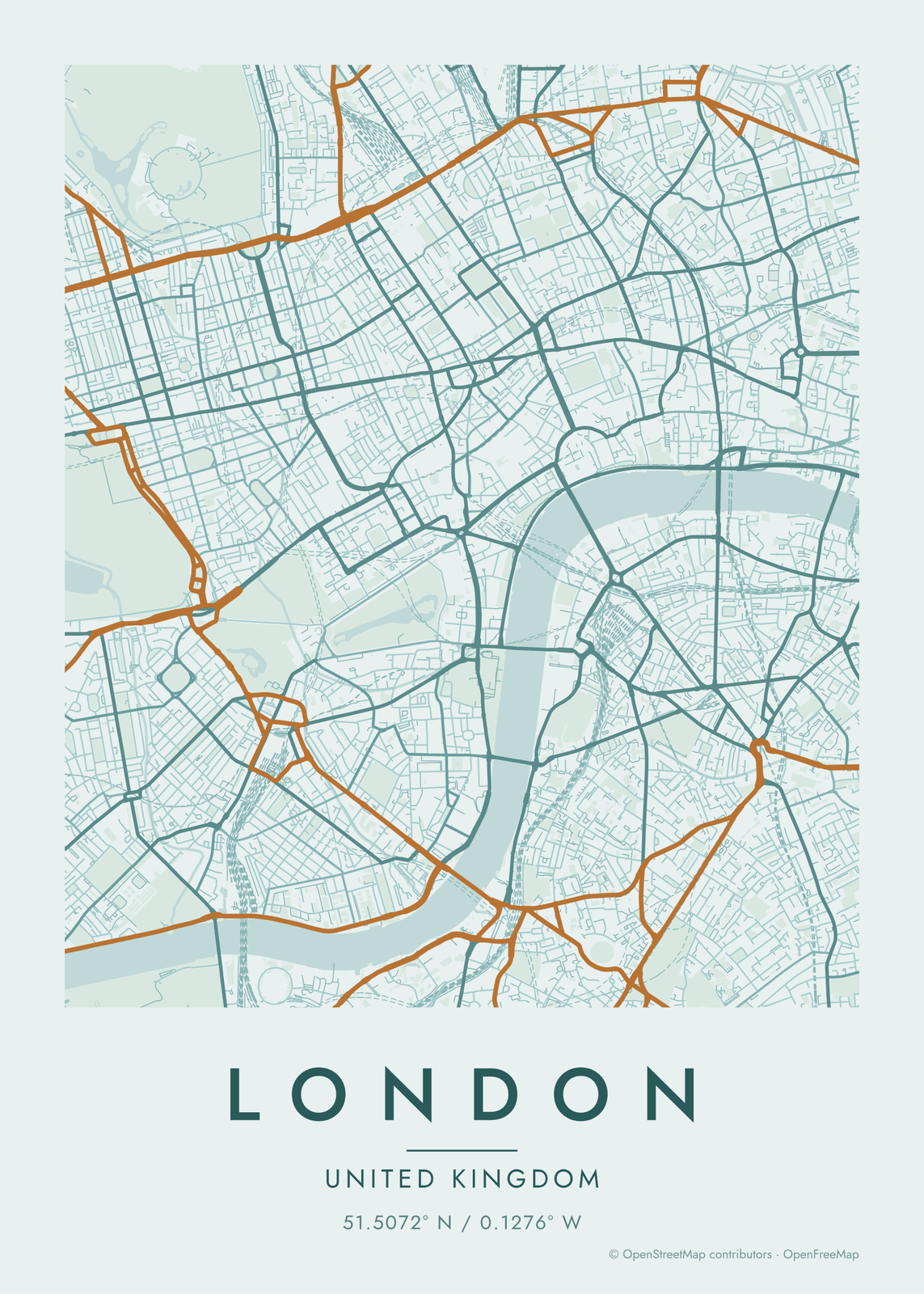 Copper patina map of LondonEdit this →
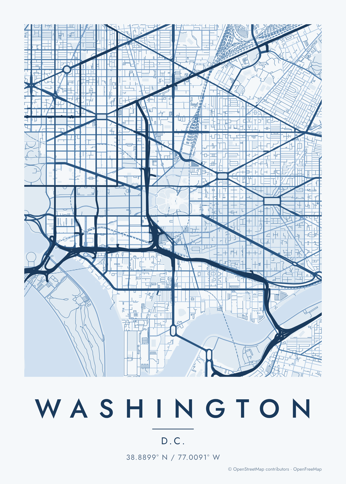 Monochrome blue Washington, D.C.Edit this →
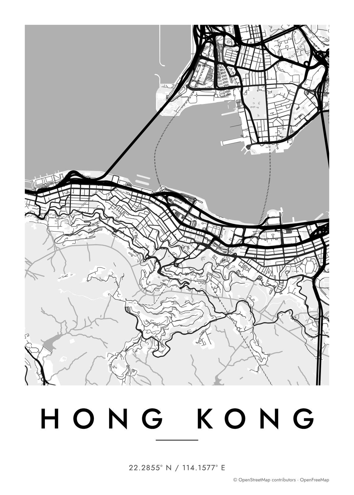 Contrast zones map of Hong KongEdit this →
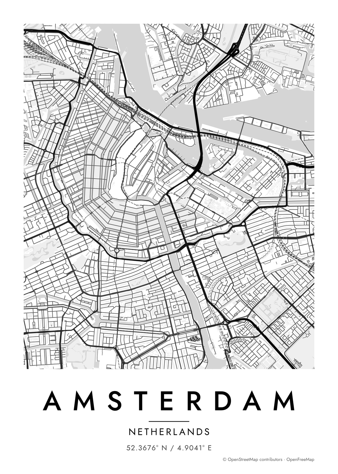 Gradient roads map of AmsterdamEdit this →
Shapes
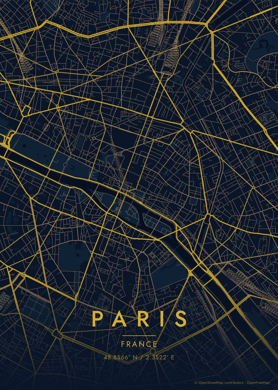
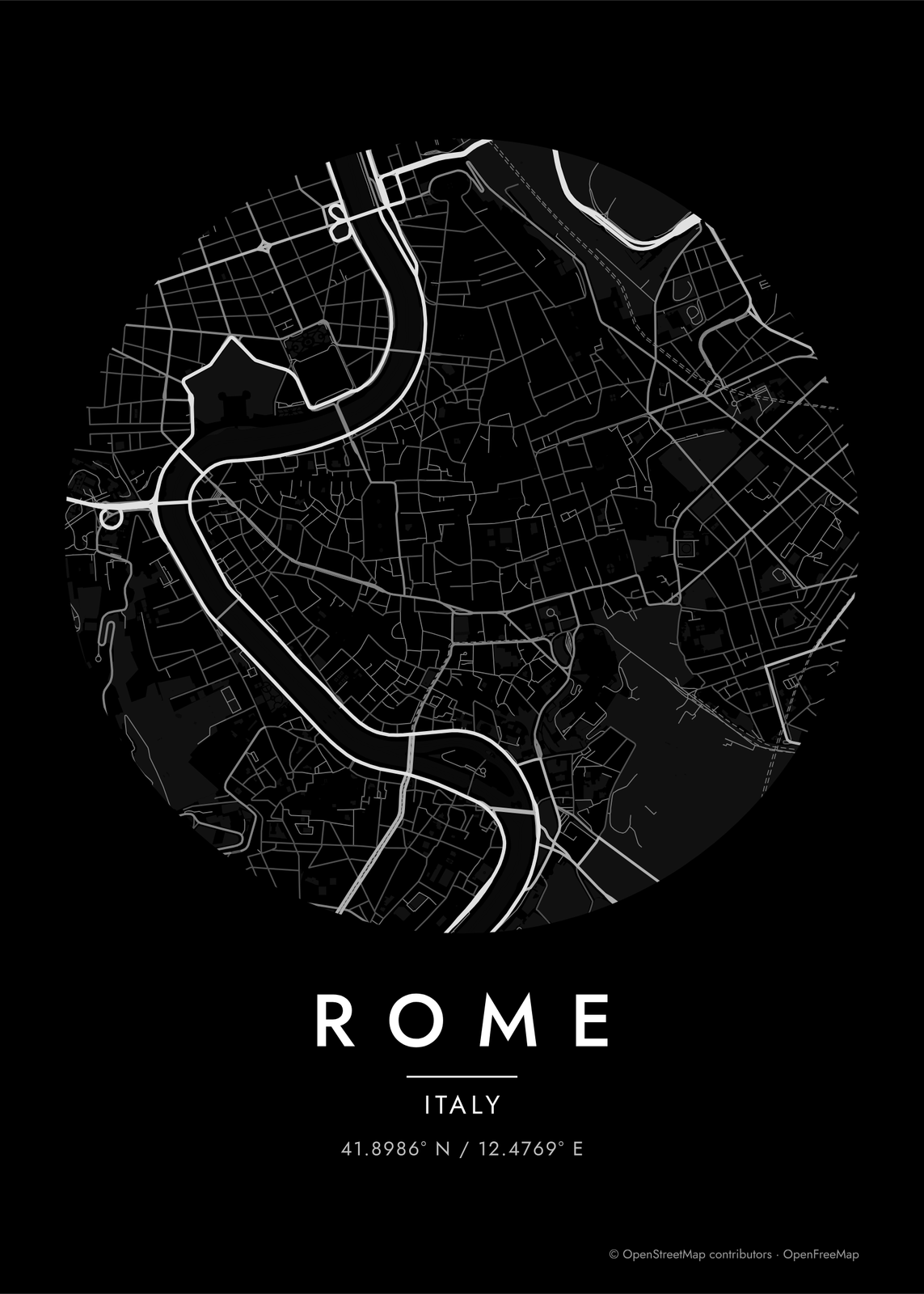
On the spot
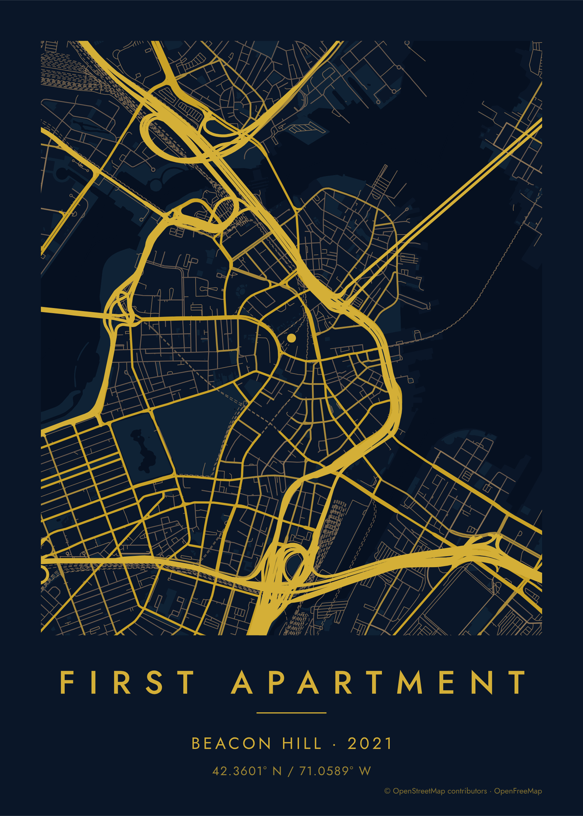
Map details
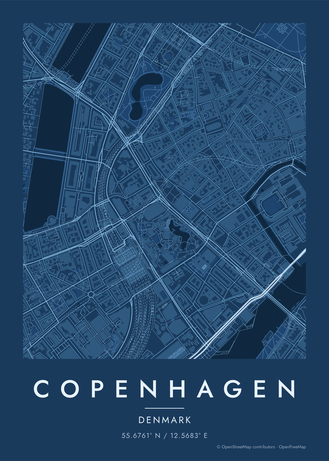
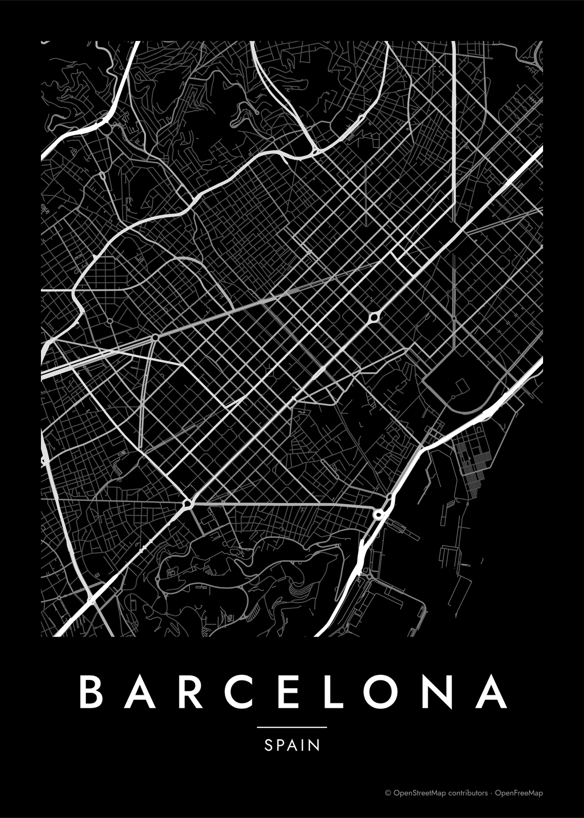
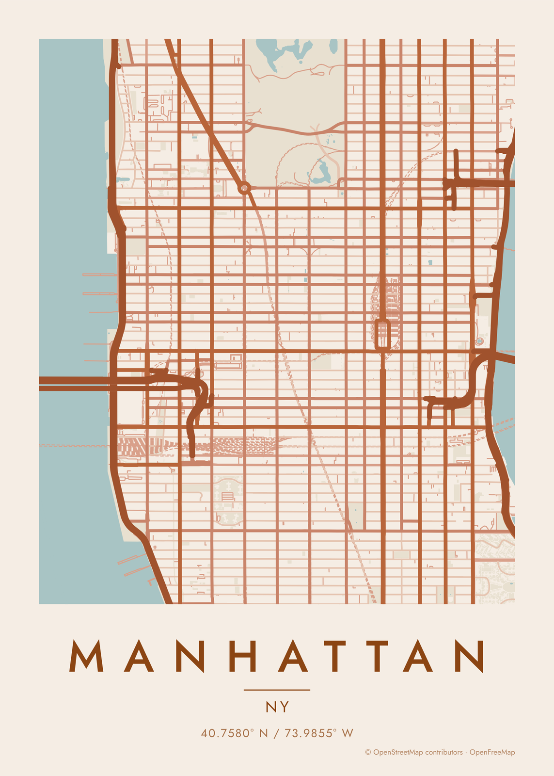
Neighborhoods, canals and a golf course
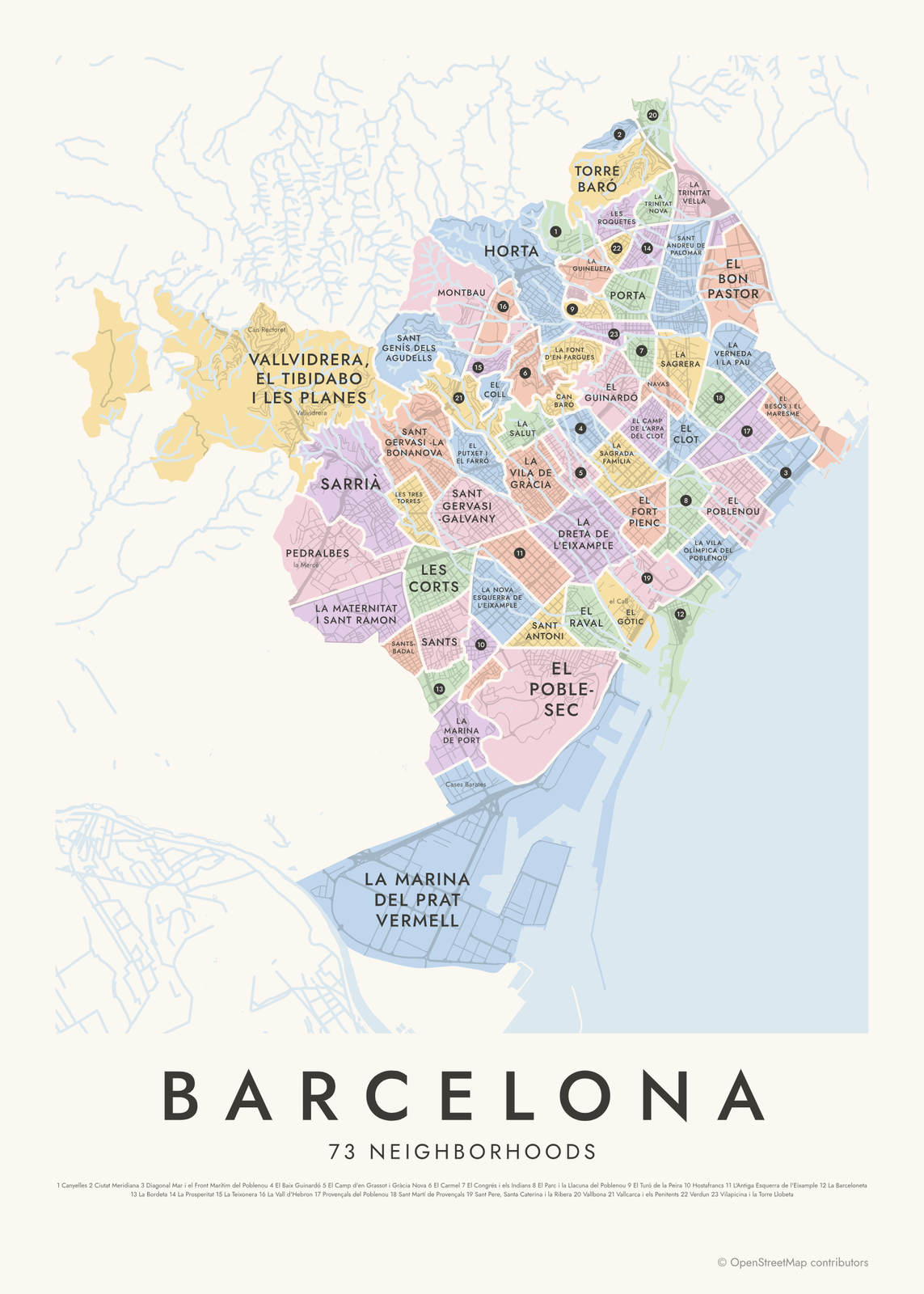 Neighborhood map of Barcelona: its 73 barris in pastel patches, each named, over pale streets by the sea, titled BarcelonaEdit this →More neighborhood maps →
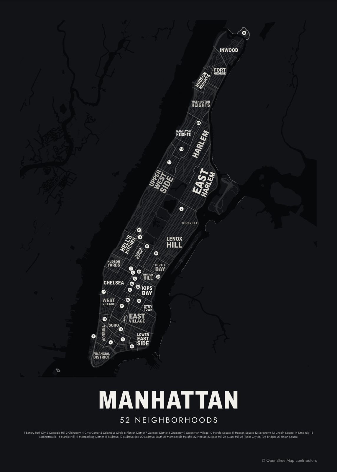 Neighborhood map of Manhattan on black: Inwood, Harlem, the Upper West Side, Chelsea and the rest named in white over its streets, titled Manhattan, 52 neighborhoodsEdit this →More neighborhood maps →
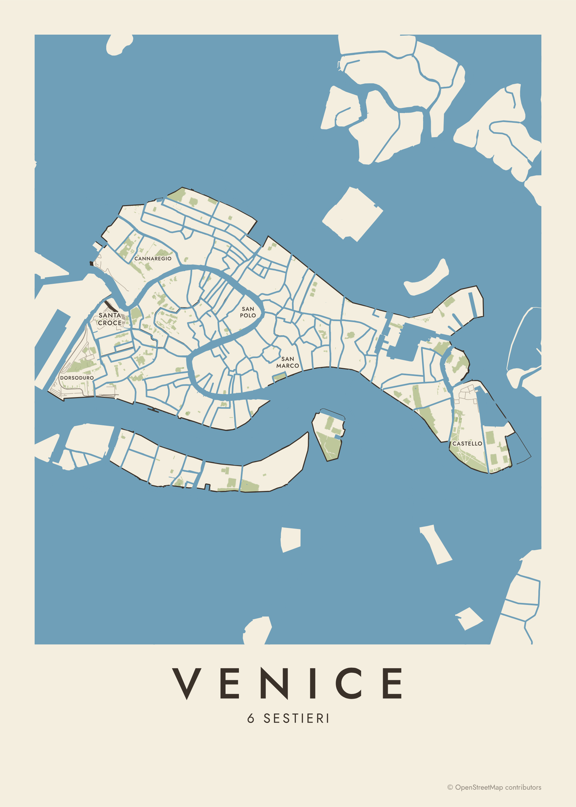 Map of Venice: its islands and canals in cream on a blue lagoon, the six sestieri named, titled VeniceEdit this →More neighborhood maps →
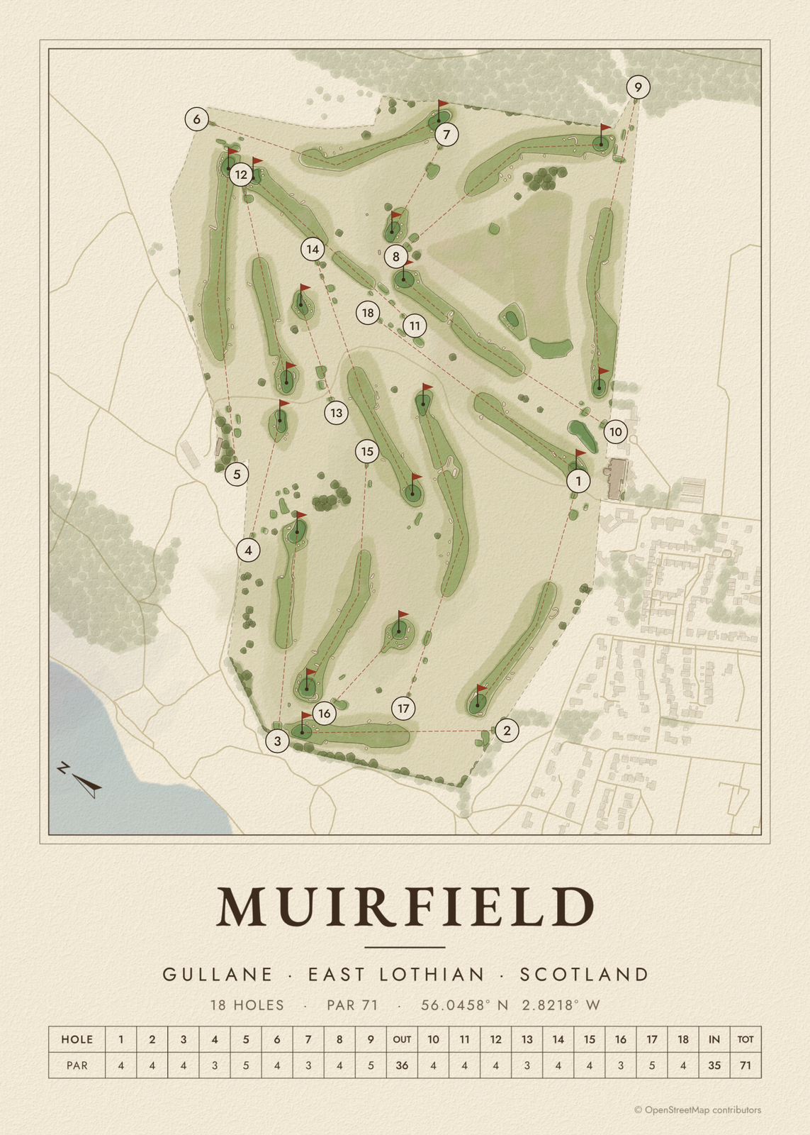 Golf course map of Muirfield in soft watercolor greens: fairways, greens and numbered holes on cream, with the place, par and scorecard belowEdit this →More golf course prints →
Mountains instead of streets
For a peak, a canyon or a range, Topo Map draws the land itself from real elevation data: contour lines, tinted bands, ridgelines, hachures, shaded relief or an engraved block.
How to make a custom map
- Search for the place: a city, a neighborhood, a street or an address.
- Drag the map to center it and zoom to set how much it shows, from a few blocks to a whole city.
- Pick the colors and a shape: a framed rectangle, edge to edge or a circle.
- Write a title and a subtitle, or leave them empty for the place's name and country.
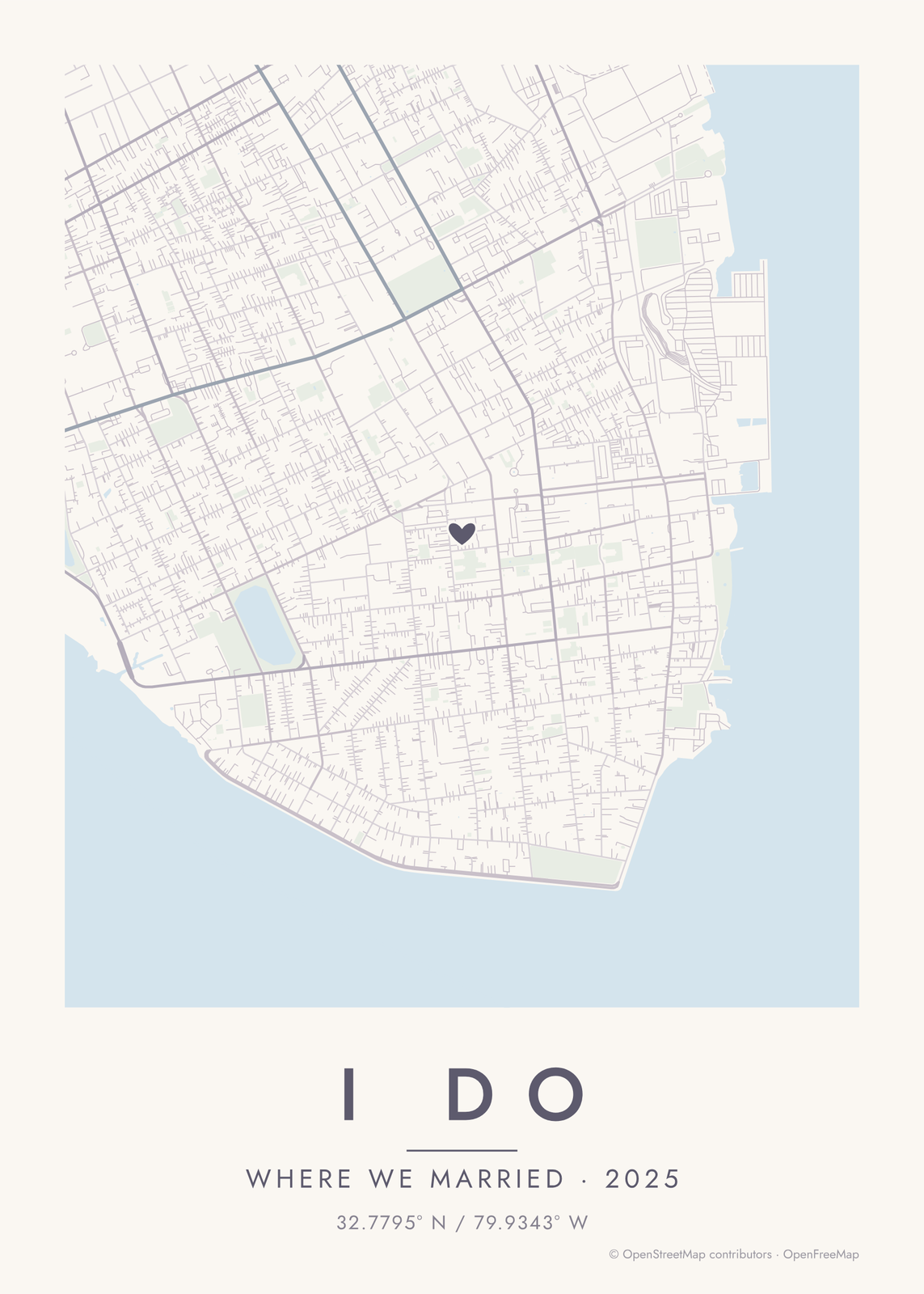
- Add a heart, a pin or a dot at the center if one spot matters most, then download the print file.
Choosing a style
There are 18 color styles, from warm beige and noir to blueprint, forest, ocean and Japanese ink. Dark styles like noir and midnight blue make the streets glow; light ones like warm beige and pastel dream sit quietly in a bright room.
You can turn layers on and off: water, parks, buildings, footpaths and railways. Buildings add texture to a small area; leave them off for a whole city so the streets stay clear.
For other looks, road map art draws every road of a city in a single color, as a dense line portrait, and Topo Map draws a mountain as shaded bands or contour lines. Neighborhood Map names every district of a city, and Golf Course draws a course hole by hole, with its scorecard.
Ideas for a map poster
Your hometown, the neighborhood where you grew up, the city you moved to, the street of your first apartment. A map of where you met or got engaged, the college town you graduated from, or a new home as a housewarming gift.
Questions
Can I map any place?
Yes, anywhere in the world: big cities, small towns and single neighborhoods. Search by name or address, then drag the map to frame exactly the area you want.
Where does the map data come from?
From OpenStreetMap, the open map built by volunteers. Its credit line is printed small in the corner of every map.
How much of the city should I show?
One to two miles across shows a neighborhood, street by street. Three to five shows a city center. Larger areas turn into a fine web of lines, which suits a bold style like noir or blueprint.
What sizes can I print?
US Letter, 8 × 10, 11 × 14, 12 × 16 and 12 × 18 in, A4 and A3, free. You download a 300 DPI JPEG drawn at the size you pick, ready for any print shop. Larger prints, up to 24 × 36 in, are coming soon.
Related

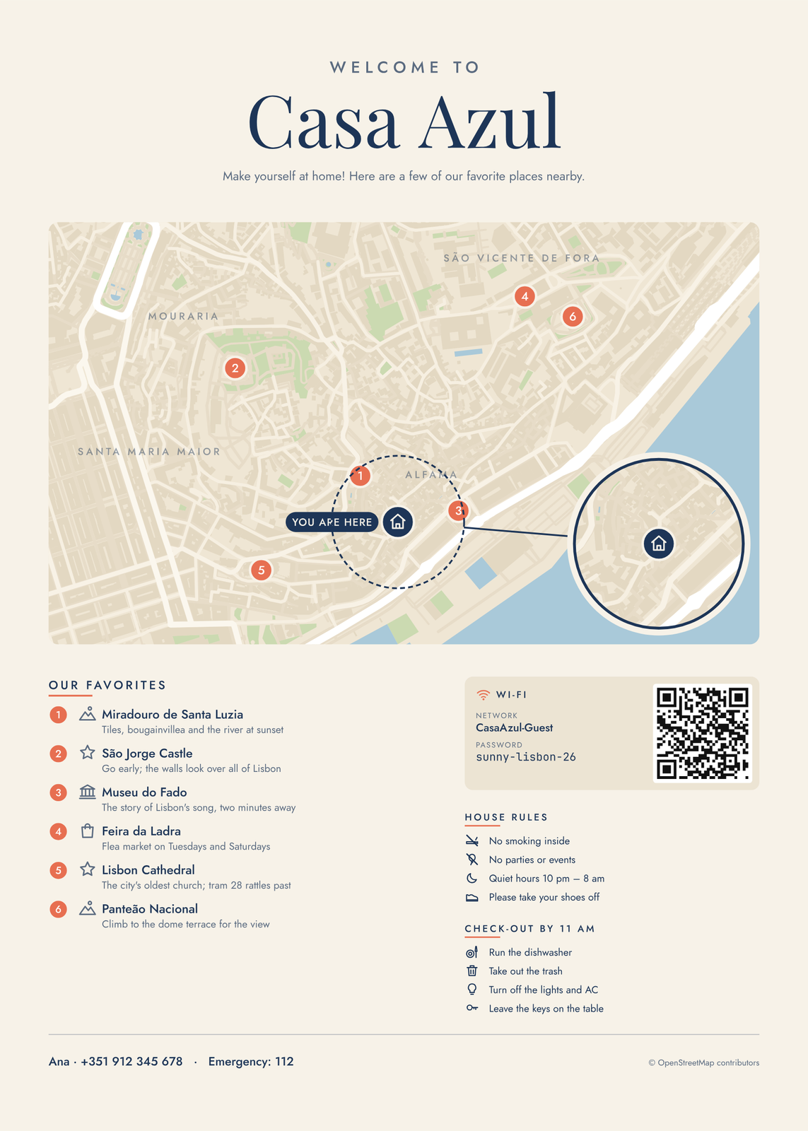
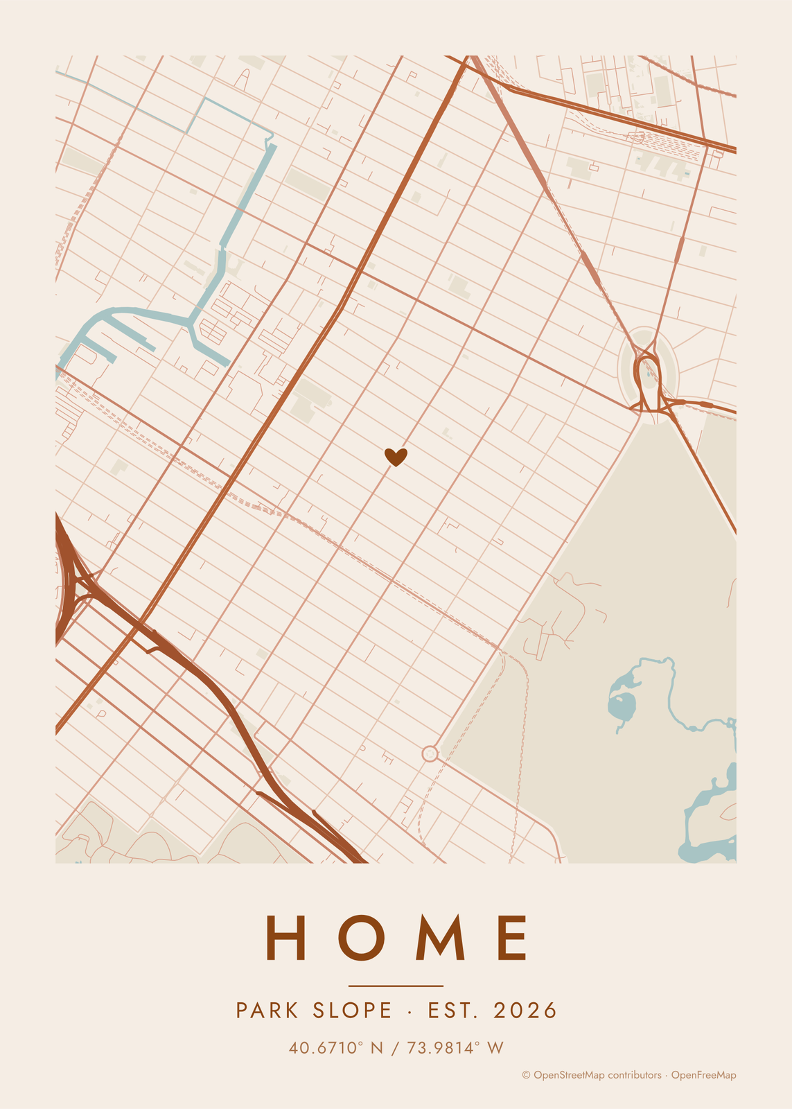
Gift ideas by occasion




Every example is made with the Posterage generators. Change anything, then download it as a 300 DPI JPEG.