Neighborhood map every neighborhood of your city, named
Pick a city and see all its neighborhoods, districts or boroughs at once, each one named and colored apart from its neighbors. Highlight the one you live in, choose a style, and print it as a poster.
Neighborhood maps by city
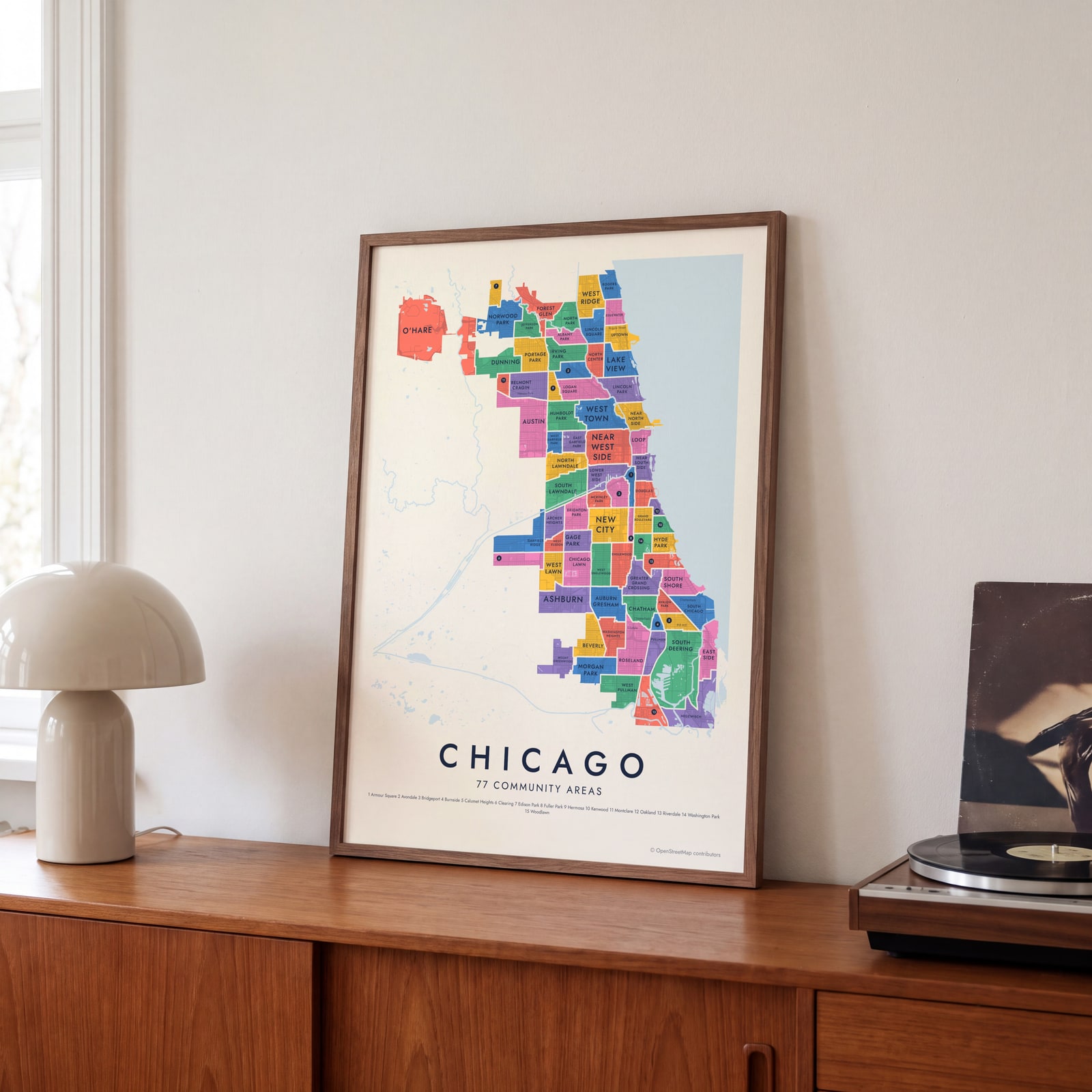
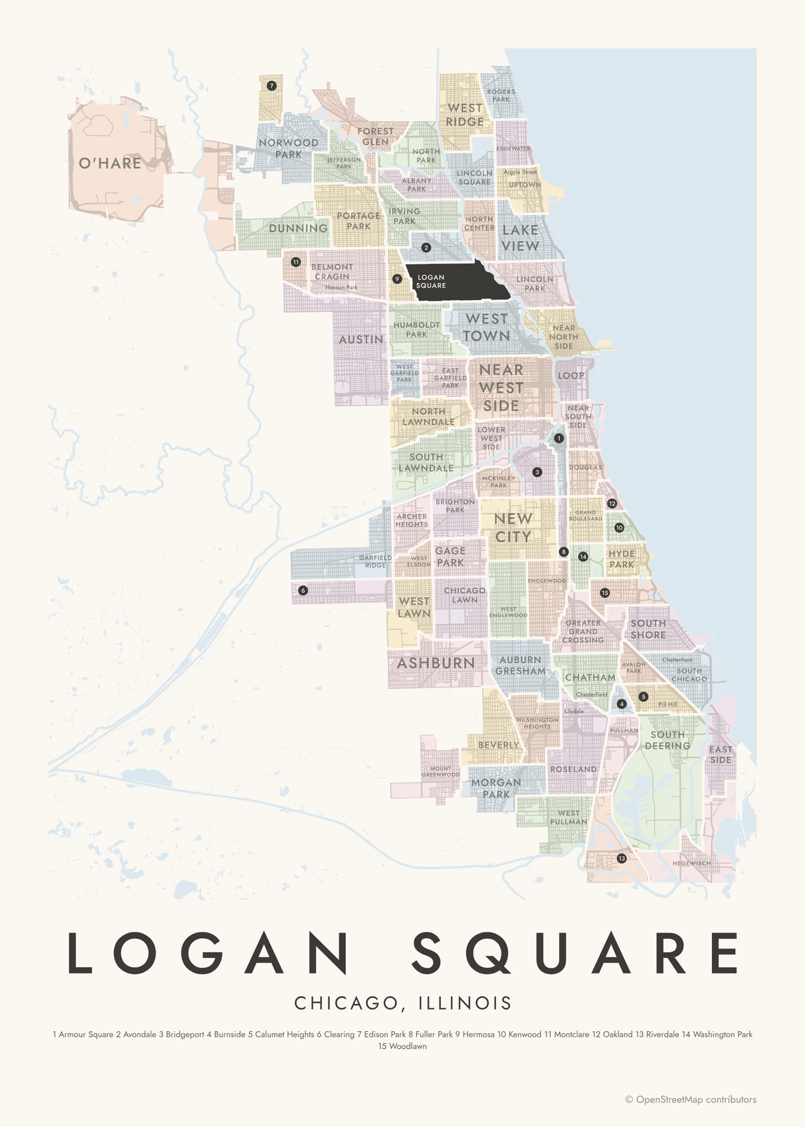
 Chicago neighborhood mapall 77 community areas, named
 NYC neighborhood mapfive boroughs, 197 neighborhoods
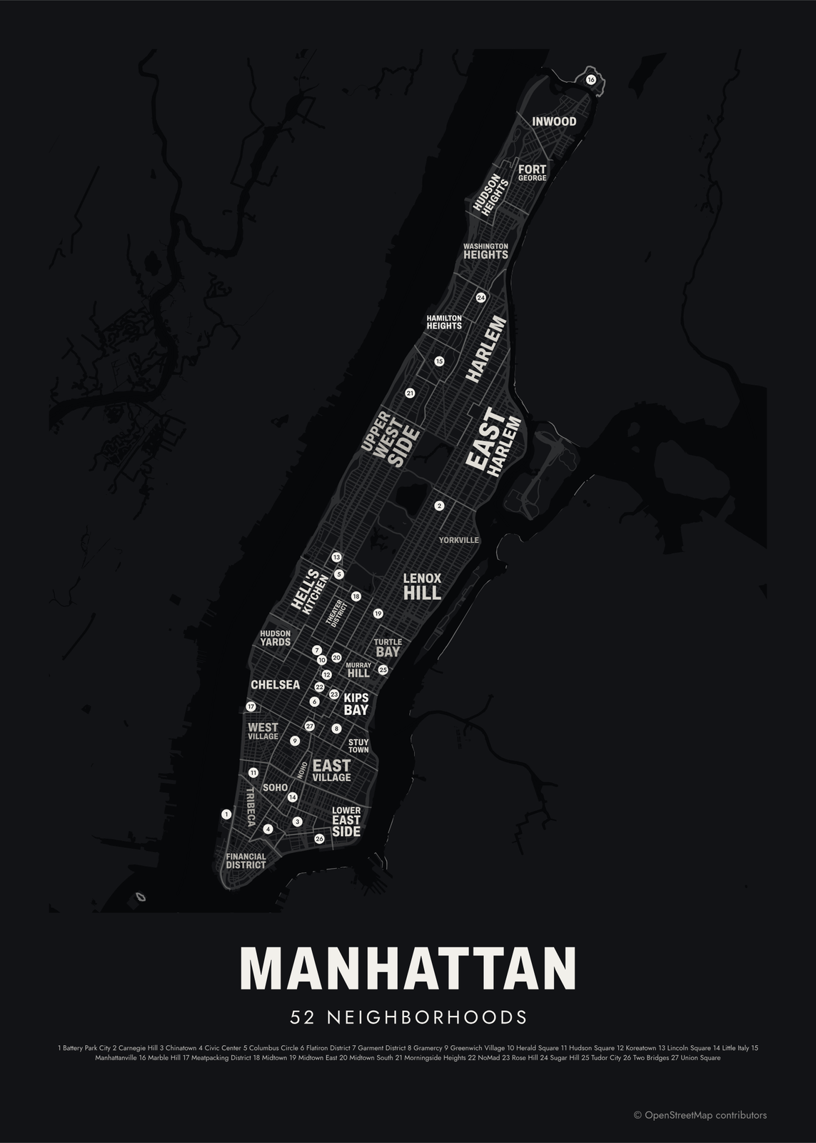
 Manhattan neighborhood map52 neighborhoods, from Inwood to the Battery
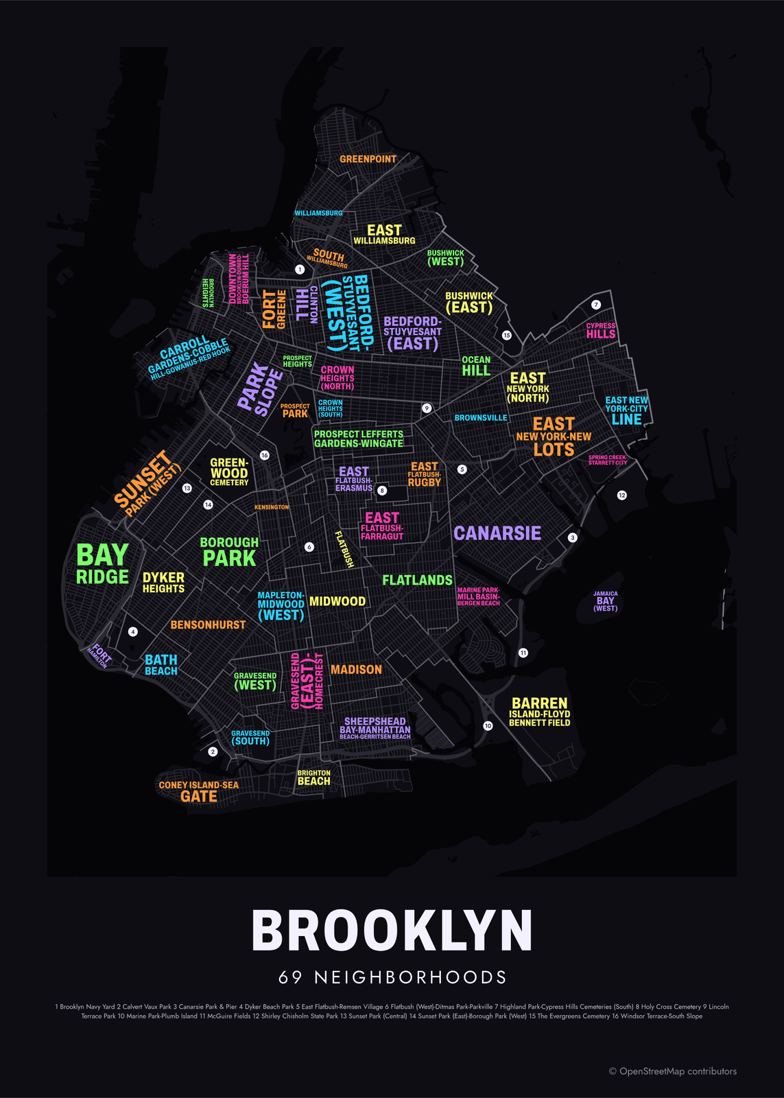
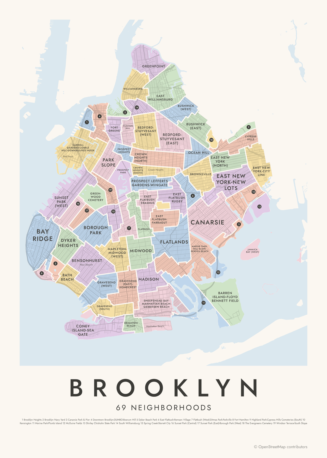 Brooklyn neighborhood map69 areas, from Greenpoint to Coney Island
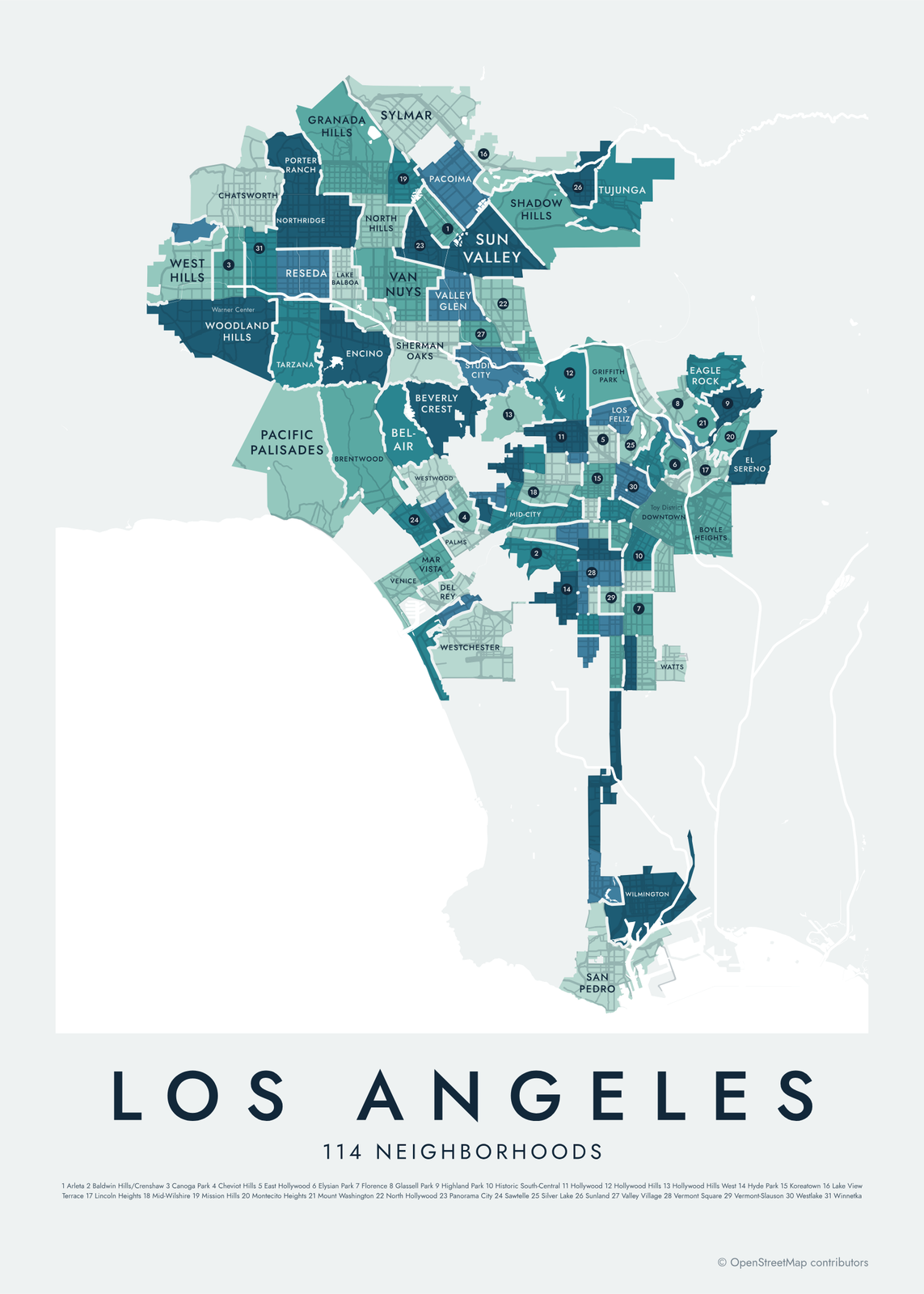 Los Angeles neighborhood map114 neighborhoods, from Sylmar to San Pedro
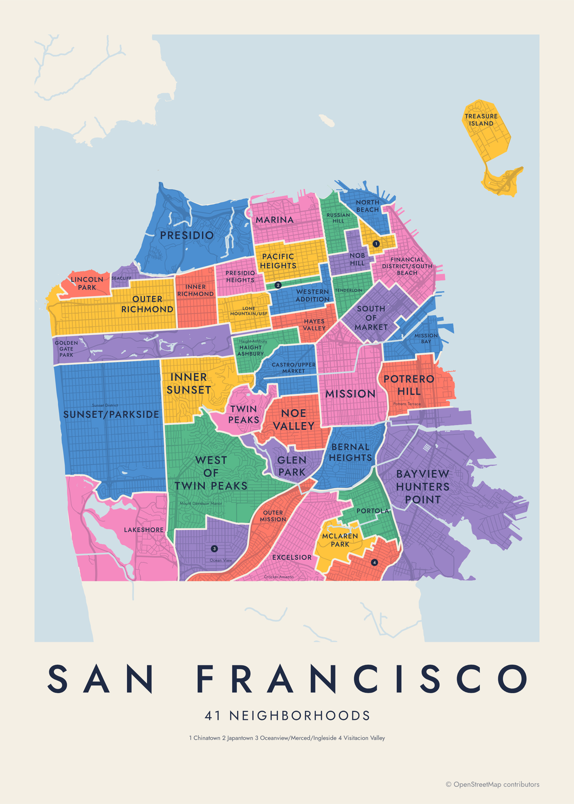 San Francisco neighborhood map41 neighborhoods, or 117 smaller ones
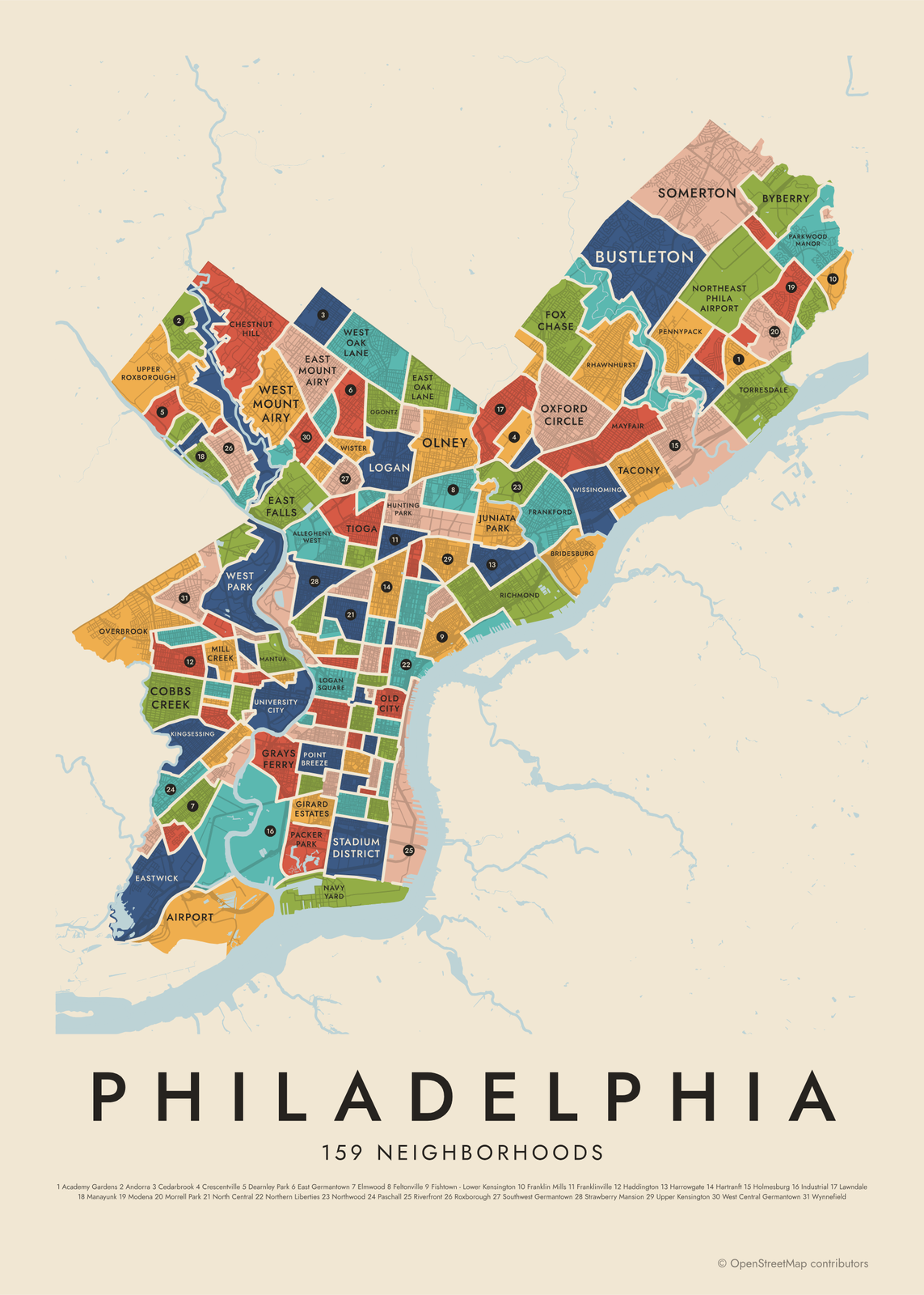 Philadelphia neighborhood map159 neighborhoods, named
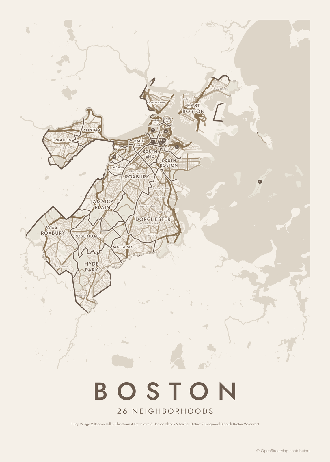
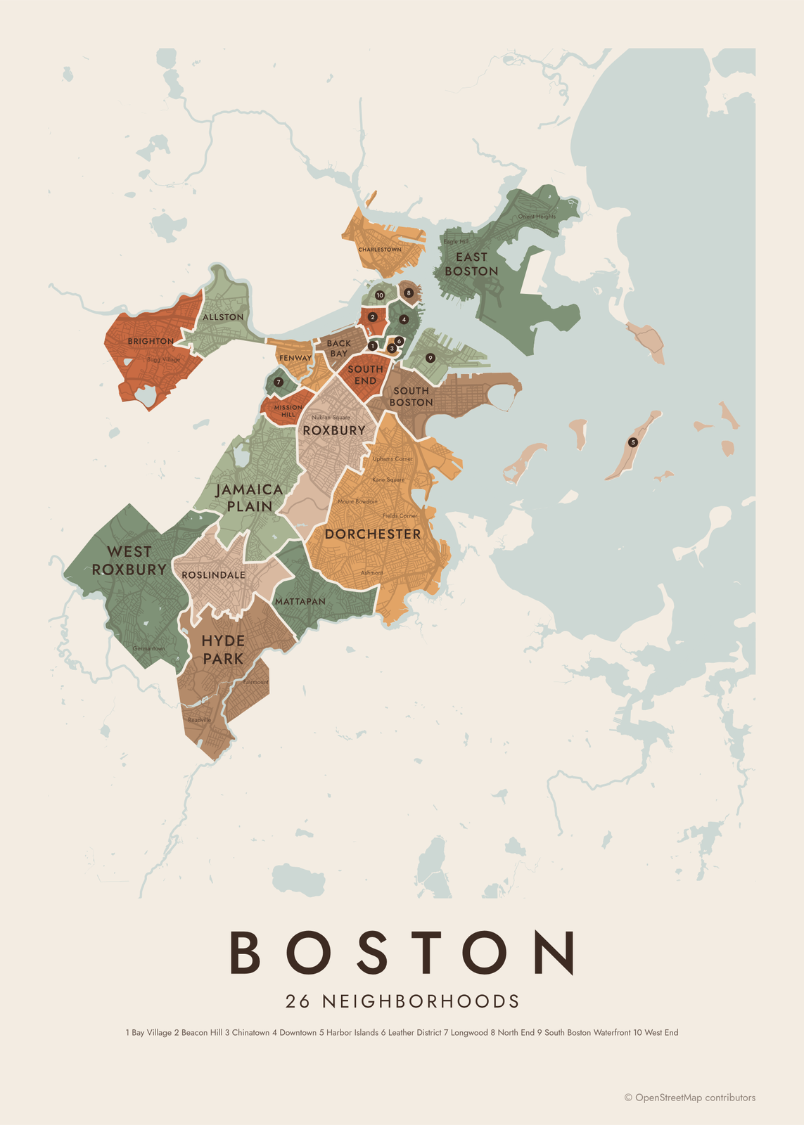 Boston neighborhood map26 neighborhoods, named
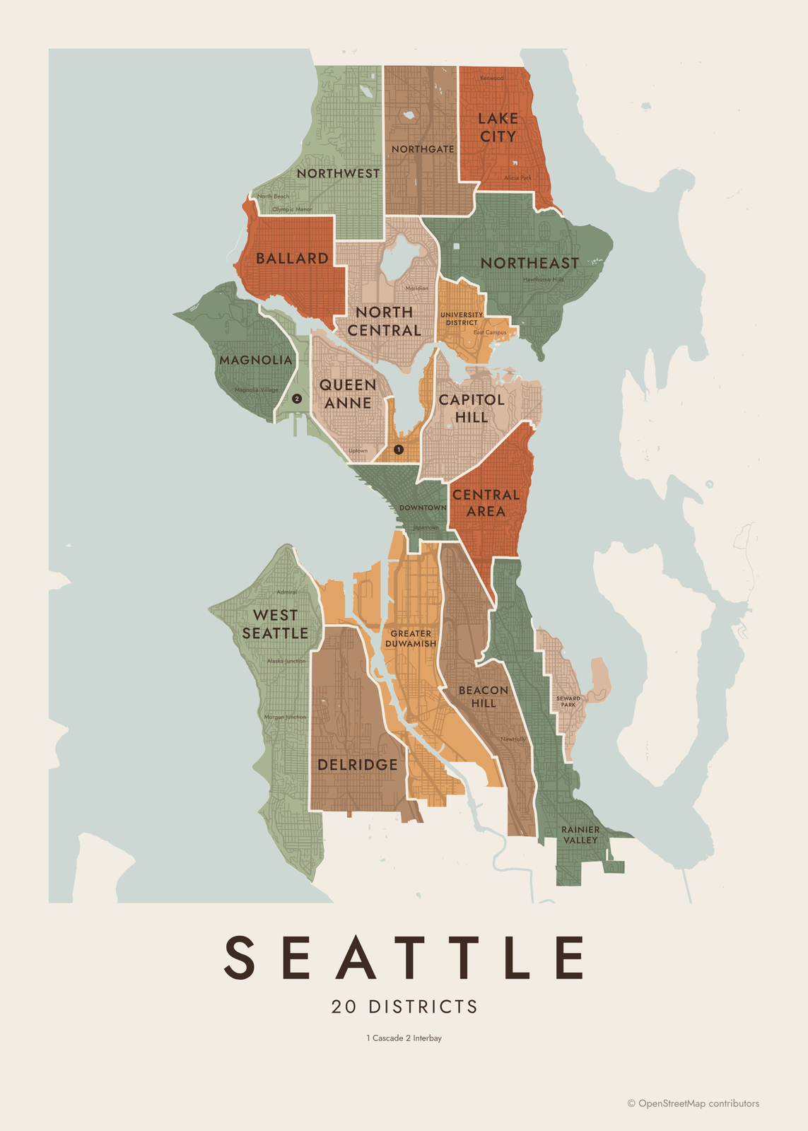
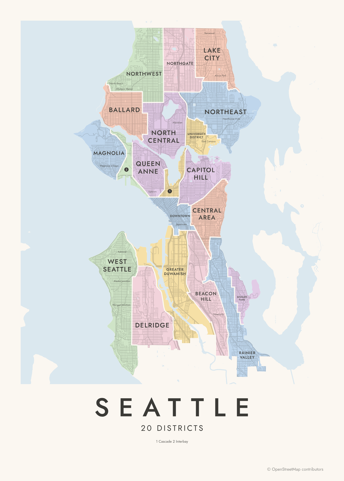 Seattle neighborhood map20 districts, 94 neighborhoods
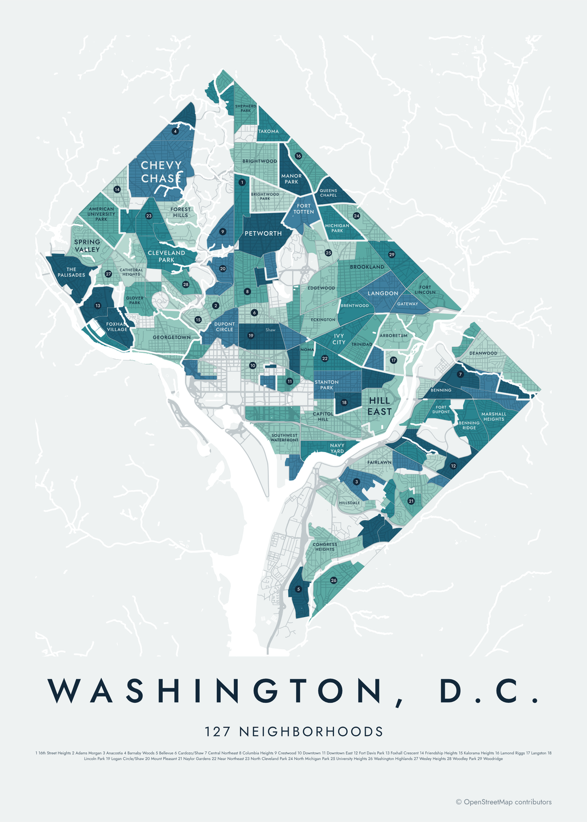 Washington DC neighborhood map127 neighborhoods and the four quadrants
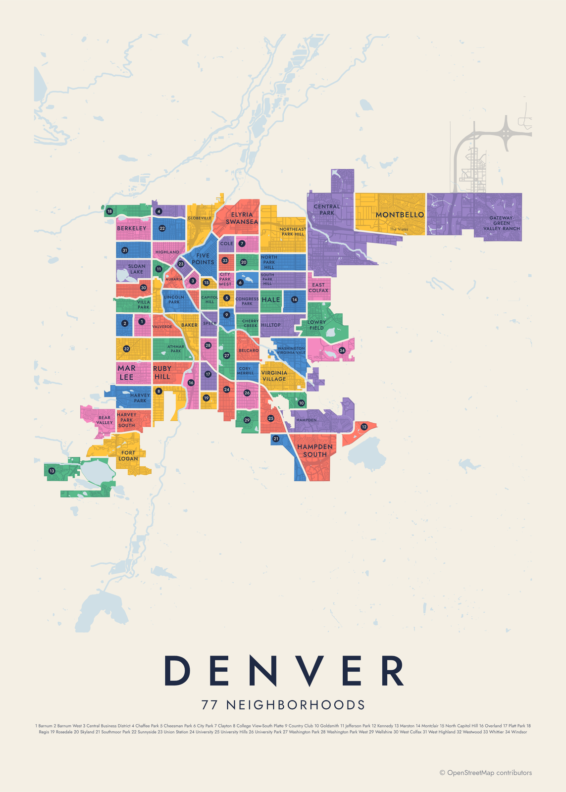 Denver neighborhood map77 neighborhoods, named
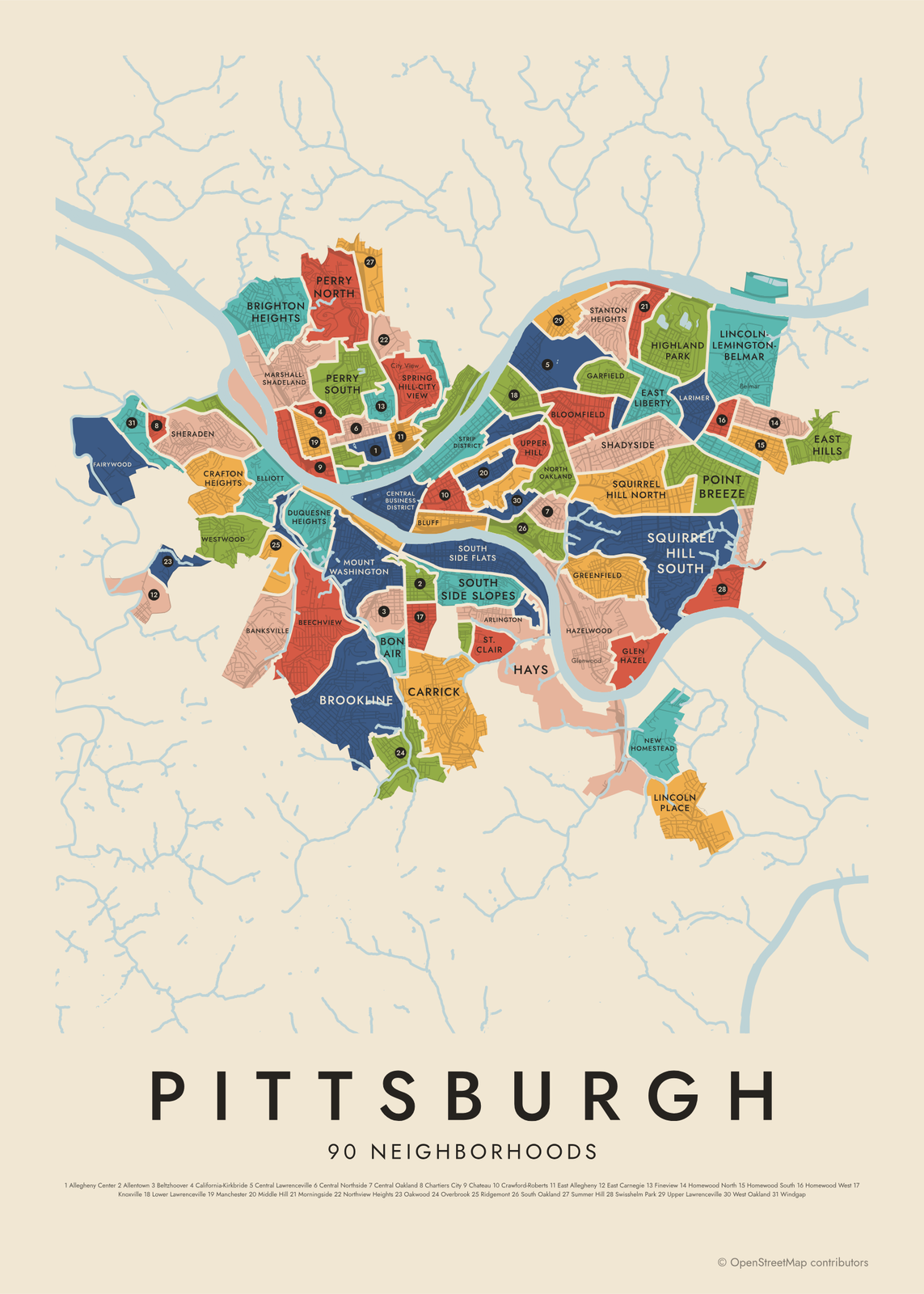 Pittsburgh neighborhood mapall 90 neighborhoods, named
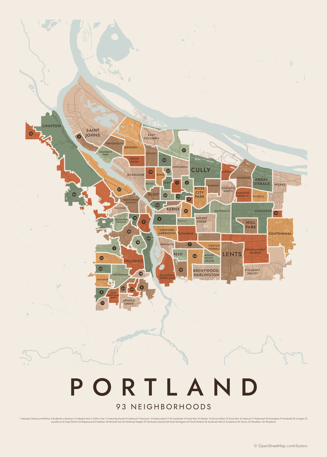 Portland neighborhood map93 neighborhoods of Portland, Oregon
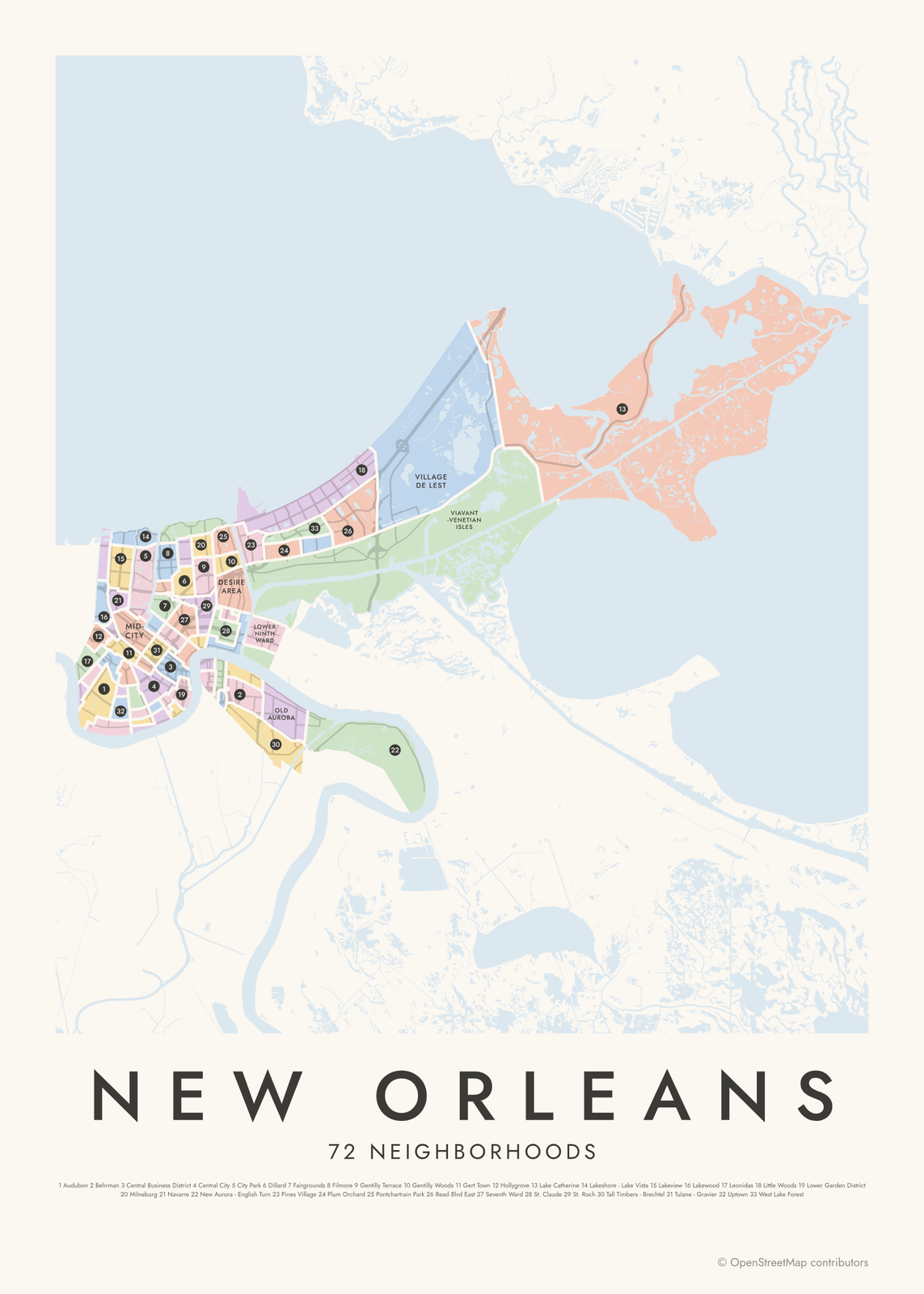 New Orleans neighborhood map72 neighborhoods, named
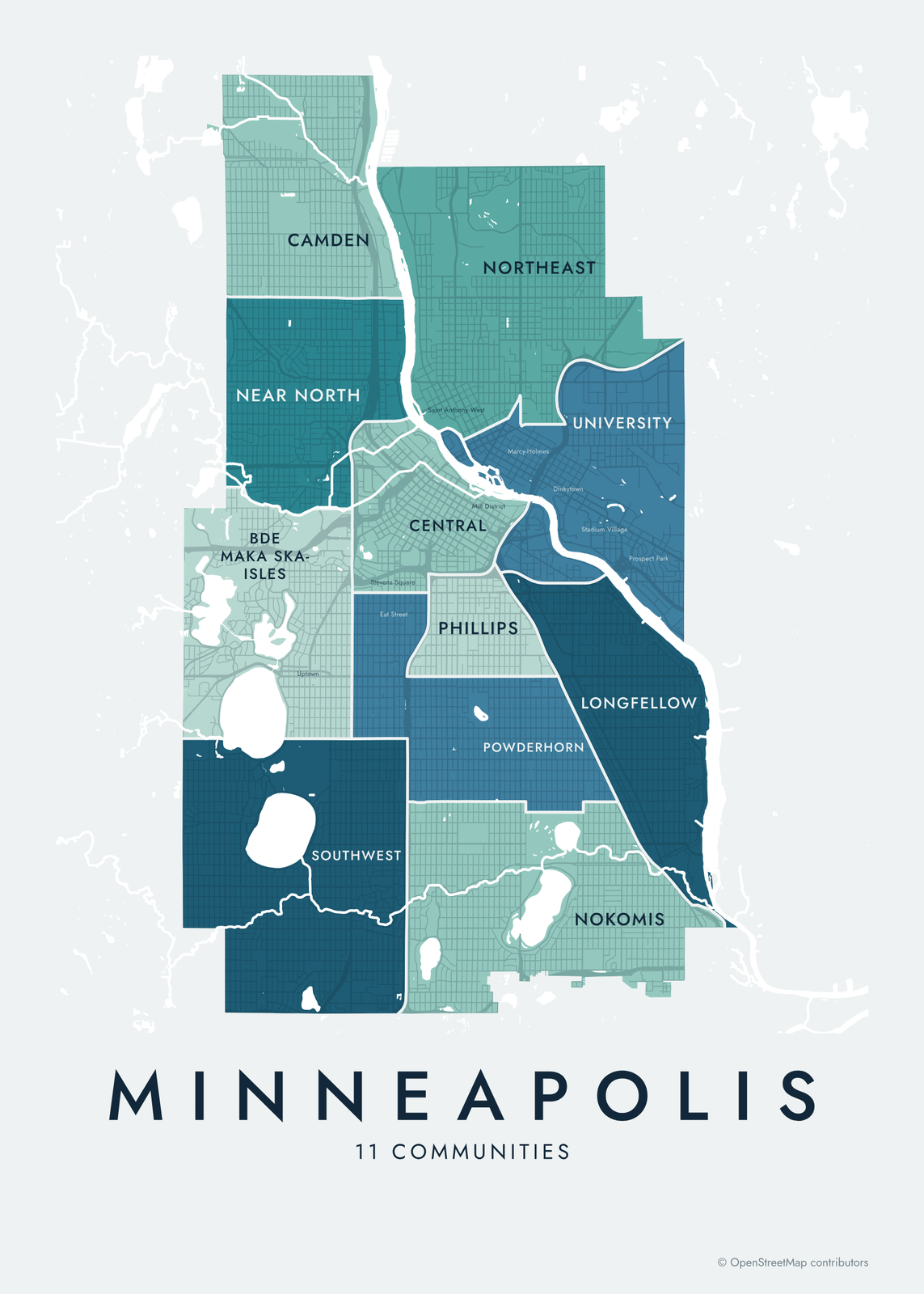 Minneapolis neighborhood map11 communities and 87 neighborhoods, named
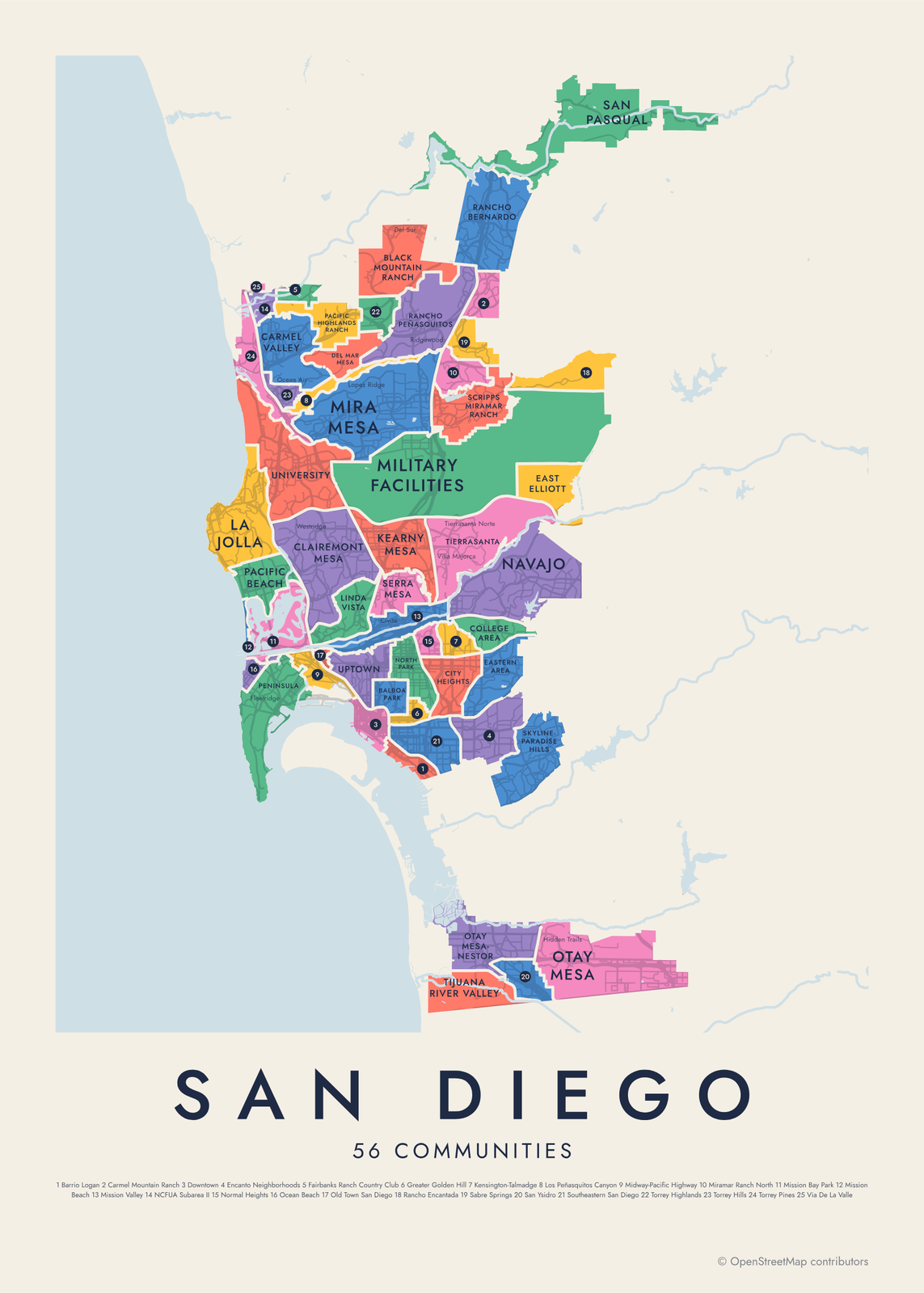 San Diego neighborhood map56 communities and 124 neighborhoods, named
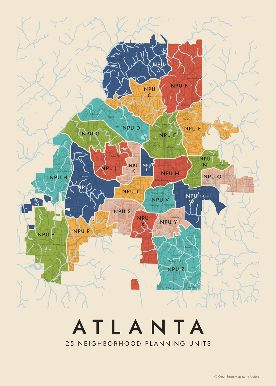 Atlanta neighborhood map25 NPUs and 95 neighborhood names
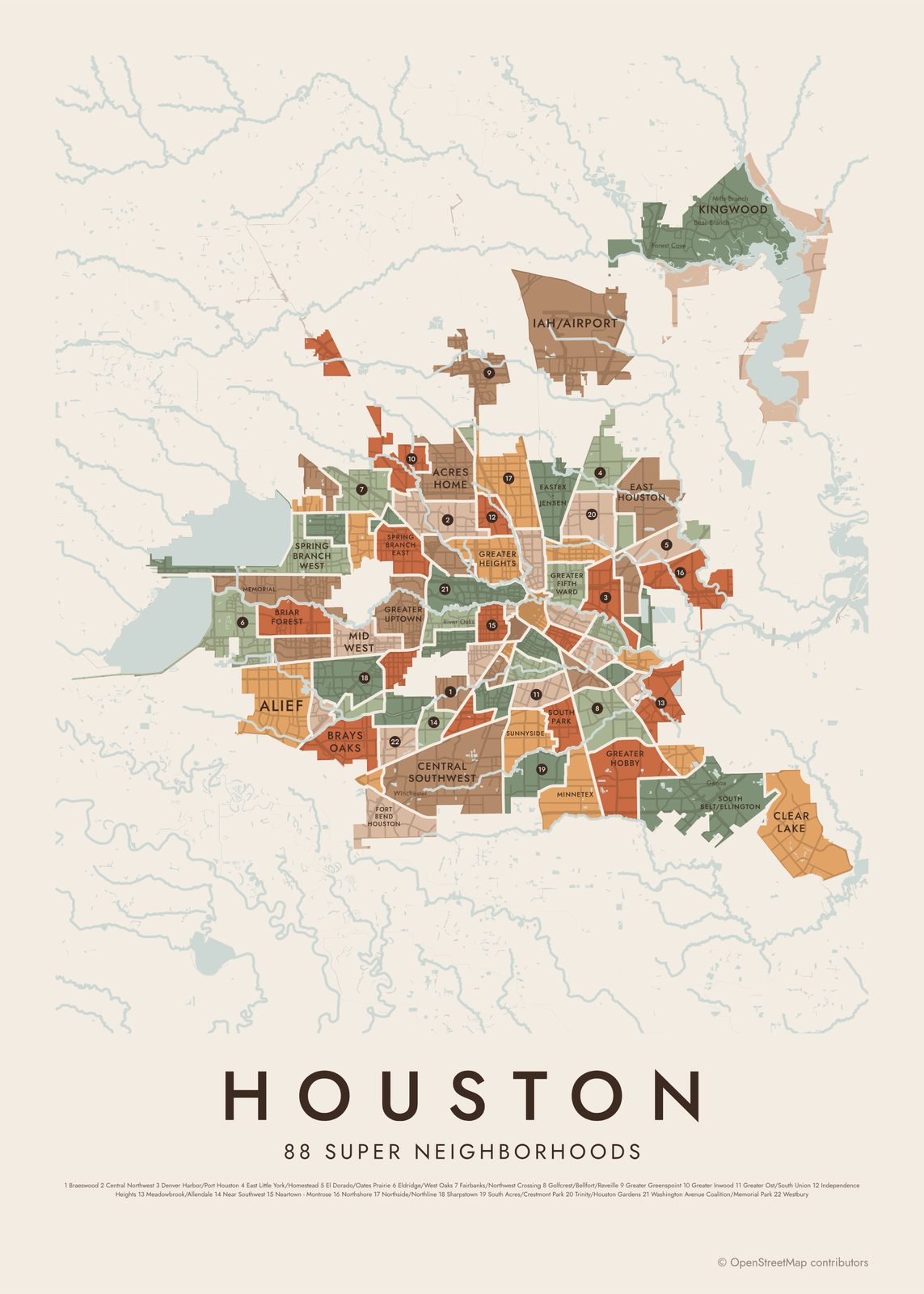 Houston neighborhood mapall 88 super neighborhoods, named
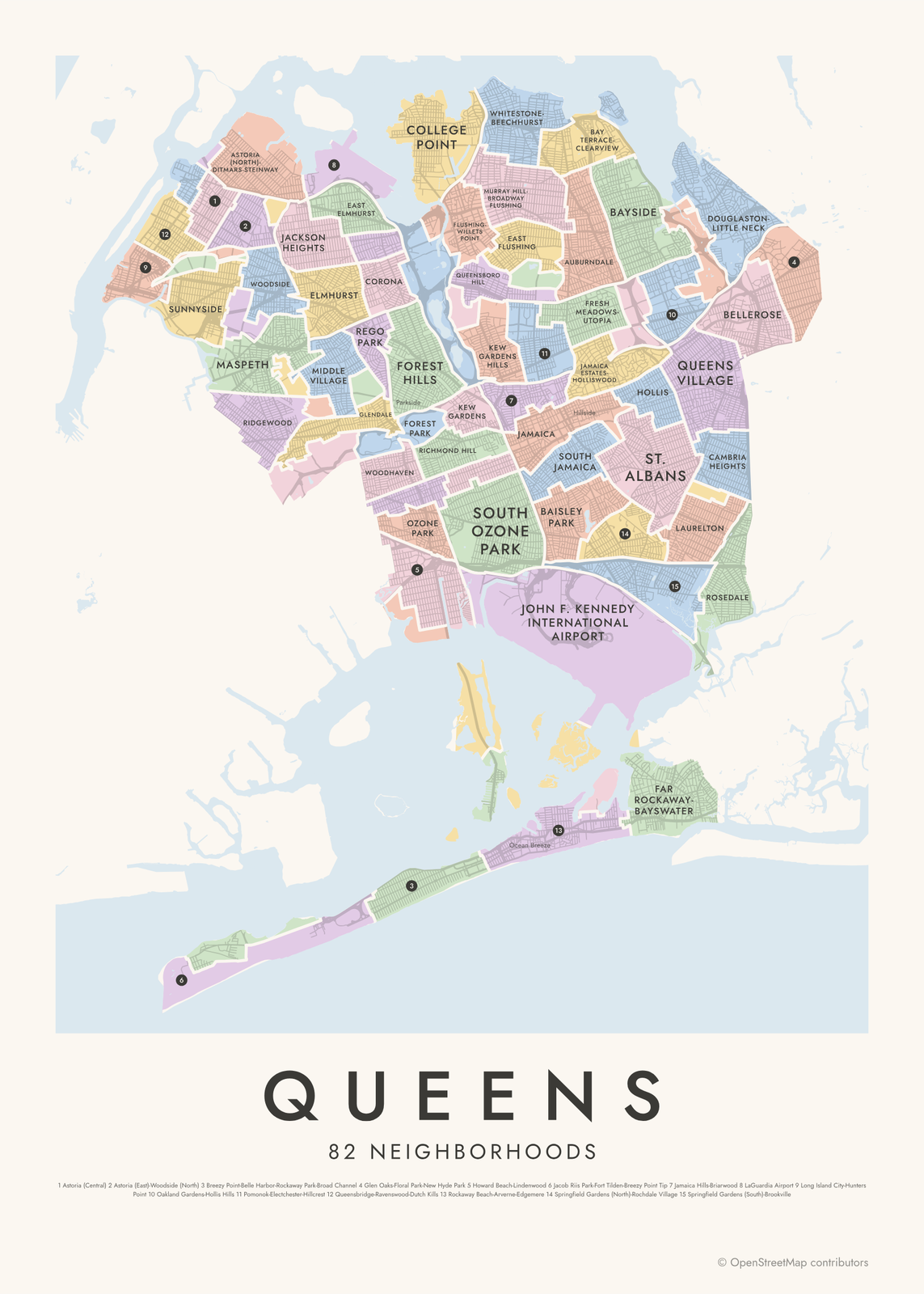 Queens neighborhood map82 neighborhoods, named
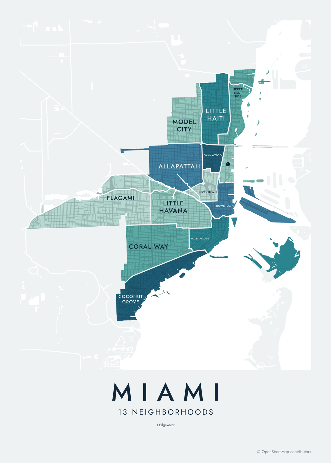 Miami neighborhood map13 areas and 104 neighborhoods, named
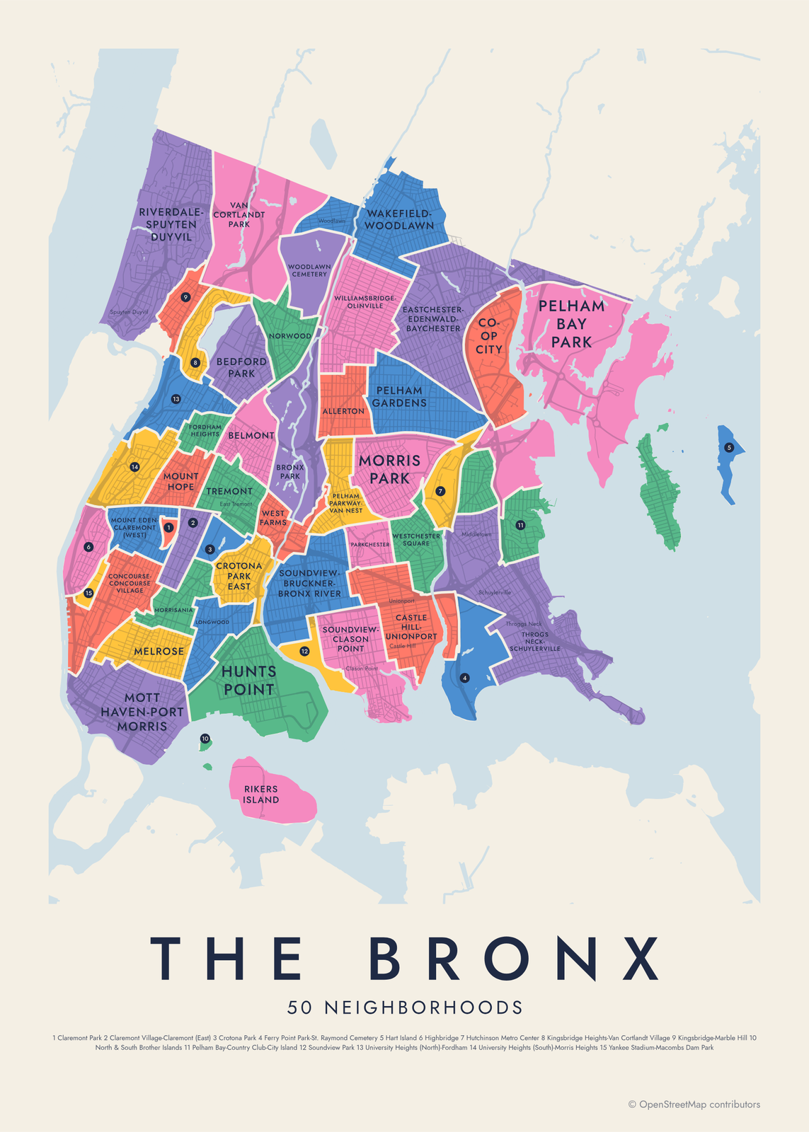 Bronx neighborhood map50 neighborhood areas, all named
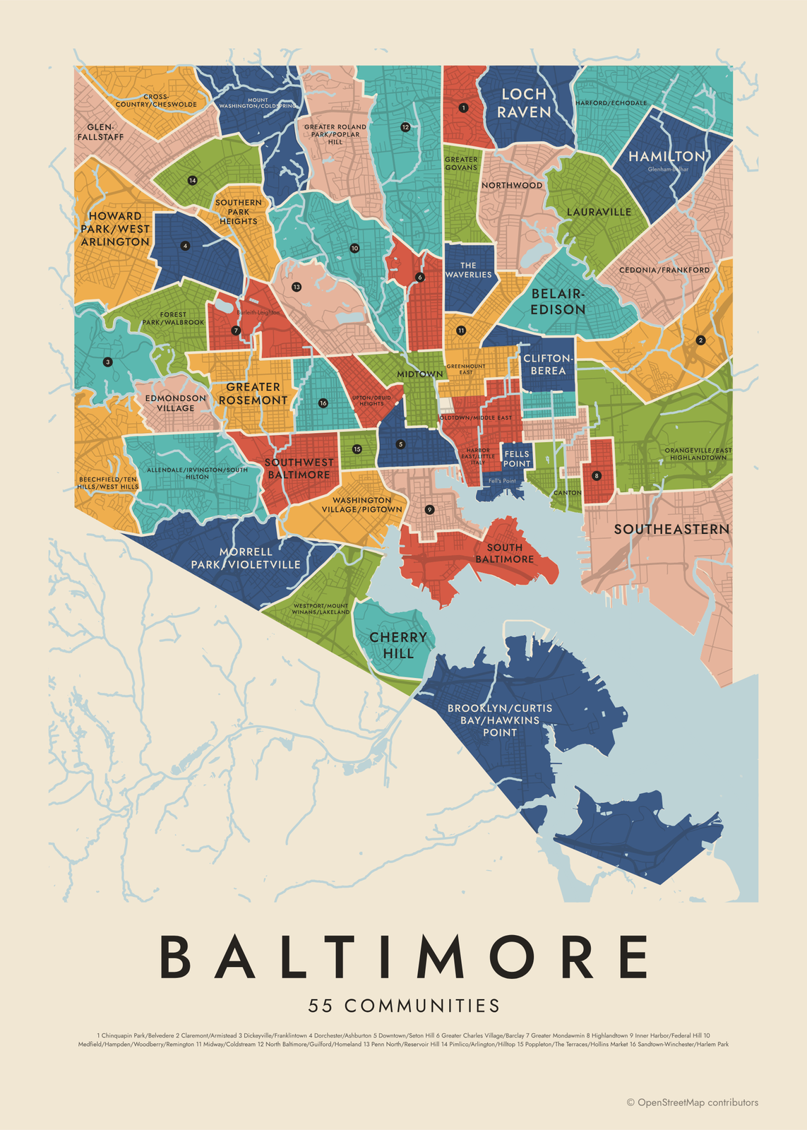 Baltimore neighborhood map279 neighborhoods in 55 communities
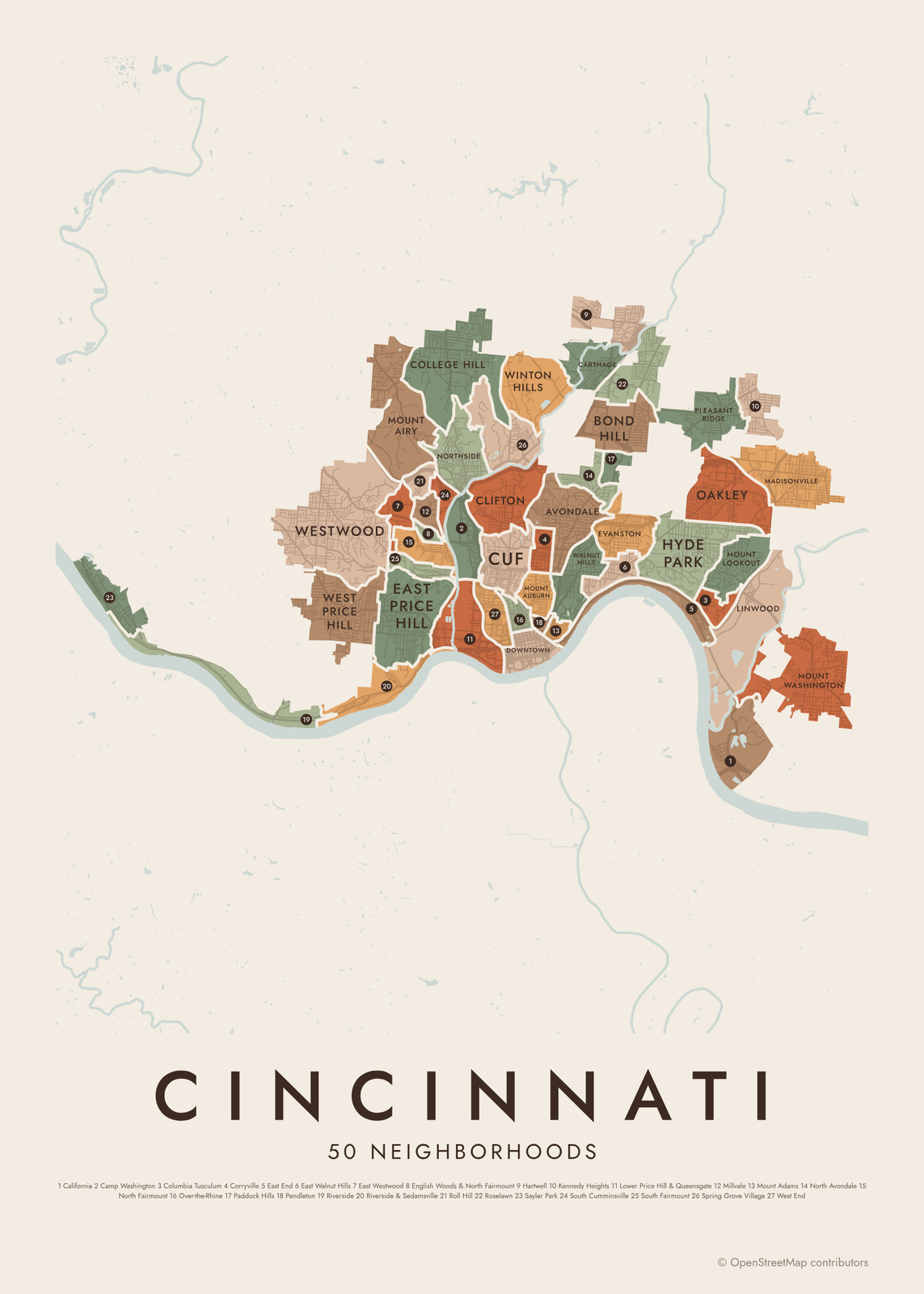 Cincinnati neighborhood map50 neighborhood areas, all named
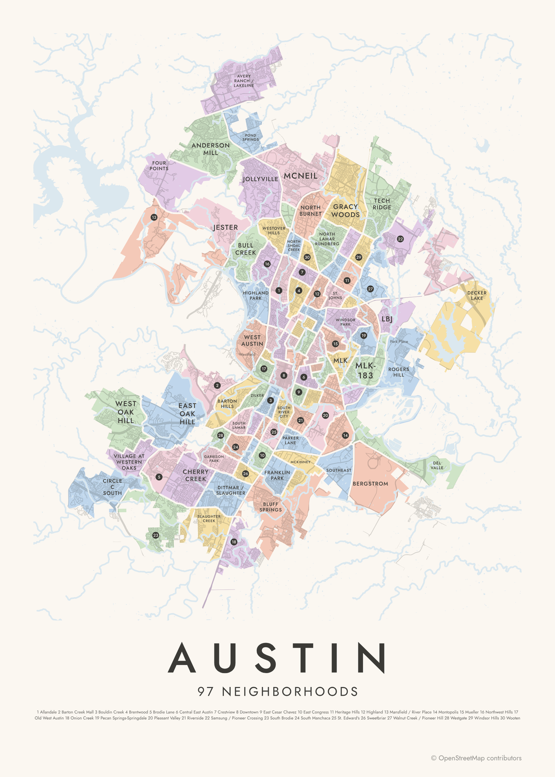 Austin neighborhood map97 neighborhood areas, all named
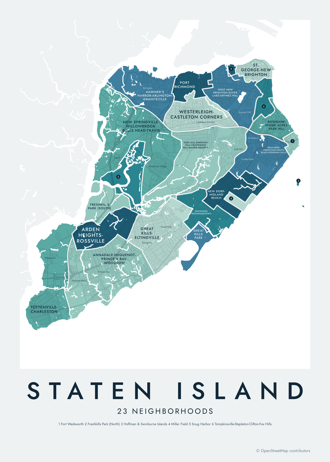 Staten Island neighborhood map23 areas and 62 neighborhood names
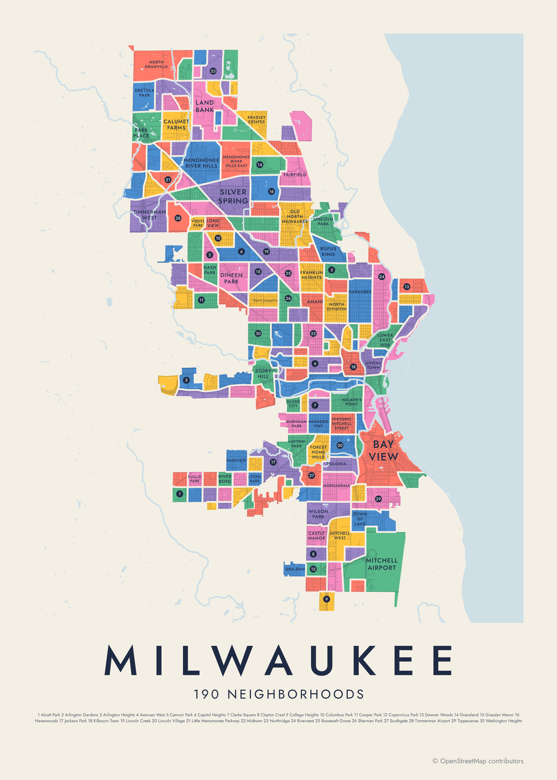 Milwaukee neighborhood mapall 190 neighborhoods, named
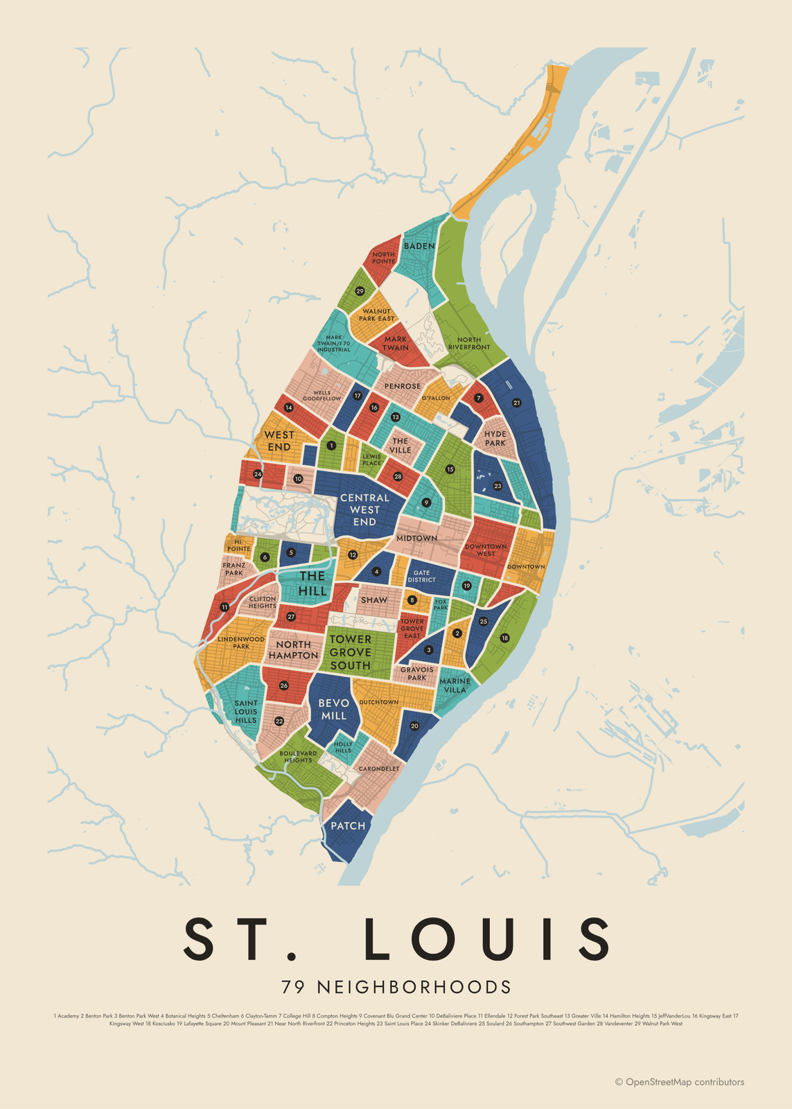 St. Louis neighborhood mapall 79 neighborhoods, named
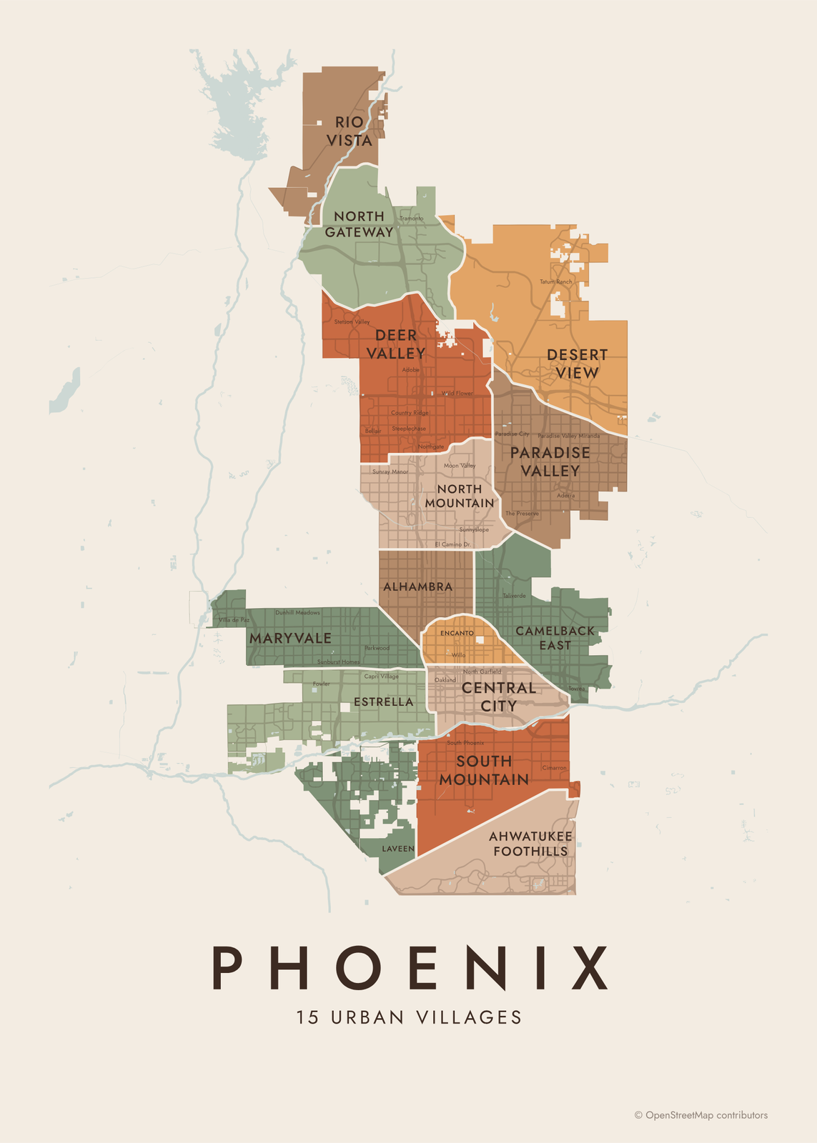 Phoenix neighborhood map15 urban villages, all named
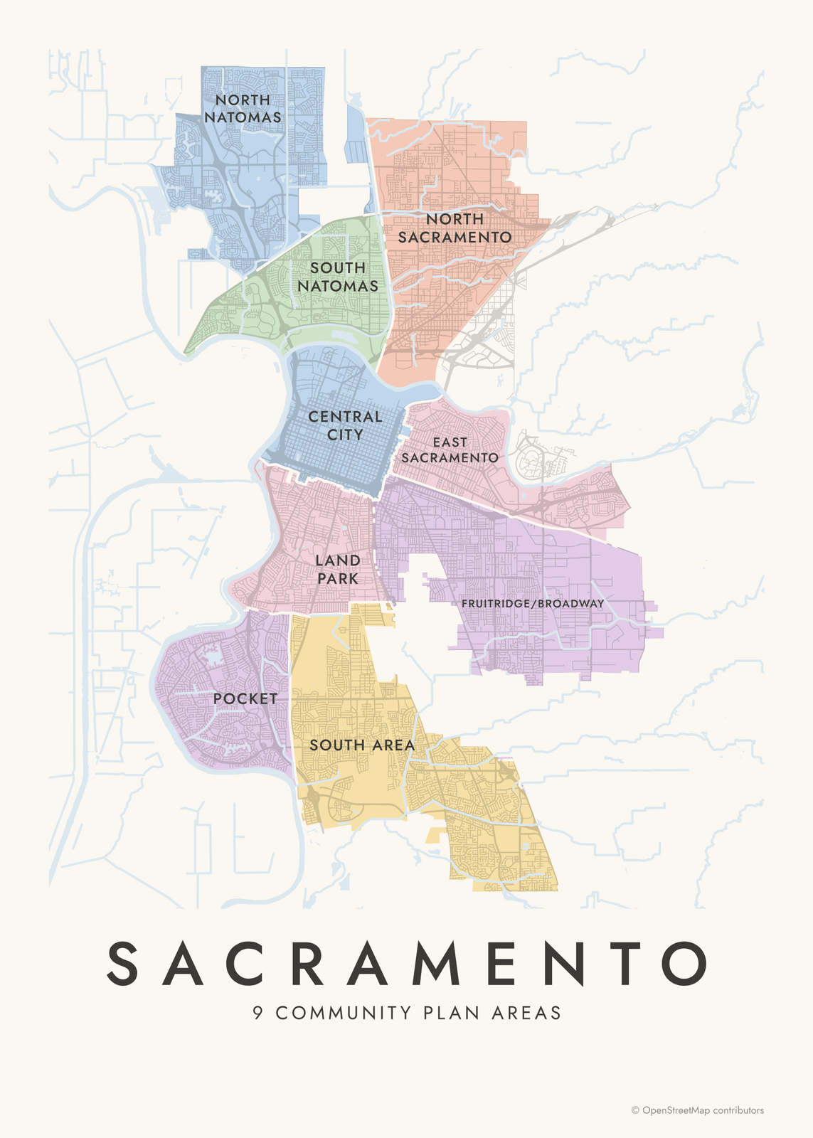 Sacramento neighborhood map128 neighborhoods, all named
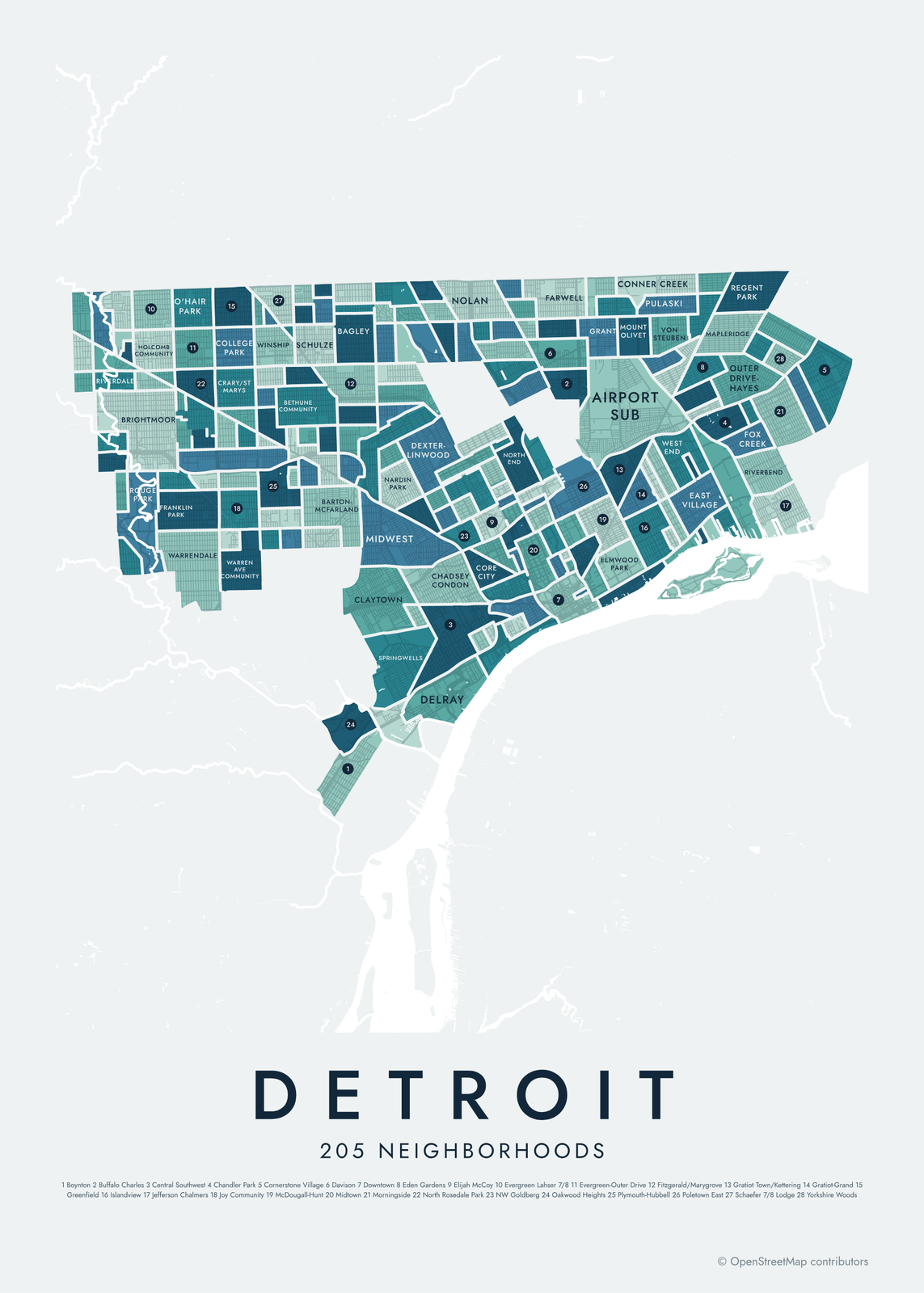 Detroit neighborhood mapall 205 neighborhoods, named
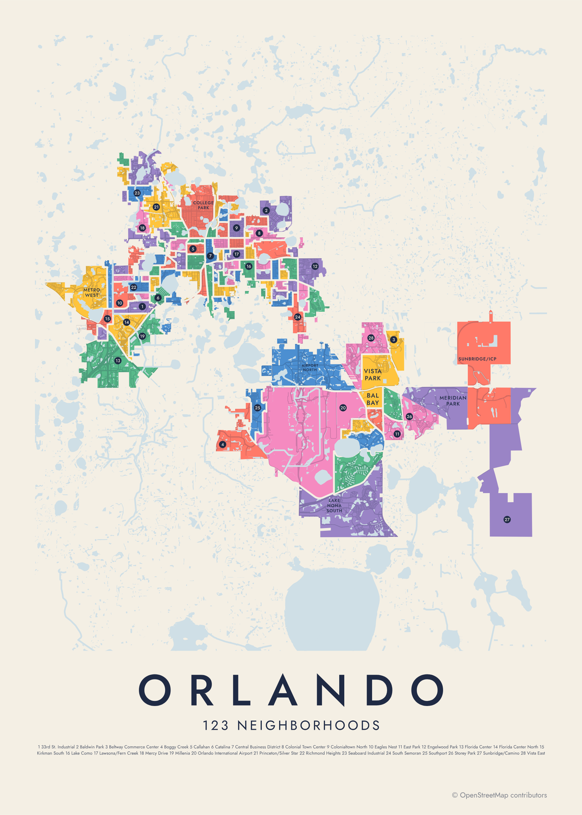 Orlando neighborhood map123 neighborhoods, named
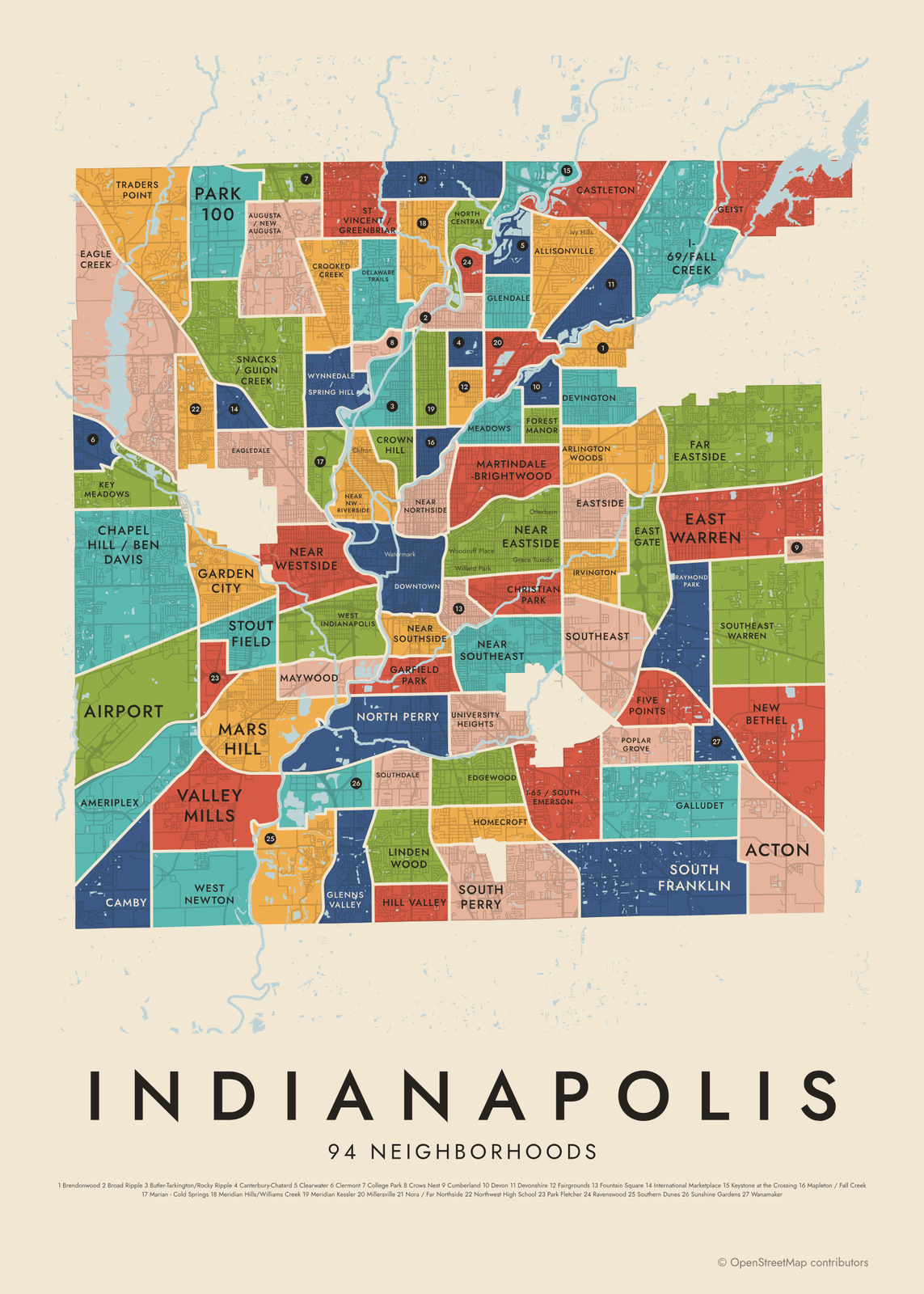 Indianapolis neighborhood map94 neighborhood areas, named
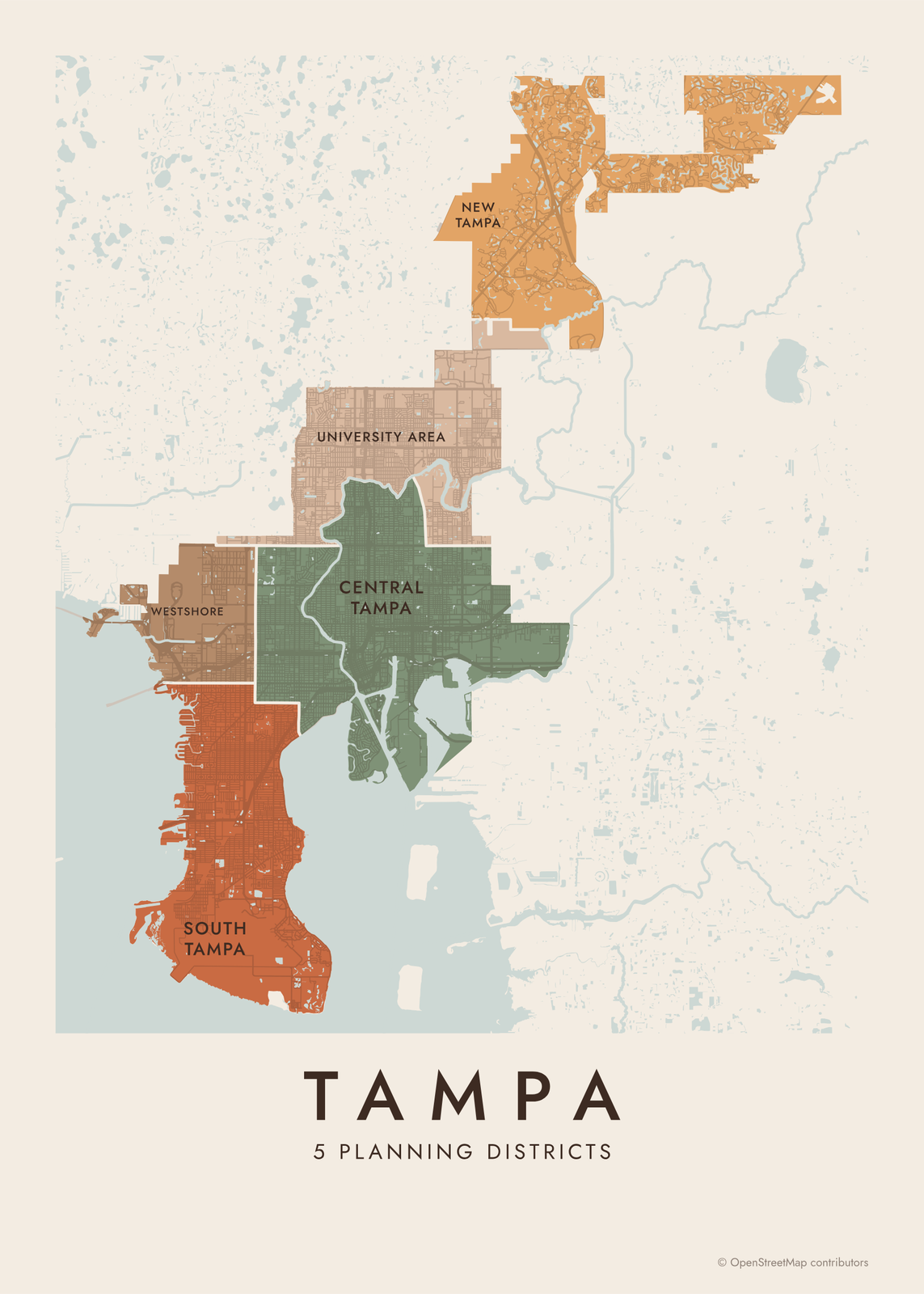 Tampa neighborhood map5 planning districts, 126 neighborhoods
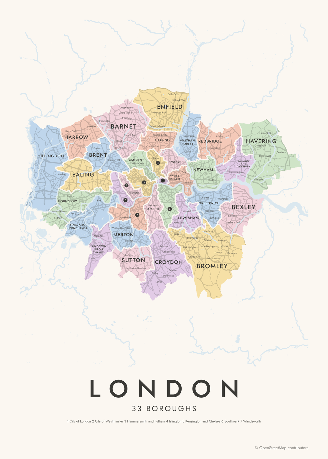 London boroughs mapall 32 boroughs and the City, named
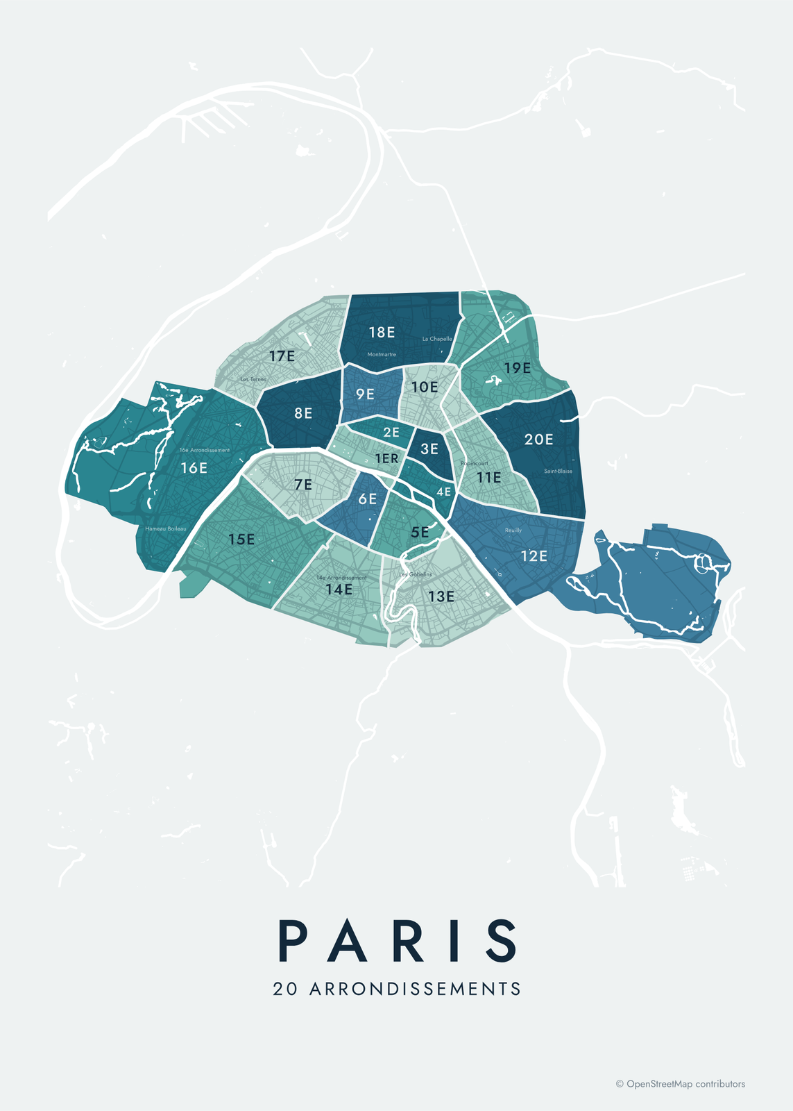 Paris arrondissements mapall 20 arrondissements and 80 quartiers
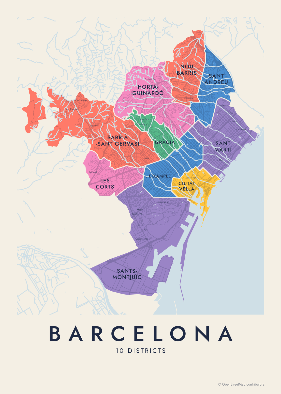 Barcelona neighborhood map10 districts and 73 barris, named
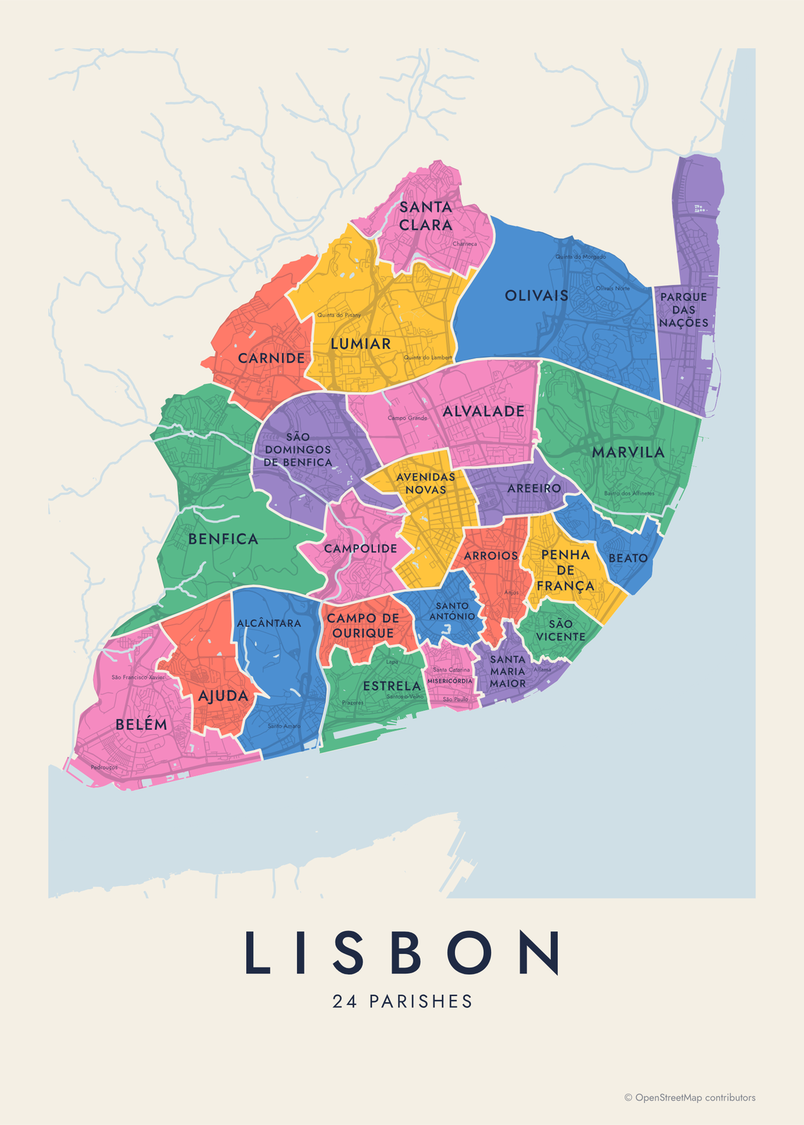
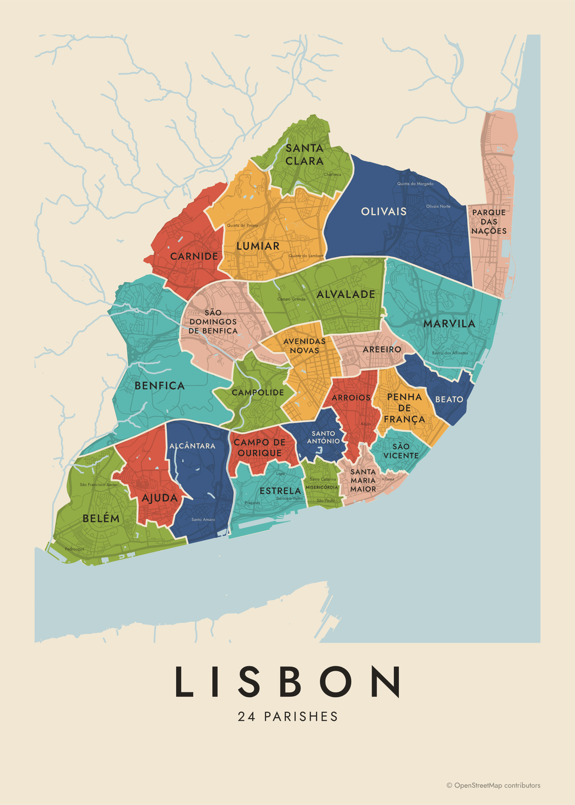 Lisbon neighborhood mapall 24 freguesias, named
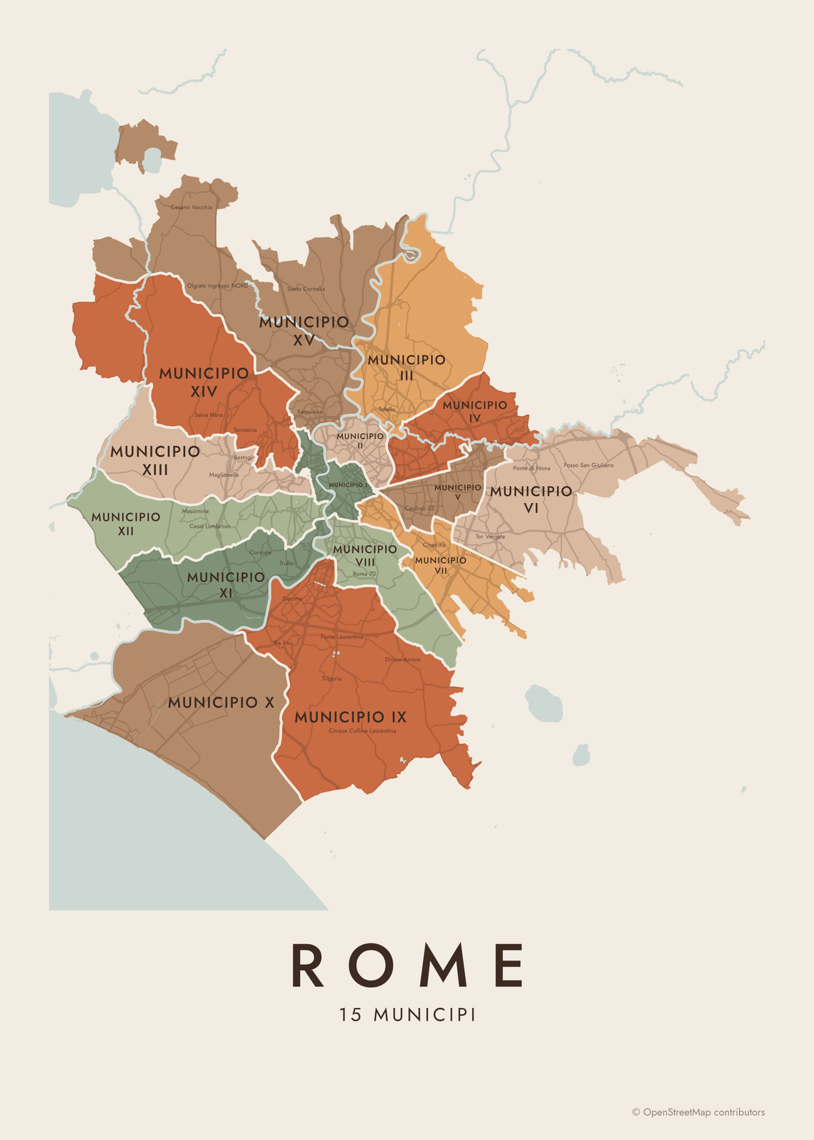 Rome neighborhood map15 municipi, 110 rioni and quartieri
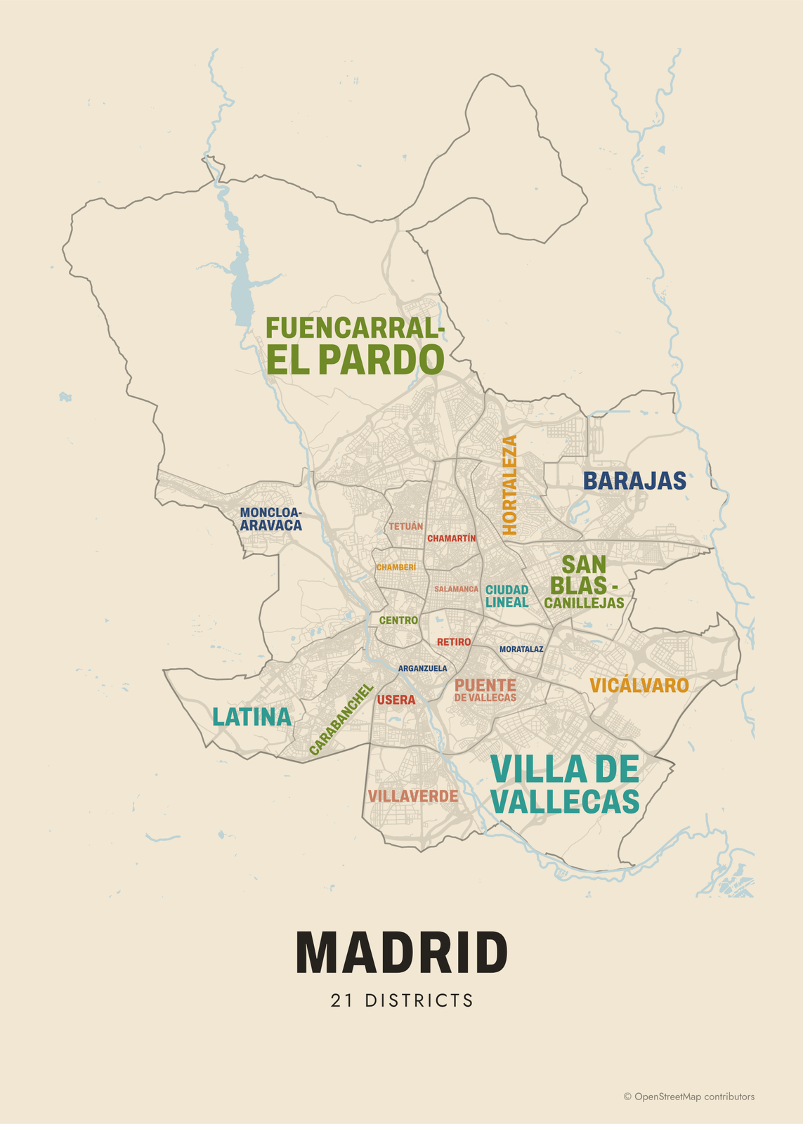
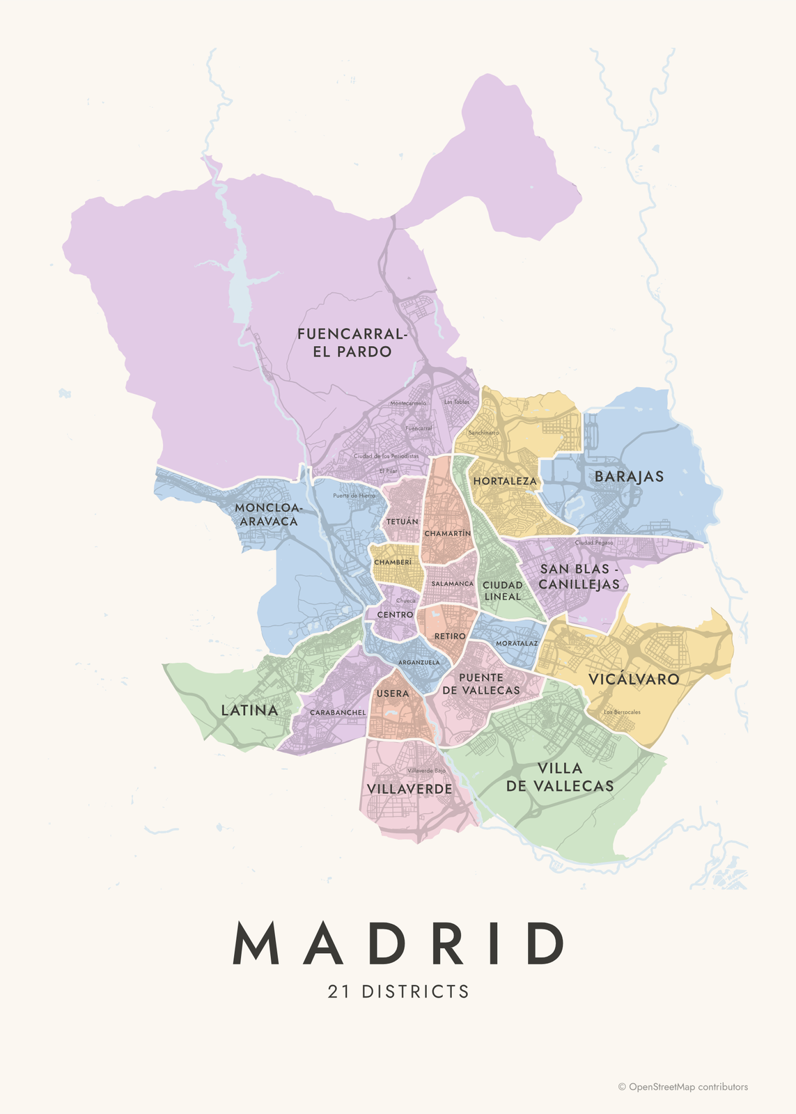 Madrid neighborhood map21 districts and 131 barrios, named
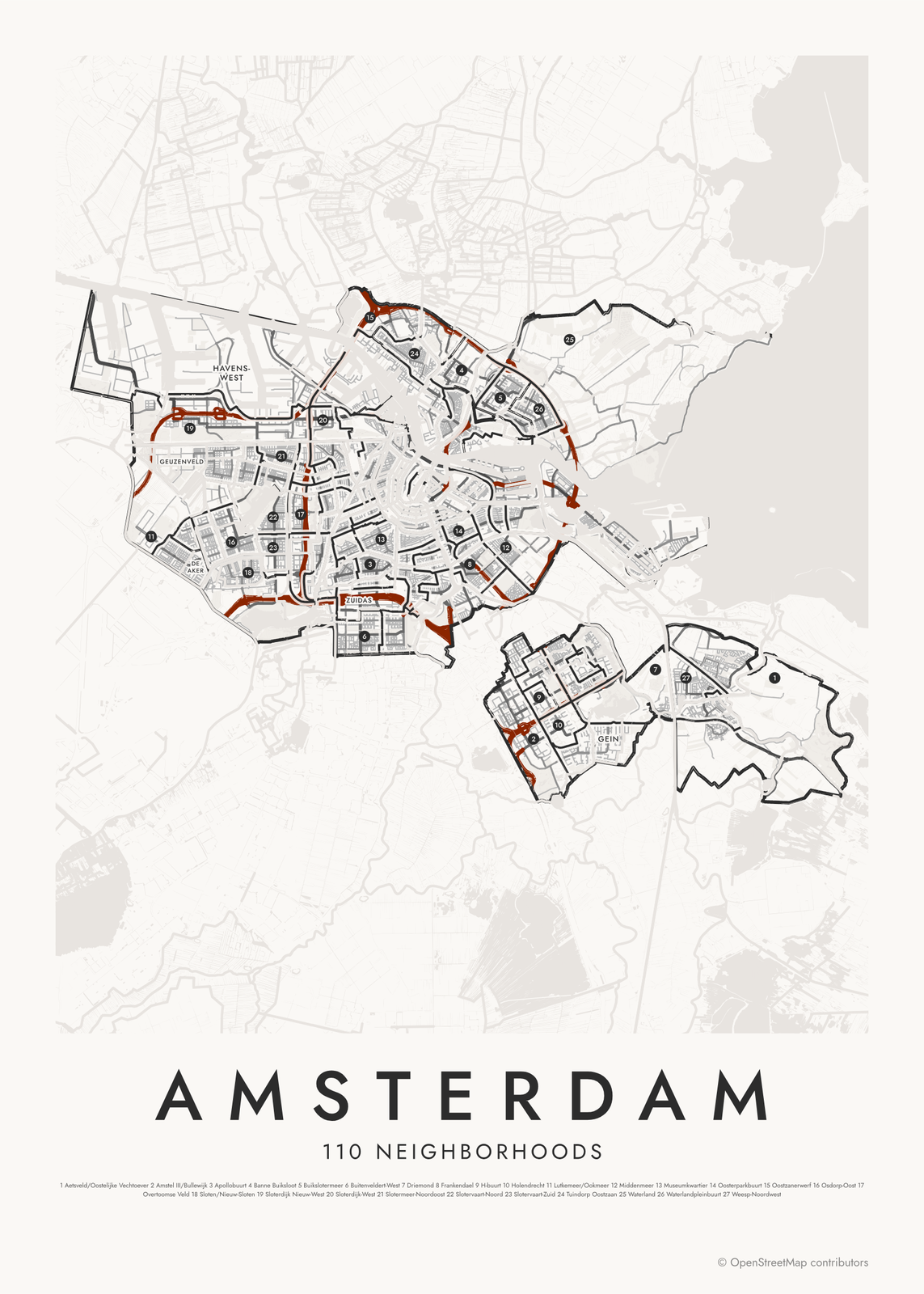
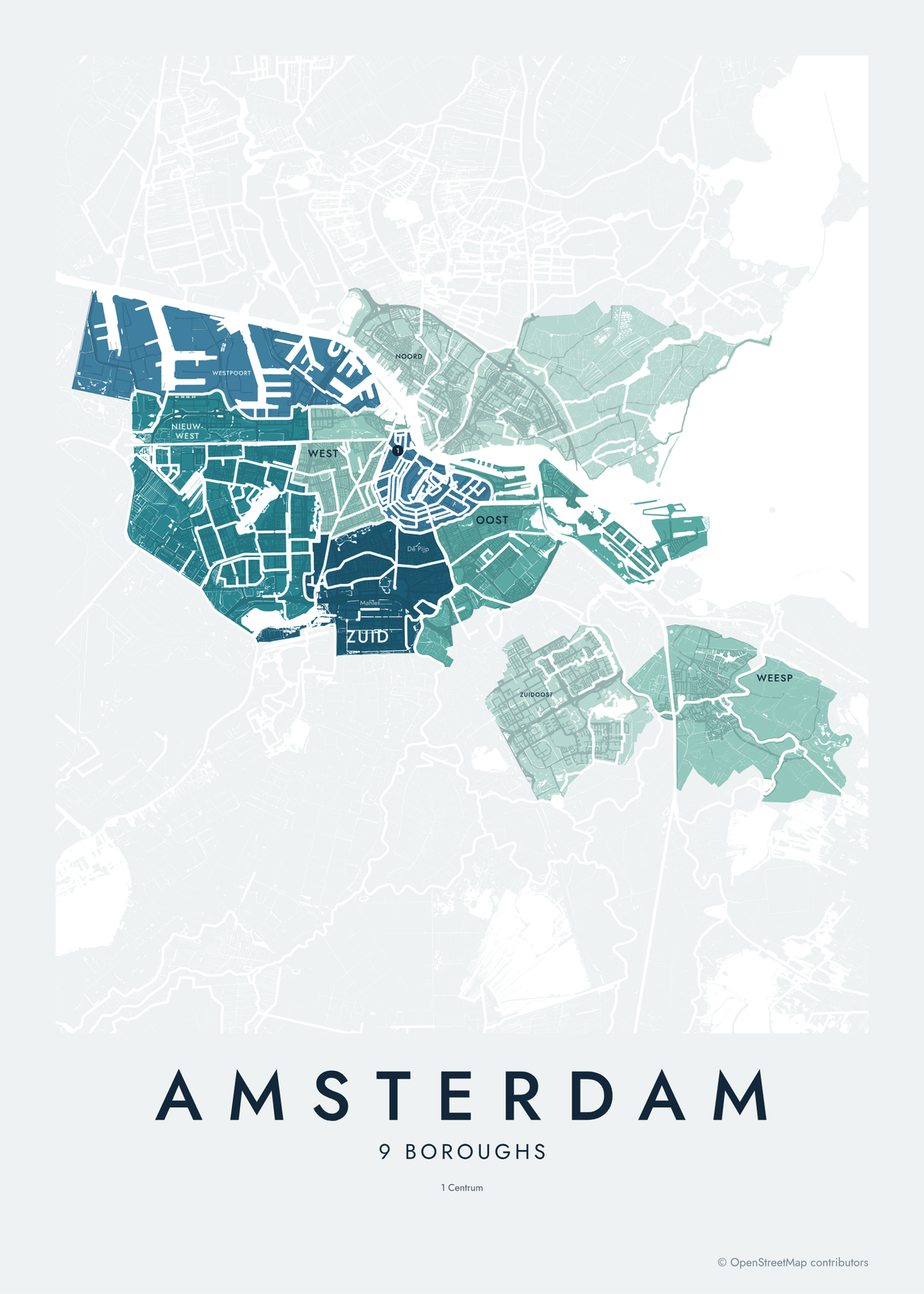 Amsterdam neighborhood mapboroughs and 110 wijken, named
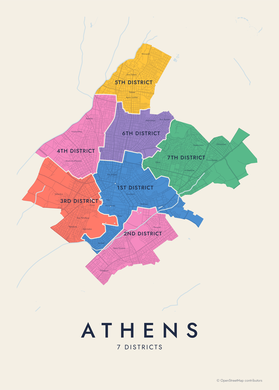 Athens neighborhood map7 districts, with Plaka, Kolonaki and more
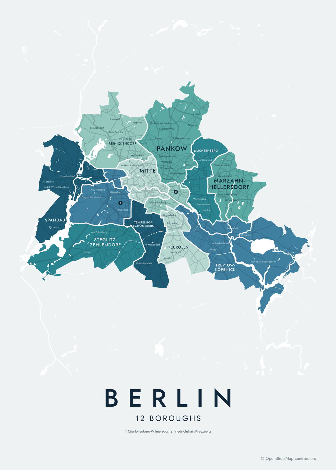
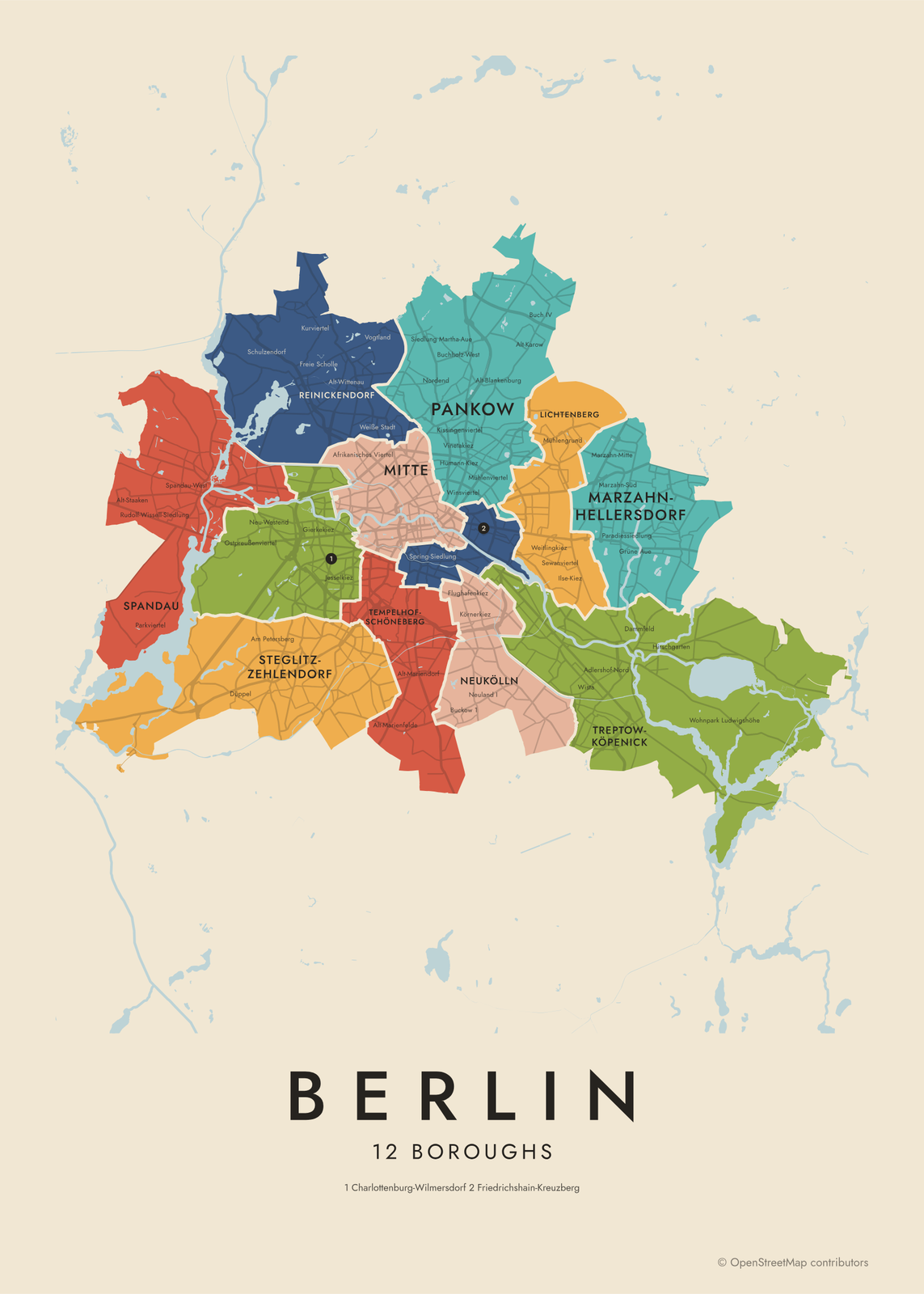 Berlin neighborhood map12 boroughs and 97 Ortsteile, named
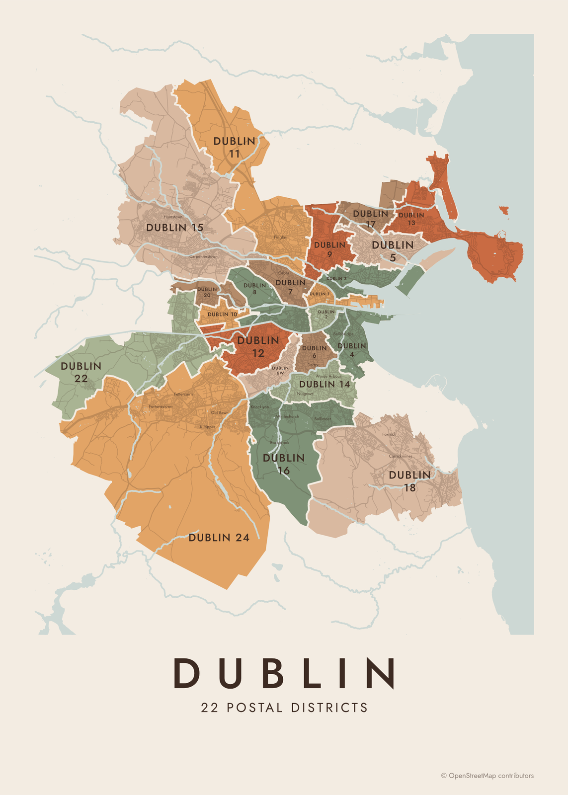 Dublin neighborhood mapDublin 1 to Dublin 24, all 22 districts
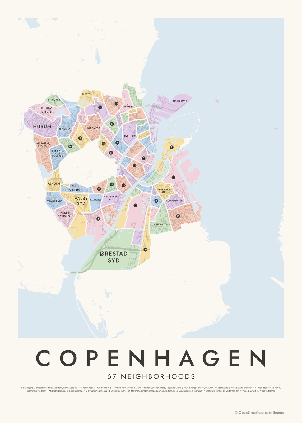 Copenhagen neighborhood mapall 67 kvarterer, named
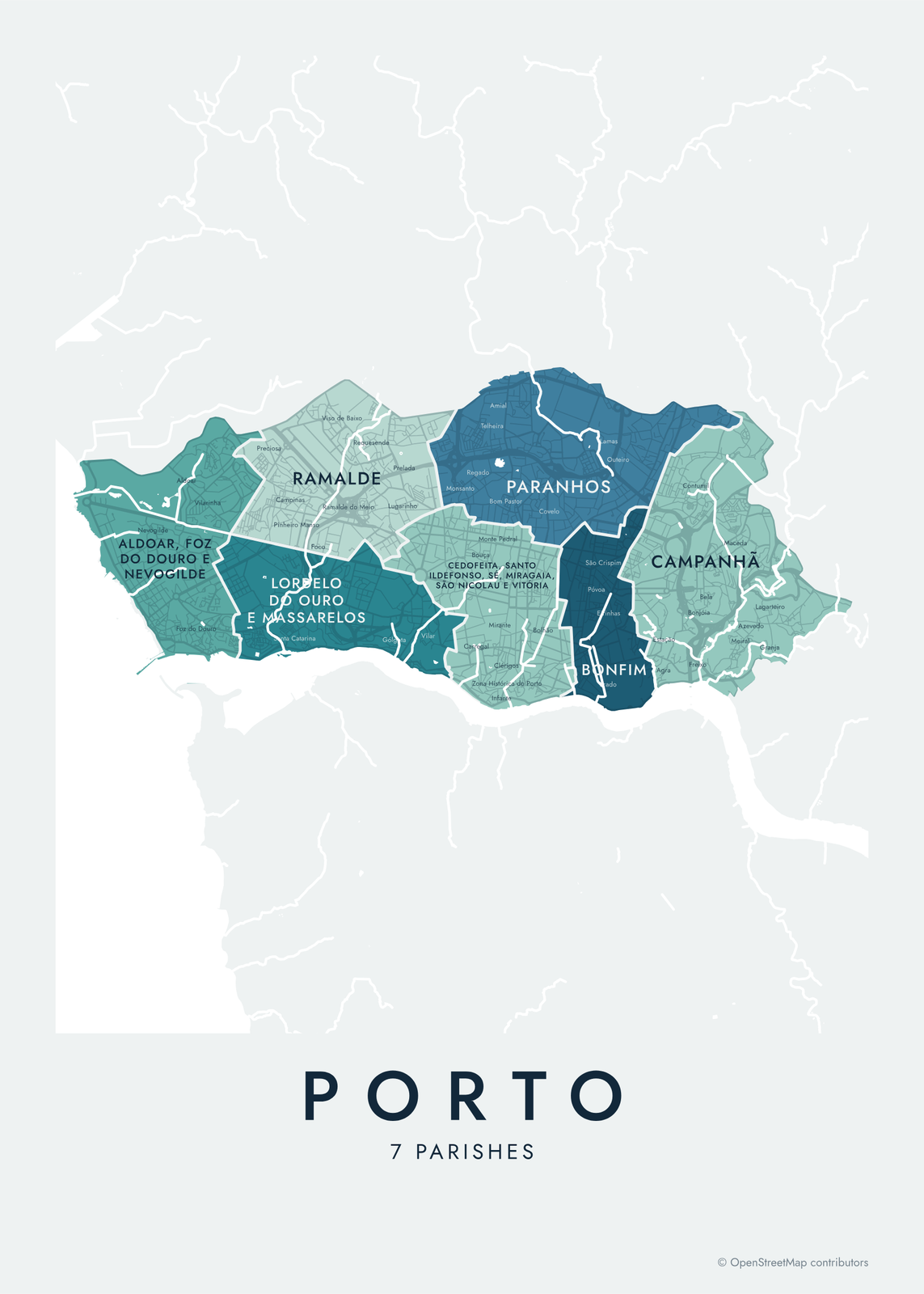 Porto neighborhood mapall 7 parishes, from Foz to Campanhã
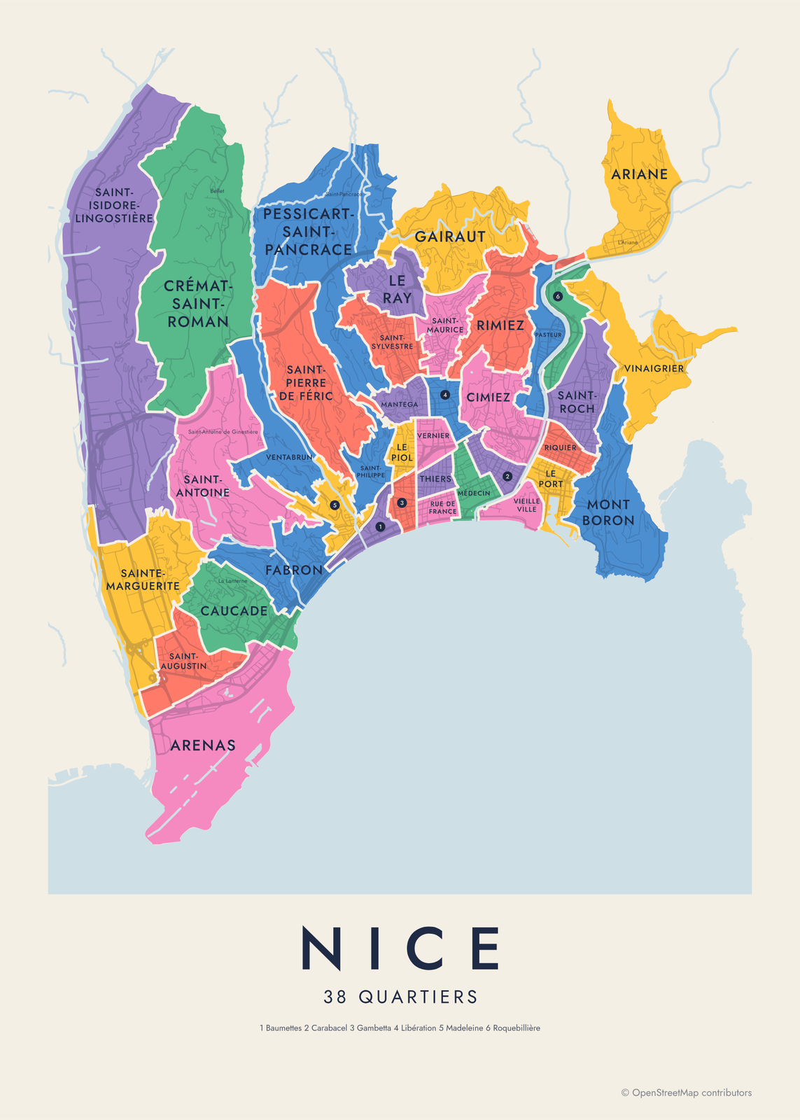 Nice neighborhood map38 quartiers and 146 neighborhoods, named
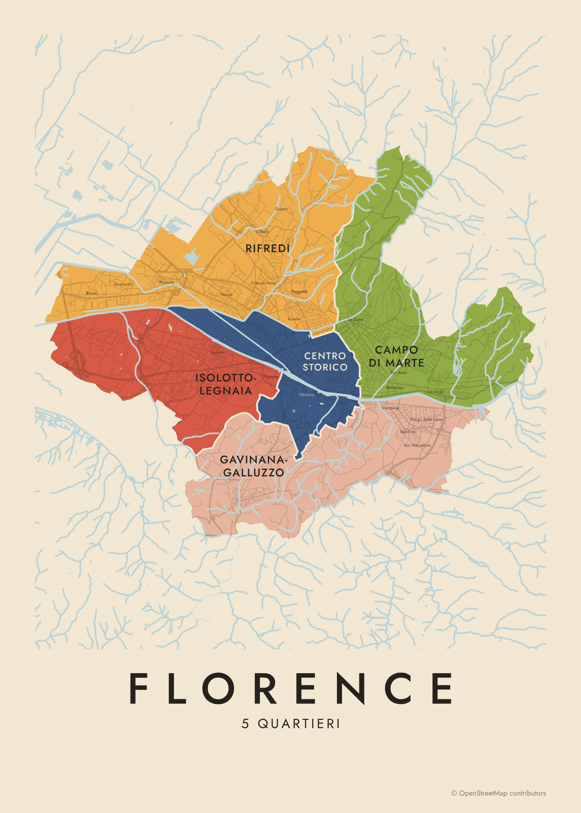 Florence neighborhood mapthe five quartieri, named
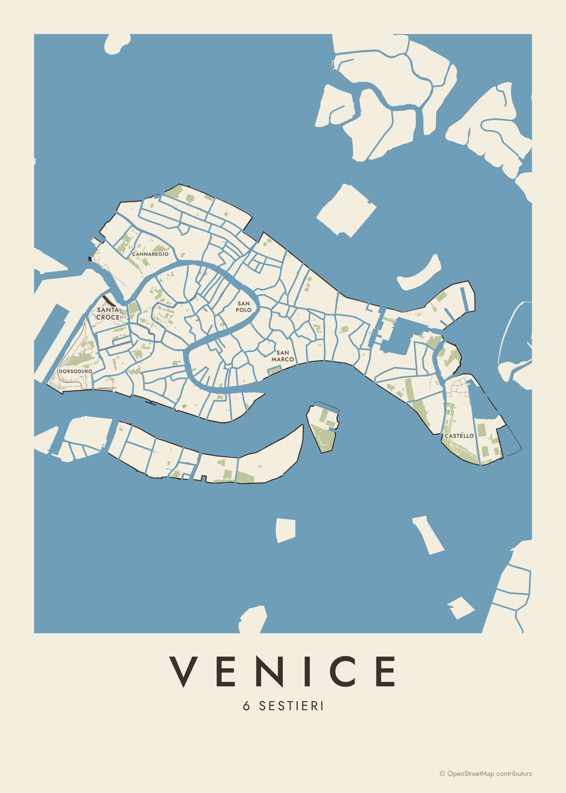
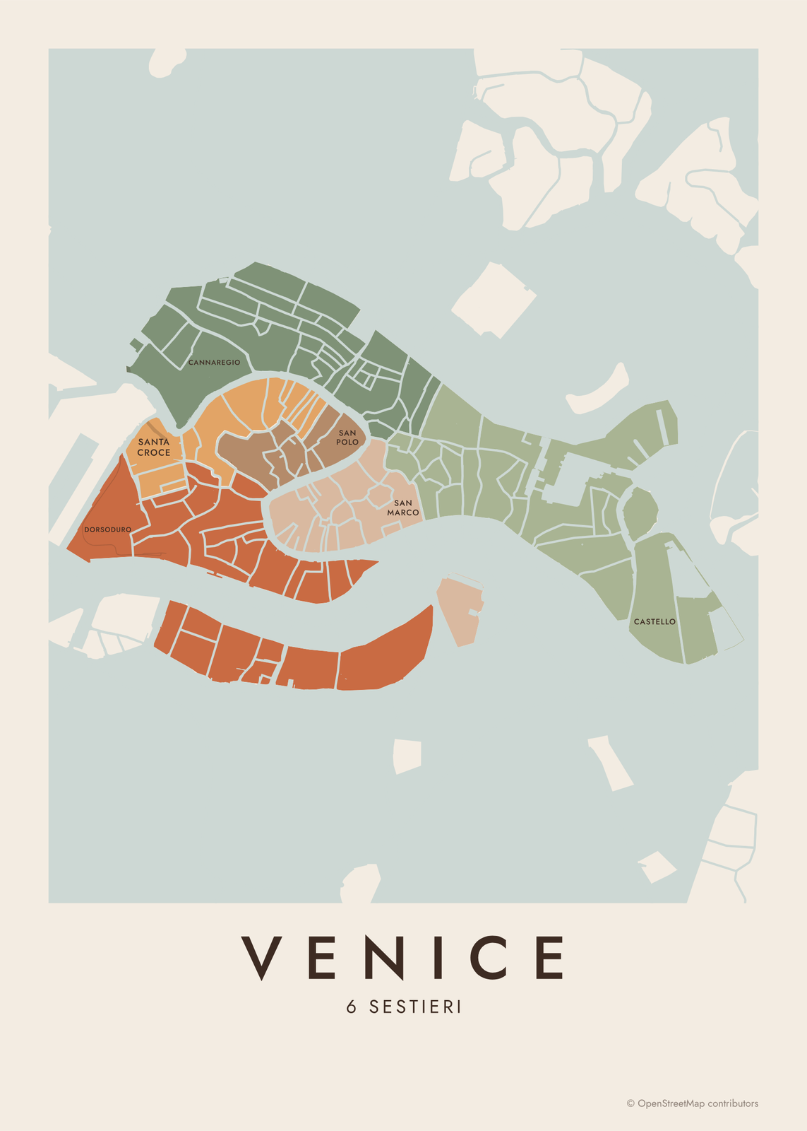 Venice neighborhood mapthe six sestieri, named
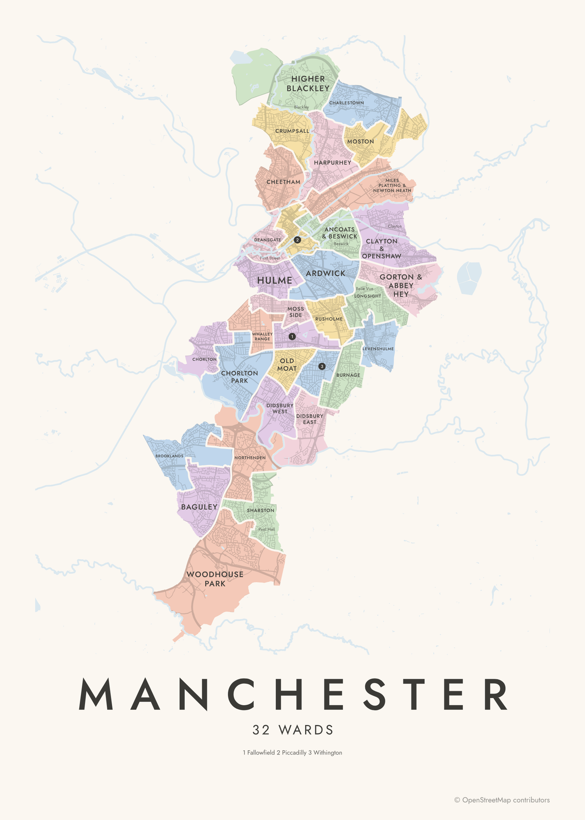 Manchester neighborhood mapall 32 wards, named
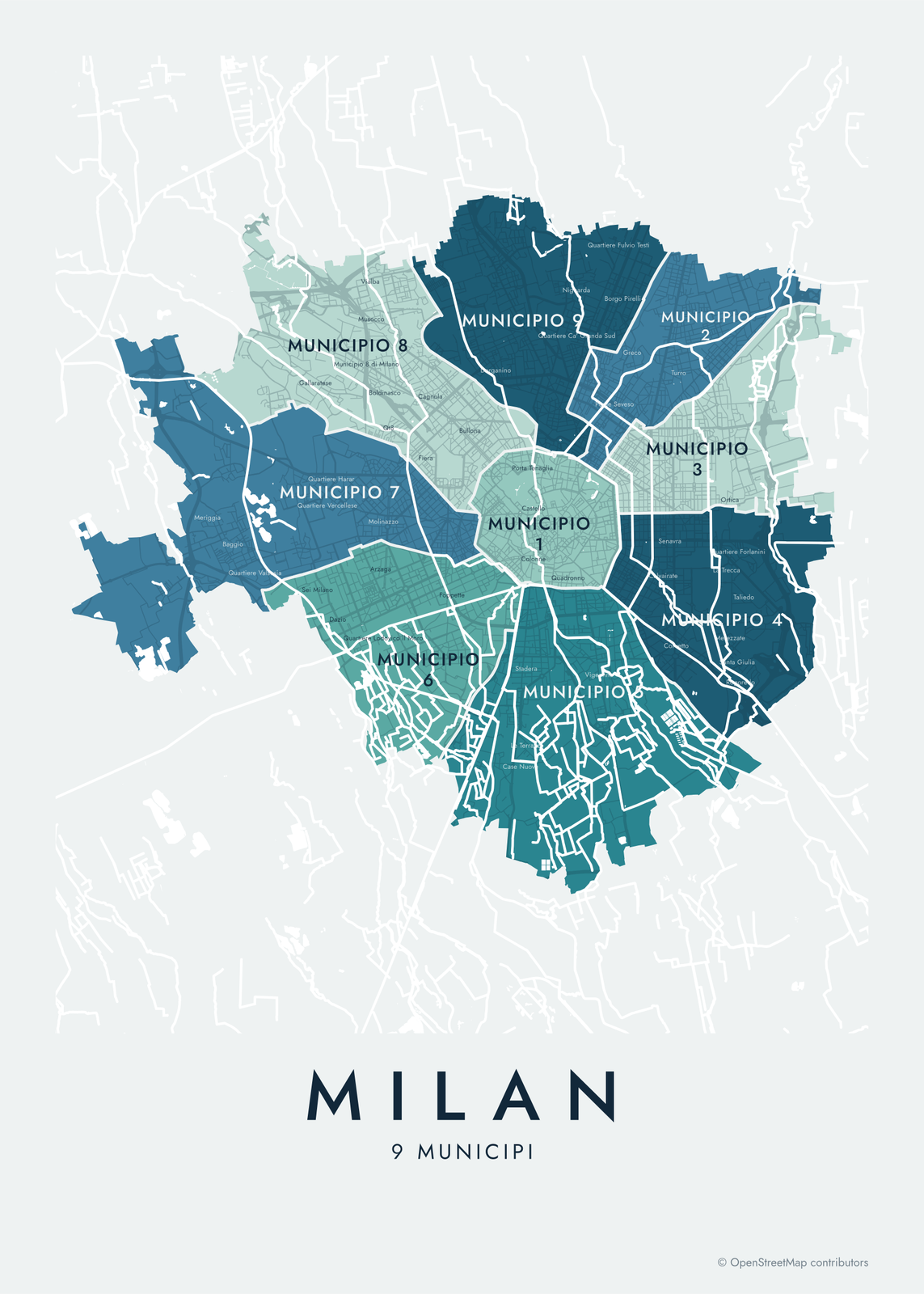 Milan neighborhood map9 municipi and 88 neighborhoods, named
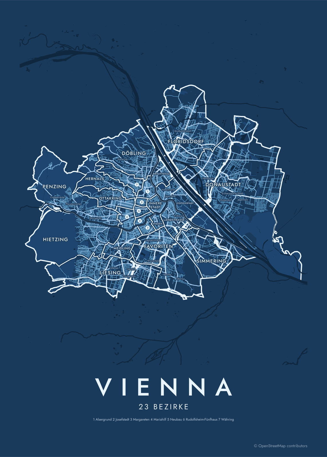
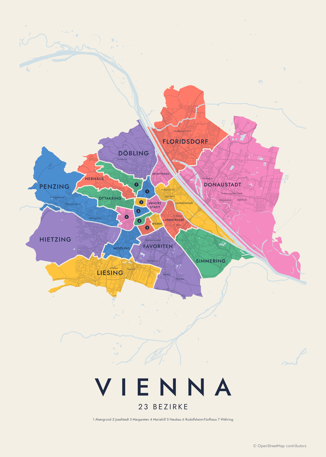 Vienna districts map23 Bezirke, 89 old villages and suburbs
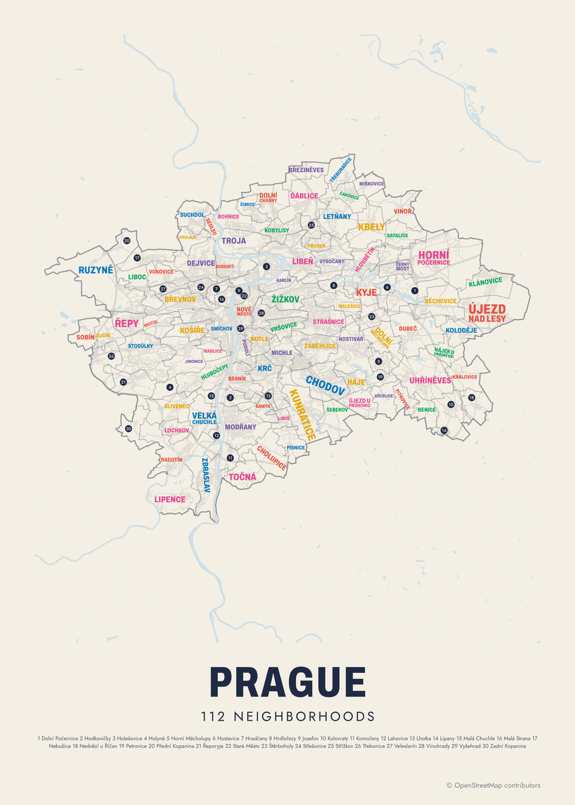
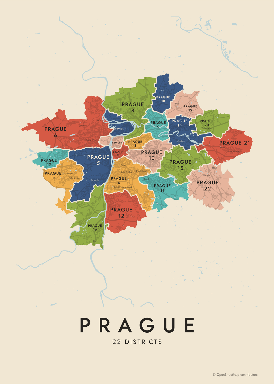 Prague neighborhood mapPrague 1 to 22, and 112 neighborhoods
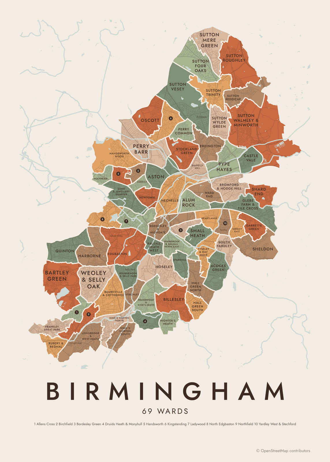 Birmingham neighborhood mapall 69 wards of Birmingham, England
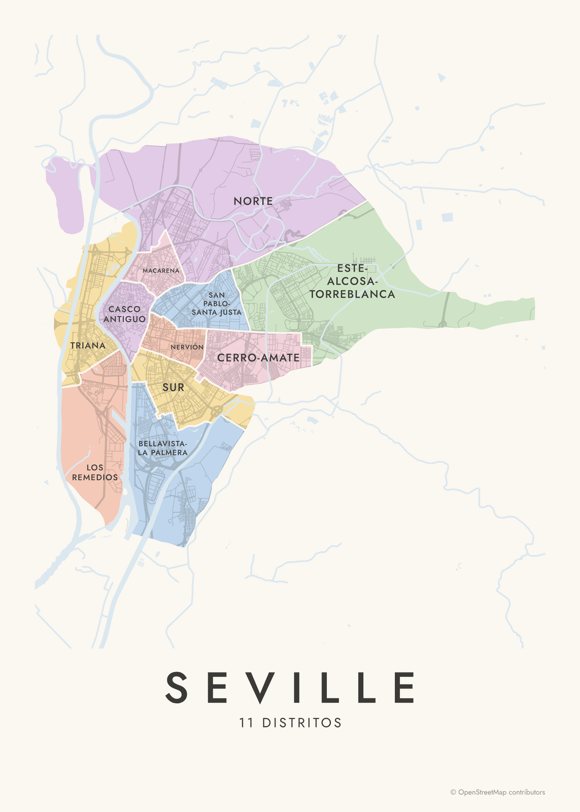 Seville neighborhood map11 districts and 108 barrios, named
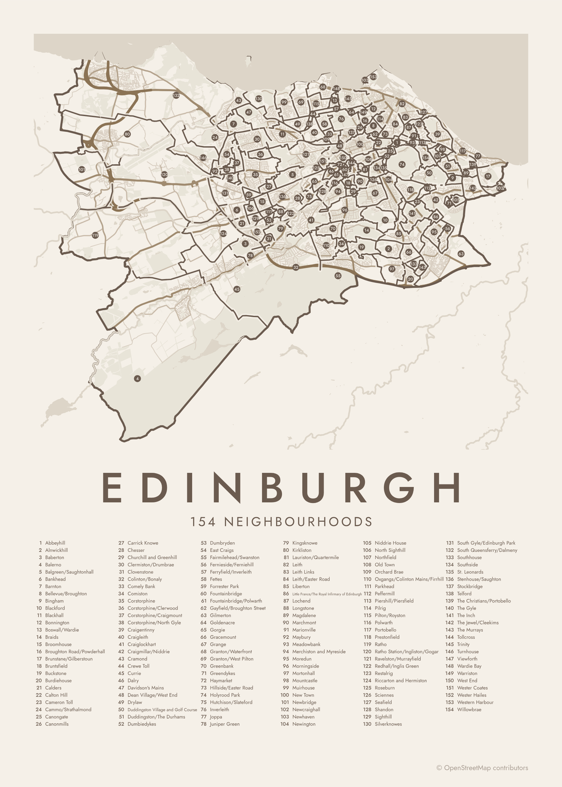
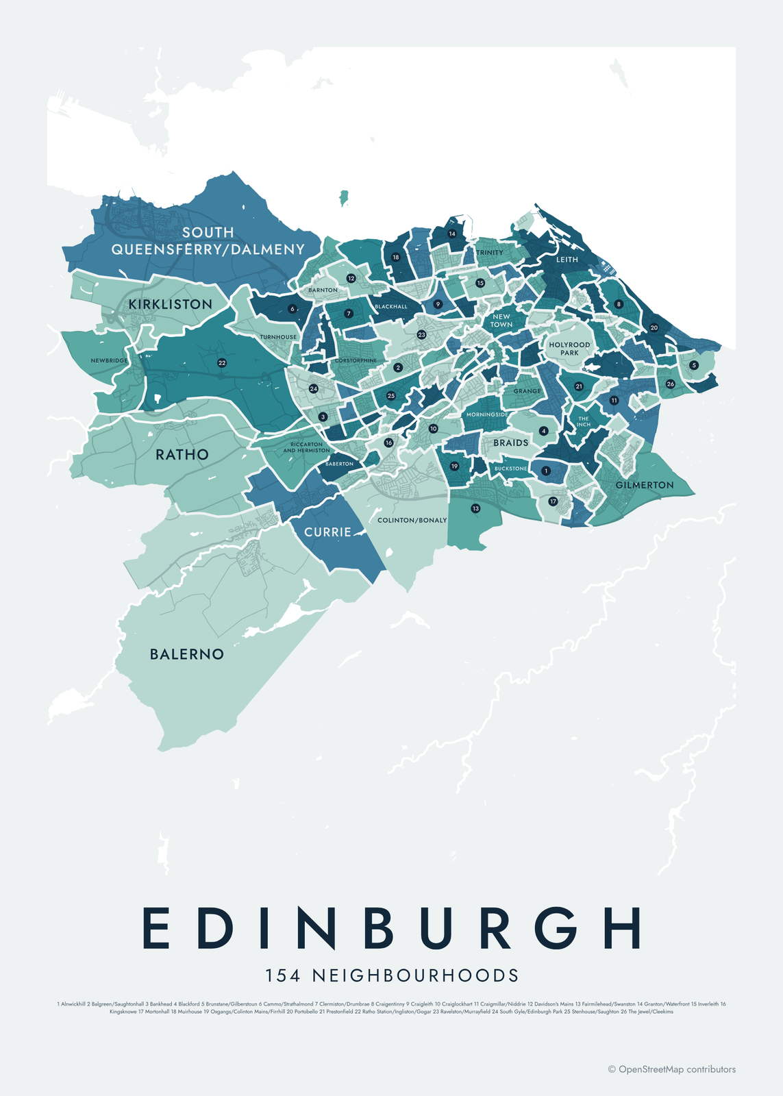 Edinburgh neighborhood mapall 154 Natural Neighbourhoods, named
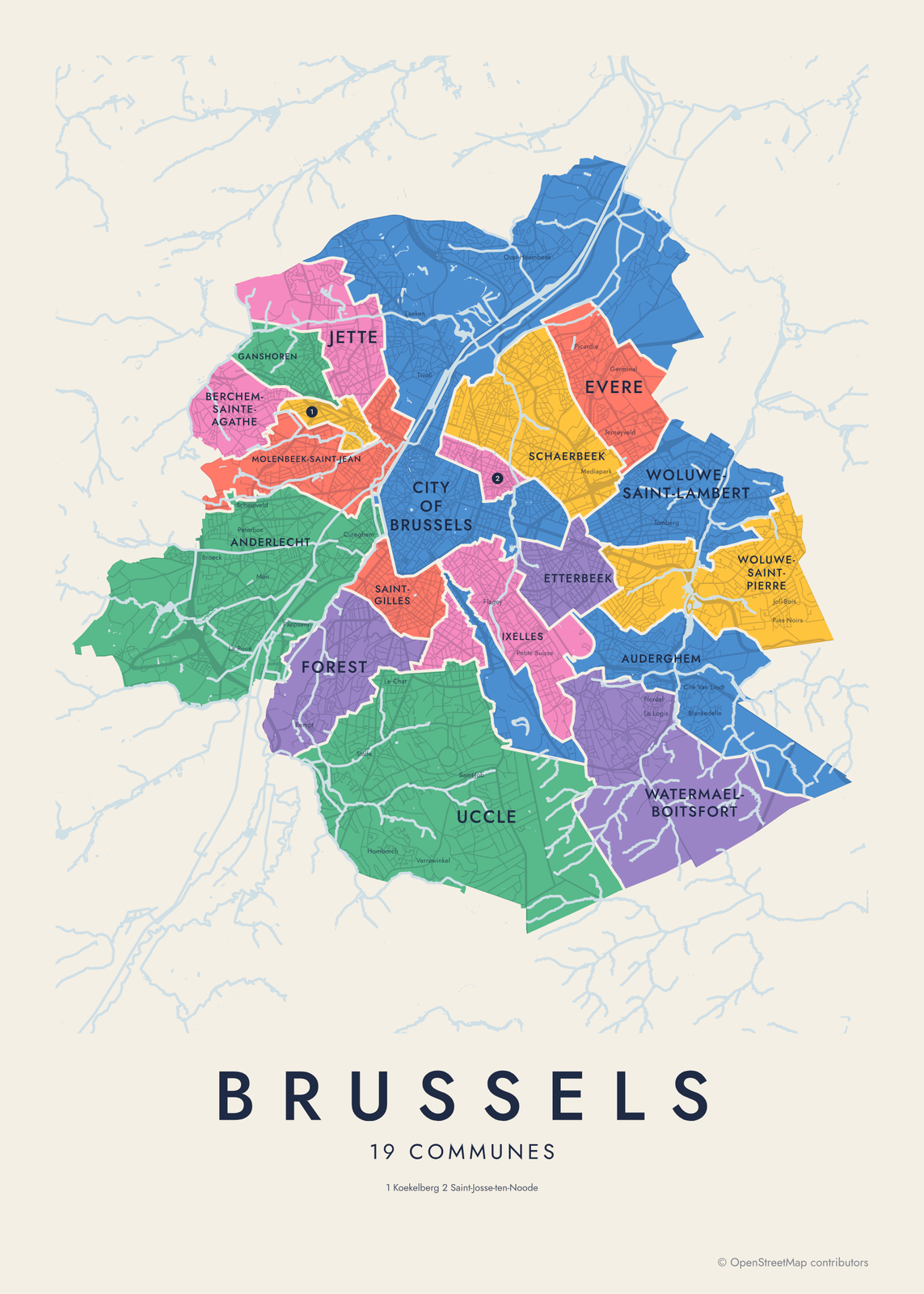 Brussels neighborhood map19 communes and 145 quartiers, named
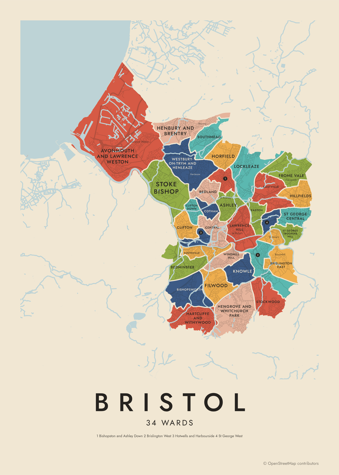 Bristol neighborhood mapall 34 wards, named
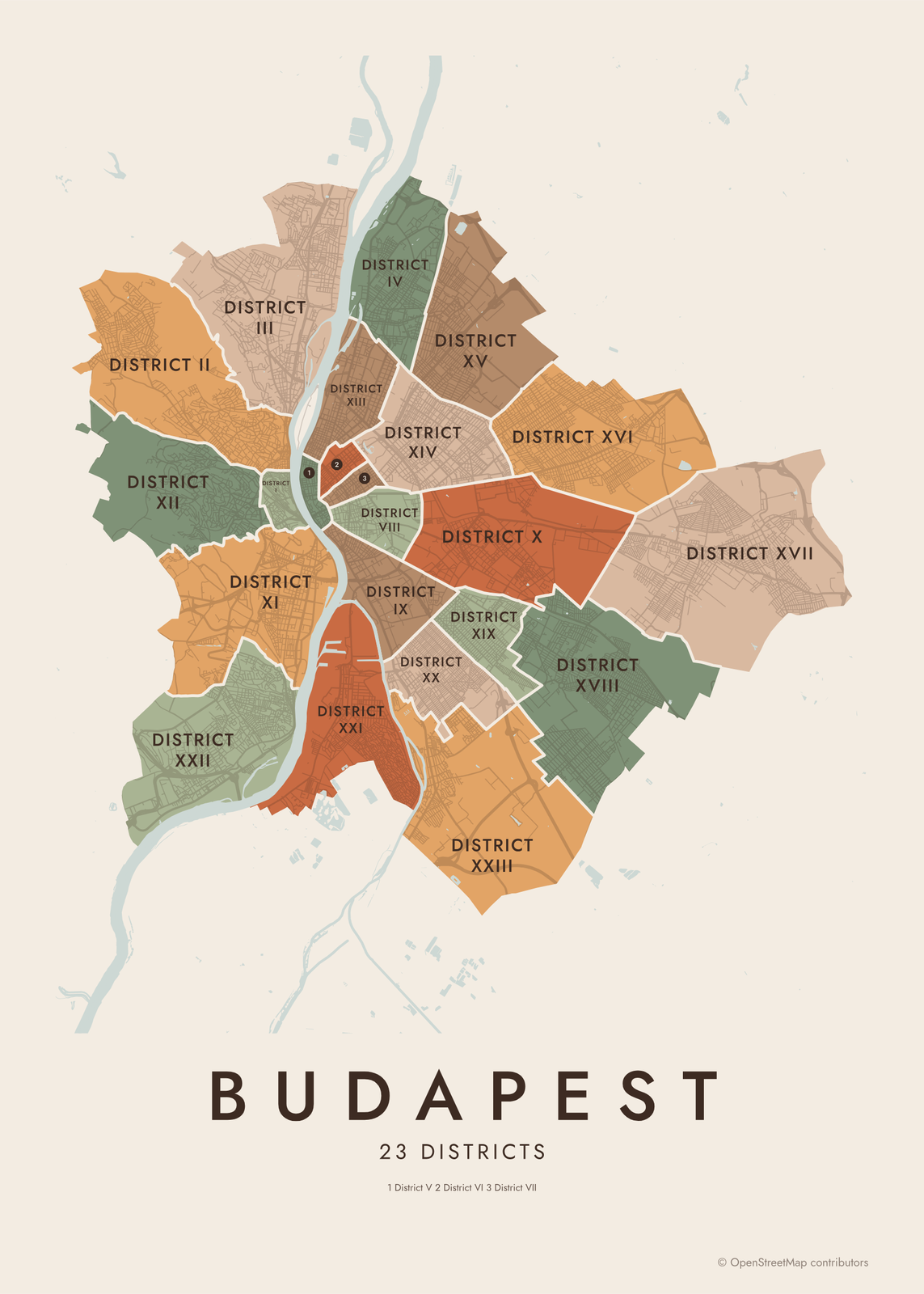 Budapest districts mapDistrict I to XXIII, and 202 neighborhoods
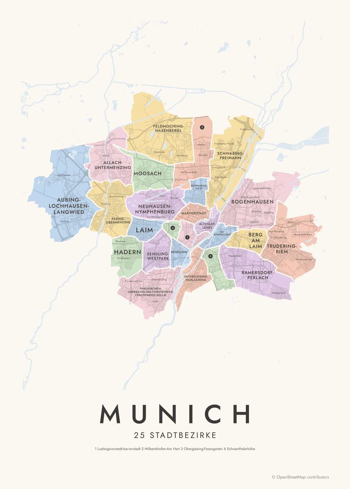 Munich neighborhood mapall 25 Stadtbezirke, named
On the wall
A few of them framed at home. Open any one to make it yours.
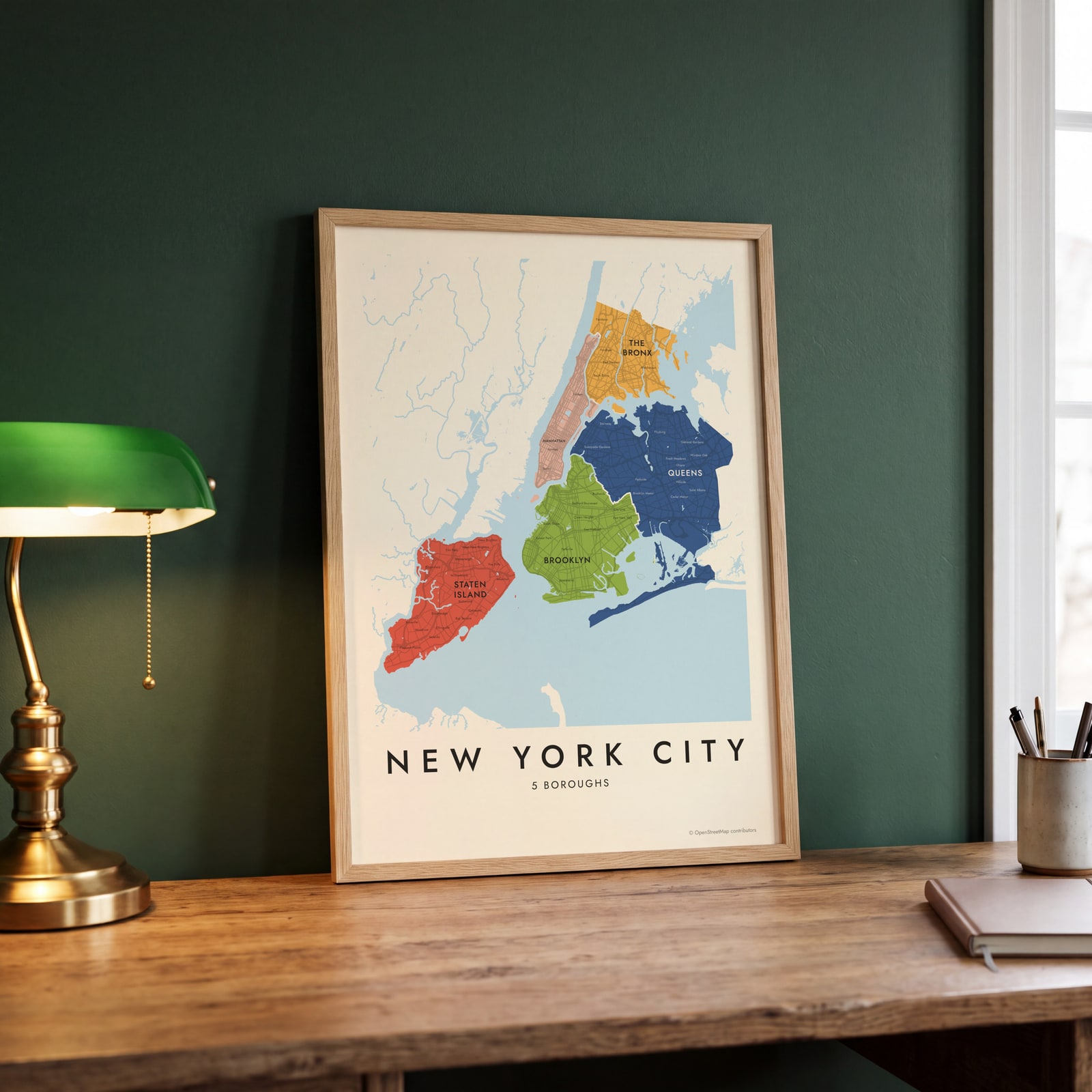 New York City neighborhood map in color, every borough namedEdit this →
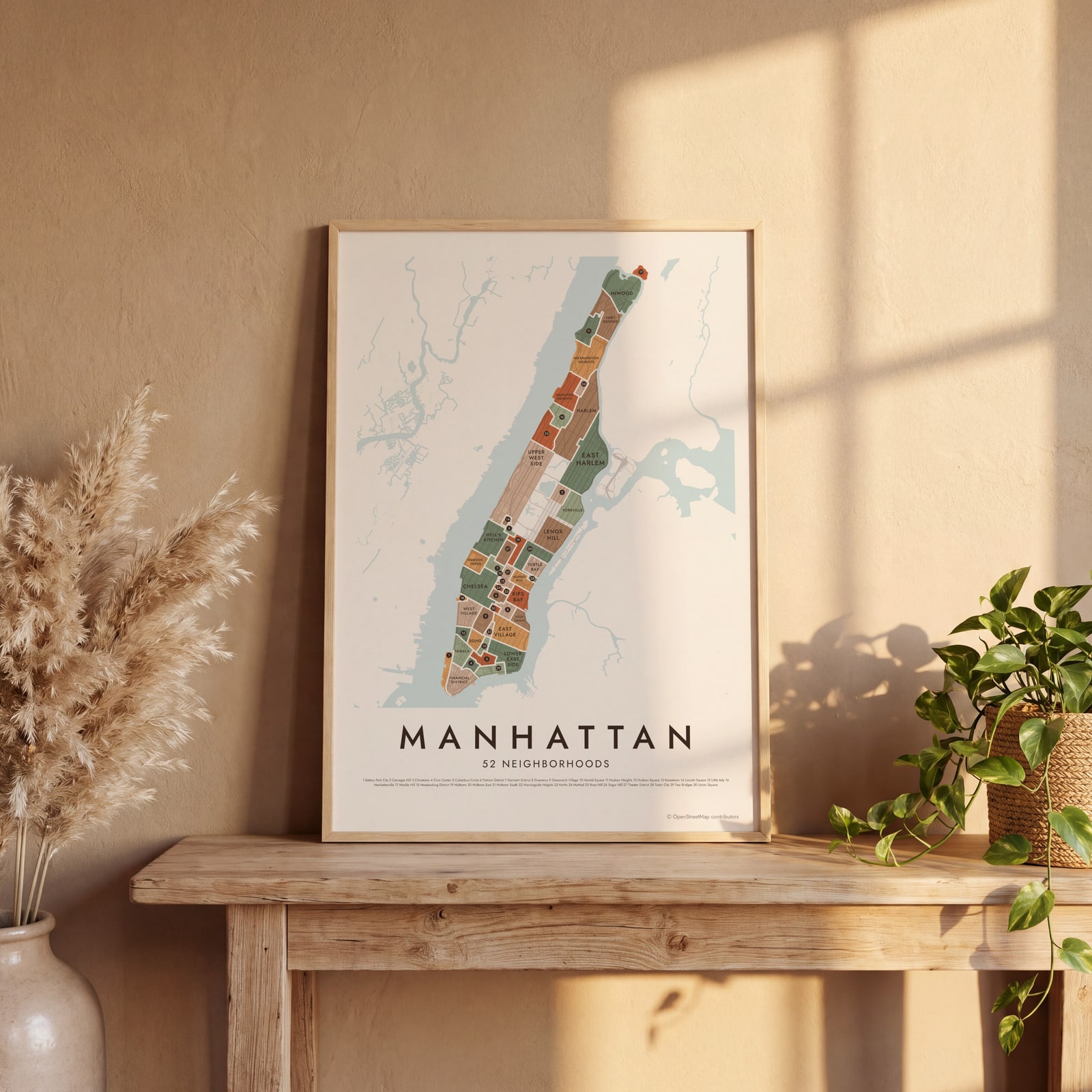 Manhattan neighborhood map in color, every neighborhood namedEdit this →
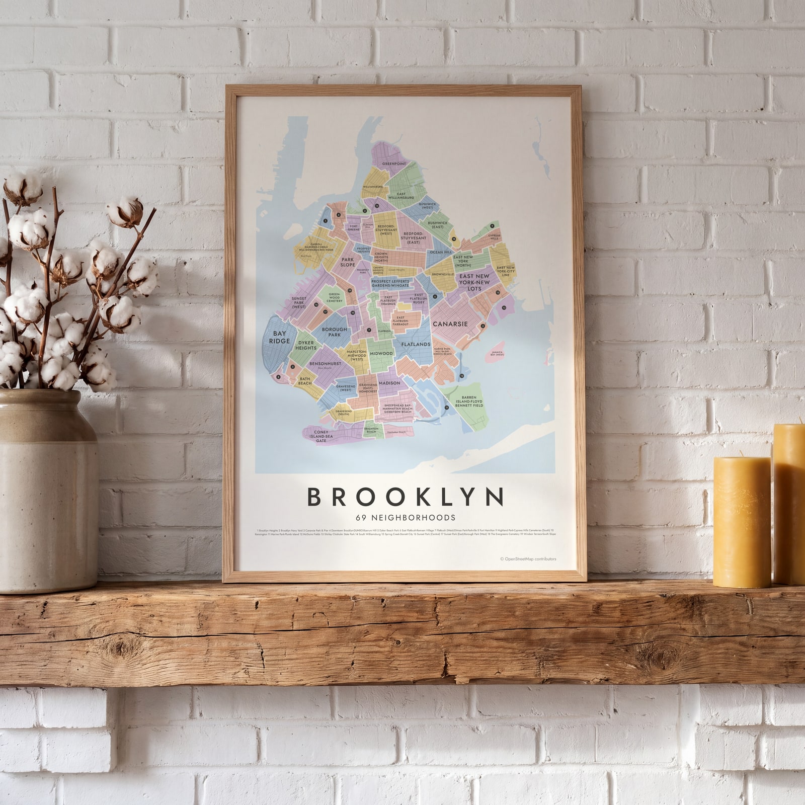 Brooklyn neighborhood map in color, every neighborhood namedEdit this →
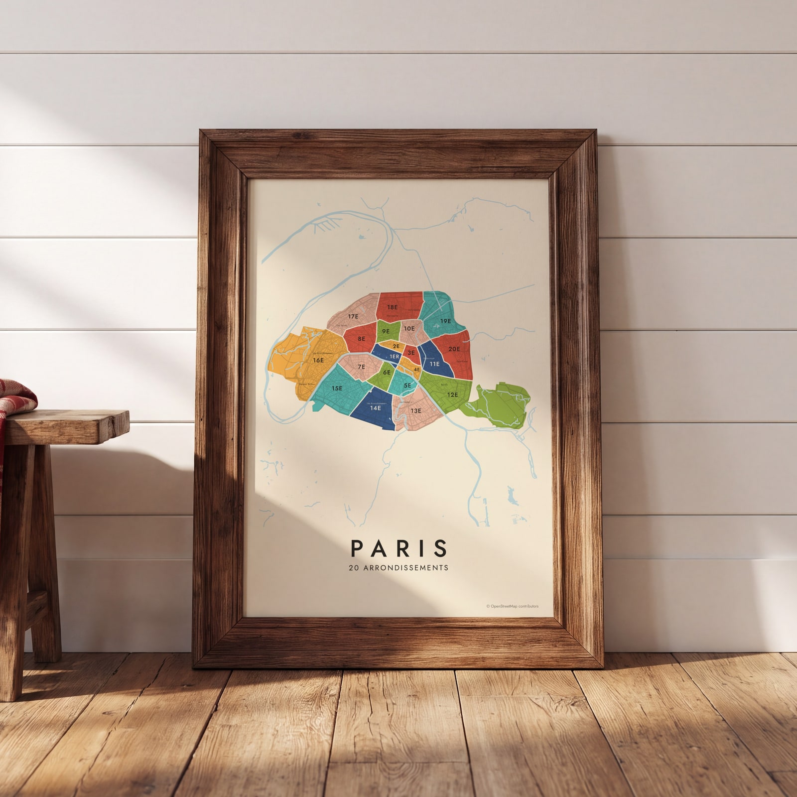 Paris arrondissements, mid-centuryEdit this →
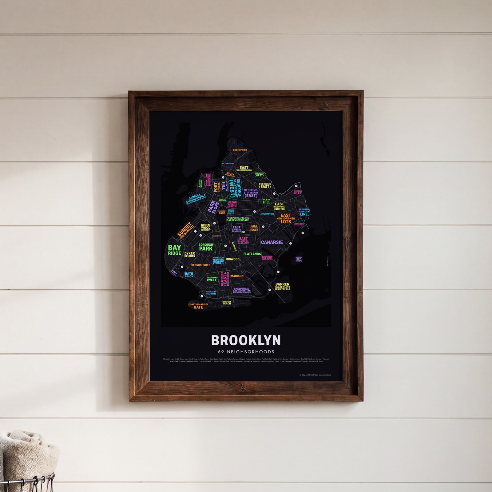 Brooklyn in neon typeEdit this →
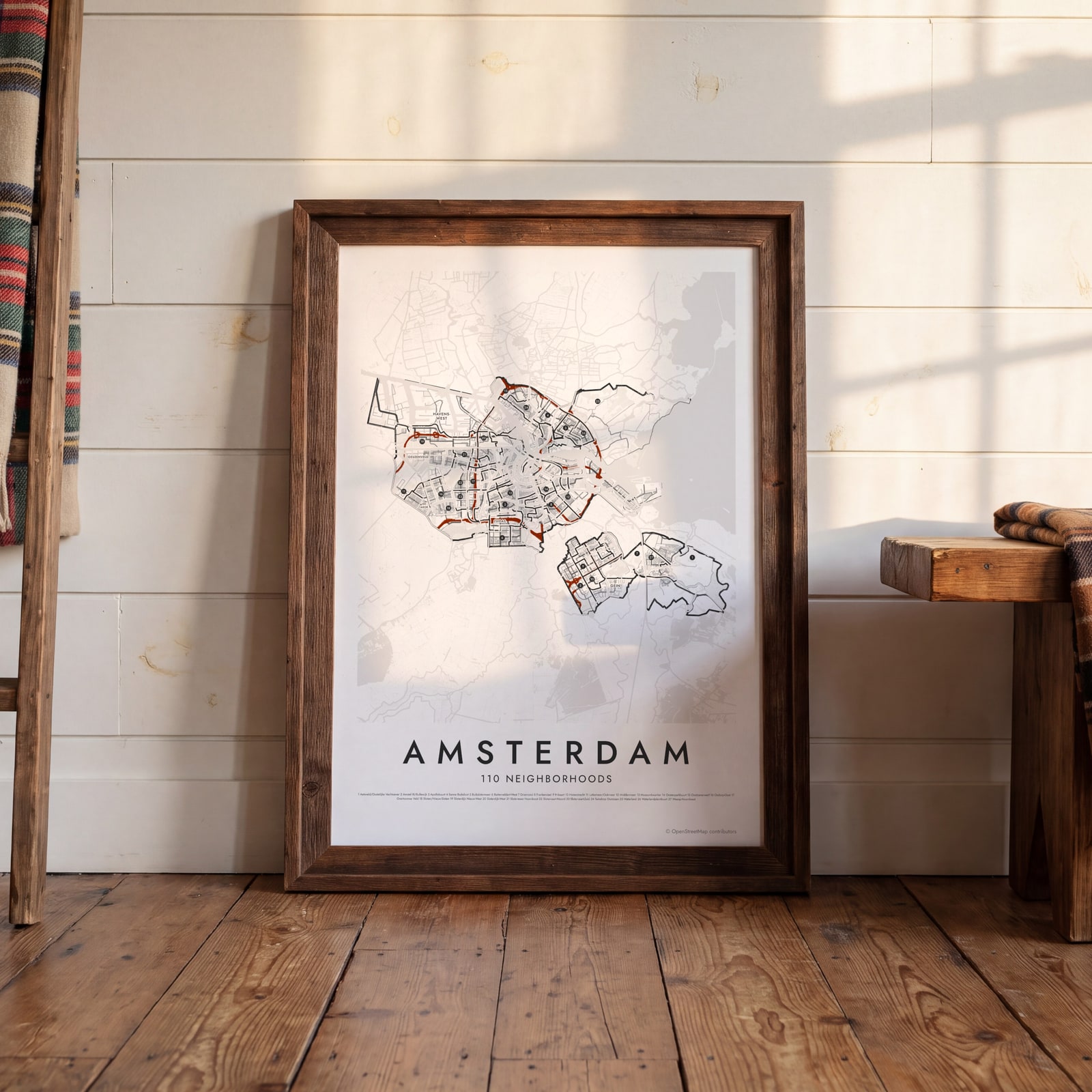 Amsterdam's wijken over Japanese ink streetsEdit this →
Examples
Open any of them to change the words, the place, the date and the style, then download the print file.
 Chicago neighborhood map in color, every community area namedEdit this →
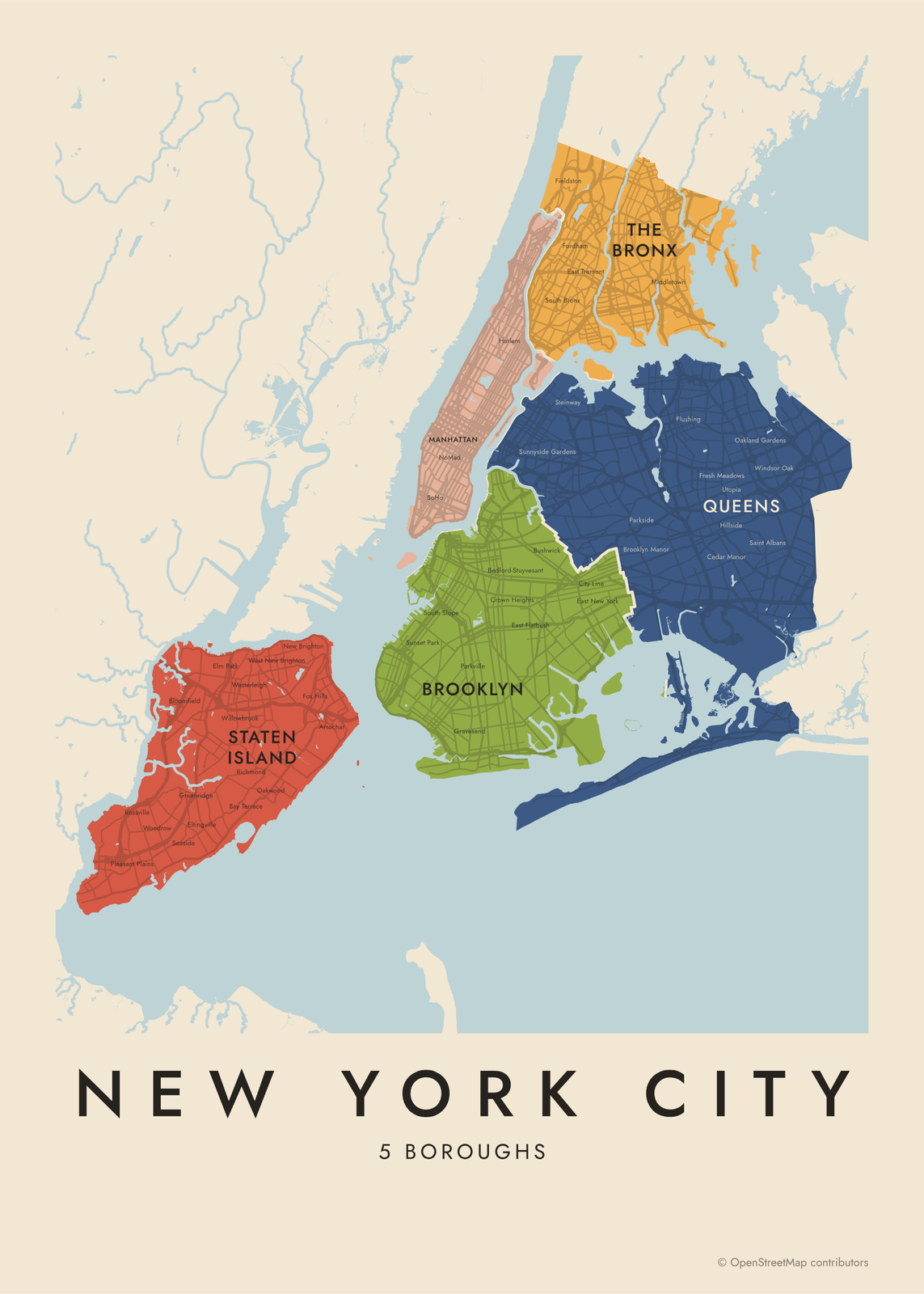 New York City neighborhood map in color, every borough namedEdit this →
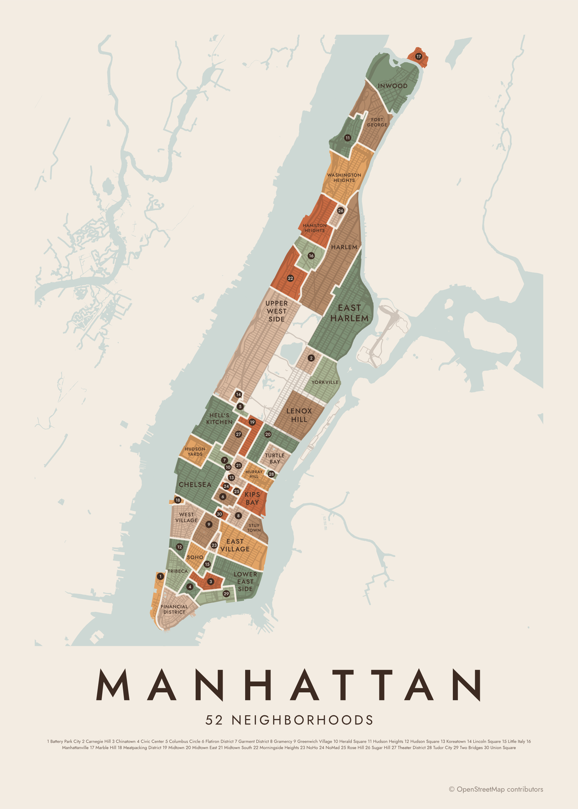 Manhattan neighborhood map in color, every neighborhood namedEdit this →
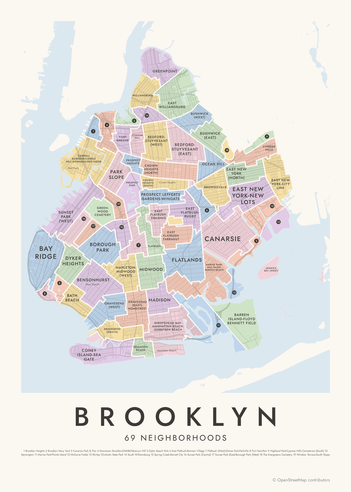 Brooklyn neighborhood map in color, every neighborhood namedEdit this →
Colored
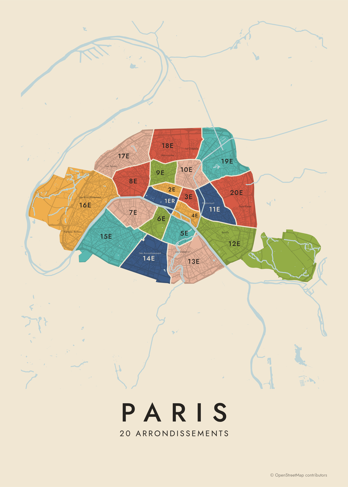
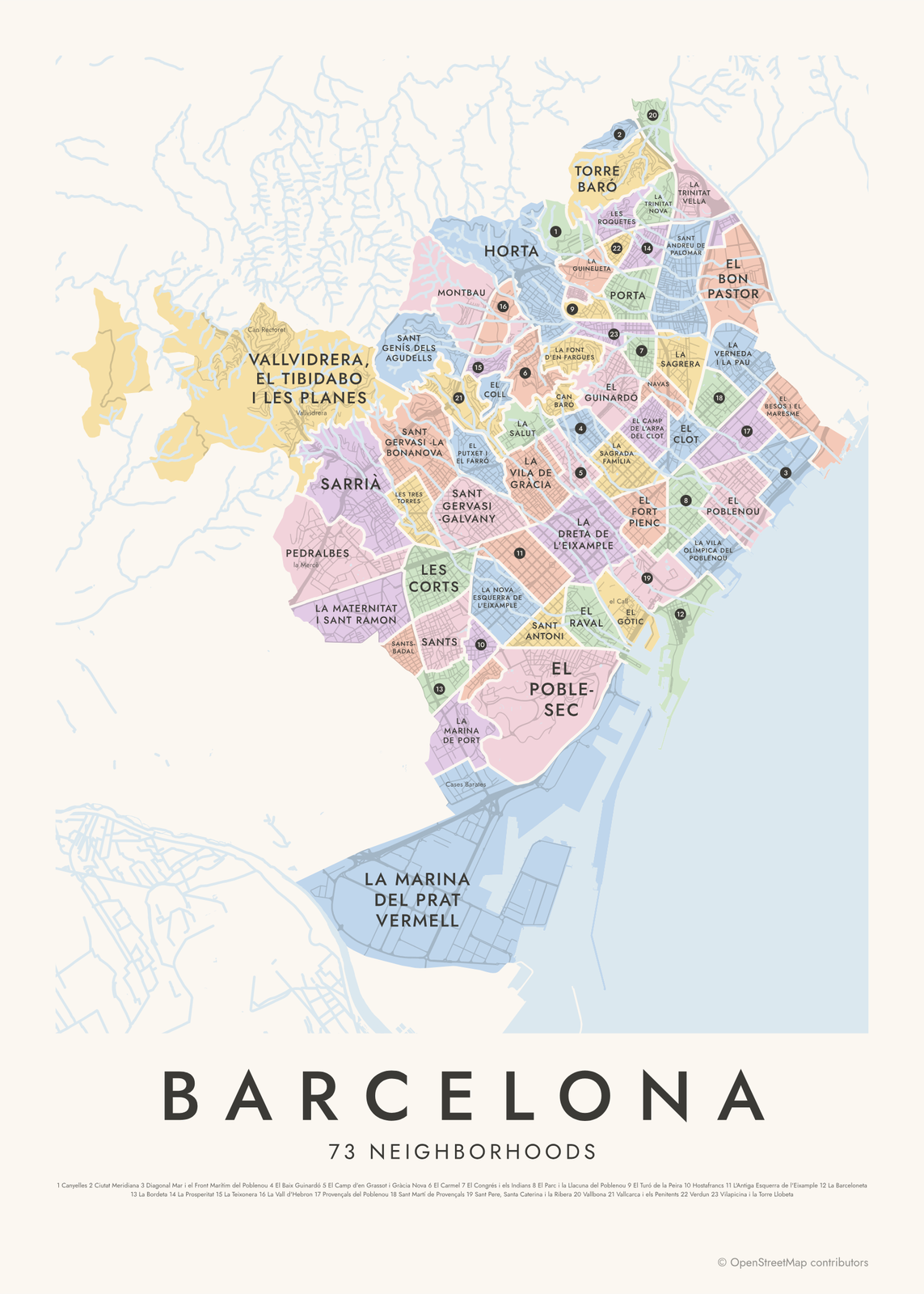
Typographic
Street maps
Your neighborhood, highlighted
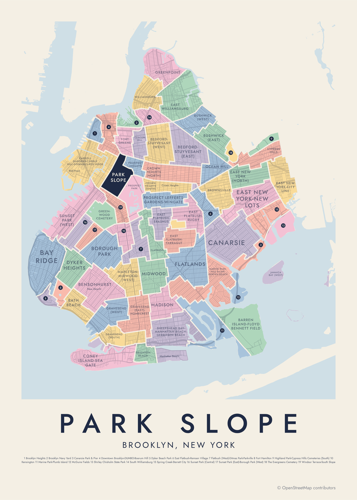
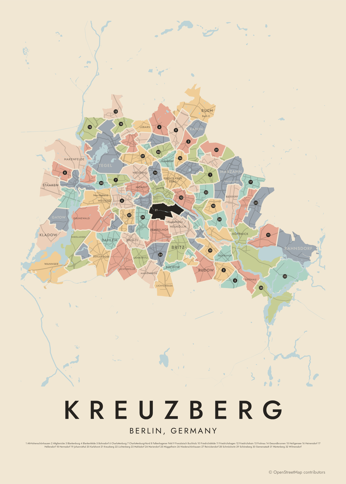
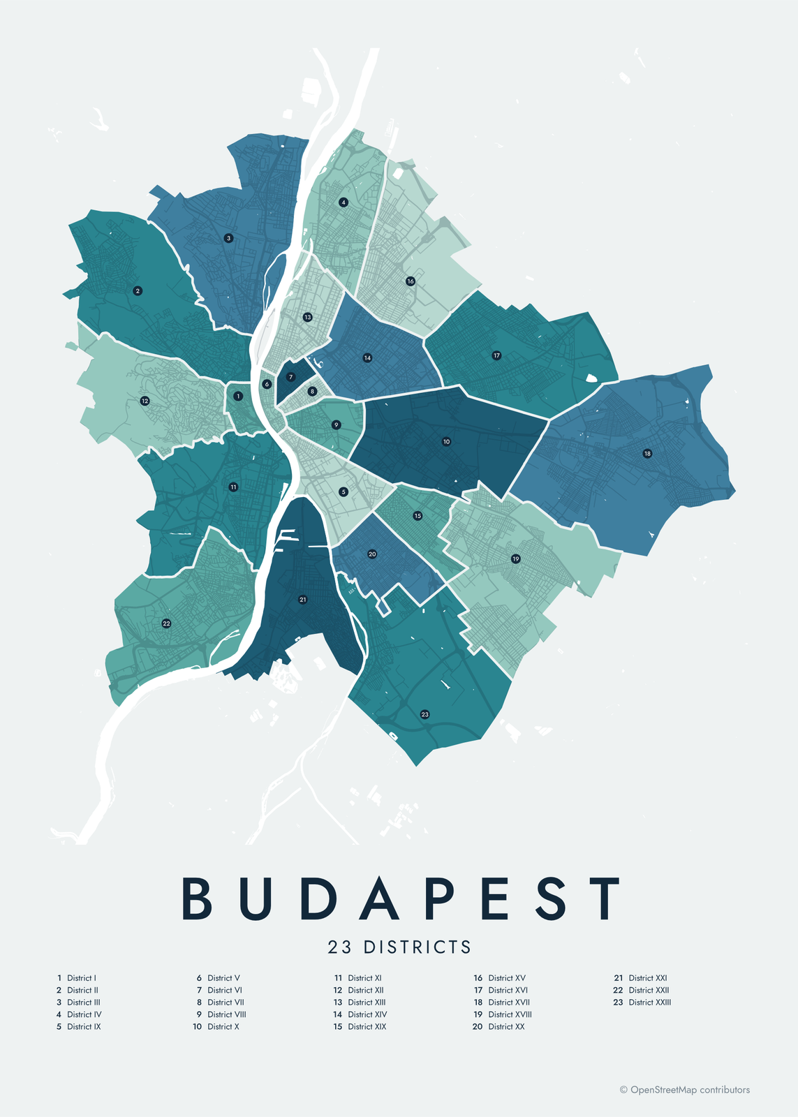
Reference: every area numbered
Three ways to draw a city
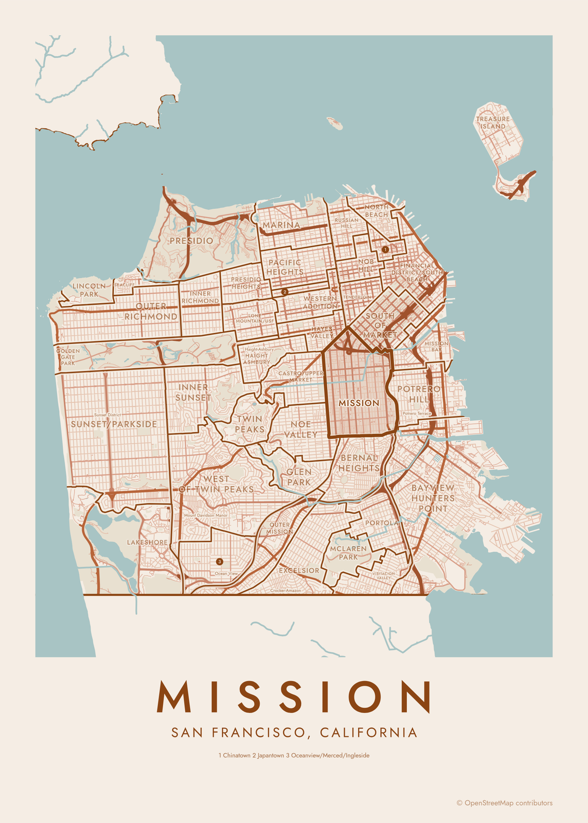
Colored: every area in its own color, neighbors never alike, with the names in clean capitals and the streets faint underneath. Typographic: the names themselves fill the map, as big as each area allows, turned along its long side. Street map: the city's streets in a City Map style, with the borders on top and the names in between.
Any of them can number the areas instead and list every name below the map, like a reference map.
Make it yours
Tap your own neighborhood to highlight it: it takes the accent color and becomes the title, with the city underneath. Zoom in to your side of town, turn the map, or pick the larger or smaller areas where a city has both.
Questions
Which cities can I map?
59 cities so far, across the United States and Europe, each checked by hand: the right kind of area for each place (community areas, arrondissements, boroughs, barrios) from OpenStreetMap or the city's own open data. More are coming.
Can I map a city that isn't listed?
Not with neighborhoods yet. For any other place, City Map draws the streets of anywhere in the world.
Is every neighborhood on the map?
Every area of the division shown is drawn and named. Where an area is too small for its name, it gets a number and the name goes in the list under the map.
Related
Gift ideas by occasion




Every example is made with the Posterage generators. Change anything, then download it as a 300 DPI JPEG.