Chambers Bay golf course map from gravel quarry to U.S. Open course
This poster maps Chambers Bay as a yardage-book drawing: fairways, greens, tees and bunkers, with each hole numbered and a line from tee to green. Add the scorecard row and it lists hole numbers and par too. It makes a good gift for a Pacific Northwest golfer or anyone who followed the 2015 U.S. Open.
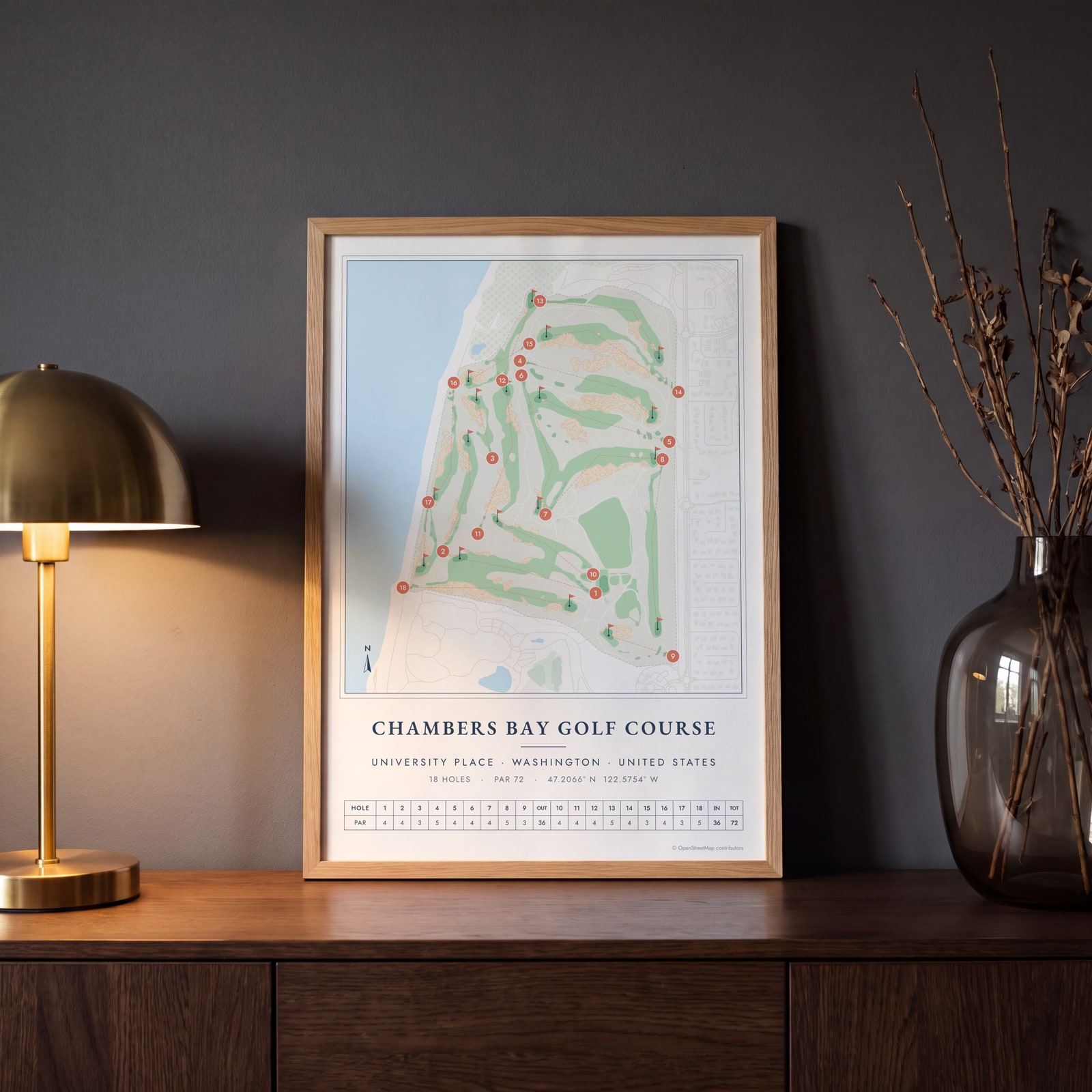
On the wall
A few of them framed at home. Open any one to make it yours.
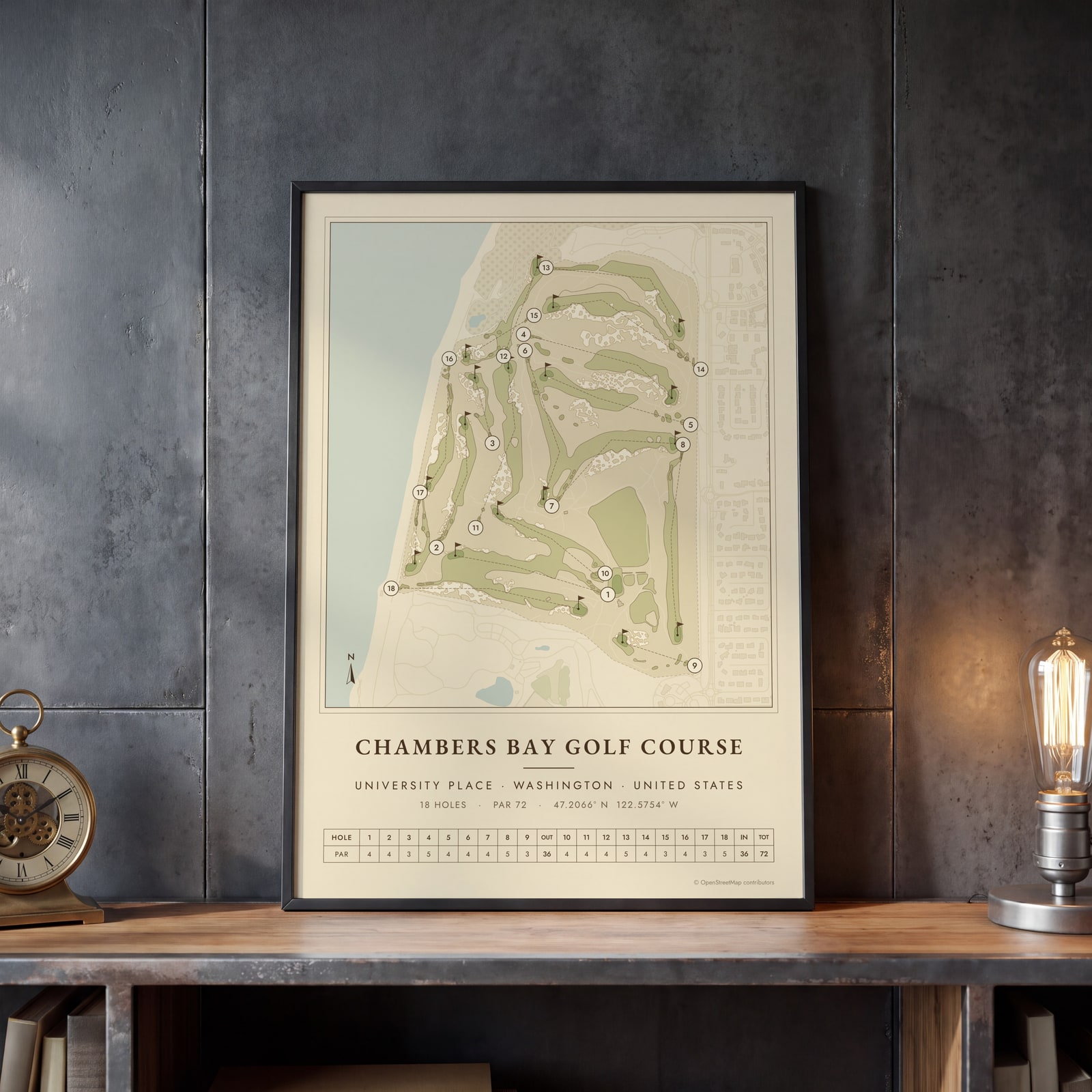 Chambers Bay as a vintage yardage bookEdit this →
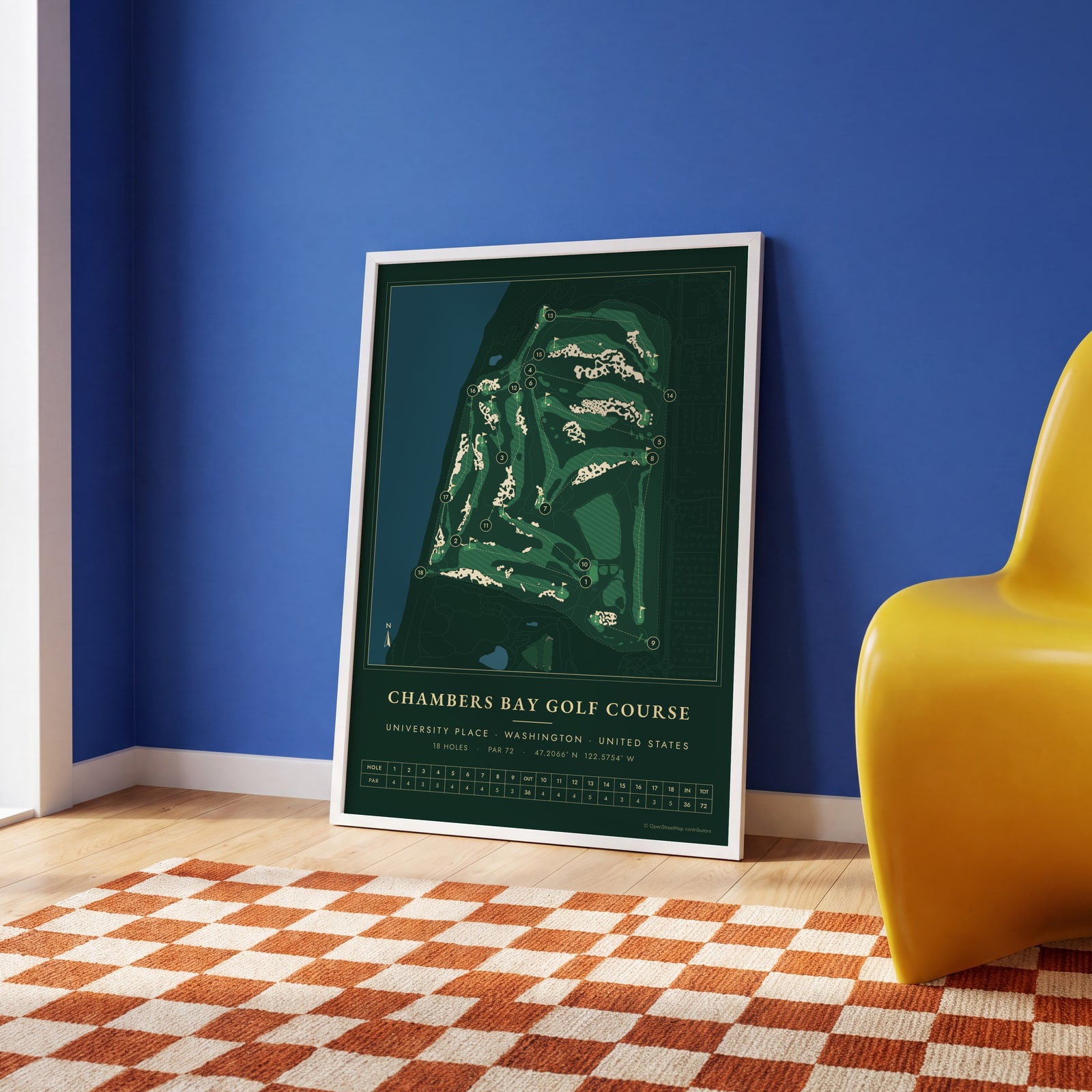 Chambers Bay in evergreen night colorsEdit this →
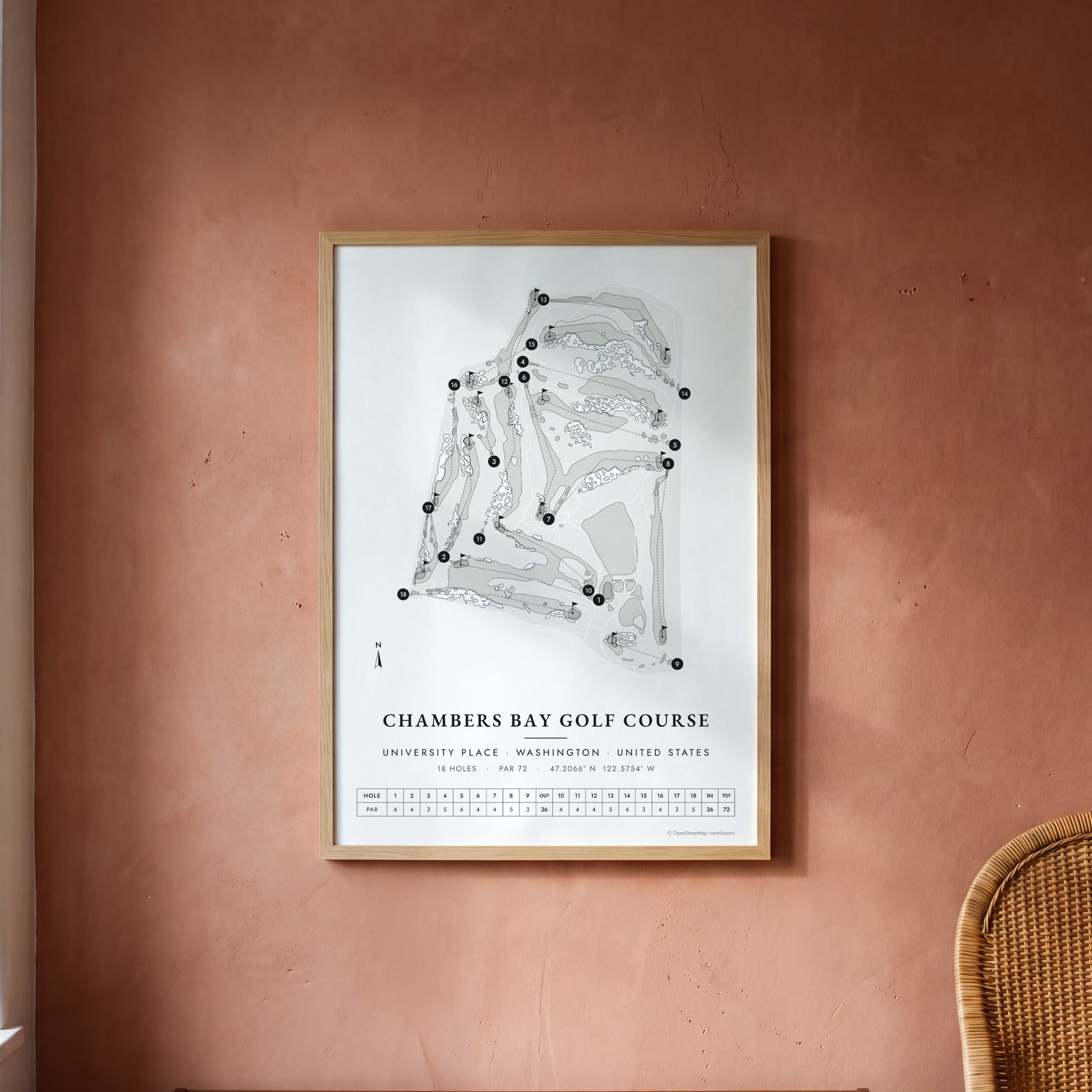 Chambers Bay in links ink, course onlyEdit this →
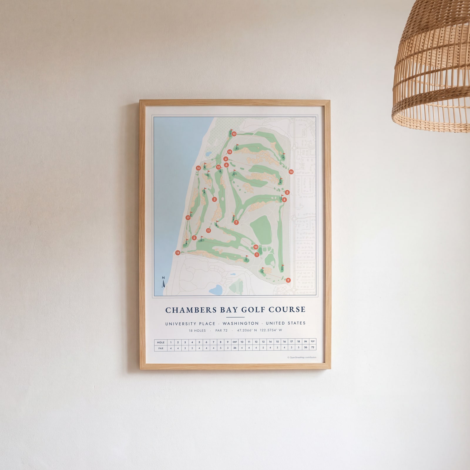 Chambers Bay course map poster, every hole numberedEdit this →
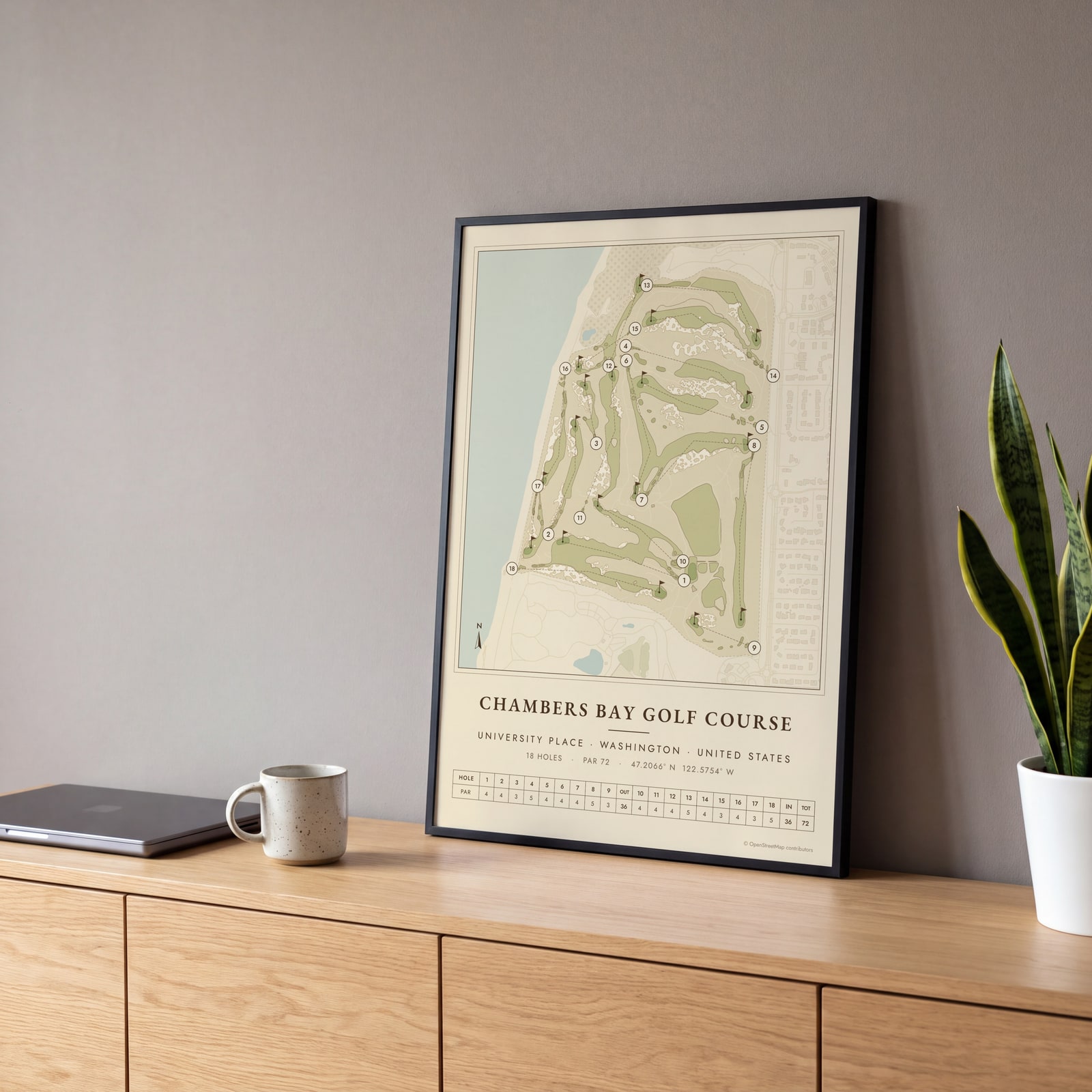 Chambers Bay as a vintage yardage bookEdit this →
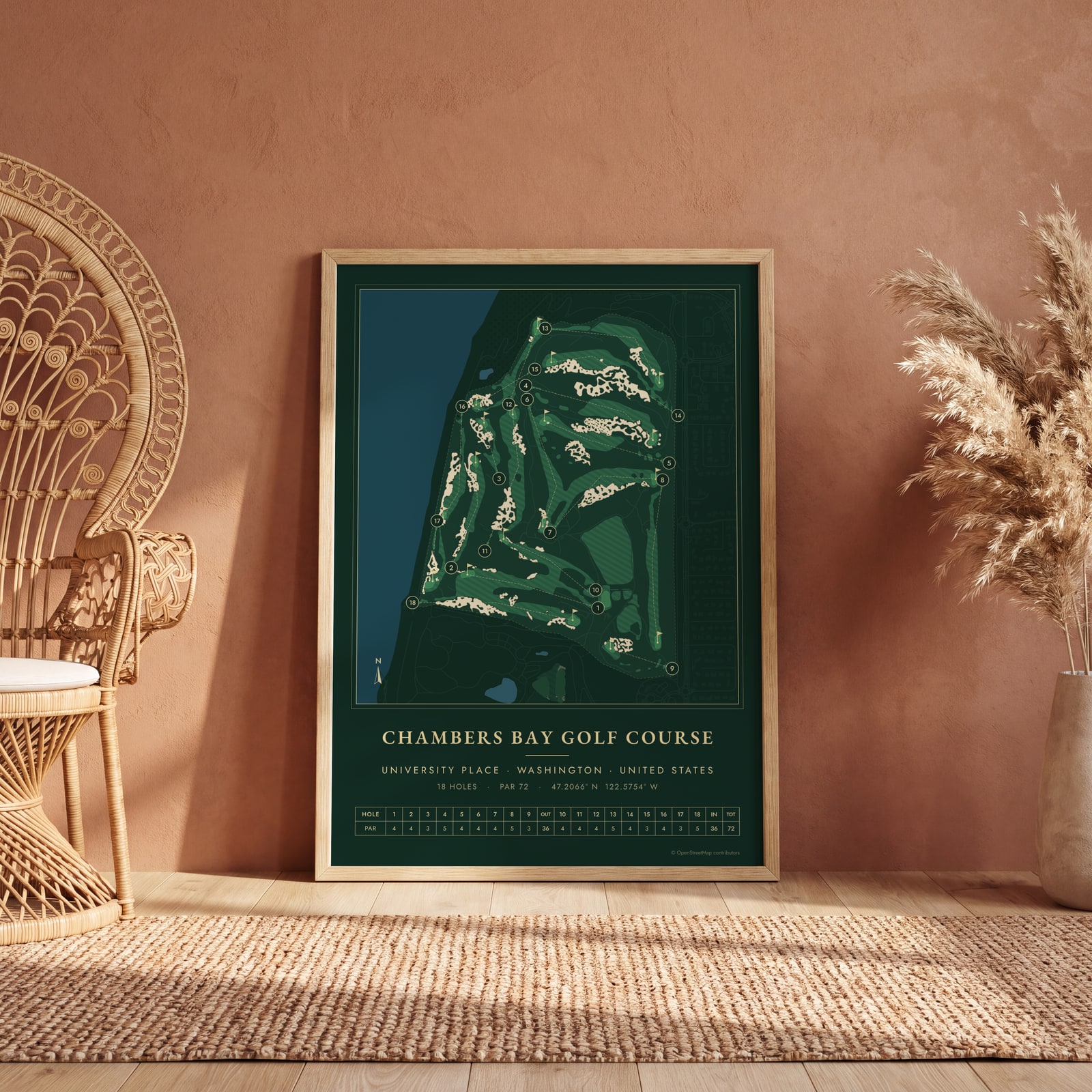 Chambers Bay in evergreen night colorsEdit this →
Examples
Open any of them to change the words, the place, the date and the style, then download the print file.
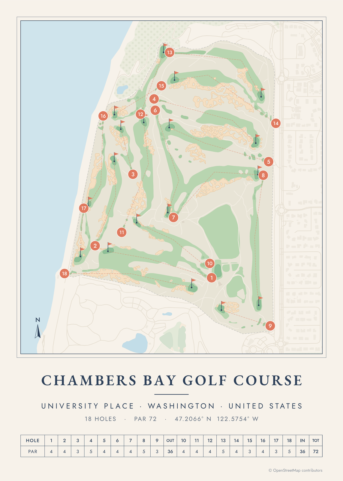 Chambers Bay course map poster, every hole numberedEdit this →More golf course prints →
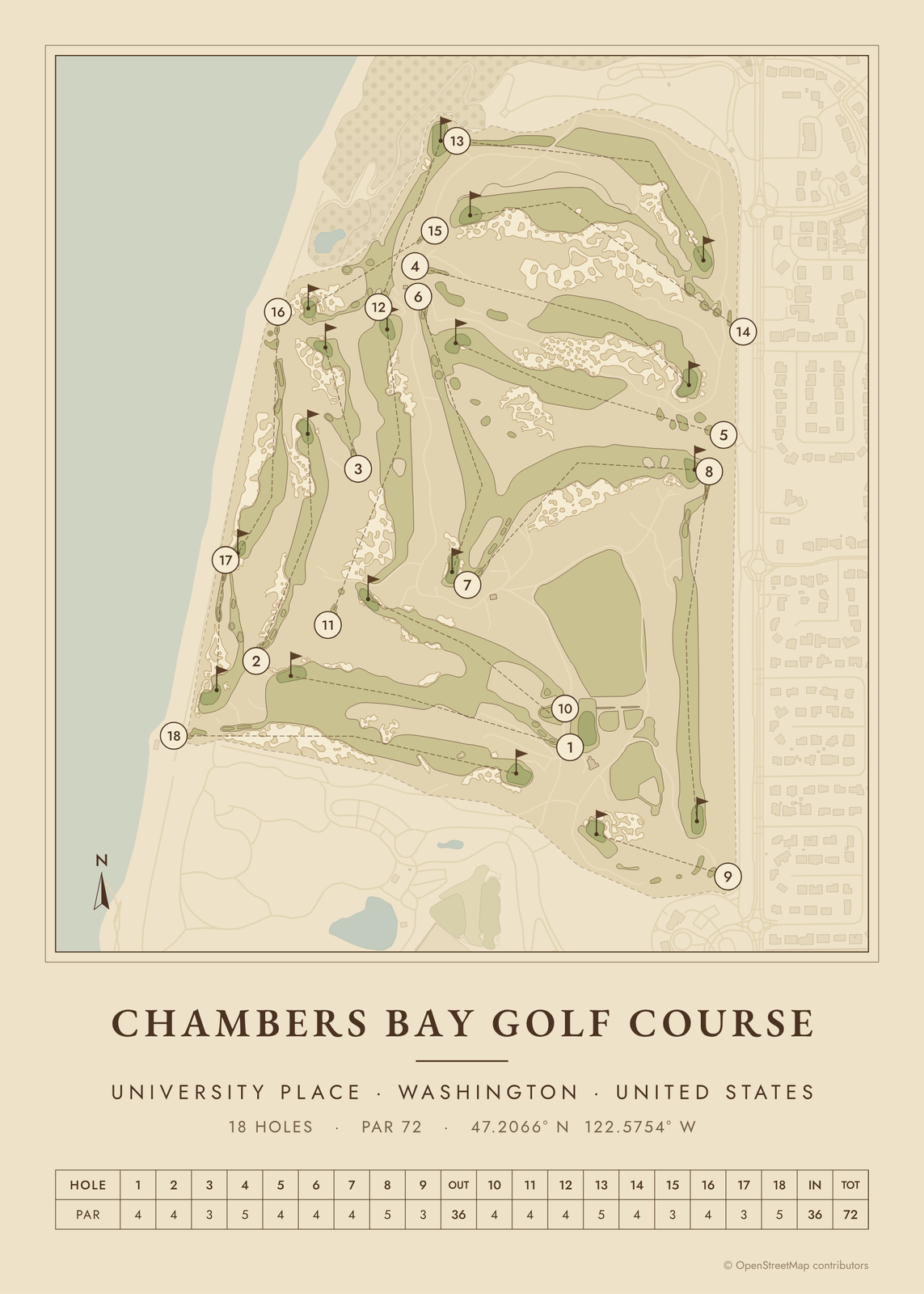 Chambers Bay as a vintage yardage bookEdit this →More golf course prints →
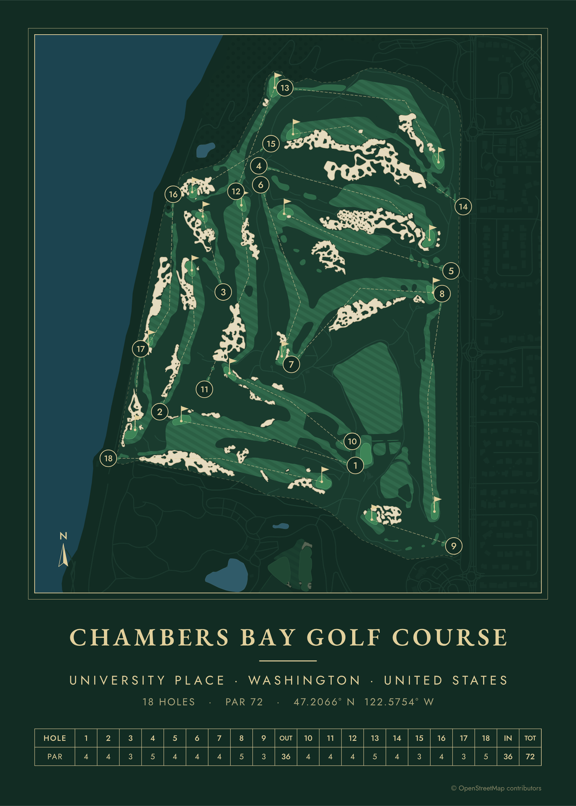 Chambers Bay in evergreen night colorsEdit this →More golf course prints →
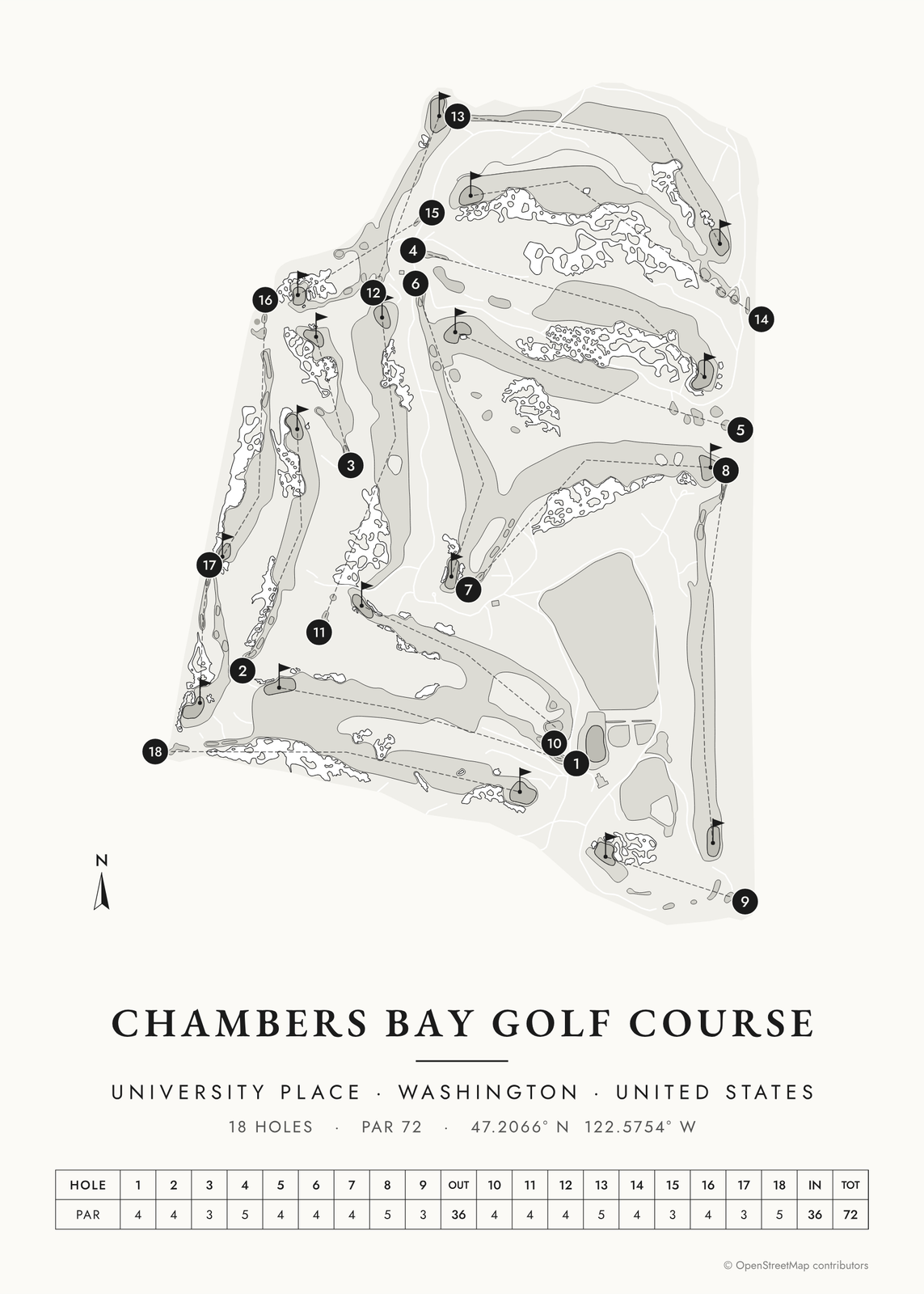 Chambers Bay in links ink, course onlyEdit this →More golf course prints →
About the course
Chambers Bay opened in 2007 on an old sand and gravel quarry in University Place, just southwest of Tacoma, Washington. Robert Trent Jones Jr. designed it with Bruce Charlton and Jay Blasi. The holes run through big sandy dunes down toward Puget Sound, and a freight railroad runs along the shore below.
Pierce County owns the course, and it is open to the public and walking only. It hosted the 2010 U.S. Amateur, and in 2015 it held the first U.S. Open played in the Pacific Northwest. The 2022 U.S. Women's Amateur was played here too.
Holes to know
- 1, Puget Sound (par 5): at the 2015 U.S. Open it switched between par 4 and par 5 from day to day, trading places with the 18th.
- 9, Olympus (par 3): played from a tee at the highest point on the course, about 100 feet above the green.
- 15, Lone Fir (par 3): a short par 3 named for the single Douglas fir behind the green that became the course's emblem.
- 16, Beached (par 4): runs beside the railroad, with Puget Sound beyond and a long sandy waste area down the right.
- 17, Derailed (par 3): a par 3 next to the tracks, where the railroad is out of bounds on the right.
How to make your Chambers Bay poster
- Open the Chambers Bay map; the course is already picked.
- Choose colors: clubhouse greens, seaside, links ink, heritage watercolor, a vintage yardage book, evergreen night or blueprint.
- Keep the scorecard row and the hole numbers, or show the course alone; turn it to fit the sheet or put north up.
- Change the title and the line under it (a date, a round, a score), pick a size and download the print file.
Questions
Can the public play Chambers Bay?
Yes. Pierce County owns Chambers Bay and it is open to the public, with lower rates for county residents. It is walking only, and caddies are available.
What was Chambers Bay before it was a golf course?
A sand and gravel quarry on the shore of Puget Sound. Pierce County turned the old mine site into a public park and golf course, which opened in 2007.
Do trains really run past Chambers Bay?
Yes. A freight line runs along the shore at the foot of the course. Players hear trains on the 16th and 17th, and on the 17th the railroad is out of bounds.
Where does the course map come from?
From OpenStreetMap, where volunteers trace fairways, greens, bunkers, water and trees from aerial imagery. It's a map of the course as it's mapped there, not the club's official yardage book, and its credit line prints small in the corner.
What sizes can I print?
US Letter, 8 × 10, 11 × 14, 12 × 16 and 12 × 18 in, A4 and A3, free. You download a 300 DPI JPEG drawn at the size you pick, for any print shop. Larger prints, up to 24 × 36 in, are coming soon.
Is this an official course map?
No. Posterage isn't affiliated with the course, its club or any tournament played there. The poster is drawn from open map data.
Related
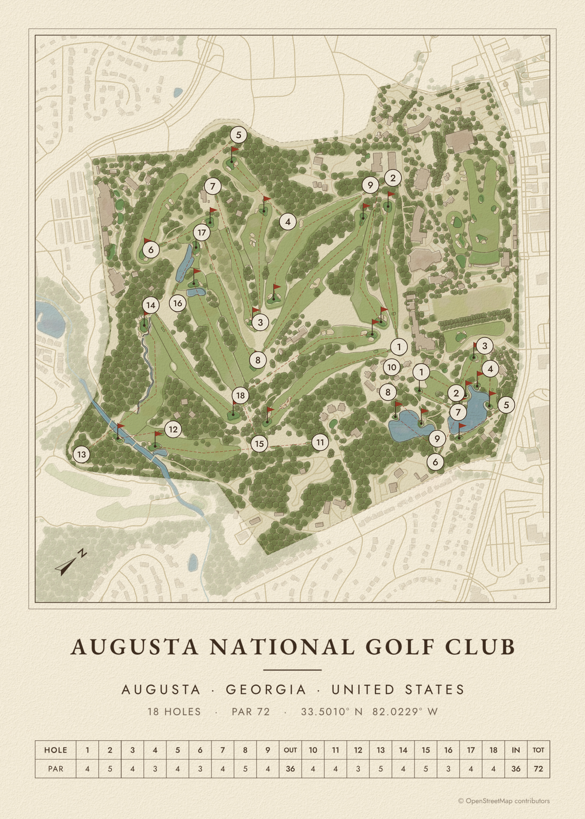
Gift ideas by occasion




Every example is made with the Posterage generators. Change anything, then download it as a 300 DPI JPEG.