Erin Hills course map 18 holes on Wisconsin's glacial hills
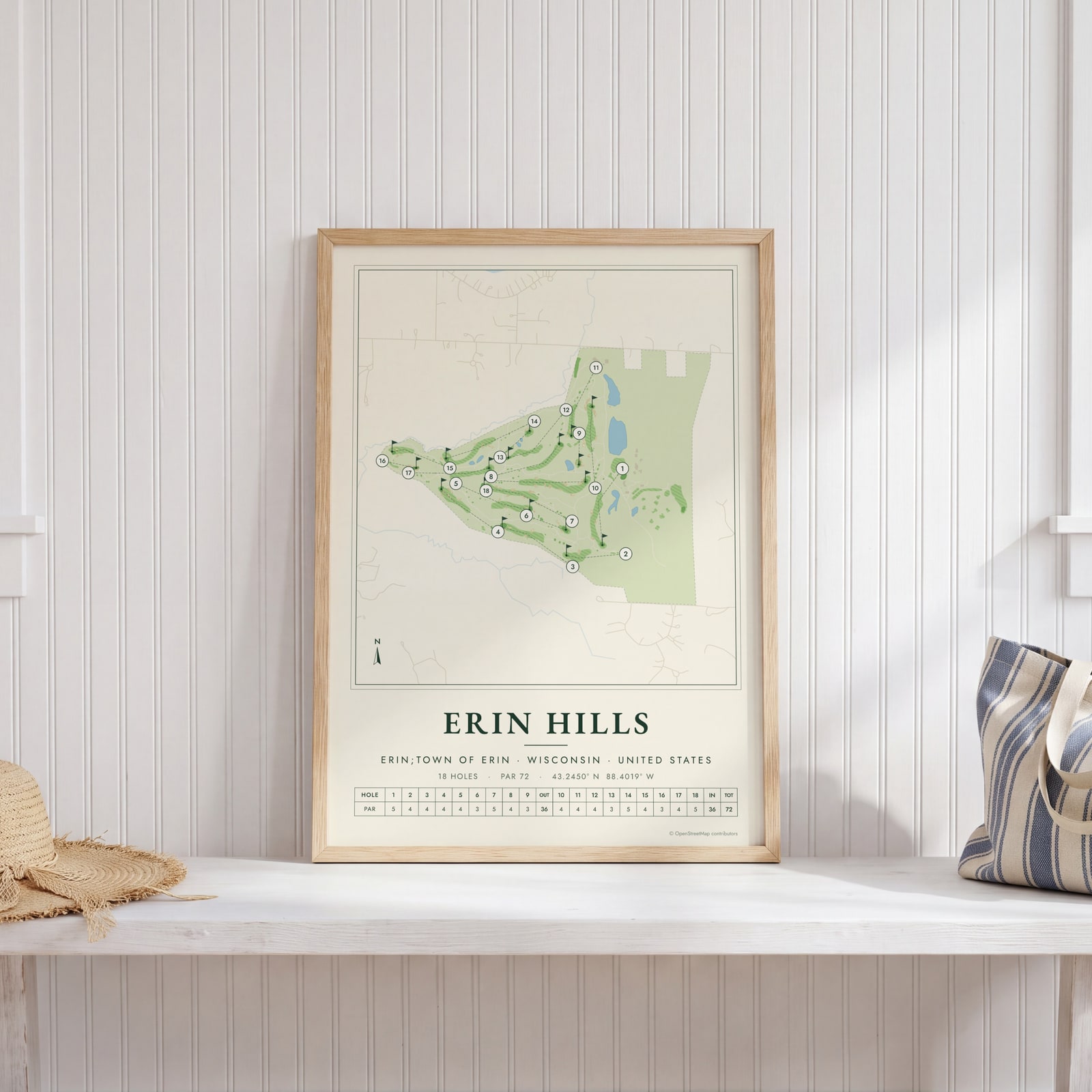
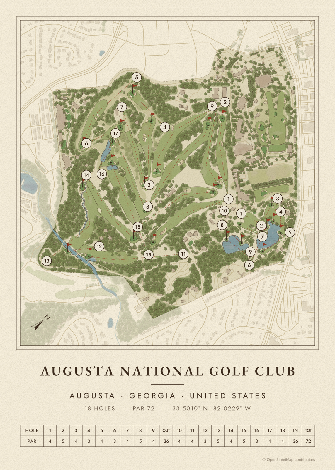
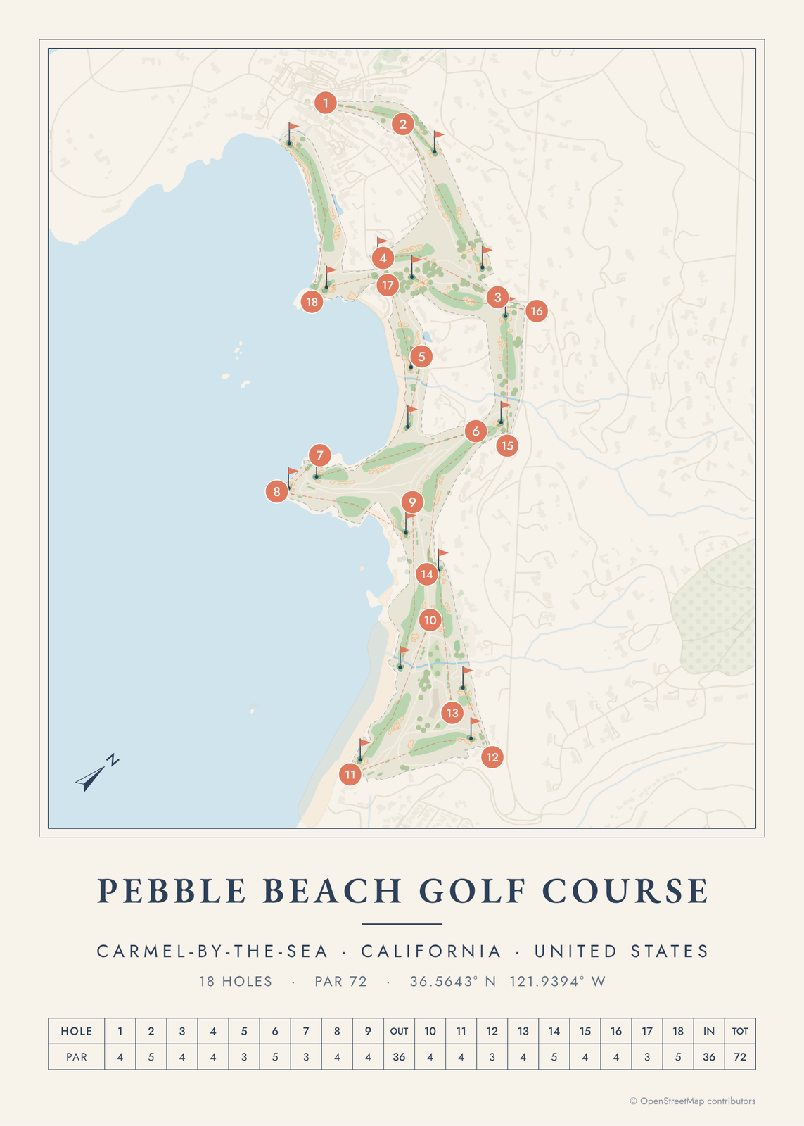
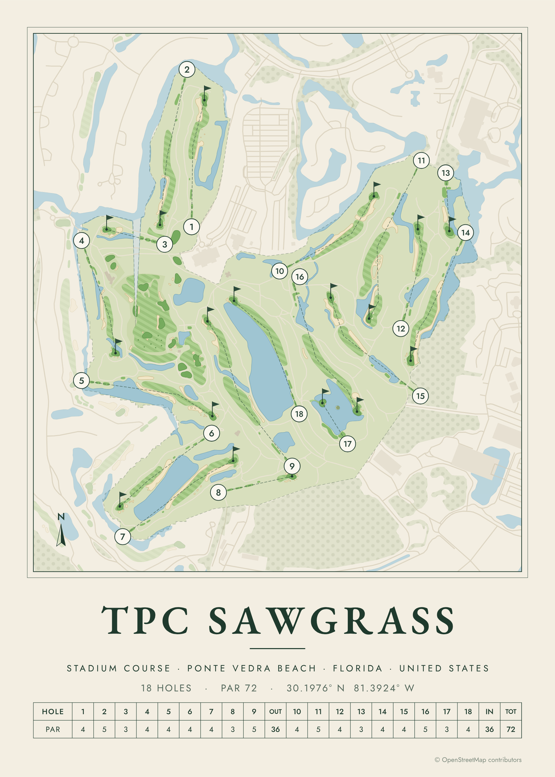
This poster draws Erin Hills as a yardage-book map: every fairway, green, tee and bunker, with each hole numbered and a line from tee to green. Turn on the scorecard row for hole numbers and par. It suits anyone who has walked the course, caddied there, or watched the 2017 U.S. Open.
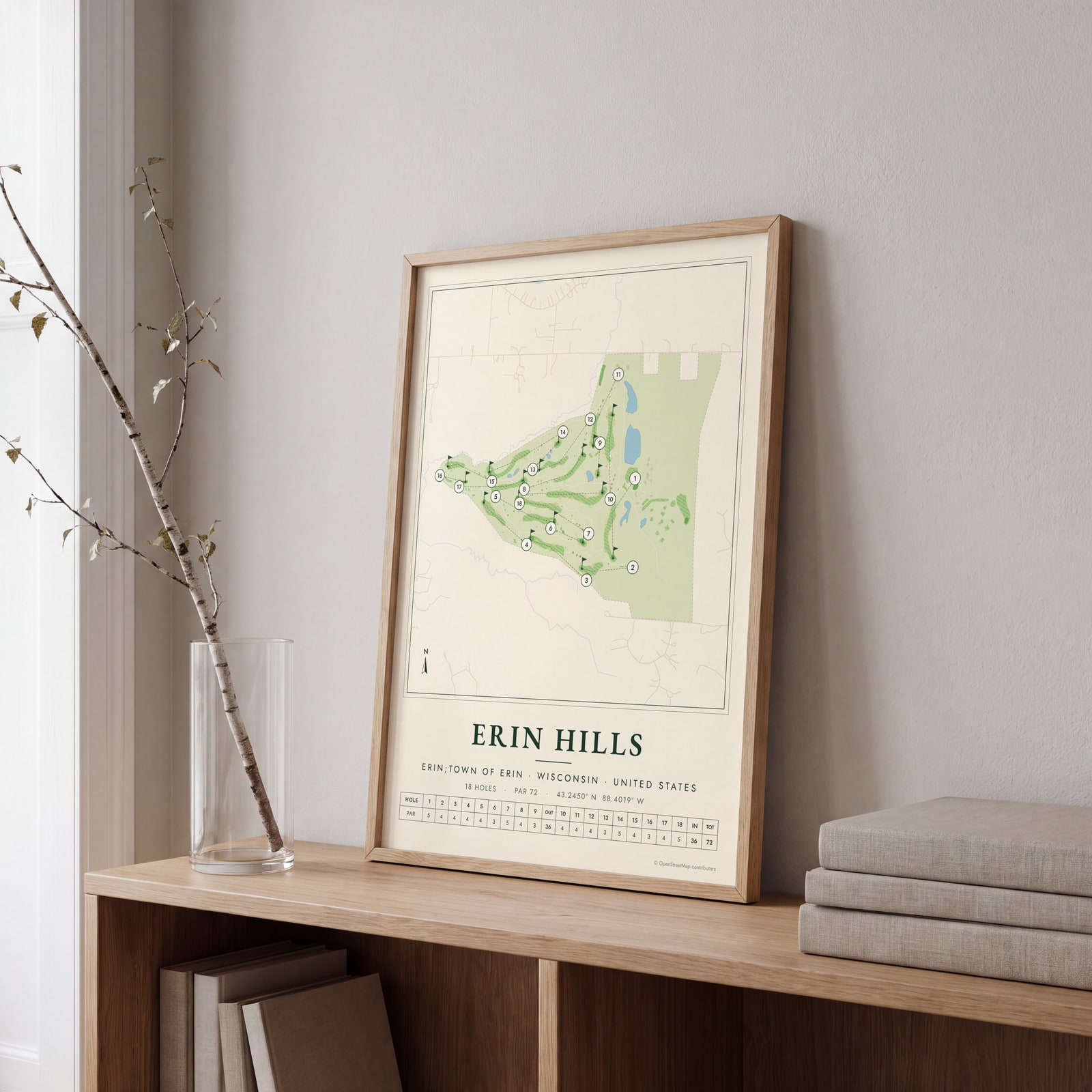
On the wall
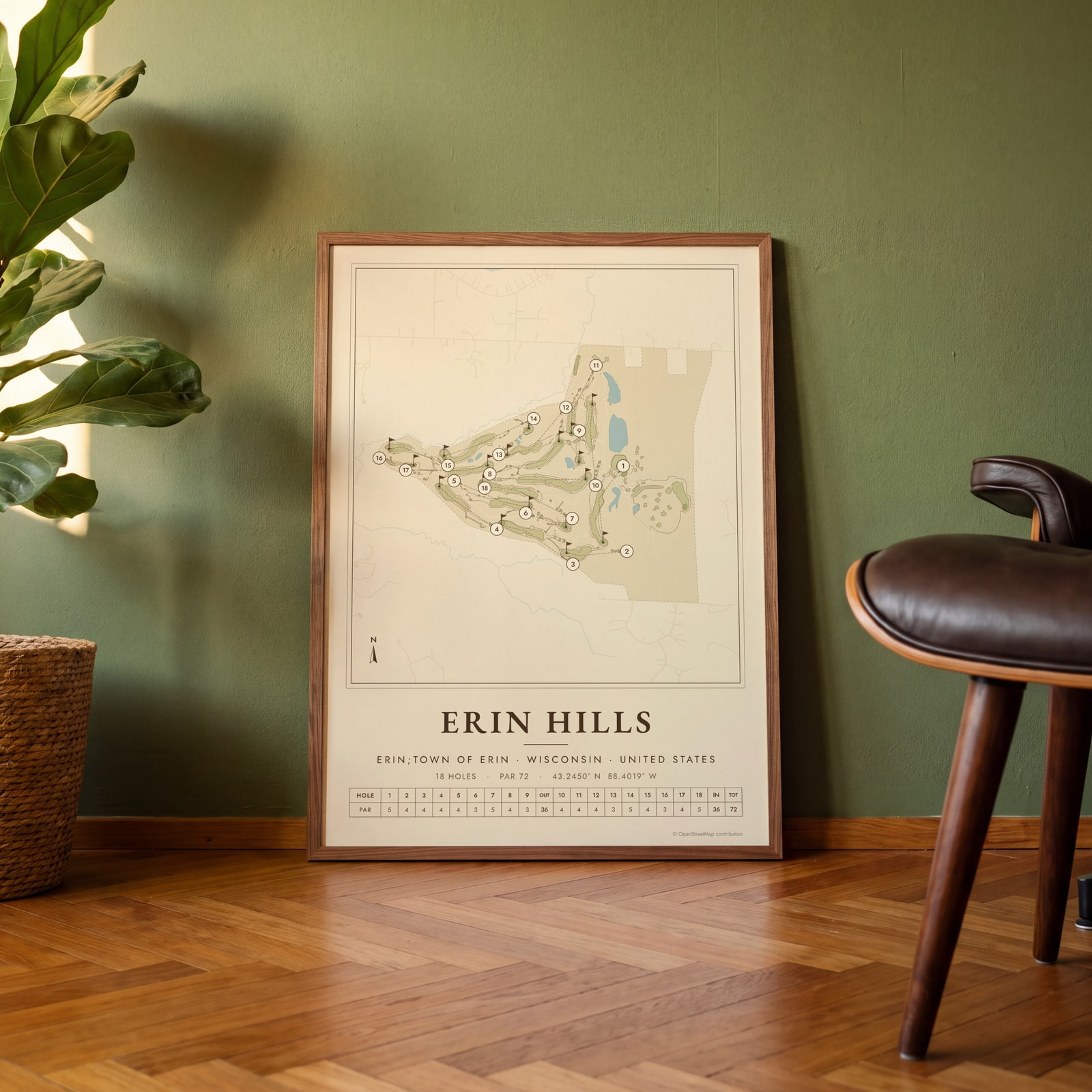
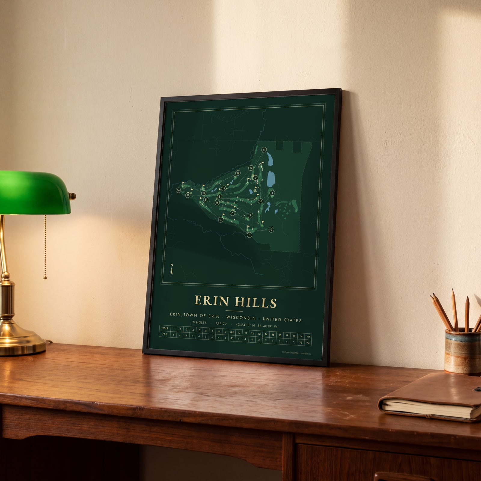
A few of them framed at home. Open any one to make it yours.
Examples
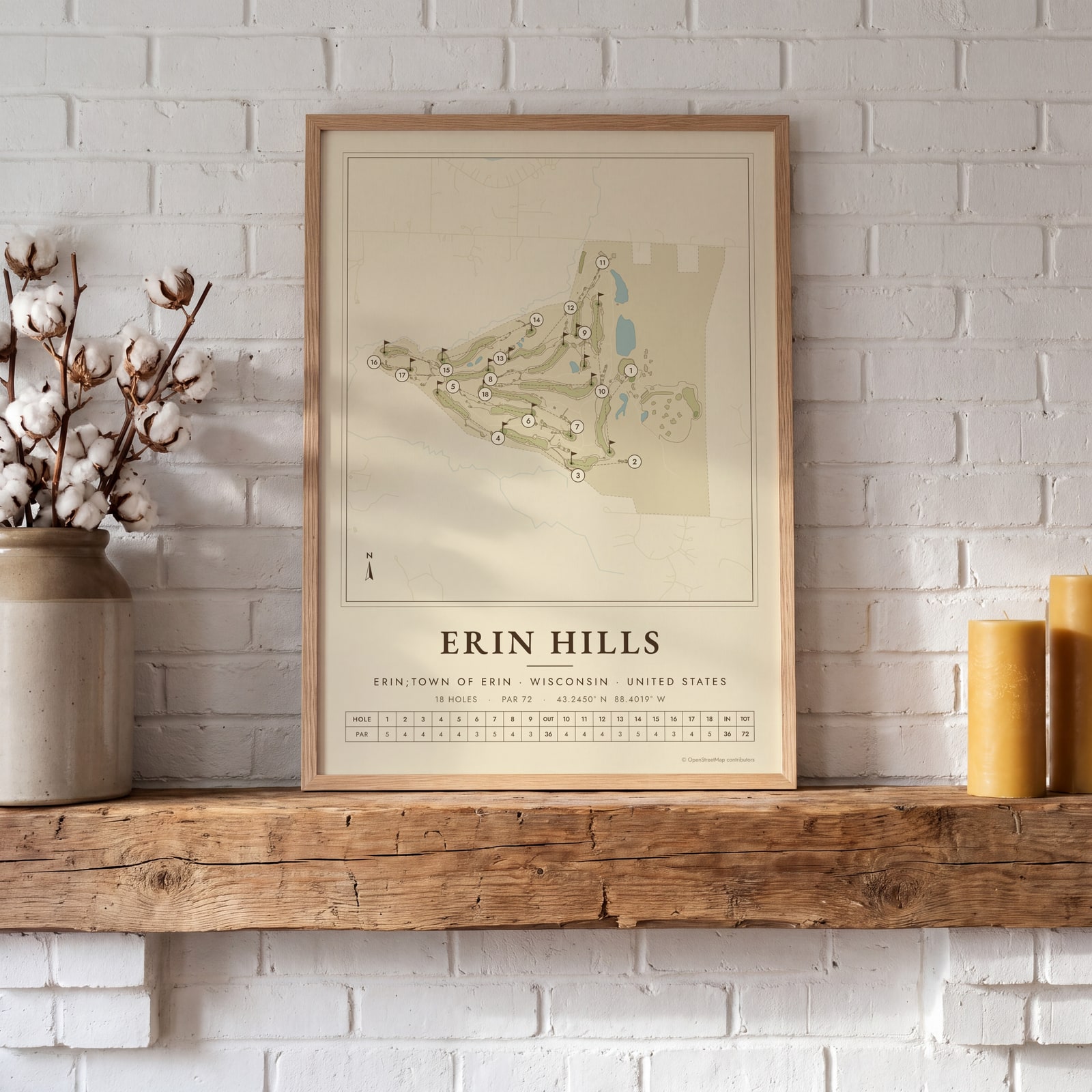
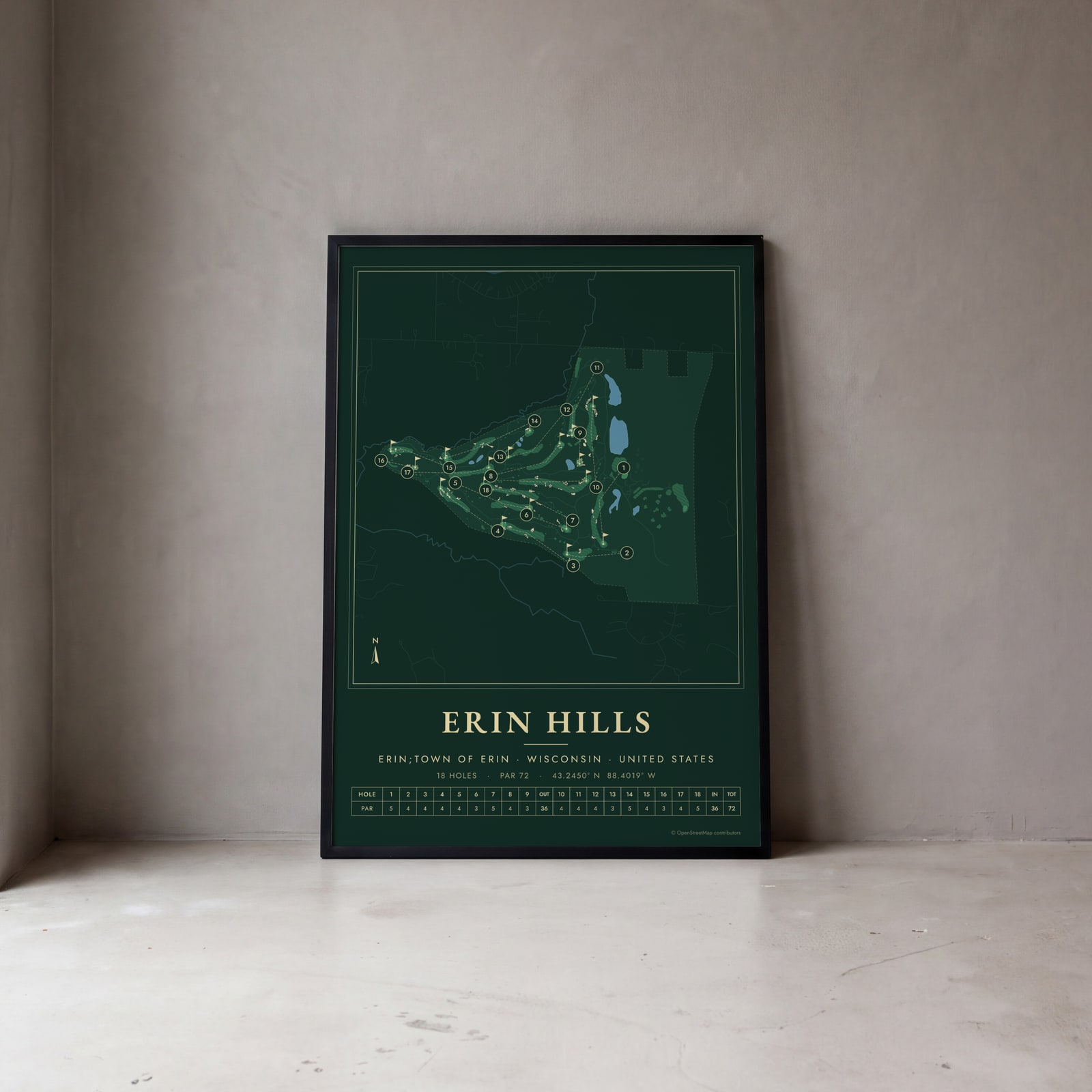
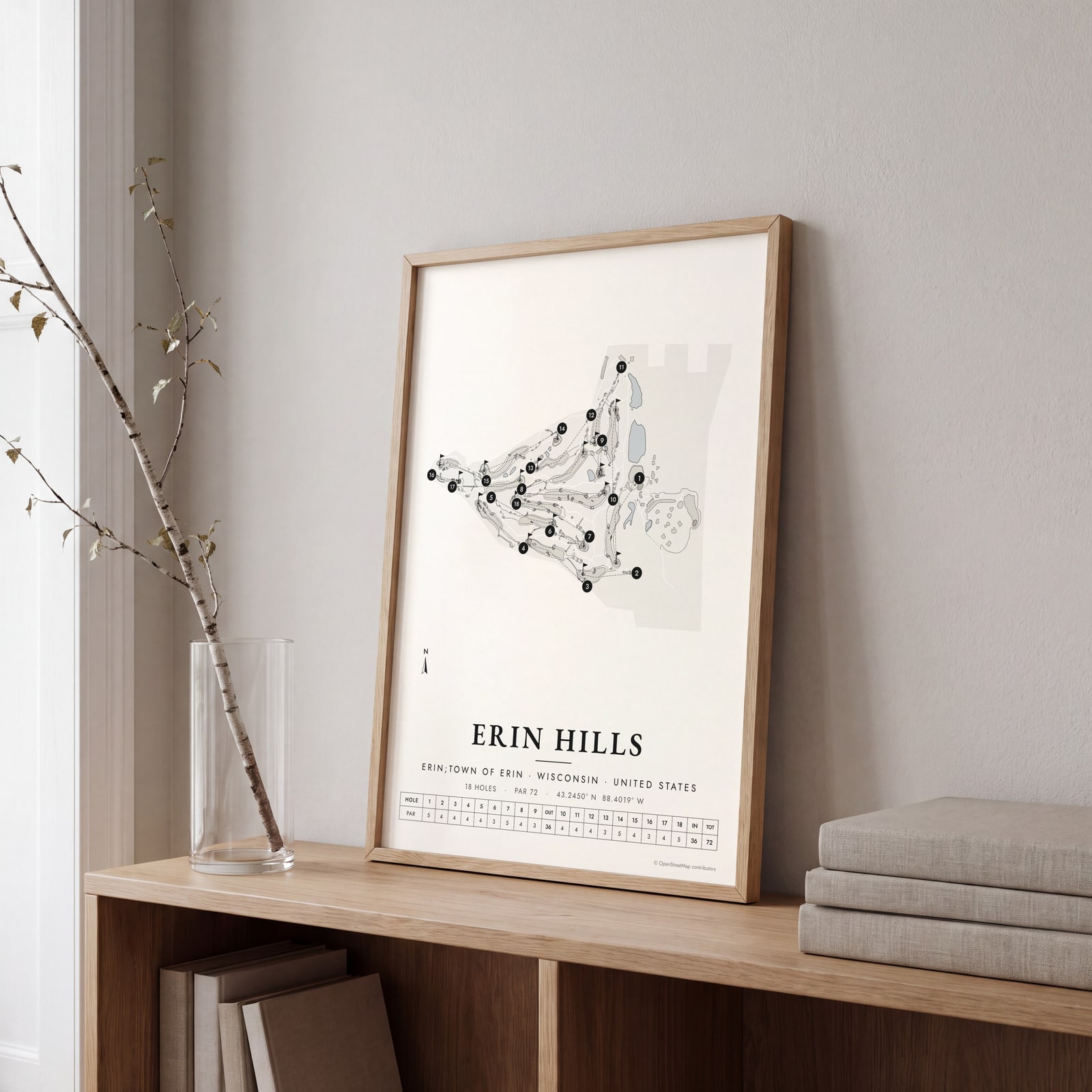
Open any of them to change the words, the place, the date and the style, then download the print file.
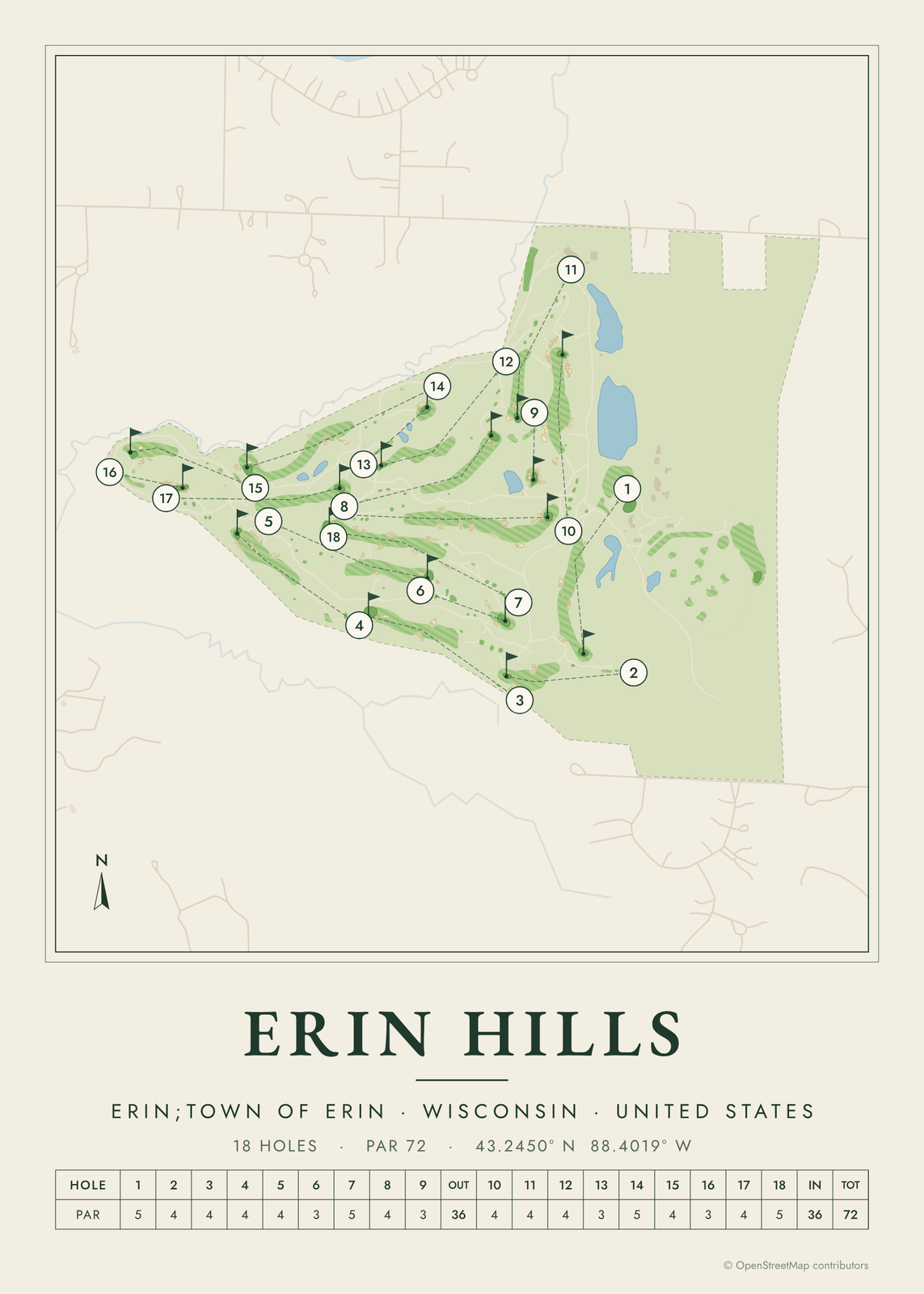 Erin Hills course map poster, every hole numberedEdit this →More golf course prints →
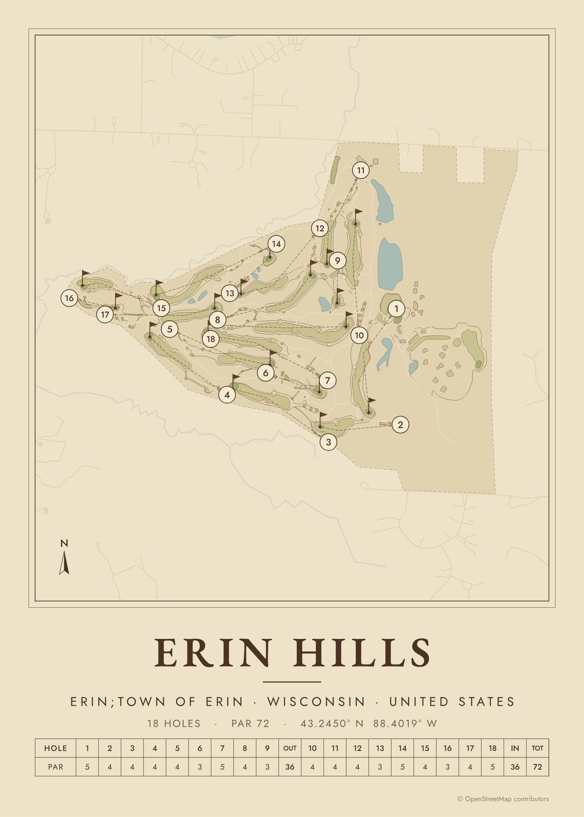 Erin Hills as a vintage yardage bookEdit this →More golf course prints →
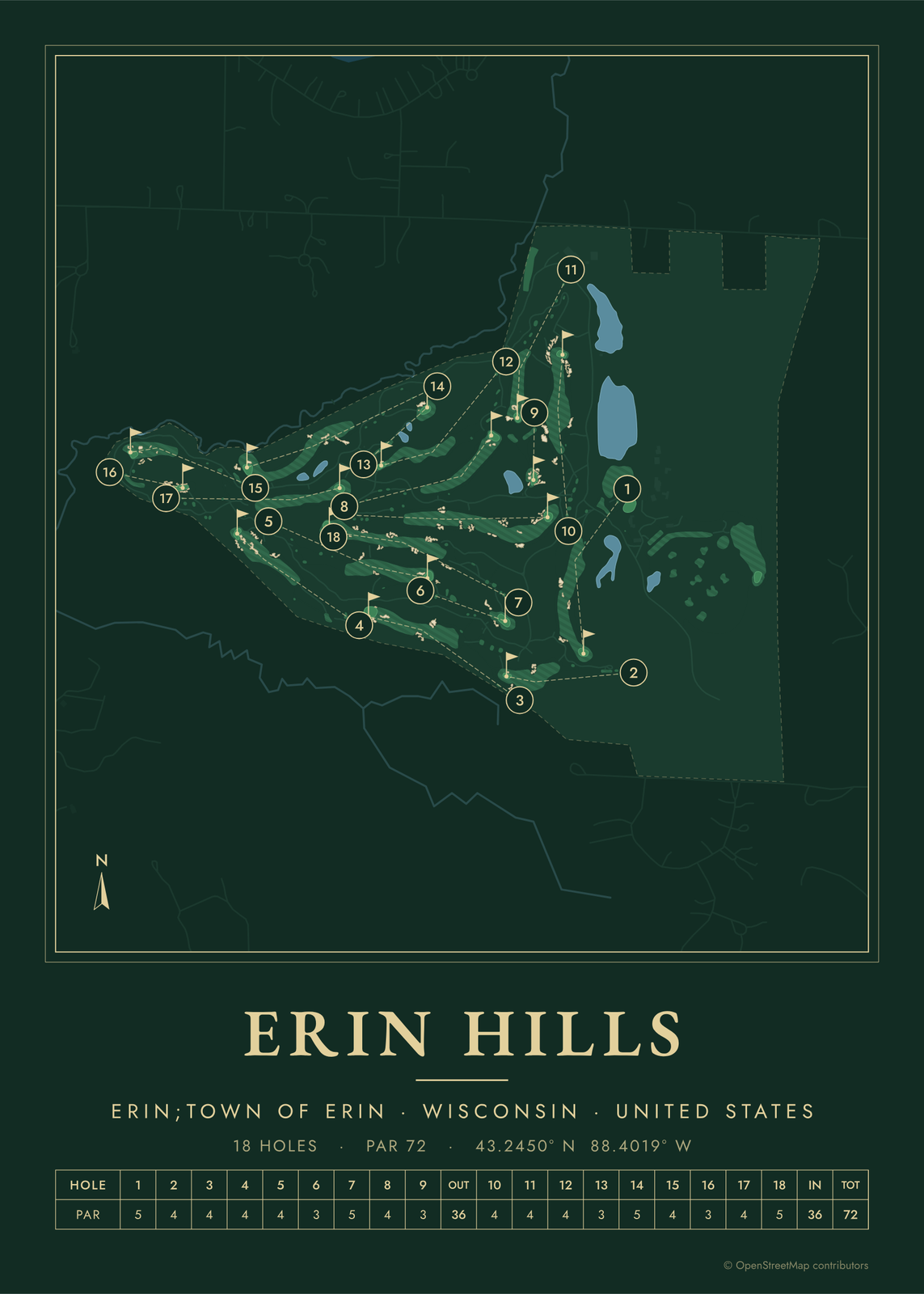 Erin Hills in evergreen night colorsEdit this →More golf course prints →
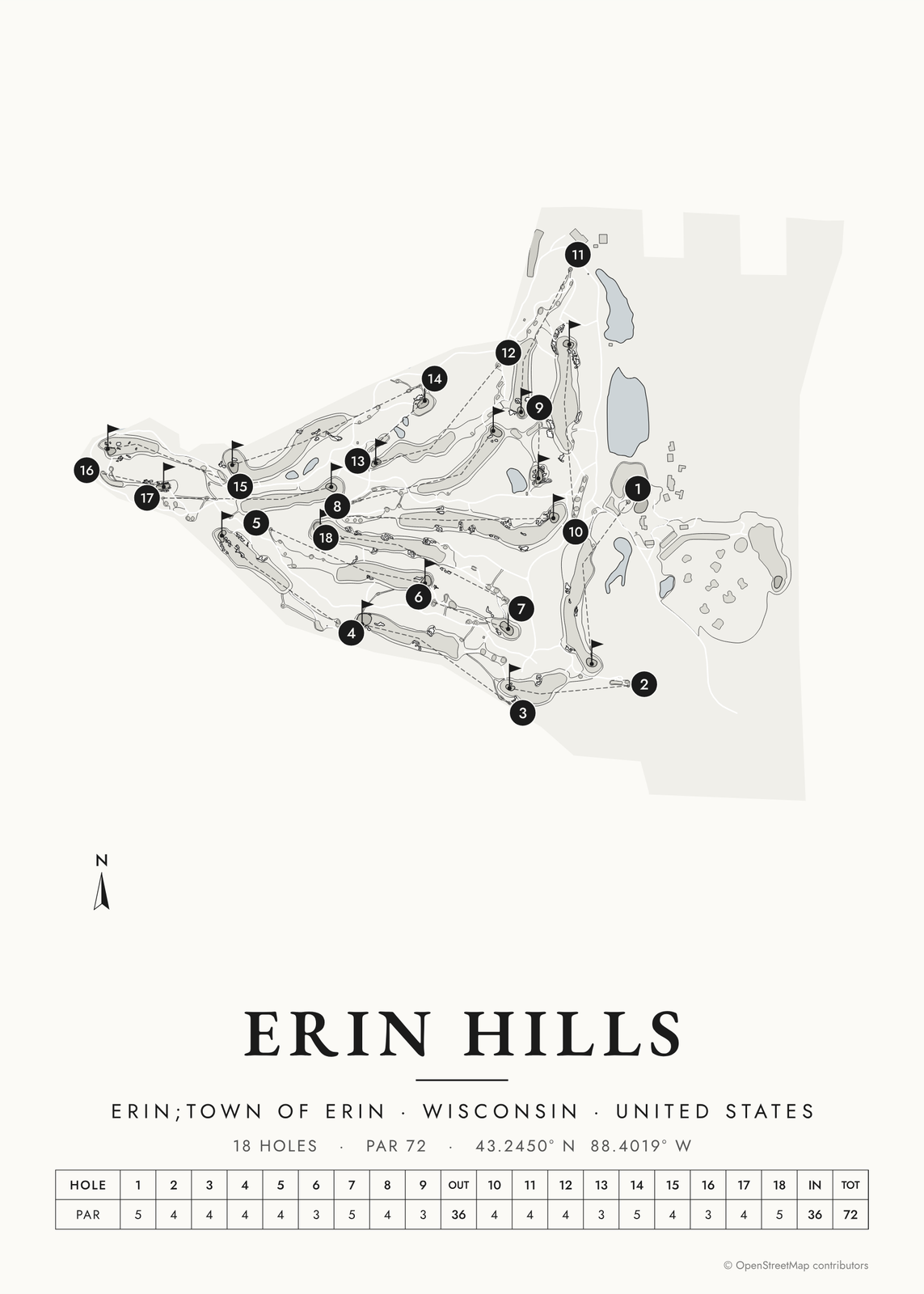 Erin Hills in links ink, course onlyEdit this →More golf course prints →
About the course
Erin Hills opened in 2006, designed by Michael Hurdzan, Dana Fry and Ron Whitten. It sits about 35 miles northwest of Milwaukee in Wisconsin's Kettle Moraine, on rolling ground the glaciers left behind. The architects routed the holes around the land's natural contours, so fairways rise and fall over ridges and hollows with tall fescue in between.
It is a public course, and it is walking only. Erin Hills hosted the 2011 U.S. Amateur, and in 2017 it held the first U.S. Open ever played in Wisconsin. The 2025 U.S. Women's Open came here too.
Holes to know
- 2 (par 4): a short par 4 that plays to the smallest green on the course.
- 6 (par 3): the longest of the four par 3s, and it plays uphill.
- 9 (par 3): a short downhill par 3 to a rolling green. It started life as an extra "bye" hole before joining the main routing.
- 15 (par 4): the shortest par 4 on the card, tucked between a par 5 and a par 3.
- 18 (par 5): a long closing par 5 where the second shot is a real decision: go for it or lay up.
How to make your Erin Hills poster
- Open the Erin Hills map; the course is already picked.
- Choose colors: clubhouse greens, seaside, links ink, heritage watercolor, a vintage yardage book, evergreen night or blueprint.
- Keep the scorecard row and the hole numbers, or show the course alone; turn it to fit the sheet or put north up.
- Change the title and the line under it (a date, a round, a score), pick a size and download the print file.
Questions
Can the public play Erin Hills?
Yes. Erin Hills is a public course. It is walking only, and caddies are available.
Which big championships has Erin Hills hosted?
The 2017 U.S. Open, the first played in Wisconsin, and the 2025 U.S. Women's Open. It has also hosted USGA amateur events, including the 2011 U.S. Amateur and the 2022 U.S. Mid-Amateur.
Where is Erin Hills?
In the town of Erin, Wisconsin, about 35 miles northwest of Milwaukee. The poster can print the course's coordinates under its name.
Where does the course map come from?
From OpenStreetMap, where volunteers trace fairways, greens, bunkers, water and trees from aerial imagery. It's a map of the course as it's mapped there, not the club's official yardage book, and its credit line prints small in the corner.
What sizes can I print?
US Letter, 8 × 10, 11 × 14, 12 × 16 and 12 × 18 in, A4 and A3, free. You download a 300 DPI JPEG drawn at the size you pick, for any print shop. Larger prints, up to 24 × 36 in, are coming soon.
Is this an official course map?
No. Posterage isn't affiliated with the course, its club or any tournament played there. The poster is drawn from open map data.
Related
Gift ideas by occasion




Every example is made with the Posterage generators. Change anything, then download it as a 300 DPI JPEG.