Muirfield Village course map Jack Nicklaus's course, hole by hole
This poster maps Muirfield Village Golf Club as OpenStreetMap draws it: fairways, greens, bunkers, woods and the creeks and ponds that come into play on many holes, with each hole numbered from tee to green. It suits members, Memorial Tournament regulars and Jack Nicklaus fans.
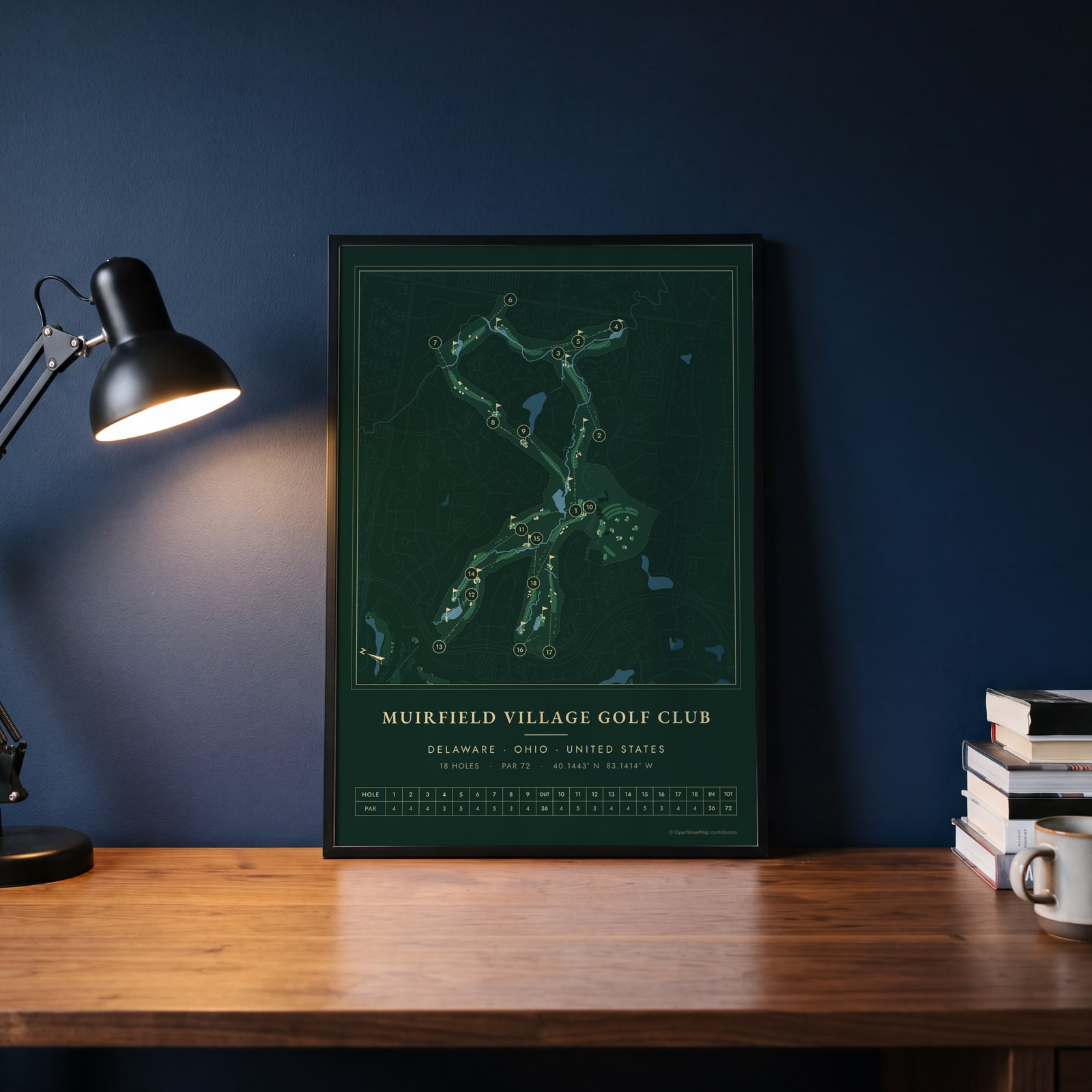
On the wall
A few of them framed at home. Open any one to make it yours.
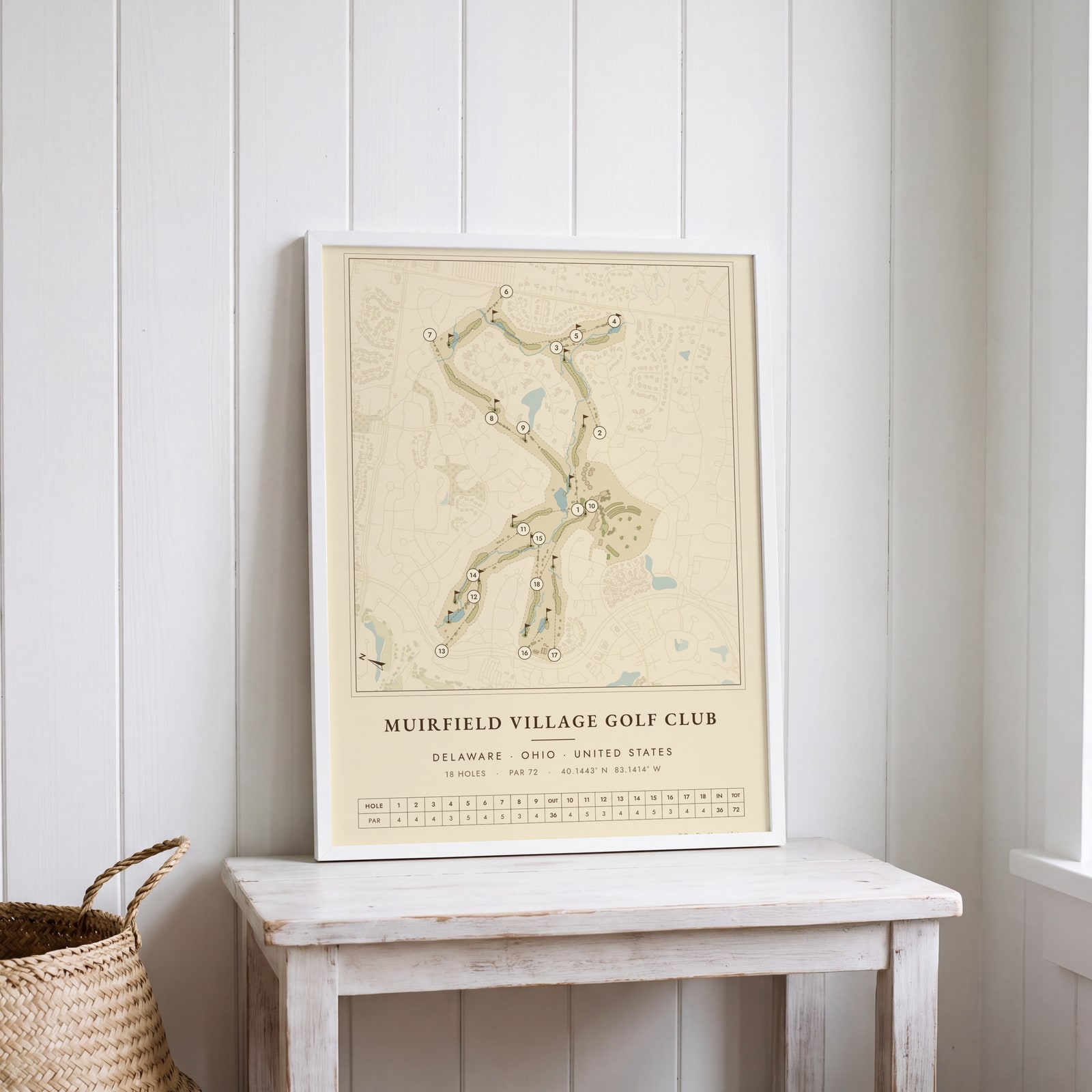 Muirfield Village as a vintage yardage bookEdit this →
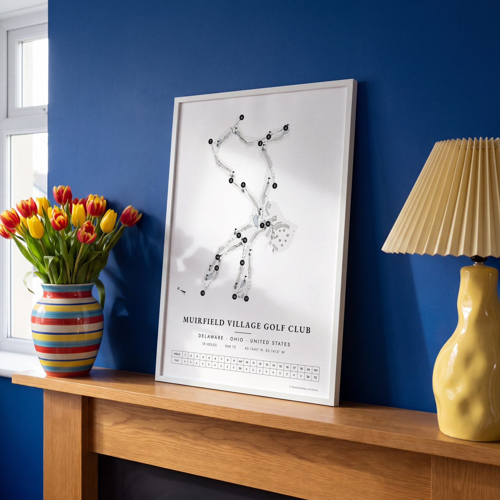 Muirfield Village in links ink, course onlyEdit this →
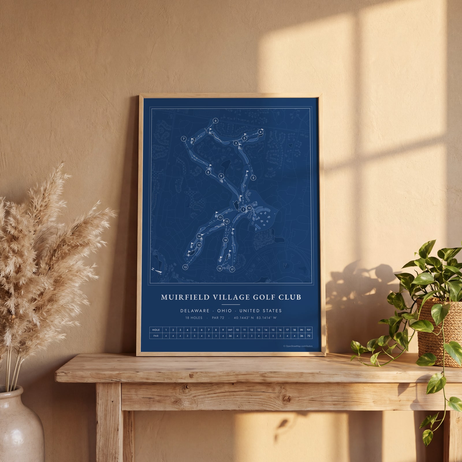 Muirfield Village as a blueprintEdit this →
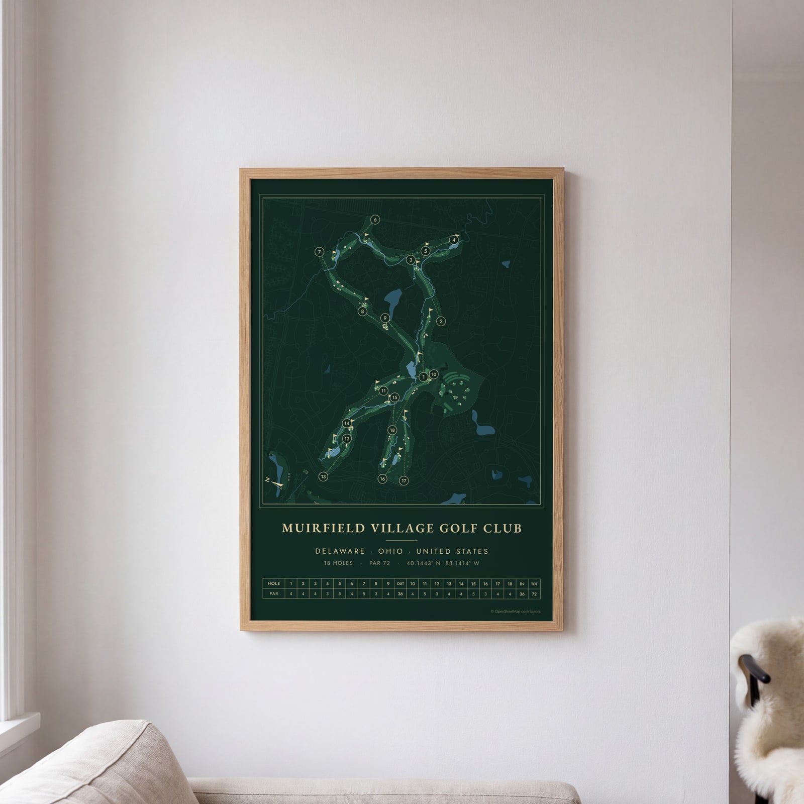 Muirfield Village course map poster, every hole numberedEdit this →
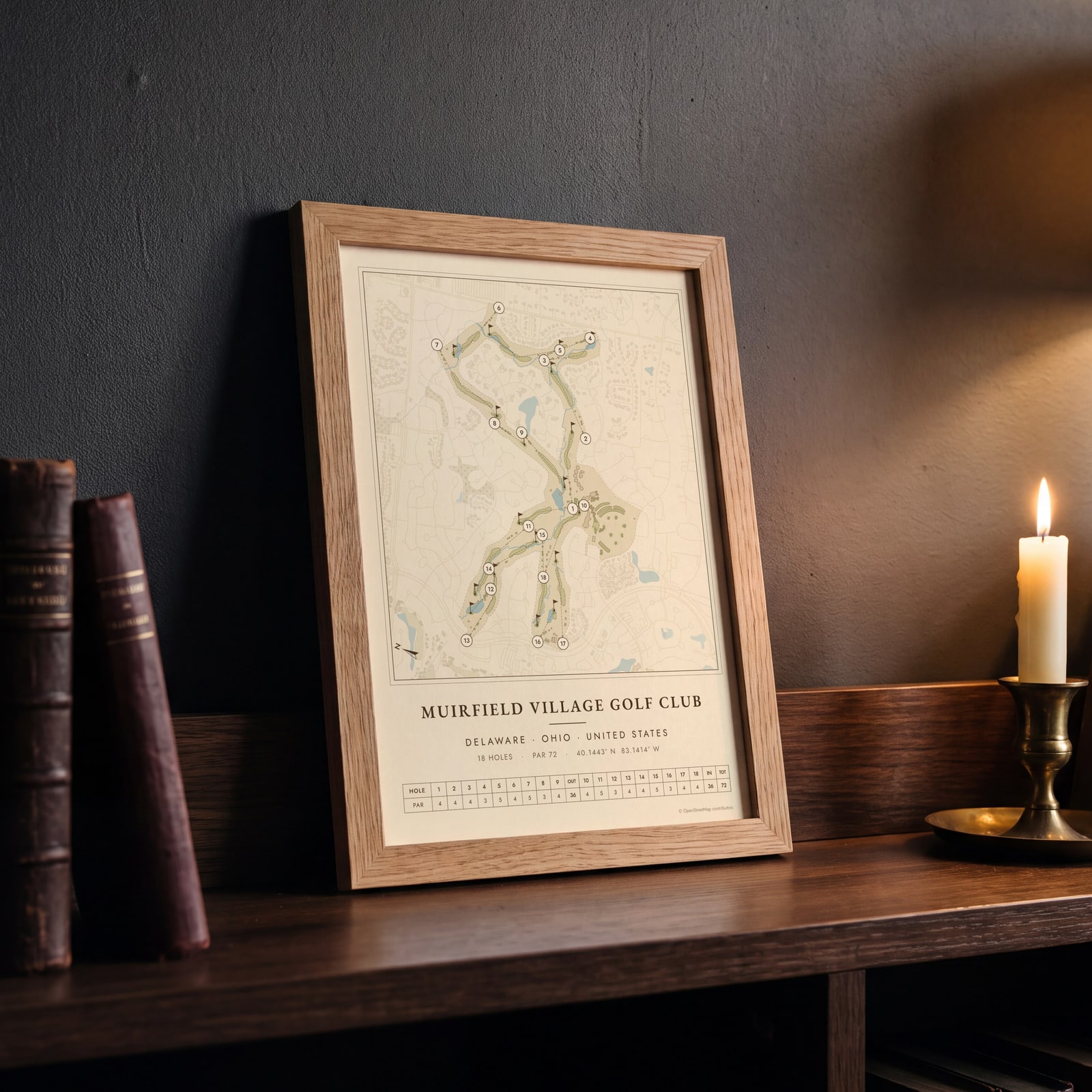 Muirfield Village as a vintage yardage bookEdit this →
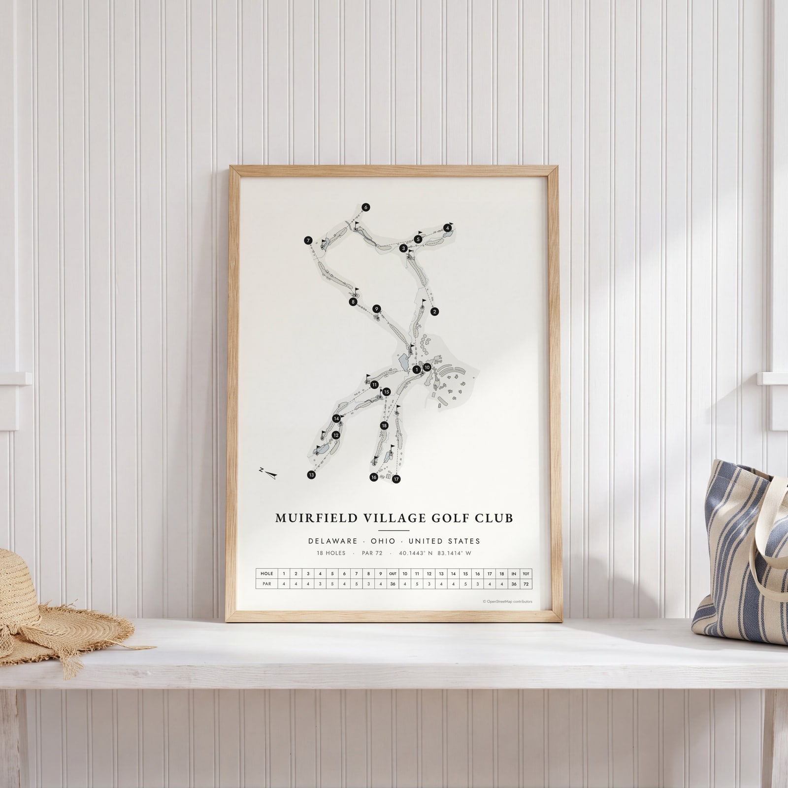 Muirfield Village in links ink, course onlyEdit this →
Examples
Open any of them to change the words, the place, the date and the style, then download the print file.
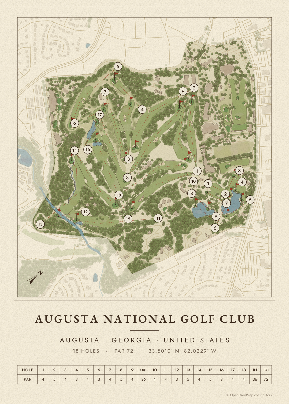
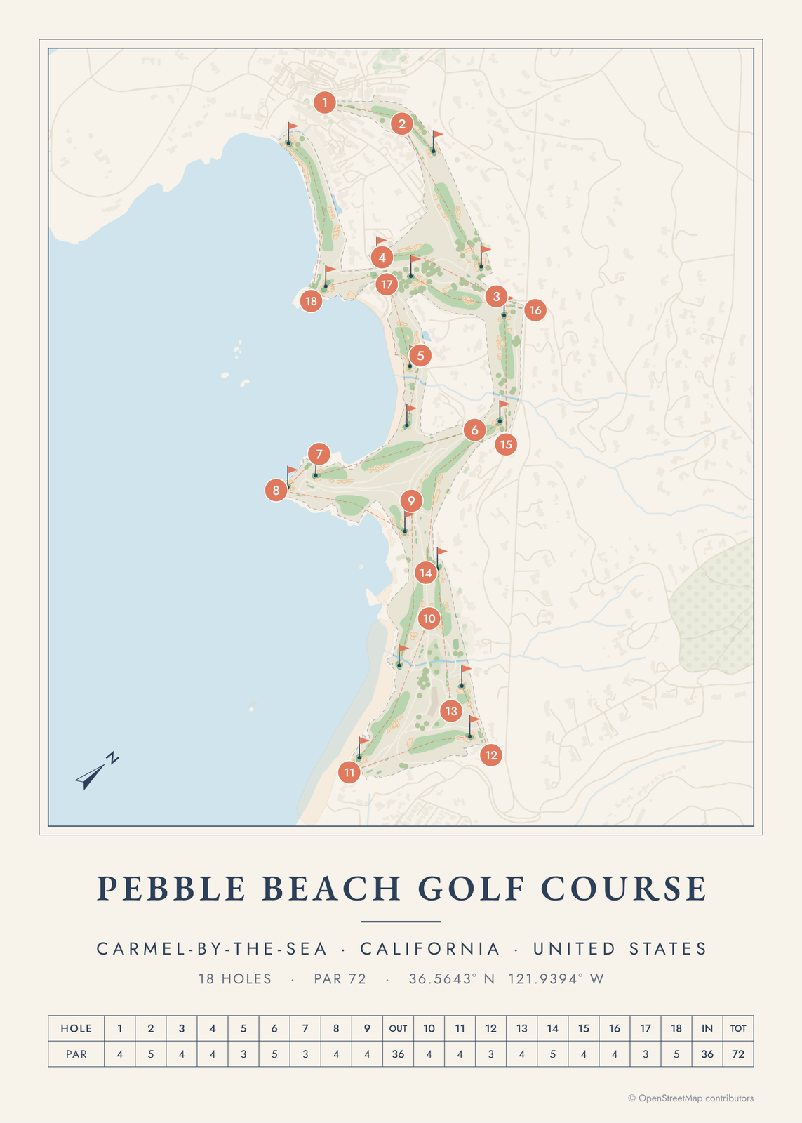
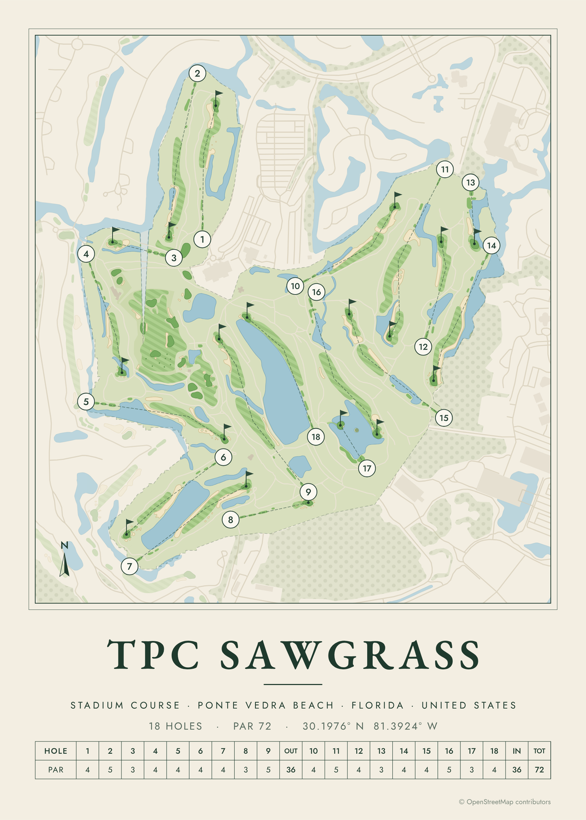
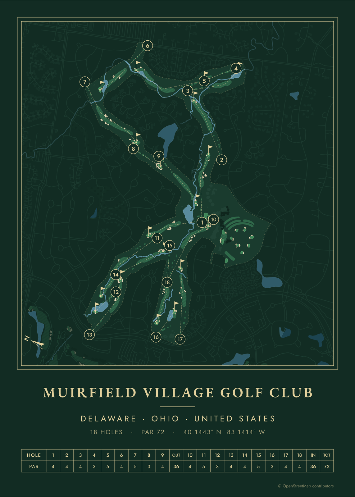 Muirfield Village course map poster, every hole numberedEdit this →More golf course prints →
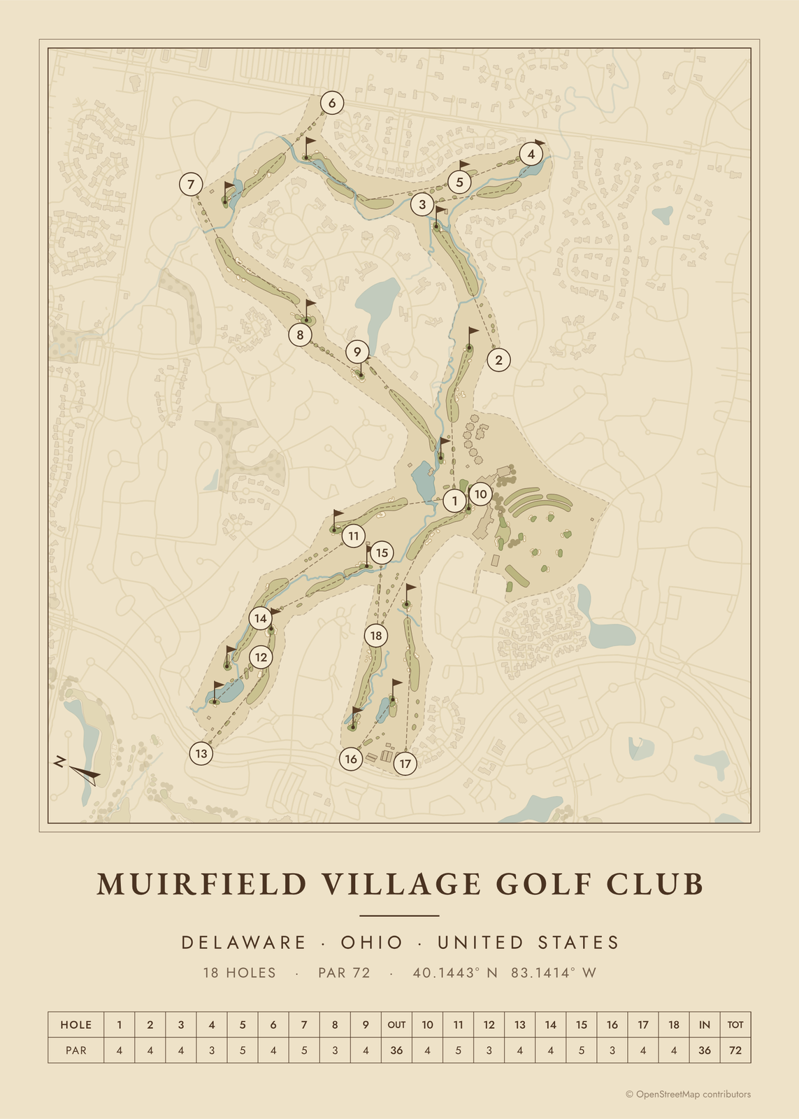 Muirfield Village as a vintage yardage bookEdit this →More golf course prints →
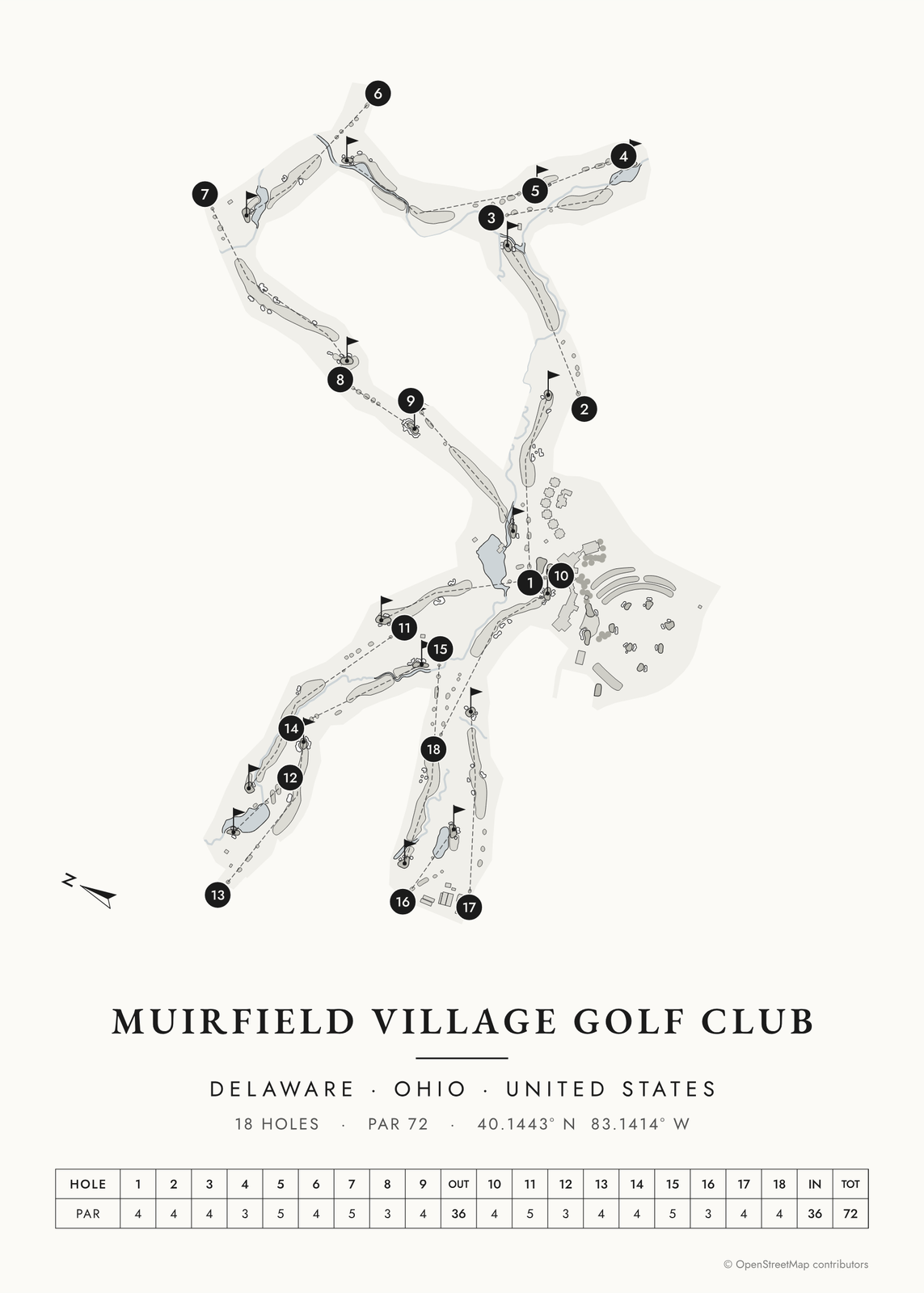 Muirfield Village in links ink, course onlyEdit this →More golf course prints →
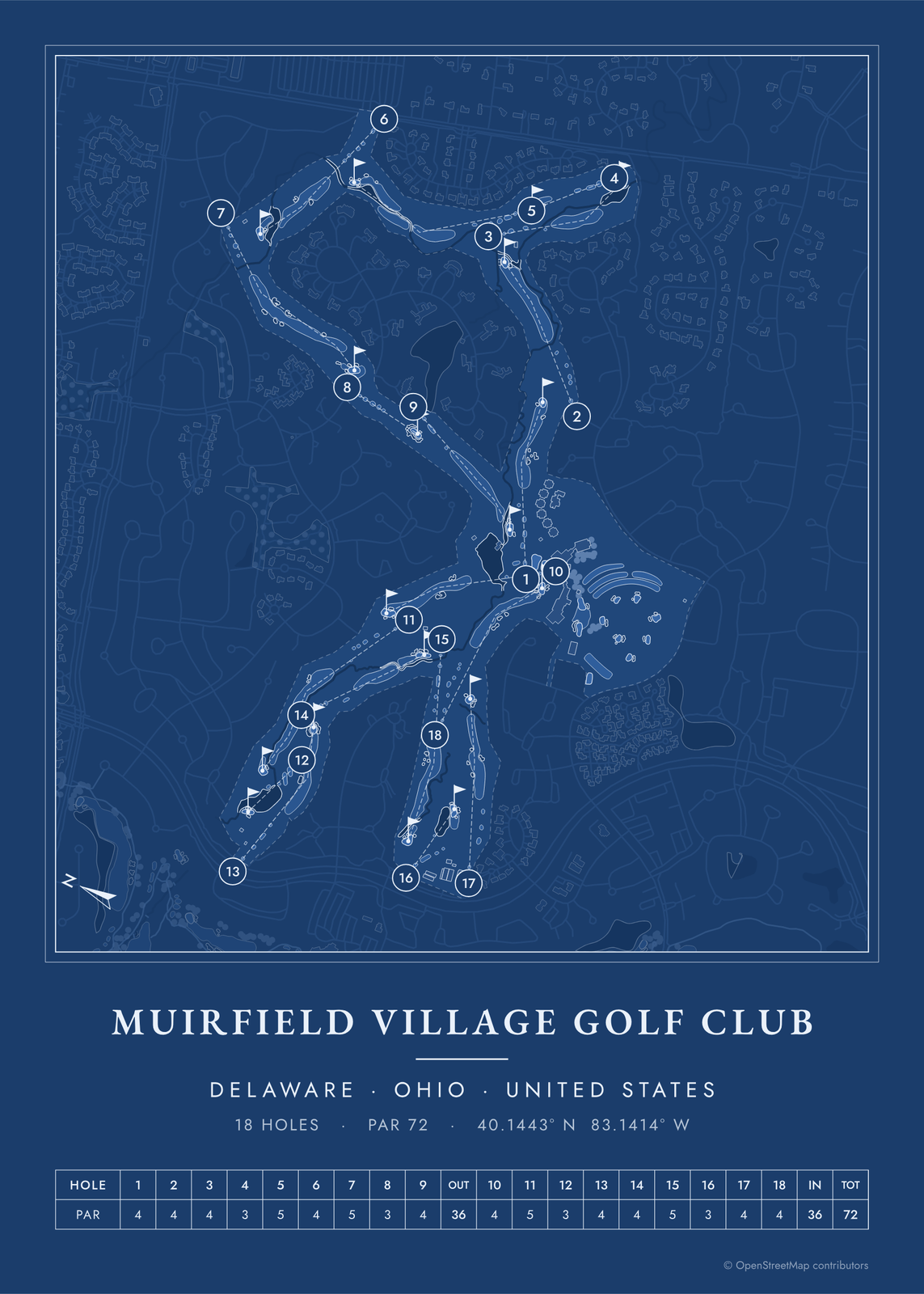 Muirfield Village as a blueprintEdit this →More golf course prints →
About the course
Jack Nicklaus built Muirfield Village on rolling, wooded land in Dublin, a suburb north of Columbus, not far from where he grew up. Desmond Muirhead helped early in the design, and the course opened in 1974. Nicklaus named it after Muirfield in Scotland, where he won his first Open in 1966.
The Memorial Tournament has been played here every year since 1976. Muirfield Village also hosted the 1987 Ryder Cup, the 1992 U.S. Amateur, the 1998 Solheim Cup and the 2013 Presidents Cup. After the 2020 Memorial, Nicklaus rebuilt every green and reshaped the bunkers.
Holes to know
- 11 (par 5): A creek crosses the fairway, then runs down the right and swings in front of the green.
- 12 (par 3): A tee shot over the course's largest lake to a kidney-shaped green.
- 14 (par 4): A short par 4. A creek crosses the fairway and runs along the right of a long, narrow green.
- 16 (par 3): A pond runs the length of the green on the left. The hole was reworked in 2010.
- 18 (par 4): The closing hole, with a creek in the trees on the left for drives pulled too far.
How to make your Muirfield Village poster
- Open the Muirfield Village map; the course is already picked.
- Choose colors: clubhouse greens, seaside, links ink, heritage watercolor, a vintage yardage book, evergreen night or blueprint.
- Keep the scorecard row and the hole numbers, or show the course alone; turn it to fit the sheet or put north up.
- Change the title and the line under it (a date, a round, a score), pick a size and download the print file.
Questions
Why is it called Muirfield Village?
Jack Nicklaus named it after Muirfield in Gullane, Scotland, where he won the 1966 Open, the first of his three Open titles.
Has Muirfield Village hosted the Ryder Cup?
Yes, in 1987. Europe won, its first Ryder Cup win in the United States.
Can the public play Muirfield Village?
No. It is a private club, so the course is for members and their guests.
Where does the course map come from?
From OpenStreetMap, where volunteers trace fairways, greens, bunkers, water and trees from aerial imagery. It's a map of the course as it's mapped there, not the club's official yardage book, and its credit line prints small in the corner.
What sizes can I print?
US Letter, 8 × 10, 11 × 14, 12 × 16 and 12 × 18 in, A4 and A3, free. You download a 300 DPI JPEG drawn at the size you pick, for any print shop. Larger prints, up to 24 × 36 in, are coming soon.
Is this an official course map?
No. Posterage isn't affiliated with the course, its club or any tournament played there. The poster is drawn from open map data.
Related
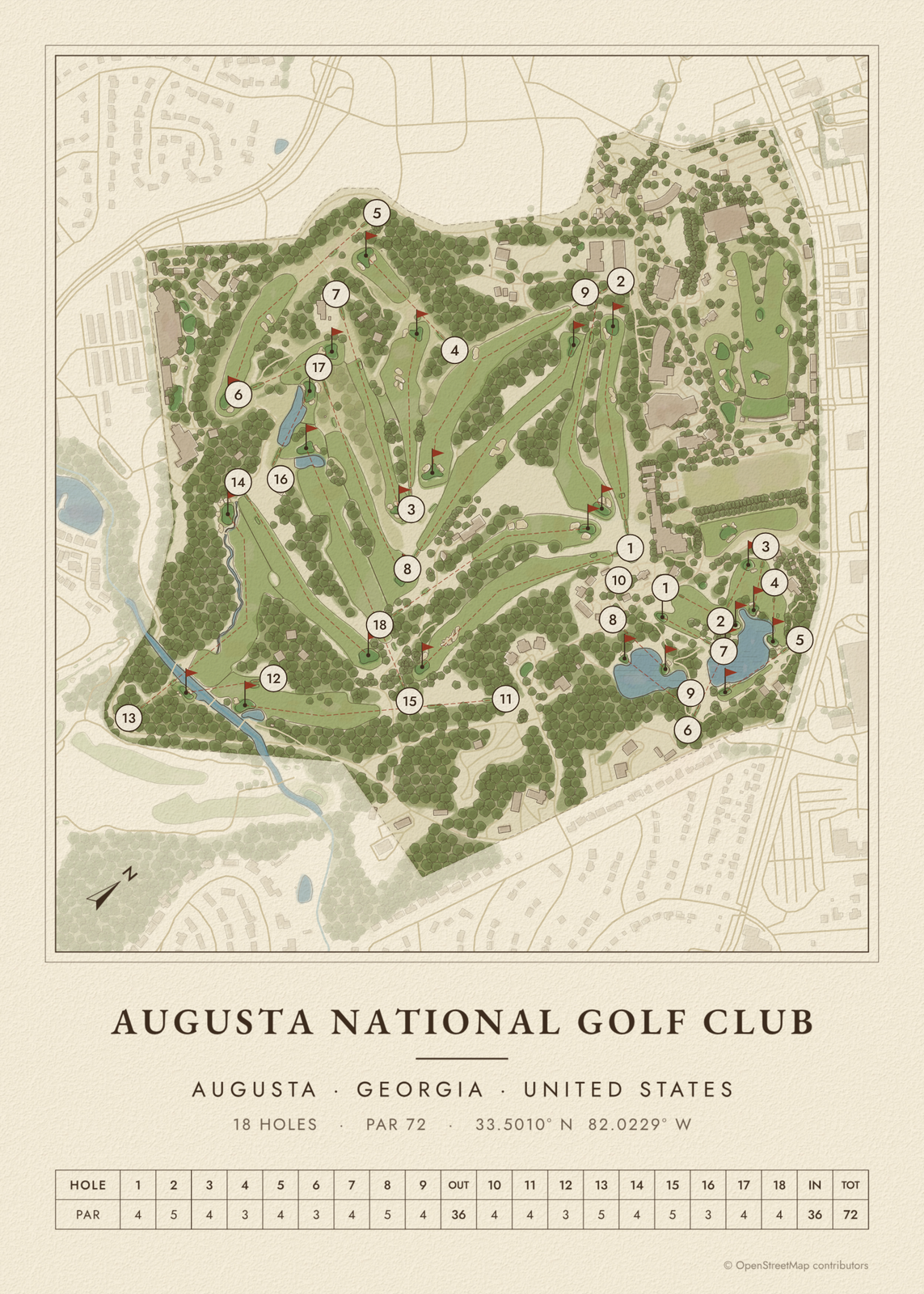
Gift ideas by occasion




Every example is made with the Posterage generators. Change anything, then download it as a 300 DPI JPEG.