Royal County Down course map the links below the Mountains of Mourne
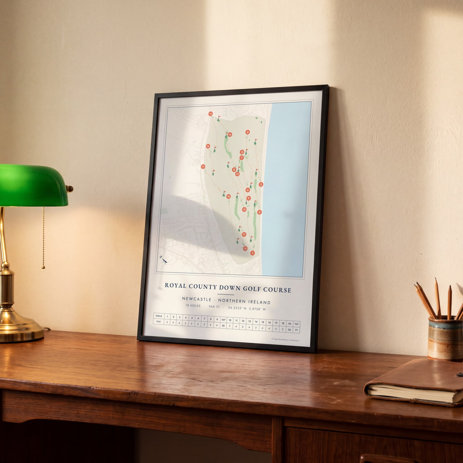
This poster maps the Championship Links at Royal County Down as OpenStreetMap draws it: fairways threading through the dunes, greens, bunkers and each numbered hole along Dundrum Bay. It suits members, visitors home from a trip to Northern Ireland and anyone who loves links golf.
On the wall
A few of them framed at home. Open any one to make it yours.
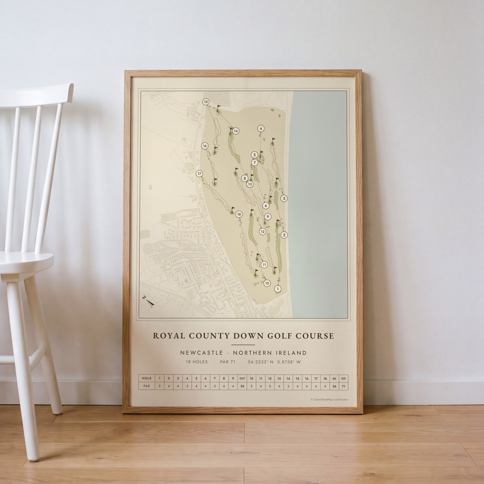 Royal County Down as a vintage yardage bookEdit this →
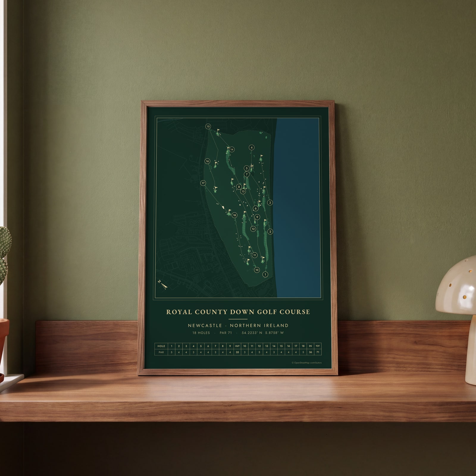 Royal County Down in evergreen night colorsEdit this →
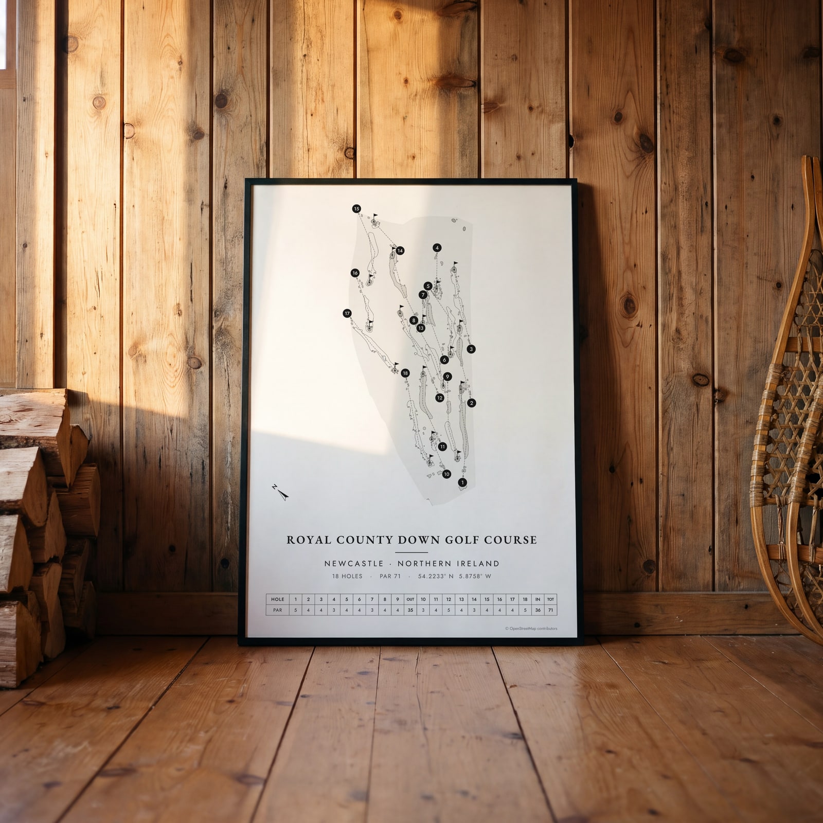 Royal County Down in links ink, course onlyEdit this →
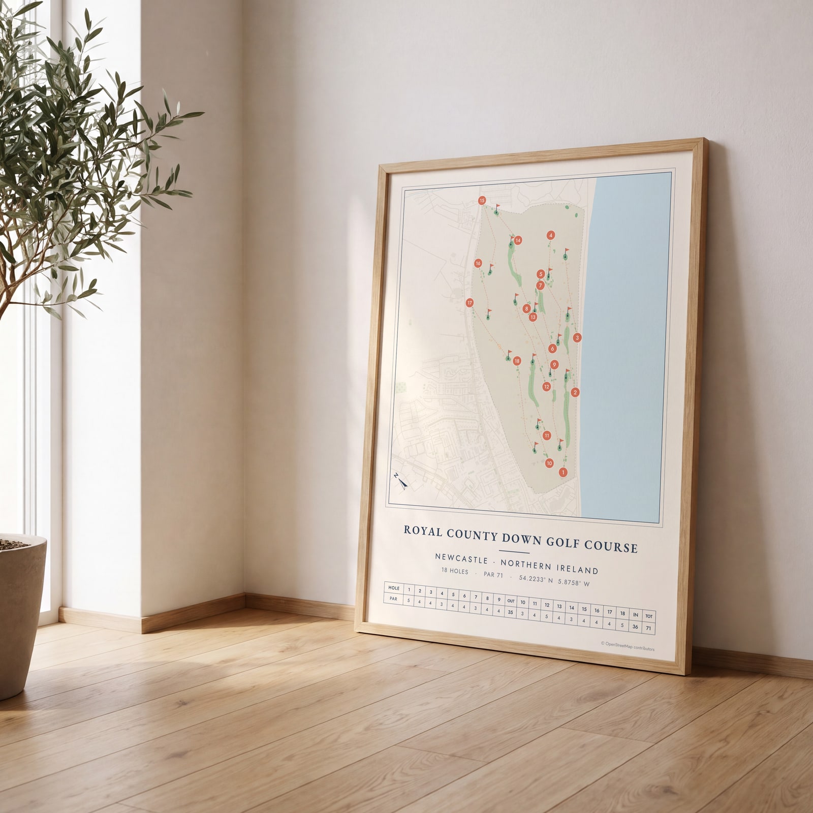 Royal County Down course map poster, every hole numberedEdit this →
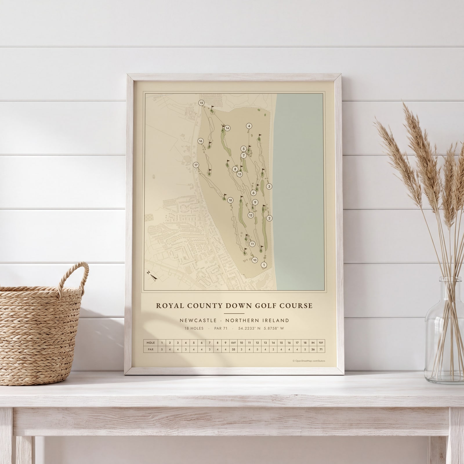 Royal County Down as a vintage yardage bookEdit this →
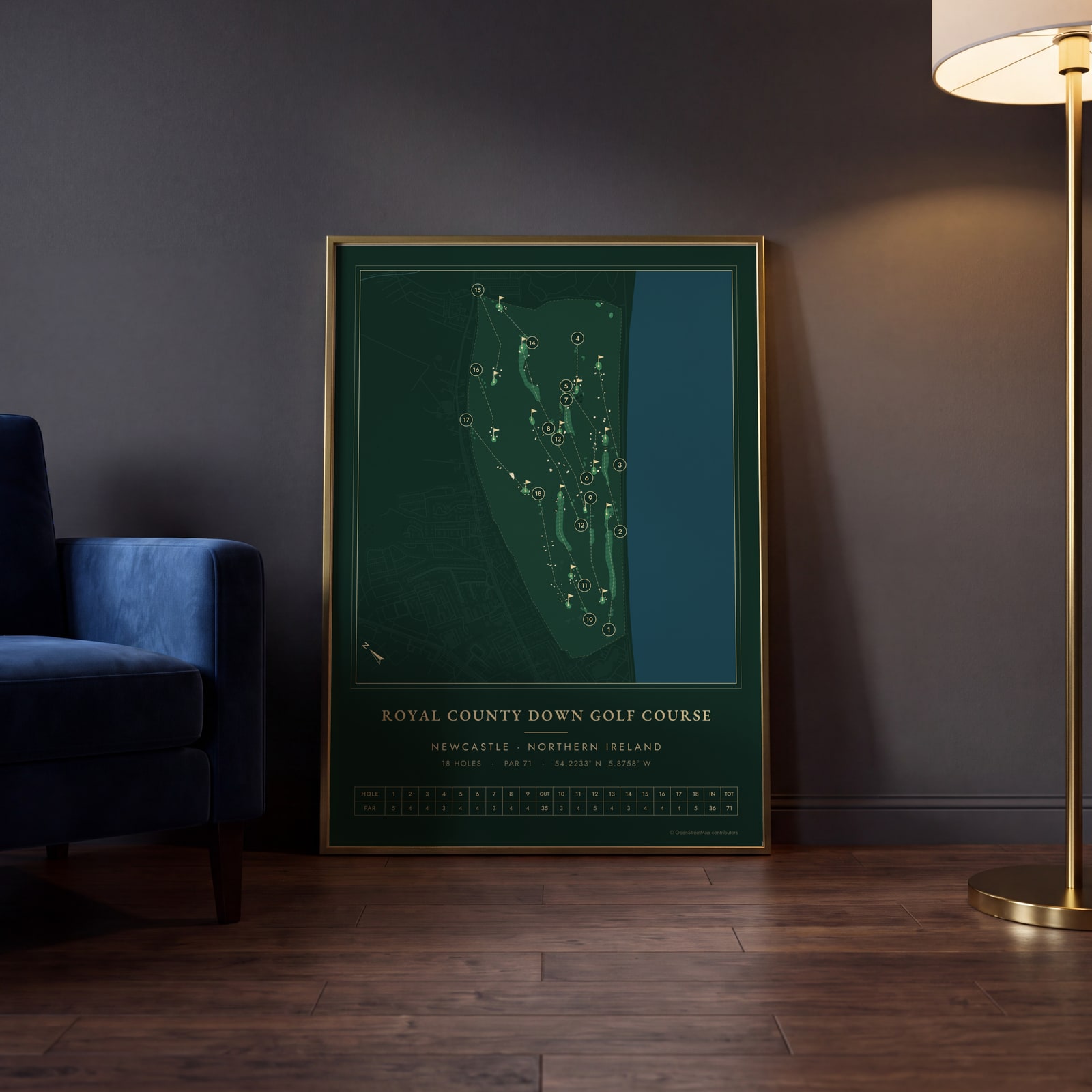 Royal County Down in evergreen night colorsEdit this →
Examples
Open any of them to change the words, the place, the date and the style, then download the print file.
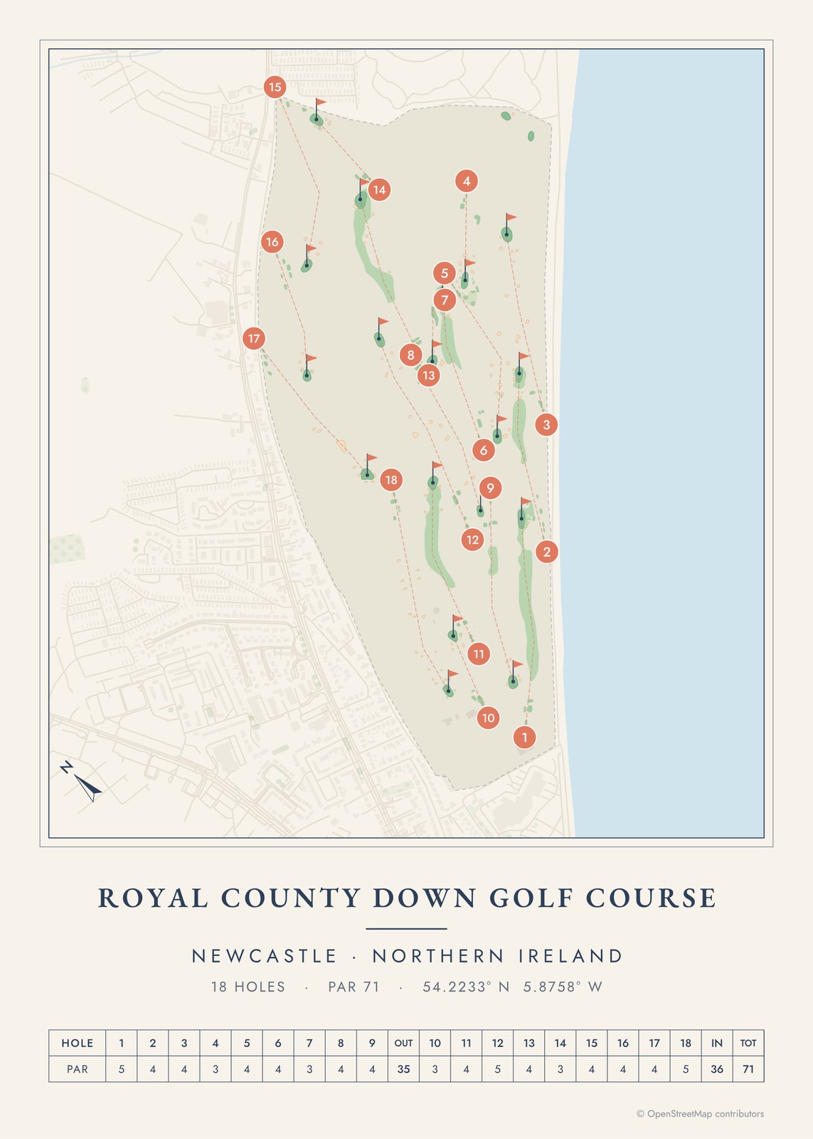 Royal County Down course map poster, every hole numberedEdit this →More golf course prints →
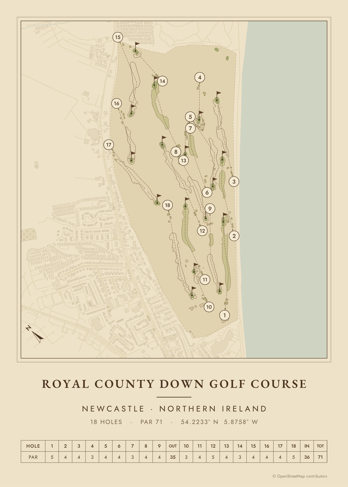 Royal County Down as a vintage yardage bookEdit this →More golf course prints →
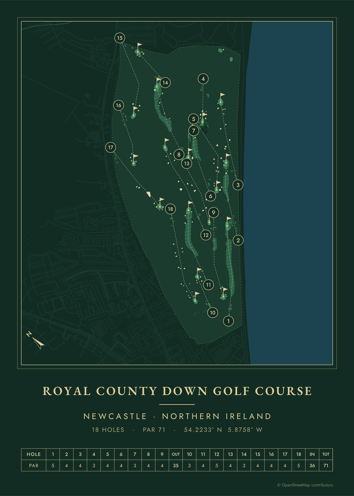 Royal County Down in evergreen night colorsEdit this →More golf course prints →
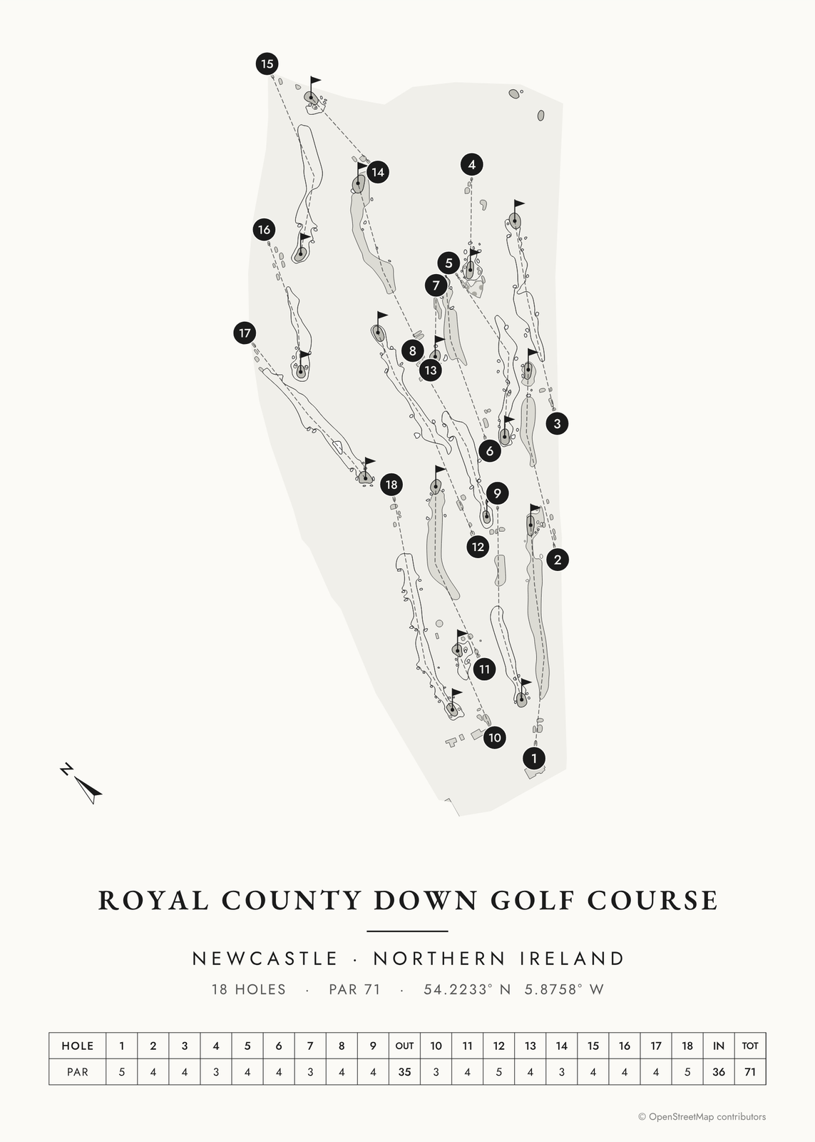 Royal County Down in links ink, course onlyEdit this →More golf course prints →
About the course
Royal County Down was founded in 1889 in Newcastle, County Down, and Old Tom Morris came over from St Andrews in its early years to help shape and extend the links. Harry Vardon and Harry Colt made later changes. The club also has a second course, the Annesley Links.
The links run through dunes along Dundrum Bay, inside the Murlough Nature Reserve, with the Mountains of Mourne and Slieve Donard rising behind the town. The course is known for blind tee shots, gorse and heather, and bunkers with shaggy lips of marram grass, fescue and heather. It has hosted the 2007 Walker Cup, the 1968 Curtis Cup, the Senior British Open from 2000 to 2002, and the Irish Open in 2015 and 2024.
Holes to know
- 1 (par 5): Opens along the shore of Dundrum Bay.
- 4 (par 3): A tee shot over gorse to a green ringed by bunkers, with the Mournes ahead.
- 9 (par 4): The drive goes from beside a big dune down to a fairway far below, then the approach crosses two bunkers to a raised green, with Slieve Donard behind.
- 13 (par 4): The fairway winds through a valley in the dunes.
How to make your Royal County Down poster
- Open the Royal County Down map; the course is already picked.
- Choose colors: clubhouse greens, seaside, links ink, heritage watercolor, a vintage yardage book, evergreen night or blueprint.
- Keep the scorecard row and the hole numbers, or show the course alone; turn it to fit the sheet or put north up.
- Change the title and the line under it (a date, a round, a score), pick a size and download the print file.
Questions
Can visitors play Royal County Down?
Yes. The Championship Links takes visitors on set days, booked through the club's office, and summer dates go early.
What are bearded bunkers?
Bunkers whose edges are left shaggy with marram grass, fescue and heather, so the lip hangs over the sand. They are one of Royal County Down's best-known features.
Has Royal County Down hosted the Open?
No. In Northern Ireland the Open has gone to Royal Portrush. Royal County Down has hosted the Irish Open, the Walker Cup, the Curtis Cup and the Senior British Open.
Where does the course map come from?
From OpenStreetMap, where volunteers trace fairways, greens, bunkers, water and trees from aerial imagery. It's a map of the course as it's mapped there, not the club's official yardage book, and its credit line prints small in the corner.
What sizes can I print?
US Letter, 8 × 10, 11 × 14, 12 × 16 and 12 × 18 in, A4 and A3, free. You download a 300 DPI JPEG drawn at the size you pick, for any print shop. Larger prints, up to 24 × 36 in, are coming soon.
Is this an official course map?
No. Posterage isn't affiliated with the course, its club or any tournament played there. The poster is drawn from open map data.
Related
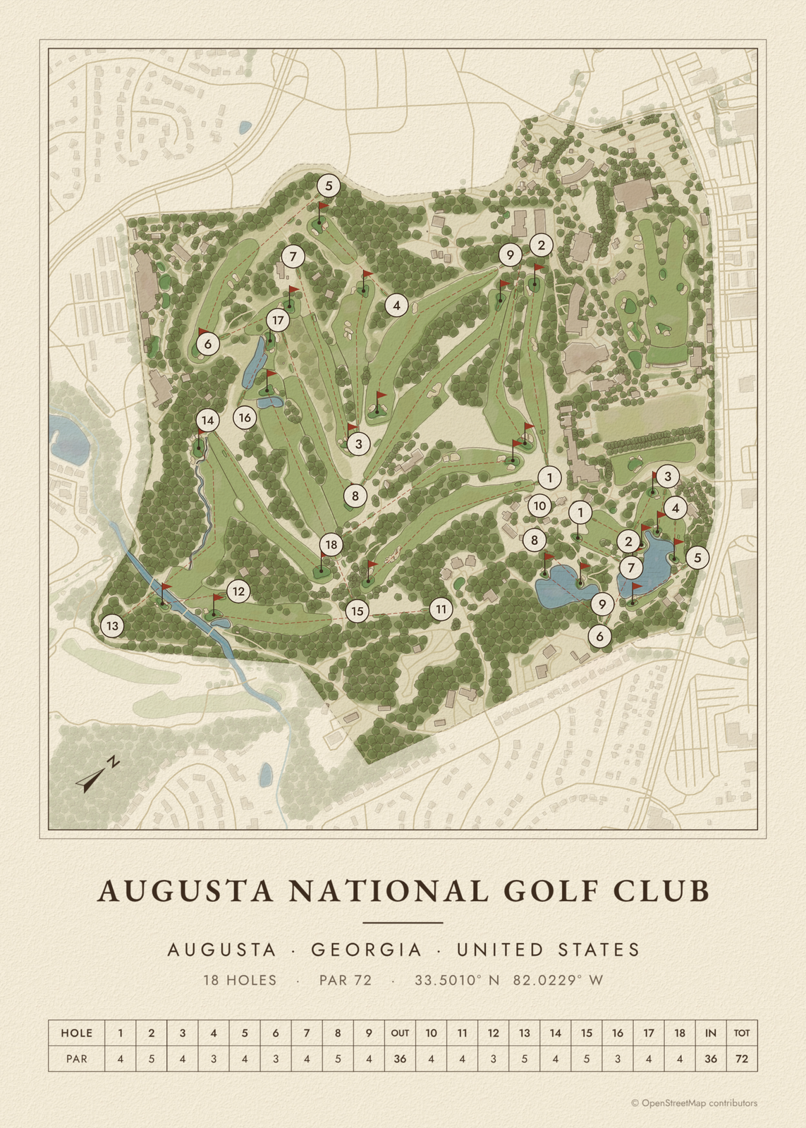
Gift ideas by occasion




Every example is made with the Posterage generators. Change anything, then download it as a 300 DPI JPEG.