Shinnecock course map Shinnecock Hills, hole by hole
This poster maps Shinnecock Hills Golf Club on Long Island as OpenStreetMap draws it: fairways, greens, bunkers and the sandy rough between them, with each hole numbered from tee to green. It suits members, U.S. Open fans and anyone who knows the course from TV.
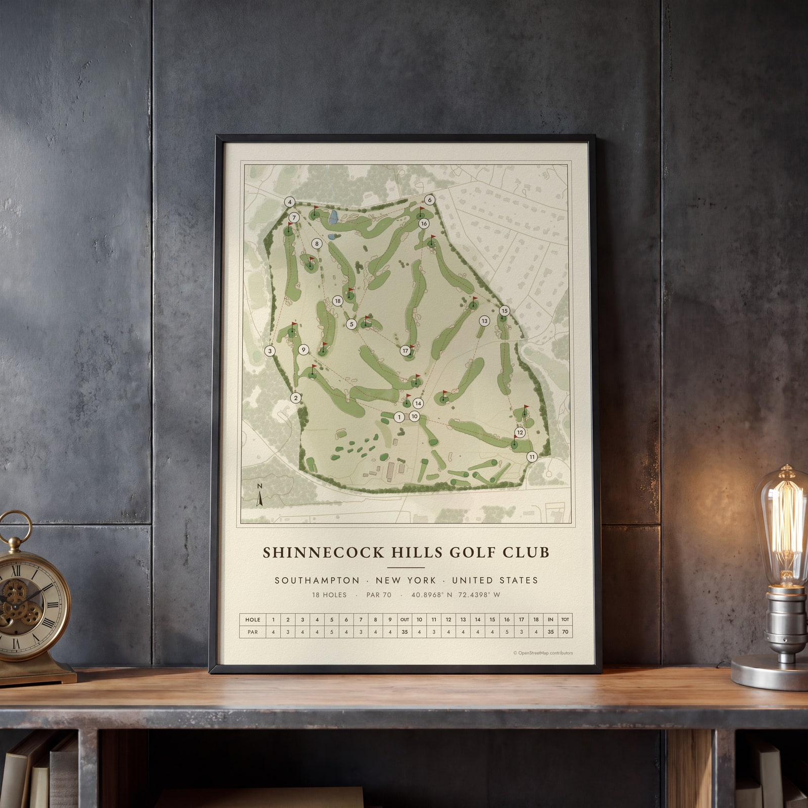
On the wall
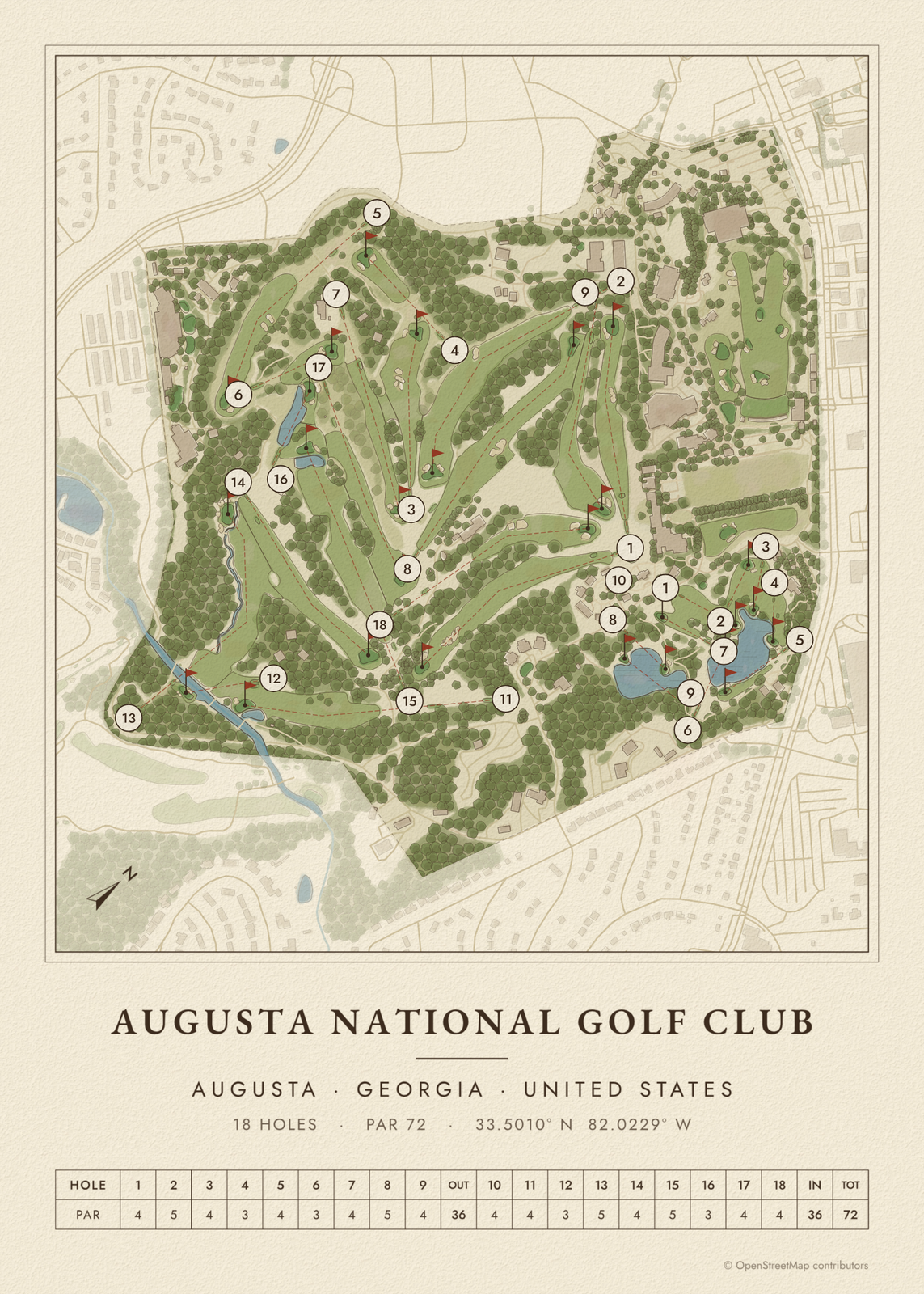
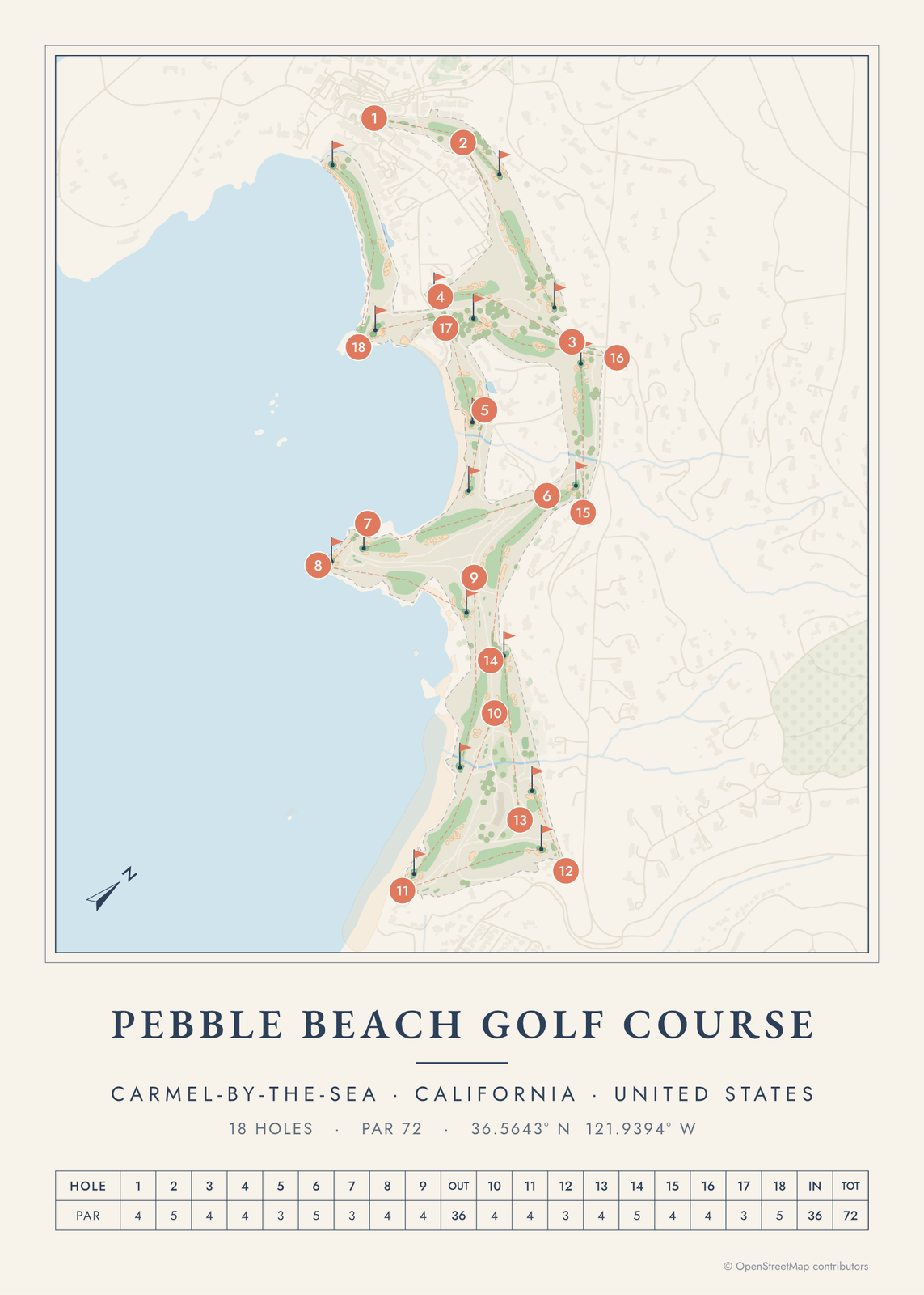
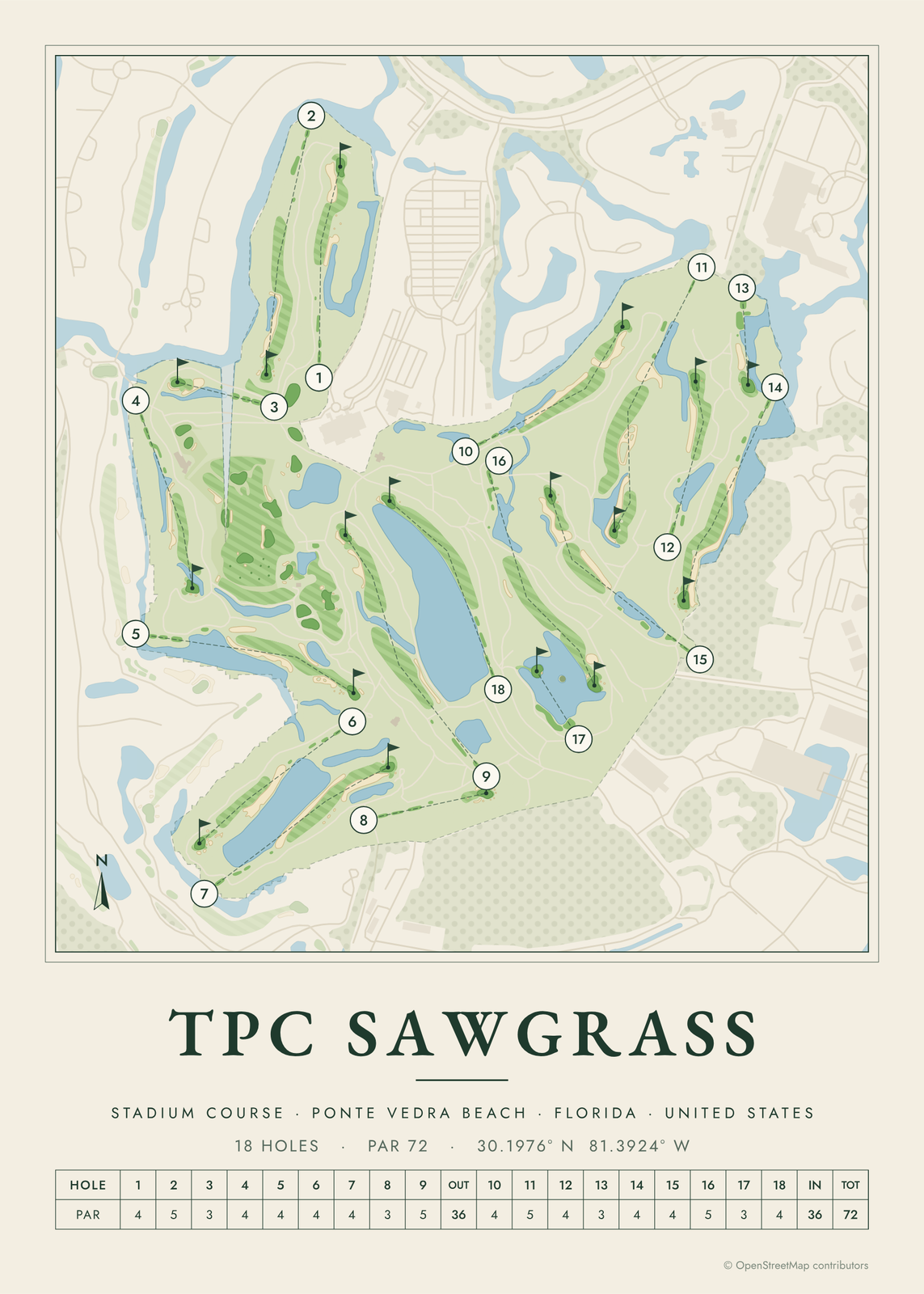
A few of them framed at home. Open any one to make it yours.
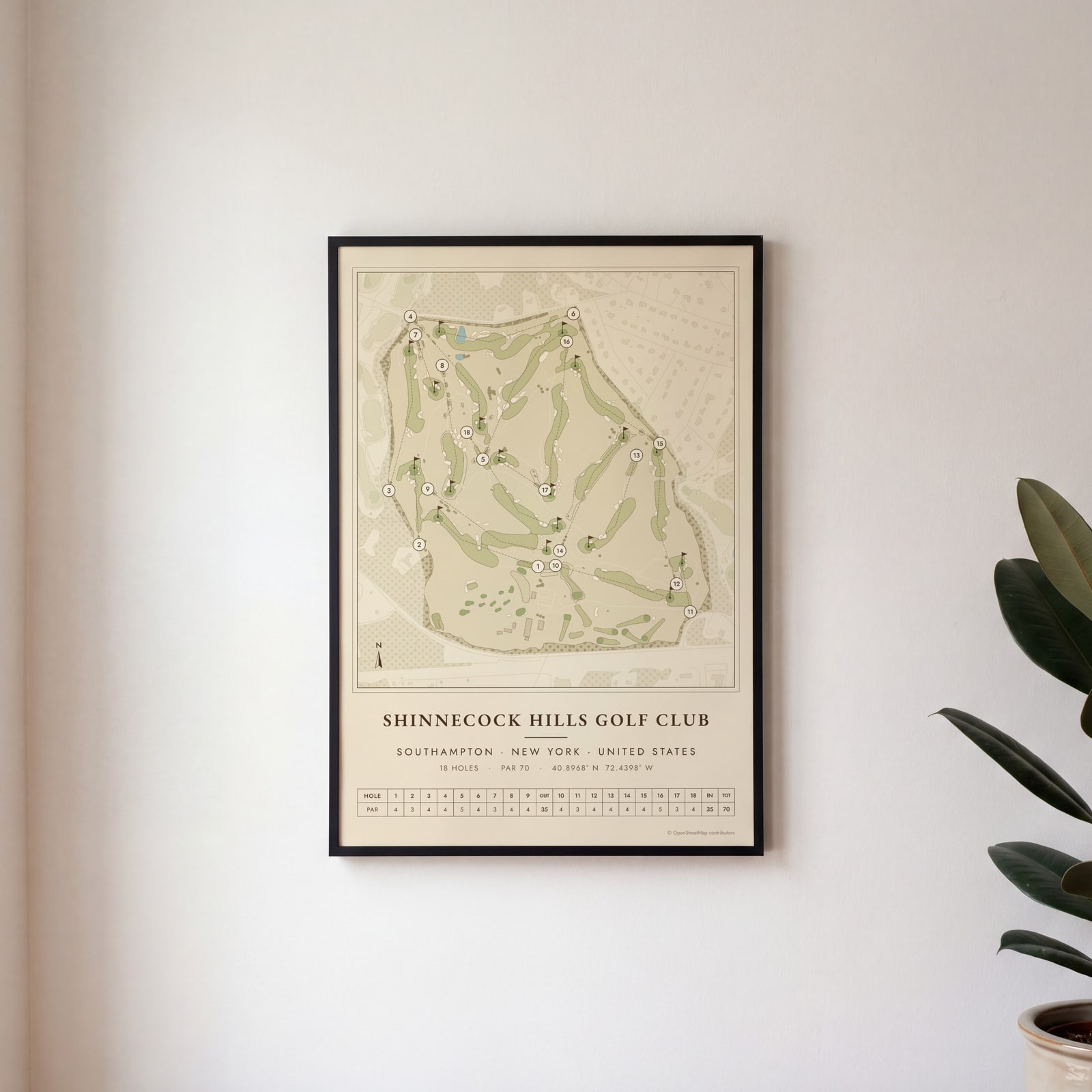
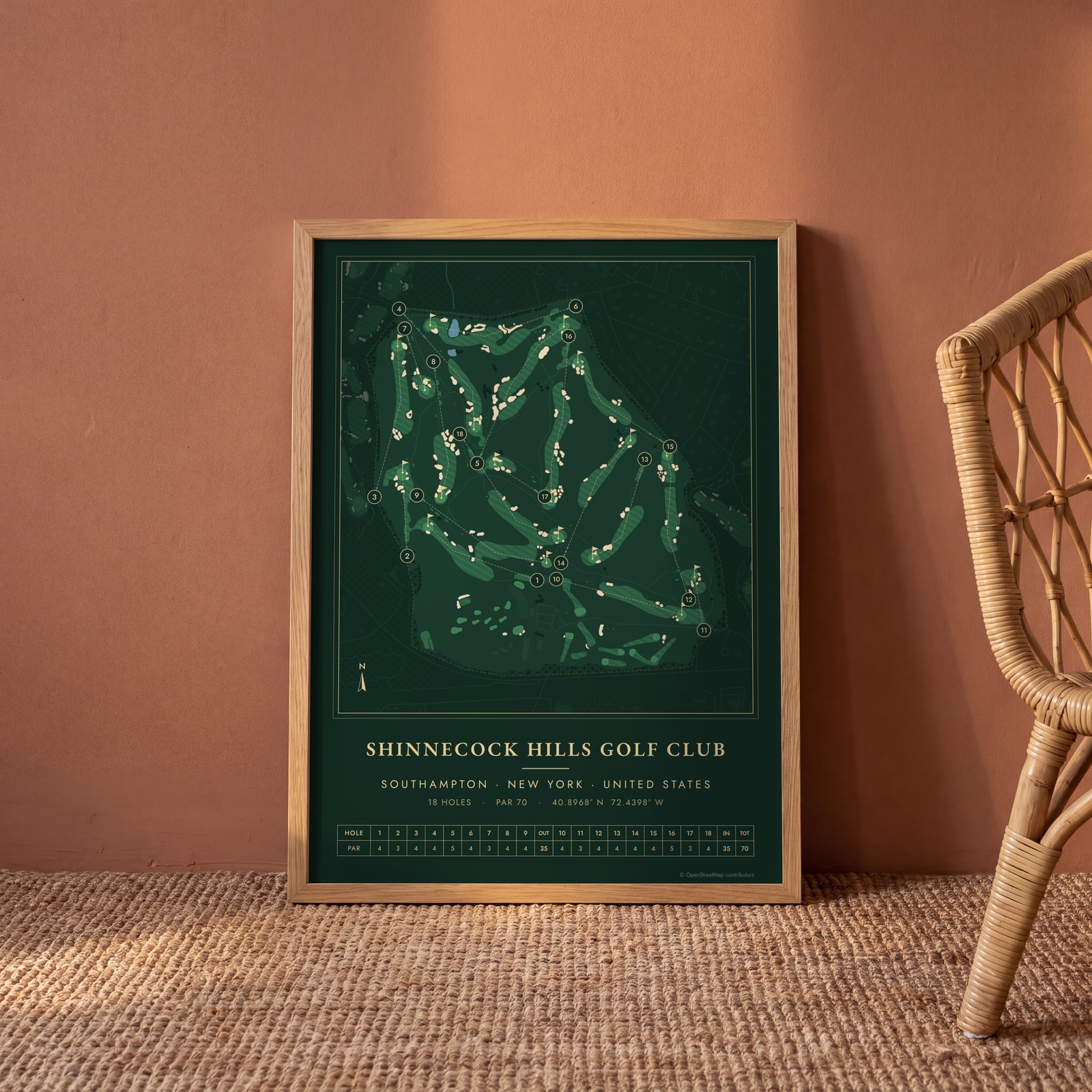
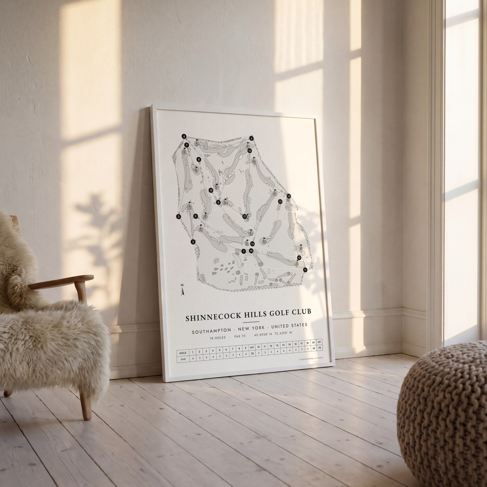
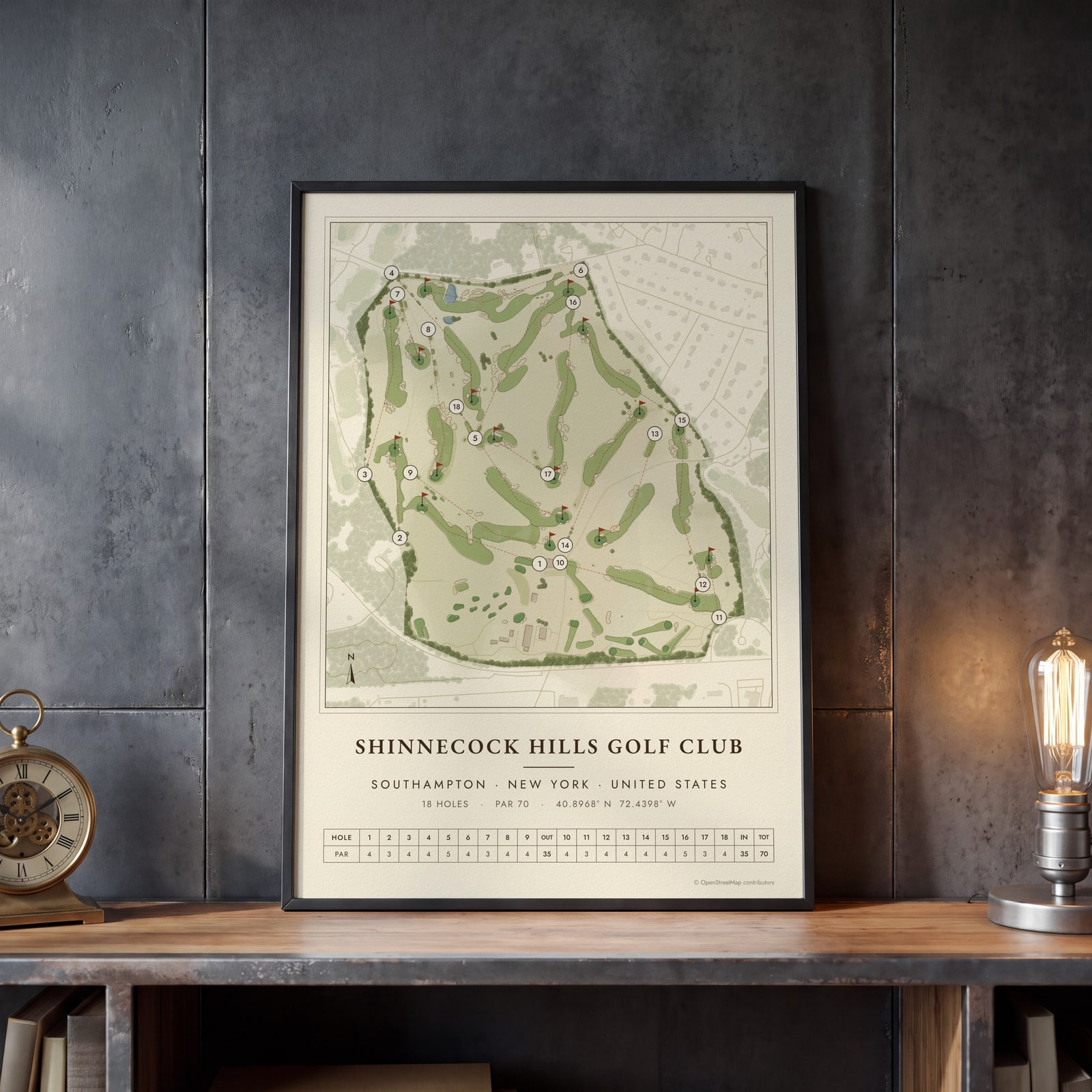
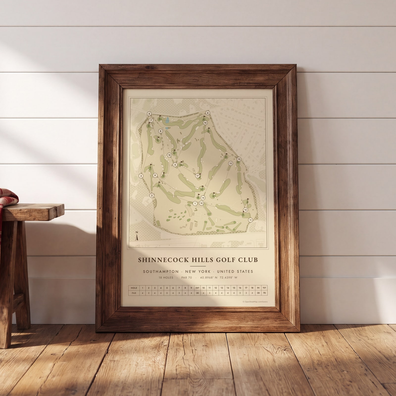
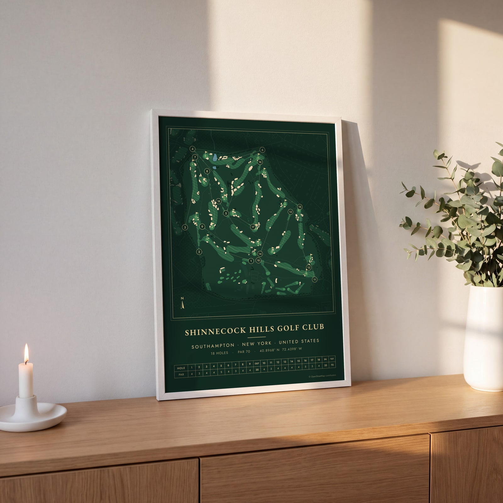
Examples
Open any of them to change the words, the place, the date and the style, then download the print file.
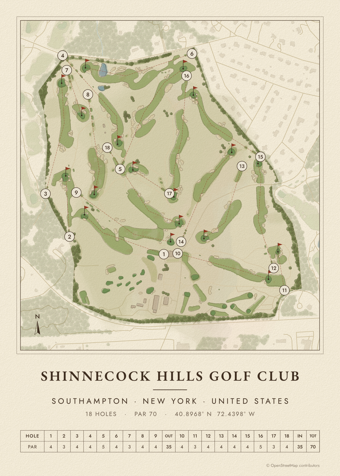 Shinnecock course map poster, every hole numberedEdit this →More golf course prints →
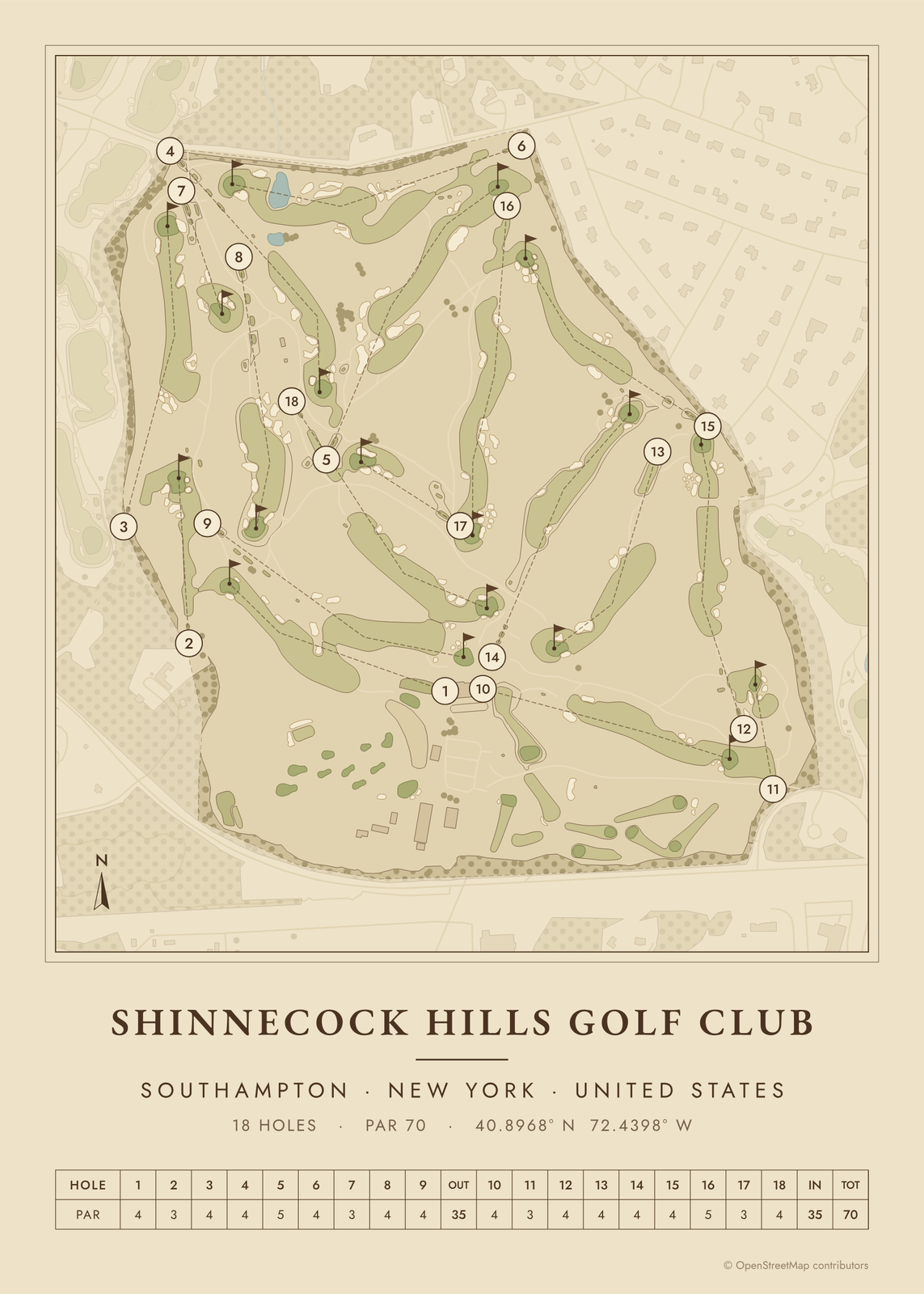 Shinnecock as a vintage yardage bookEdit this →More golf course prints →
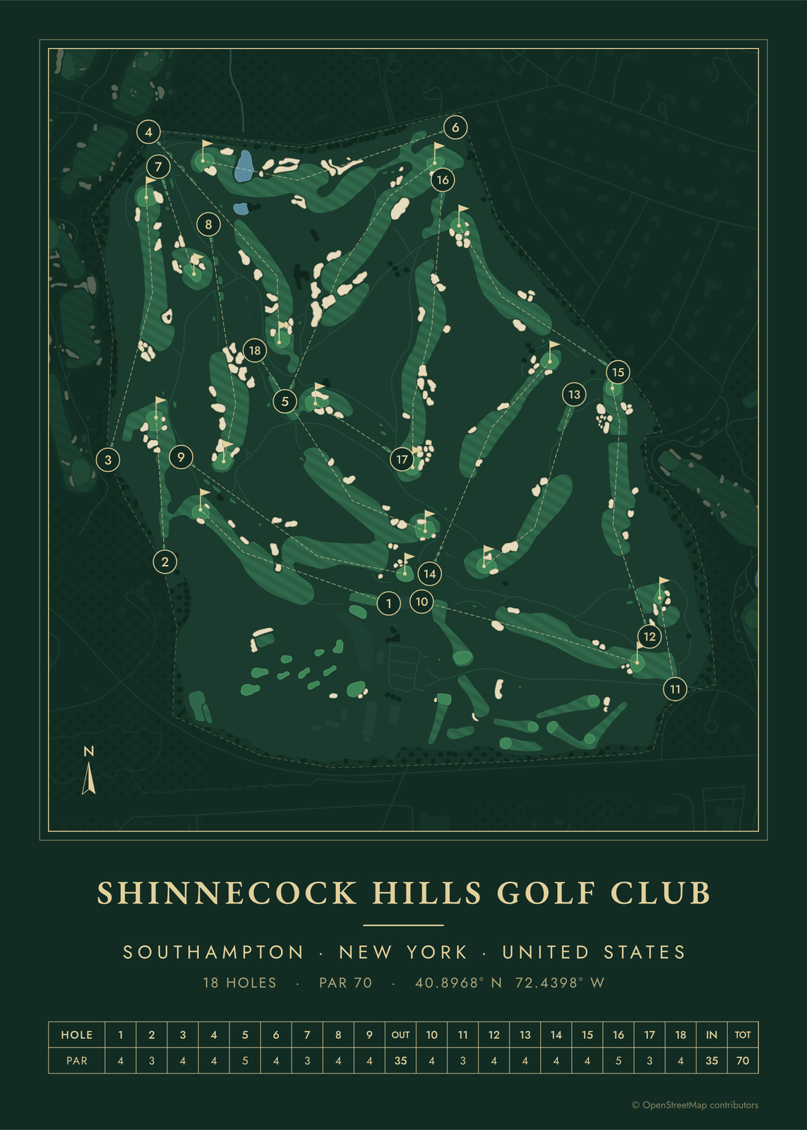 Shinnecock in evergreen night colorsEdit this →More golf course prints →
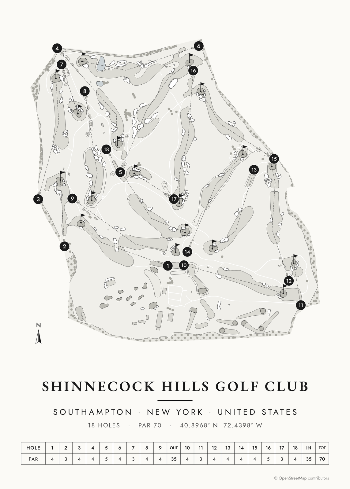 Shinnecock in links ink, course onlyEdit this →More golf course prints →
About the course
Shinnecock Hills was founded in 1891 in Southampton, on sandy hills between Peconic Bay and the Atlantic. Willie Davis laid out the first 12 holes and Willie Dunn Jr. stretched it to 18, but today's routing is William Flynn's, from 1931. Bill Coore and Ben Crenshaw led a later restoration.
The club was one of the five that founded the USGA in 1894, and its 1892 clubhouse by Stanford White is often cited as the first built for golf in America. Shinnecock has hosted the U.S. Open six times, from 1896 to 2026, plus the 1977 Walker Cup.
Holes to know
- 6, Pond (par 4): Named for the pond that is the only water on the course.
- 7, Redan (par 3): A Redan green that falls away from the tee. In the 2004 U.S. Open it got so firm that officials watered it between groups.
- 9, Ben Nevis (par 4): Climbs to a green on the ridge just below the clubhouse.
- 11, Hill Head (par 3): A short par 3 to a raised, well-bunkered green that is hard to hold when it's firm or windy.
- 18, Home (par 4): The closing hole, played back toward the clubhouse on the hill.
How to make your Shinnecock poster
- Open the Shinnecock map; the course is already picked.
- Choose colors: clubhouse greens, seaside, links ink, heritage watercolor, a vintage yardage book, evergreen night or blueprint.
- Keep the scorecard row and the hole numbers, or show the course alone; turn it to fit the sheet or put north up.
- Change the title and the line under it (a date, a round, a score), pick a size and download the print file.
Questions
How many U.S. Opens has Shinnecock Hills hosted?
Six: 1896, 1986, 1995, 2004, 2018 and 2026.
Is Shinnecock Hills a links course?
It plays like one, on sandy ground with fescue and wind, but it sits between Peconic Bay and the Atlantic rather than right on the shore, so it's usually called links-style.
Can the public play Shinnecock Hills?
No. It is a private club, so play is for members and their guests.
Where does the course map come from?
From OpenStreetMap, where volunteers trace fairways, greens, bunkers, water and trees from aerial imagery. It's a map of the course as it's mapped there, not the club's official yardage book, and its credit line prints small in the corner.
What sizes can I print?
US Letter, 8 × 10, 11 × 14, 12 × 16 and 12 × 18 in, A4 and A3, free. You download a 300 DPI JPEG drawn at the size you pick, for any print shop. Larger prints, up to 24 × 36 in, are coming soon.
Is this an official course map?
No. Posterage isn't affiliated with the course, its club or any tournament played there. The poster is drawn from open map data.
Related
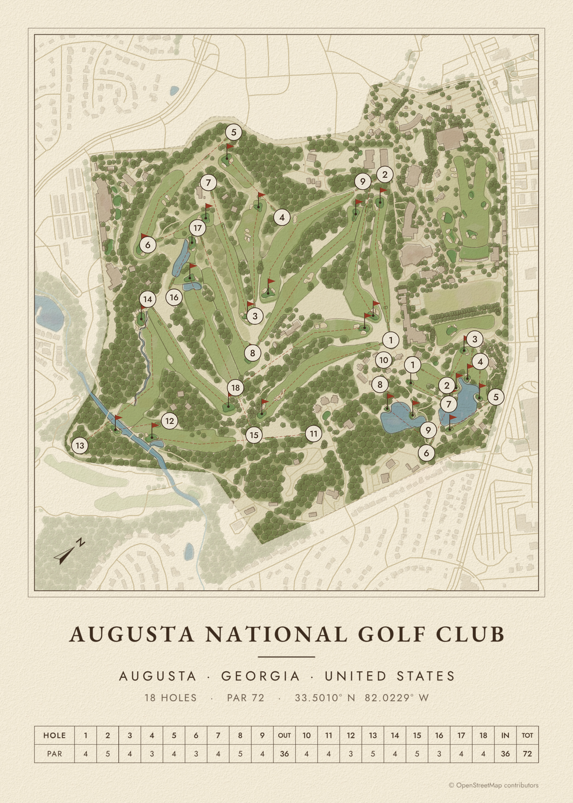
Gift ideas by occasion




Every example is made with the Posterage generators. Change anything, then download it as a 300 DPI JPEG.