St Andrews Old Course map out along the bay and back to town
This poster draws the Old Course from OpenStreetMap: the shared fairways, the big double greens, the pot bunkers and the beach beside it, with each hole numbered and lined from tee to green. It's for anyone who has walked over the Swilcan Bridge, or plans to.
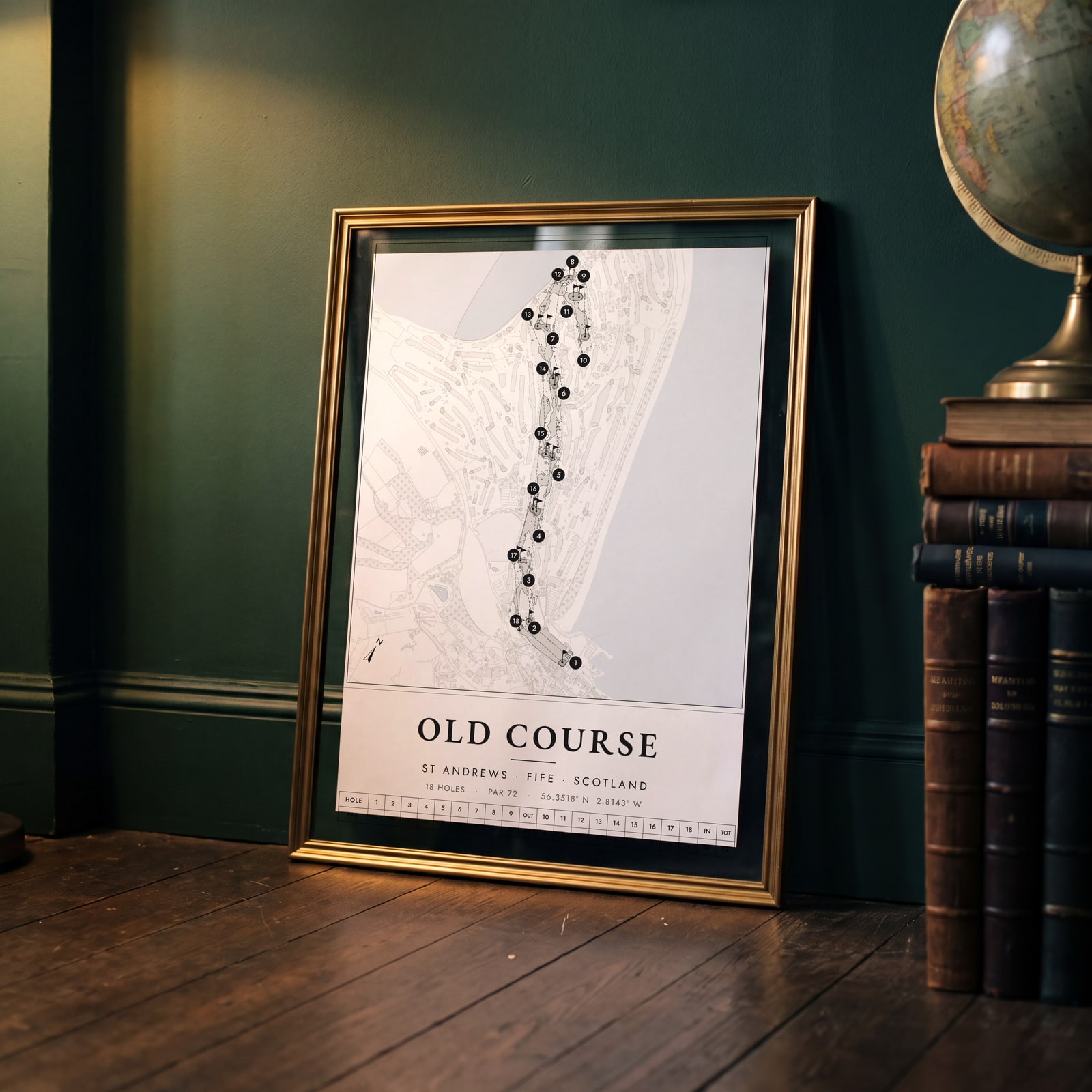
On the wall
A few of them framed at home. Open any one to make it yours.
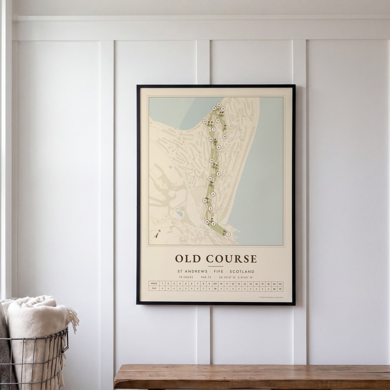 St Andrews Old as a vintage yardage bookEdit this →
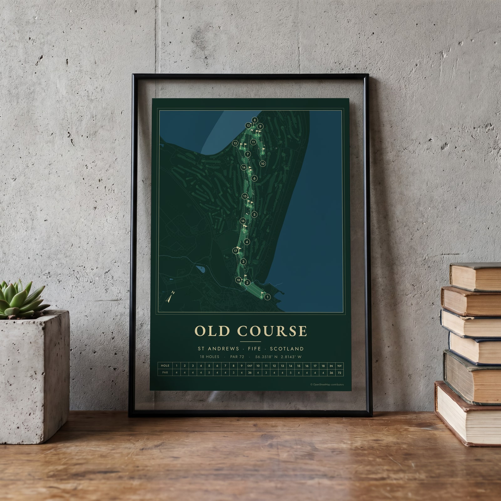 St Andrews Old in evergreen night colorsEdit this →
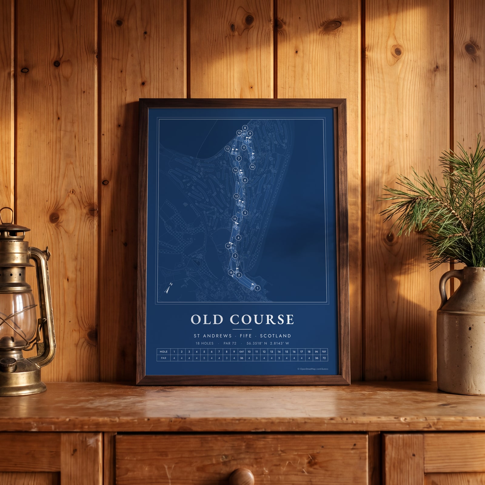 St Andrews Old as a blueprintEdit this →
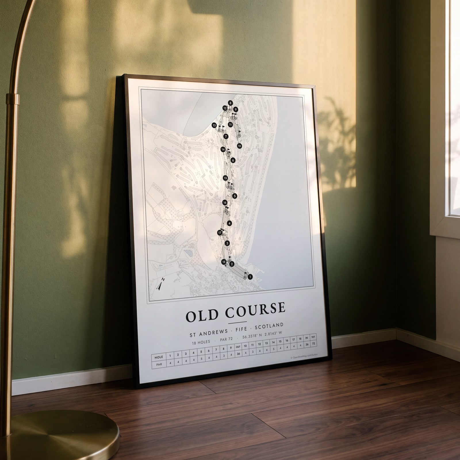 St Andrews Old course map poster, every hole numberedEdit this →
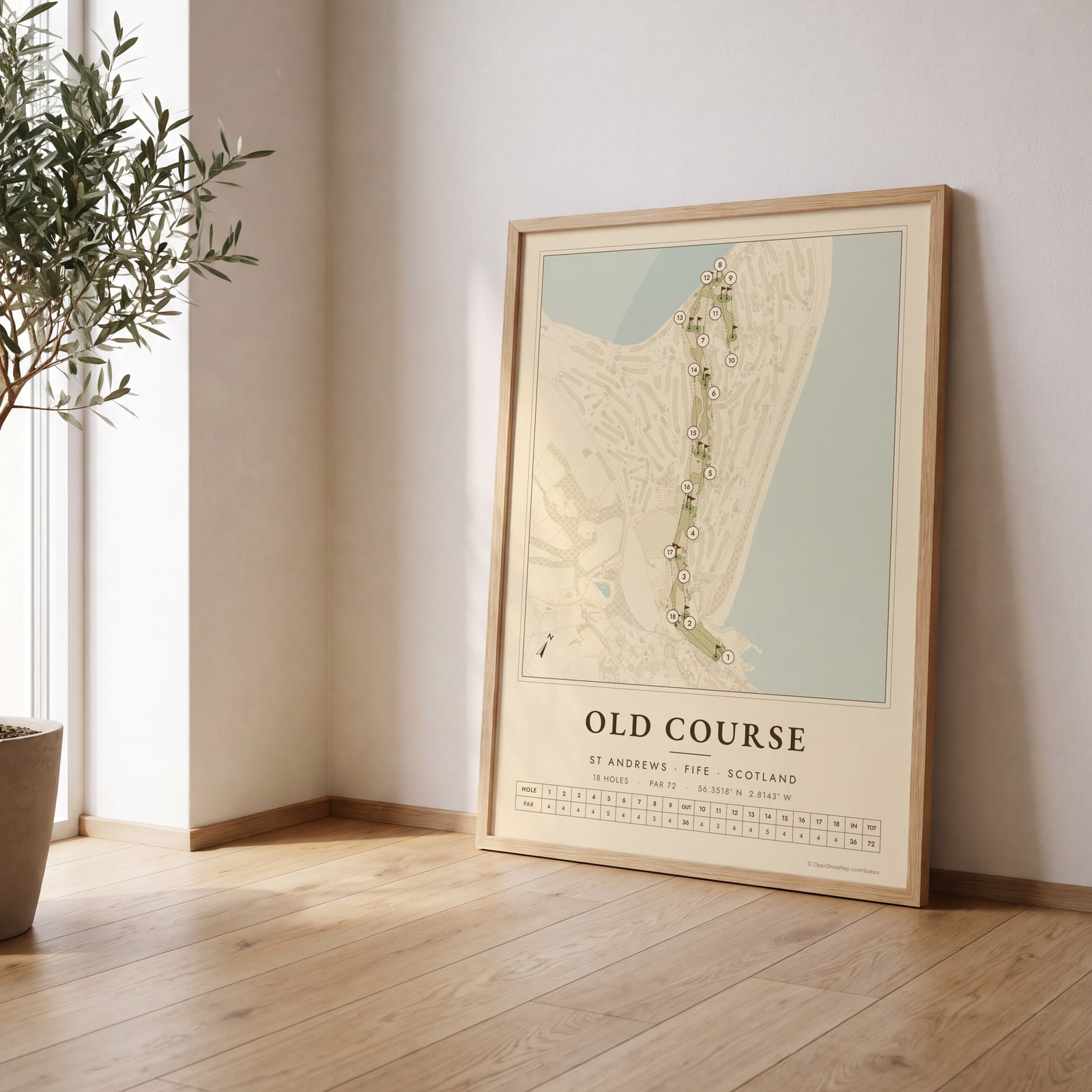 St Andrews Old as a vintage yardage bookEdit this →
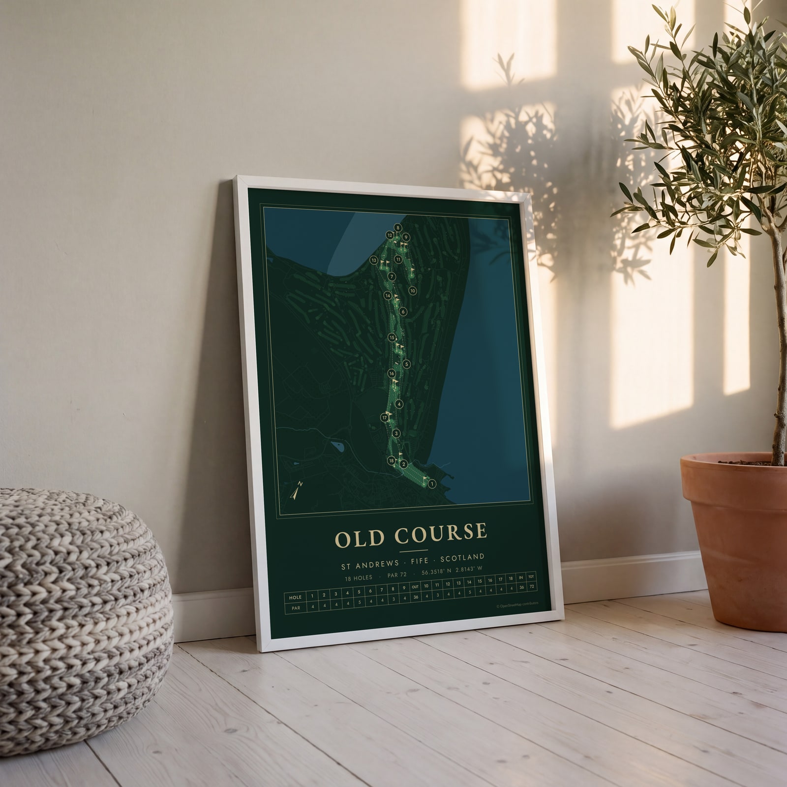 St Andrews Old in evergreen night colorsEdit this →
Examples
Open any of them to change the words, the place, the date and the style, then download the print file.
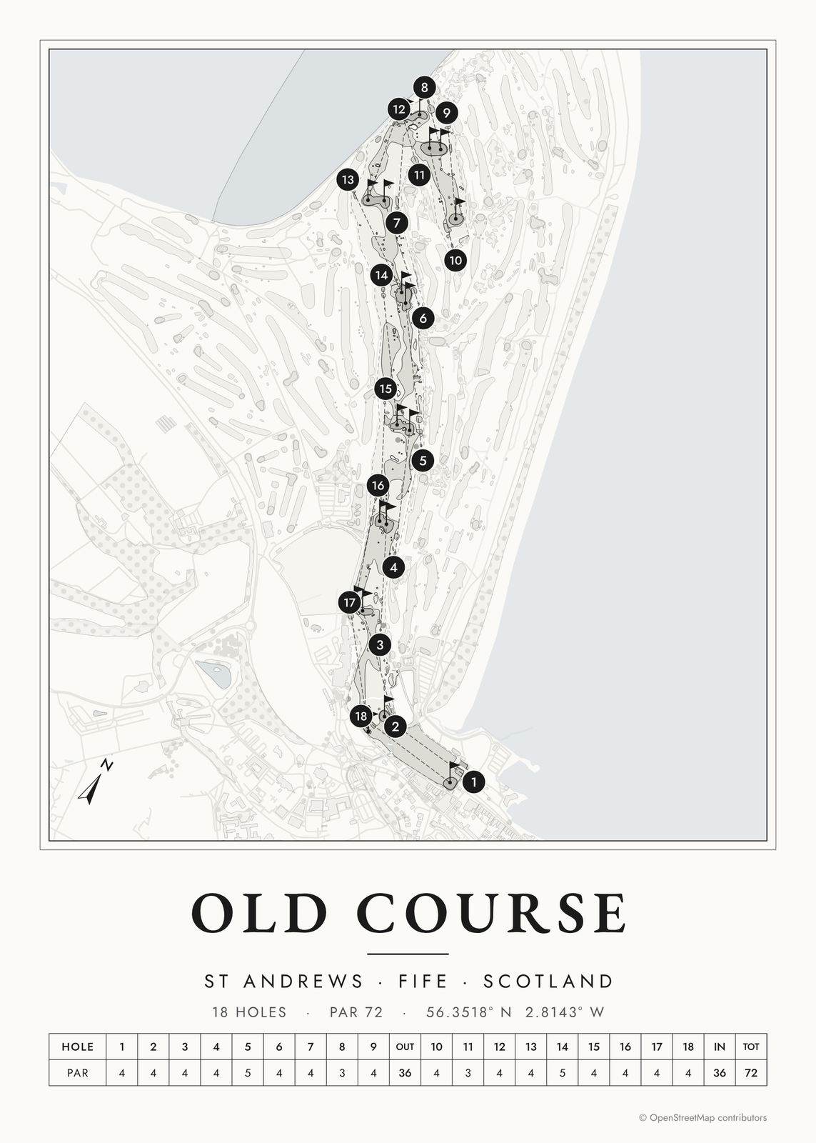 St Andrews Old course map poster, every hole numberedEdit this →More golf course prints →
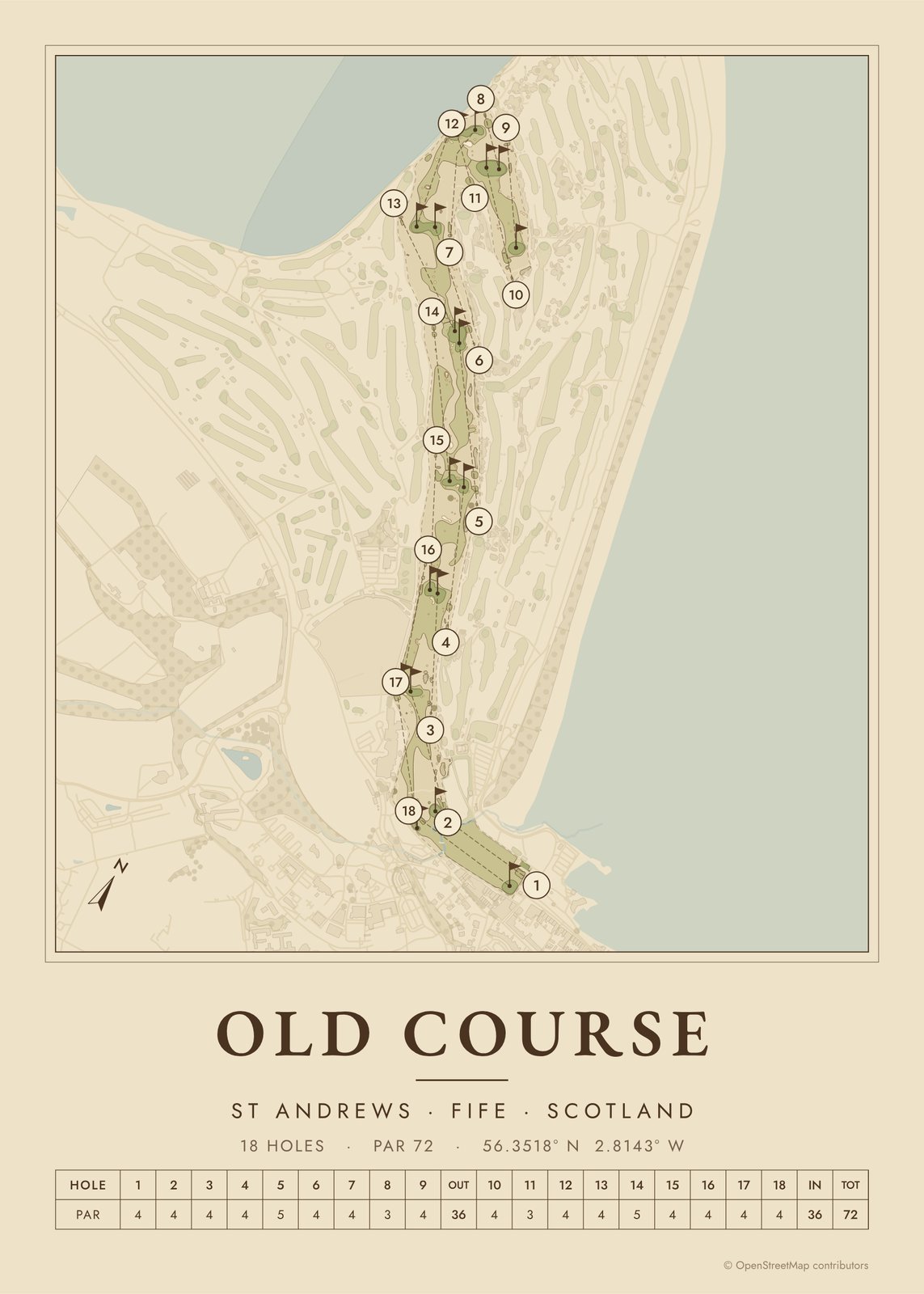 St Andrews Old as a vintage yardage bookEdit this →More golf course prints →
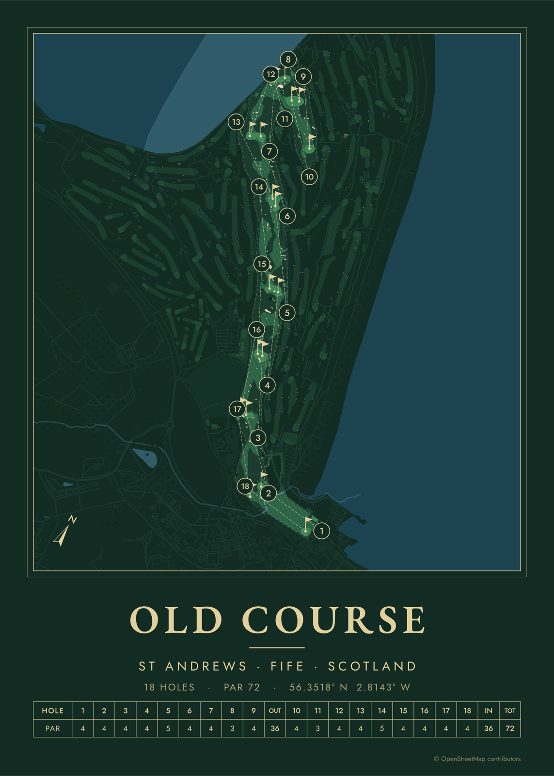 St Andrews Old in evergreen night colorsEdit this →More golf course prints →
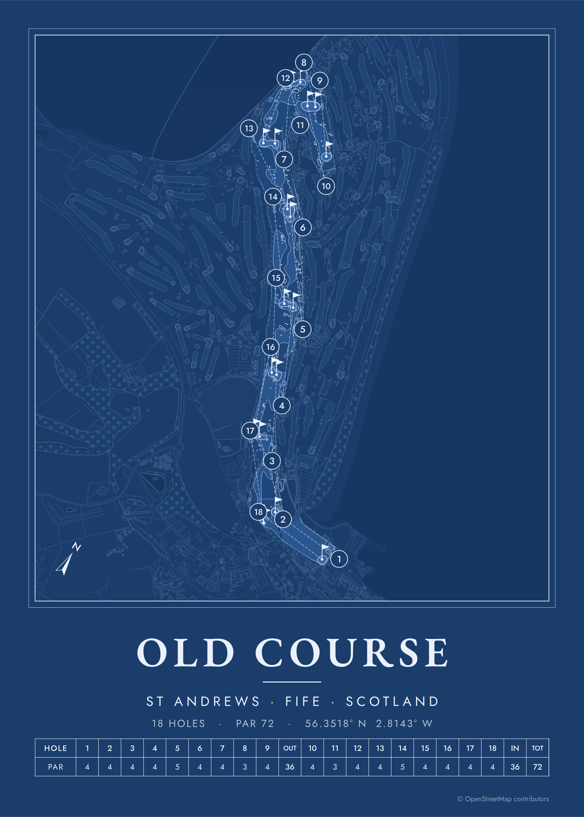 St Andrews Old as a blueprintEdit this →More golf course prints →
About the course
No one designed the Old Course. Golf has been played on the links at St Andrews since the early 1400s, and the course took shape over centuries. In 1764 it went from 22 holes to 18, which became the standard round. Old Tom Morris later shaped the 1st and 18th holes.
The course runs out from the town along St Andrews Bay and turns back in, with seven double greens shared by holes going out and coming in. It's a public course run by the St Andrews Links Trust, and the Open Championship has been held here more often than anywhere else.
Holes to know
- 1, Burn (par 4): shares one wide fairway with the 18th, with the Swilcan Burn just in front of the green.
- 11, High (par 3): the short hole at the far end of the course, with Strath bunker in front of the green and the Eden estuary behind.
- 14, Long (par 5): the huge Hell Bunker sits in the fairway on the way to the green.
- 17, Road (par 4): the tee shot goes over the old railway sheds, now part of the Old Course Hotel, and the deep Road Hole Bunker guards the green, with a road just behind it.
- 18, Tom Morris (par 4): crosses the Swilcan Bridge and ends at a green with the Valley of Sin, a deep hollow, in front of it.
How to make your St Andrews Old poster
- Open the St Andrews Old map; the course is already picked.
- Choose colors: clubhouse greens, seaside, links ink, heritage watercolor, a vintage yardage book, evergreen night or blueprint.
- Keep the scorecard row and the hole numbers, or show the course alone; turn it to fit the sheet or put north up.
- Change the title and the line under it (a date, a round, a score), pick a size and download the print file.
Questions
How many double greens are on the Old Course?
Seven, shared by 14 holes. Only the 1st, 9th, 17th and 18th have greens of their own. On each shared green the two hole numbers add up to 18, like the 5th and 13th, with a white flag for the outward hole and a red one for the inward hole.
Can anyone play the Old Course?
Yes. It's a public course. You can book ahead or enter the daily ballot, and you'll need a handicap certificate. It's usually closed to golf on Sundays, when people walk it like a park.
What is the Swilcan Bridge?
A small stone bridge over the Swilcan Burn, between the 1st and 18th fairways. It's centuries old, and players stop on it for a photo on their way up the 18th.
Where does the course map come from?
From OpenStreetMap, where volunteers trace fairways, greens, bunkers, water and trees from aerial imagery. It's a map of the course as it's mapped there, not the club's official yardage book, and its credit line prints small in the corner.
What sizes can I print?
US Letter, 8 × 10, 11 × 14, 12 × 16 and 12 × 18 in, A4 and A3, free. You download a 300 DPI JPEG drawn at the size you pick, for any print shop. Larger prints, up to 24 × 36 in, are coming soon.
Is this an official course map?
No. Posterage isn't affiliated with the course, its club or any tournament played there. The poster is drawn from open map data.
Related
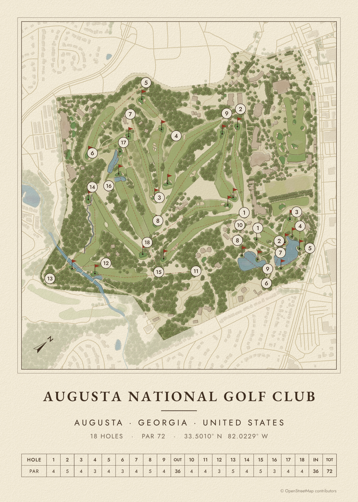
Gift ideas by occasion




Every example is made with the Posterage generators. Change anything, then download it as a 300 DPI JPEG.