Torrey Pines golf course map the South Course above the Pacific
This poster draws the South Course at Torrey Pines from OpenStreetMap: fairways along the cliffs, the canyons, bunkers and greens, with each hole numbered and lined from tee to green. It suits anyone who has played it on a trip to San Diego or watched a U.S. Open there.
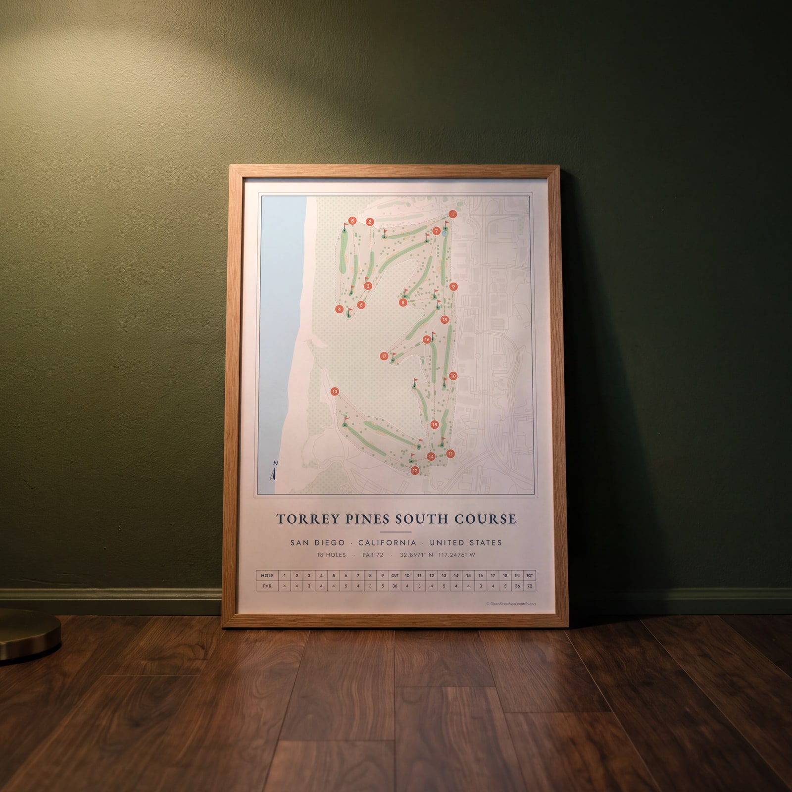
On the wall
A few of them framed at home. Open any one to make it yours.
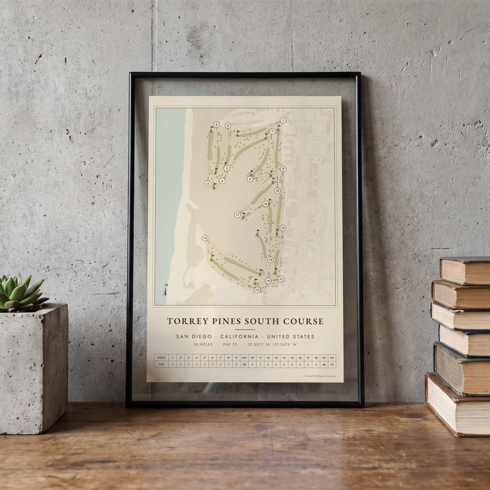 Torrey Pines as a vintage yardage bookEdit this →
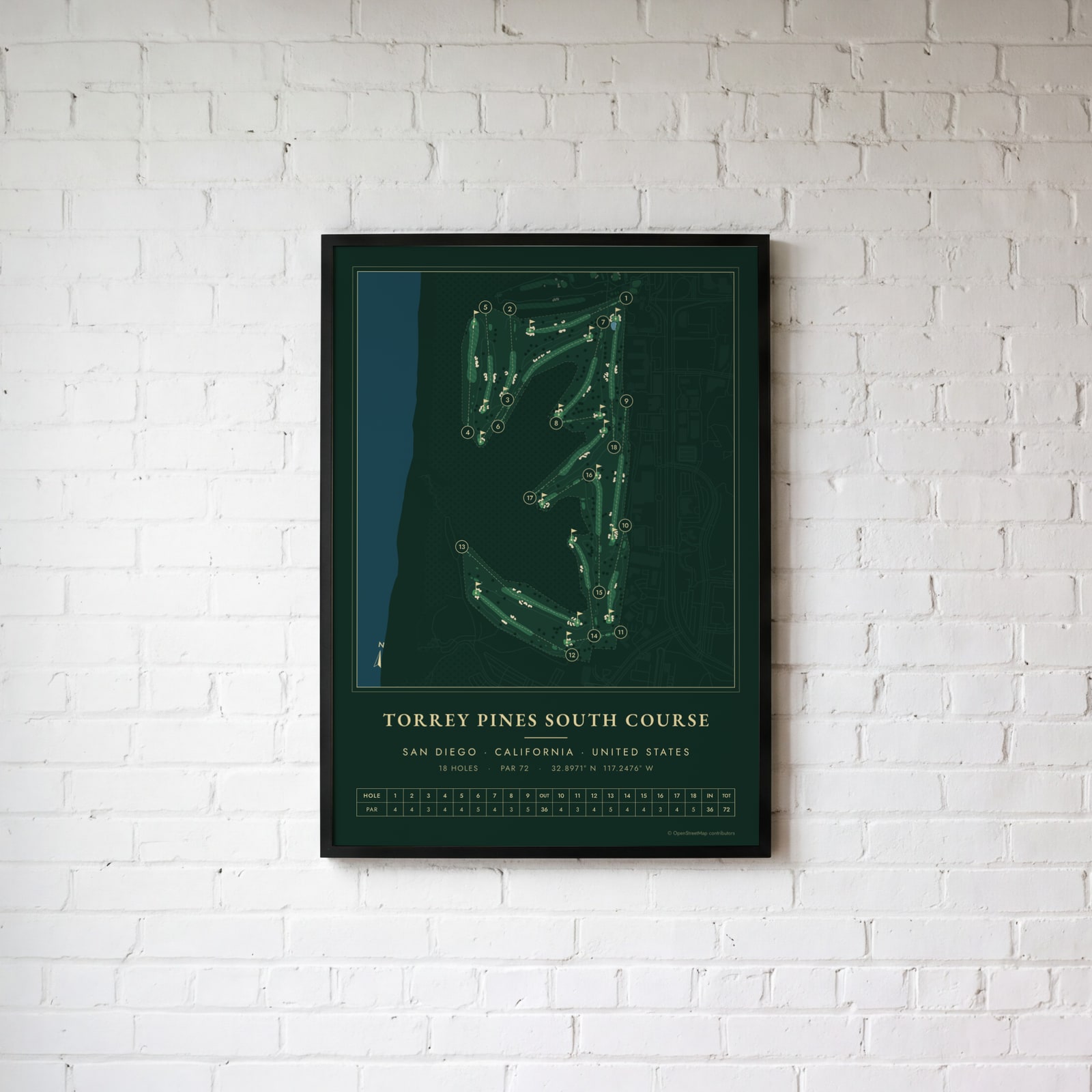 Torrey Pines in evergreen night colorsEdit this →
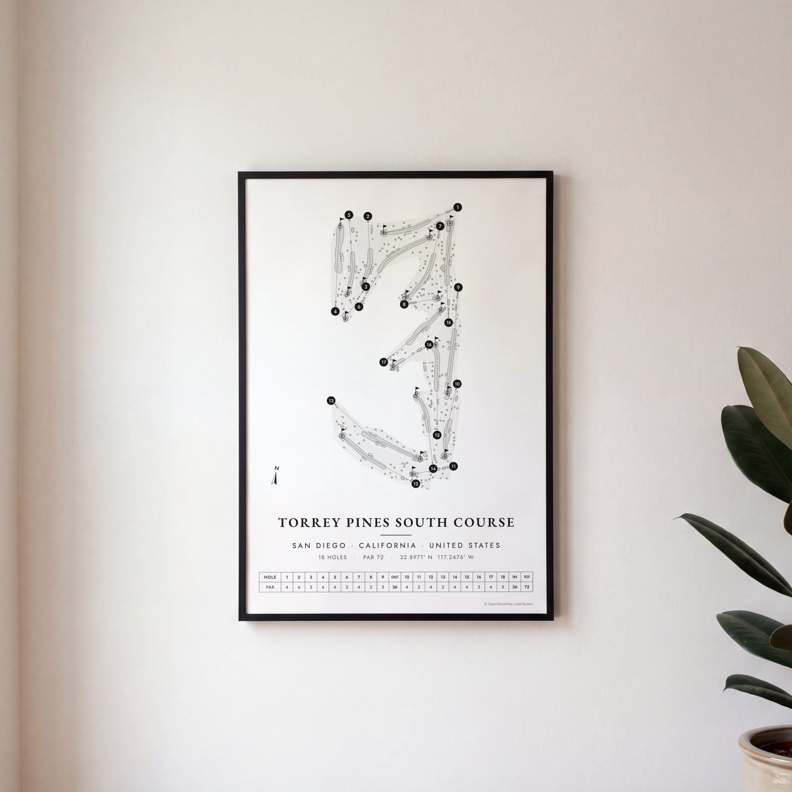 Torrey Pines in links ink, course onlyEdit this →
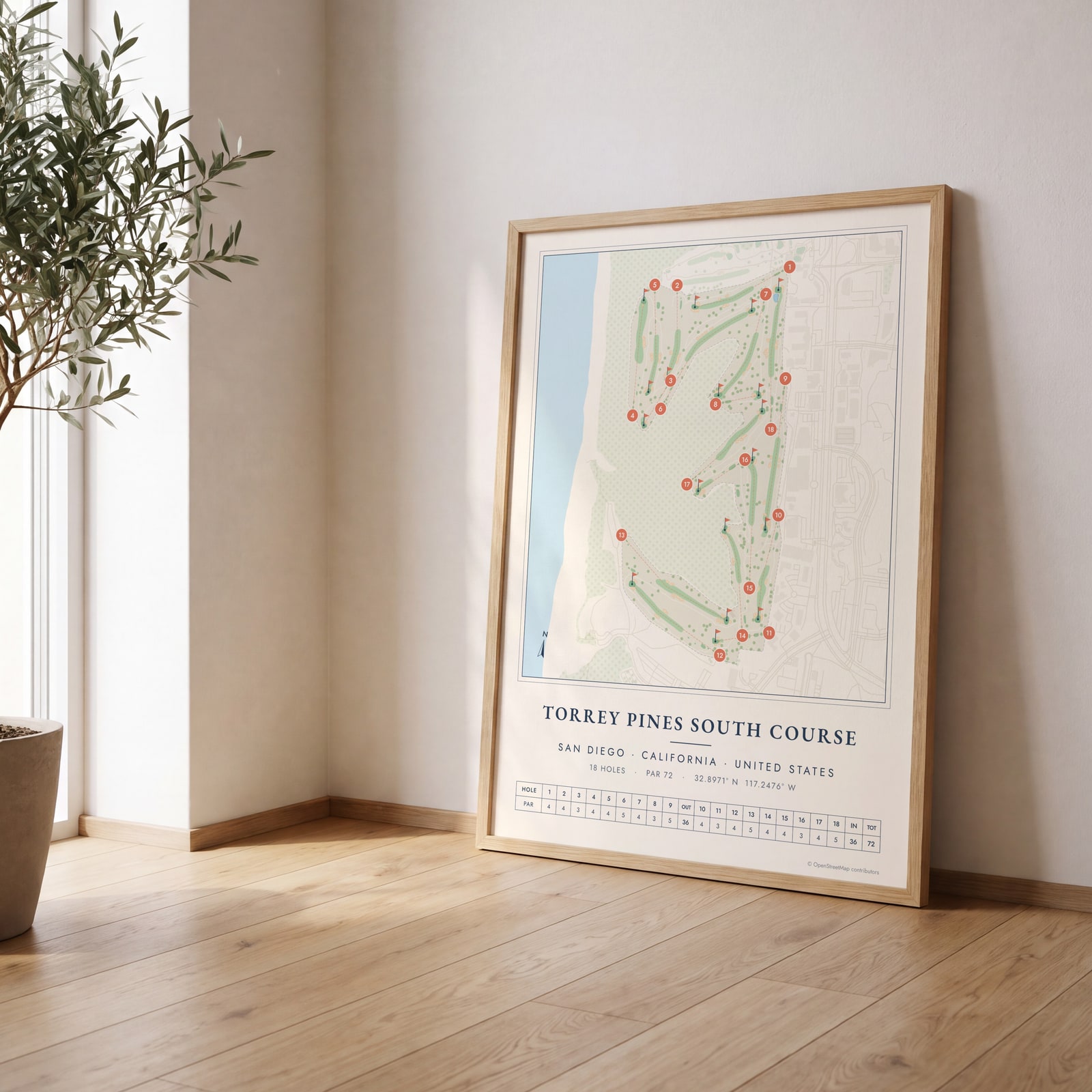 Torrey Pines course map poster, every hole numberedEdit this →
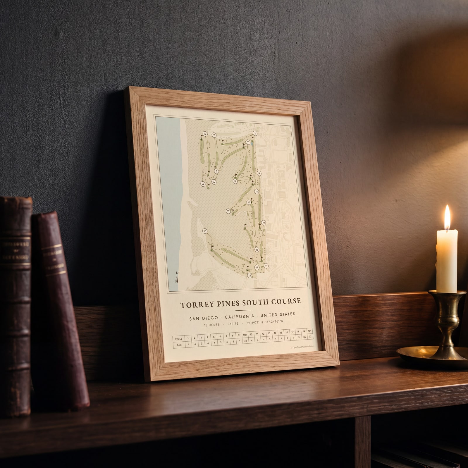 Torrey Pines as a vintage yardage bookEdit this →
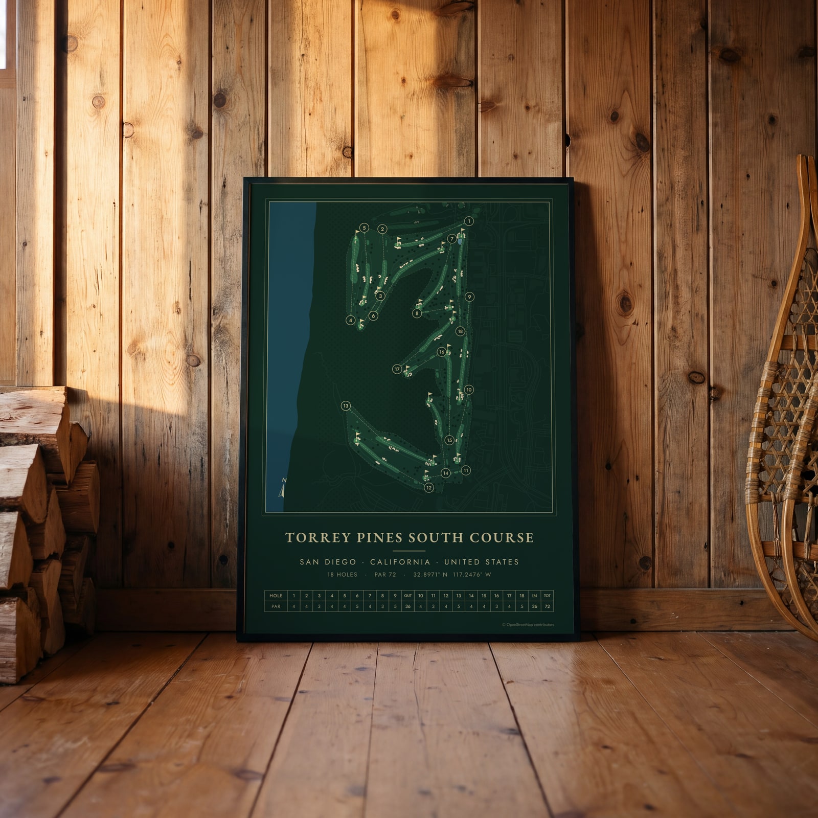 Torrey Pines in evergreen night colorsEdit this →
Examples
Open any of them to change the words, the place, the date and the style, then download the print file.
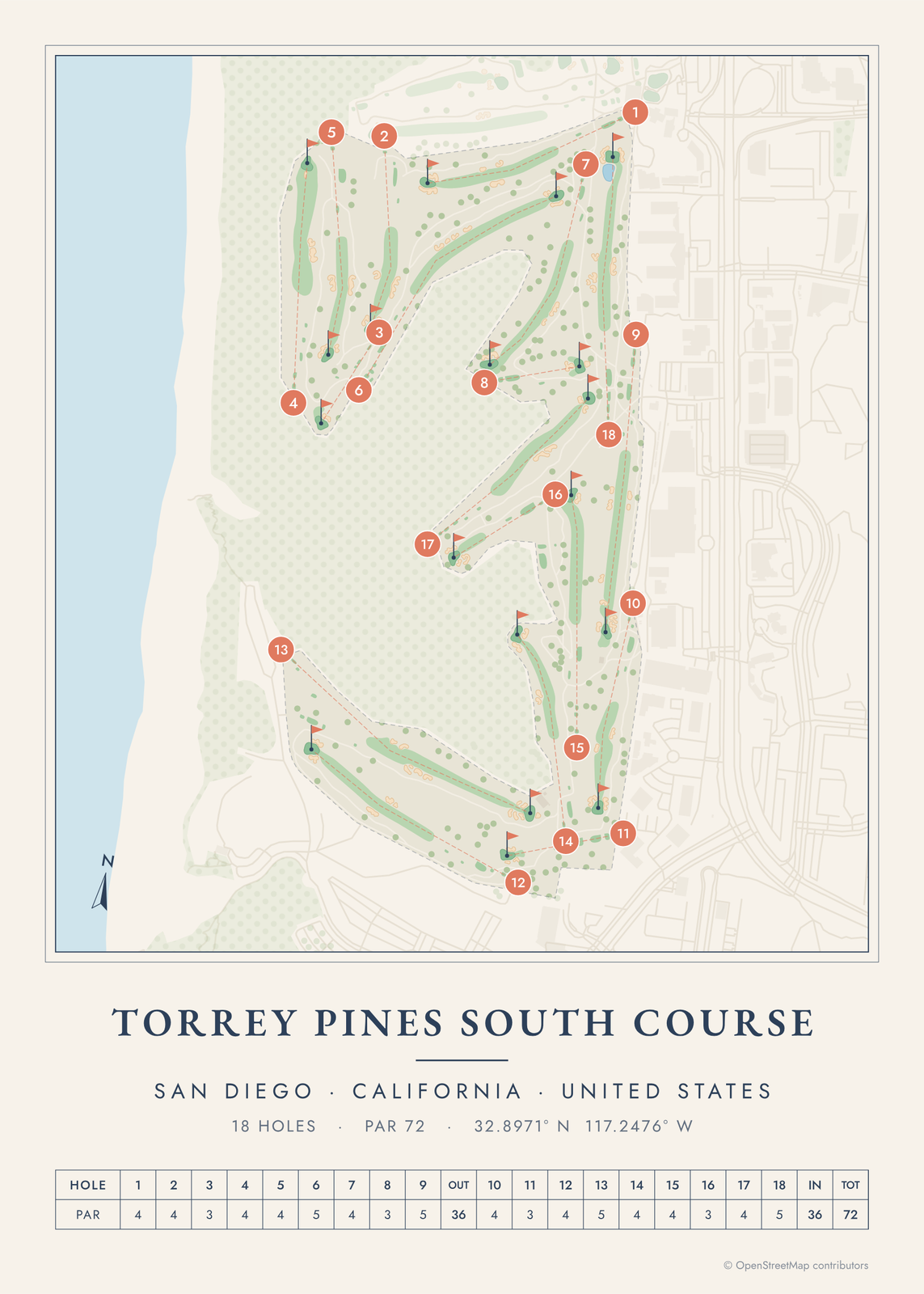 Torrey Pines course map poster, every hole numberedEdit this →More golf course prints →
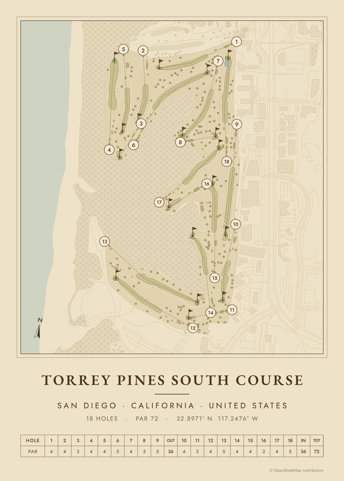 Torrey Pines as a vintage yardage bookEdit this →More golf course prints →
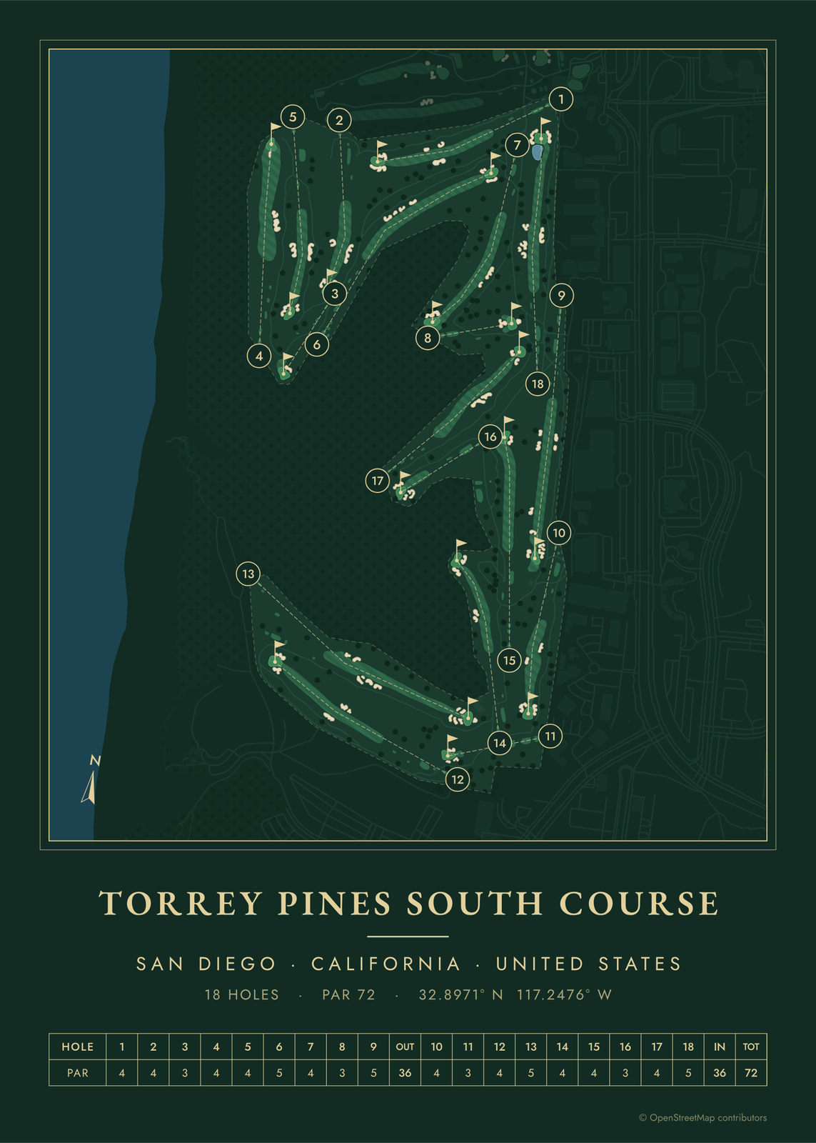 Torrey Pines in evergreen night colorsEdit this →More golf course prints →
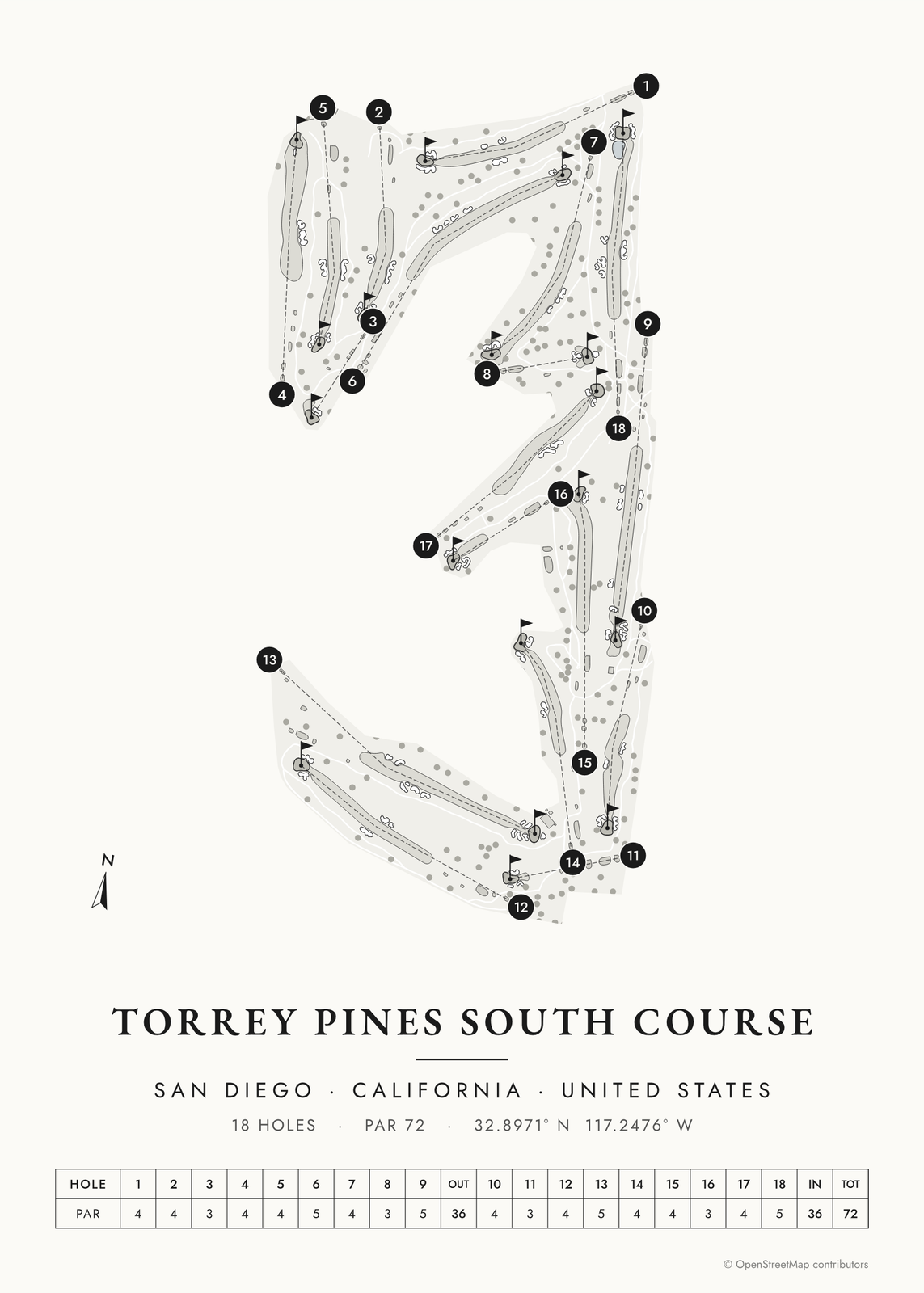 Torrey Pines in links ink, course onlyEdit this →More golf course prints →
About the course
Torrey Pines has two 18-hole courses, the South and the North, on the bluffs above the Pacific in La Jolla, San Diego. Both opened in 1957 to designs by William F. Bell. Rees Jones rebuilt the South Course in 2001 to get it ready for a U.S. Open.
The South Course hosted the U.S. Open in 2008 and 2021. Torrey Pines has also been a PGA Tour stop every winter since the late 1960s, with the field playing both courses.
Holes to know
- 3 (par 3): plays downhill from a high tee toward the ocean, with a gorge left of and behind the green.
- 4 (par 4): runs along the cliff edge, with the Pacific down the left.
- 13 (par 5): from the back tees, the drive has to carry a canyon to reach the fairway.
- 14 (par 4): bunkers down the right and a canyon waiting on the left.
- 18 (par 5): a pond guards the front left of the green. Tiger Woods holed a birdie putt here to force a playoff at the 2008 U.S. Open.
How to make your Torrey Pines poster
- Open the Torrey Pines map; the course is already picked.
- Choose colors: clubhouse greens, seaside, links ink, heritage watercolor, a vintage yardage book, evergreen night or blueprint.
- Keep the scorecard row and the hole numbers, or show the course alone; turn it to fit the sheet or put north up.
- Change the title and the line under it (a date, a round, a score), pick a size and download the print file.
Questions
Can the public play Torrey Pines?
Yes. The City of San Diego owns both courses and runs them as public courses, with lower rates for San Diego residents.
Which course at Torrey Pines hosts the U.S. Open?
The South Course. It hosted in 2008, when Tiger Woods beat Rocco Mediate in a playoff, and in 2021, when Jon Rahm won. This poster shows the South Course.
Is Torrey Pines by the ocean?
Yes. Both courses sit on bluffs high above the Pacific, and on the South Course the 3rd and 4th holes play right along the edge. The poster shows the coastline next to the holes.
Where does the course map come from?
From OpenStreetMap, where volunteers trace fairways, greens, bunkers, water and trees from aerial imagery. It's a map of the course as it's mapped there, not the club's official yardage book, and its credit line prints small in the corner.
What sizes can I print?
US Letter, 8 × 10, 11 × 14, 12 × 16 and 12 × 18 in, A4 and A3, free. You download a 300 DPI JPEG drawn at the size you pick, for any print shop. Larger prints, up to 24 × 36 in, are coming soon.
Is this an official course map?
No. Posterage isn't affiliated with the course, its club or any tournament played there. The poster is drawn from open map data.
Related
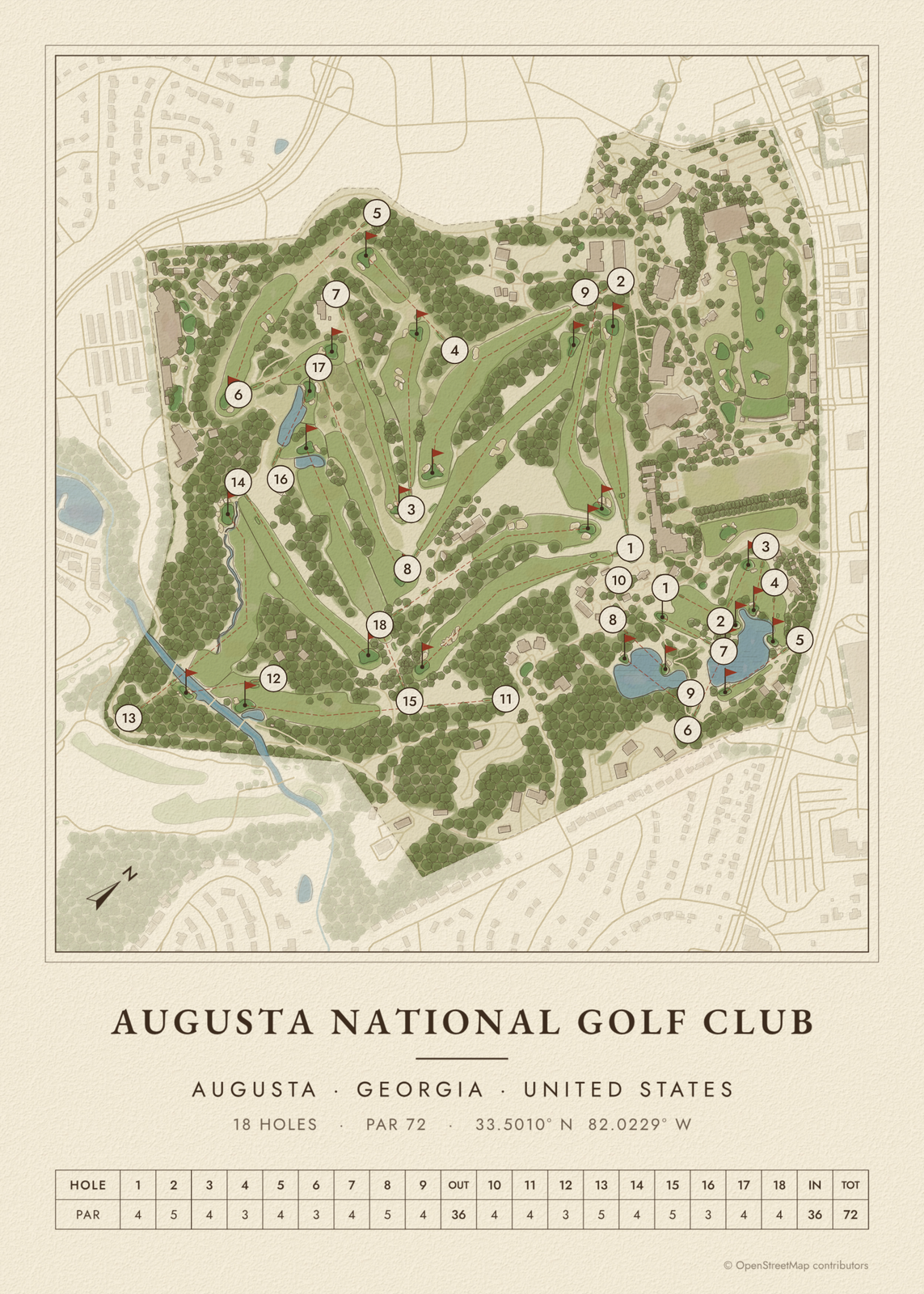
Gift ideas by occasion




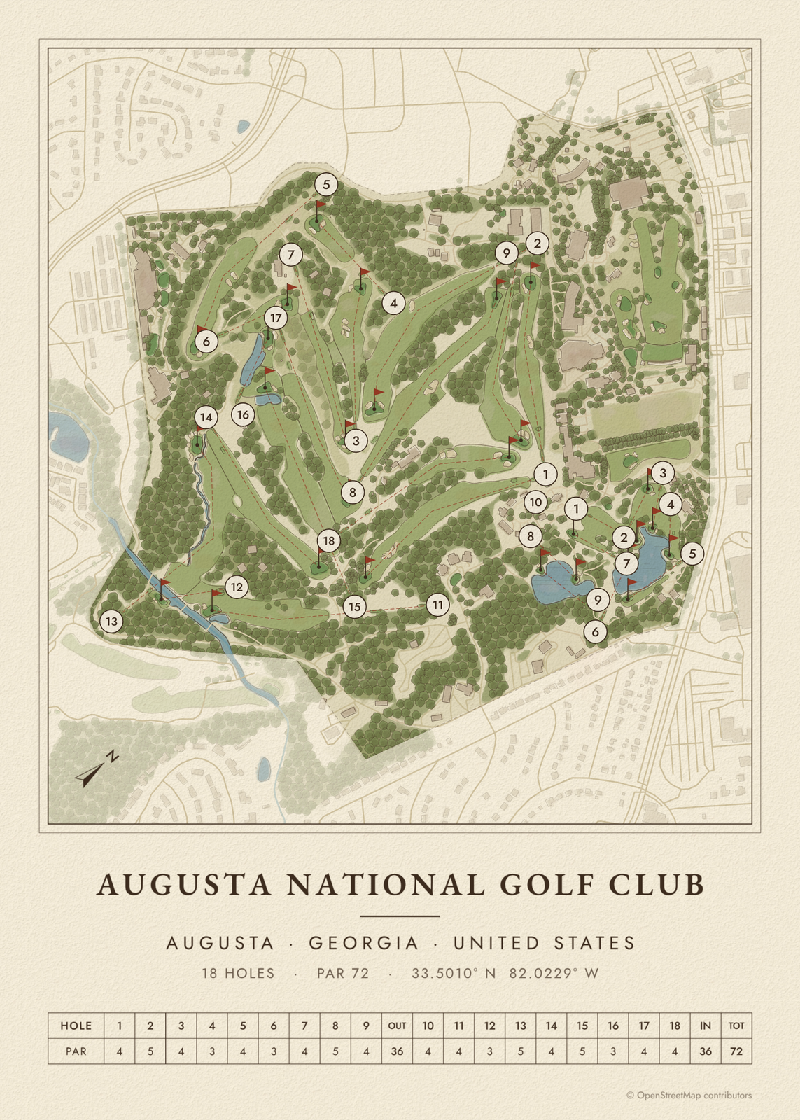
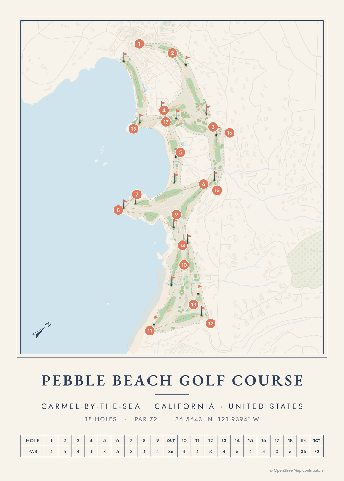
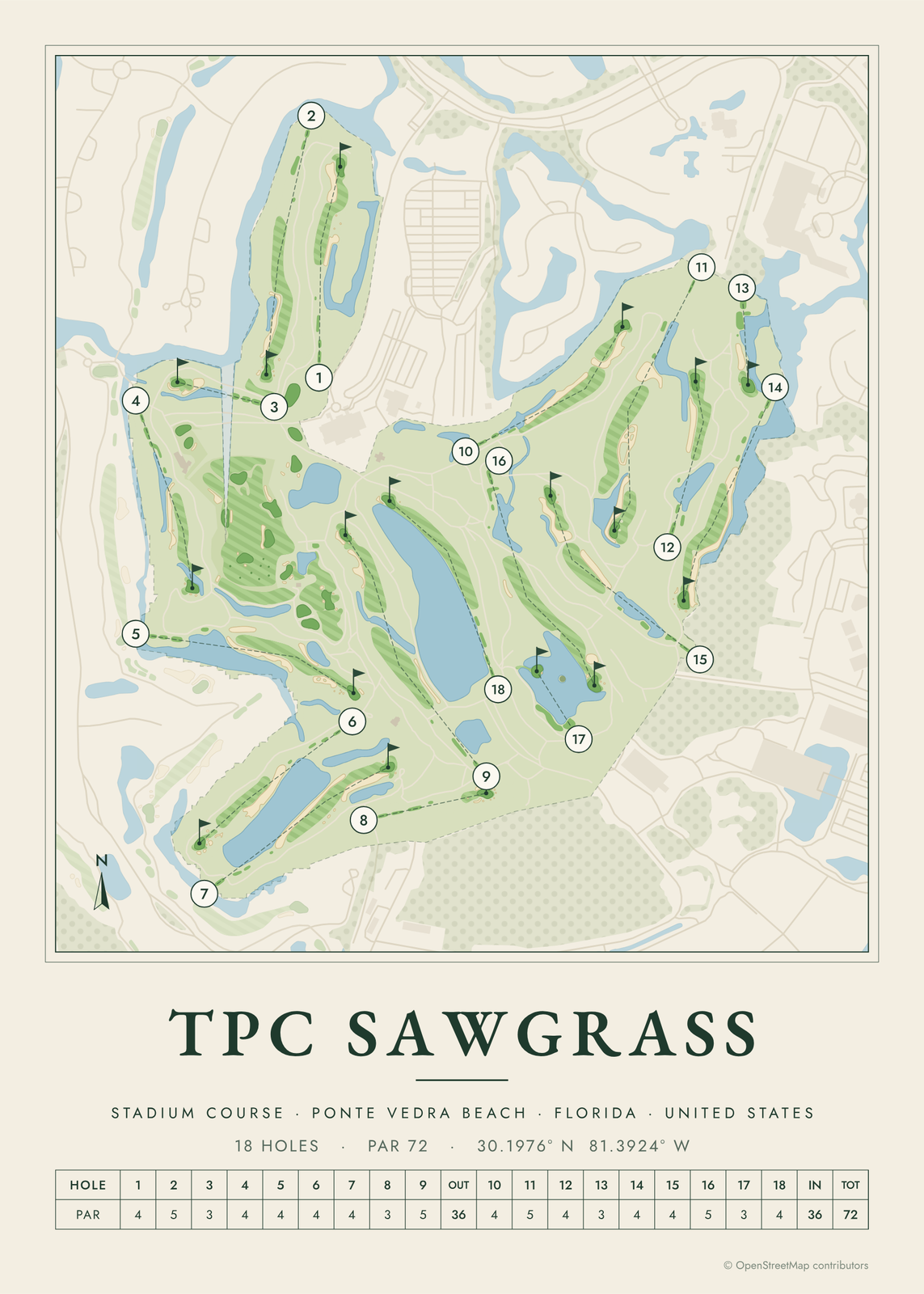
Every example is made with the Posterage generators. Change anything, then download it as a 300 DPI JPEG.