Road map art every road of a city, in a single color
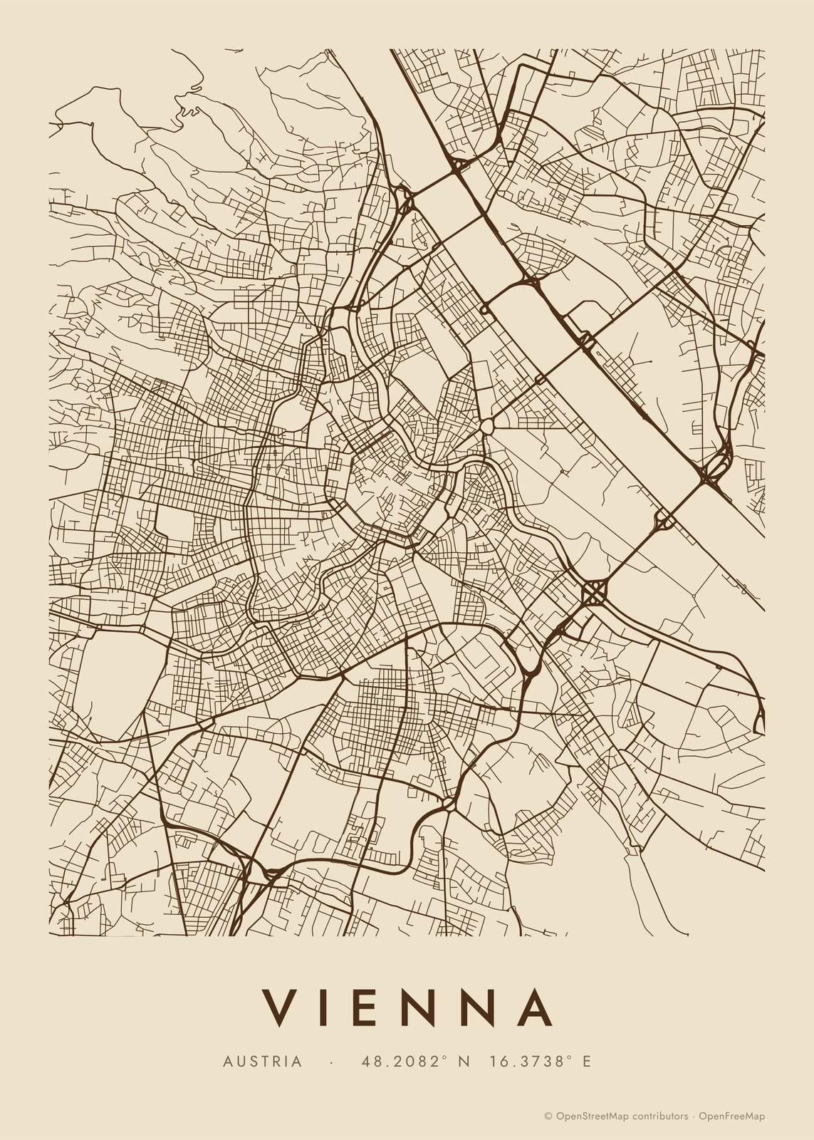
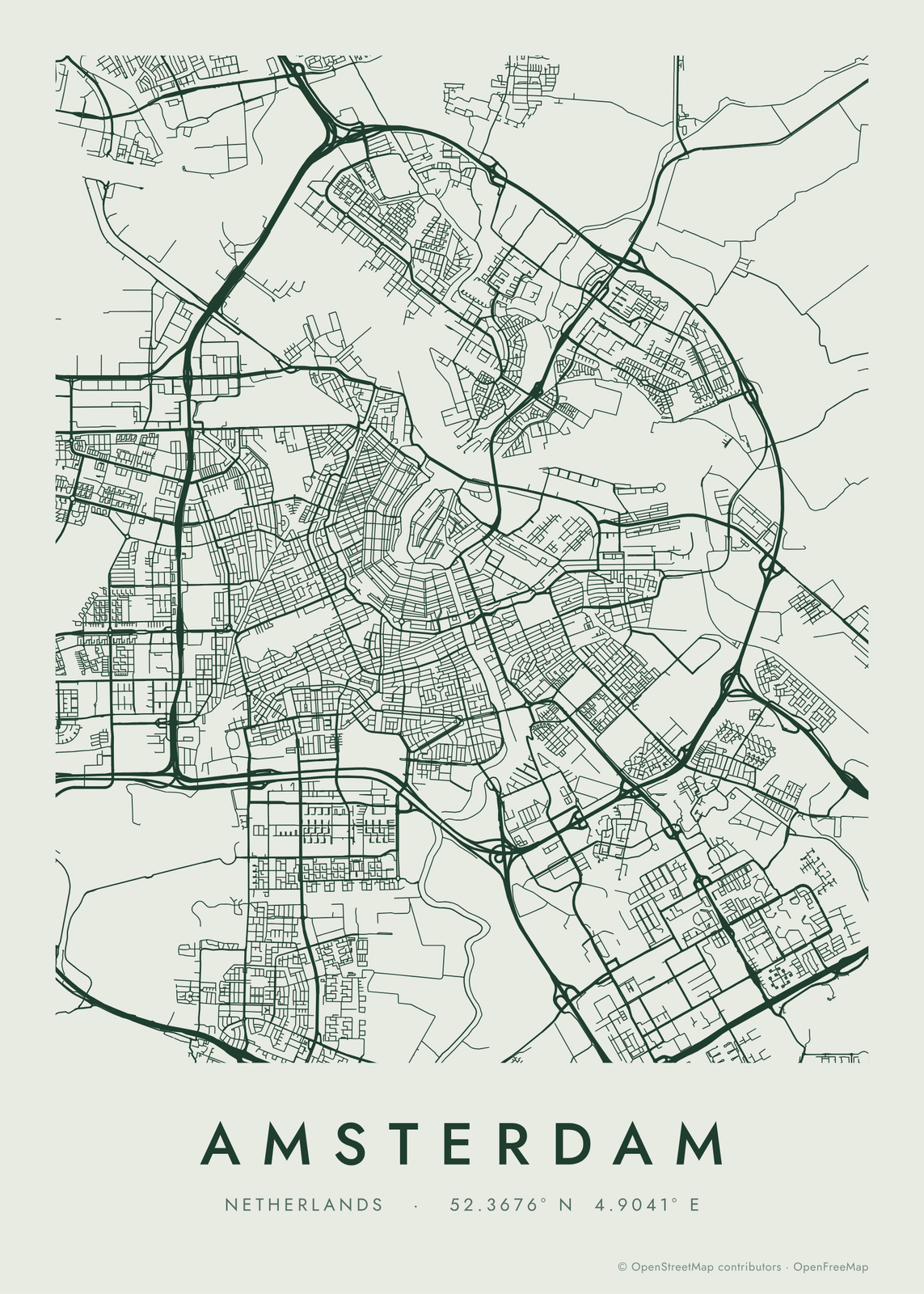
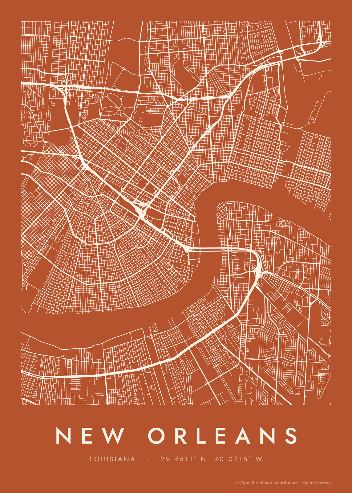
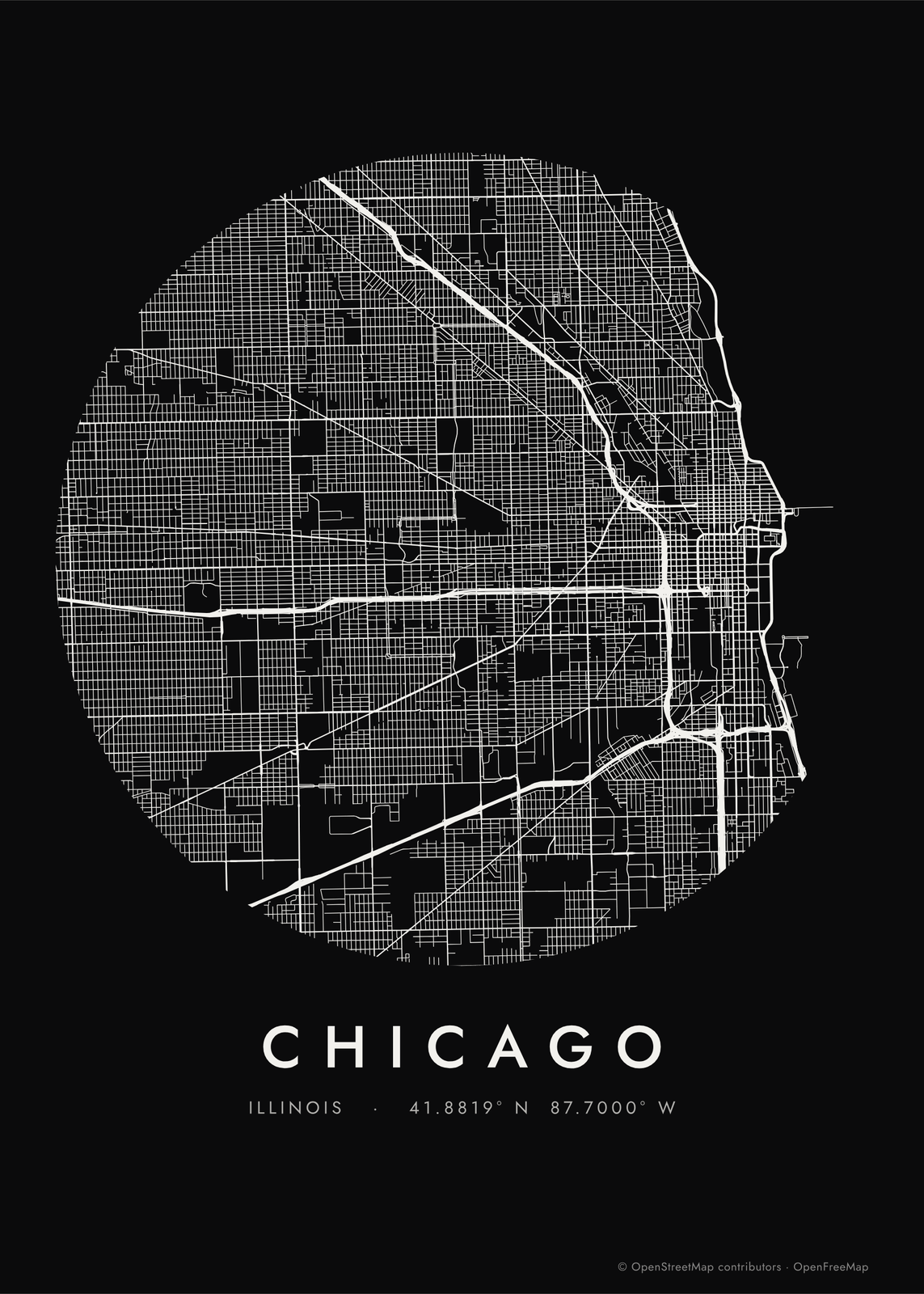
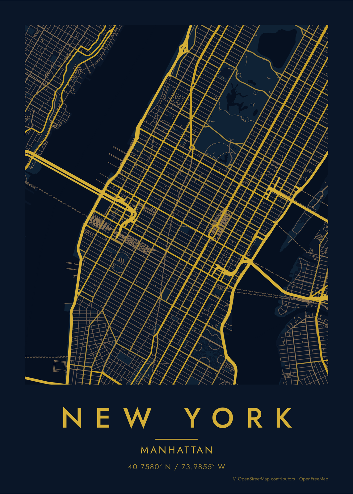
Pick a city and every road in it is drawn in one color, from the ring roads to the smallest lanes, with nothing else on the sheet. Up close it reads as a street map; from across the room the shape of the city shows like a fingerprint. Choose the colors and the shape, add a title, and print it.
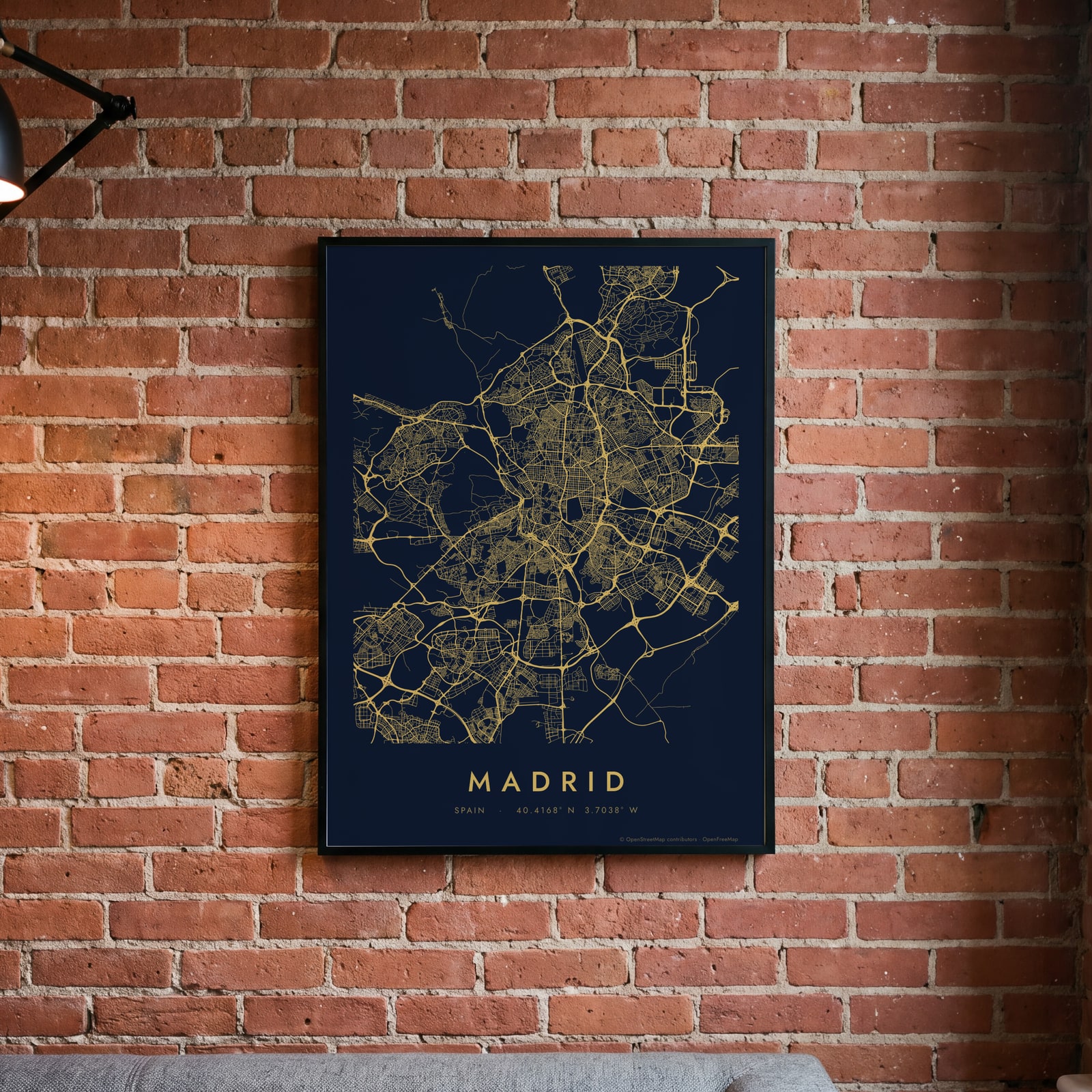
On the wall
A few of them framed at home. Open any one to make it yours.
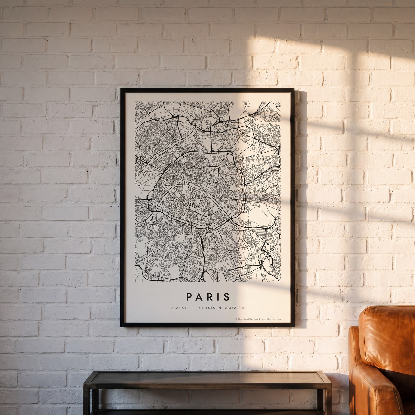
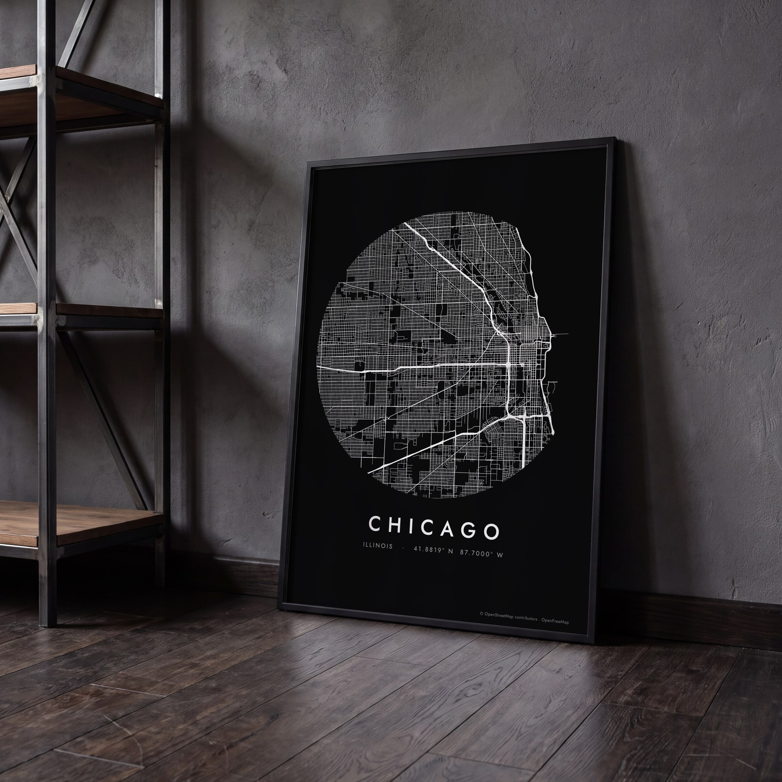
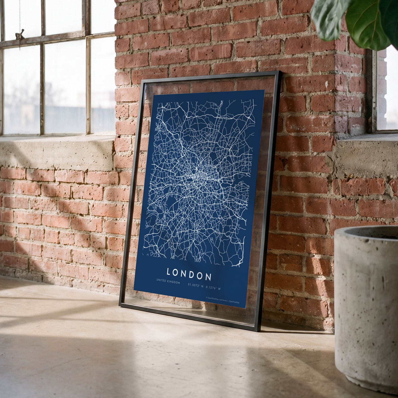
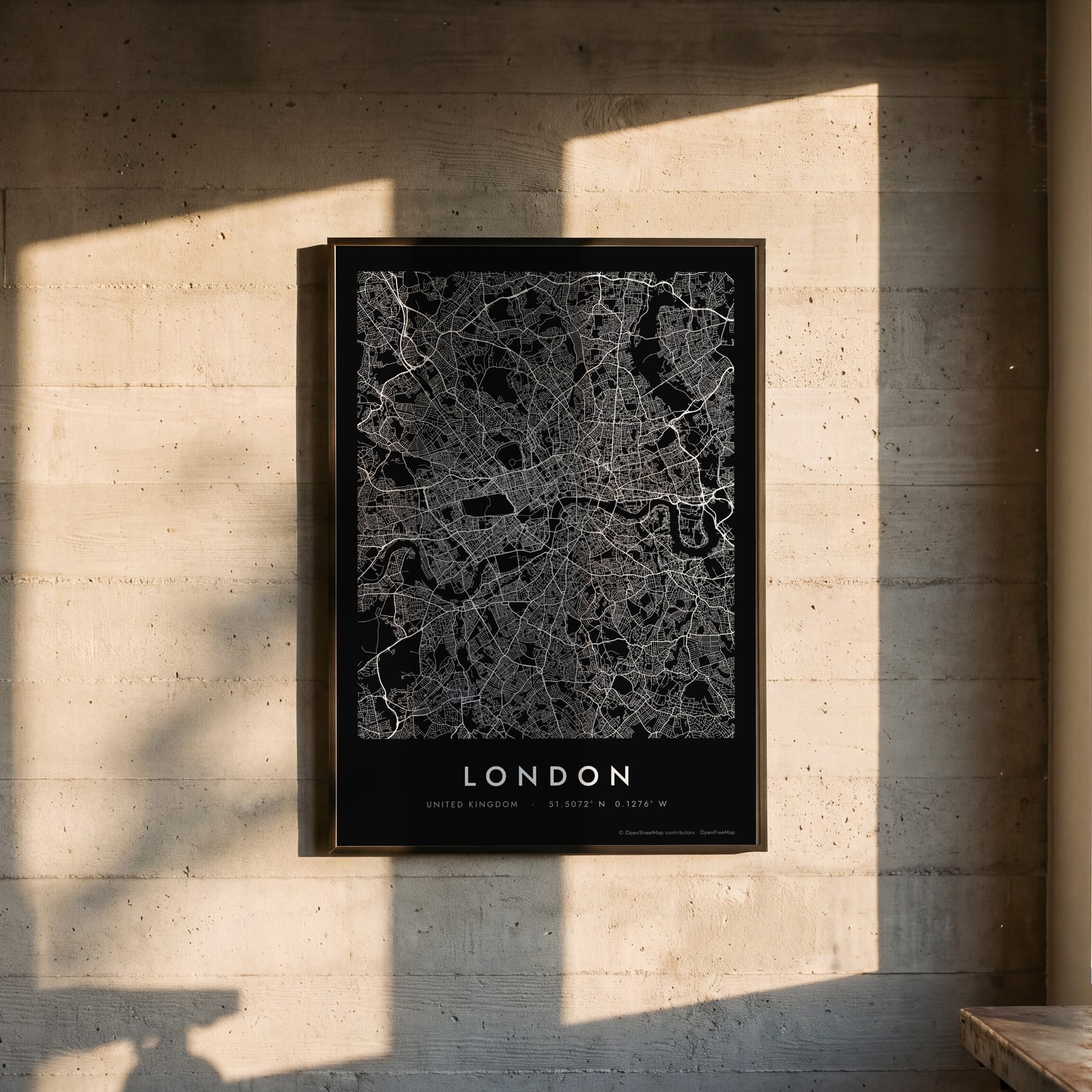
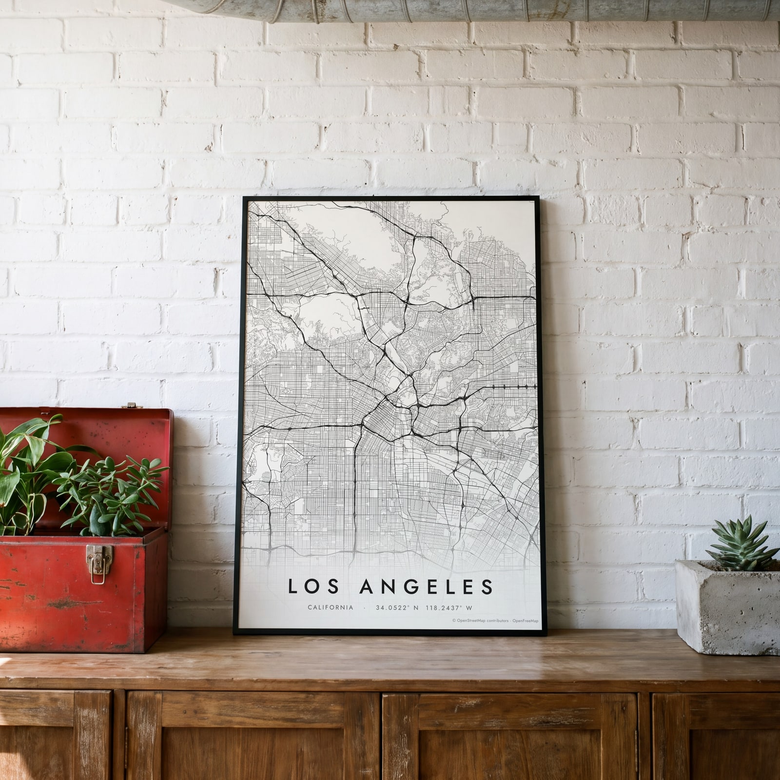
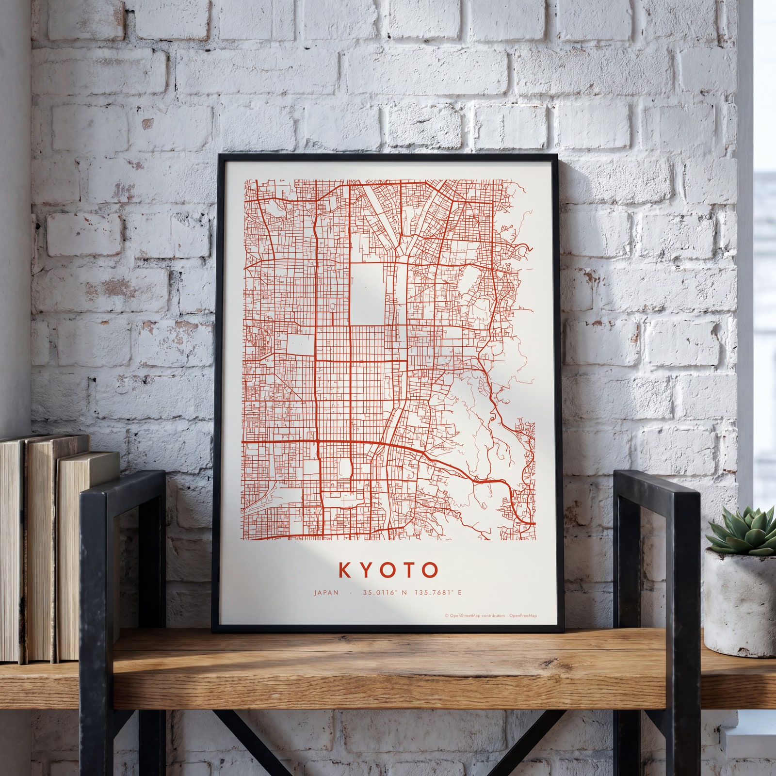
Examples
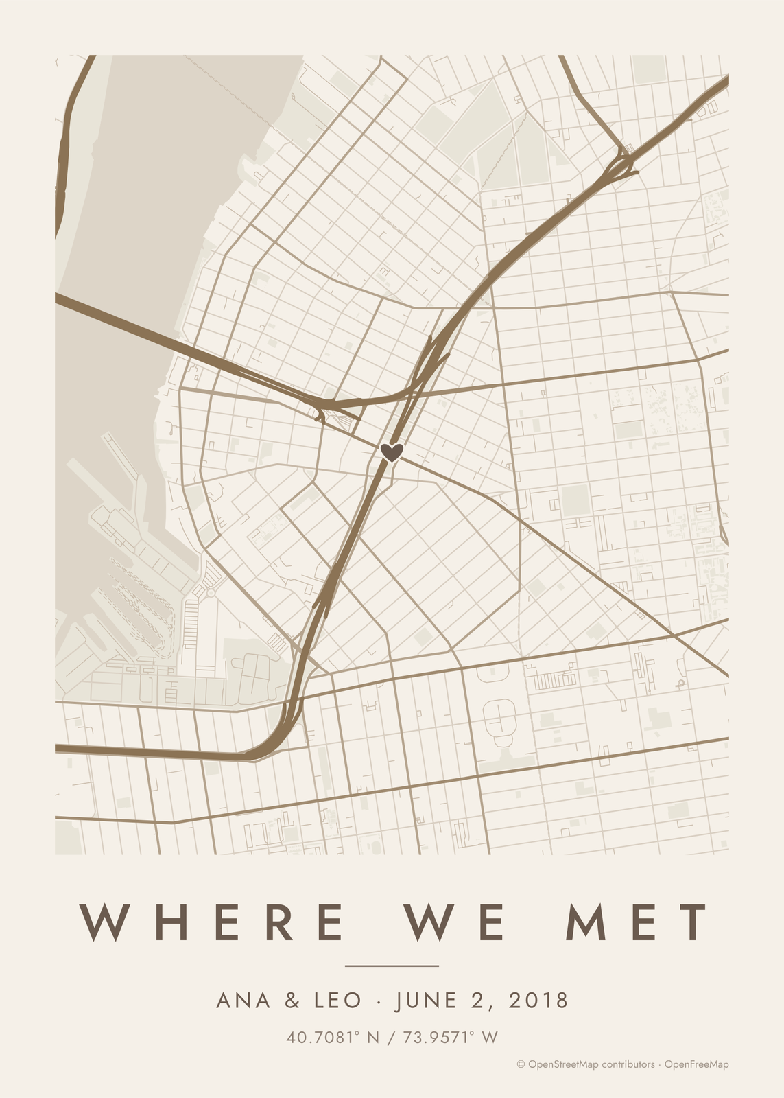
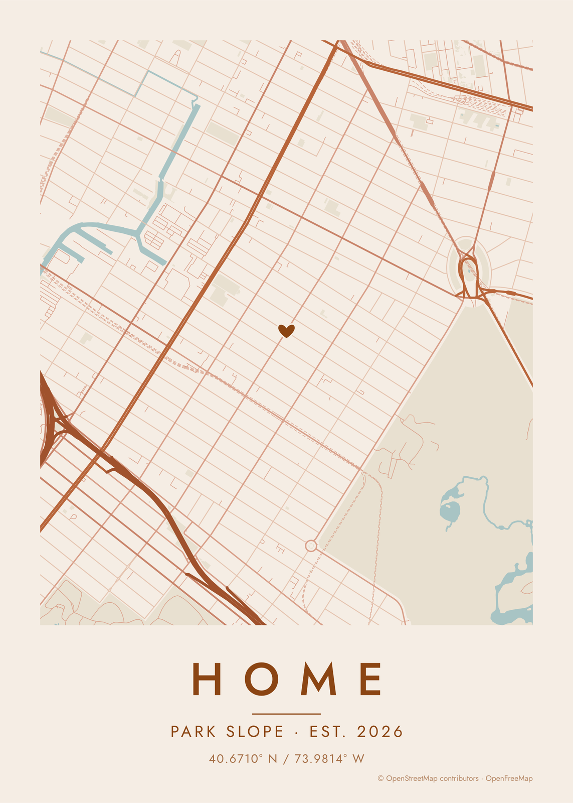
Open any of them to change the words, the place, the date and the style, then download the print file.
Colors
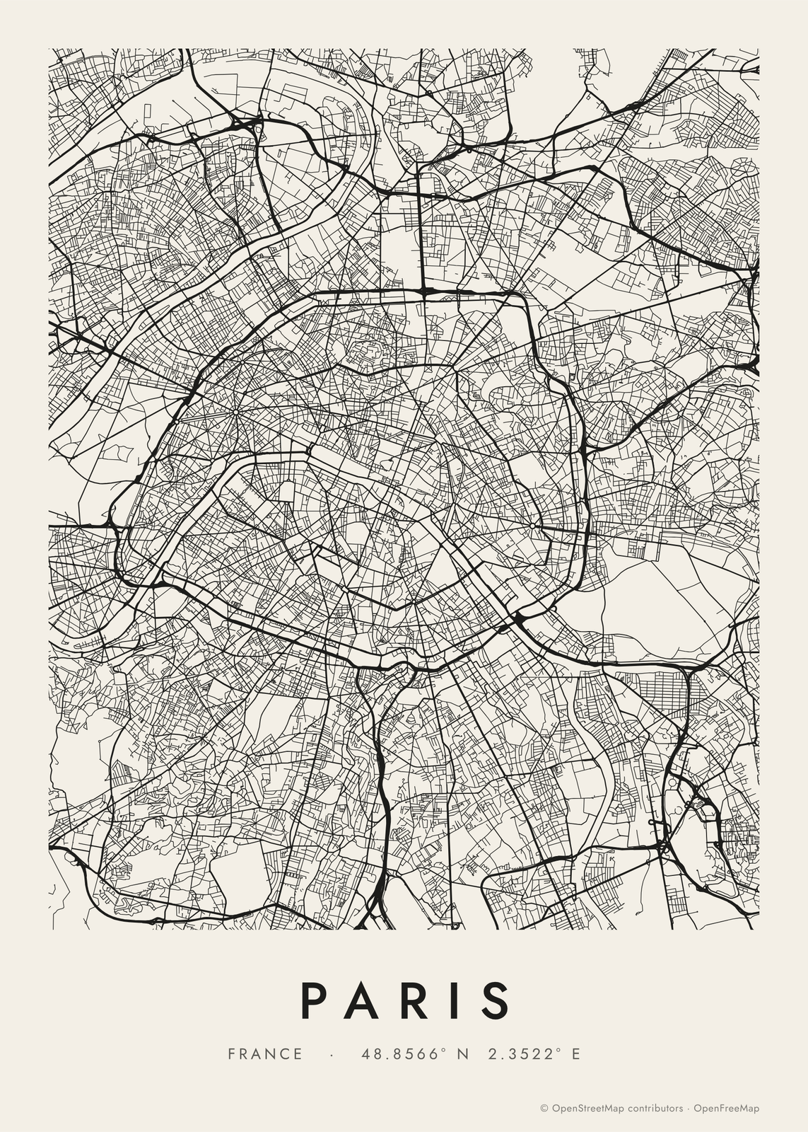
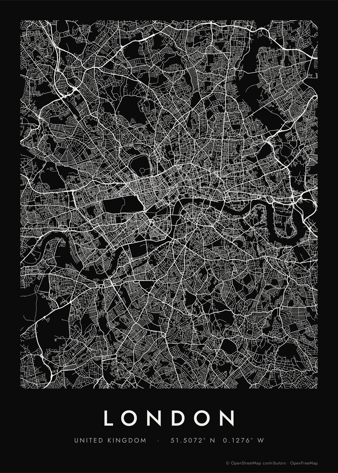
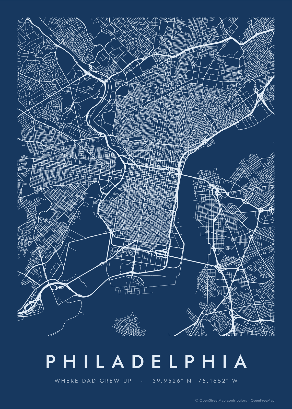
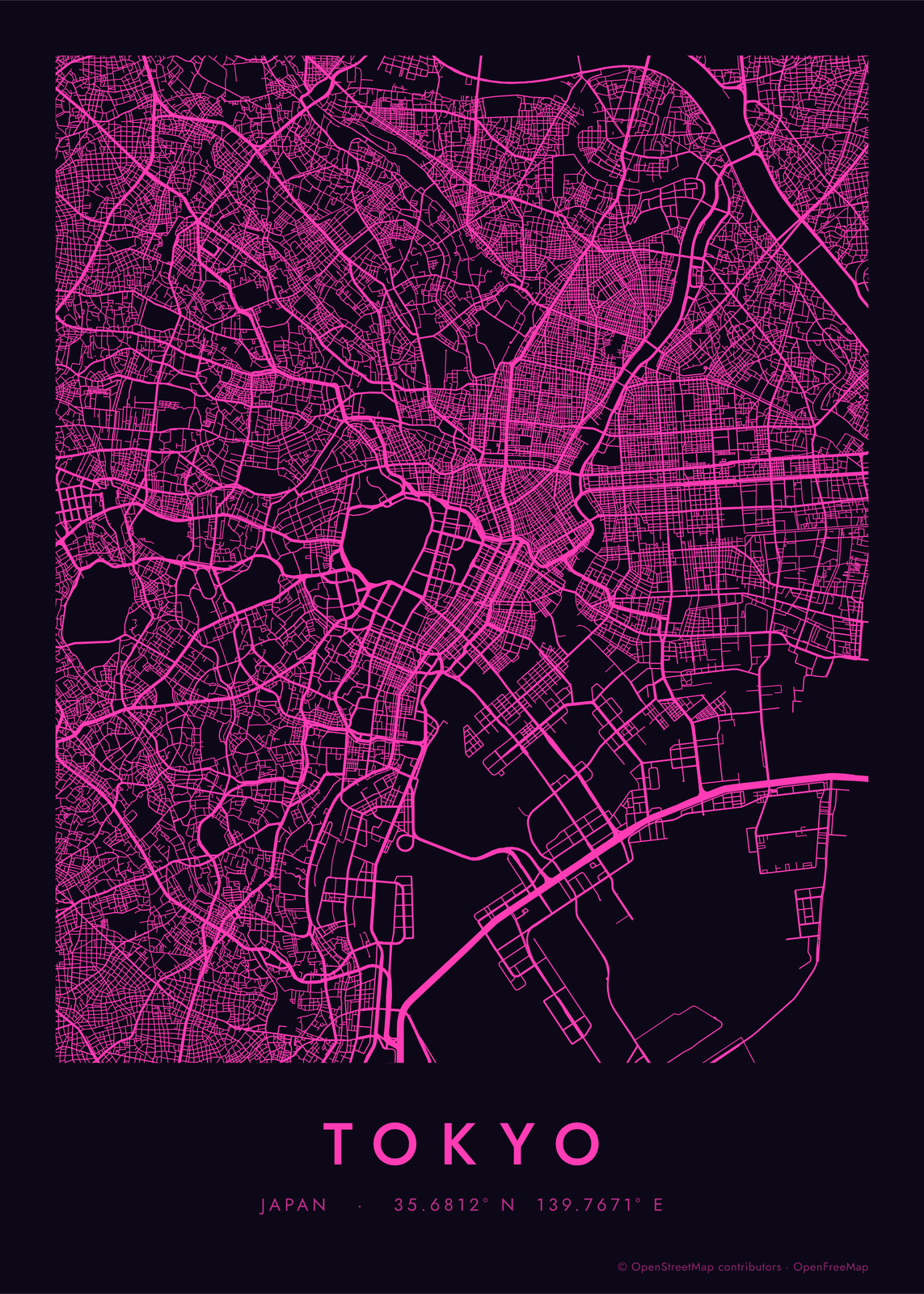
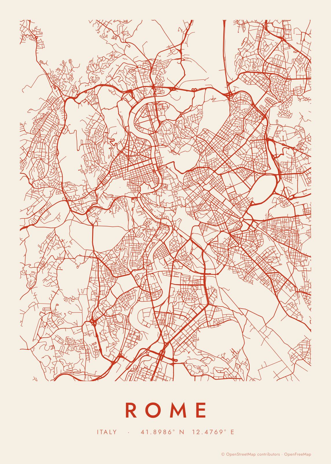
Shapes
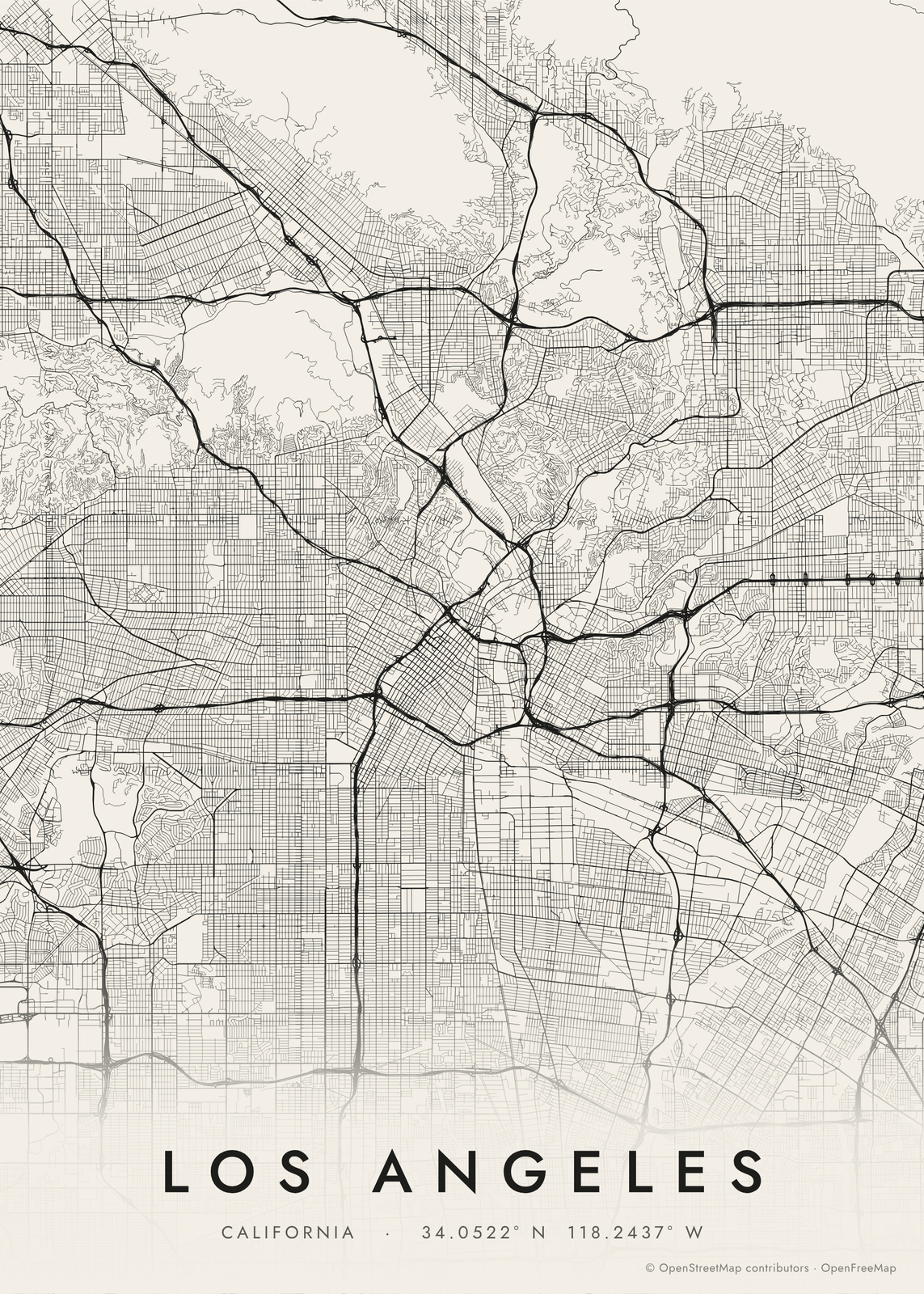
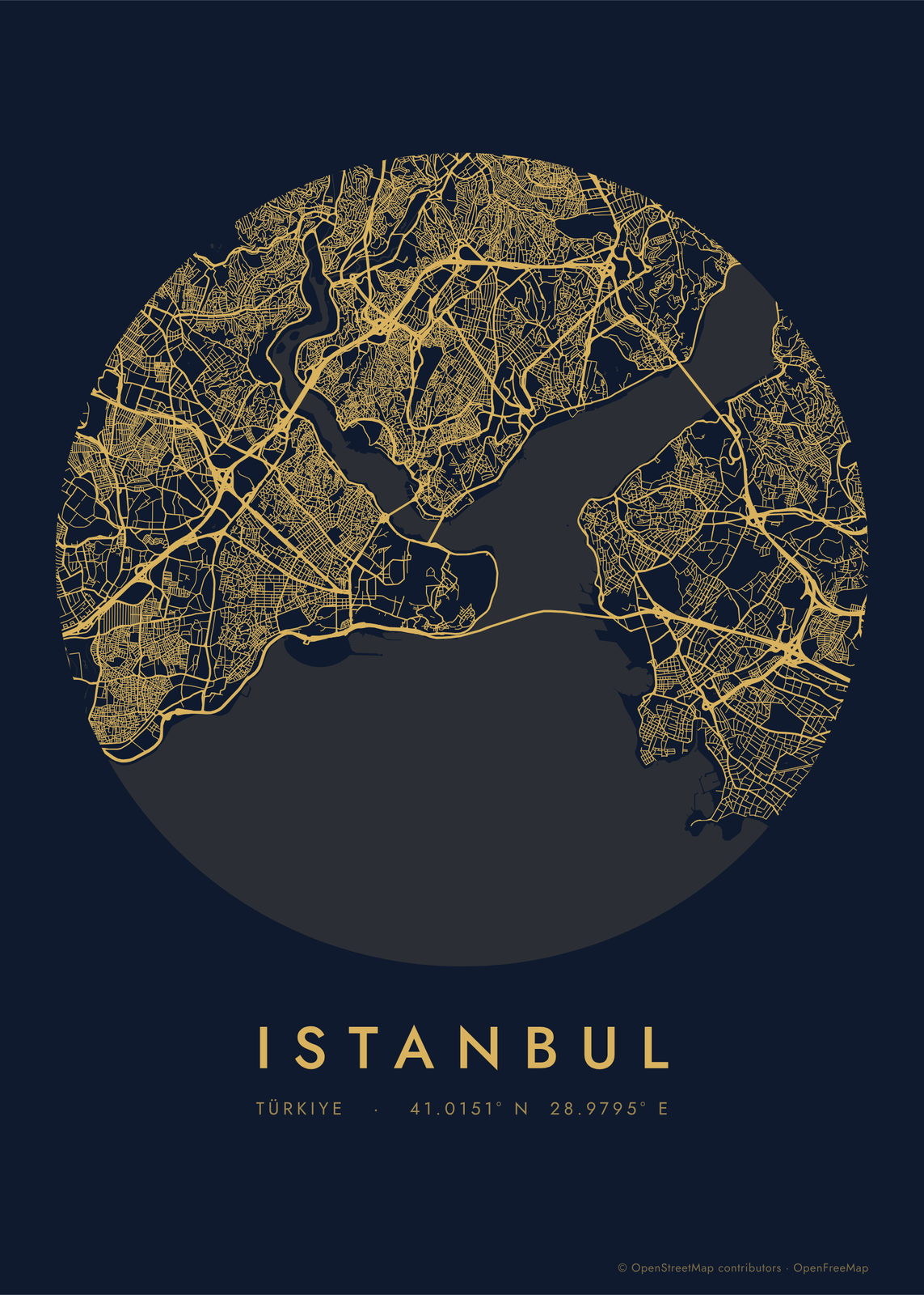
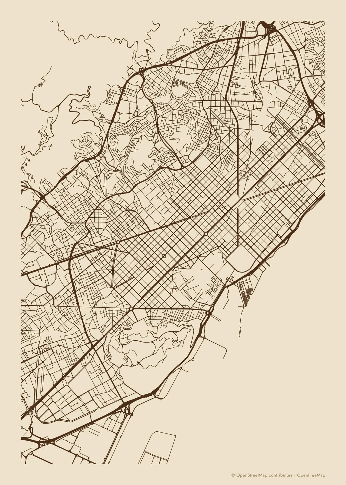
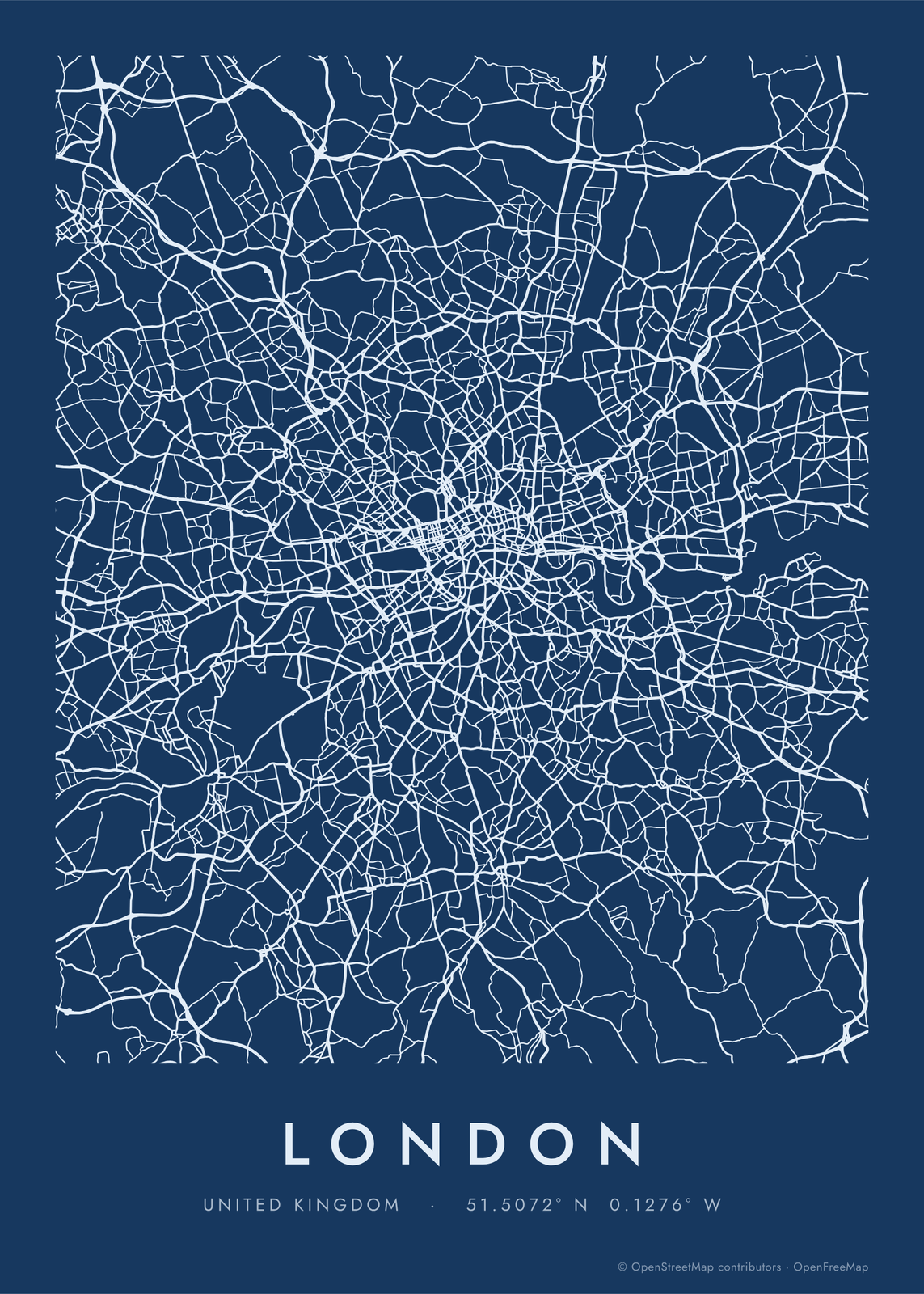
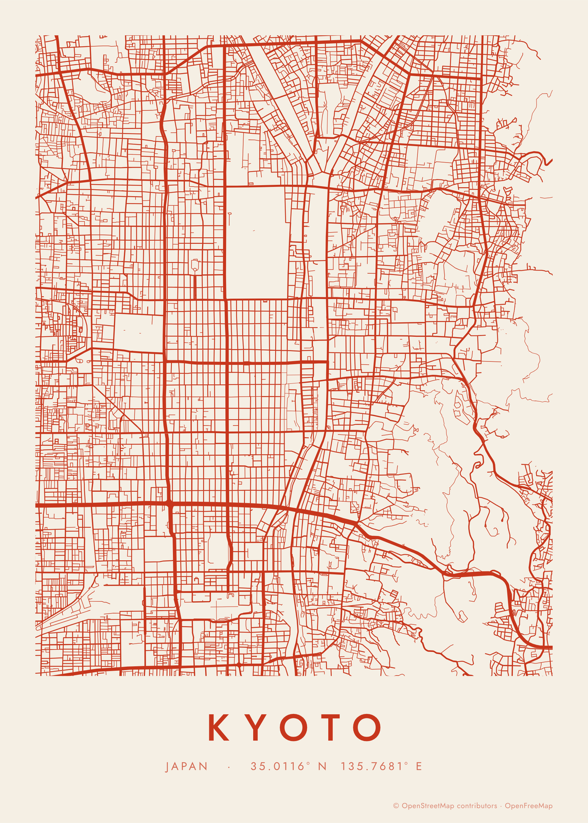
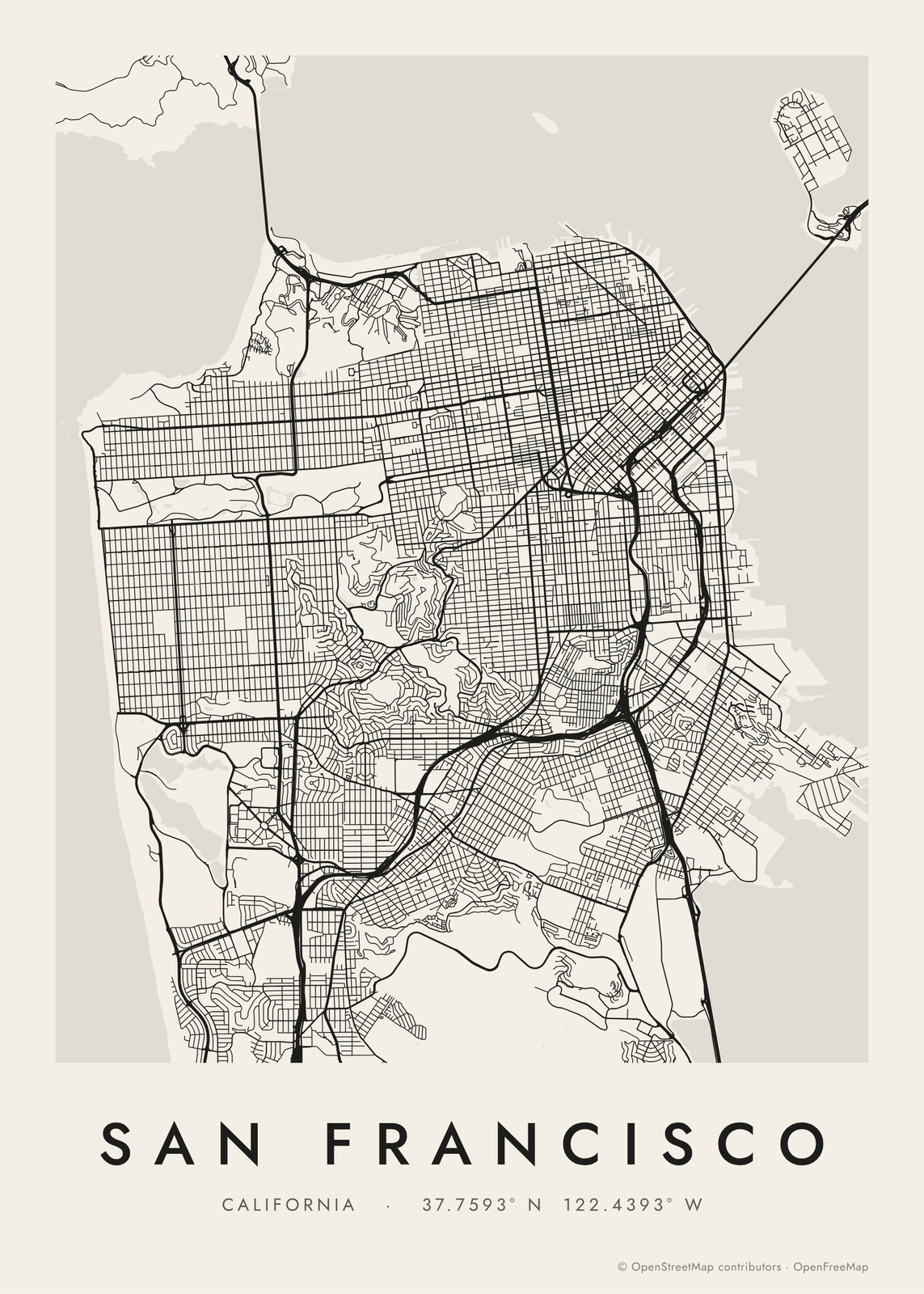
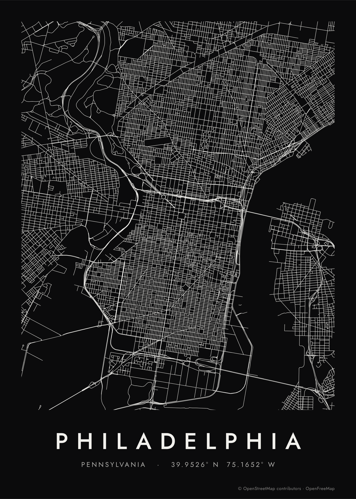
Road map art or a city map?
A custom city map draws a neighborhood or a city center with its streets, water, parks and buildings. Road map art pulls back to the whole city, up to 30 miles across, and keeps only the roads, so the pattern of the place becomes the picture: the boulevards of Paris, the grid of Philadelphia, the canal rings of Amsterdam.
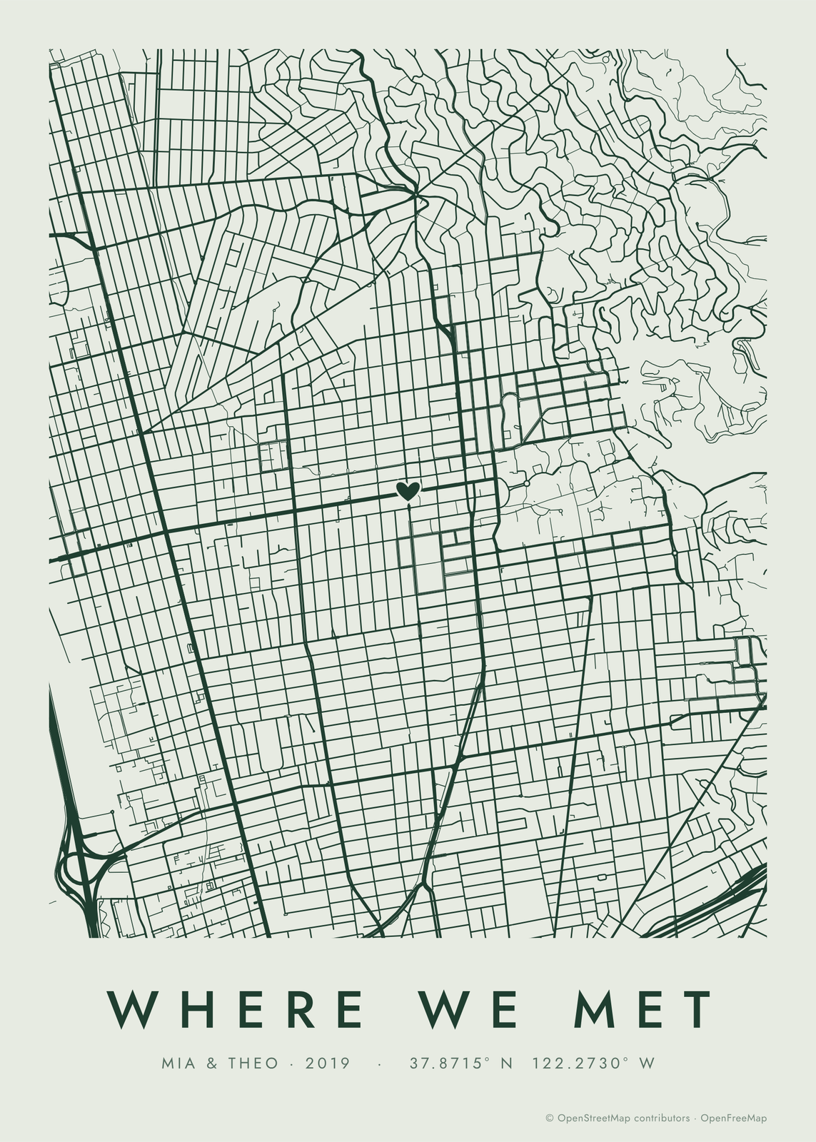
Water can come back as a faint tint, and a heart, a pin or a dot can mark one spot, so it still works as a personal map.
How to make a road map poster
- Search for the city, or a street in it, and drag the map to frame it.
- Set the area shown: 6 to 15 miles across takes in most cities, 3 or less a single district.
- Pick the roads: main roads only, every street, or everything down to footpaths and service roads.
- Choose the colors (ink on paper, white on black, blueprint, gold on navy, neon or your own two) and the shape: a framed sheet, a circle or edge to edge.
- Add a title and a line under it, or turn the title off, then download the print file.
Ideas for road map art
The city you grew up in, the one you live in now, the one you moved away from. A road map of the town where you met, with a heart on the spot. A row of matching prints of every city a family has lived in, at the same scale and in the same colors.
Questions
How big an area can it show?
From about 1 to 30 miles across. Bigger areas draw the main roads and streets; the Everything setting adds footpaths and service roads on smaller maps, where they stay readable.
Can I pick my own colors?
Yes. Choose one of eight color sets, or Custom to set the ink and the paper yourself, such as white roads on terracotta.
Where do the roads come from?
From OpenStreetMap, the open map built by volunteers, so any city or town in the world works. Its credit line is printed small on every poster.
What sizes can I print?
US Letter, 8 × 10, 11 × 14, 12 × 16 and 12 × 18 in, A4 and A3, free. You download a 300 DPI JPEG drawn at the size you pick. Larger prints, up to 24 × 36 in, are coming soon.
Related

Gift ideas by occasion




Every example is made with the Posterage generators. Change anything, then download it as a 300 DPI JPEG.