Copenhagen neighborhood map all 67 kvarterer, named
This poster maps Copenhagen split into 67 kvarterer, the small quarters the city uses in its data, from Nyhavn and Christianshavn to Nordhavn and Ørestad. District names like Nørrebro and Østerbro, and smaller places like Islands Brygge and Kødbyen, print as labels. Highlight yours and print it.
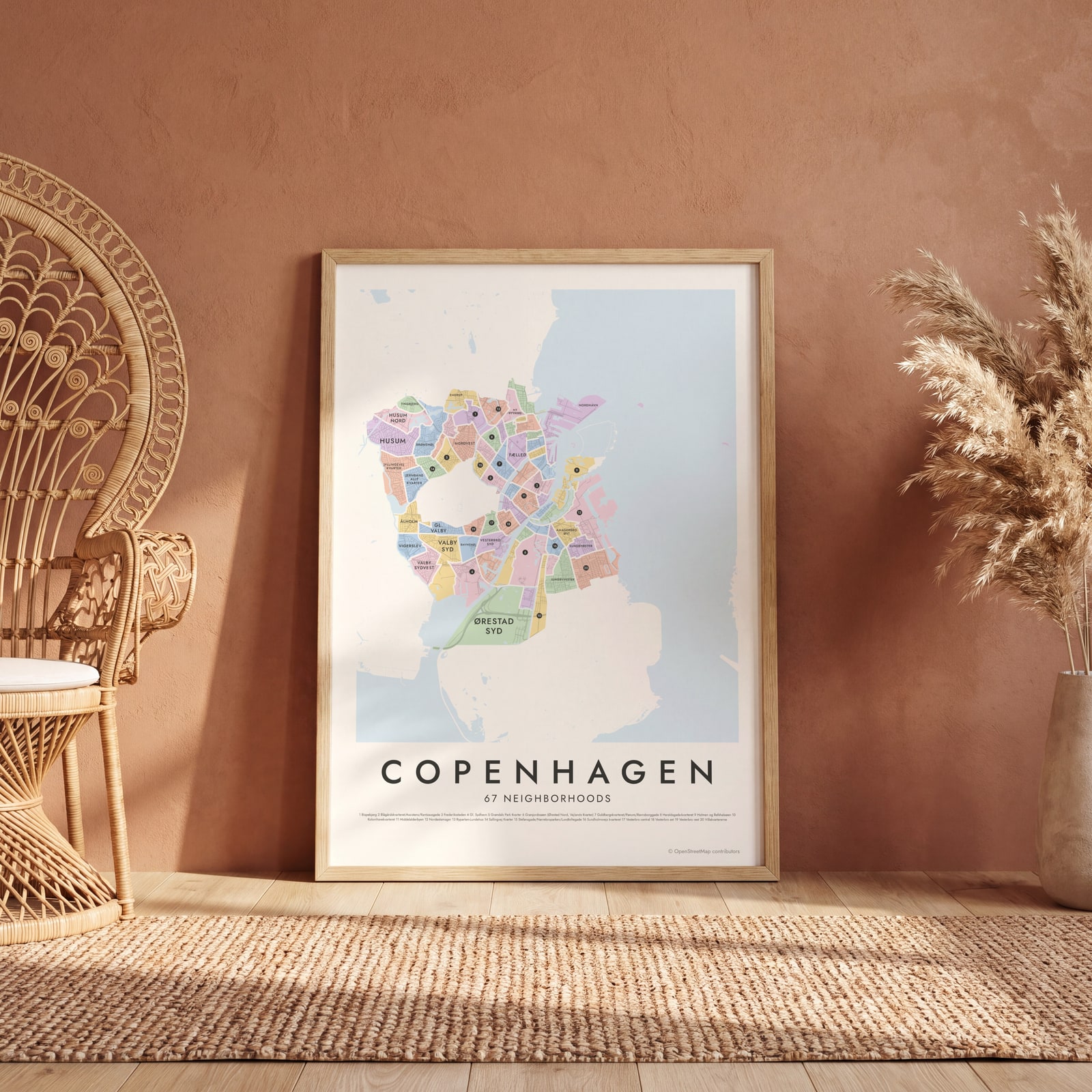
On the wall
A few of them framed at home. Open any one to make it yours.
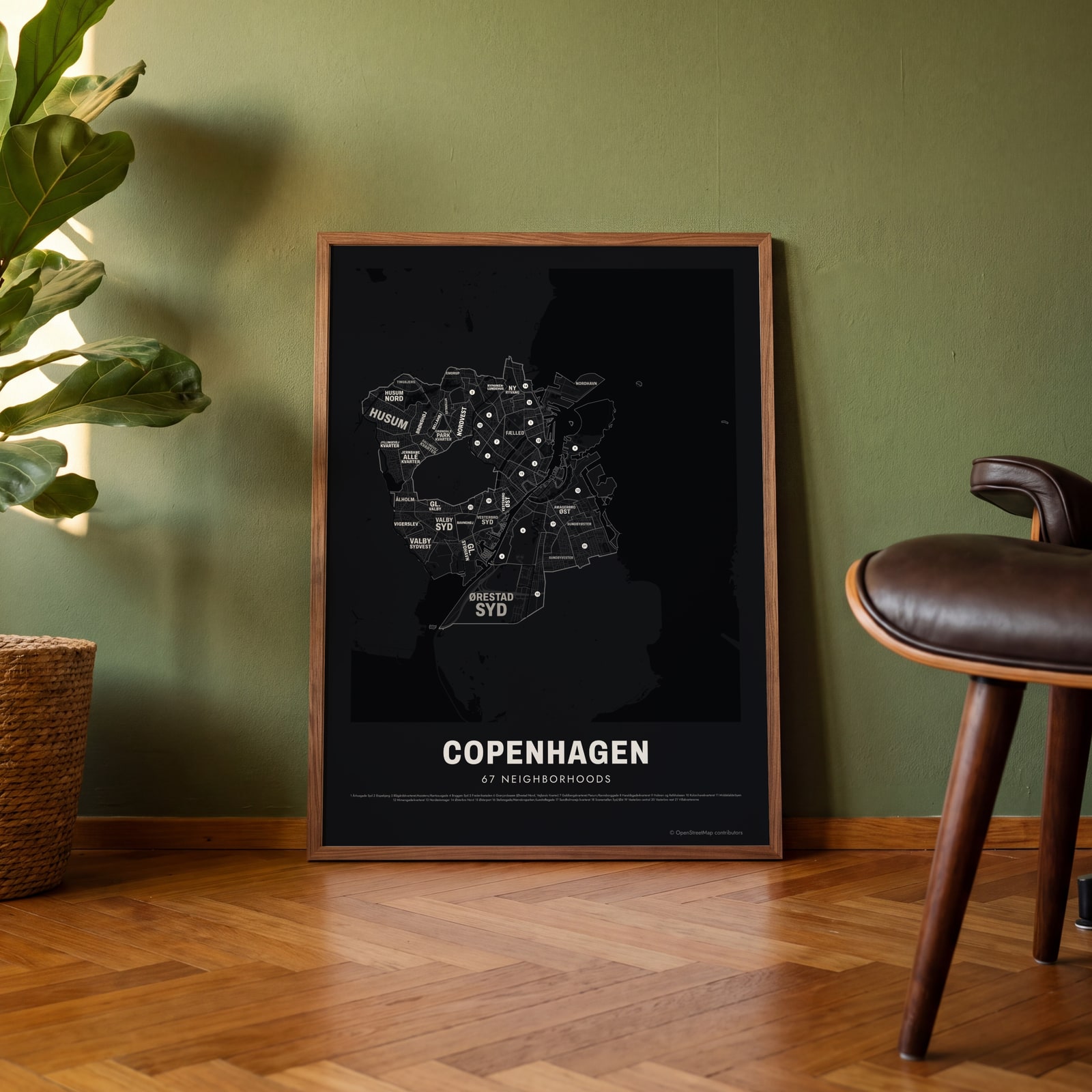 Typographic Copenhagen map: the names fill their neighborhoodsEdit this →
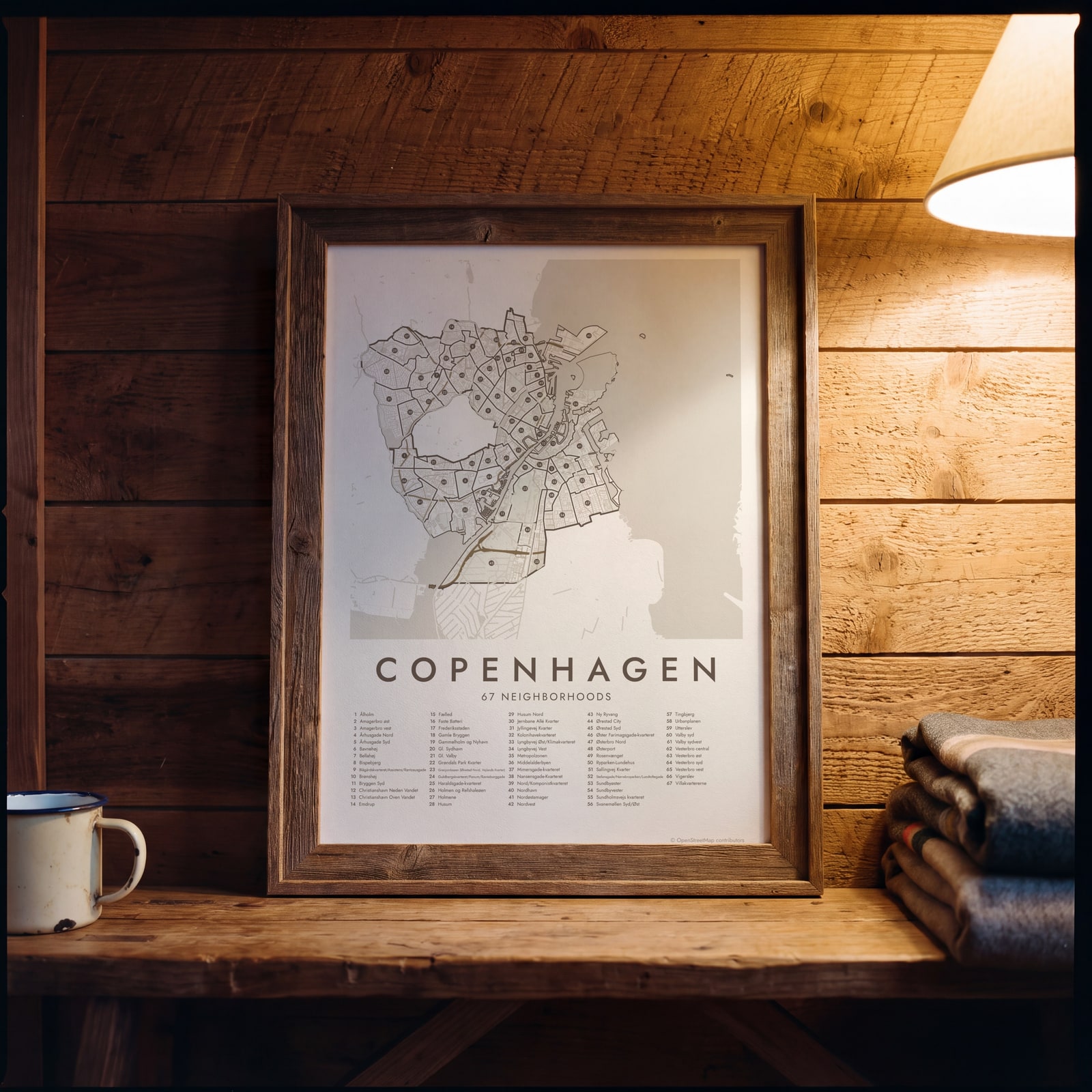 Copenhagen street map with numbered neighborhoods and their listEdit this →
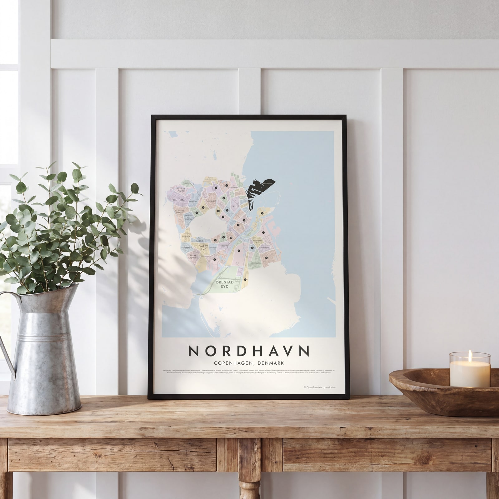 Nordhavn highlighted on a map of CopenhagenEdit this →
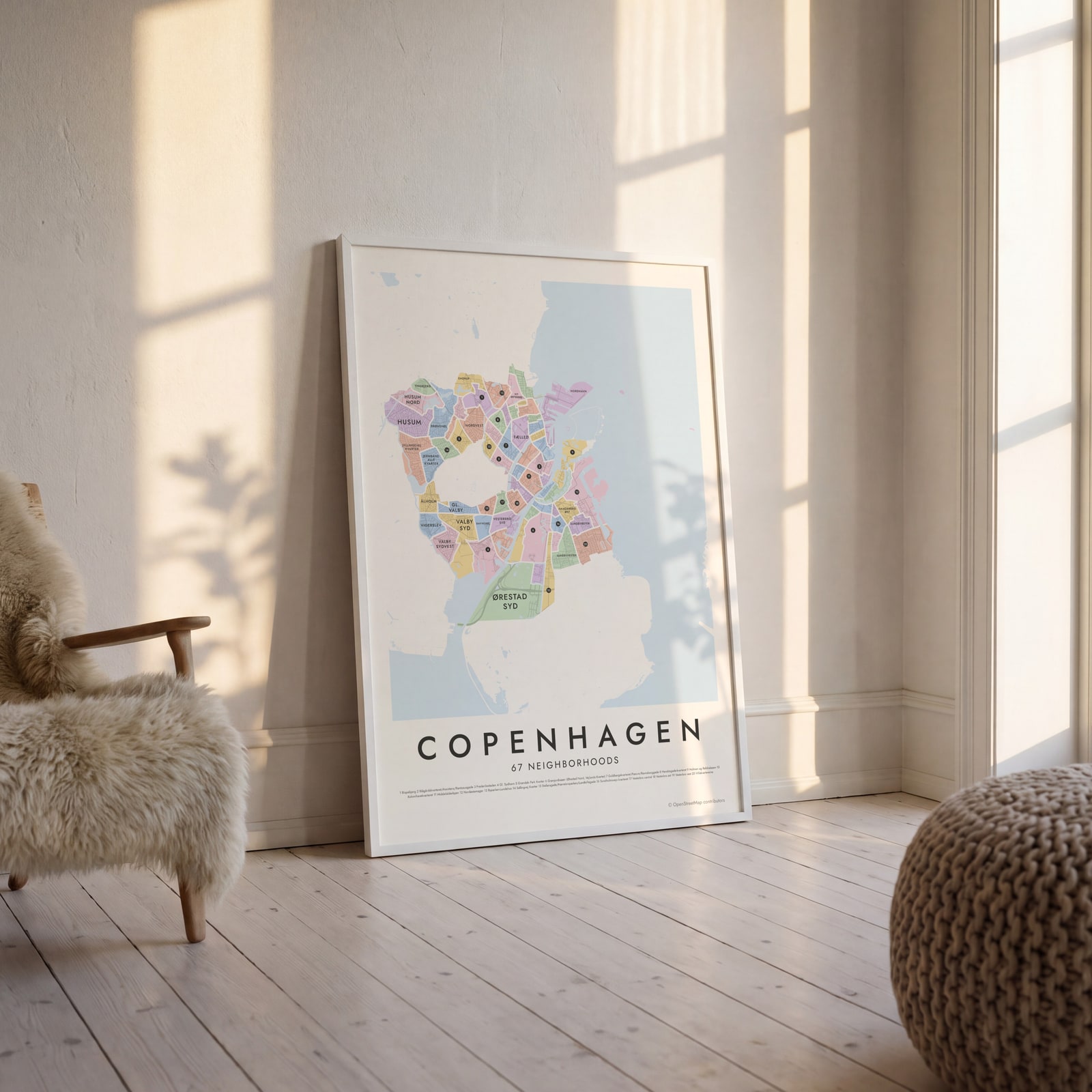 Copenhagen neighborhood map in color, every neighborhood namedEdit this →
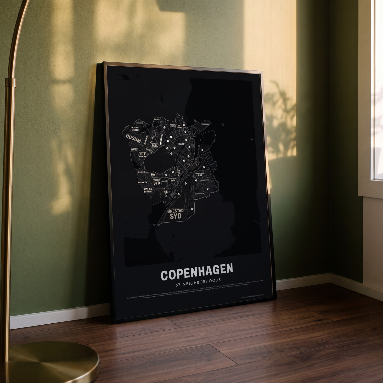 Typographic Copenhagen map: the names fill their neighborhoodsEdit this →
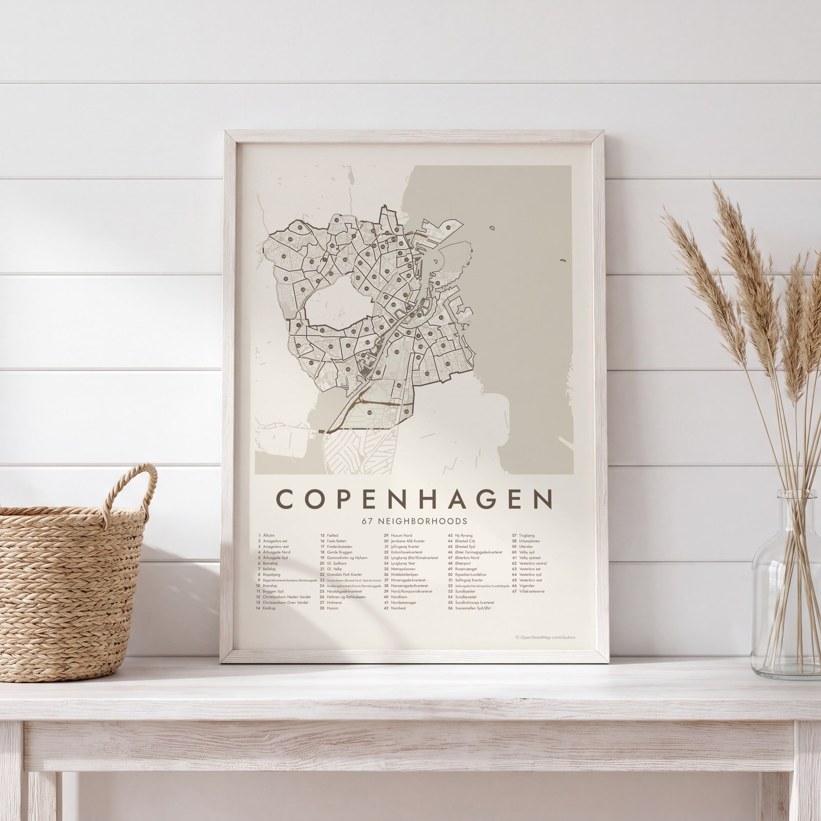 Copenhagen street map with numbered neighborhoods and their listEdit this →
Examples
Open any of them to change the words, the place, the date and the style, then download the print file.
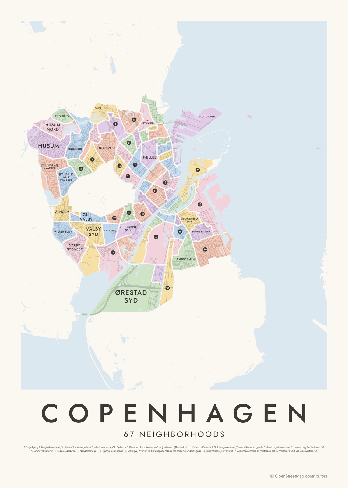 Copenhagen neighborhood map in color, every neighborhood namedEdit this →More neighborhood maps →
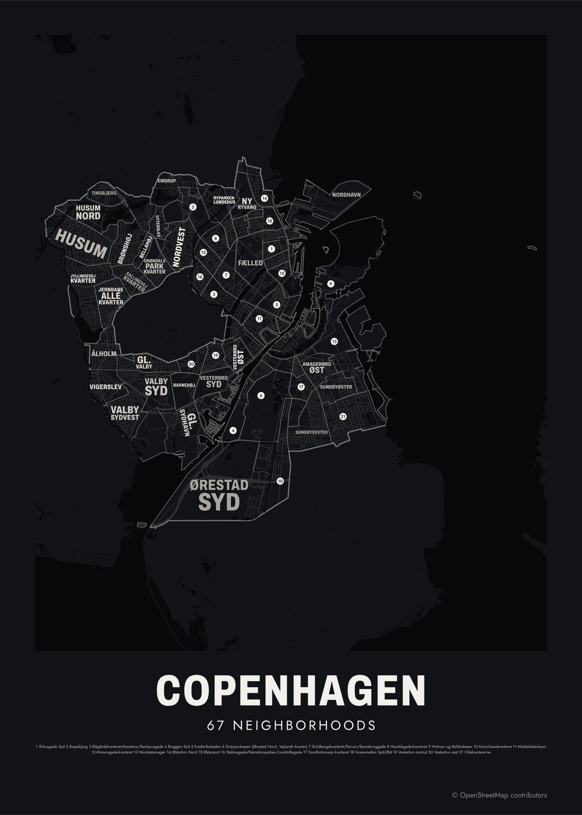 Typographic Copenhagen map: the names fill their neighborhoodsEdit this →More neighborhood maps →
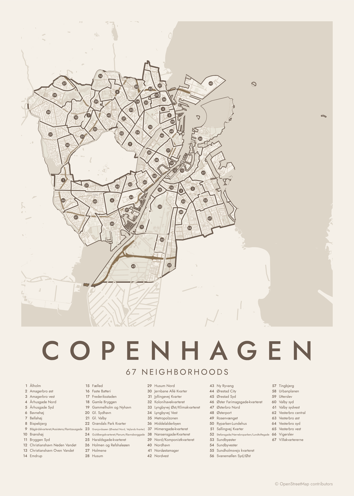 Copenhagen street map with numbered neighborhoods and their listEdit this →More neighborhood maps →
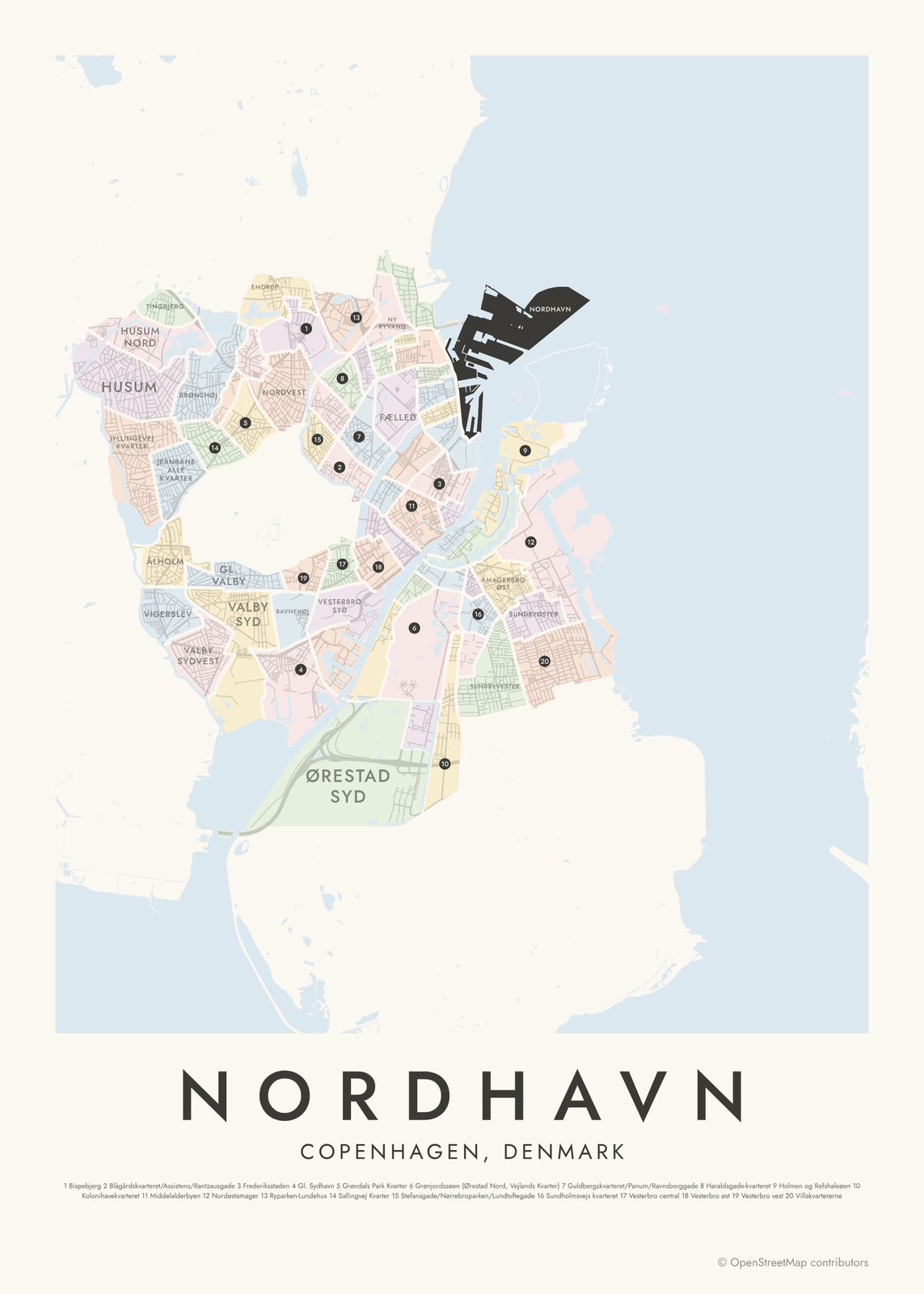 Nordhavn highlighted on a map of CopenhagenEdit this →More neighborhood maps →
How Copenhagen is divided
Copenhagen Municipality has 10 official districts, or bydele, such as Indre By, Nørrebro, Østerbro, Vesterbro/Kongens Enghave and Amager Vest. In its city data, the municipality splits them into 67 smaller kvarterer (quarters), and those are the areas on this map.
Many kvarterer carry names locals already use, like Christianshavn, Nordhavn or Ørestad City. Others are named after a main street, like Århusgade or Nansensgade. Frederiksberg is a separate municipality, completely surrounded by Copenhagen, so it shows as a gap in the middle of the map.
All 67 neighborhoods of Copenhagen
- Ålholm
- Amagerbro øst
- Amagerbro vest
- Århusgade Nord
- Århusgade Syd
- Bavnehøj
- Bellahøj
- Bispebjerg
- Blågårdskvarteret/Assistens/Rantzausgade
- Brønshøj
- Bryggen Syd
- Christianshavn Neden Vandet
- Christianshavn Oven Vandet
- Emdrup
- Fælled
- Faste Batteri
- Frederiksstaden
- Gamle Bryggen
- Gammelholm og Nyhavn
- Gl. Sydhavn
- Gl. Valby
- Grøndals Park Kvarter
- Grønjordssøen (Ørestad Nord, Vejlands Kvarter)
- Guldbergskvarteret/Panum/Ravnsborggade
- Haraldsgade-kvarteret
- Holmen og Refshaleøen
- Holmene
- Husum
- Husum Nord
- Jernbane Allé Kvarter
- Jyllingevej Kvarter
- Kolonihavekvarteret
- Lyngbyvej Øst/Klimakvarteret
- Lyngbyvej Vest
- Metropolzonen
- Middelalderbyen
- Mimersgade-kvarteret
- Nansensgade-Kvarteret
- Nord/Komponistkvarteret
- Nordhavn
- Nordøstamager
- Nordvest
- Ny Ryvang
- Ørestad City
- Ørestad Syd
- Øster Farimagsgade-kvarteret
- Østerbro Nord
- Østerport
- Rosenvænget
- Ryparken-Lundehus
- Sallingvej Kvarter
- Stefansgade/Nørrebroparken/Lundtoftegade
- Sundbyøster
- Sundbyvester
- Sundholmsvejs kvarteret
- Svanemøllen Syd/Øst
- Tingbjerg
- Urbanplanen
- Utterslev
- Valby syd
- Valby sydvest
- Vesterbro central
- Vesterbro øst
- Vesterbro syd
- Vesterbro vest
- Vigerslev
- Villakvartererne
More neighborhood names on the map
Inside the neighborhoods, the map also names 40 smaller neighborhoods where they fit, from OpenStreetMap: Vanløse, Valby, Carlsberg Byen, Nørrebro, Vesterbro, Kødbyen, Ørestad, Ballonparken, Østerbro, Indre By, Christianshavn, Amagerbro, Kongens Enghave, Frederiksholm, Den Gule By, Sydhavnen, Lyngbyvejskvarteret, De Gamles By, Vestervold, Nørrevold, Islands Brygge, Østervold, Nyboder, Gammelholm, Holmen, Bjerglandsbyen, Grønttorvet, Valby Maskinfabrik, Grøndal, Humleby, Sluseholmen, Frederiks Brygge, Teglholmen, Postbyen, Indre Østerbro, Våren, Elmegården, Marmormolen, Sundmolen, Margretheholm. Turn them off under Names if you want only the neighborhoods.
Neighborhoods to know
- Gammelholm og Nyhavn: the 17th-century canal harbor lined with brightly painted townhouses.
- Frederiksstaden: the rococo quarter laid out in 1749, with Amalienborg Palace and the Marble Church.
- Middelalderbyen: the medieval core of the city, crossed by the pedestrian street Strøget.
- Christianshavn: built on reclaimed land in the 17th century, with canals and the spiral spire of the Church of Our Saviour.
- Nyboder: rows of yellow terraced houses built for navy families from the 1630s.
- Holmen og Refshaleøen: the old naval base and shipyard islands, now home to the Opera House.
- Kødbyen: Vesterbro's old meatpacking district, now also known for its restaurants.
- Blågårdskvarteret/Assistens/Rantzausgade: around Assistens Cemetery, where Hans Christian Andersen and Søren Kierkegaard are buried.
How to make your Copenhagen neighborhood poster
- Open the Copenhagen map.
- Pick a style: Colored areas, Typographic (the names fill the map) or a Street map with the borders over the streets.
- Tap your own neighborhood to highlight it; it becomes the poster's title.
- Drag and zoom to frame the whole city or just your part of it, then pick a size and download the print file.
Questions
How many neighborhoods does Copenhagen have?
The municipality has 10 official districts (bydele) and, in its city data, 67 smaller kvarterer. This map shows the 67 kvarterer, with district names and many local place names as labels.
What are the 10 districts of Copenhagen?
Indre By, Østerbro, Nørrebro, Vesterbro/Kongens Enghave, Valby, Vanløse, Brønshøj-Husum, Bispebjerg, Amager Øst and Amager Vest.
Is Frederiksberg part of Copenhagen?
No. Frederiksberg is its own municipality, even though Copenhagen surrounds it on every side. That's why it appears as a gap in the middle of this map.
Where do the Copenhagen boundaries come from?
From OpenStreetMap (© OpenStreetMap contributors) and Københavns Kommune. Streets and water are OpenStreetMap's. Boundaries are a snapshot and can differ from what neighbors call home; tell us if one looks wrong.
What sizes can I print?
US Letter, 8 × 10, 11 × 14, 12 × 16 and 12 × 18 in, A4 and A3, free. You download a 300 DPI JPEG drawn at the size you pick. Larger prints, up to 24 × 36 in, are coming soon.
Related

Gift ideas by occasion




Every example is made with the Posterage generators. Change anything, then download it as a 300 DPI JPEG.