Prague neighborhood map Prague 1 to 22, and 112 neighborhoods
This poster maps Prague by its 22 administrative districts, Prague 1 to Prague 22, each one named. Switch to the 112 cadastral areas for the names Praguers actually use, like Vinohrady, Žižkov, Smíchov and Karlín. Highlight the one you live in and print it.
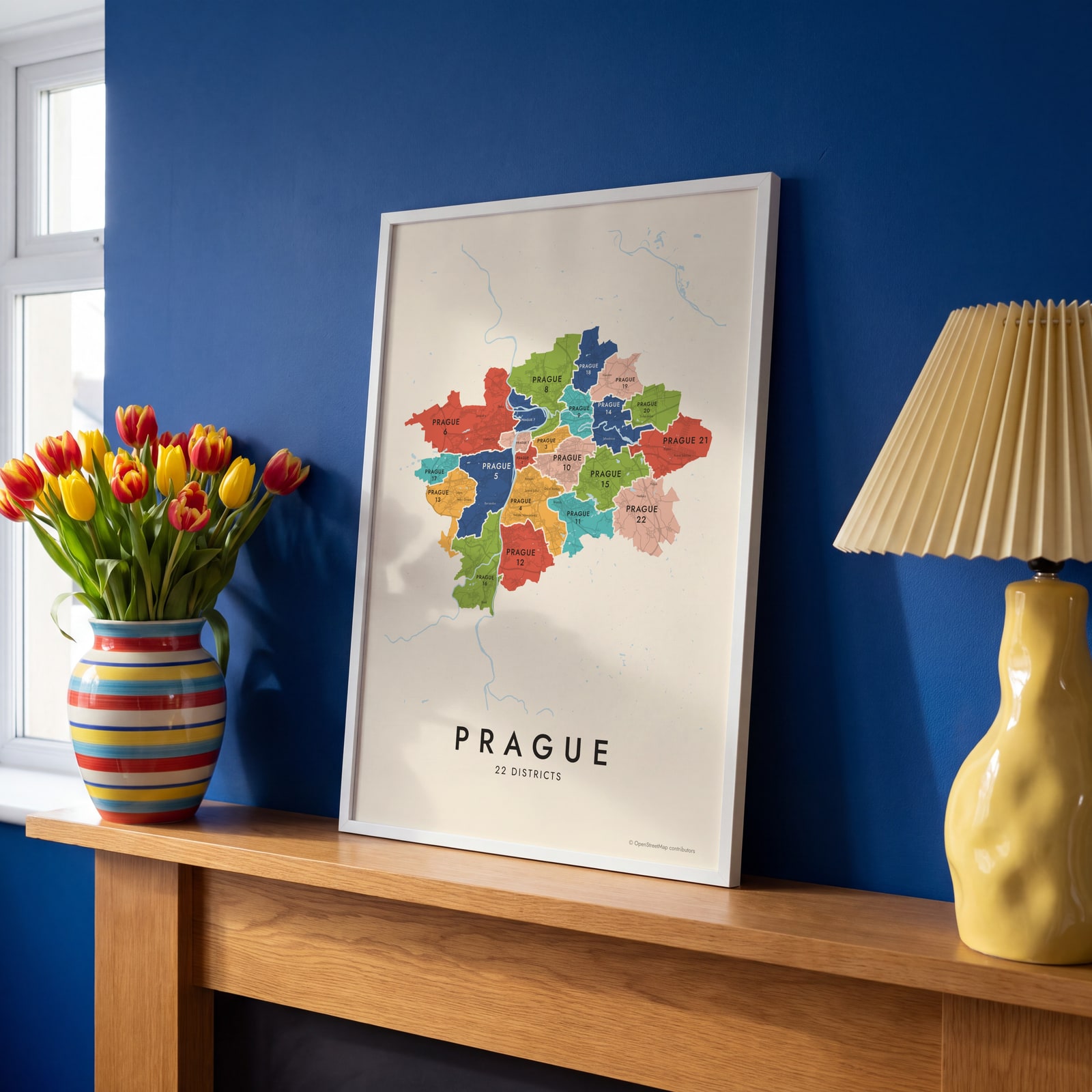
On the wall
A few of them framed at home. Open any one to make it yours.
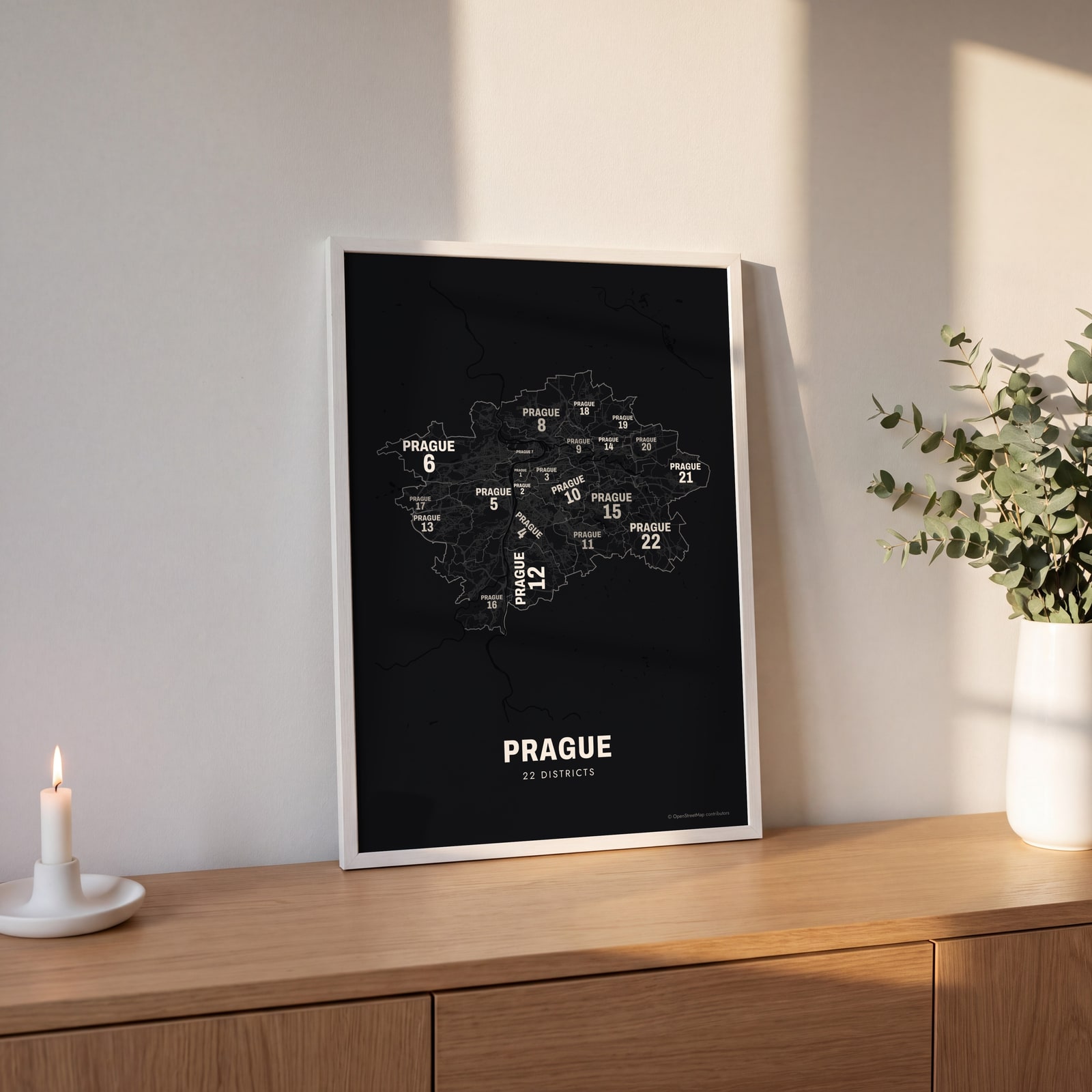 Typographic Prague map: the names fill their districtsEdit this →
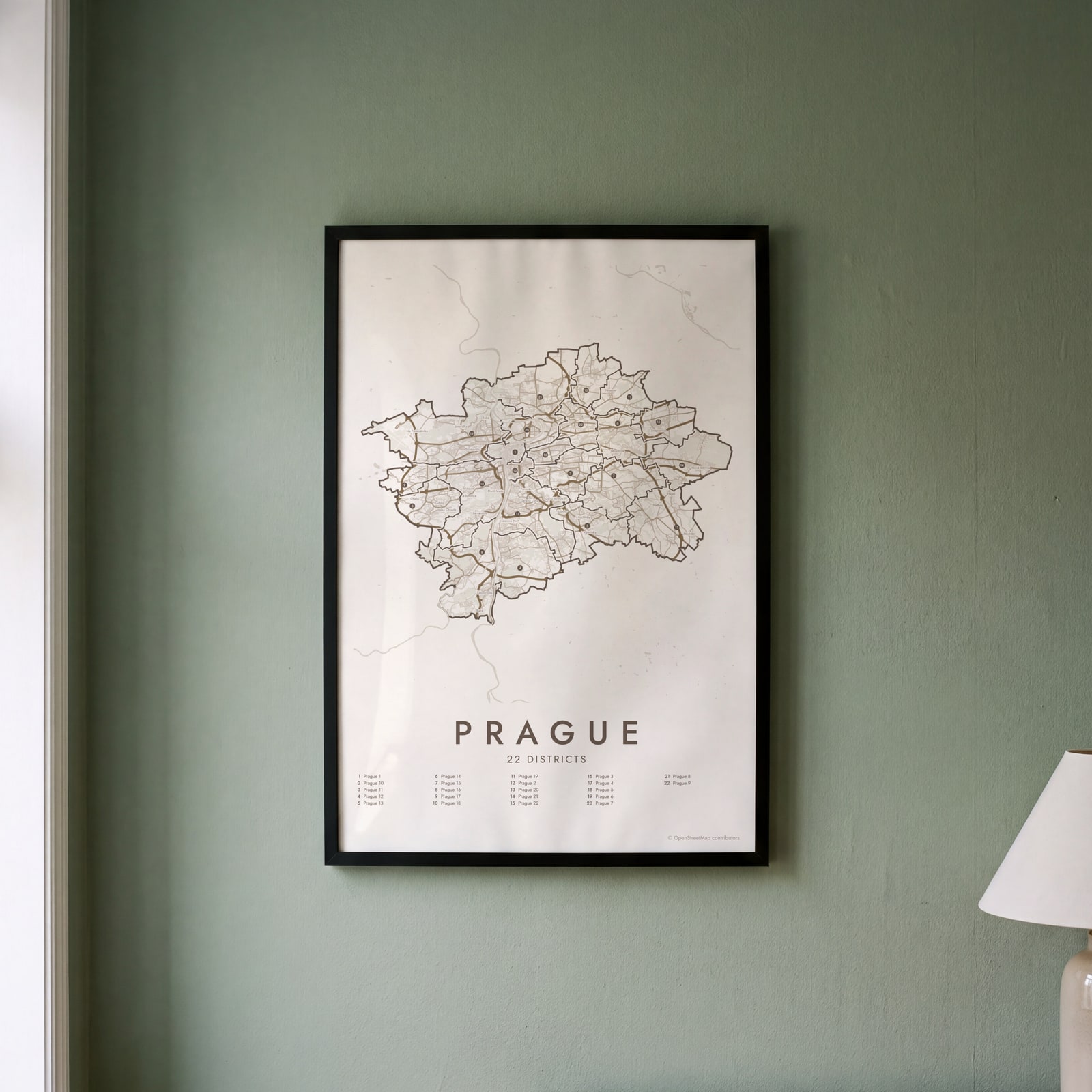 Prague street map with numbered districts and their listEdit this →
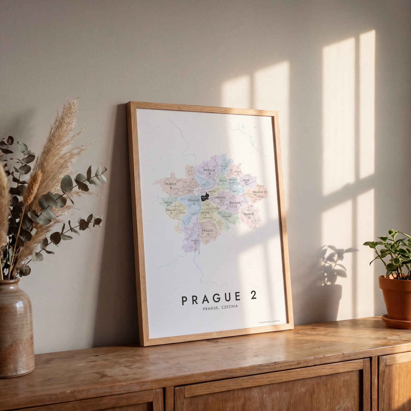 Prague 2 highlighted on a map of PragueEdit this →
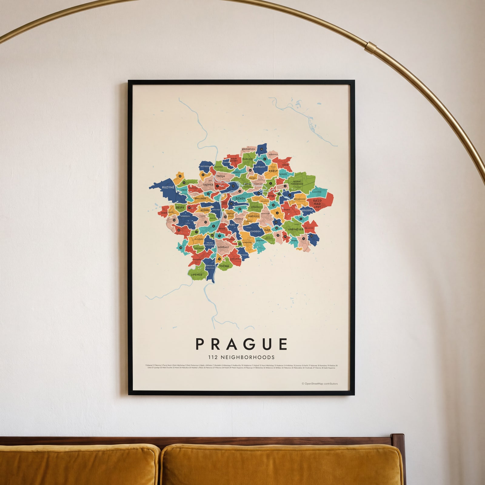 Prague's 112 neighborhoods in colorEdit this →
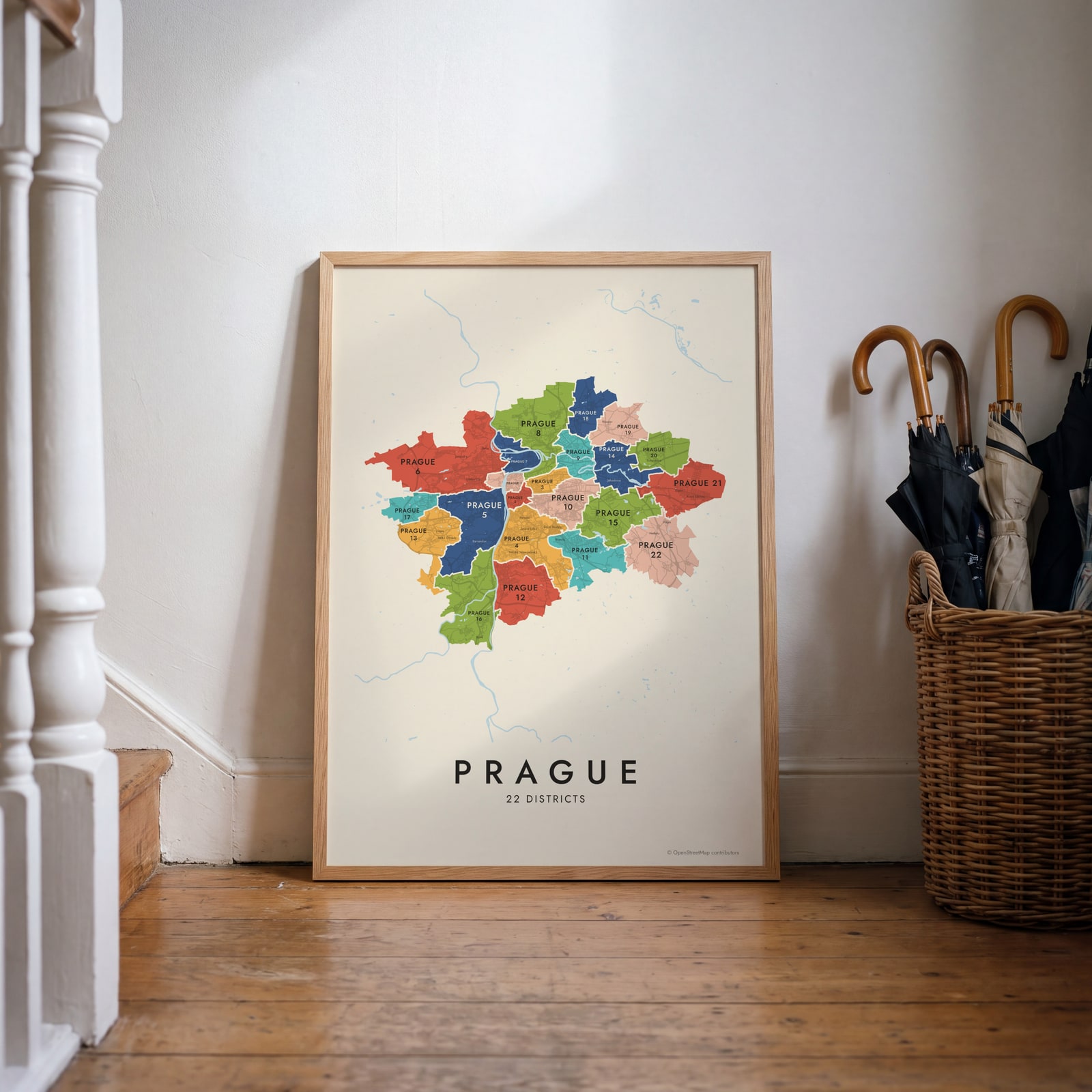 Prague neighborhood map in color, every district namedEdit this →
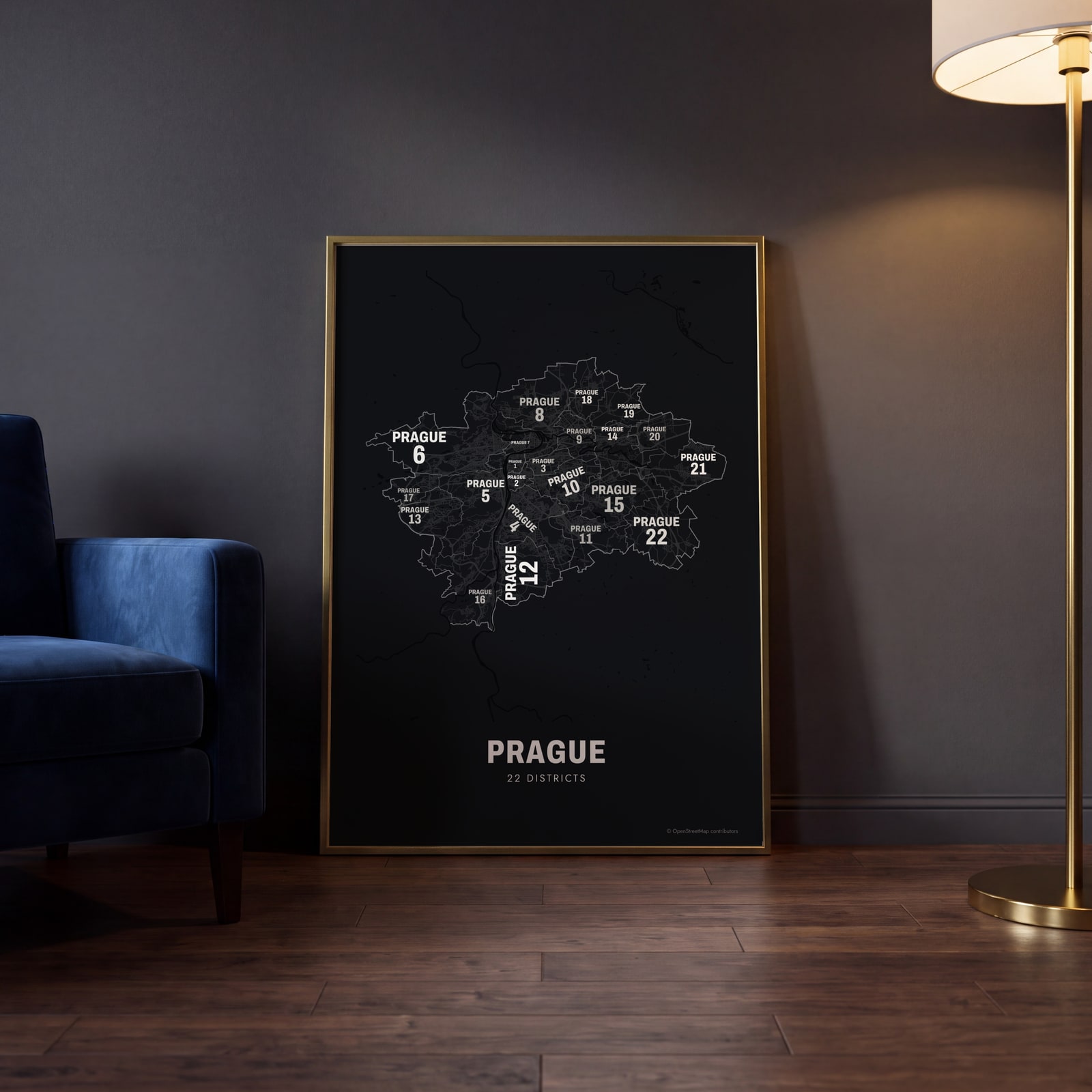 Typographic Prague map: the names fill their districtsEdit this →
Examples
Open any of them to change the words, the place, the date and the style, then download the print file.
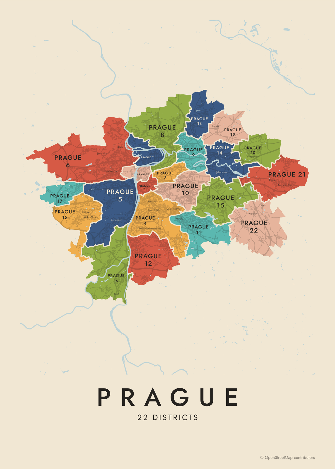 Prague neighborhood map in color, every district namedEdit this →More neighborhood maps →
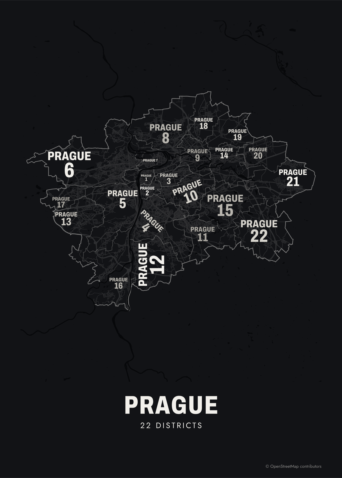 Typographic Prague map: the names fill their districtsEdit this →More neighborhood maps →
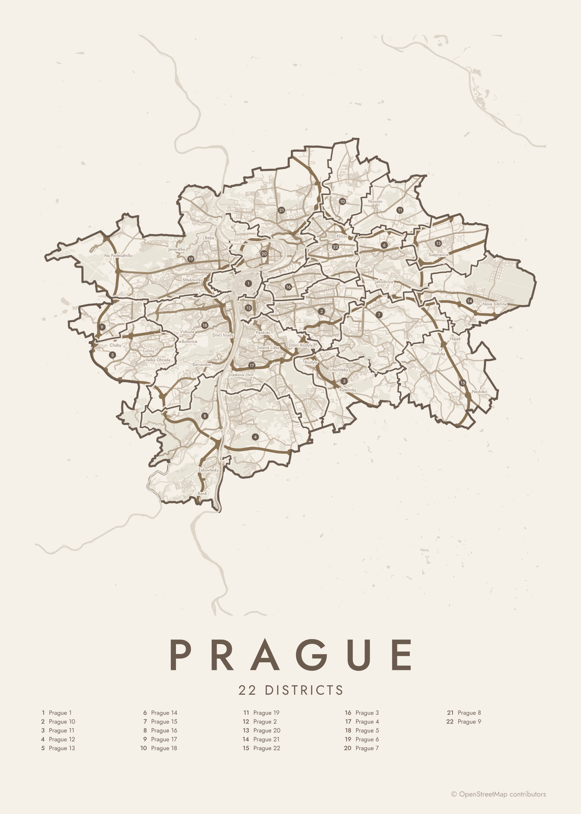 Prague street map with numbered districts and their listEdit this →More neighborhood maps →
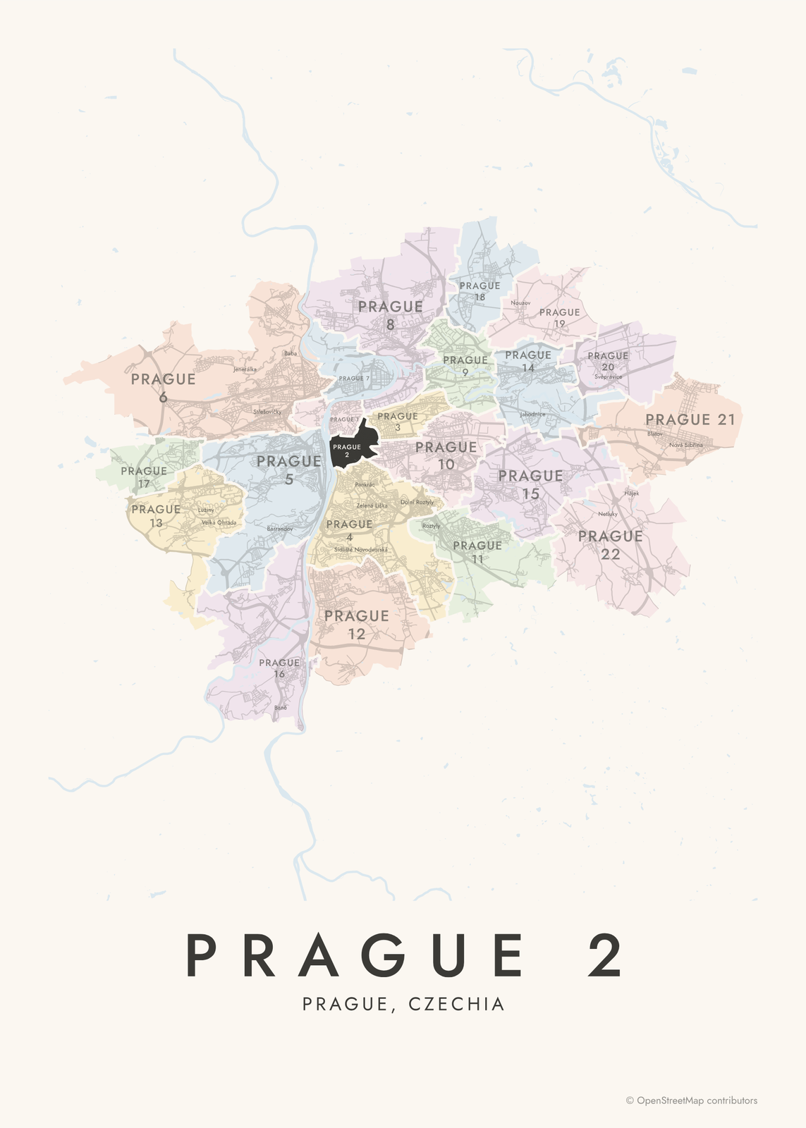 Prague 2 highlighted on a map of PragueEdit this →More neighborhood maps →
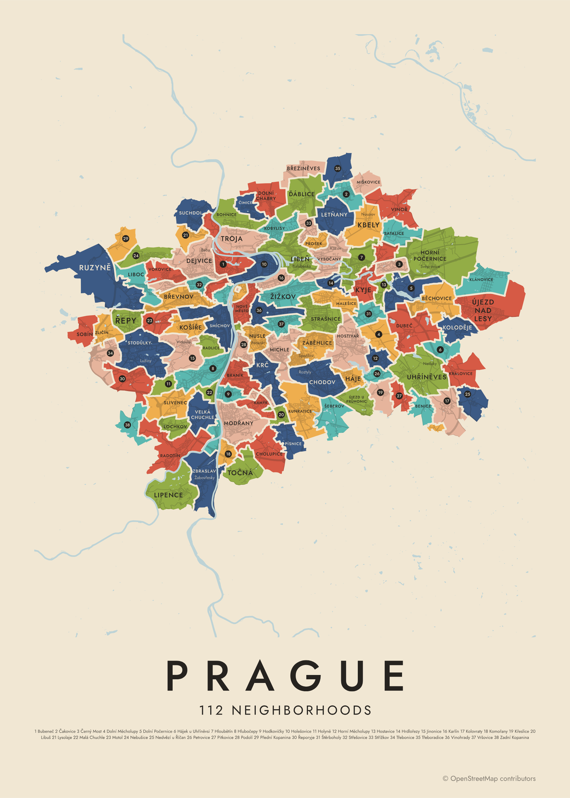 Prague's 112 neighborhoods in colorEdit this →More neighborhood maps →
How Prague is divided
Prague has several overlapping divisions. Since 1992 the city has had 57 self-governing municipal parts, each with its own town hall. Since 2001 they have been grouped into 22 numbered administrative districts, Prague 1 to Prague 22, and those are the first level on this map. An older split into 10 districts, from 1960, is still used for some purposes, so a name like Prague 4 can mean a bigger area depending on the context.
The 112 cadastral areas are the units of the land register, and most follow the borders of a historic town or village: Staré Město, Malá Strana, Vinohrady, Žižkov, Smíchov. These are the neighborhood names Praguers use day to day. They don't always line up with the districts. Vinohrady, for example, is split mostly between Prague 2, 3 and 10.
All 22 districts of Prague
- Prague 1
- Prague 2
- Prague 3
- Prague 4
- Prague 5
- Prague 6
- Prague 7
- Prague 8
- Prague 9
- Prague 10
- Prague 11
- Prague 12
- Prague 13
- Prague 14
- Prague 15
- Prague 16
- Prague 17
- Prague 18
- Prague 19
- Prague 20
- Prague 21
- Prague 22
All 112 neighborhoods of Prague
- Běchovice
- Benice
- Bohnice
- Braník
- Břevnov
- Březiněves
- Bubeneč
- Čakovice
- Černý Most
- Chodov
- Cholupice
- Čimice
- Ďáblice
- Dejvice
- Dolní Chabry
- Dolní Měcholupy
- Dolní Počernice
- Dubeč
- Háje
- Hájek u Uhříněvsi
- Hloubětín
- Hlubočepy
- Hodkovičky
- Holešovice
- Holyně
- Horní Měcholupy
- Horní Počernice
- Hostavice
- Hostivař
- Hradčany
- Hrdlořezy
- Jinonice
- Josefov
- Kamýk
- Karlín
- Kbely
- Klánovice
- Kobylisy
- Koloděje
- Kolovraty
- Komořany
- Košíře
- Královice
- Krč
- Křeslice
- Kunratice
- Kyje
- Lahovice
- Letňany
- Lhotka
- Libeň
- Liboc
- Libuš
- Lipany
- Lipence
- Lochkov
- Lysolaje
- Malá Chuchle
- Malá Strana
- Malešice
- Michle
- Miškovice
- Modřany
- Motol
- Nebušice
- Nedvězí u Říčan
- Nové Město
- Nusle
- Petrovice
- Písnice
- Pitkovice
- Podolí
- Přední Kopanina
- Prosek
- Radlice
- Radotín
- Řeporyje
- Řepy
- Ruzyně
- Satalice
- Šeberov
- Sedlec
- Slivenec
- Smíchov
- Sobín
- Staré Město
- Štěrboholy
- Stodůlky
- Strašnice
- Střešovice
- Střížkov
- Suchdol
- Točná
- Třebonice
- Třeboradice
- Troja
- Uhříněves
- Újezd nad Lesy
- Újezd u Průhonic
- Veleslavín
- Velká Chuchle
- Vinohrady
- Vinoř
- Vokovice
- Vršovice
- Vyšehrad
- Vysočany
- Záběhlice
- Zadní Kopanina
- Zbraslav
- Žižkov
- Zličín
More neighborhood names on the map
Inside the districts, the map also names 80 smaller neighborhoods where they fit, from OpenStreetMap: Hájek, Nedvězí, Lužiny, Dolní Černošice, Velká Ohrada, Nové Butovice, Nová Ves, Jenerálka, Vidoule, Butovice, Hanspaulka, Barrandov, Baně, Ořechovka, Žabovřesky, Baba, Malvazinky, Dívčí hrady, Zlíchov, Jiráskova čtvrť, Pankrác, Jalový Dvůr, Palmovka, Třebešín, Roztyly, Spořilov, Klíčov, Hrnčíře, Jižní Město, Jahodnice, Na Hutích, Chvaly, Netluky, Chaby, Na Padesátníku, Britská čtvrť, Zmrzlík, Cikánka, Malá Ohrada, Botanika and more. Turn them off under Names if you want only the districts.
Neighborhoods to know
- Staré Město: the Old Town, with Old Town Square and the astronomical clock on the Old Town Hall.
- Malá Strana: the Lesser Town below Prague Castle, joined to the Old Town by Charles Bridge.
- Hradčany: the castle district, home to Prague Castle and St. Vitus Cathedral.
- Josefov: the former Jewish Town, with its old synagogues and the Old Jewish Cemetery.
- Vinohrady: named for the royal vineyards that once grew here, centered on Náměstí Míru and the Church of St. Ludmila.
- Žižkov: a hilly quarter known for the Žižkov Television Tower.
- Vyšehrad: a hilltop fortress above the Vltava, with the cemetery where Dvořák and Smetana are buried.
- Troja: home of Troja Château and the Prague Zoo.
How to make your Prague neighborhood poster
- Open the Prague map and pick districts or neighborhoods.
- Pick a style: Colored areas, Typographic (the names fill the map) or a Street map with the borders over the streets.
- Tap your own neighborhood to highlight it; it becomes the poster's title.
- Drag and zoom to frame the whole city or just your part of it, then pick a size and download the print file.
Questions
How many districts does Prague have?
It depends which division you mean. There are 22 administrative districts, Prague 1 to Prague 22, made up of 57 municipal parts with their own councils. An older set of 10 districts from 1960 is still used for some purposes. Underneath them all are 112 cadastral areas, the neighborhood names on this map.
Which district is Prague's Old Town in?
Prague 1. It holds most of the historic center: Staré Město, Josefov and Malá Strana, plus parts of Hradčany and Nové Město.
Is Vinohrady a district?
Not an administrative one. Vinohrady is a cadastral area, a historic town that joined Prague in 1922, and today it is split mostly between Prague 2, 3 and 10. Many well-known names, like Žižkov and Smíchov, are neighborhoods in the same way, not districts.
Where do the Prague boundaries come from?
From OpenStreetMap (© OpenStreetMap contributors). Streets and water are OpenStreetMap's. Boundaries are a snapshot and can differ from what neighbors call home; tell us if one looks wrong.
What sizes can I print?
US Letter, 8 × 10, 11 × 14, 12 × 16 and 12 × 18 in, A4 and A3, free. You download a 300 DPI JPEG drawn at the size you pick. Larger prints, up to 24 × 36 in, are coming soon.
Related

Gift ideas by occasion




Every example is made with the Posterage generators. Change anything, then download it as a 300 DPI JPEG.