Vienna districts map 23 Bezirke, 89 old villages and suburbs
This poster maps Vienna by its 23 Bezirke, the numbered districts from Innere Stadt out to Liesing, each one named. Switch to the 89 Katastralgemeinden for a finer map of the old villages and suburbs, like Grinzing, Ottakring and Hütteldorf. Highlight the one you live in and print it.
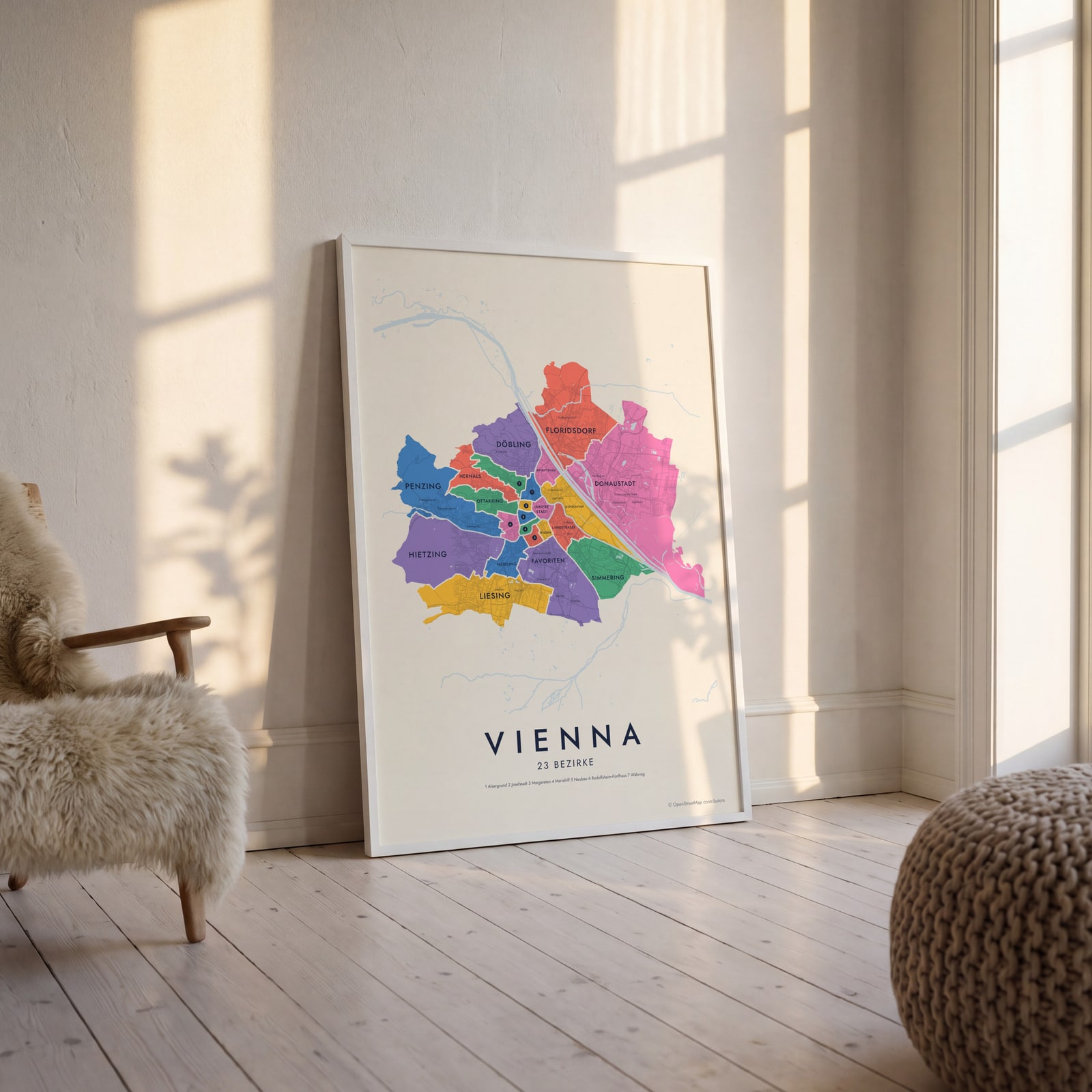
On the wall
A few of them framed at home. Open any one to make it yours.
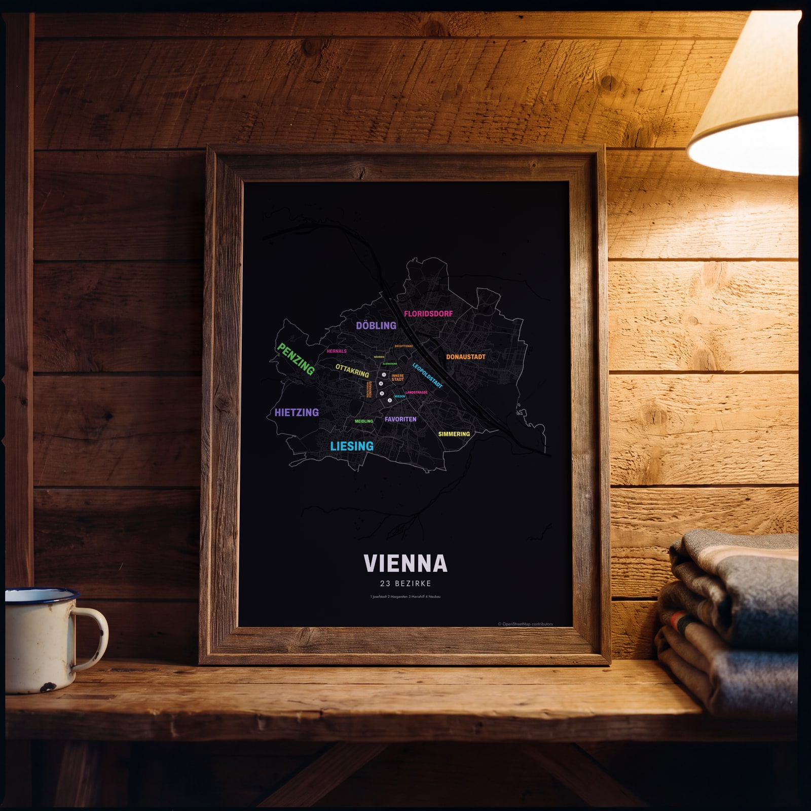 Typographic Vienna map: the names fill their bezirkeEdit this →
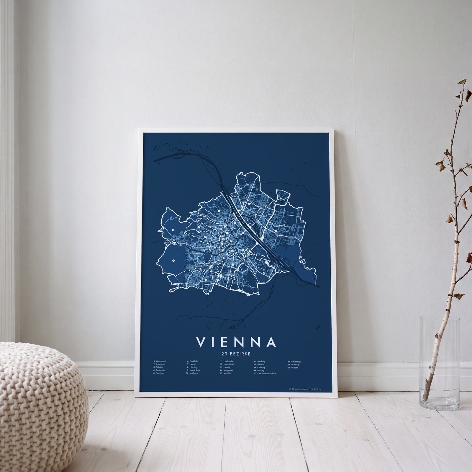 Vienna street map with numbered bezirke and their listEdit this →
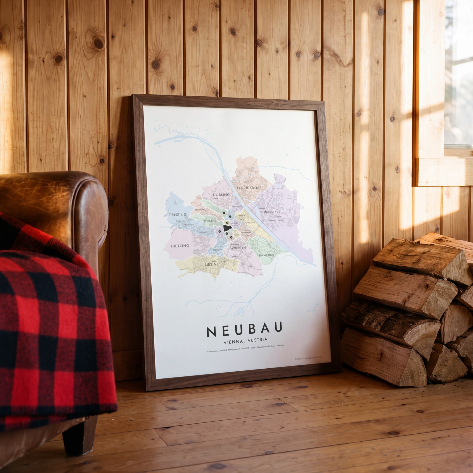 Neubau highlighted on a map of ViennaEdit this →
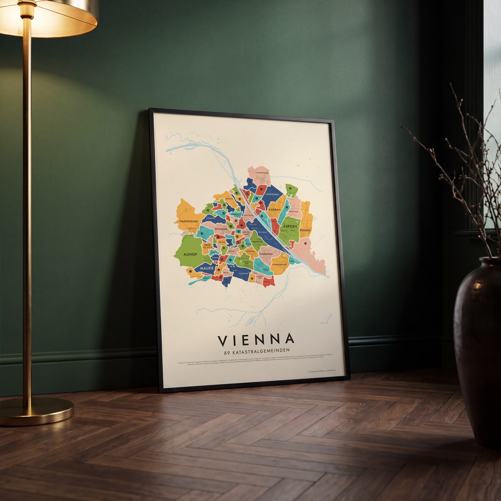 Vienna's 89 katastralgemeinden in colorEdit this →
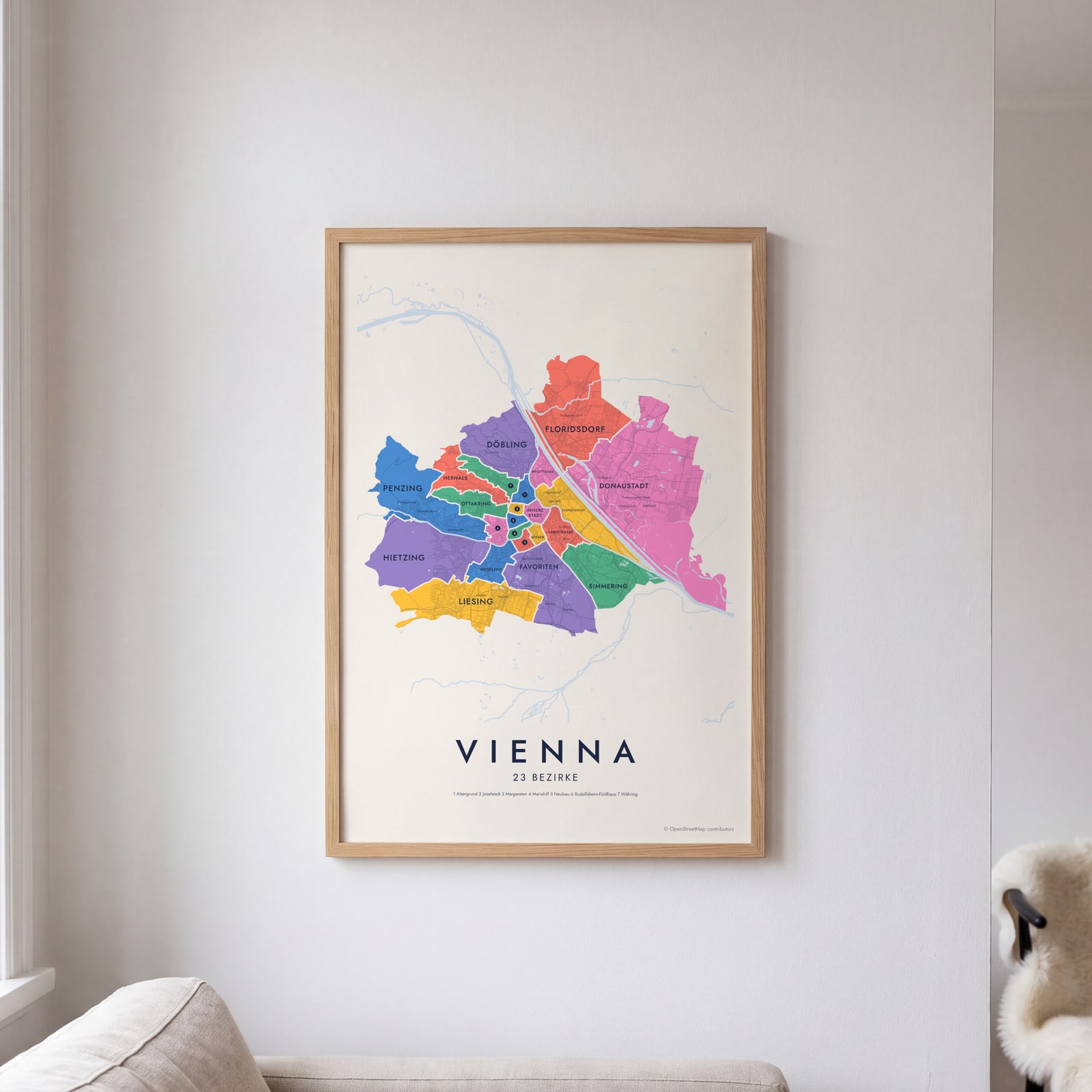 Vienna neighborhood map in color, every bezirk namedEdit this →
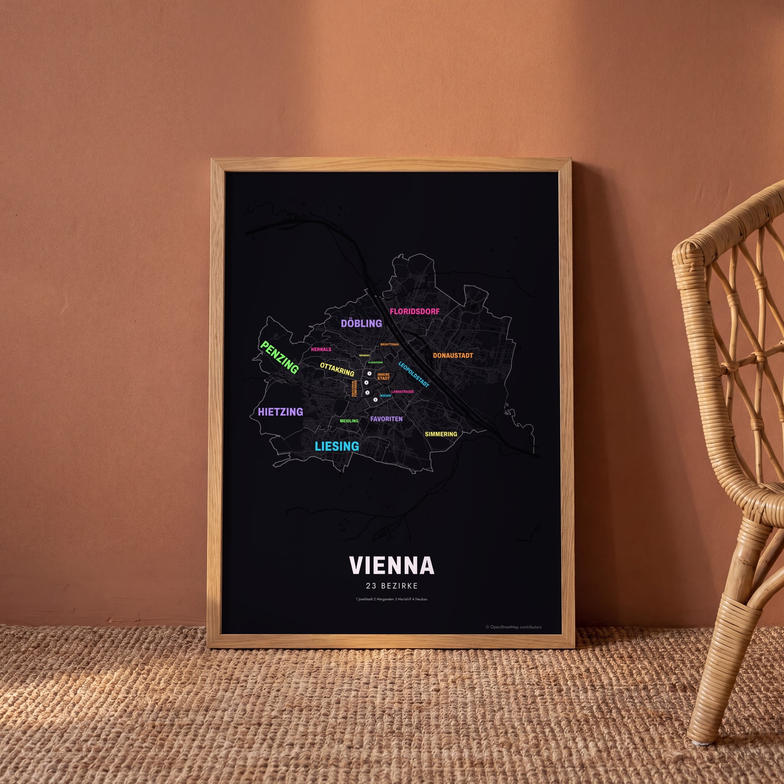 Typographic Vienna map: the names fill their bezirkeEdit this →
Examples
Open any of them to change the words, the place, the date and the style, then download the print file.
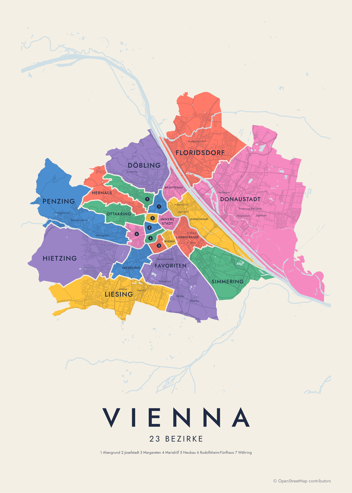 Vienna neighborhood map in color, every bezirk namedEdit this →More neighborhood maps →
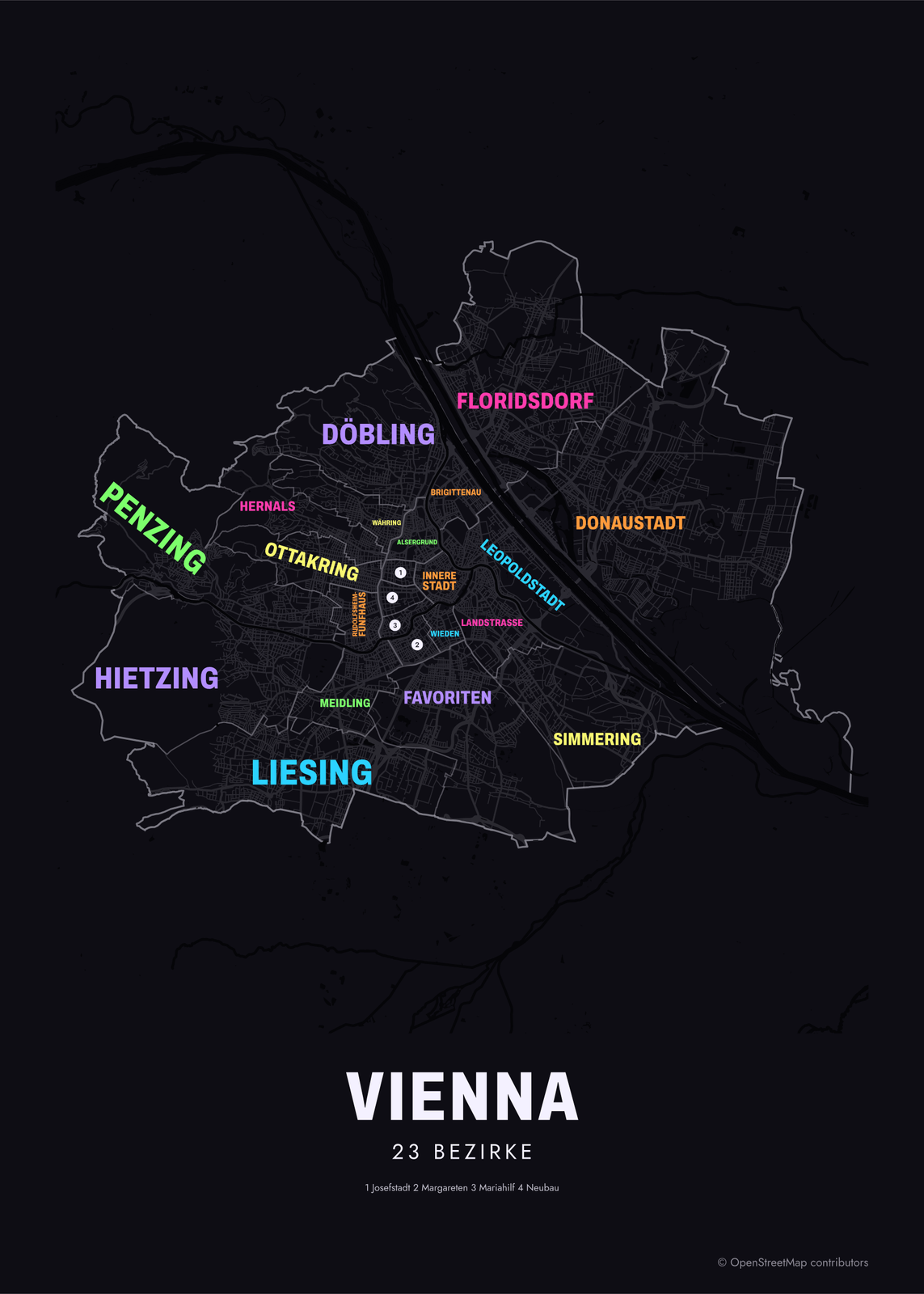 Typographic Vienna map: the names fill their bezirkeEdit this →More neighborhood maps →
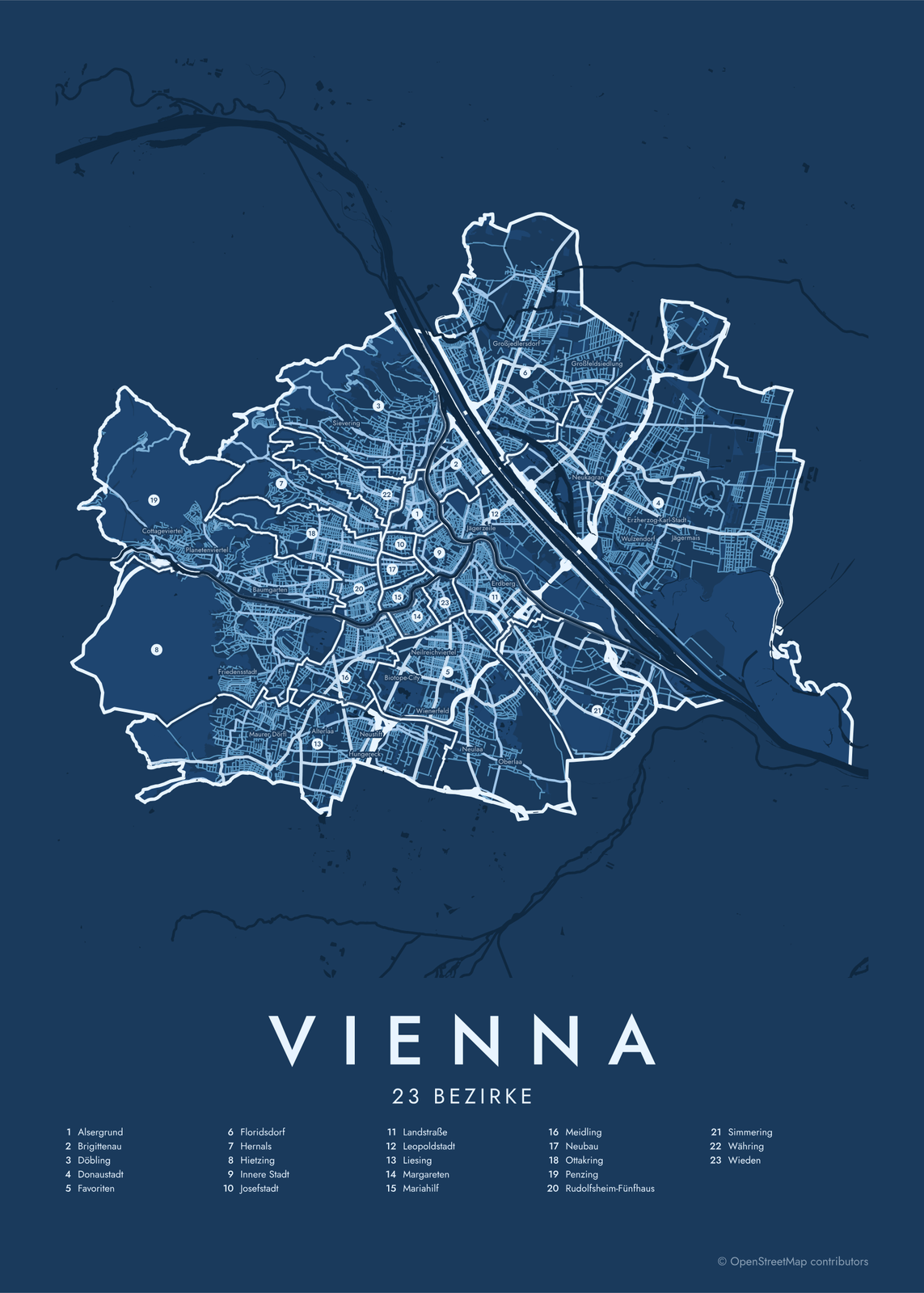 Vienna street map with numbered bezirke and their listEdit this →More neighborhood maps →
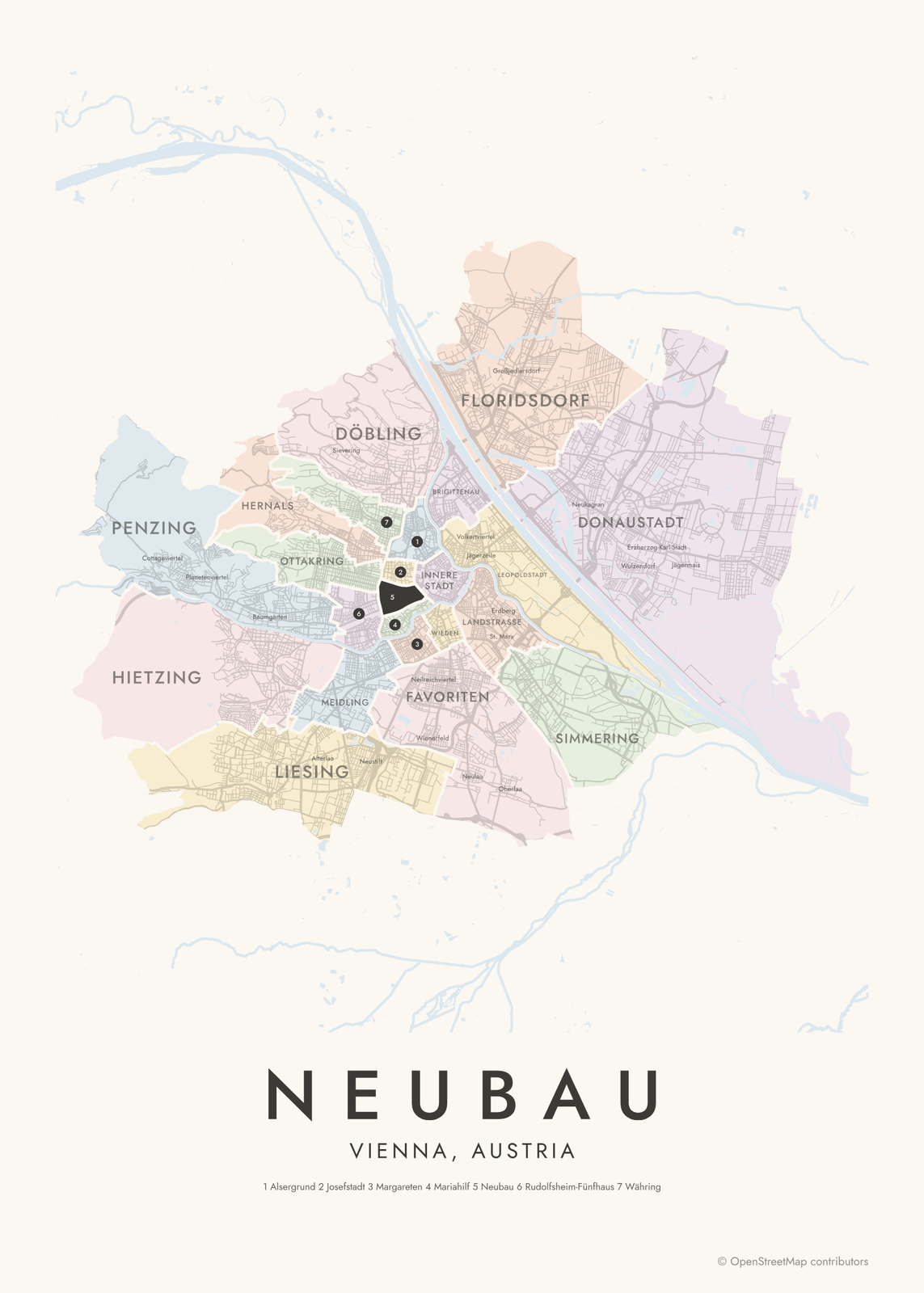 Neubau highlighted on a map of ViennaEdit this →More neighborhood maps →
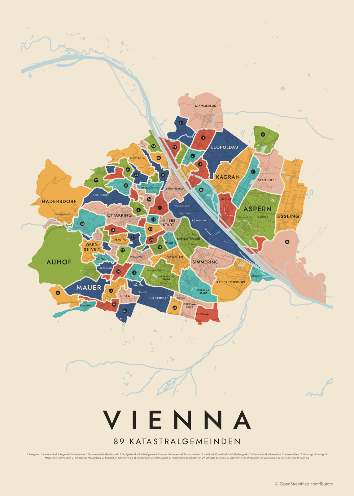 Vienna's 89 katastralgemeinden in colorEdit this →More neighborhood maps →
How Vienna is divided
Vienna is both a city and one of Austria's nine federal states, and it is split into 23 Bezirke, or districts. Each has a number and a name, and the numbers run outward from the 1st, Innere Stadt. Districts 2 to 9 grew out of the old suburbs just beyond the city walls. Most outer districts were once villages, taken in by the city in waves from 1892 to 1938, and the current 23 were set in 1954. Viennese often name a district by its number: the 7th is Neubau.
Inside the districts are 89 Katastralgemeinden, or cadastral communities, the units of the land register. Most keep the name and borders of a village or suburb from before it joined the city, so the outer districts hold many of them: Döbling alone has 11, including Grinzing, Heiligenstadt and Nußdorf. These are the names many Viennese still use for where they live. Smaller quarters, like Spittelberg or the Stuwerviertel, appear on the map as labels.
All 23 bezirke of Vienna
- Alsergrund
- Brigittenau
- Döbling
- Donaustadt
- Favoriten
- Floridsdorf
- Hernals
- Hietzing
- Innere Stadt
- Josefstadt
- Landstraße
- Leopoldstadt
- Liesing
- Margareten
- Mariahilf
- Meidling
- Neubau
- Ottakring
- Penzing
- Rudolfsheim-Fünfhaus
- Simmering
- Währing
- Wieden
All 89 katastralgemeinden of Vienna
- Albern
- Alsergrund
- Altmannsdorf
- Aspern
- Atzgersdorf
- Auhof
- Breitenlee
- Breitensee
- Brigittenau
- Donaufeld
- Dornbach
- Erlaa
- Eßling
- Favoriten
- Floridsdorf
- Fünfhaus
- Gaudenzdorf
- Gersthof
- Grinzing
- Großjedlersdorf I
- Großjedlersdorf II
- Hacking
- Hadersdorf
- Heiligenstadt
- Hernals
- Hetzendorf
- Hietzing
- Hirschstetten
- Hütteldorf
- Innere Stadt
- Inzersdorf
- Inzersdorf Stadt
- Jedlesee
- Josefsdorf
- Josefstadt
- Kagran
- Kahlenbergerdorf
- Kaiserebersdorf
- Kaiserebersdorf Herrschaft
- Kaisermühlen
- Kalksburg
- Lainz
- Landjägermeisteramt
- Landstraße
- Leopoldau
- Leopoldstadt
- Liesing
- Margarethen
- Mariahilf
- Mauer
- Meidling
- Neubau
- Neulerchenfeld
- Neustift am Walde
- Neuwaldegg
- Nußdorf
- Ober-St.-Veit
- Oberbaumgarten
- Oberdöbling
- Oberlaa Land
- Oberlaa Stadt
- Obersievering
- Ottakring
- Penzing
- Pötzleinsdorf
- Rodaun
- Rosenberg
- Rothneusiedl
- Rudolfsheim
- Salmannsdorf
- Schönbrunn
- Schwarze Lackenau
- Sechshaus
- Siebenhirten
- Simmering
- Speising
- Stadlau
- Stammersdorf
- Strebersdorf
- Süssenbrunn
- Unter-St.-Veit
- Unterbaumgarten
- Unterdöbling
- Unterlaa
- Untersievering
- Währing
- Weidlingau
- Weinhaus
- Wieden
More neighborhood names on the map
Inside the bezirke, the map also names 132 smaller neighborhoods where they fit, from OpenStreetMap: Baumgarten, Alterlaa, Sievering, Neu-Erlaa, Erdberg, Oberlaa, Großjedlersdorf, Süßenbrunn, Seestadt, Mariabrunn, In der Wiesen Ost-Süd, Altlerchenfeld, Schottenfeld, Gumpendorf, Michelbeuern, Alservorstadt, Spittelberg, Althangrund, Roßau, Wienerfeld, Weißgerber, St. Marx, Bruckhaufen, Großfeldsiedlung, Stadt des Kindes, Cottageviertel, Knödelhütte, Wolfersberg, Jägerwaldsiedlung, Planetenviertel, Kordon, Polizeisiedlung, Siedlung Heimscholle, Zollwachesiedlung, Friedensstadt, Kongresssiedlung, Siedlung Auhofer Trennstück, Abtbergen, Maurer Dörfl, Frauenfeld and more. Turn them off under Names if you want only the bezirke.
Districts and neighborhoods to know
- Innere Stadt: the old town, with St. Stephen's Cathedral, the Hofburg and the Ringstraße around it.
- Leopoldstadt: between the Danube Canal and the Danube, home to the Prater and its Giant Ferris Wheel.
- Landstraße: the Belvedere palaces and the Hundertwasserhaus.
- Neubau: the MuseumsQuartier and the old lanes of Spittelberg.
- Josefstadt: the smallest district by area, home to the Theater in der Josefstadt.
- Hietzing: Schönbrunn Palace, its gardens and the zoo.
- Grinzing: a wine village below the Vienna Woods, known for its Heurigen, the local wine taverns.
- Donaustadt: the largest district by area, across the Danube, with the new Seestadt Aspern.
How to make your Vienna neighborhood poster
- Open the Vienna map and pick bezirke or katastralgemeinden.
- Pick a style: Colored areas, Typographic (the names fill the map) or a Street map with the borders over the streets.
- Tap your own neighborhood to highlight it; it becomes the poster's title.
- Drag and zoom to frame the whole city or just your part of it, then pick a size and download the print file.
Questions
How many districts does Vienna have?
23. Each Bezirk has a number and a name, from the 1st, Innere Stadt, to the 23rd, Liesing. The middle two digits of a Vienna postcode give the district: 1070 is Neubau, the 7th.
What's the difference between a Bezirk and a Katastralgemeinde?
A Bezirk is a district with its own elected council. A Katastralgemeinde is a unit of the land register, usually a former village or suburb. The inner districts are one Katastralgemeinde each, while outer districts like Döbling or Floridsdorf hold many.
Which district is Schönbrunn Palace in?
Hietzing, the 13th district, in the southwest of the city. Schönbrunn is also one of the 89 Katastralgemeinden, so you'll find it by name on the finer map.
Where do the Vienna boundaries come from?
From OpenStreetMap (© OpenStreetMap contributors). Streets and water are OpenStreetMap's. Boundaries are a snapshot and can differ from what neighbors call home; tell us if one looks wrong.
What sizes can I print?
US Letter, 8 × 10, 11 × 14, 12 × 16 and 12 × 18 in, A4 and A3, free. You download a 300 DPI JPEG drawn at the size you pick. Larger prints, up to 24 × 36 in, are coming soon.
Related

Gift ideas by occasion




Every example is made with the Posterage generators. Change anything, then download it as a 300 DPI JPEG.