Nashville map poster the river bends and the old pikes
Draw Nashville as clean line art: the Cumberland looping through, the old turnpikes running out from downtown and the neighborhoods in between. Center it on downtown, on East Nashville or on your own street, then print it from A4 to 24 × 36 in.
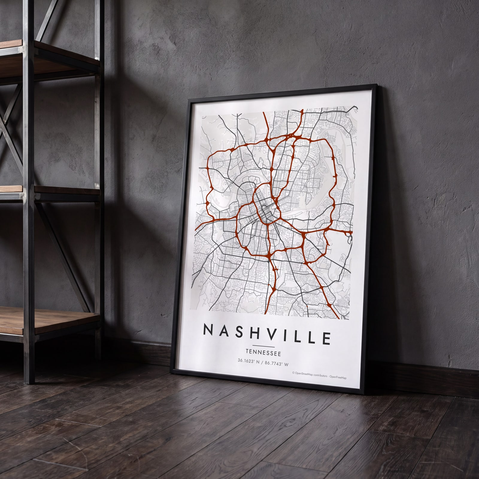
On the wall
A few of them framed at home. Open any one to make it yours.
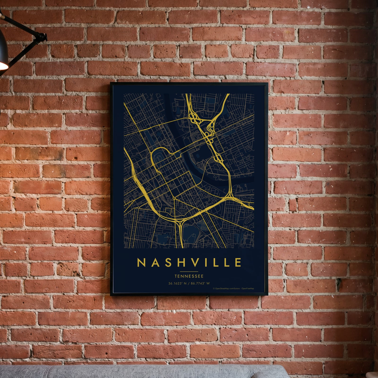 Midnight blue street map of central NashvilleEdit this →
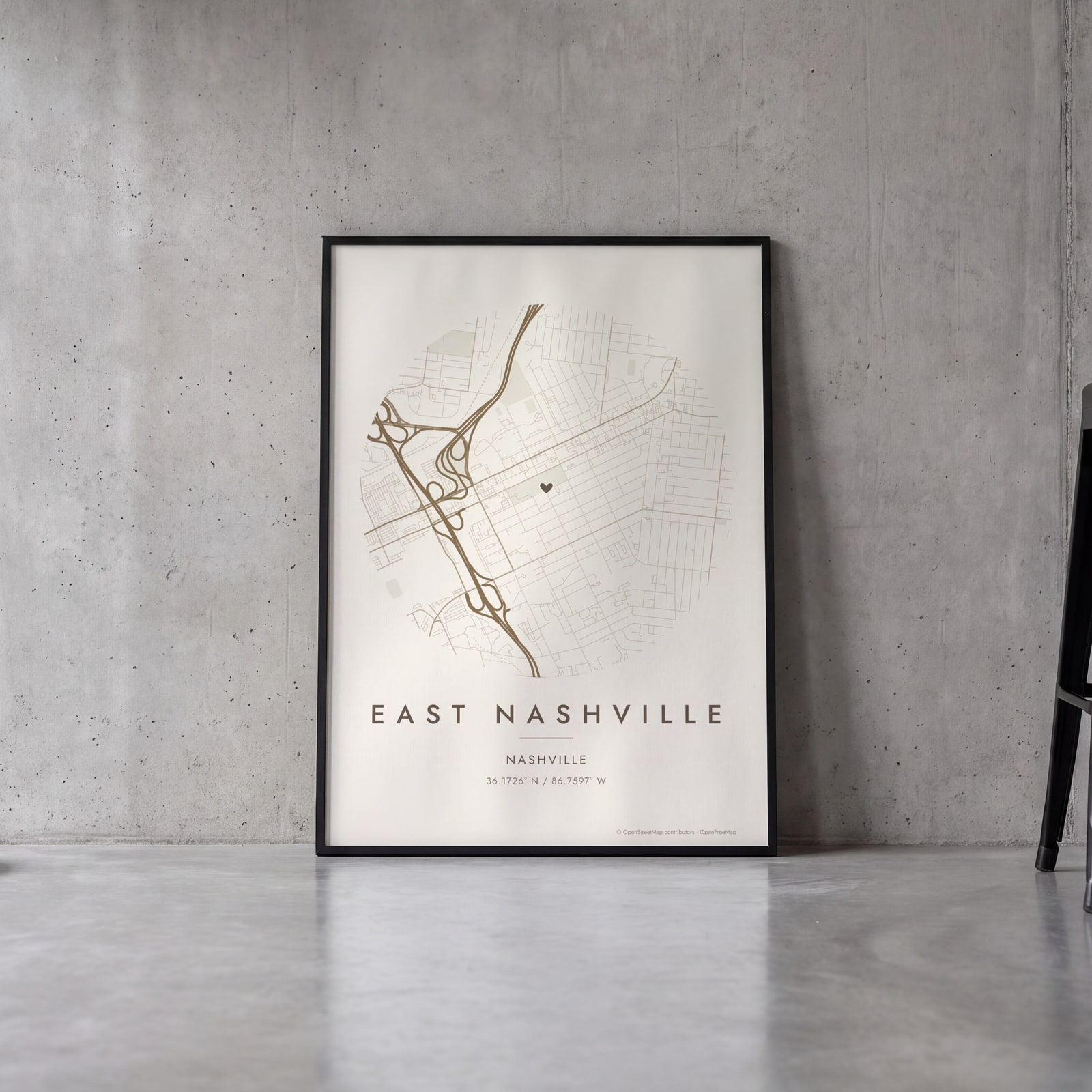 Round map of East Nashville, Nashville, with a heartEdit this →
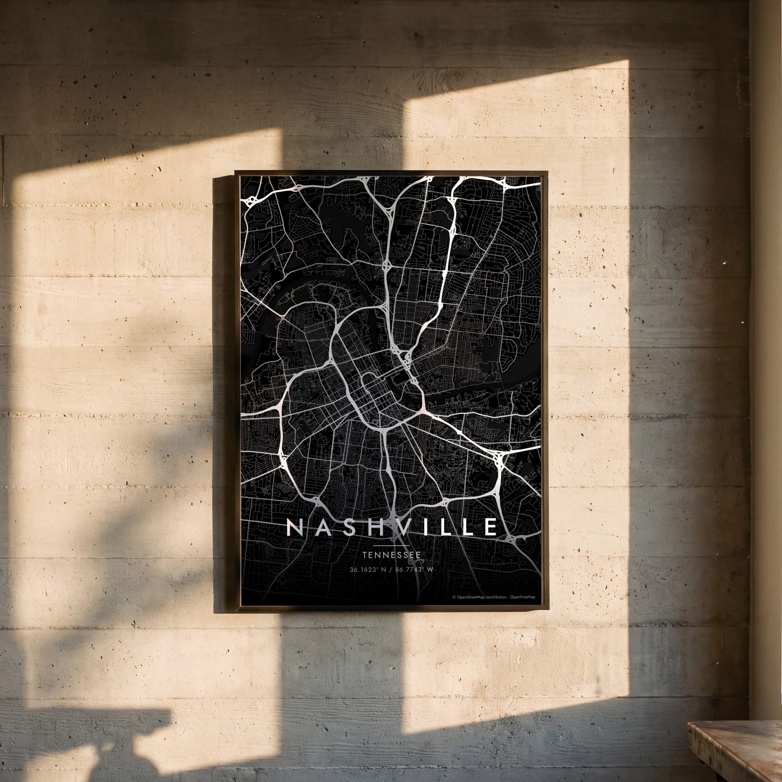 Nashville streets in white on black, edge to edgeEdit this →
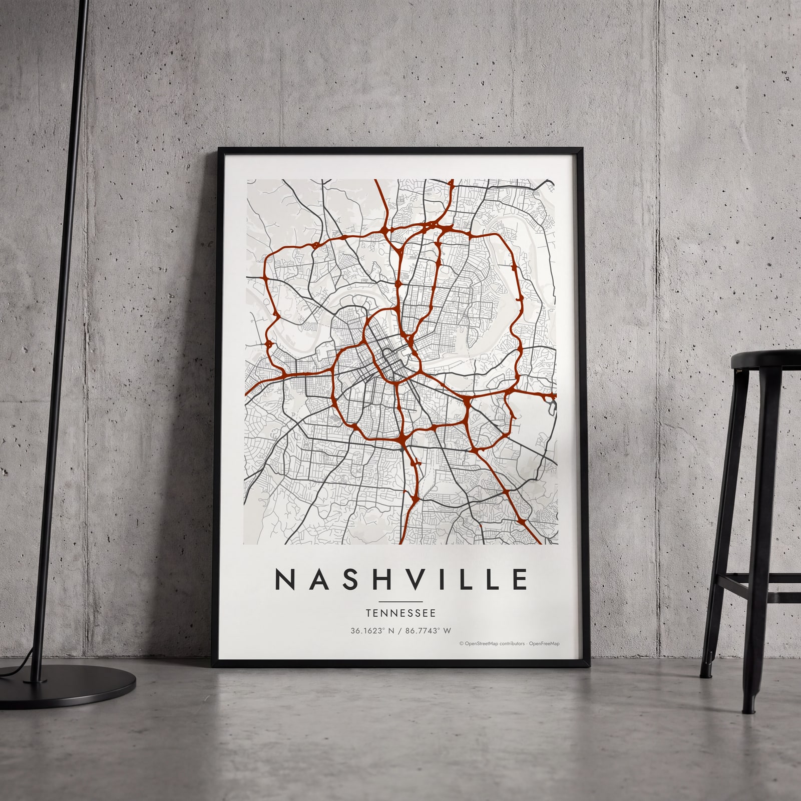 Nashville map poster: the whole city's streets, water and parksEdit this →
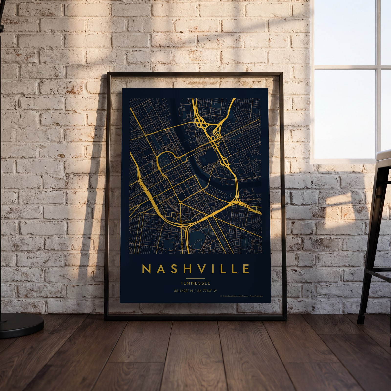 Midnight blue street map of central NashvilleEdit this →
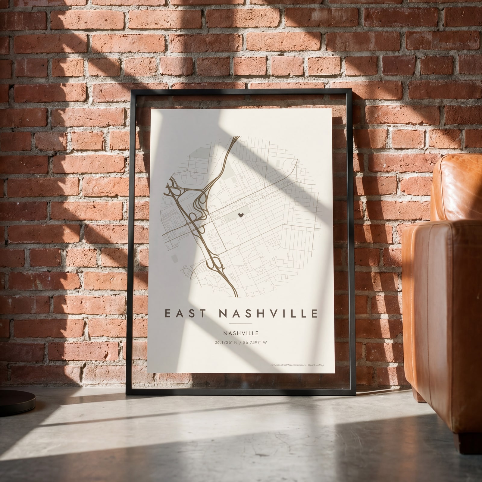 Round map of East Nashville, Nashville, with a heartEdit this →
Examples
Open any of them to change the words, the place, the date and the style, then download the print file.
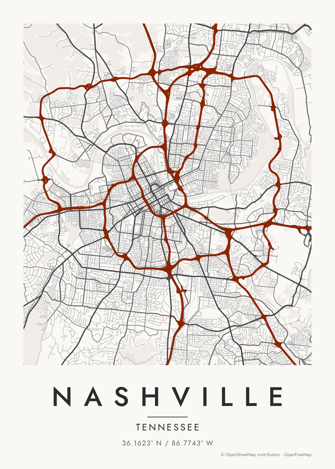 Nashville map poster: the whole city's streets, water and parksEdit this →More map art →
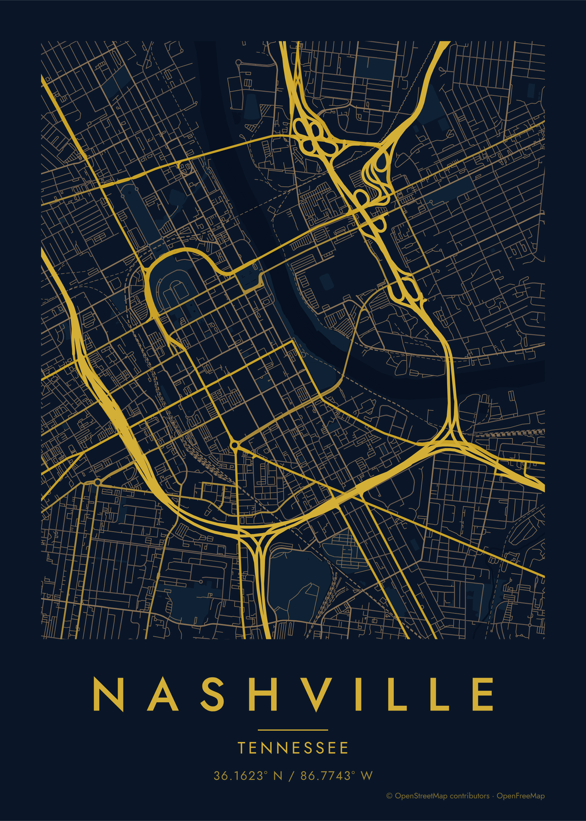 Midnight blue street map of central NashvilleEdit this →More map art →
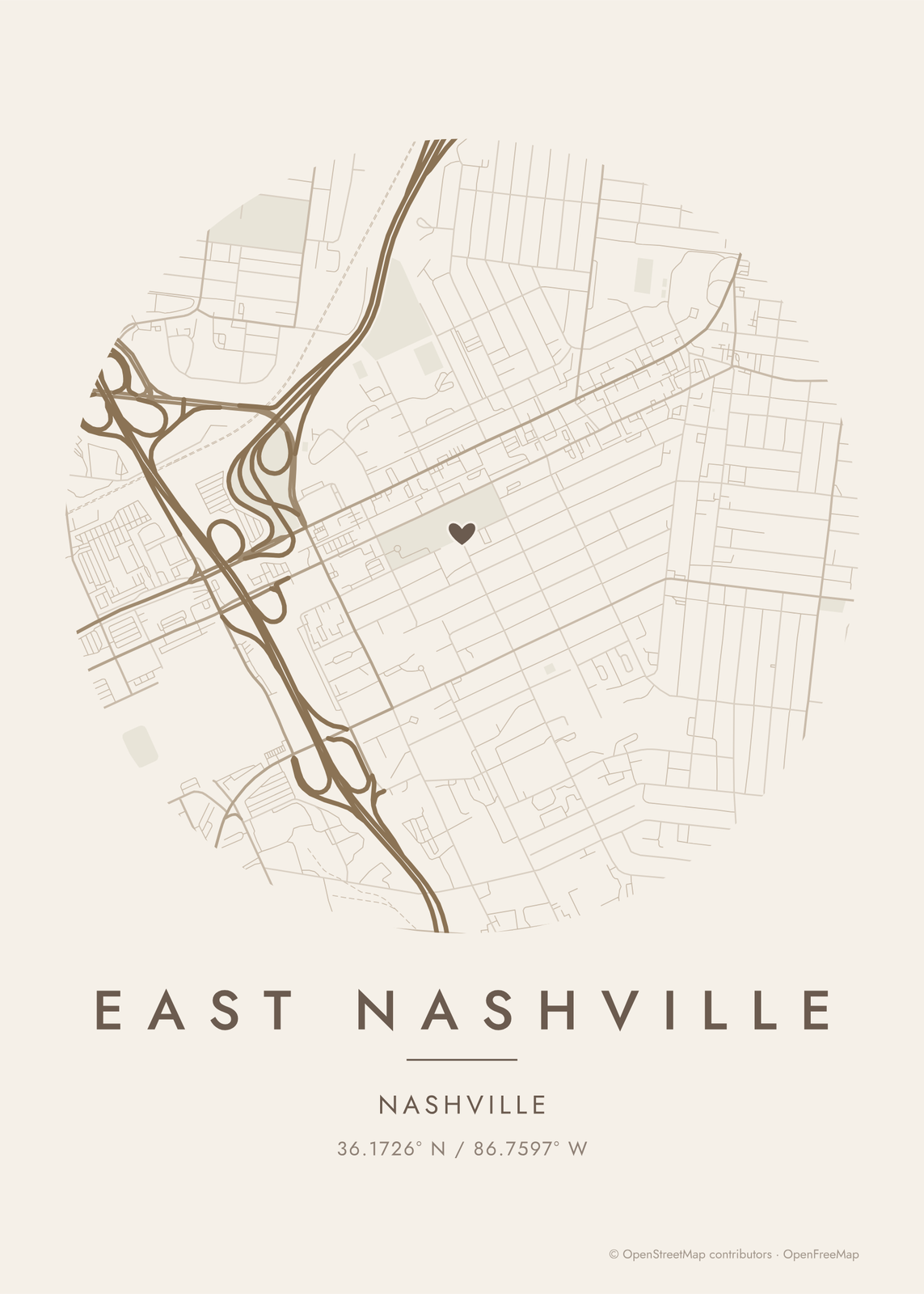 Round map of East Nashville, Nashville, with a heartEdit this →More map art →
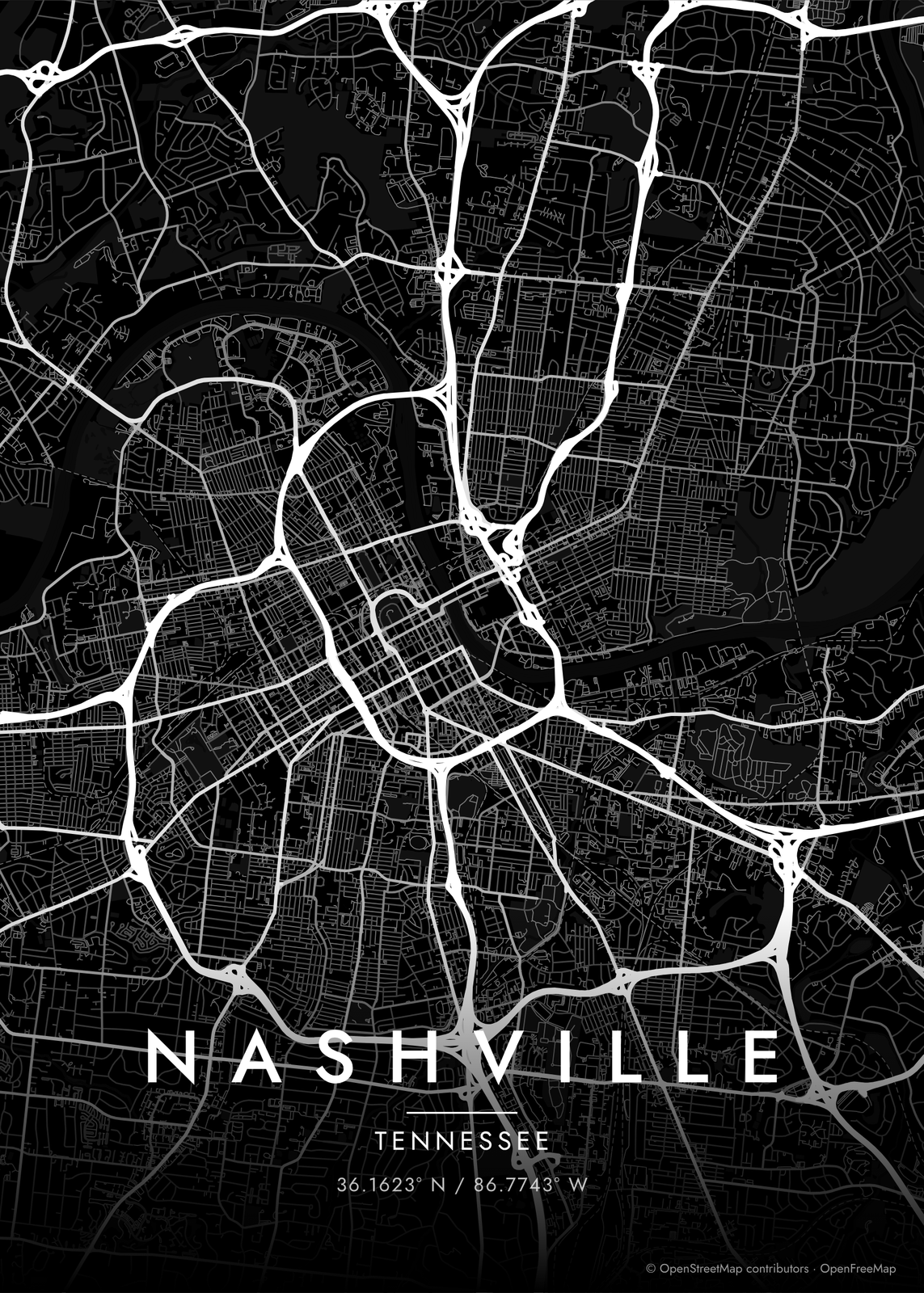 Nashville streets in white on black, edge to edgeEdit this →More map art →
How Nashville's streets are laid out
Nashville has a small grid downtown on the west bank of the Cumberland River, and then the old pikes take over. These roads leave the center in every direction, and most are named for the towns they head to: Franklin, Gallatin, Murfreesboro, Lebanon, Nolensville. On a wide map they look like spokes, with neighborhoods filling the space between.
The river gives the map its shape. The Cumberland winds through in deep bends, past downtown and East Nashville and around the loop that holds Opryland. Interstates close in a tight ring around downtown, and I-440 curves across the south side. Farther out to the east, Percy Priest Lake spreads in long, branching arms.
Places to frame
- East Nashville: Five Points and the streets across the river from downtown.
- Germantown: old streets just north of downtown, by the Bicentennial Mall.
- The Gulch: the old rail yard just south of downtown.
- 12 South: the strip of shops along 12th Avenue South.
- Hillsboro Village: the streets between Vanderbilt and Belmont.
- Music Row: 16th and 17th Avenues South and the streets around them.
- Sylvan Park: west side streets, many named for states.
Other ways to draw Nashville
Road map art draws every road of Nashville in a single color, as a dense line portrait of the whole city.
How to make your Nashville map
- Open the Nashville map, or search any street, neighborhood or address.
- Drag to center it and zoom to set how much it shows, from a few blocks to the whole city.
- Pick colors and a shape: framed, edge to edge or a circle; add a heart, a pin or a dot at the center.
- Write a title and a line under it, or keep the city's name, then download the print file.
Questions
Which part of Nashville should I put on the map?
For a map that reads as Nashville, center it downtown so the river curves through. For something personal, zoom into East Nashville, 12 South or the street where you got engaged. You set how much it shows.
Does the map show the Cumberland River and the lakes?
Yes. Water is a layer, on by default, so the Cumberland draws in with all its bends. Move the map east and Percy Priest Lake comes into view.
Can I mark the spot?
Yes. Search a street or address, center the map on it and add a heart, a pin or a dot. A title and a line under it, like a date, finish it.
Where does the map data come from?
From OpenStreetMap, the open map built by volunteers. Its credit line prints small in the corner of every map.
What sizes can I print?
US Letter, 8 × 10, 11 × 14, 12 × 16 and 12 × 18 in, A4 and A3, free. You download a 300 DPI JPEG drawn at the size you pick. Larger prints, up to 24 × 36 in, are coming soon.
Related
Gift ideas by occasion




Every example is made with the Posterage generators. Change anything, then download it as a 300 DPI JPEG.