New Orleans map poster the Crescent City's streets, as art
Draw New Orleans as clean line art: the French Quarter's grid, the streets fanning out along the Mississippi's bend, and the lake to the north. Center it on the Marigny, Uptown or your own block, pick one of 18 color styles, and add a heart or a pin. City Roads draws every road in one color, for a denser look.
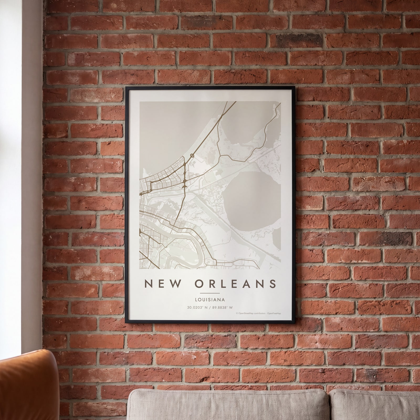
On the wall
A few of them framed at home. Open any one to make it yours.
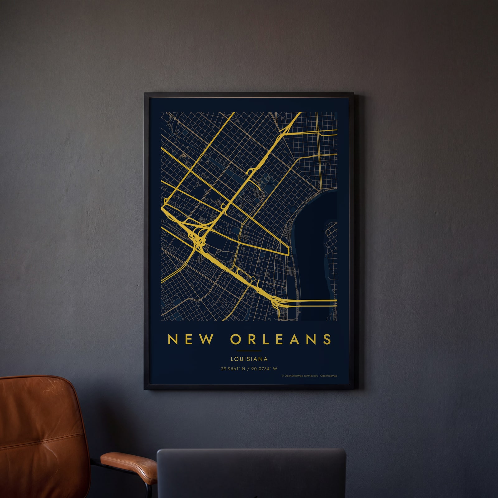 Midnight blue street map of central New OrleansEdit this →
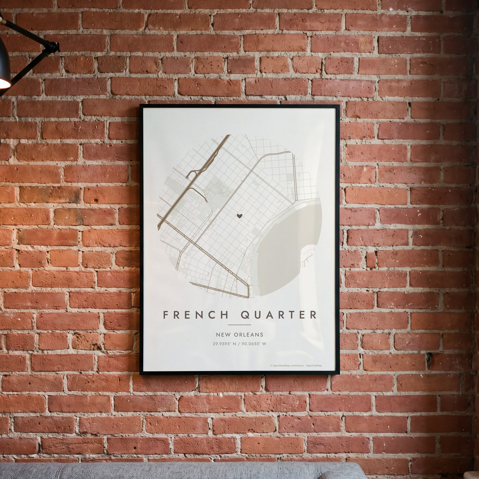 Round map of French Quarter, New Orleans, with a heartEdit this →
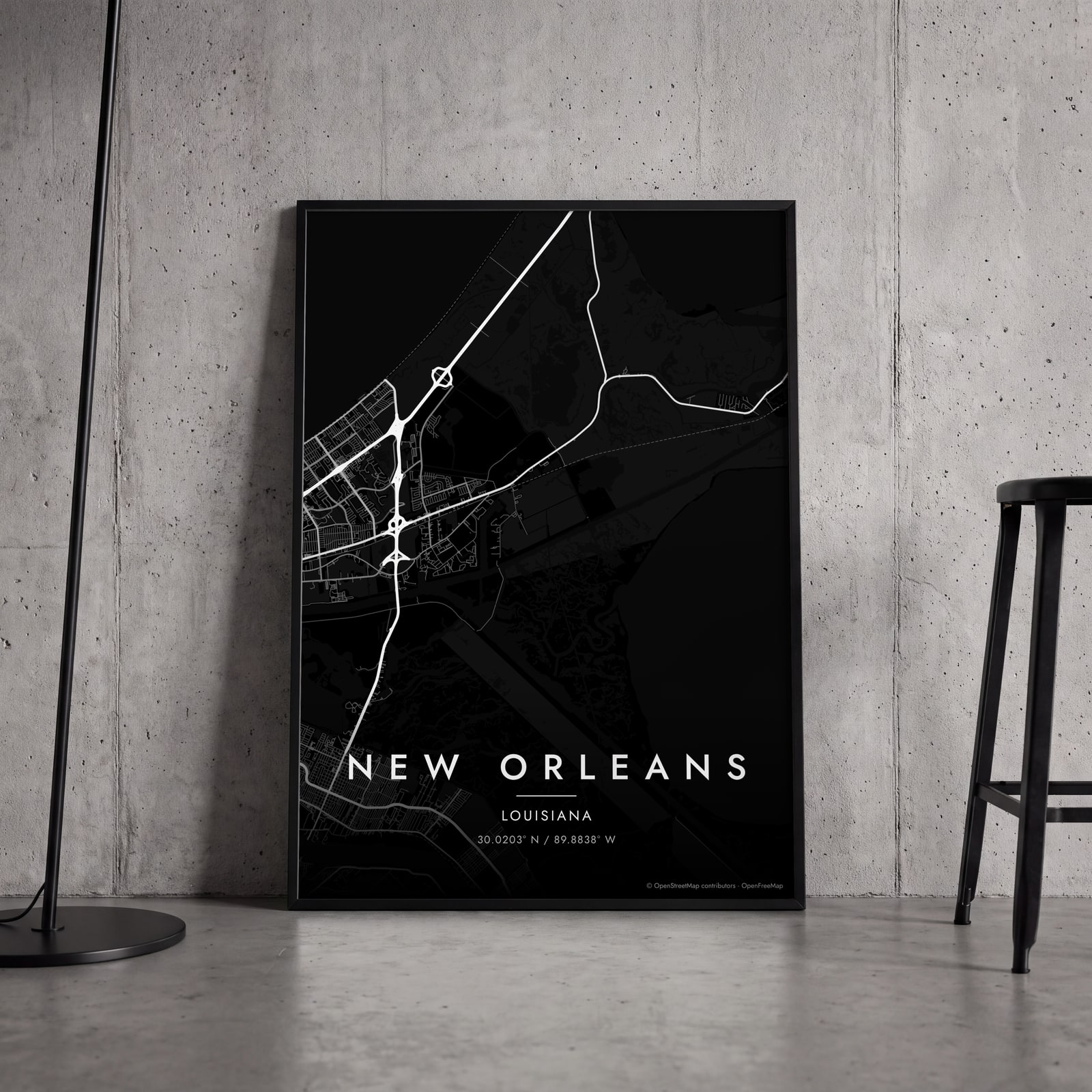 New Orleans streets in white on black, edge to edgeEdit this →
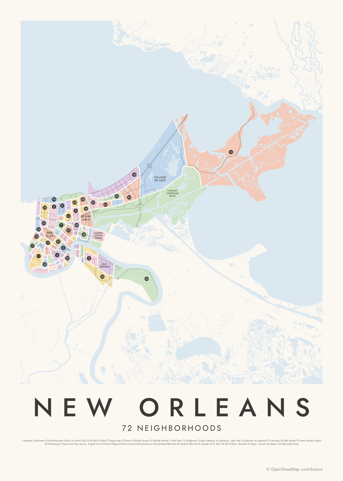
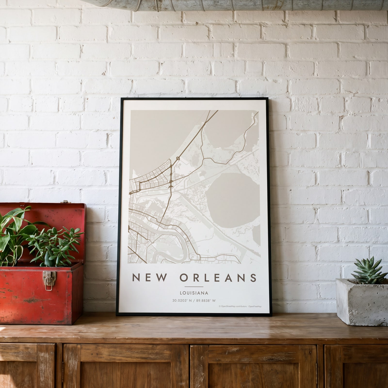 New Orleans map poster: the whole city's streets, water and parksEdit this →
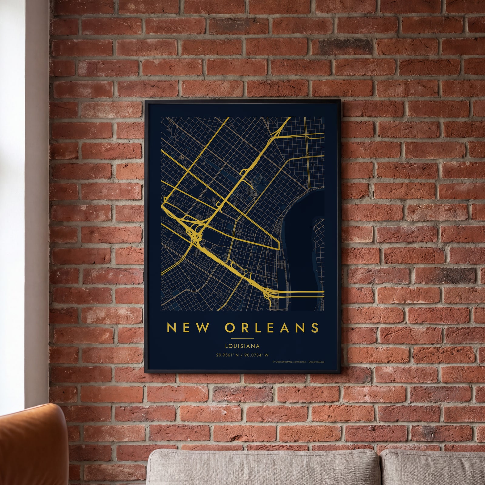 Midnight blue street map of central New OrleansEdit this →
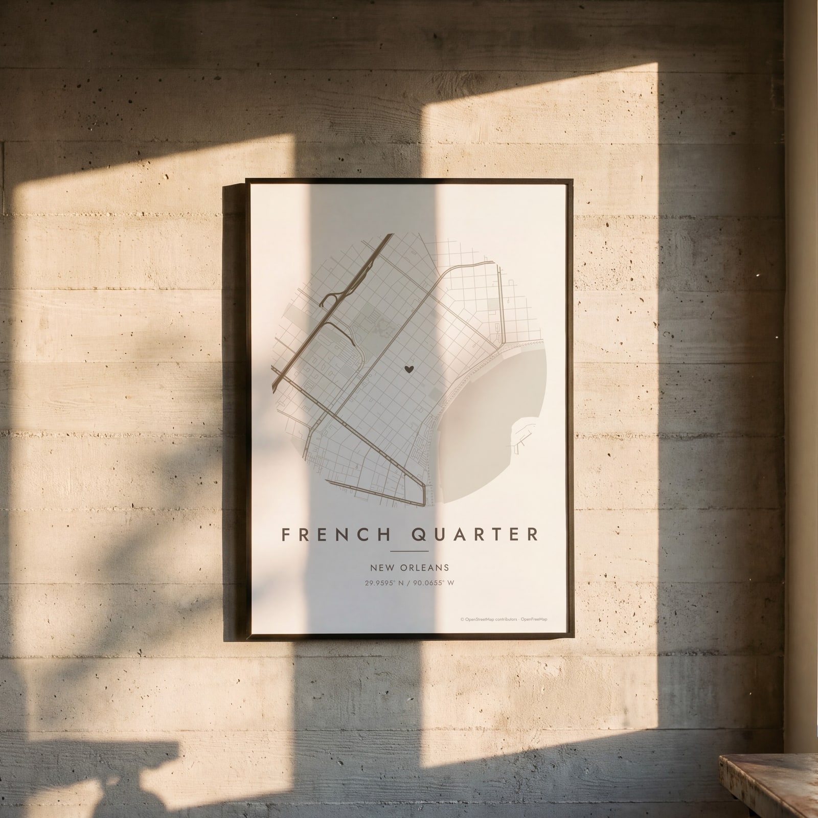 Round map of French Quarter, New Orleans, with a heartEdit this →
Examples
Open any of them to change the words, the place, the date and the style, then download the print file.
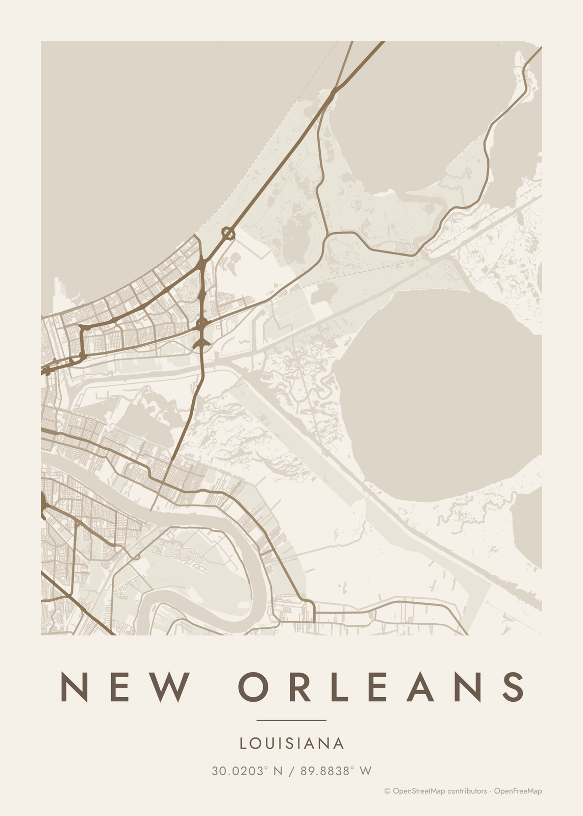 New Orleans map poster: the whole city's streets, water and parksEdit this →More map art →
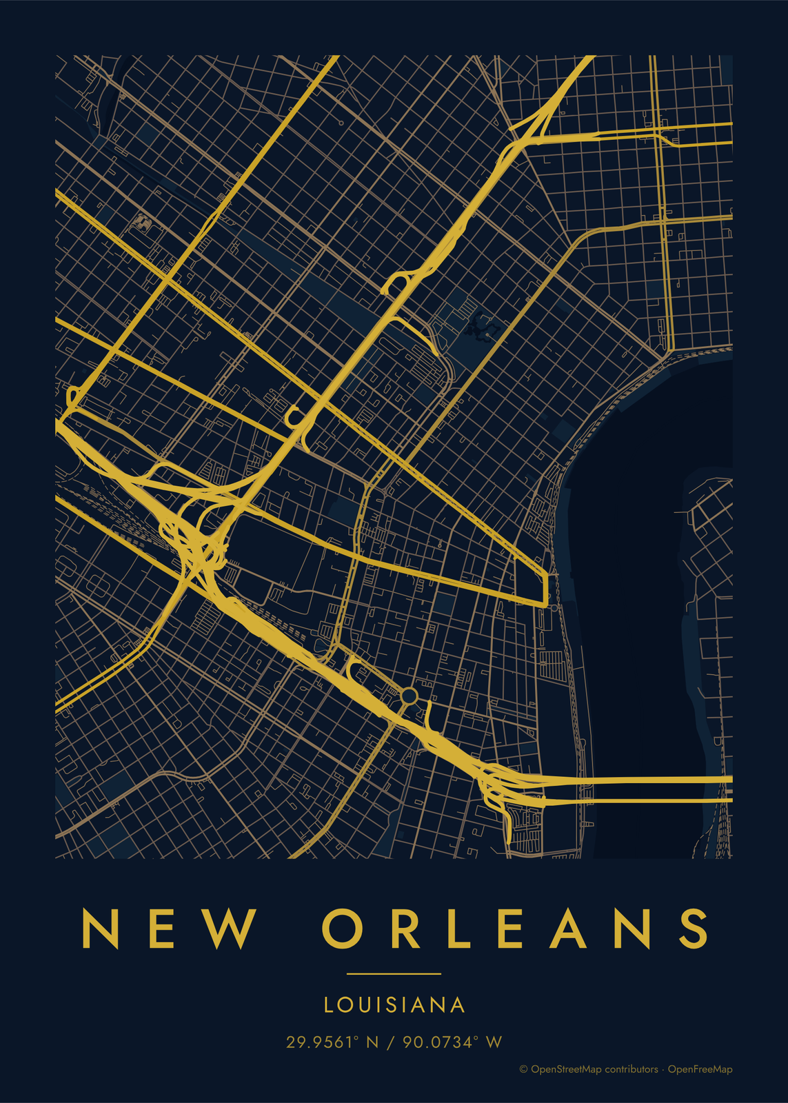 Midnight blue street map of central New OrleansEdit this →More map art →
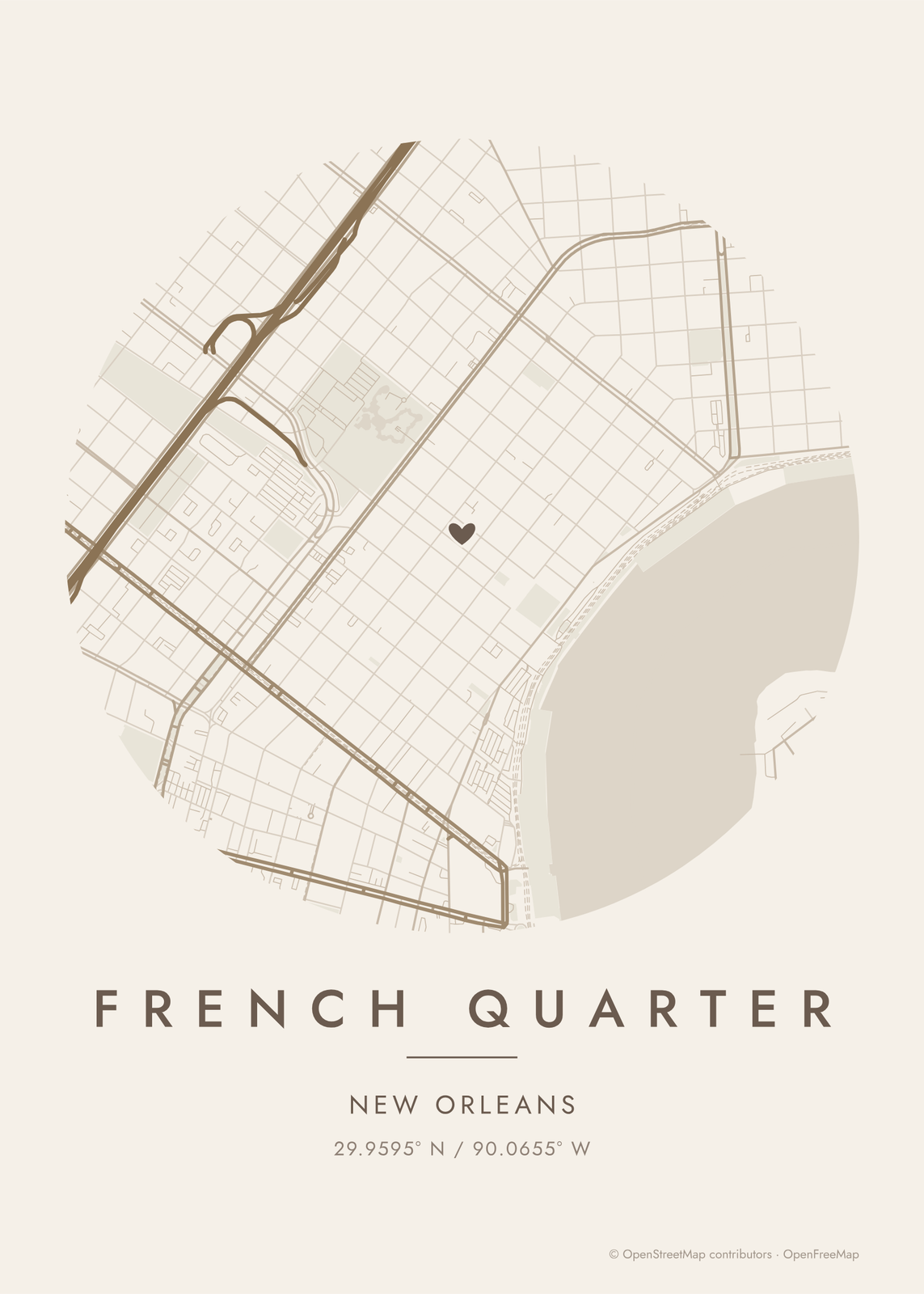 Round map of French Quarter, New Orleans, with a heartEdit this →More map art →
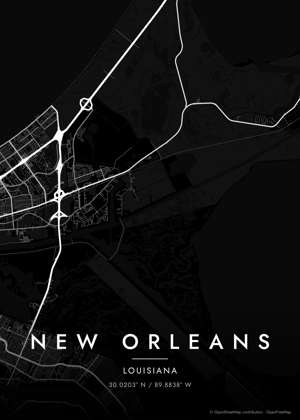 New Orleans streets in white on black, edge to edgeEdit this →More map art →
How the streets of New Orleans are laid out
New Orleans grew along a tight bend of the Mississippi, which gives it the name Crescent City. The French Quarter was laid out as a neat grid in 1721, facing the river. As the city spread up and down the bank, it was built over old plantations, long narrow lots that ran back from the river, and the streets followed their lines. So the grid bends with the river, and Uptown's streets fan out like spokes.
Because the river curves, locals skip north and south and say uptown, downtown, riverside and lakeside. Canal Street splits the old city, and several streets change names when they cross it: Bourbon becomes Carondelet, and Royal becomes St. Charles. Lake Pontchartrain sets the northern edge, and City Park, larger than Central Park, runs along Bayou St. John.
Places to frame
- French Quarter: the 1721 grid between Canal Street, Esplanade Avenue and the river.
- Faubourg Marigny: just downriver across Esplanade, around Frenchmen Street.
- Bywater: farther downriver, along the river out to the Industrial Canal.
- Tremé: just lakeside of the Quarter, around Louis Armstrong Park.
- Garden District: big old houses between St. Charles Avenue and Magazine Street.
- Uptown: St. Charles Avenue, the universities and Audubon Park.
- Mid-City: along Canal Street out toward City Park and Bayou St. John.
Other ways to draw New Orleans
Road map art draws every road of New Orleans in a single color, as a dense line portrait of the whole city.
The New Orleans neighborhood map names every part of the city: all 72 neighborhoods, each in its own color, with yours highlighted if you like.
How to make your New Orleans map
- Open the New Orleans map, or search any street, neighborhood or address.
- Drag to center it and zoom to set how much it shows, from a few blocks to the whole city.
- Pick colors and a shape: framed, edge to edge or a circle; add a heart, a pin or a dot at the center.
- Write a title and a line under it, or keep the city's name, then download the print file.
Questions
Which part of New Orleans should I put on the map?
The river's bend makes the classic map, with the French Quarter, the Marigny and Uptown curving along it. For something personal, zoom in on one neighborhood, or on the block where you lived or stayed.
Does the map show the Mississippi and the lake?
Yes. Water is its own layer, so the river, the canals, the bayou and Lake Pontchartrain print in the style's water color. Zoom out past the Quarter and the crescent comes through clearly.
Can I mark the place where we got married?
Yes. Drag the map so the spot is at the center and add a heart, a pin or a dot. The map doesn't print street names, so put the place or the date in the subtitle.
Where does the map data come from?
From OpenStreetMap, the open map built by volunteers. Its credit line prints small in the corner of every map.
What sizes can I print?
US Letter, 8 × 10, 11 × 14, 12 × 16 and 12 × 18 in, A4 and A3, free. You download a 300 DPI JPEG drawn at the size you pick. Larger prints, up to 24 × 36 in, are coming soon.
Related
Gift ideas by occasion




Every example is made with the Posterage generators. Change anything, then download it as a 300 DPI JPEG.