Tokyo map poster a fine web of streets around the palace
Draw Tokyo as clean line art: thousands of small streets, the green of the Imperial Palace and the bay to the south. Center it on Shibuya, Asakusa or the block where you lived, then print it from A4 to 24 × 36 in.
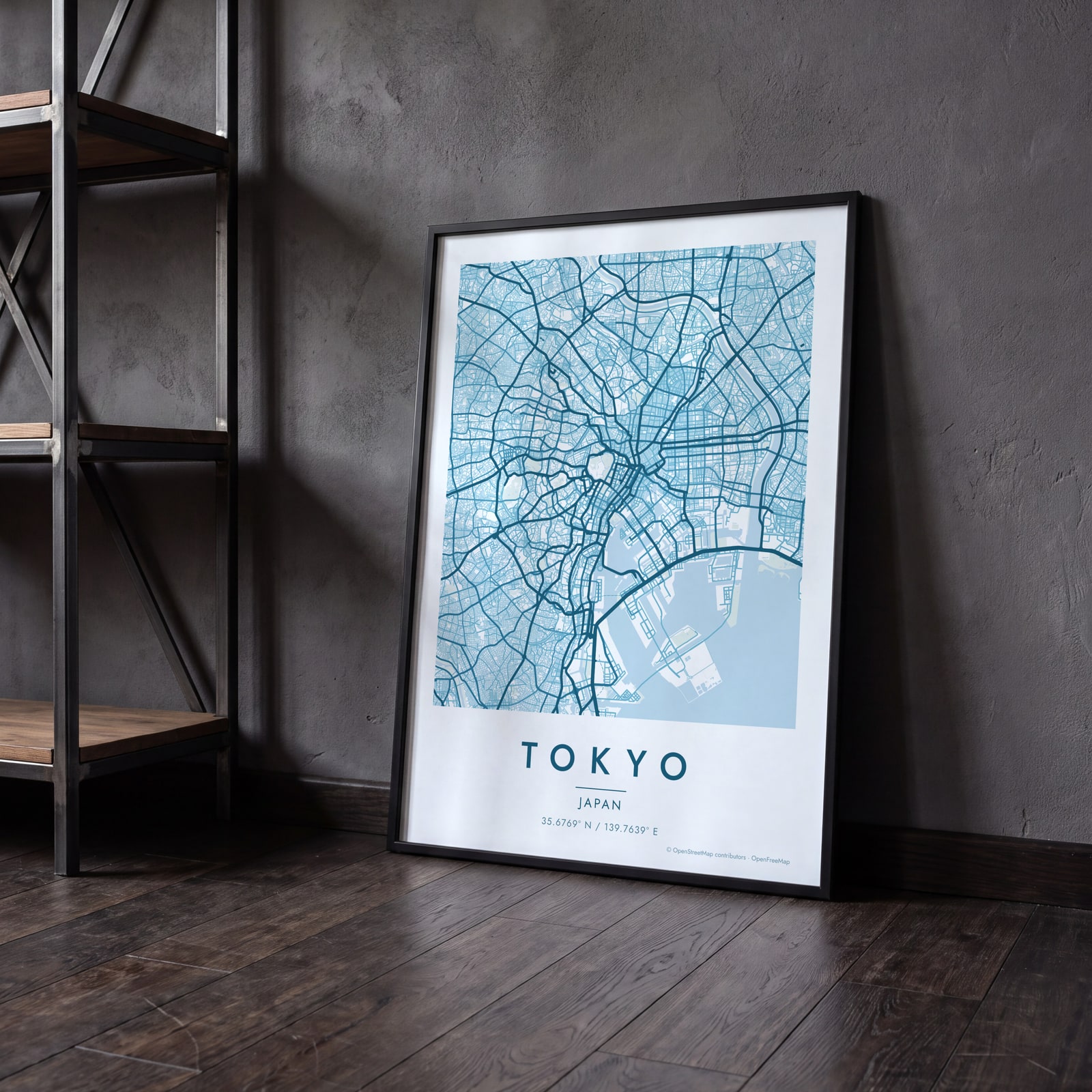
On the wall
A few of them framed at home. Open any one to make it yours.
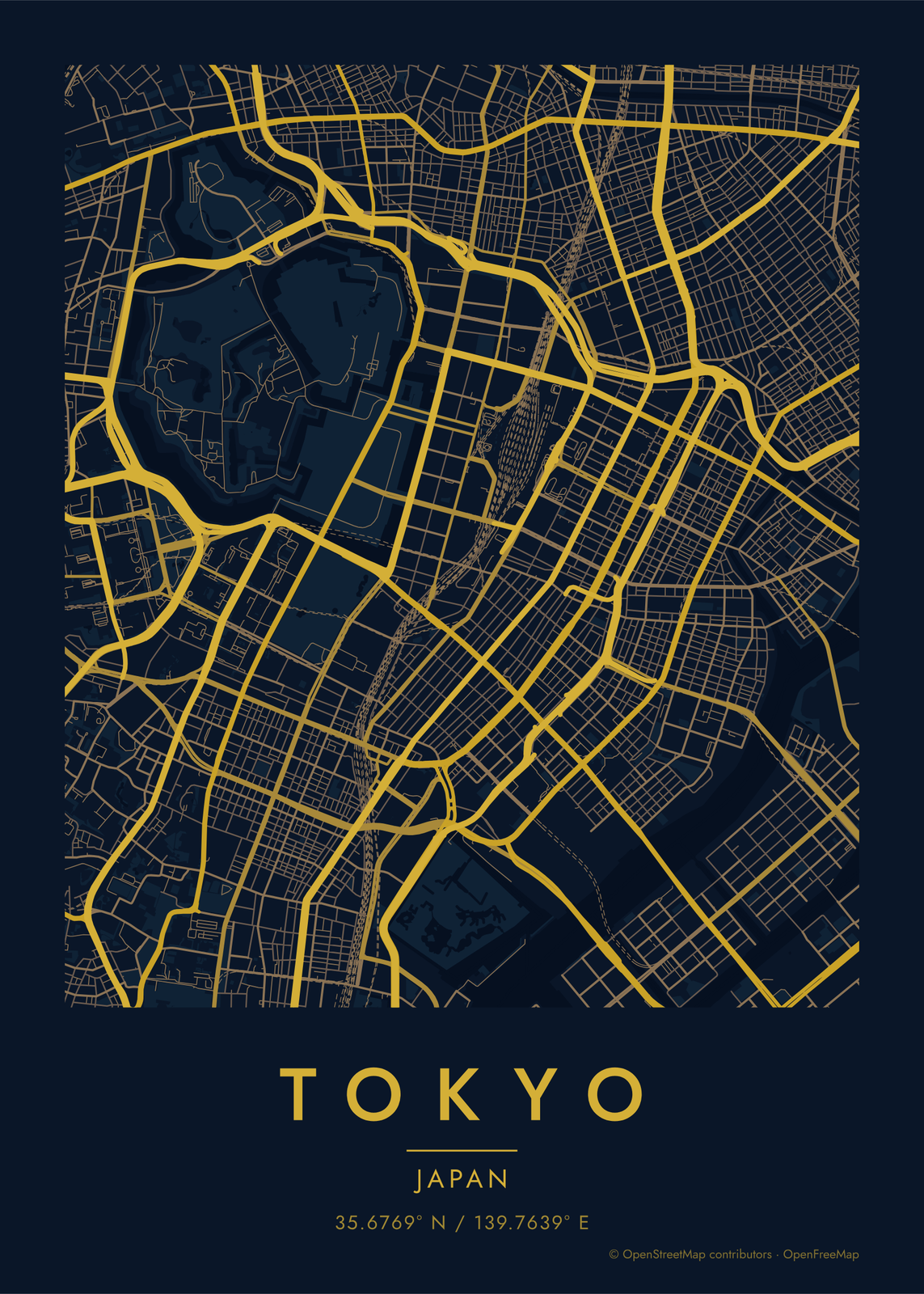
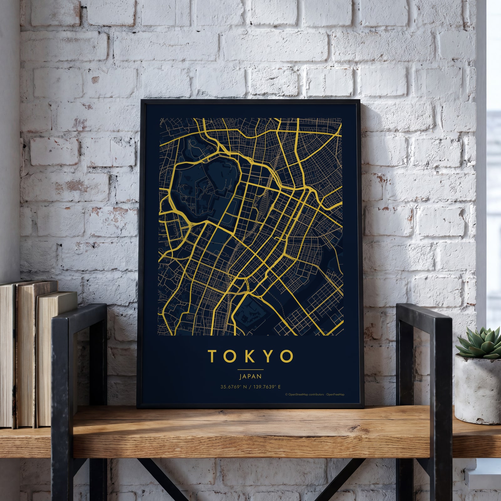 Midnight blue street map of central TokyoEdit this →
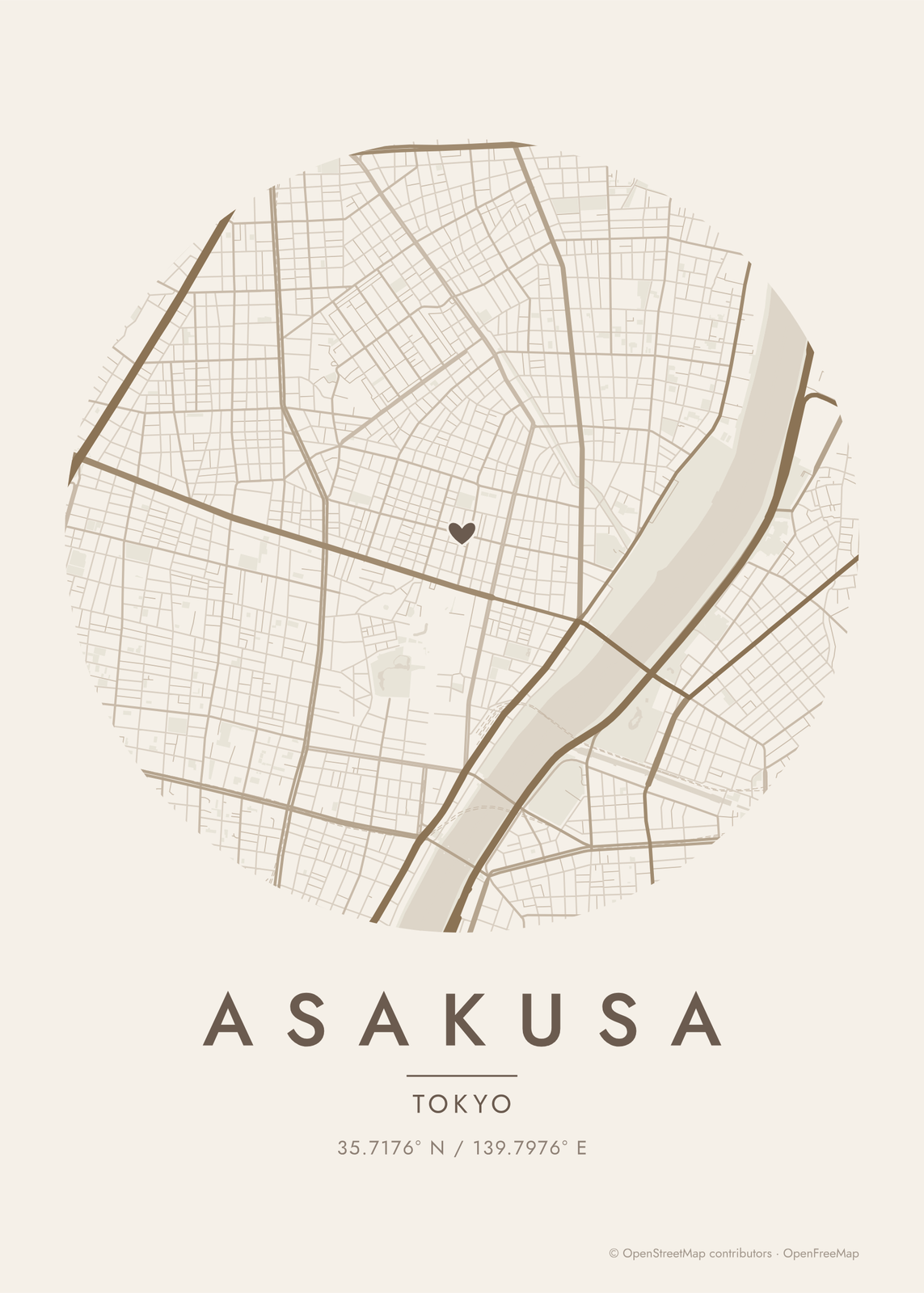
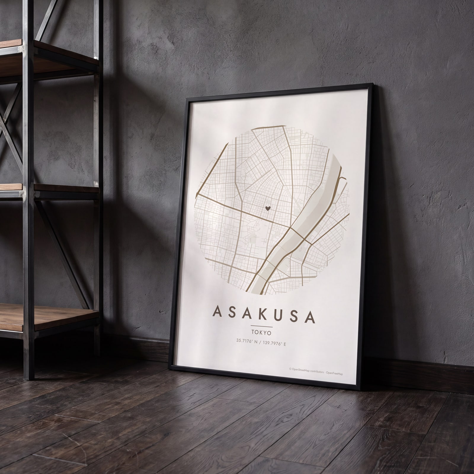 Round map of Asakusa, Tokyo, with a heartEdit this →
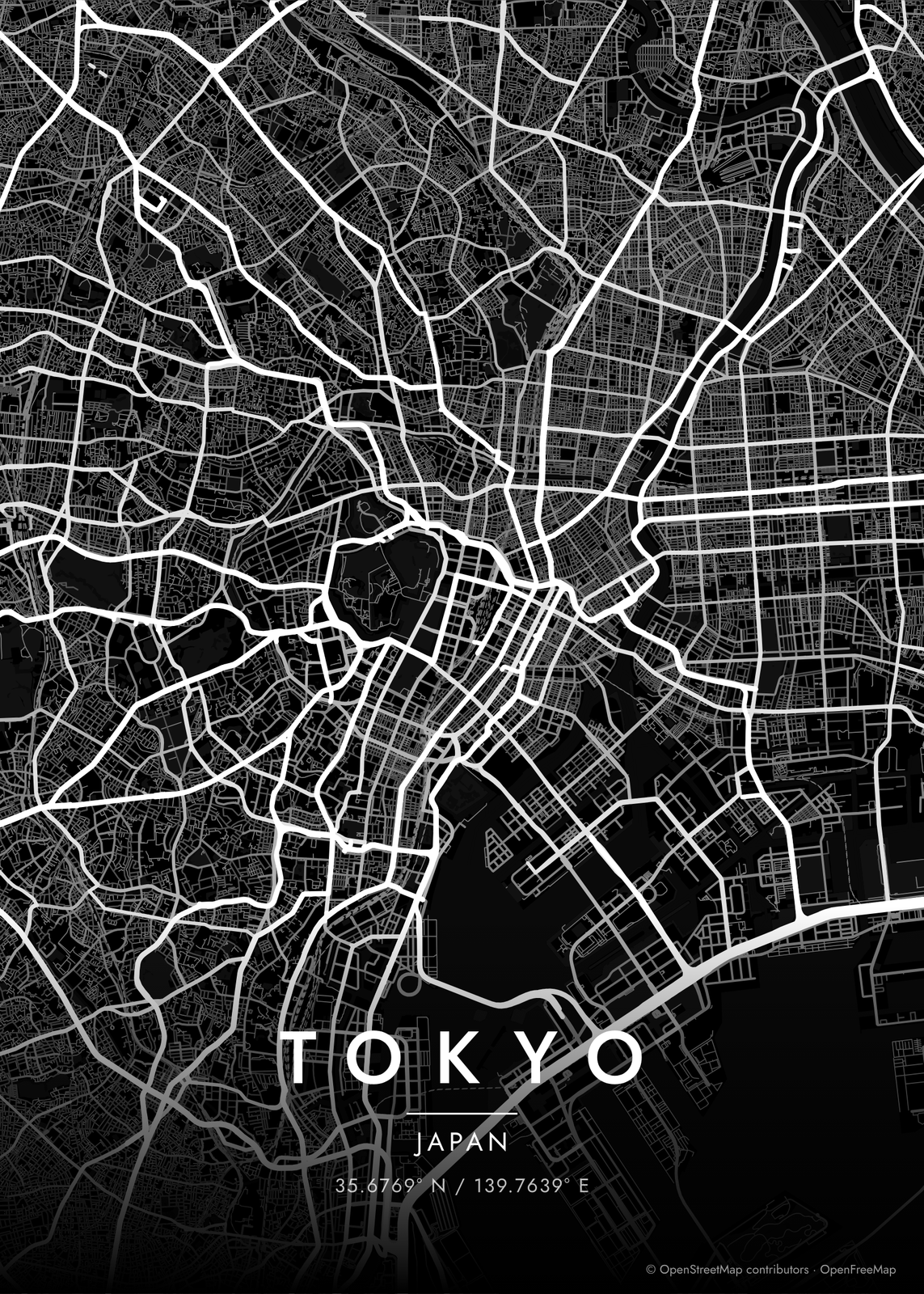
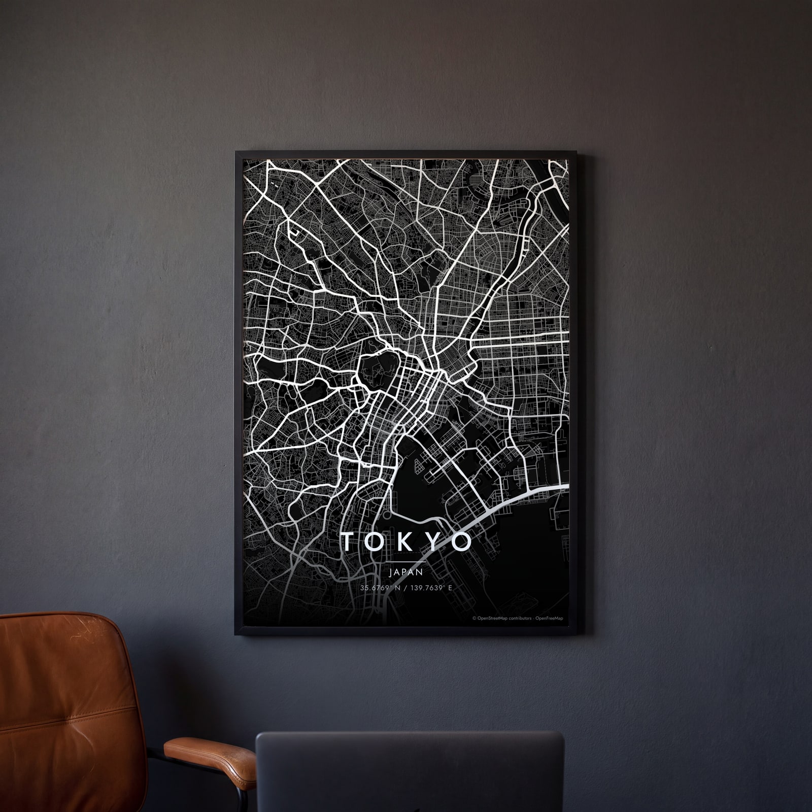 Tokyo streets in white on black, edge to edgeEdit this →
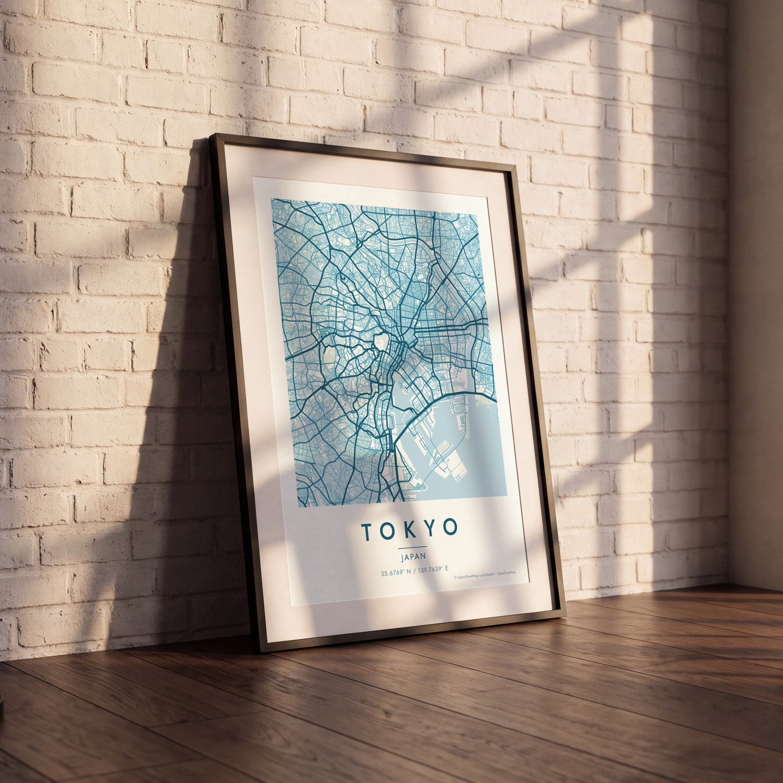 Tokyo map poster: the whole city's streets, water and parksEdit this →
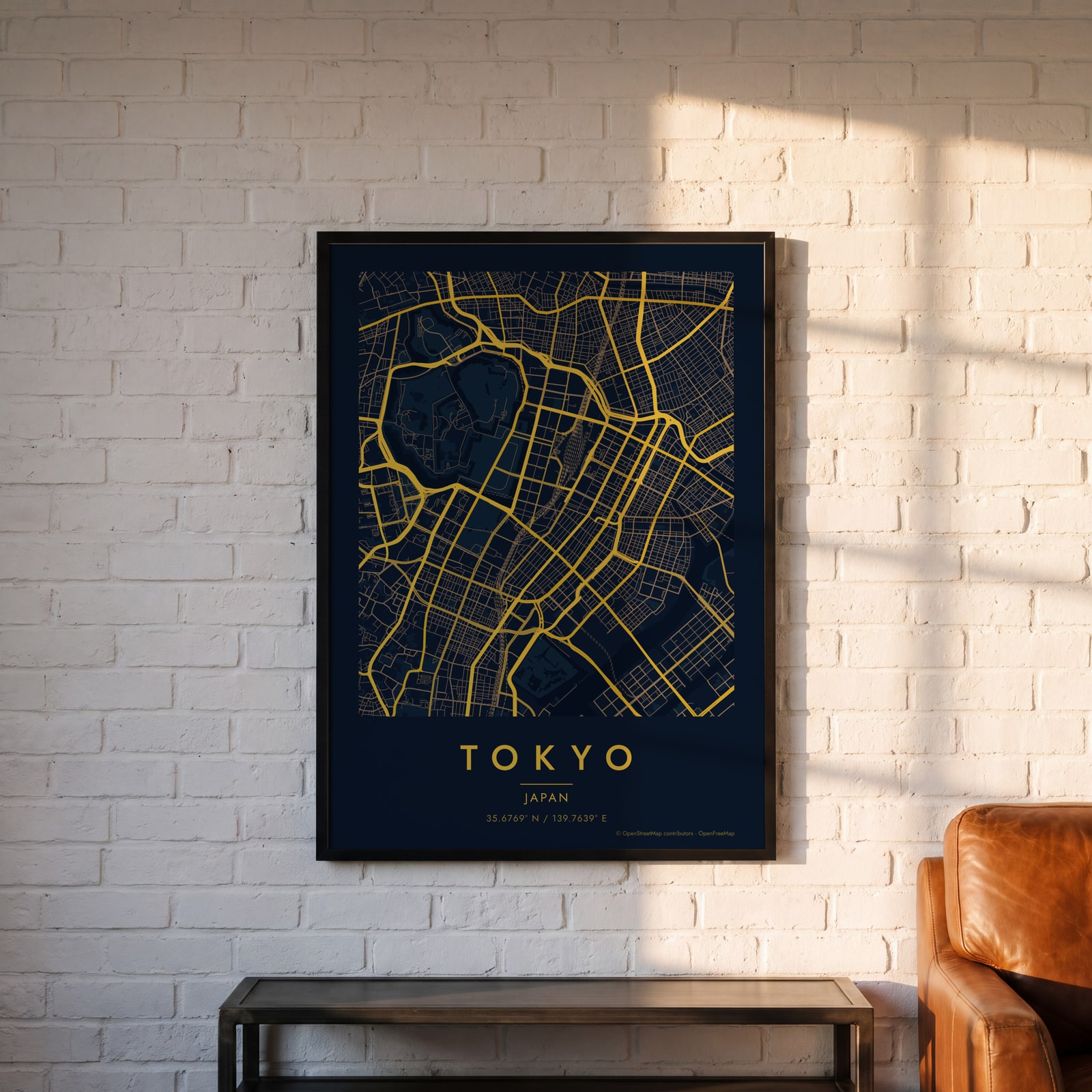 Midnight blue street map of central TokyoEdit this →
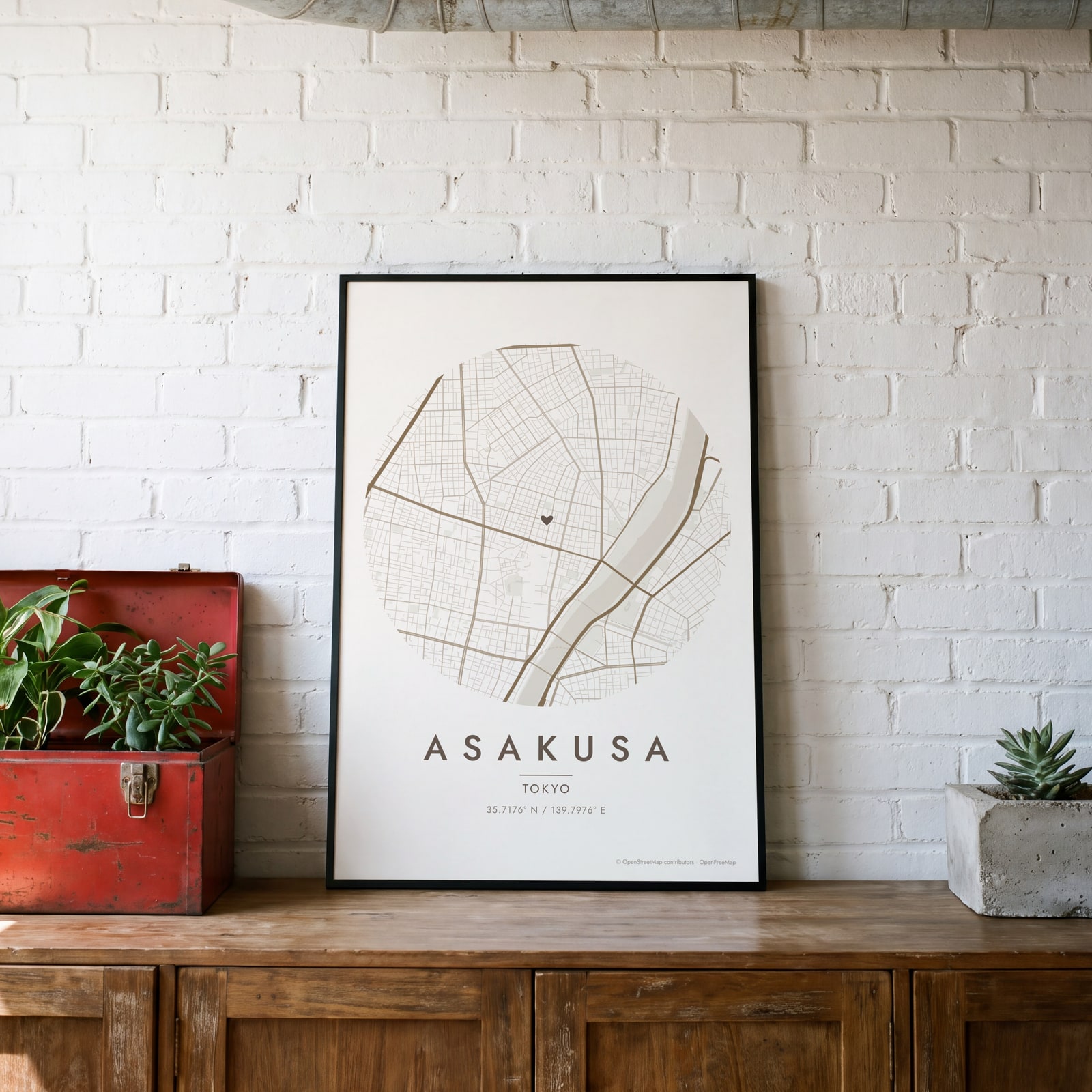 Round map of Asakusa, Tokyo, with a heartEdit this →
Examples
Open any of them to change the words, the place, the date and the style, then download the print file.
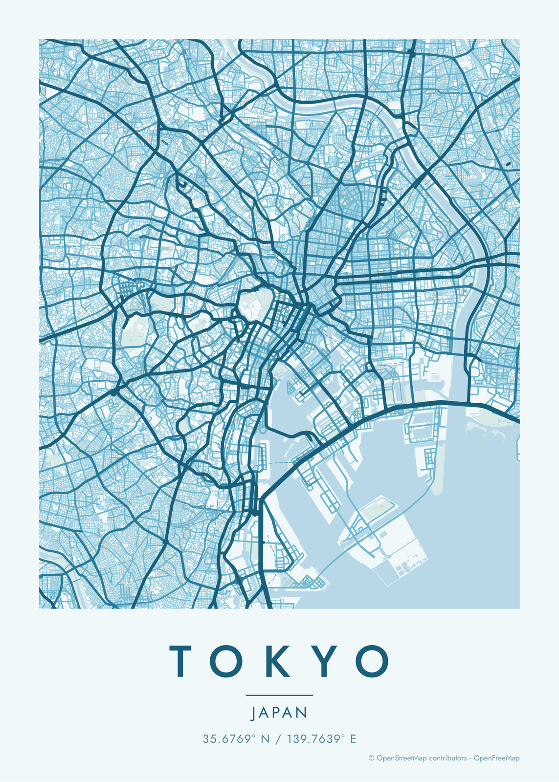
How Tokyo's streets are laid out
Outside a few gridded districts like Ginza, Tokyo has no grid. The city grew around Edo Castle, now the Imperial Palace, whose moats and gardens make a big green patch in the middle. Most streets have no names, and addresses go by district and block instead, so the map is a fine, irregular mesh of lanes cut by wide avenues and elevated expressways.
Rail gives the city its structure. The Yamanote Line runs a loop around the center, through Tokyo, Ueno, Ikebukuro, Shinjuku and Shibuya stations, and the rail layer draws it in among the other lines. To the east, the Sumida River runs down to Tokyo Bay, where the waterfront is lined with flat, square-edged islands of reclaimed land like Odaiba. Yoyogi Park, Shinjuku Gyoen and Ueno Park show as green breaks.
Places to frame
- Shibuya: the station and the streets that climb away from it.
- Shimokitazawa: a maze of small lanes west of Shibuya.
- Nakameguro: the streets along the Meguro River.
- Koenji: tight lanes along the Chuo Line.
- Asakusa: the temple grounds by the Sumida River.
- Yanaka: old streets and temples near Ueno Park.
- Ginza: one of Tokyo's few street grids.
Other ways to draw Tokyo
Road map art draws every road of Tokyo in a single color, as a dense line portrait of the whole city.
How to make your Tokyo map
- Open the Tokyo map, or search any street, neighborhood or address.
- Drag to center it and zoom to set how much it shows, from a few blocks to the whole city.
- Pick colors and a shape: framed, edge to edge or a circle; add a heart, a pin or a dot at the center.
- Write a title and a line under it, or keep the city's name, then download the print file.
Questions
Which part of Tokyo should I put on the map?
Tokyo is huge, so pick a neighborhood or a station. A close map of Shimokitazawa or Yanaka shows every lane, and a wider one takes in the whole Yamanote loop.
Will the map have Japanese street names?
No. The map itself has no labels, only lines. The words on the poster are the title and subtitle you write.
Can I mark our home or the place we met?
Yes. Search a station or a neighborhood, drag the map to the exact block and add a heart, a pin or a dot. Write the date or the place in the subtitle.
Where does the map data come from?
From OpenStreetMap, the open map built by volunteers. Its credit line prints small in the corner of every map.
What sizes can I print?
US Letter, 8 × 10, 11 × 14, 12 × 16 and 12 × 18 in, A4 and A3, free. You download a 300 DPI JPEG drawn at the size you pick. Larger prints, up to 24 × 36 in, are coming soon.
Related
Gift ideas by occasion




Every example is made with the Posterage generators. Change anything, then download it as a 300 DPI JPEG.