Topographic map art a mountain, canyon or lake drawn from real elevation data
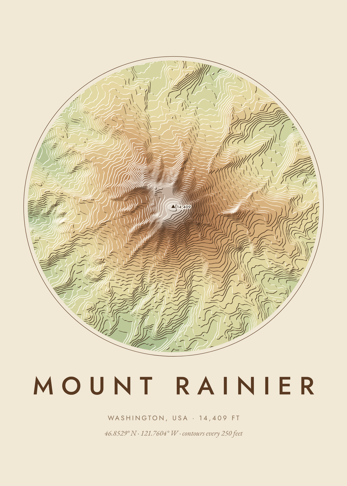
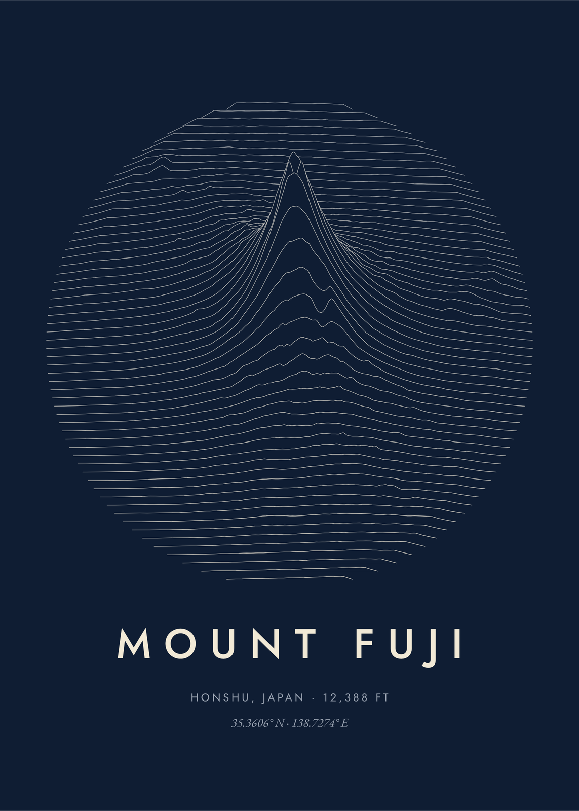
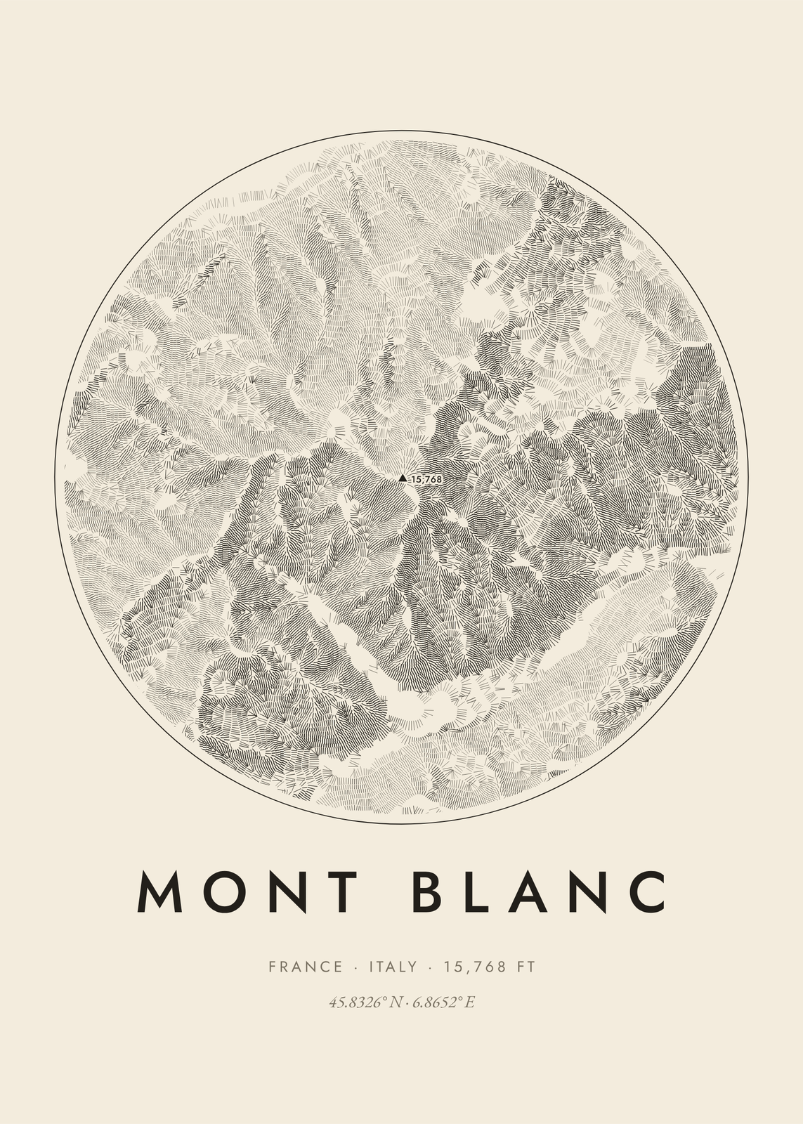
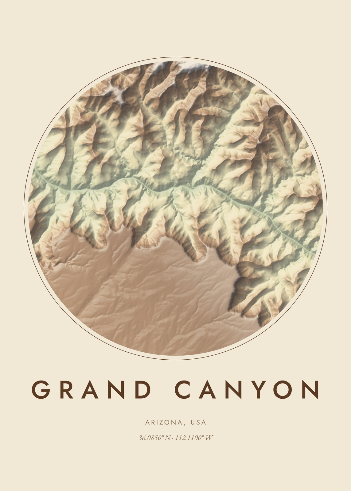
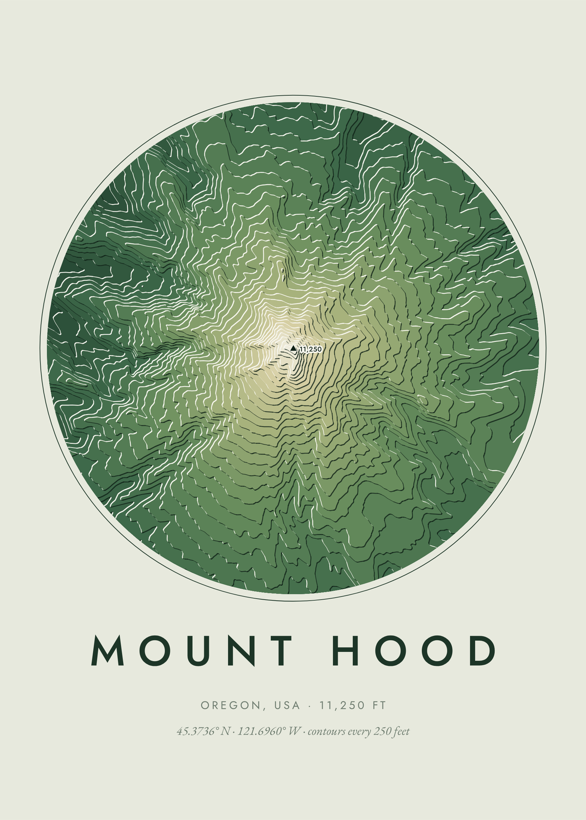
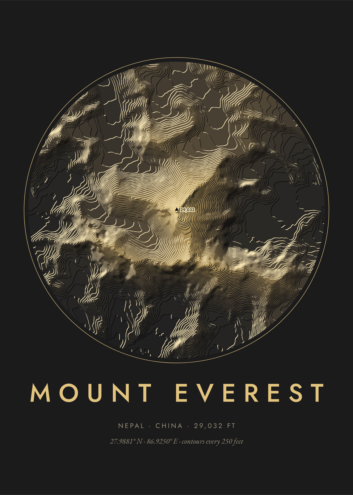
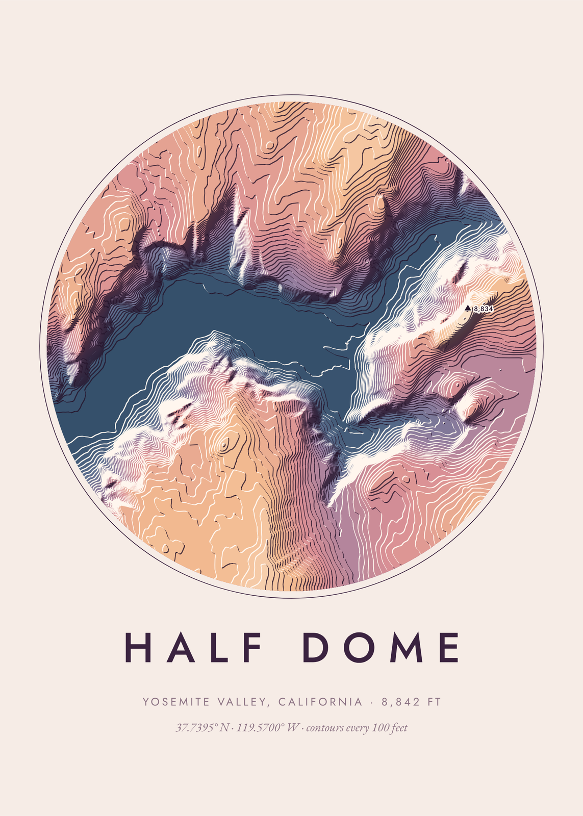
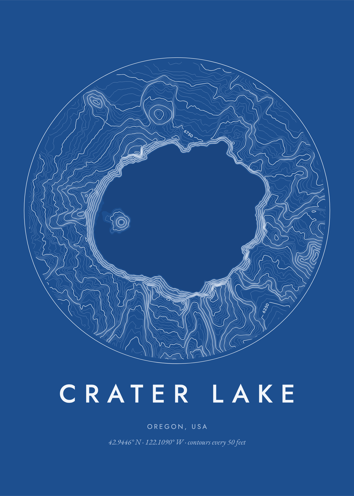
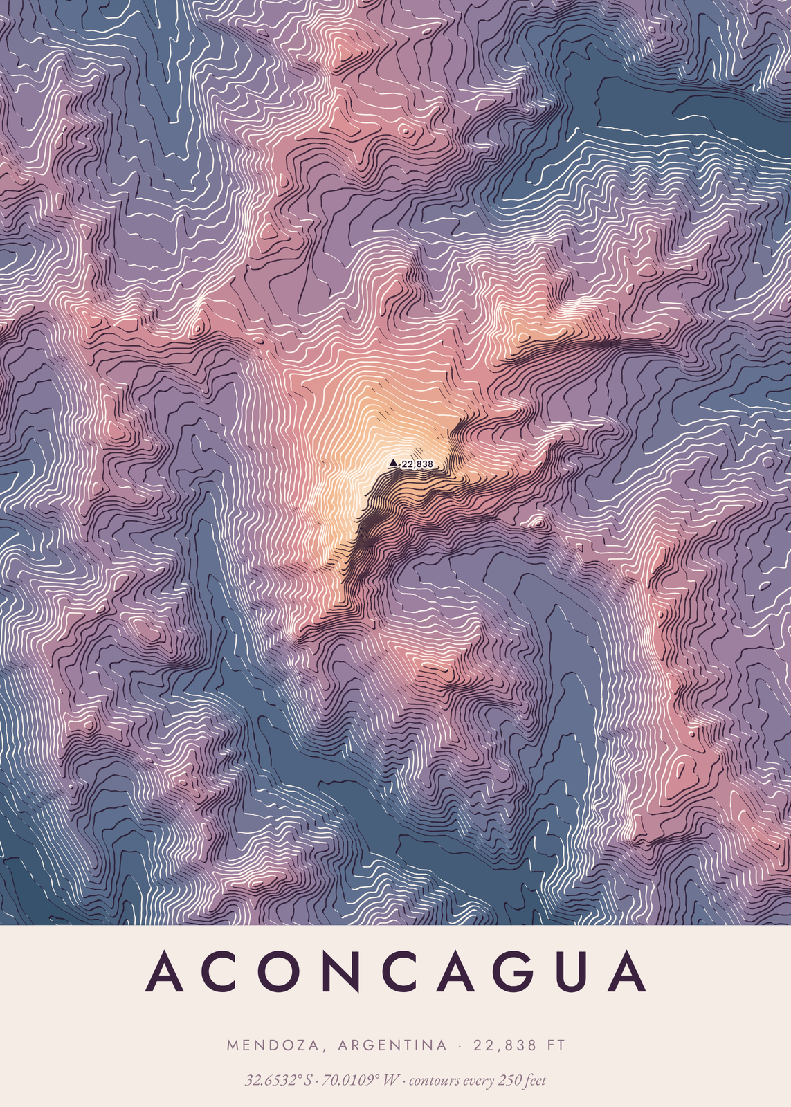
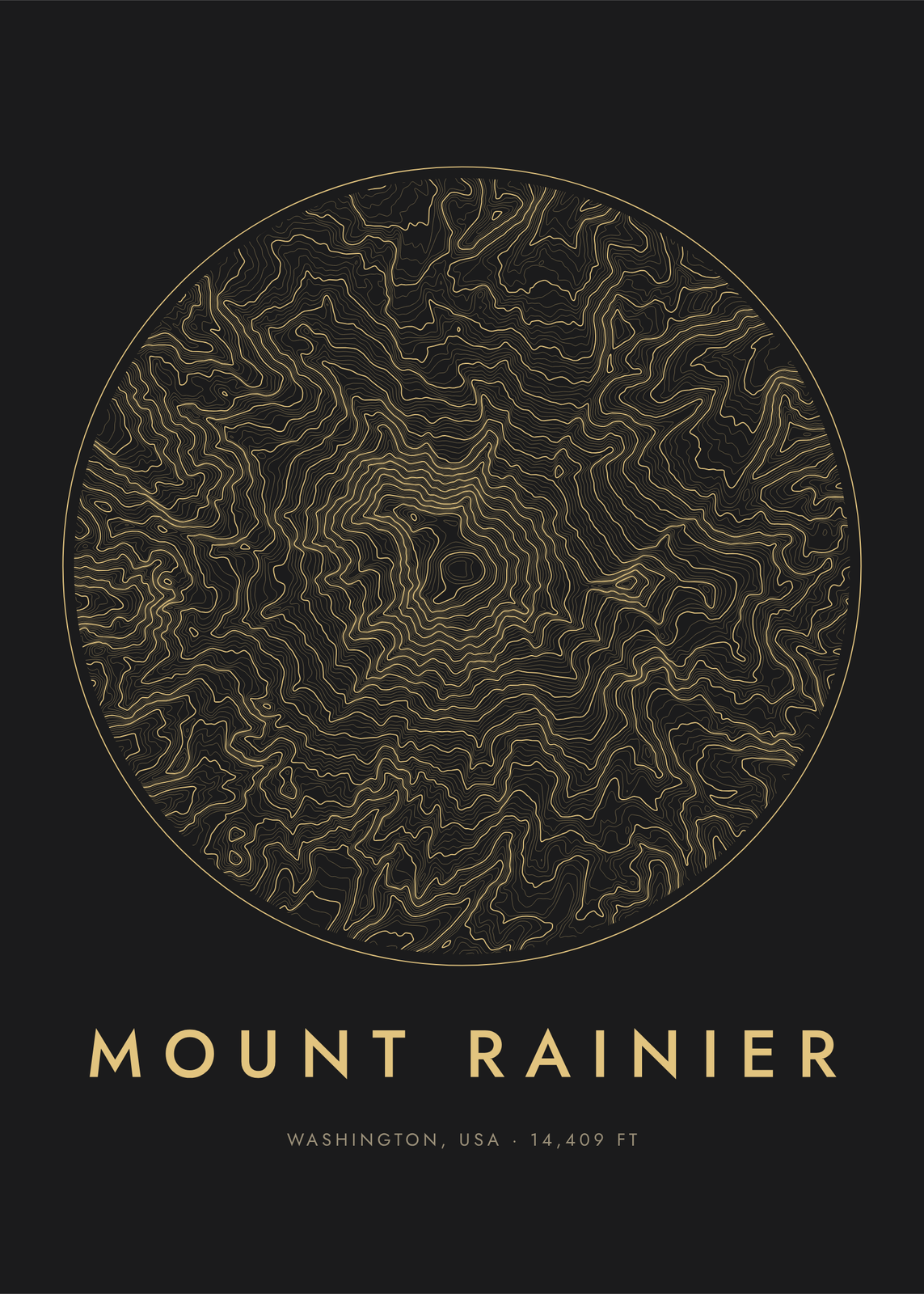
Pick a peak, a canyon or a lake, or search for any place, and the land itself is drawn from public elevation data: as contour lines, tinted bands, stacked ridgelines, hachures like an old survey, shaded relief, or an engraved block raised off the page. Set the radius, the colors and the shape, and the place's name, region and summit height letter themselves underneath.
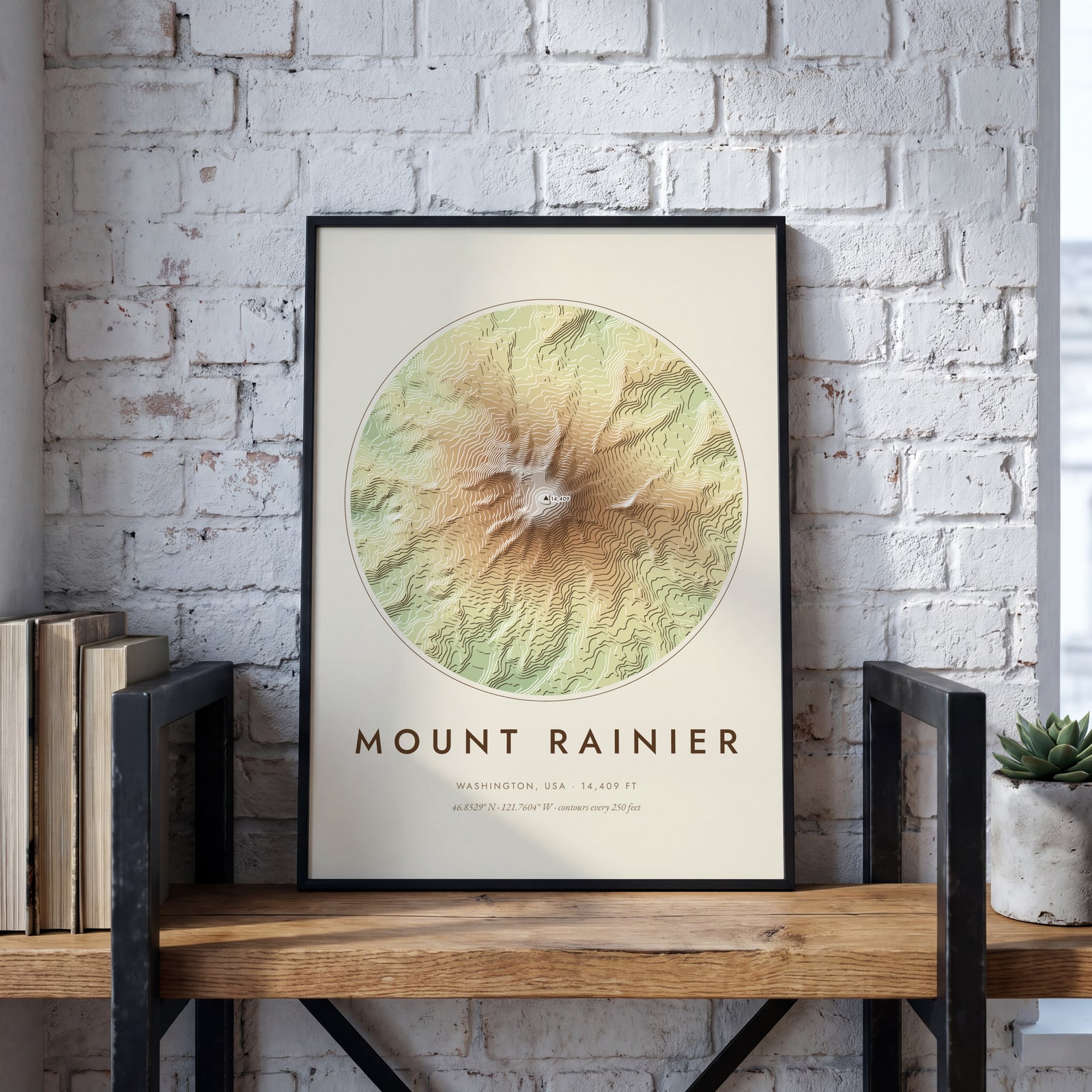
On the wall
A few of them framed at home. Open any one to make it yours.
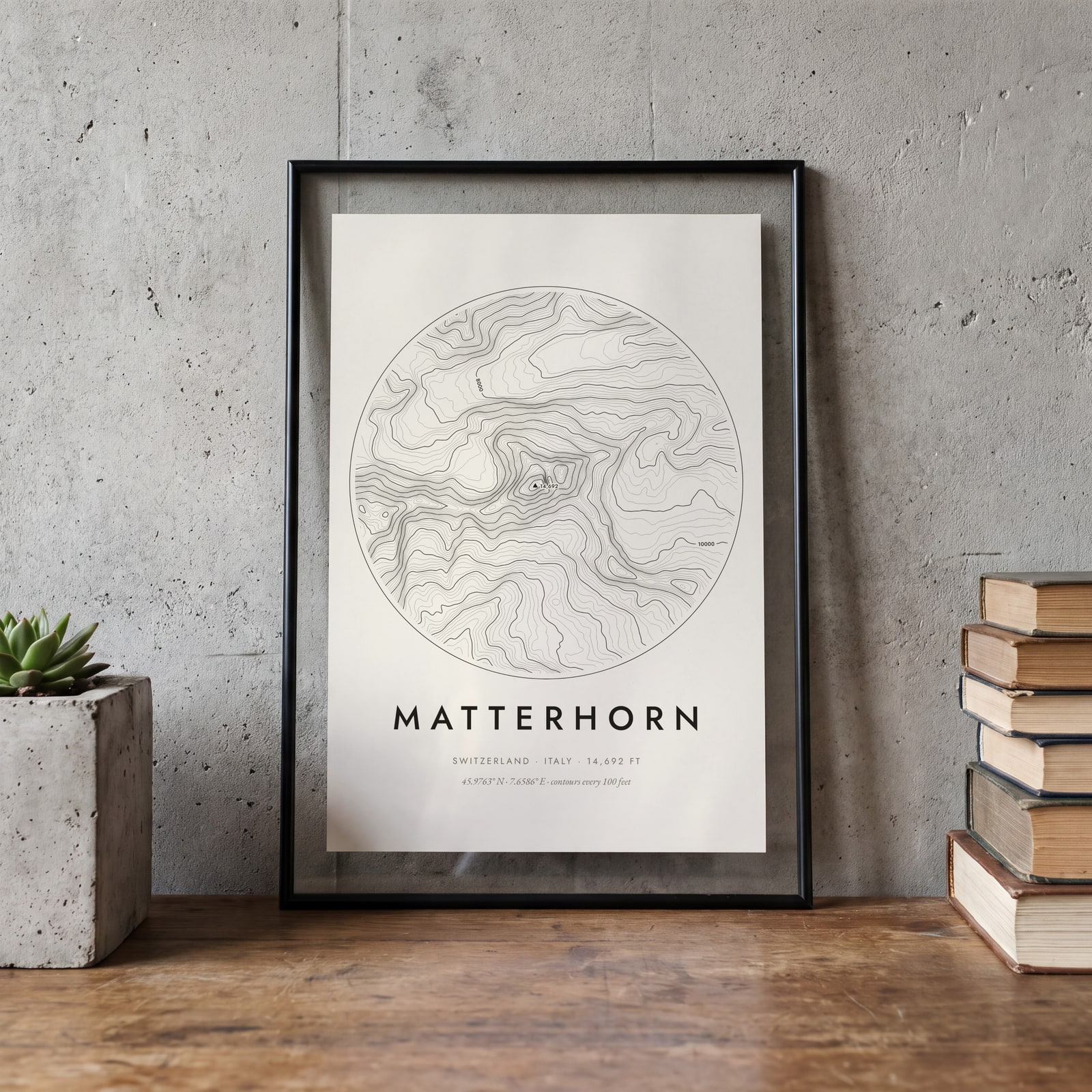
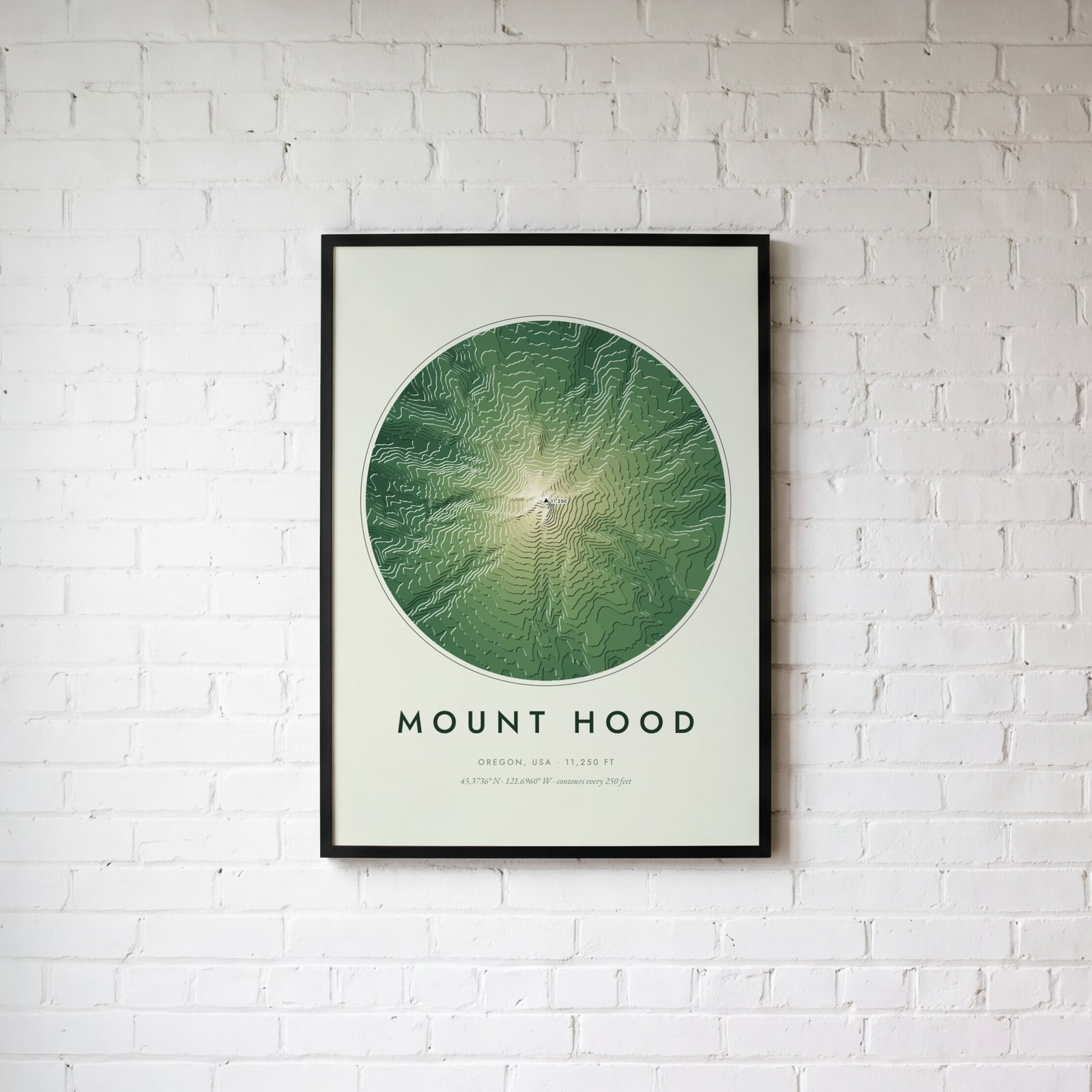
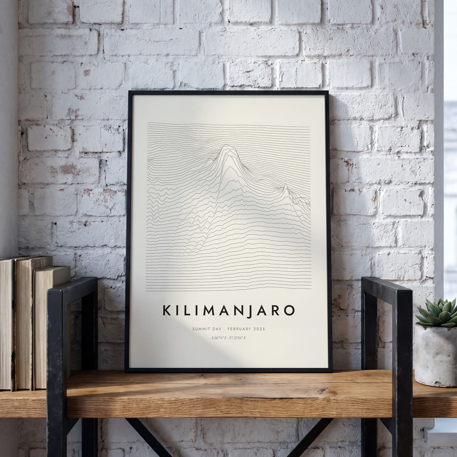
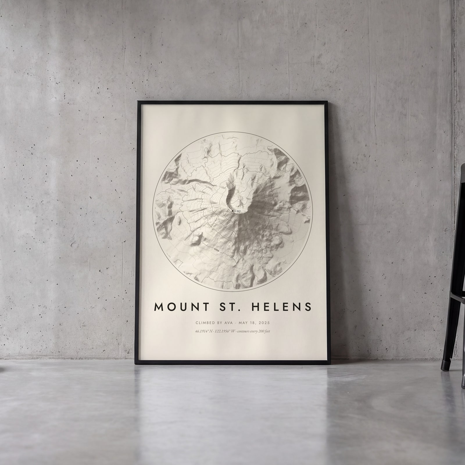
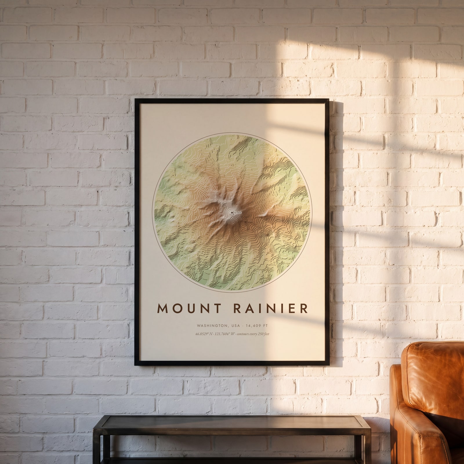
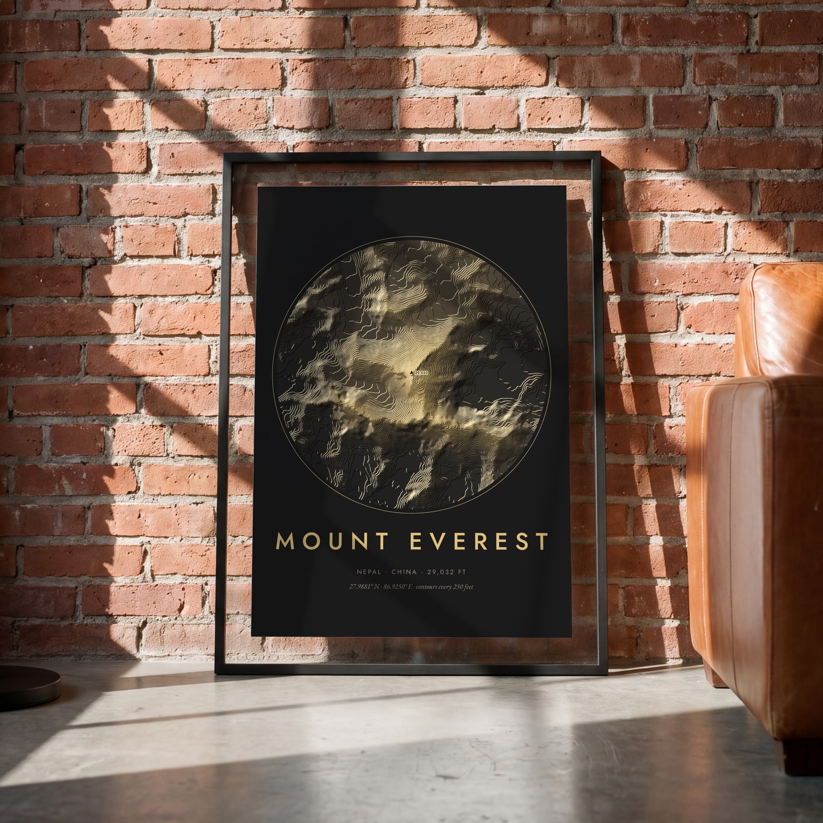
Examples
Open any of them to change the words, the place, the date and the style, then download the print file.
Styles
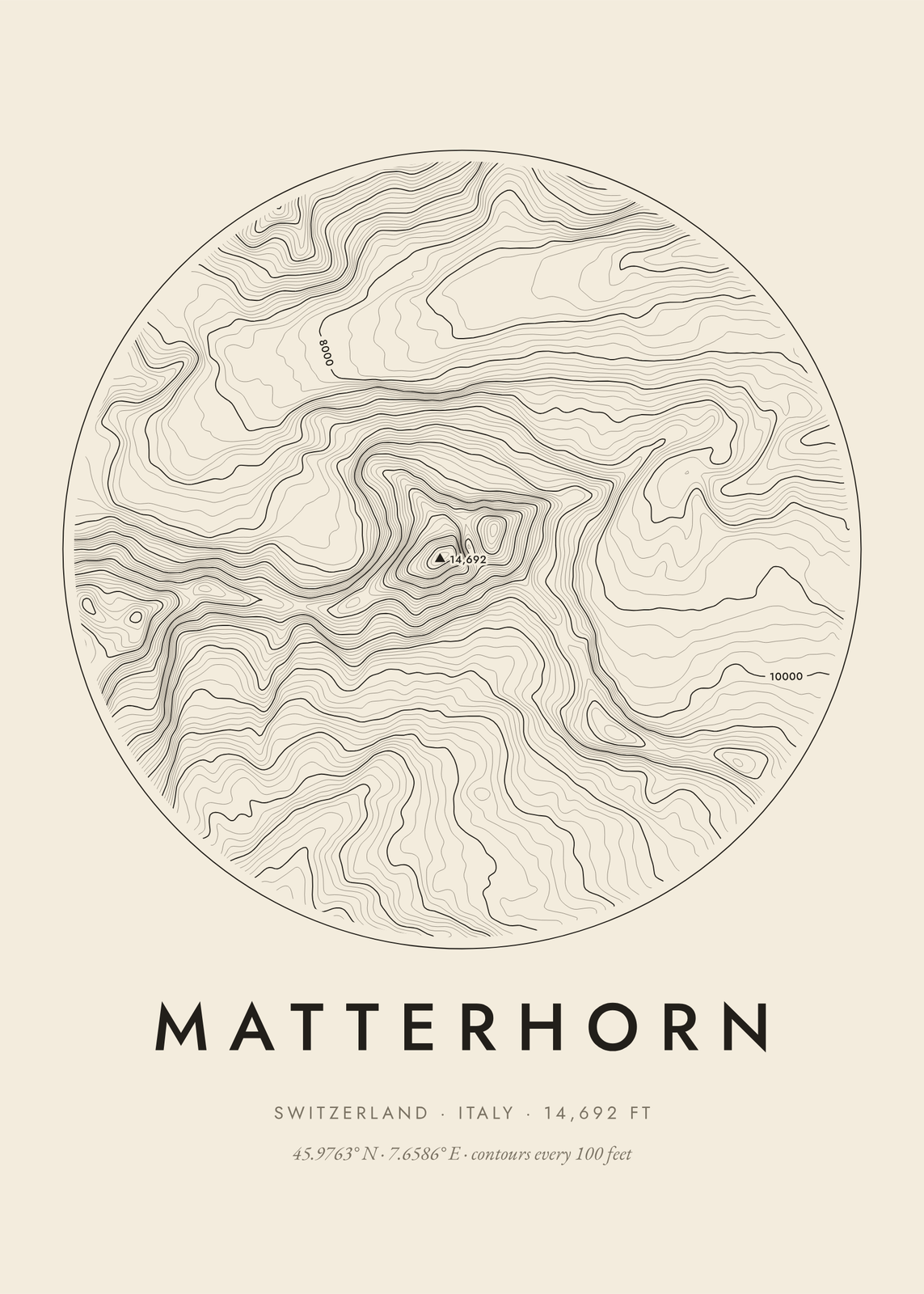
Colors
Shapes
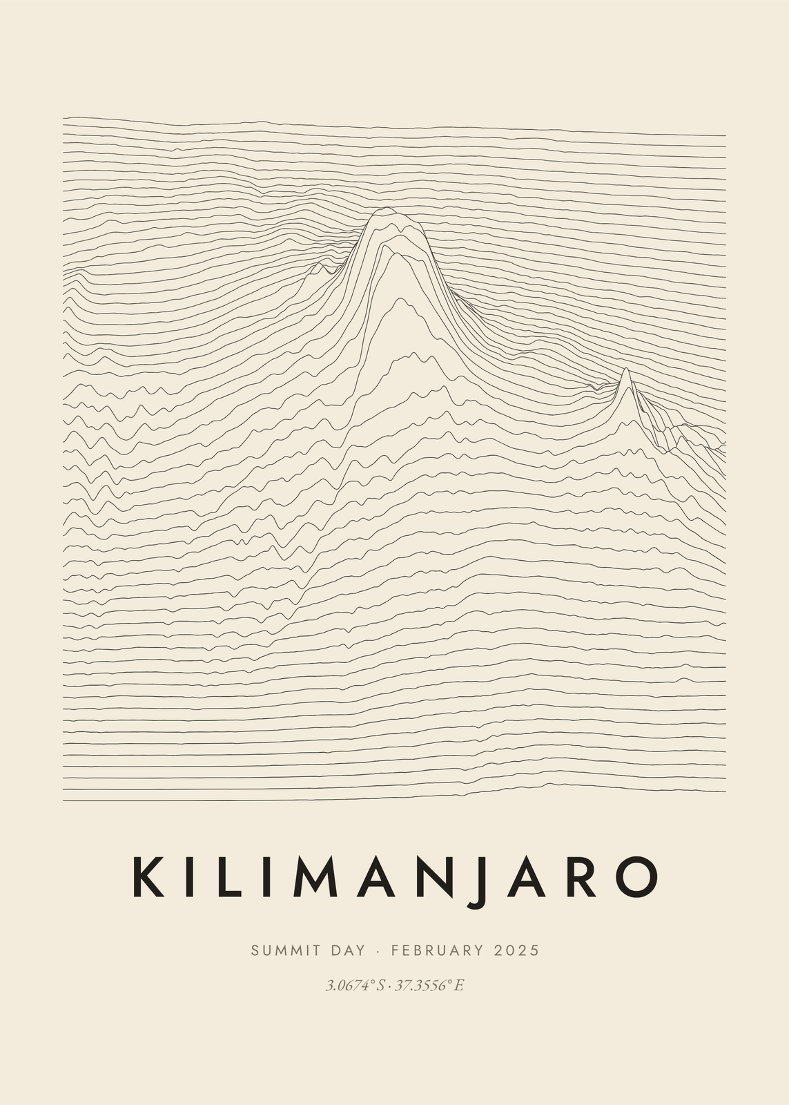
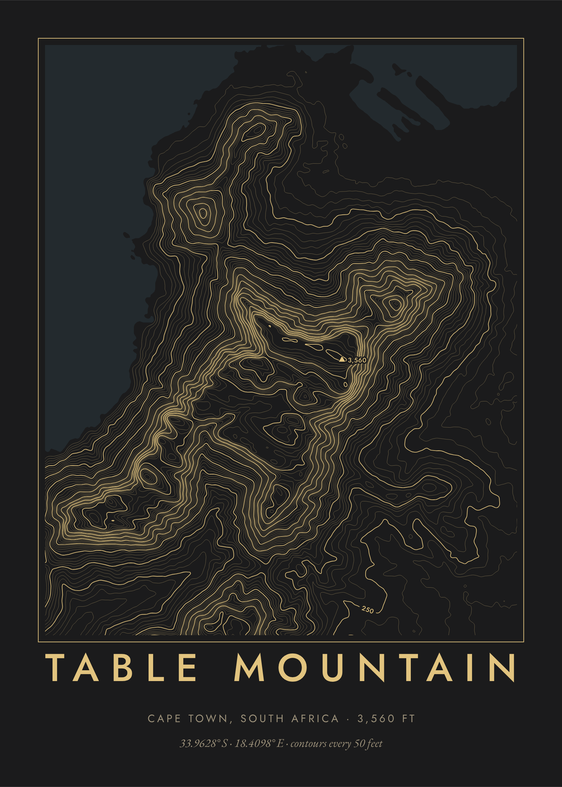
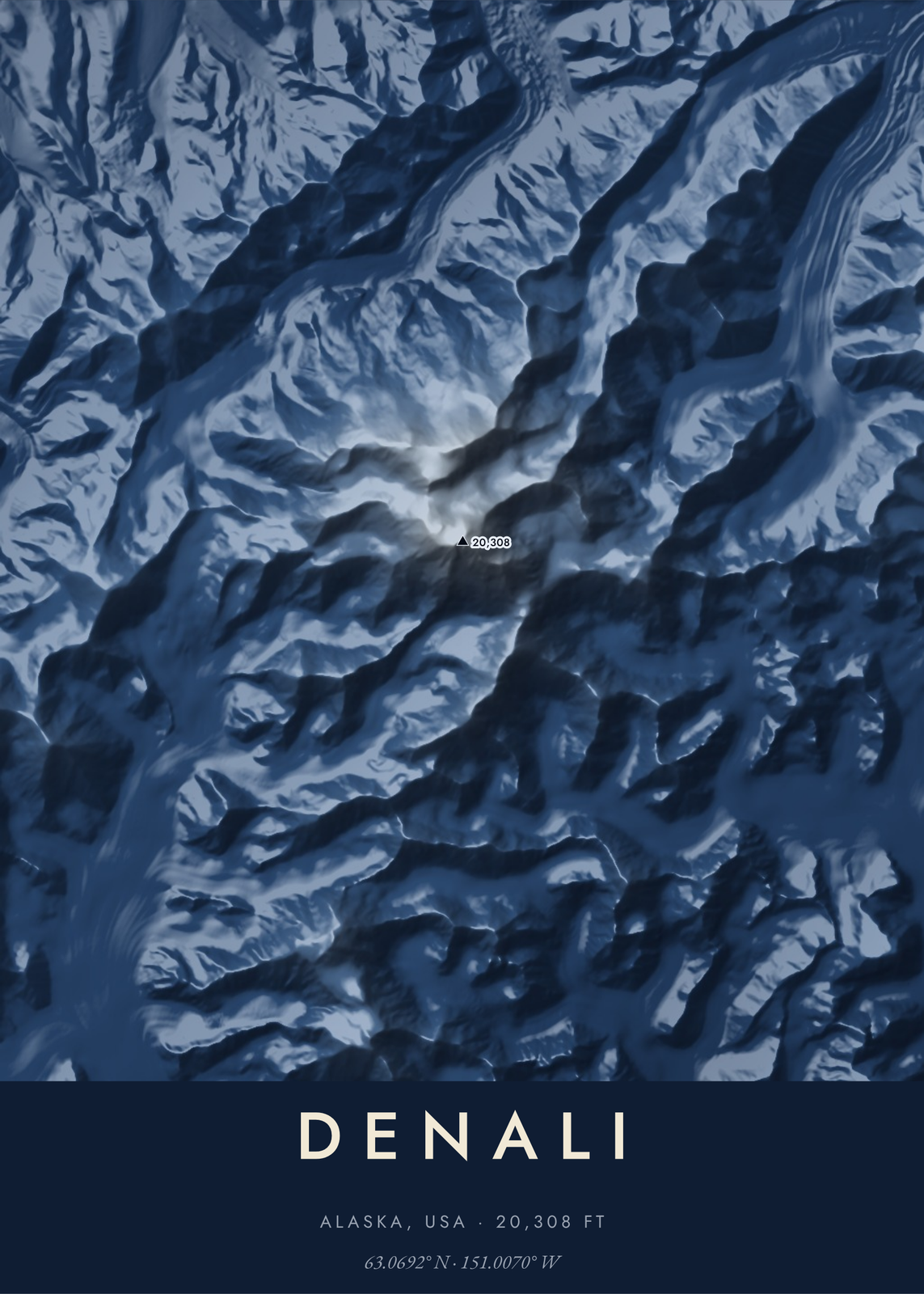
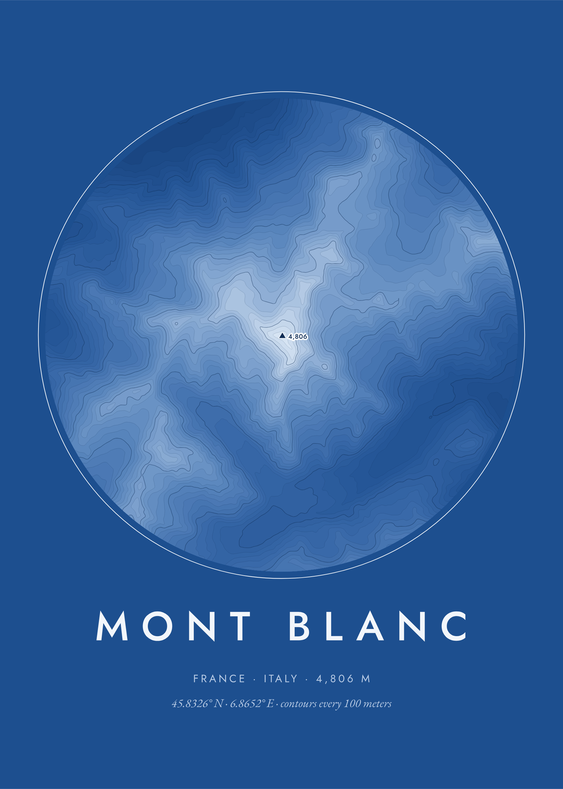
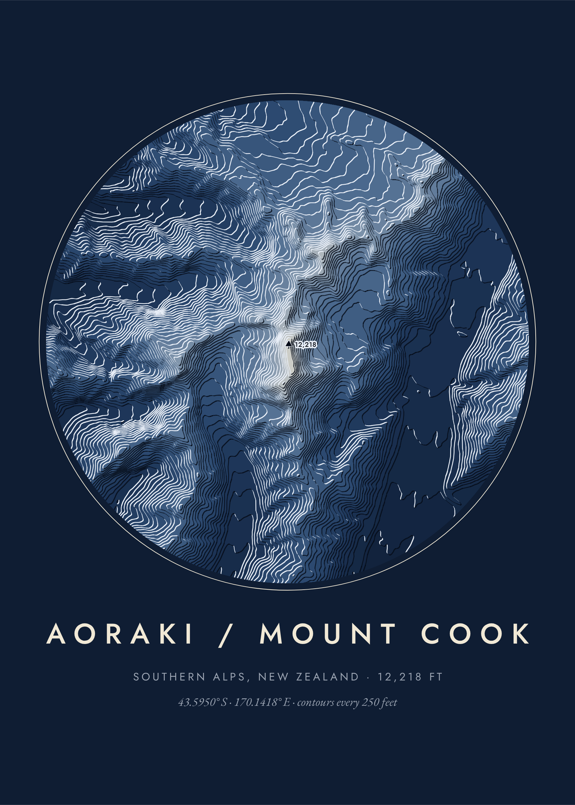
Six ways to draw the land
- Contours: lines of equal height, with the heights labeled.
- Bands: the land in tinted steps from low to high, each edge catching the light on one side.
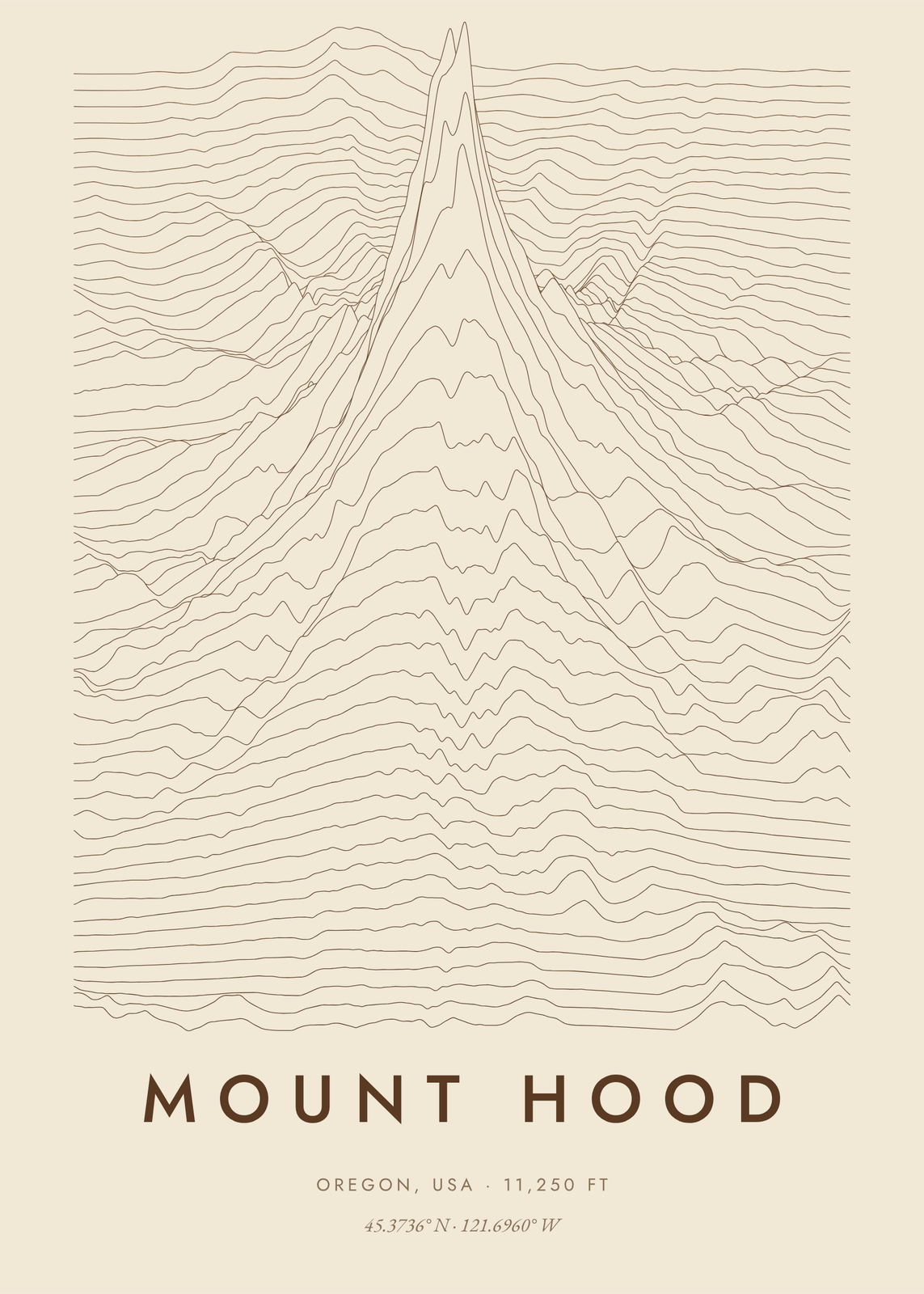
- Ridgelines: rows of profiles stacked up the sheet, the peak rising out of them.
- Hachures: short strokes running down the slopes, as on old survey maps.
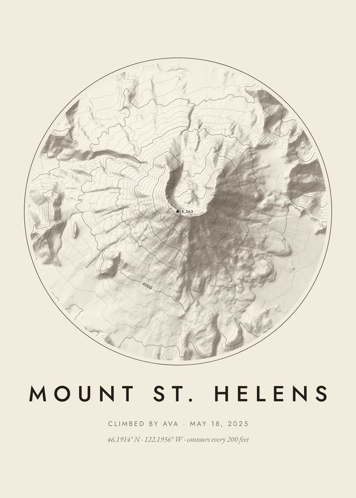
- Relief: the land shaded as if lit from the northwest, or from the side you pick, with contour lines on top if you like.
- Block: the ground raised as a square block seen from one corner, engraved in hatching, dots or terraces, with outlined, layered or solid sides.
Fifteen peaks, or anywhere
Start from Mount Rainier, Half Dome, the Matterhorn, Mount Fuji, the Grand Canyon, Denali, Kilimanjaro, Mont Blanc, Mount Everest, Table Mountain, Crater Lake, Mount St. Helens, Mount Hood, Aconcagua or Aoraki / Mount Cook. Or search for any place from 56° south to 60° north, plus Alaska, and set the radius from half a mile to over 18 miles. Heights read in feet or meters.
For a hiker's wall
Put the climb in the subtitle: “Summit day · February 2025” under Kilimanjaro, or who climbed it and when. Shape sets a circle, a square, a framed map or the land edge to edge, and Colors runs from Ink on cream and White on navy to Earth tones, Forest, Charcoal and gold, Alpenglow and Blueprint. Changing colors only recolors the land; the lines stay put.
Questions
Where does the elevation data come from?
From public-domain elevation models: NASA's NASADEM for most of the world, and the finer USGS 3DEP survey for the United States. Being public domain, they need no credit line on the poster.
Can I map any place?
Anywhere from 56° south to 60° north, plus Alaska. Farther north there's no public-domain data, so those places show a message instead of a map.
Can I map my town instead of a mountain?
For streets, make custom map art. A topographic map shows only the shape of the land, so it suits places with hills, peaks, canyons or lakes. For gentle ground, raise Relief depth.
What sizes can I print?
US Letter, 8 × 10, 11 × 14, 12 × 16 and 12 × 18 in, A4 and A3, free. You download a 300 DPI JPEG drawn at the size you pick. Larger prints, up to 24 × 36 in, are coming soon.
Related
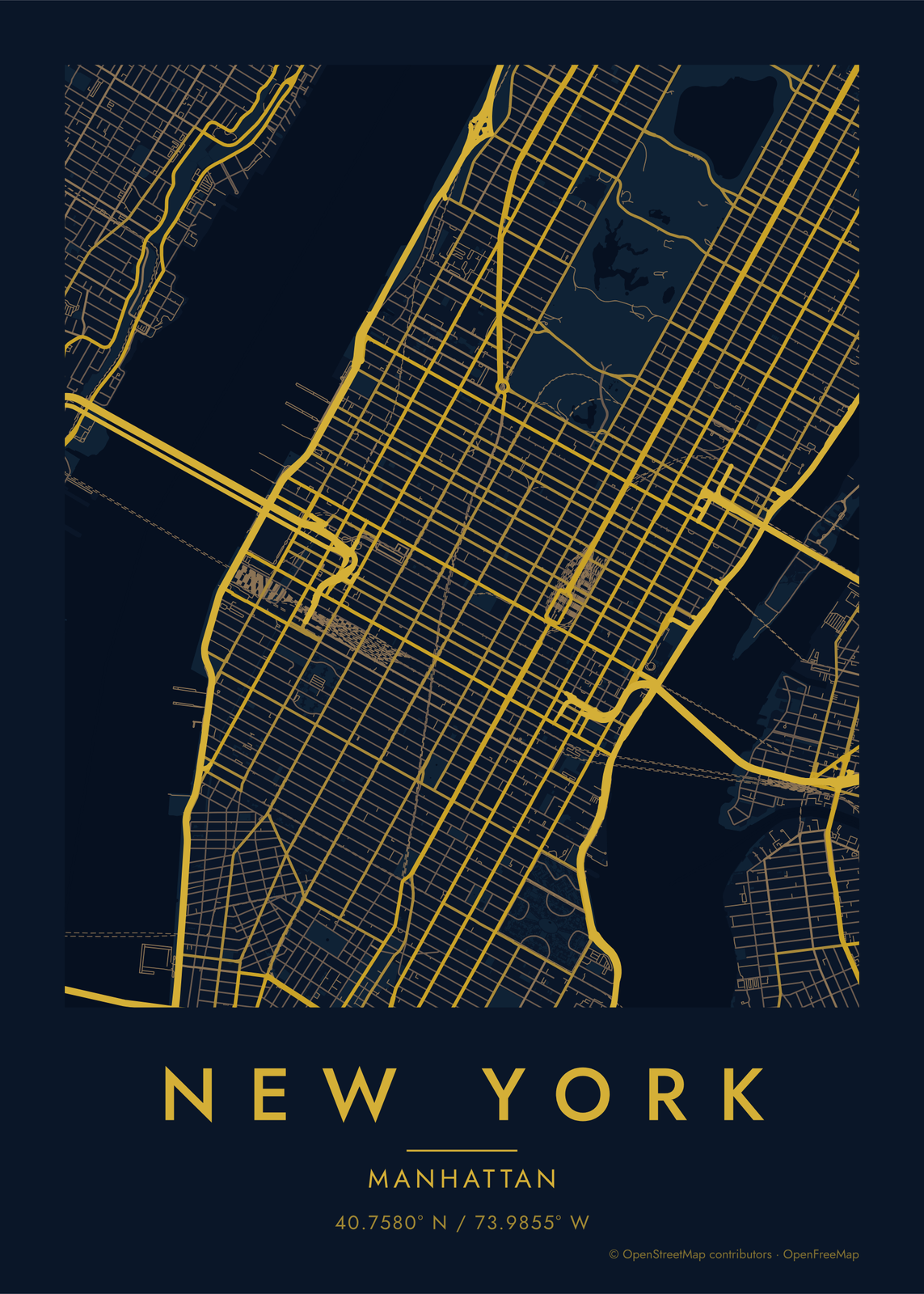
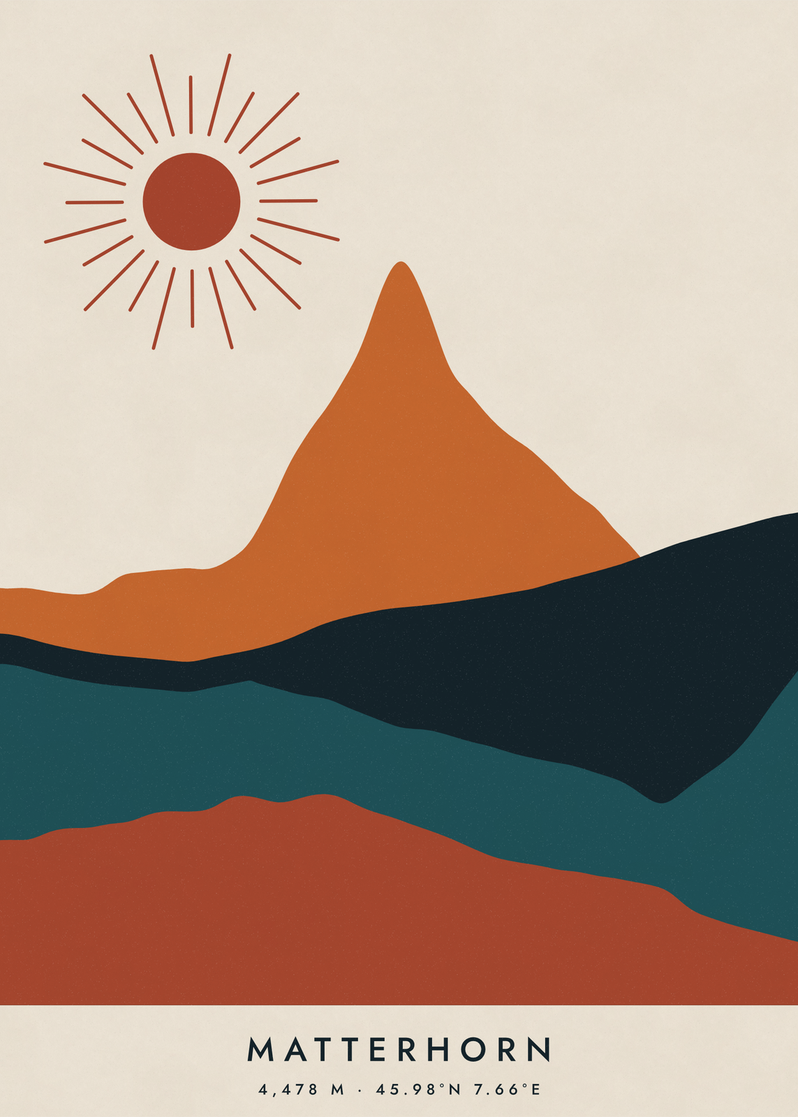
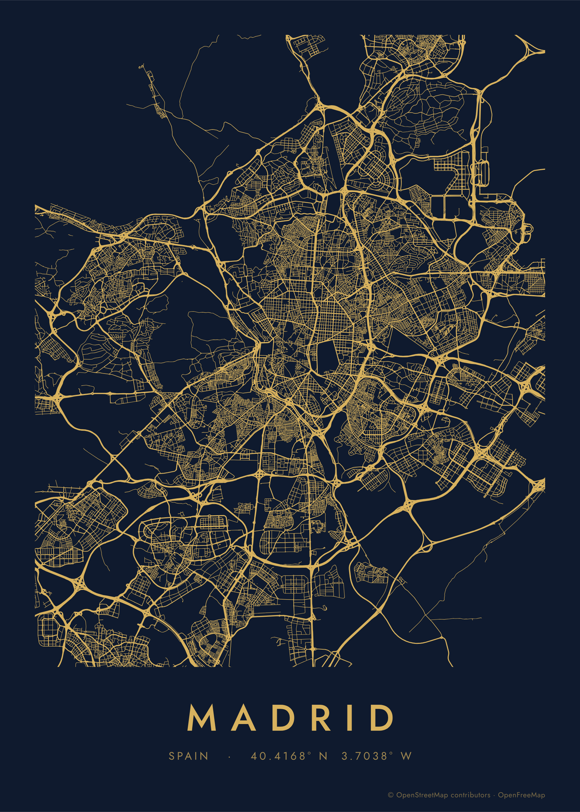
Gift ideas by occasion




Every example is made with the Posterage generators. Change anything, then download it as a 300 DPI JPEG.