Lisbon neighborhood map all 24 freguesias, named
This poster maps Lisbon as its 24 freguesias, or parishes, from Belém in the west to Parque das Nações on the river in the east. Bairro names like Alfama, Chiado and Graça print as small labels on top. Highlight your parish and print it.
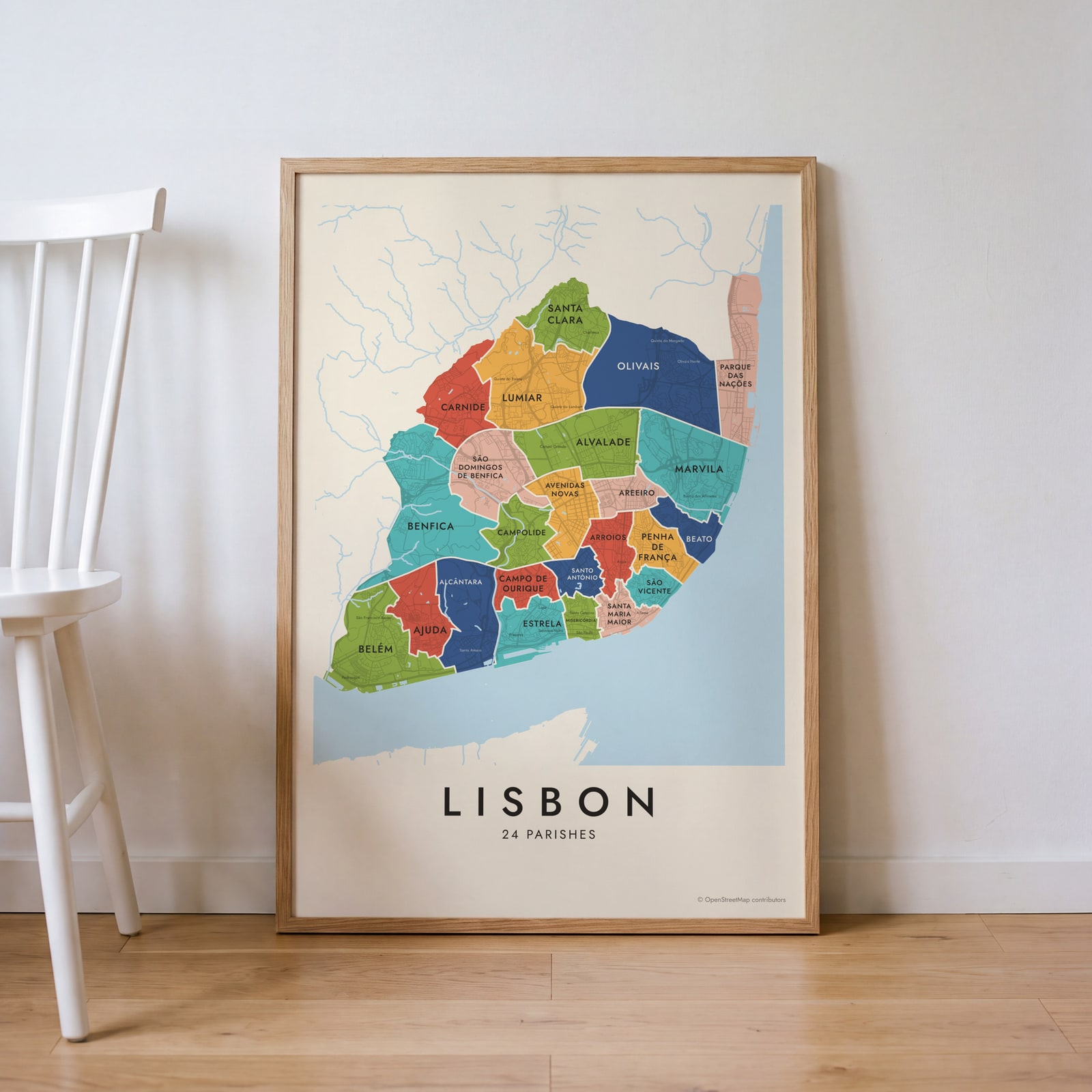
On the wall
A few of them framed at home. Open any one to make it yours.
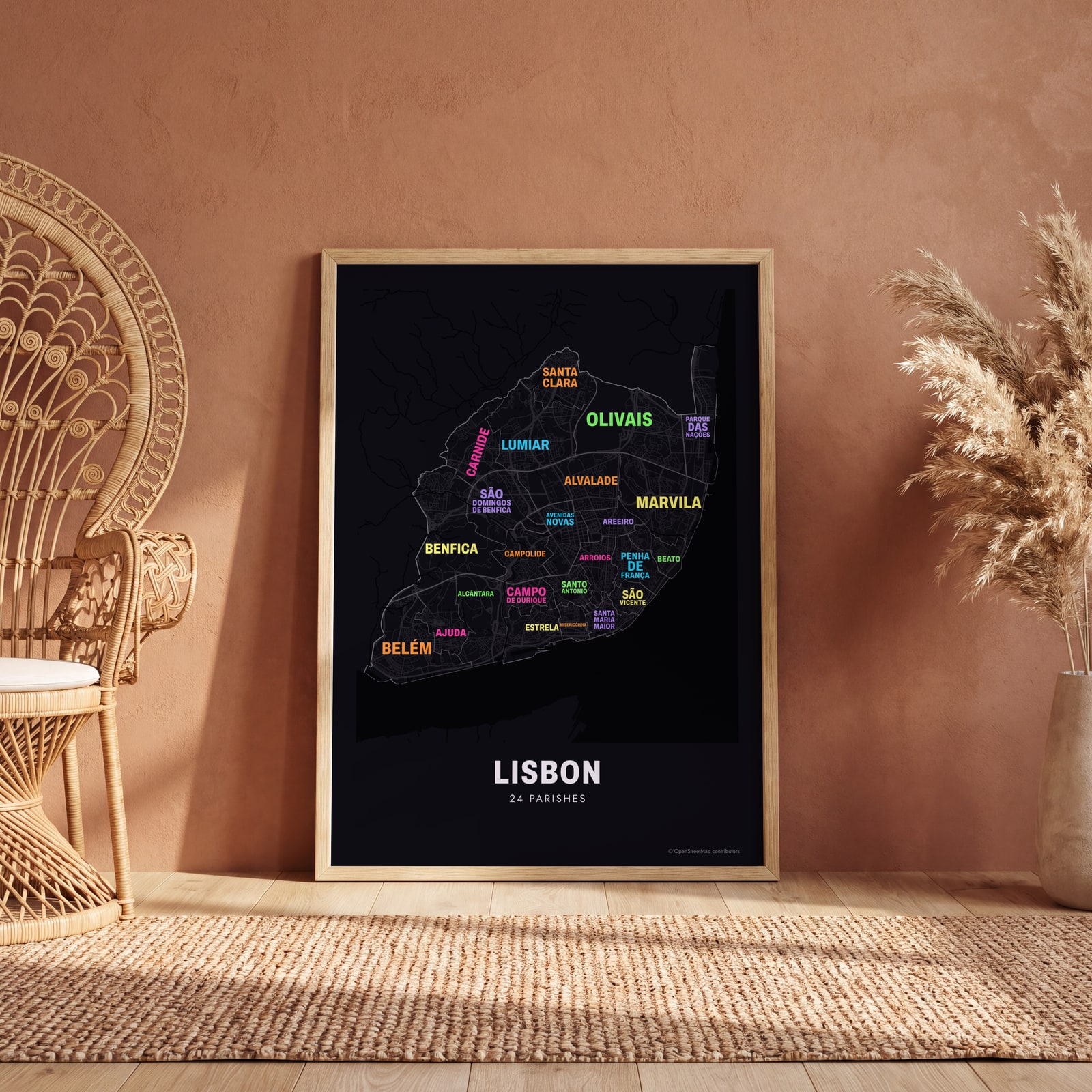 Typographic Lisbon map: the names fill their parishesEdit this →
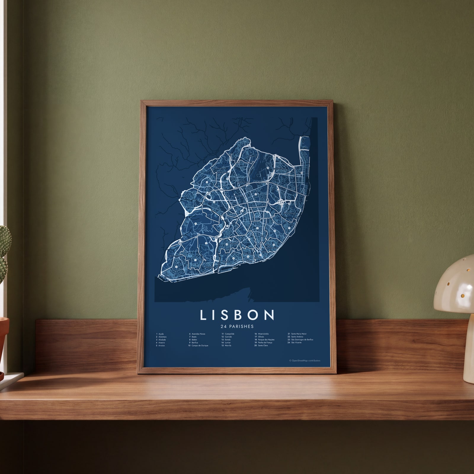 Lisbon street map with numbered parishes and their listEdit this →
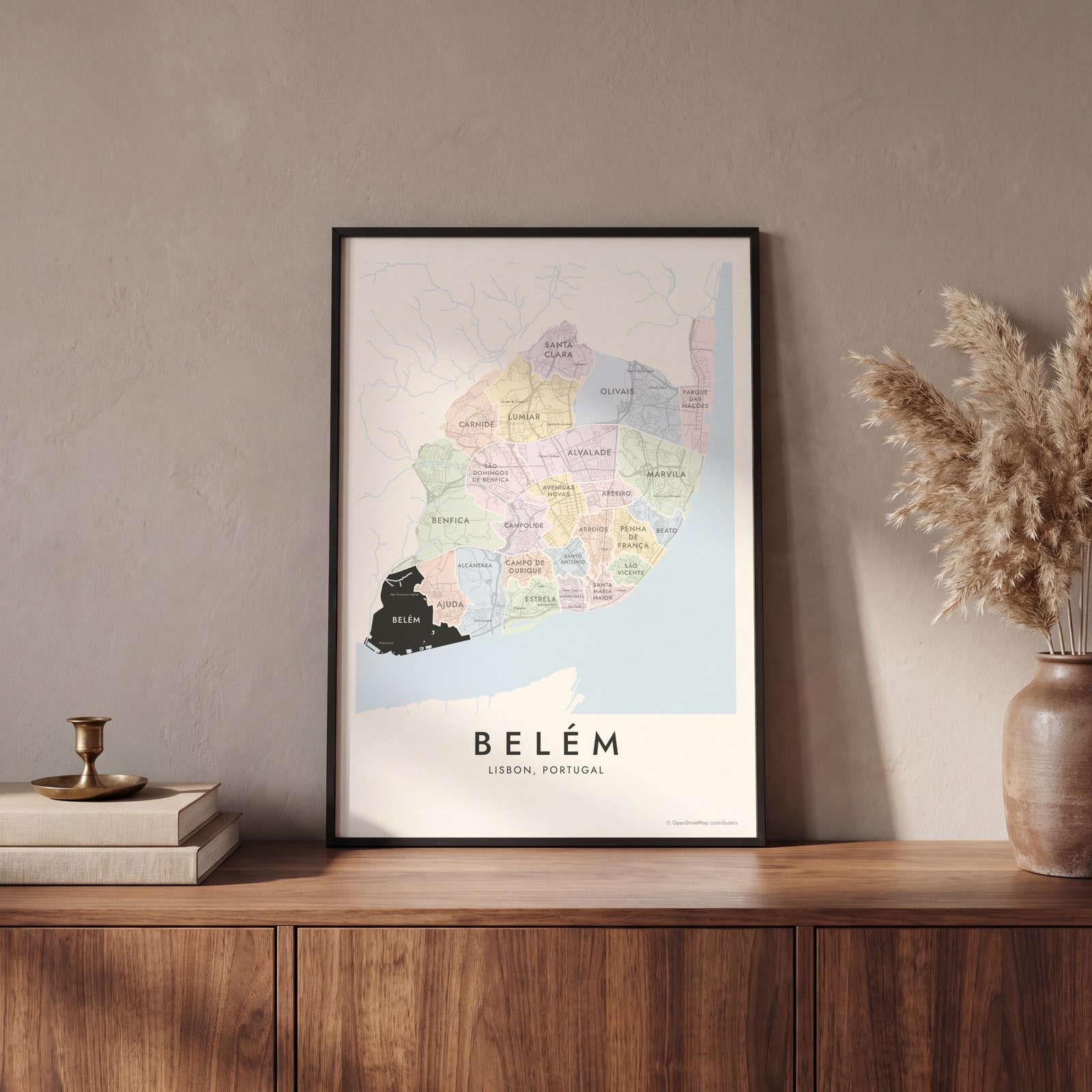 Belém highlighted on a map of LisbonEdit this →
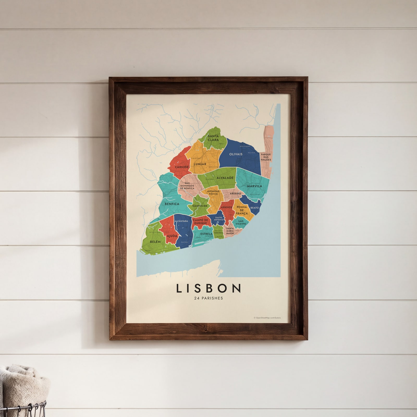 Lisbon neighborhood map in color, every parish namedEdit this →
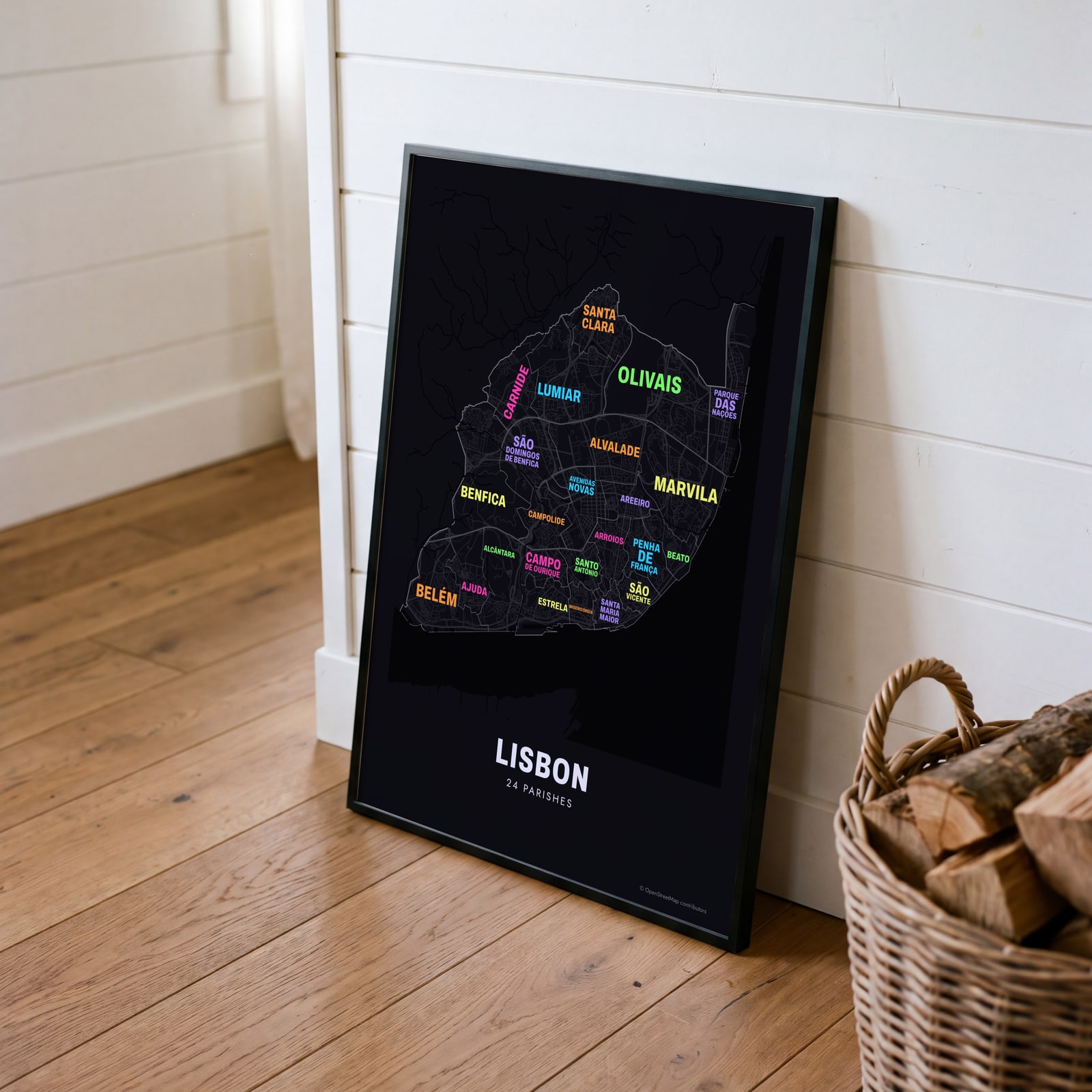 Typographic Lisbon map: the names fill their parishesEdit this →
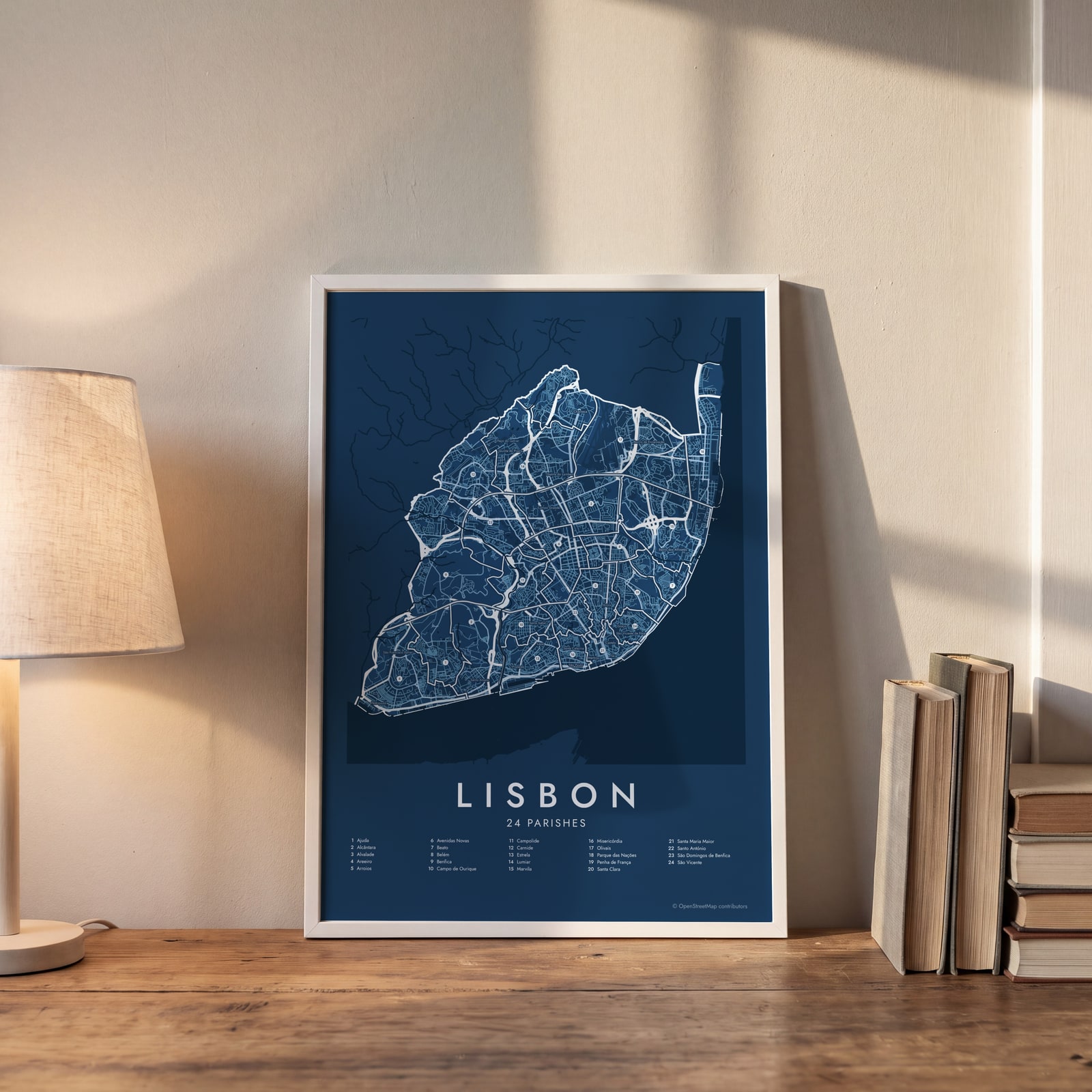 Lisbon street map with numbered parishes and their listEdit this →
Examples
Open any of them to change the words, the place, the date and the style, then download the print file.
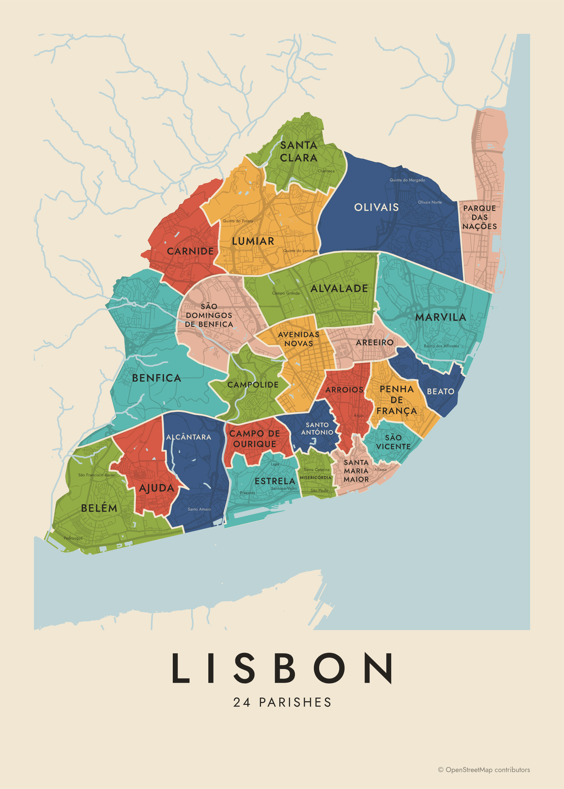 Lisbon neighborhood map in color, every parish namedEdit this →More neighborhood maps →
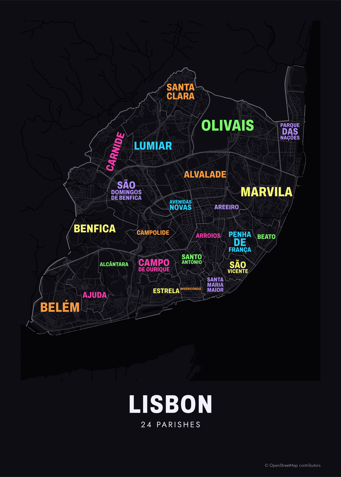 Typographic Lisbon map: the names fill their parishesEdit this →More neighborhood maps →
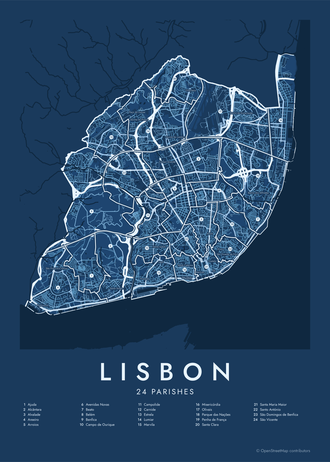 Lisbon street map with numbered parishes and their listEdit this →More neighborhood maps →
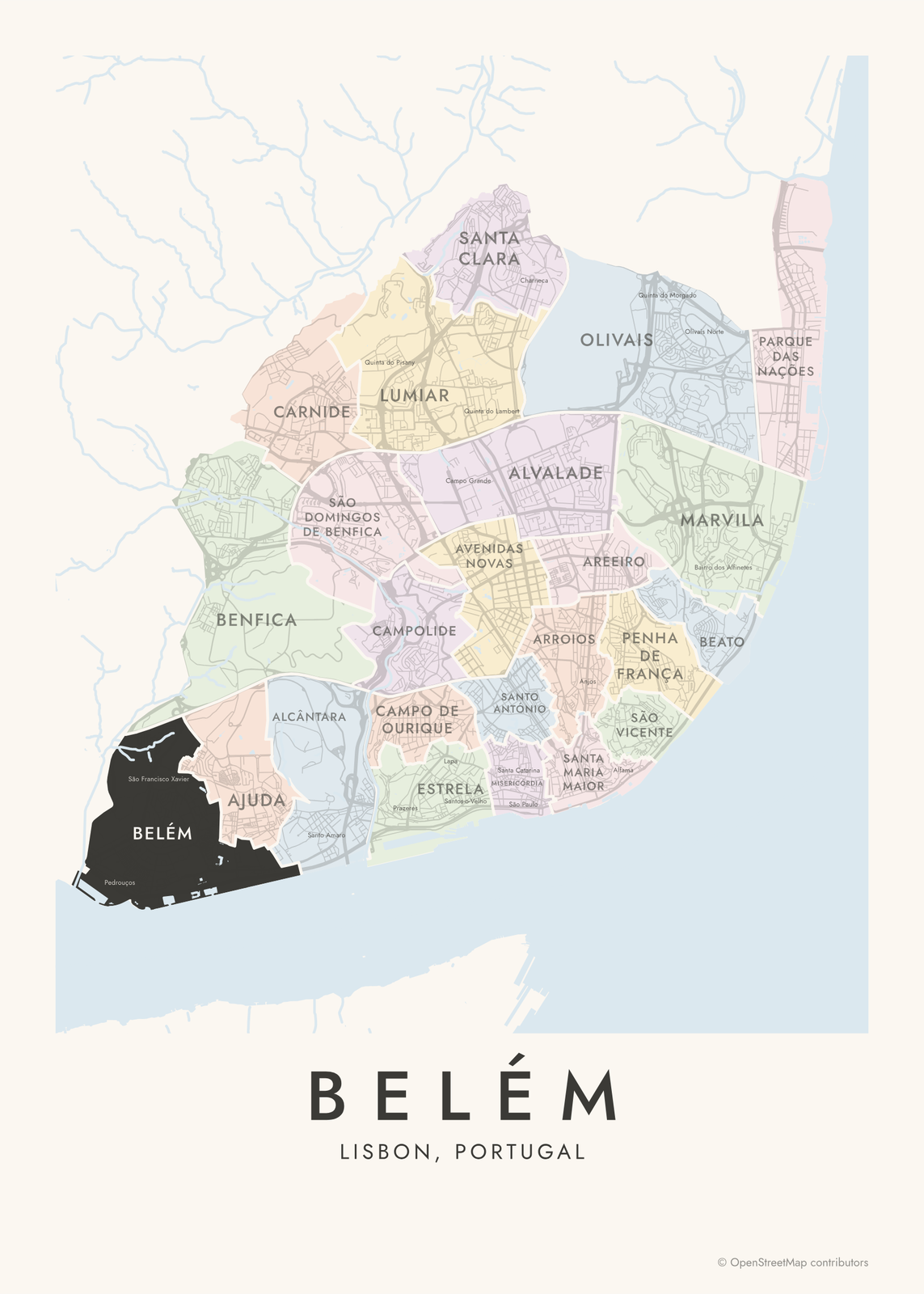 Belém highlighted on a map of LisbonEdit this →More neighborhood maps →
How Lisbon is divided
Freguesias are Lisbon's smallest unit of local government, each with its own elected parish council. The city used to have 53, many of them tiny parishes in the old center. A reform passed in 2012 merged them into the 24 used today; Santa Maria Maior alone joined twelve old parishes.
Most locals don't think in parishes, though. They talk about bairros: Alfama sits in Santa Maria Maior, Bairro Alto in Misericórdia, Graça in São Vicente. Bairros have no fixed borders, so they print as small labels, along with the names of many old parishes, like Sé and Lapa.
All 24 parishes of Lisbon
- Ajuda
- Alcântara
- Alvalade
- Areeiro
- Arroios
- Avenidas Novas
- Beato
- Belém
- Benfica
- Campo de Ourique
- Campolide
- Carnide
- Estrela
- Lumiar
- Marvila
- Misericórdia
- Olivais
- Parque das Nações
- Penha de França
- Santa Clara
- Santa Maria Maior
- Santo António
- São Domingos de Benfica
- São Vicente
More neighborhood names on the map
Inside the parishes, the map also names 69 smaller neighborhoods where they fit, from OpenStreetMap: São Francisco Xavier, Prazeres, Santa Isabel, Campo Grande, Campo Pequeno, Graça, Pedrouços, Restelo, Alto da Boavista, Junqueira, Santo Amaro, Quinta do Olival, Quinta do Cabrinha, Quinta do Loureiro, Ceuta Sul, Casal Ventoso, Paço do Lumiar, Quinta dos Alcoutins, Quinta do Pisany, Santo Condestável, Sete Rios, Alto da Faia, Carriche, Alto do Chapeleiro, Amoreiras, Lapa, Santos-o-Velho, Rato, Bairro da Cruz Vermelha, São Bento, Quinta do Lambert, São Mamede, São Sebastião da Pedreira, Mercês, Santa Catarina, São Paulo, Coração de Jesus, Saldanha, Charneca, Encarnação and more. Turn them off under Names if you want only the parishes.
Neighborhoods to know
- Belém: the Jerónimos Monastery and Belém Tower, both from the 1500s, on the Tagus.
- Alcântara: old docks and factories beneath the 25 de Abril Bridge, including LX Factory.
- Santa Maria Maior: the Baixa, rebuilt on a grid after the 1755 earthquake, plus the castle, the cathedral and most of Alfama.
- Misericórdia: the narrow streets of Bairro Alto and the riverside Cais do Sodré.
- Parque das Nações: built on old industrial land for Expo 98, with the Oceanário by the river.
- Estrela: named for the Basílica da Estrela and the garden across the street.
- São Vicente: Graça, the São Vicente de Fora monastery and the Feira da Ladra flea market.
- Alfama: the old quarter of steep lanes and stairways between the castle and the river.
How to make your Lisbon neighborhood poster
- Open the Lisbon map.
- Pick a style: Colored areas, Typographic (the names fill the map) or a Street map with the borders over the streets.
- Tap your own neighborhood to highlight it; it becomes the poster's title.
- Drag and zoom to frame the whole city or just your part of it, then pick a size and download the print file.
Questions
How many neighborhoods does Lisbon have?
Officially, Lisbon has 24 freguesias, or parishes, since a 2012 reform cut them from 53. Bairros, the neighborhoods people name day to day, have no official list or borders.
Which parishes are Alfama and Bairro Alto in?
Alfama is in Santa Maria Maior, along with the Baixa, the castle and the cathedral. Bairro Alto is in Misericórdia, with Cais do Sodré.
What's the difference between a freguesia and a bairro?
A freguesia is an official parish with an elected council and fixed borders. A bairro is a neighborhood in the everyday sense, like Alfama or Graça, with no official edges. One freguesia often holds several bairros.
Are Sintra and Cascais on the map?
No. They're separate municipalities in the Lisbon area. This map shows the city of Lisbon itself, split into its 24 parishes.
Where do the Lisbon boundaries come from?
From OpenStreetMap (© OpenStreetMap contributors). Streets and water are OpenStreetMap's. Boundaries are a snapshot and can differ from what neighbors call home; tell us if one looks wrong.
What sizes can I print?
US Letter, 8 × 10, 11 × 14, 12 × 16 and 12 × 18 in, A4 and A3, free. You download a 300 DPI JPEG drawn at the size you pick. Larger prints, up to 24 × 36 in, are coming soon.
Related

Gift ideas by occasion




Every example is made with the Posterage generators. Change anything, then download it as a 300 DPI JPEG.