Porto neighborhood map all 7 parishes, from Foz to Campanhã
This poster maps the city of Porto split into its 7 freguesias, or parishes, each one named. More than 180 older parish and neighborhood names, like Ribeira, Boavista and Foz do Douro, print as small labels. Highlight your parish and print it.
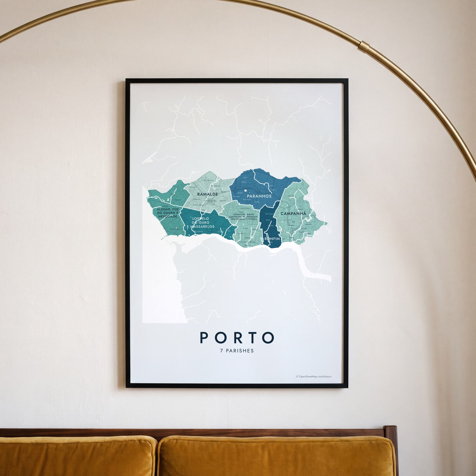
On the wall
A few of them framed at home. Open any one to make it yours.
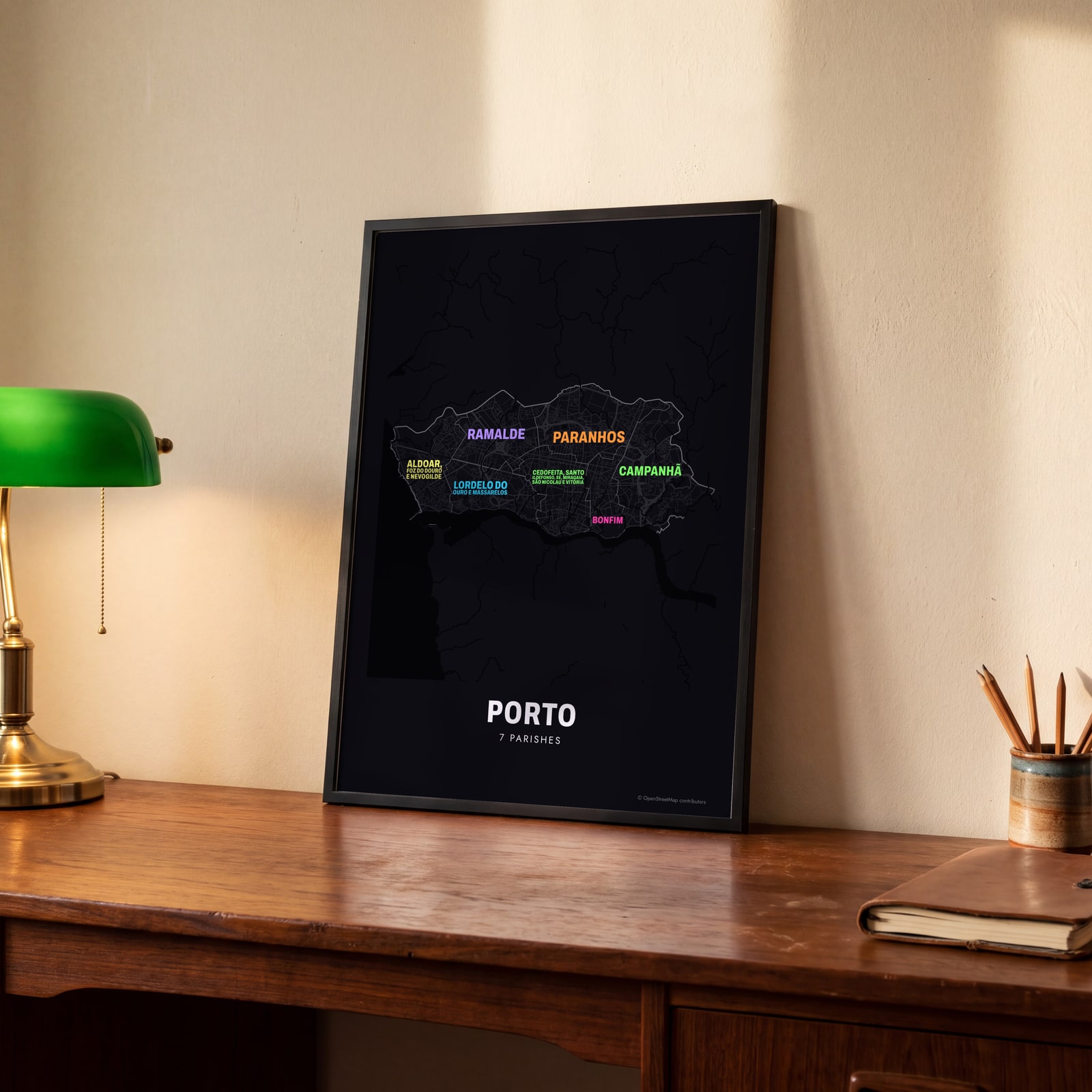 Typographic Porto map: the names fill their parishesEdit this →
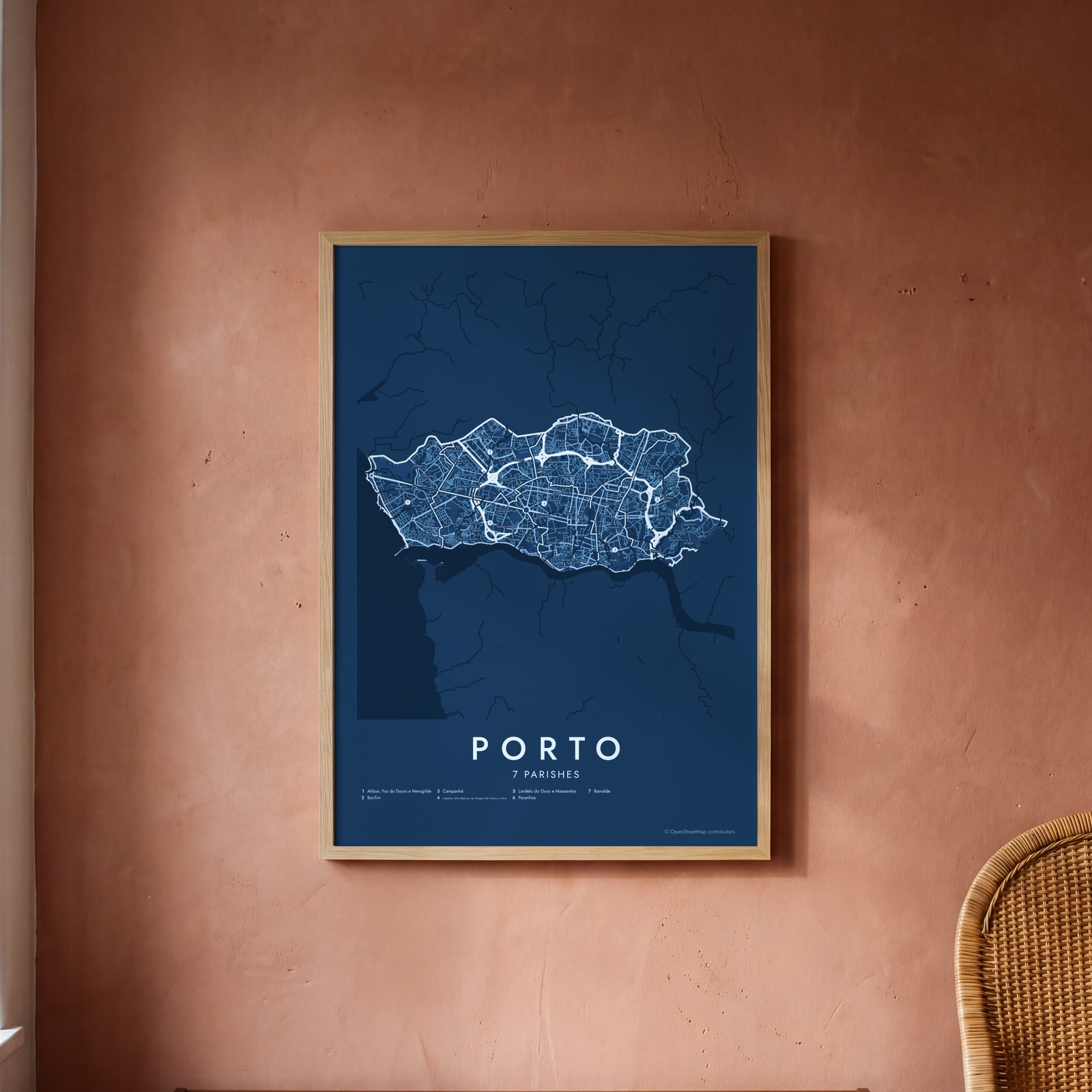 Porto street map with numbered parishes and their listEdit this →
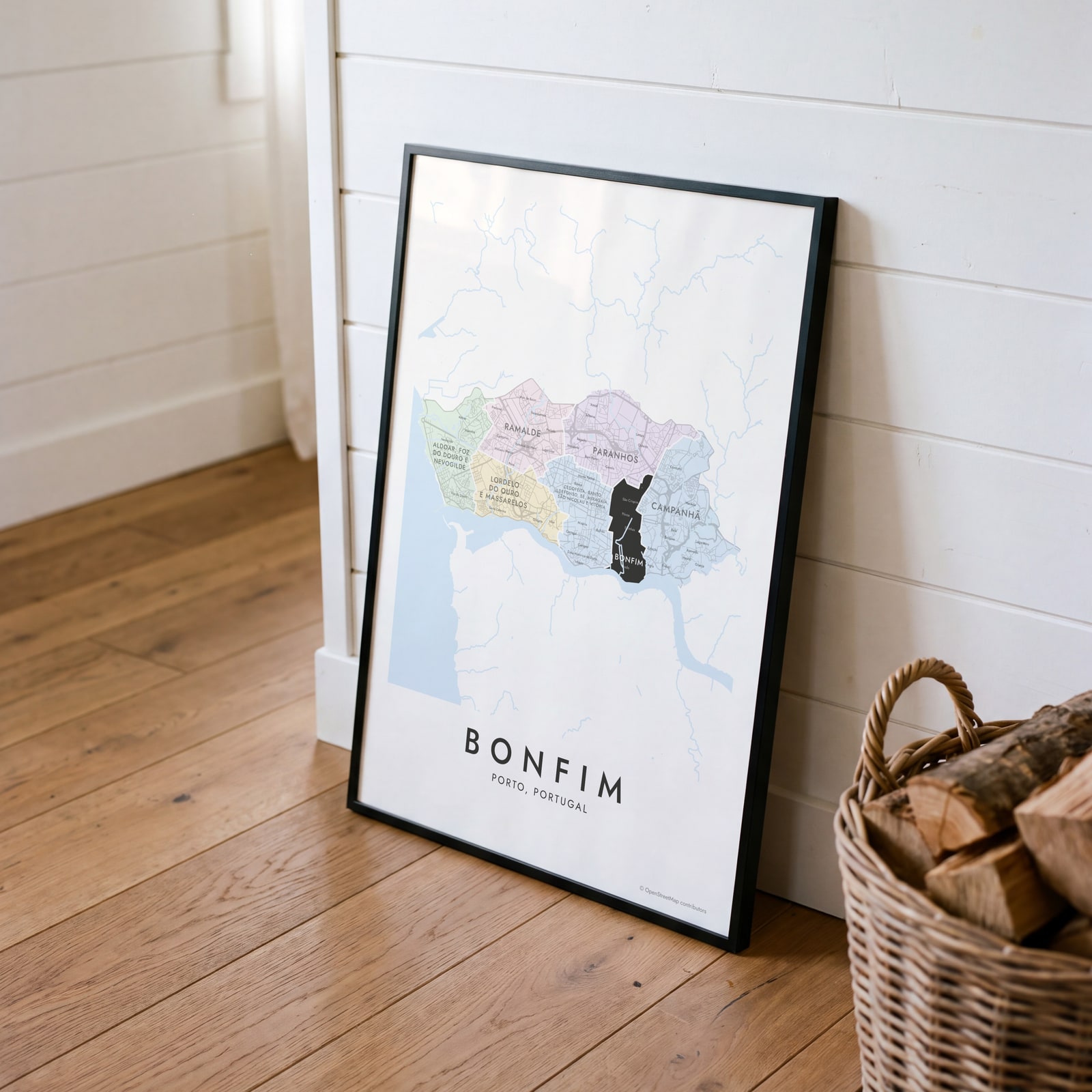 Bonfim highlighted on a map of PortoEdit this →
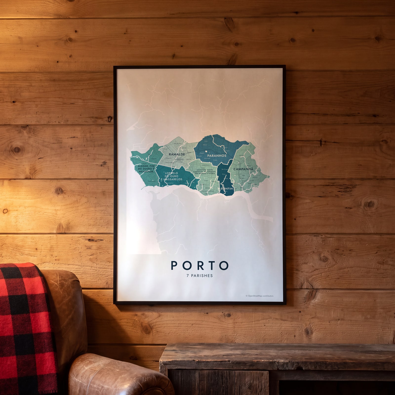 Porto neighborhood map in color, every parish namedEdit this →
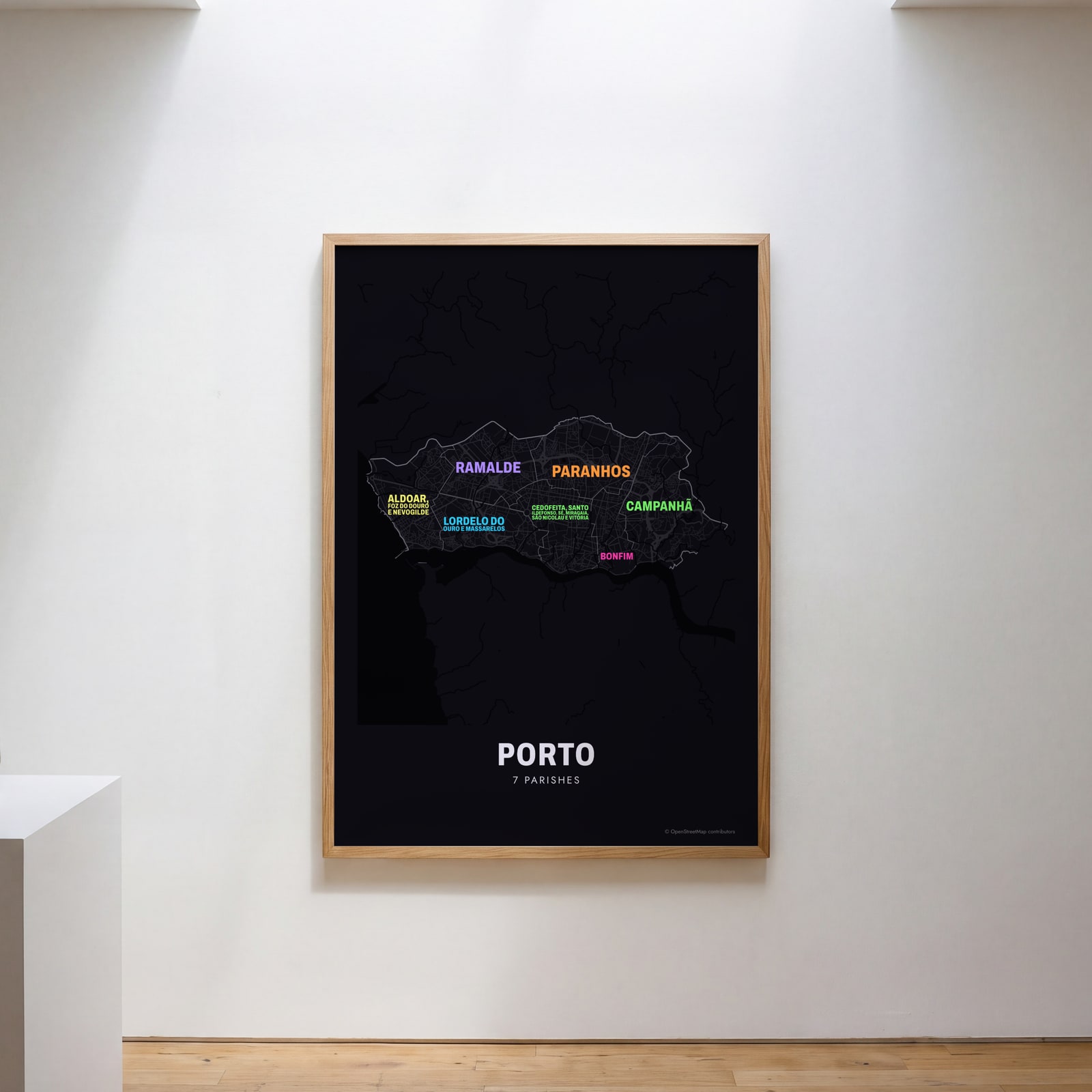 Typographic Porto map: the names fill their parishesEdit this →
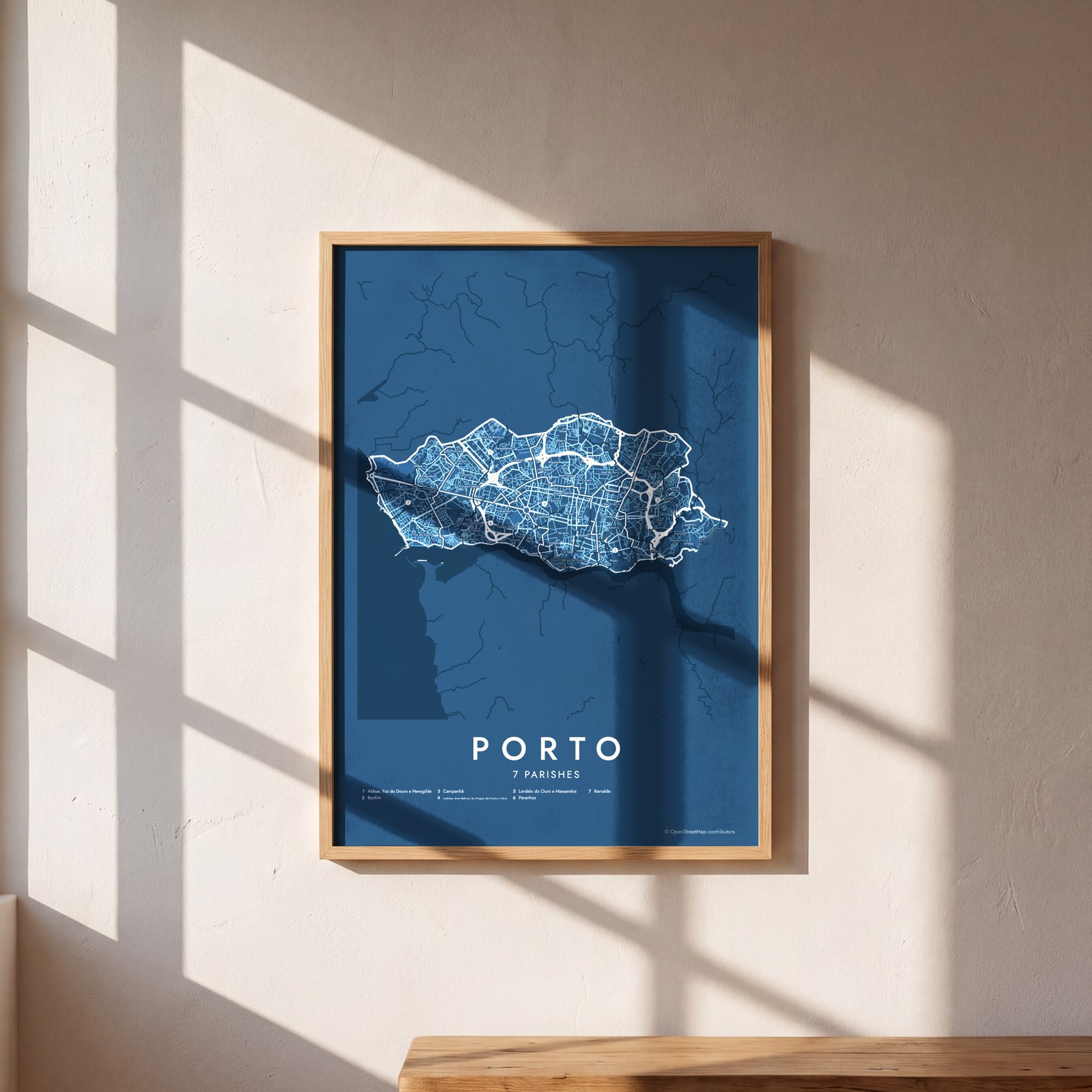 Porto street map with numbered parishes and their listEdit this →
Examples
Open any of them to change the words, the place, the date and the style, then download the print file.
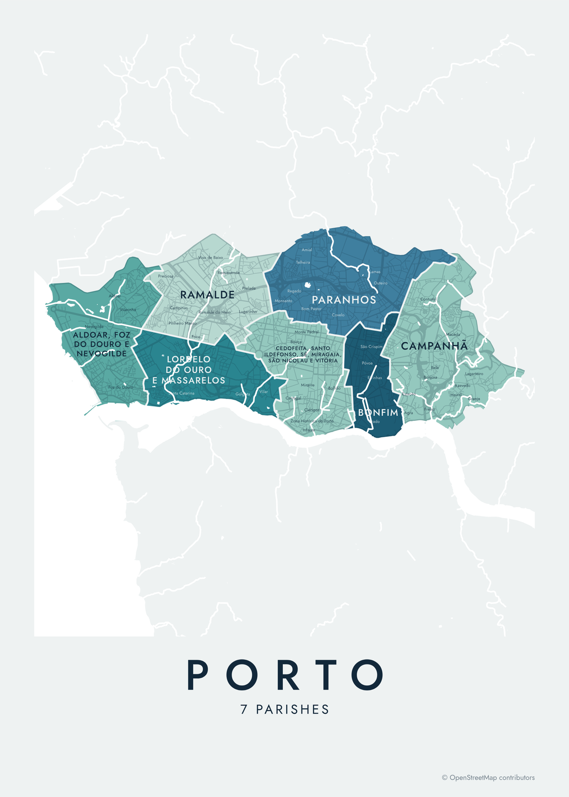 Porto neighborhood map in color, every parish namedEdit this →More neighborhood maps →
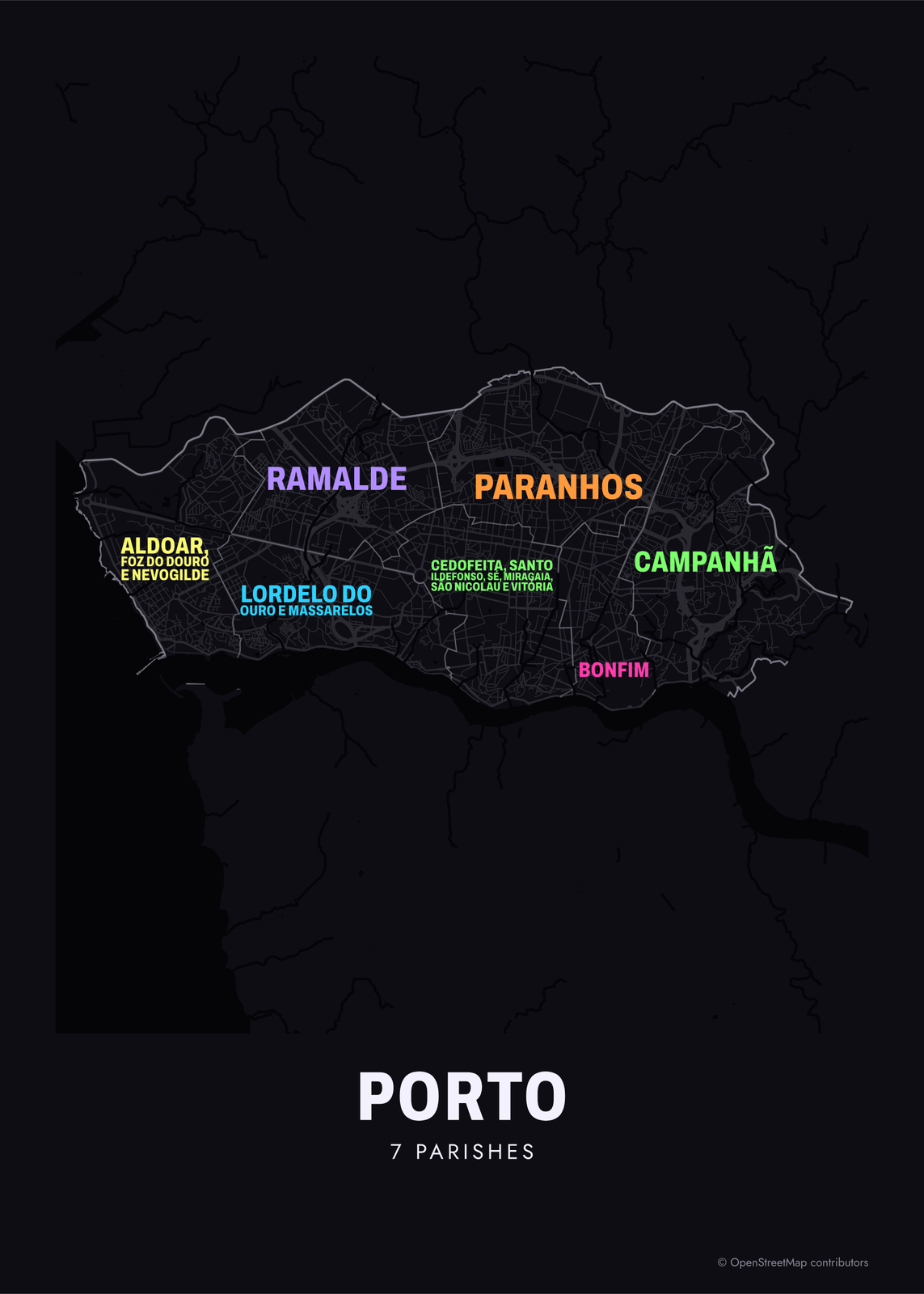 Typographic Porto map: the names fill their parishesEdit this →More neighborhood maps →
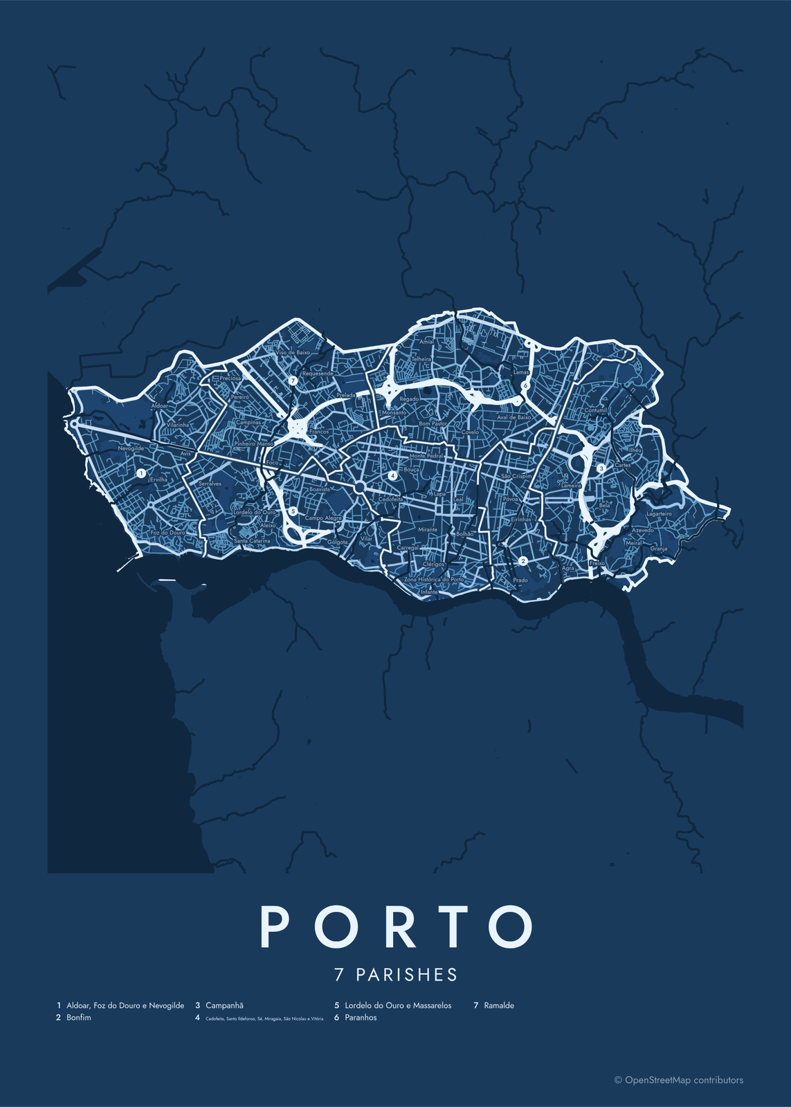 Porto street map with numbered parishes and their listEdit this →More neighborhood maps →
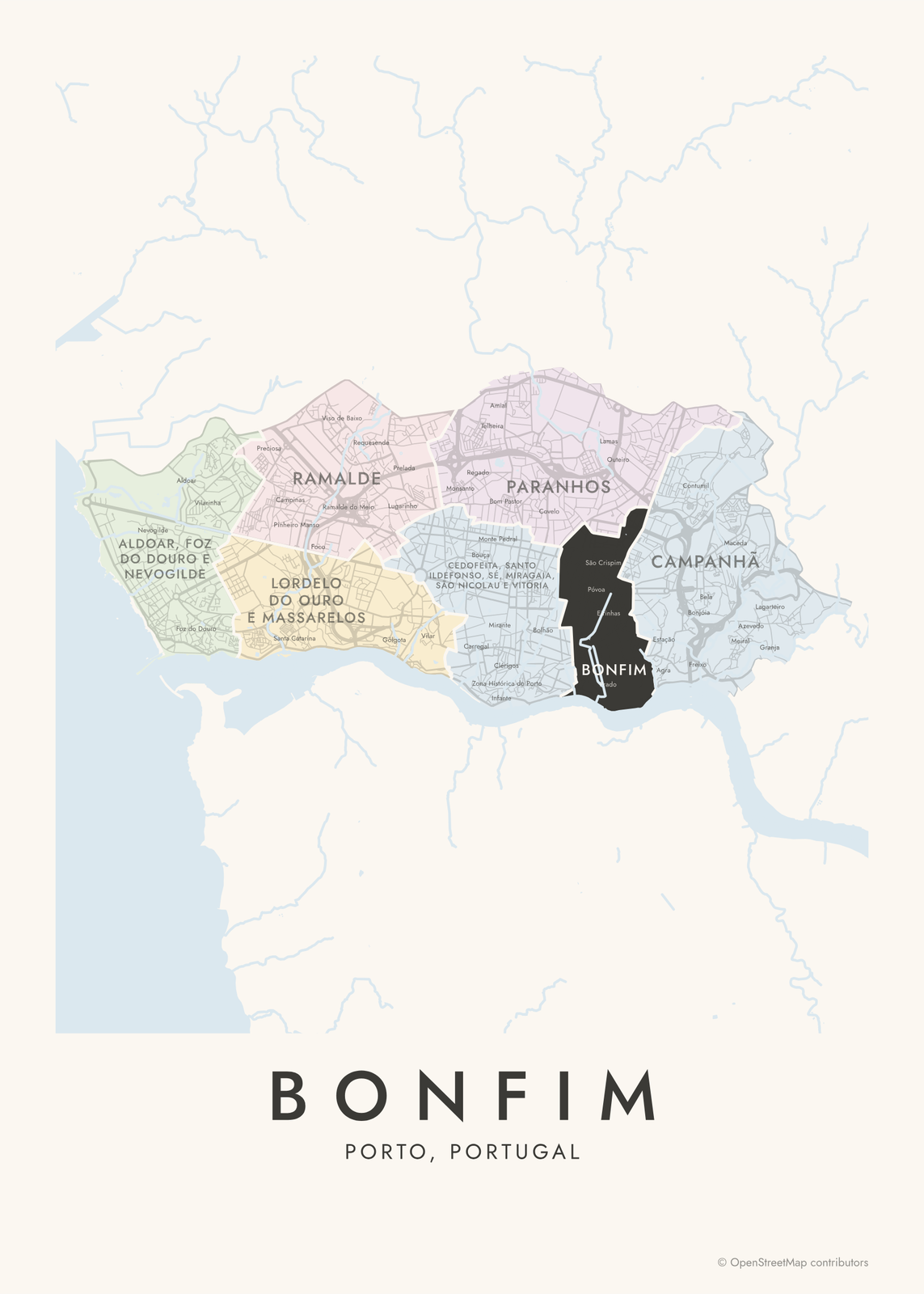 Bonfim highlighted on a map of PortoEdit this →More neighborhood maps →
How Porto is divided
Porto is split into 7 freguesias, the civil parishes that are Portugal's smallest unit of local government. Until 2013 there were 15. A national reform that year merged several of them, which is why some parishes carry long joint names. The whole historic center is now one parish: Cedofeita, Santo Ildefonso, Sé, Miragaia, São Nicolau e Vitória. Bonfim, Campanhã, Paranhos and Ramalde kept their old borders.
People still use the old parish names, and many smaller place names too: Ribeira on the river, Boavista around its long avenue, Foz where the Douro meets the sea. The map prints more than 180 of them as labels inside their parish. It covers the municipality of Porto only. Vila Nova de Gaia across the river and Matosinhos up the coast are separate municipalities.
All 7 parishes of Porto
- Aldoar, Foz do Douro e Nevogilde
- Bonfim
- Campanhã
- Cedofeita, Santo Ildefonso, Sé, Miragaia, São Nicolau e Vitória
- Lordelo do Ouro e Massarelos
- Paranhos
- Ramalde
More neighborhood names on the map
Inside the parishes, the map also names 183 smaller neighborhoods where they fit, from OpenStreetMap: Nevogilde, Aldoar, Foz do Douro, Lordelo do Ouro, Massarelos, Cedofeita, Zona Histórica do Porto, Centro Histórico do Porto, Conjunto Urbano da Ribeira, Ribeira, Castelo do Queijo, Anémona, Carreiros, Monte da Luz, Cadouços, Passeio Alegre, Passos, Ervilha, Burgal, Vilarinha, Vila Nova de Aldoar, Cristo-Rei, Cantareira, Avis, Pinhais da Foz, Martim Moniz, Pedra Verde, Sobreiras, Revilão, Serralves, Fonte da Moura, Salazares, Lidador, Pasteleira, Preciosa, Pereiró, Mouteira, Campinas, Santa Catarina, Pinheiro Manso and more. Turn them off under Names if you want only the parishes.
Neighborhoods to know
- Ribeira: the riverfront quarter on the Douro, part of the historic center listed by UNESCO in 1996.
- Sé: the hilltop around Porto Cathedral, the oldest part of the city.
- Clérigos: named for the Clérigos Church and its tall baroque bell tower.
- Bolhão: home of the Mercado do Bolhão, the city's historic food market.
- Boavista: the Avenida da Boavista and Casa da Música, the concert hall at its roundabout.
- Serralves: the Serralves museum of contemporary art, with its park and Art Deco villa.
- Foz do Douro: where the Douro meets the Atlantic, with a long seafront promenade.
- Campanhã: the eastern parish, with Campanhã railway station and FC Porto's Estádio do Dragão.
How to make your Porto neighborhood poster
- Open the Porto map.
- Pick a style: Colored areas, Typographic (the names fill the map) or a Street map with the borders over the streets.
- Tap your own neighborhood to highlight it; it becomes the poster's title.
- Drag and zoom to frame the whole city or just your part of it, then pick a size and download the print file.
Questions
How many parishes does Porto have?
Seven, since a 2013 reform merged the city's 15 old parishes. The old names, like Foz do Douro, Massarelos and Sé, are still in everyday use, and they print on this map as labels.
What is a freguesia?
A freguesia is a civil parish, the smallest unit of local government in Portugal, below the municipality. Each one has its own elected parish council, the junta de freguesia.
Which parish is Ribeira in?
Ribeira is in the central parish of Cedofeita, Santo Ildefonso, Sé, Miragaia, São Nicolau e Vitória, which covers the whole historic center. It's a neighborhood, not a parish of its own.
Is Vila Nova de Gaia part of Porto?
No. Vila Nova de Gaia is a separate city on the south bank of the Douro, where the port wine cellars are. This map shows the municipality of Porto, on the north bank.
Where do the Porto boundaries come from?
From OpenStreetMap (© OpenStreetMap contributors). Streets and water are OpenStreetMap's. Boundaries are a snapshot and can differ from what neighbors call home; tell us if one looks wrong.
What sizes can I print?
US Letter, 8 × 10, 11 × 14, 12 × 16 and 12 × 18 in, A4 and A3, free. You download a 300 DPI JPEG drawn at the size you pick. Larger prints, up to 24 × 36 in, are coming soon.
Related

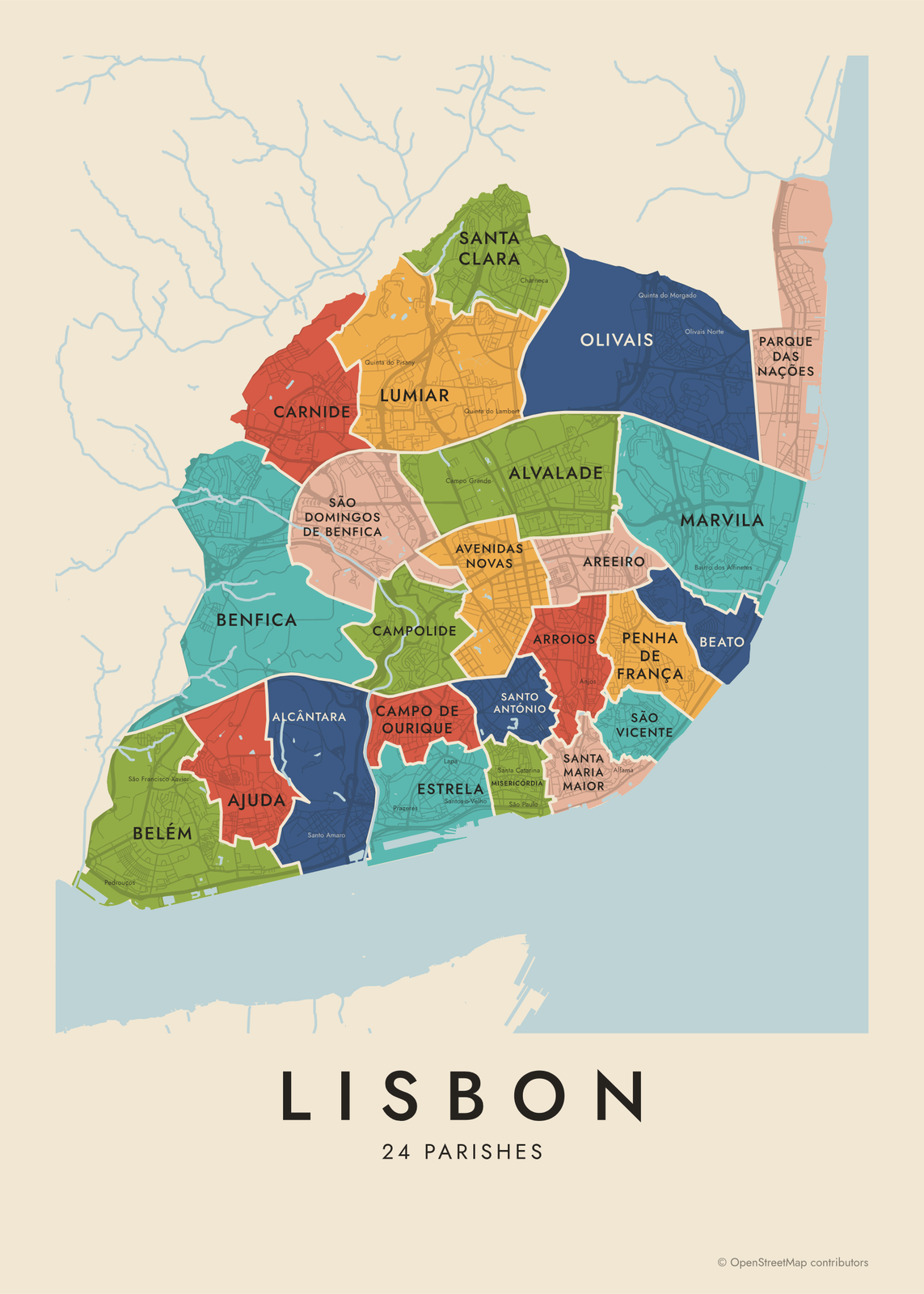
Gift ideas by occasion




Every example is made with the Posterage generators. Change anything, then download it as a 300 DPI JPEG.