Austin map poster the river, the grid and the hills to the west
Draw Austin as clean line art: Lady Bird Lake across the middle, the old downtown grid above it and the hills rising to the west. Center it on South Congress, on your street or on the whole city, then print it from A4 to 24 × 36 in.
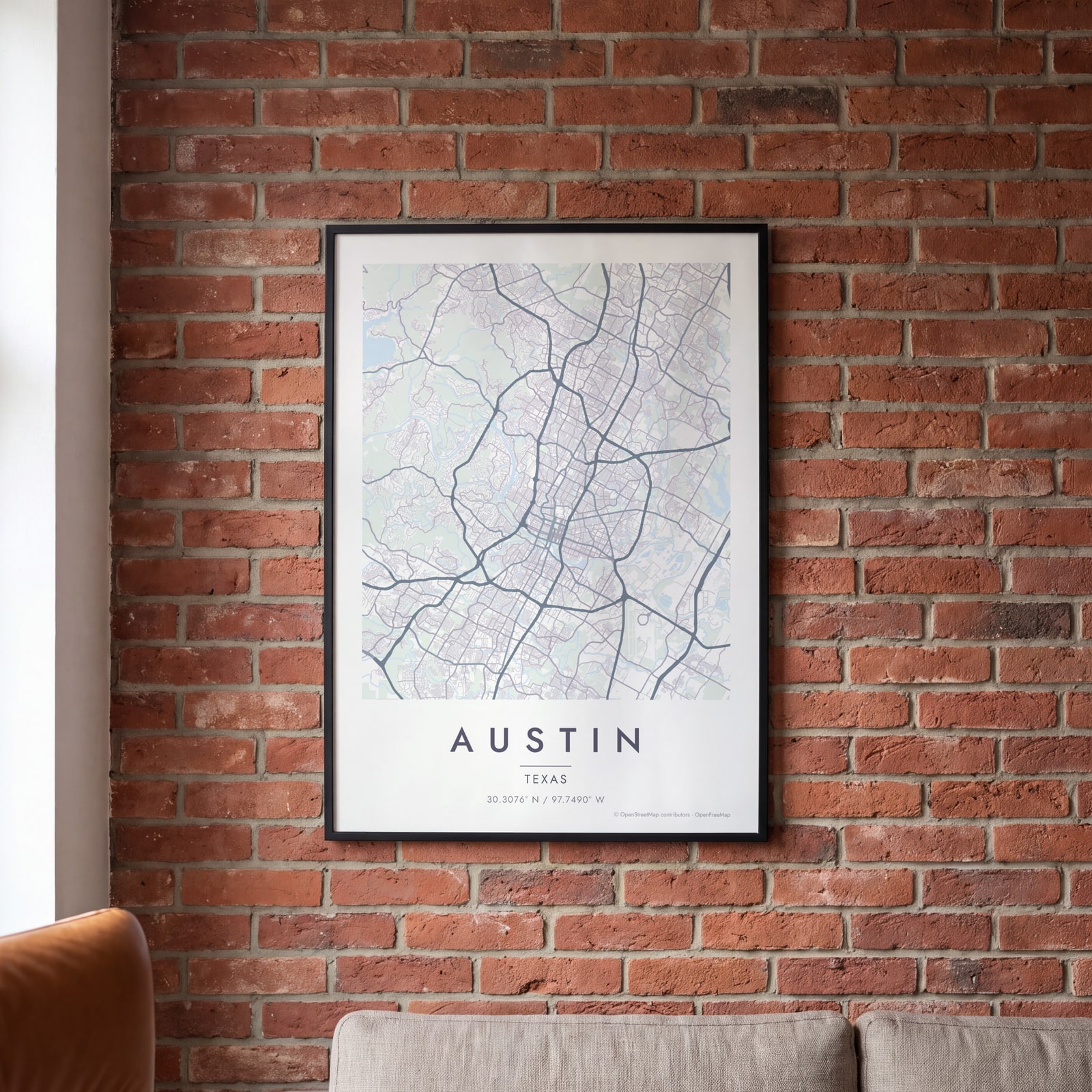
On the wall
A few of them framed at home. Open any one to make it yours.
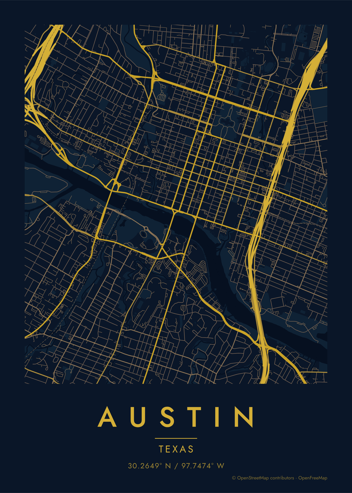
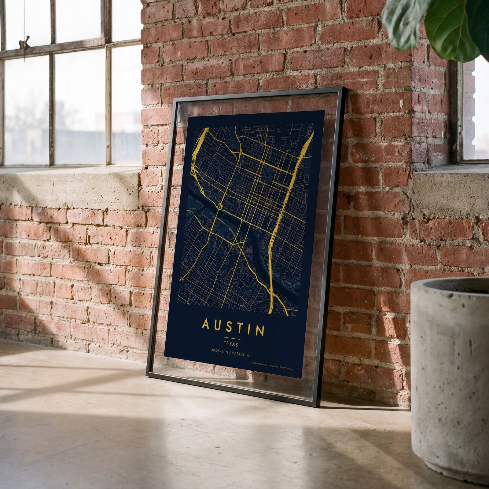 Midnight blue street map of central AustinEdit this →
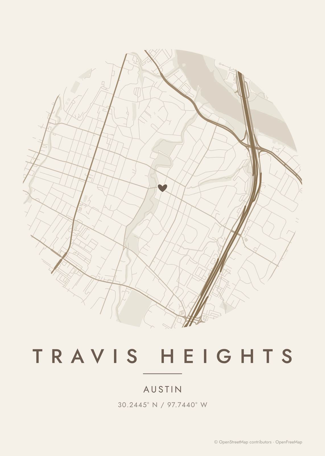
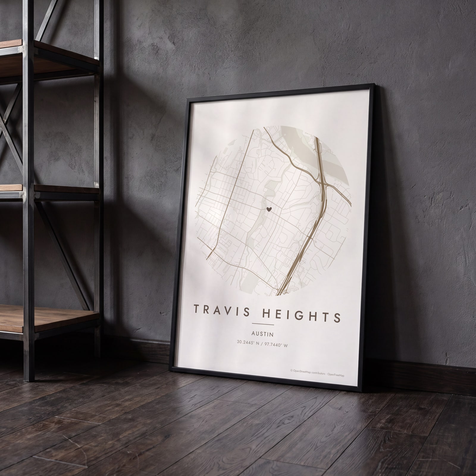 Round map of Travis Heights, Austin, with a heartEdit this →
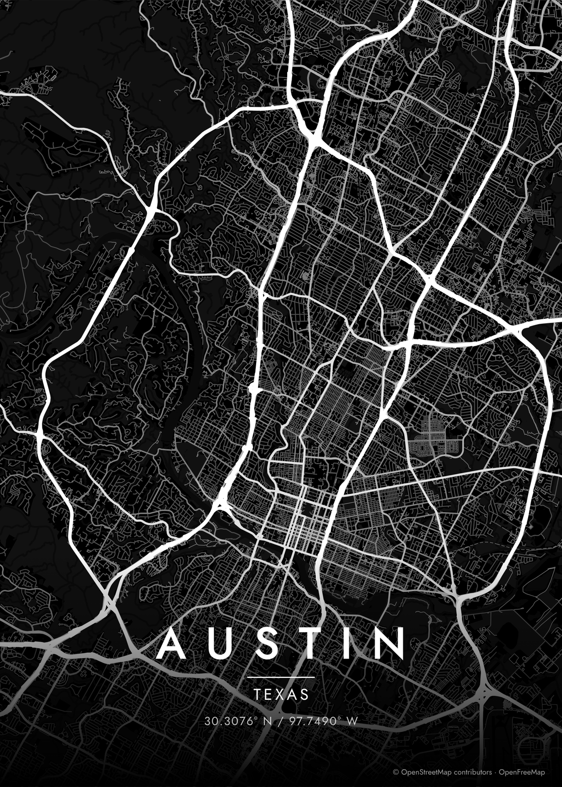
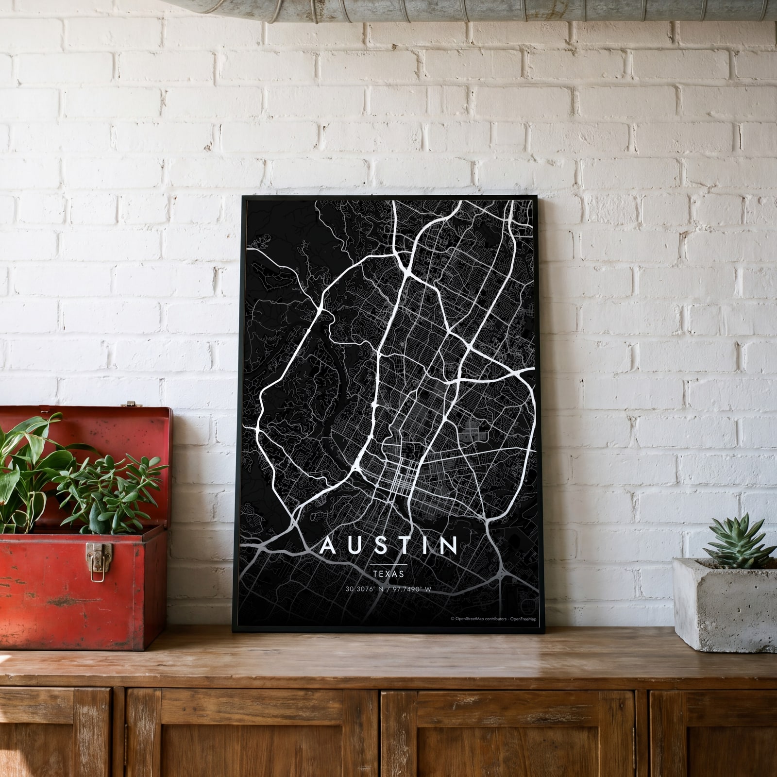 Austin streets in white on black, edge to edgeEdit this →
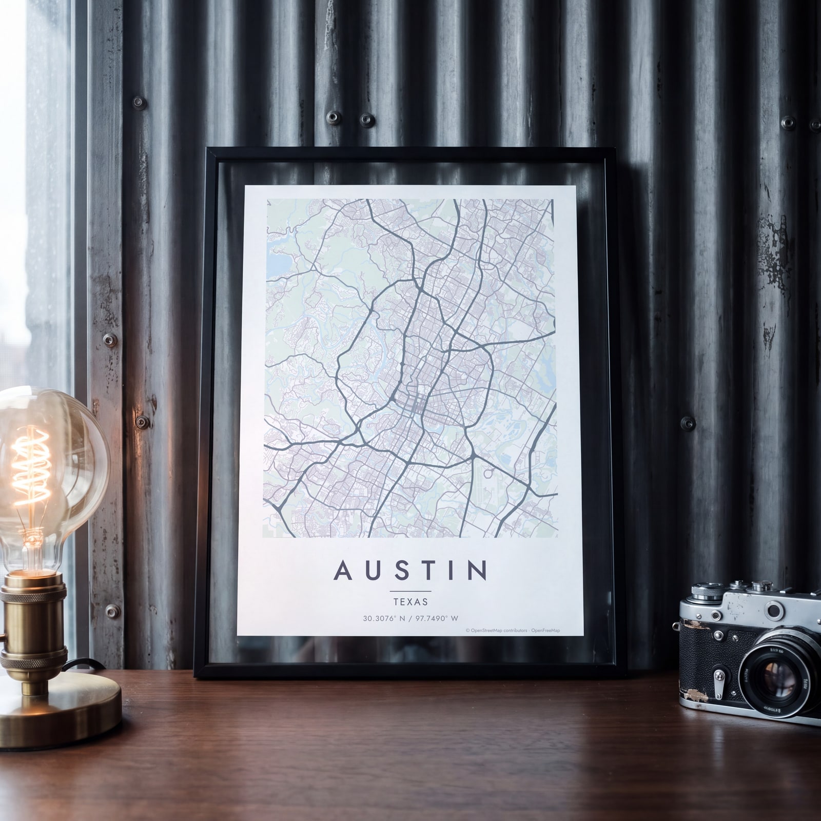 Austin map poster: the whole city's streets, water and parksEdit this →
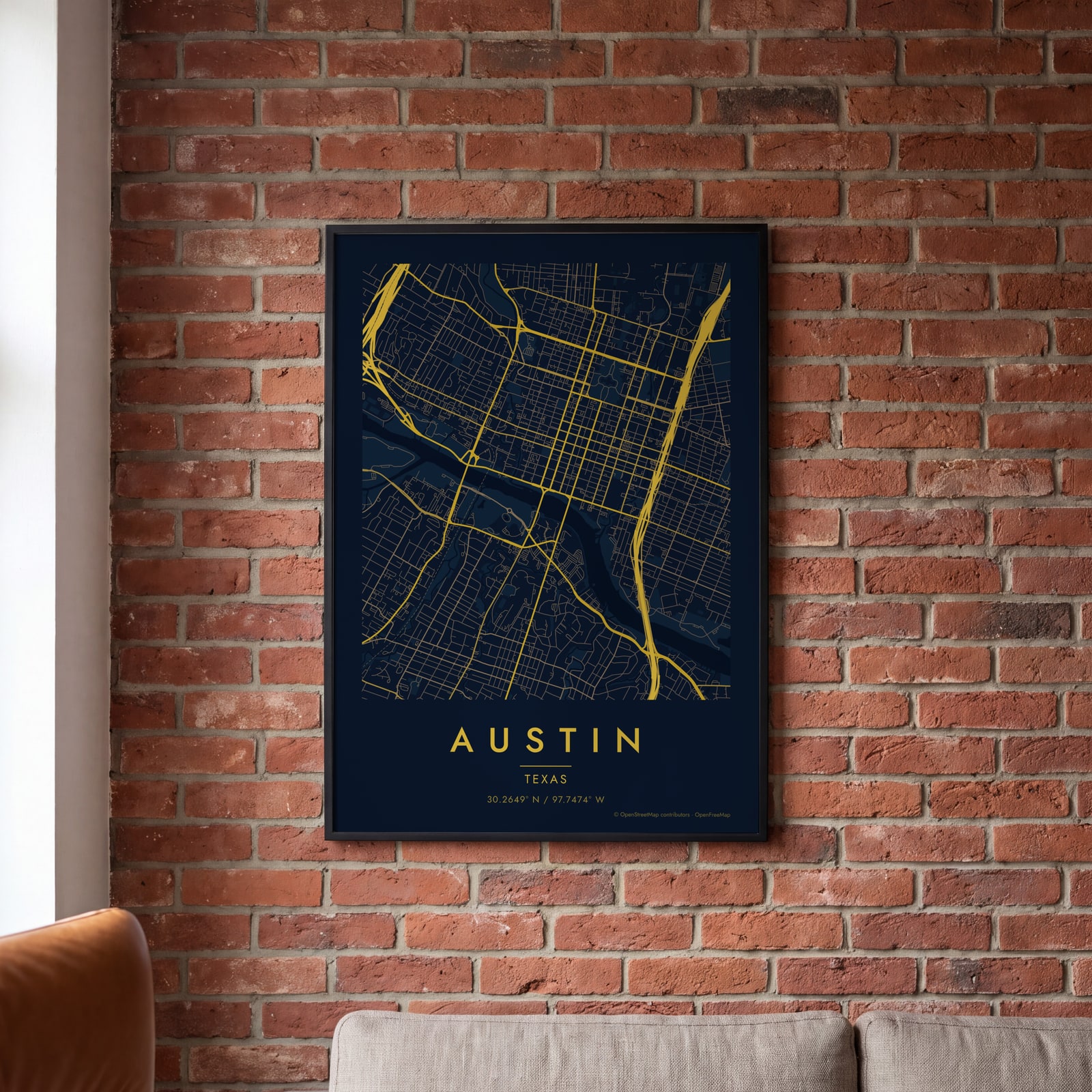 Midnight blue street map of central AustinEdit this →
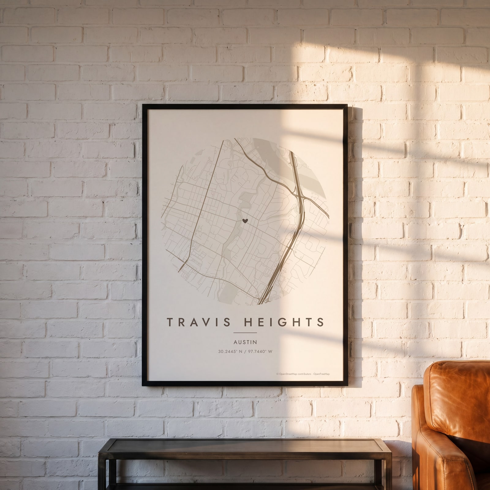 Round map of Travis Heights, Austin, with a heartEdit this →
Examples
Open any of them to change the words, the place, the date and the style, then download the print file.
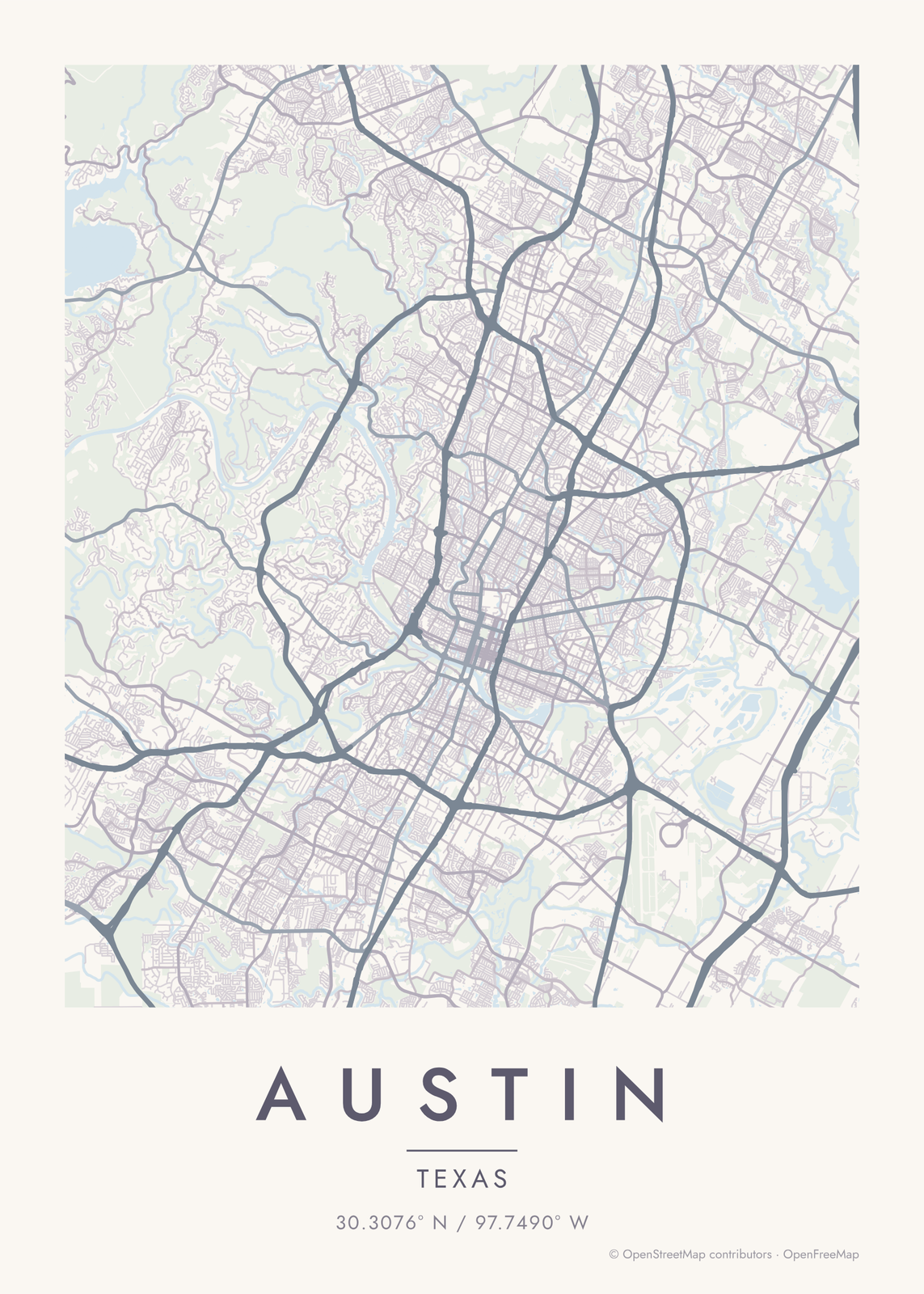
How Austin's streets are laid out
Austin started in 1839 as a planned square mile on the north bank of the Colorado River, between Shoal Creek and Waller Creek. Edwin Waller's grid, 14 blocks each way with Congress Avenue running up to the Capitol, is still downtown. Its north-south streets are named for Texas rivers, in roughly the order the rivers lie across the state.
The river, held back as Lady Bird Lake downtown and Lake Austin upstream, cuts the city in two. To the west the land climbs into the Hill Country, and roads curl around ridges and creeks. To the east it flattens and the streets fall back into a grid. Zilker Park, with Barton Springs, sits on the south bank just west of downtown.
Places to frame
- South Congress: the long avenue running south from the river.
- Travis Heights: hilly streets just east of South Congress.
- Zilker: the park, Barton Springs and the streets around them.
- Hyde Park: old streets north of the university.
- Clarksville: small old streets west of downtown.
- East Austin: the blocks just east of I-35.
- Mueller: the neighborhood built on the old airport.
Other ways to draw Austin
Road map art draws every road of Austin in a single color, as a dense line portrait of the whole city.
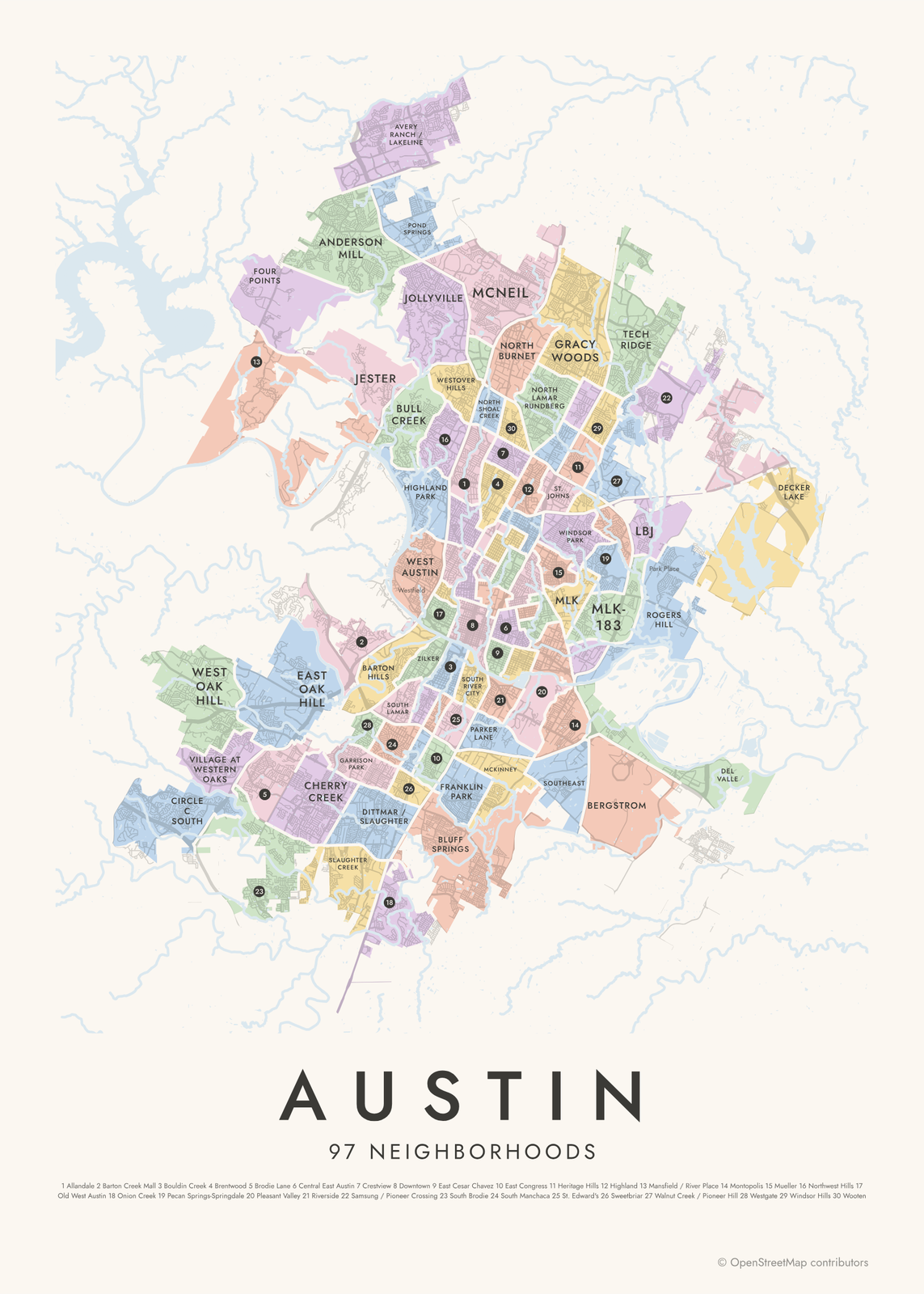
The Austin neighborhood map names every part of the city: all 97 neighborhoods, each in its own color, with yours highlighted if you like.
How to make your Austin map
- Open the Austin map, or search any street, neighborhood or address.
- Drag to center it and zoom to set how much it shows, from a few blocks to the whole city.
- Pick colors and a shape: framed, edge to edge or a circle; add a heart, a pin or a dot at the center.
- Write a title and a line under it, or keep the city's name, then download the print file.
Questions
Which part of Austin should I put on the map?
Center it downtown for the river and the grid together, or zoom into the neighborhood that's yours: Hyde Park, Travis Heights, Mueller. A close map shows single blocks, and a wide one shows the lakes and the hills.
Does the map show Lady Bird Lake and Lake Austin?
Yes. Water is a layer, on by default, so Lady Bird Lake and Lake Austin draw in as one long ribbon across the map.
Can I mark where we met?
Yes. Search the address or the place, center the map on it and add a heart, a pin or a dot. Write the date or the place's name in the subtitle.
Where does the map data come from?
From OpenStreetMap, the open map built by volunteers. Its credit line prints small in the corner of every map.
What sizes can I print?
US Letter, 8 × 10, 11 × 14, 12 × 16 and 12 × 18 in, A4 and A3, free. You download a 300 DPI JPEG drawn at the size you pick. Larger prints, up to 24 × 36 in, are coming soon.
Related
Gift ideas by occasion




Every example is made with the Posterage generators. Change anything, then download it as a 300 DPI JPEG.