Barcelona map poster a grid of cut-corner blocks between the hills and the sea
Draw Barcelona as clean line art: the Eixample's grid of blocks with cut corners, the old town's tangle by the port and the long, straight coast. Center it on Gràcia, on your street or on the whole city, then print it from A4 to 24 × 36 in.
On the wall
A few of them framed at home. Open any one to make it yours.
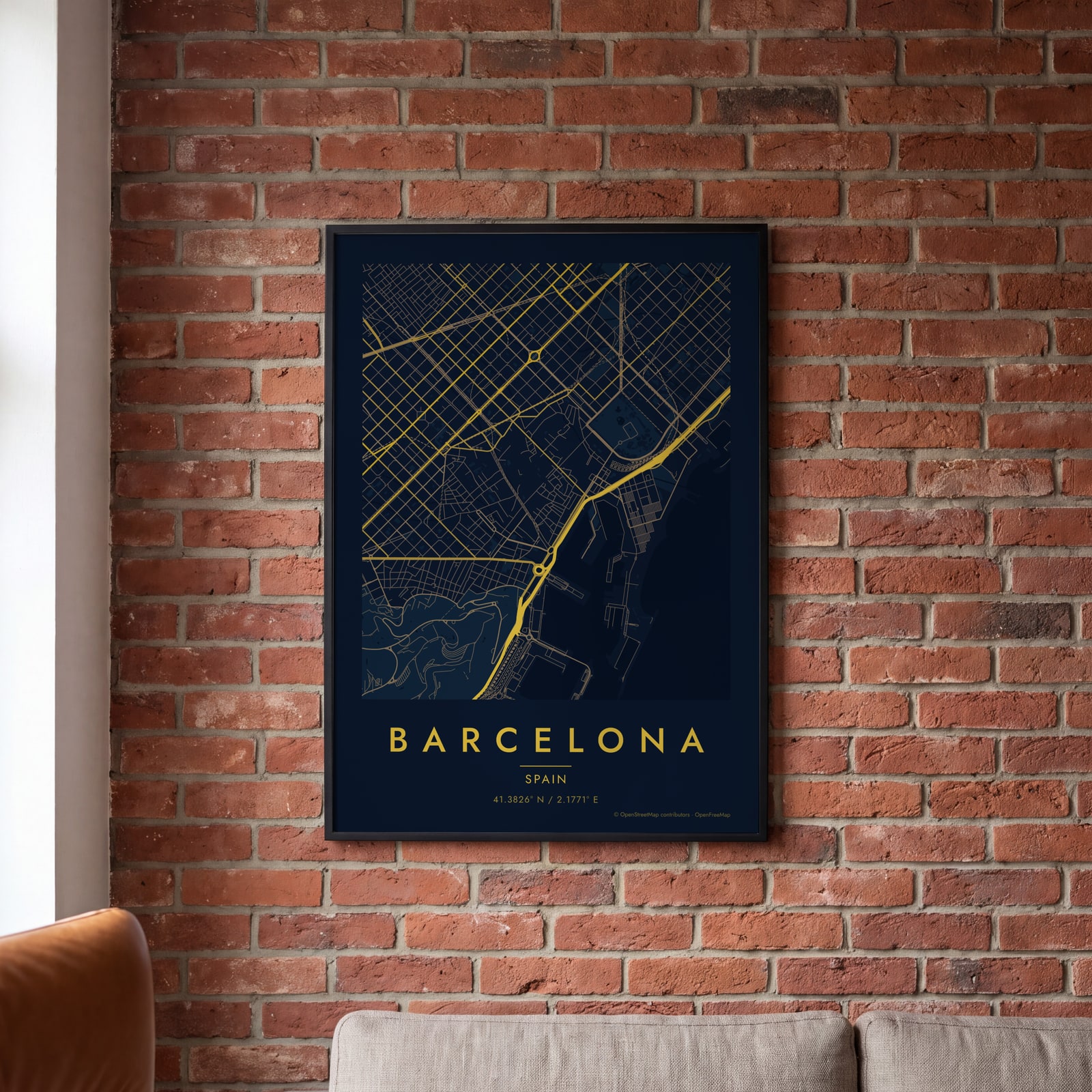 Midnight blue street map of central BarcelonaEdit this →
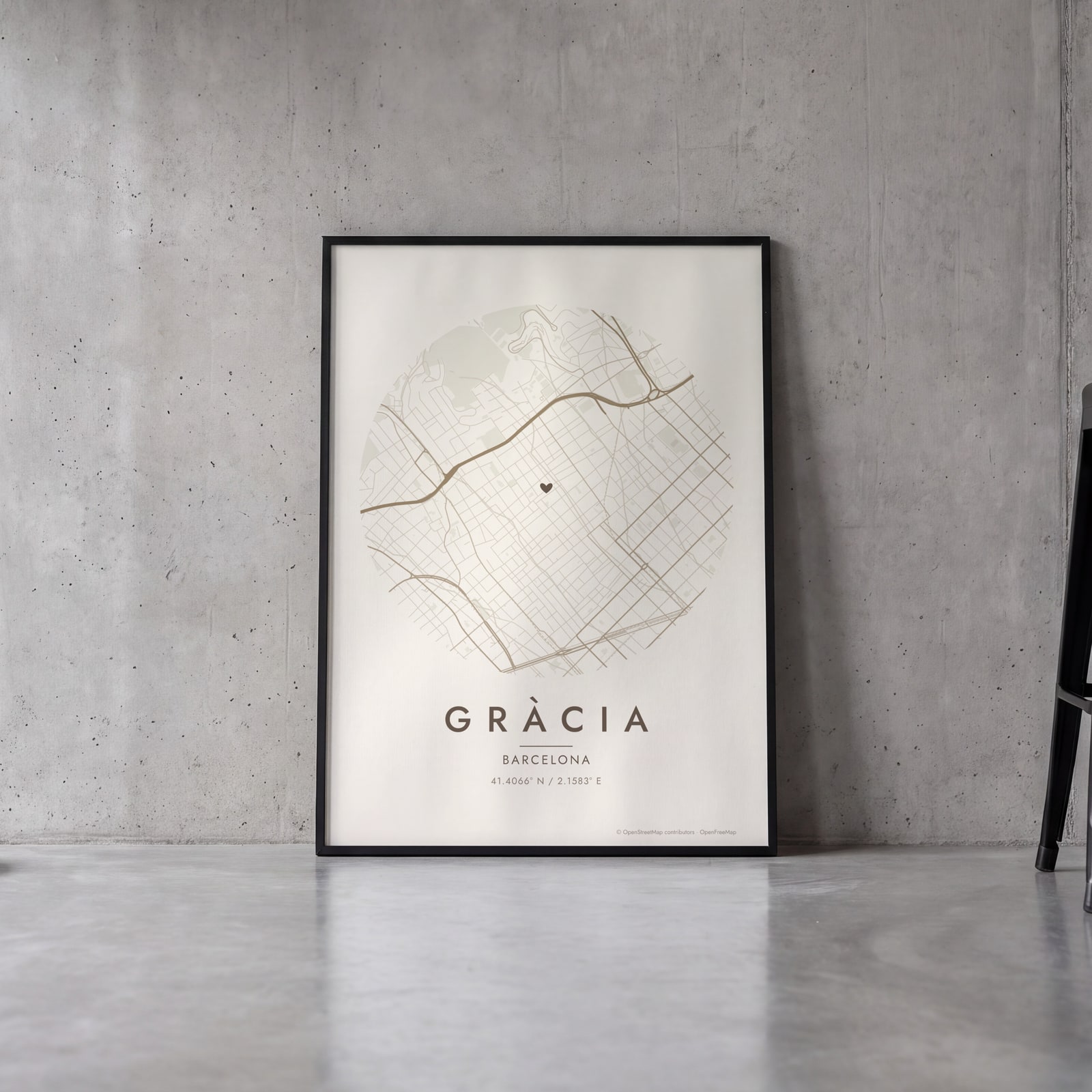 Round map of Gràcia, Barcelona, with a heartEdit this →
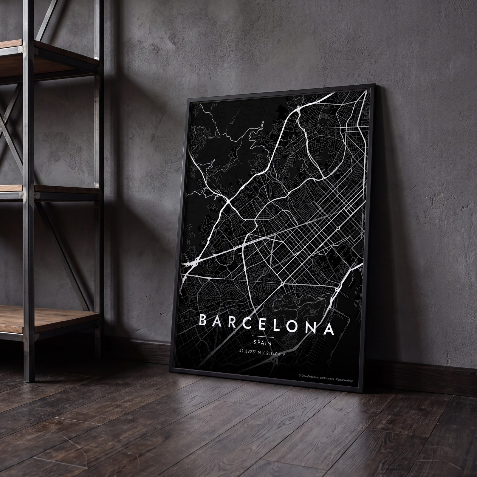 Barcelona streets in white on black, edge to edgeEdit this →
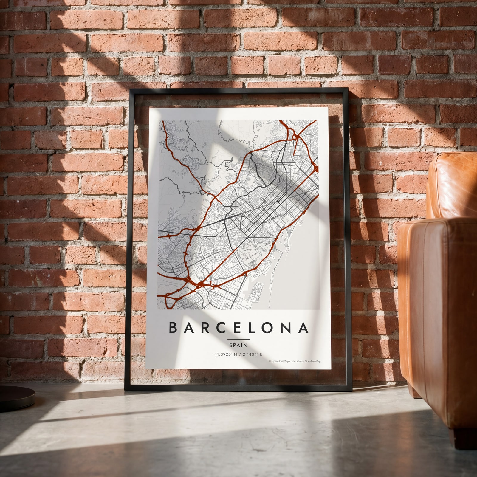
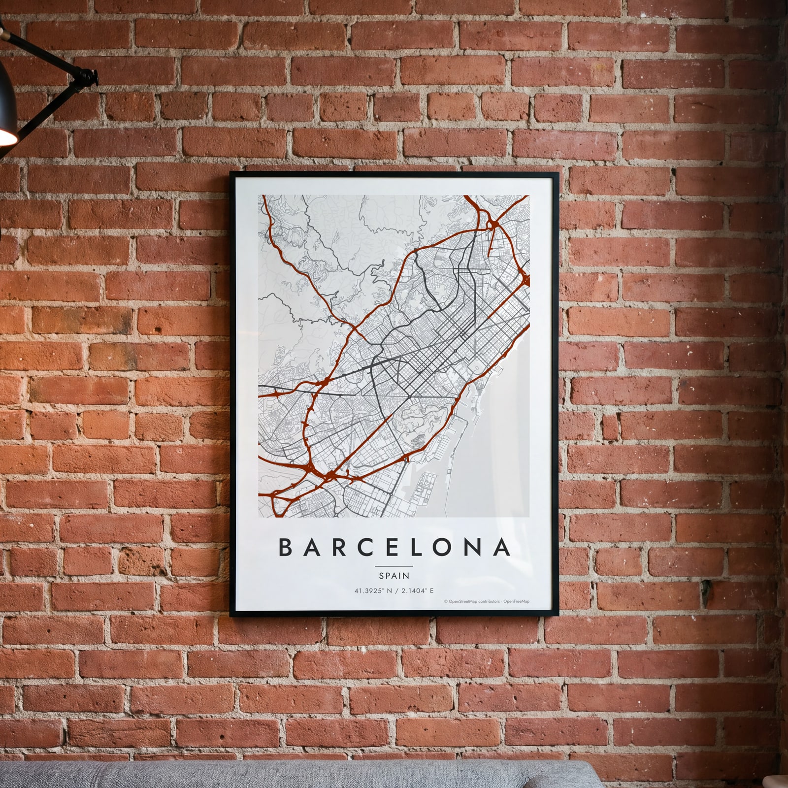 Barcelona map poster: the whole city's streets, water and parksEdit this →
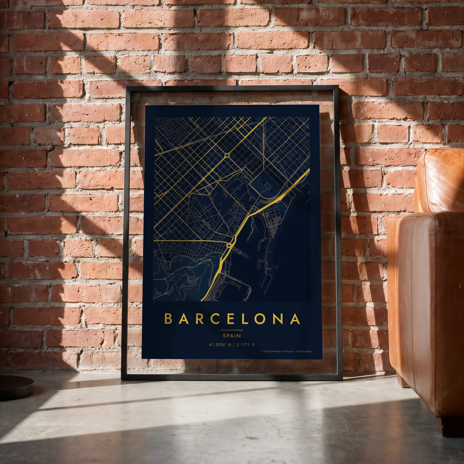 Midnight blue street map of central BarcelonaEdit this →
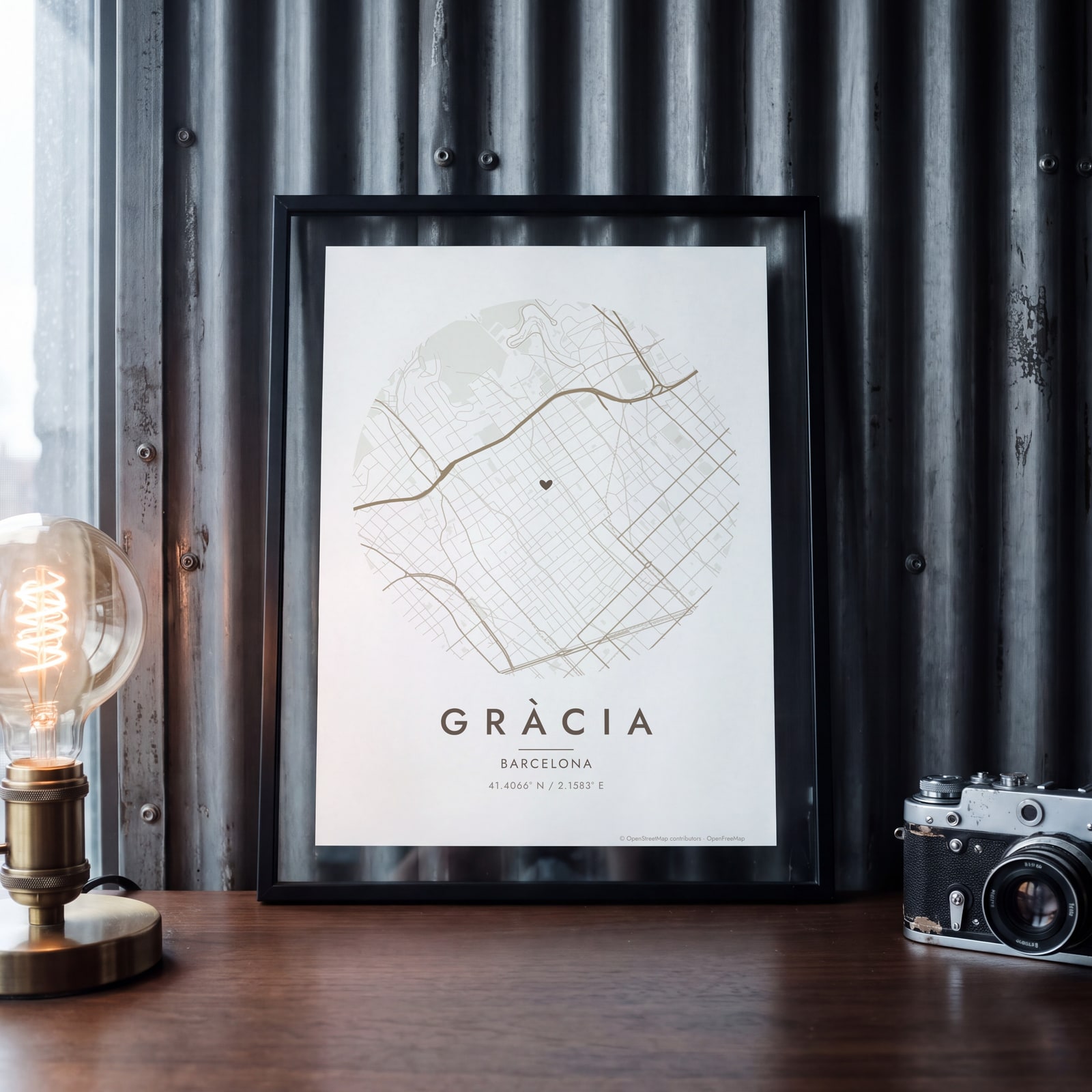 Round map of Gràcia, Barcelona, with a heartEdit this →
Examples
Open any of them to change the words, the place, the date and the style, then download the print file.
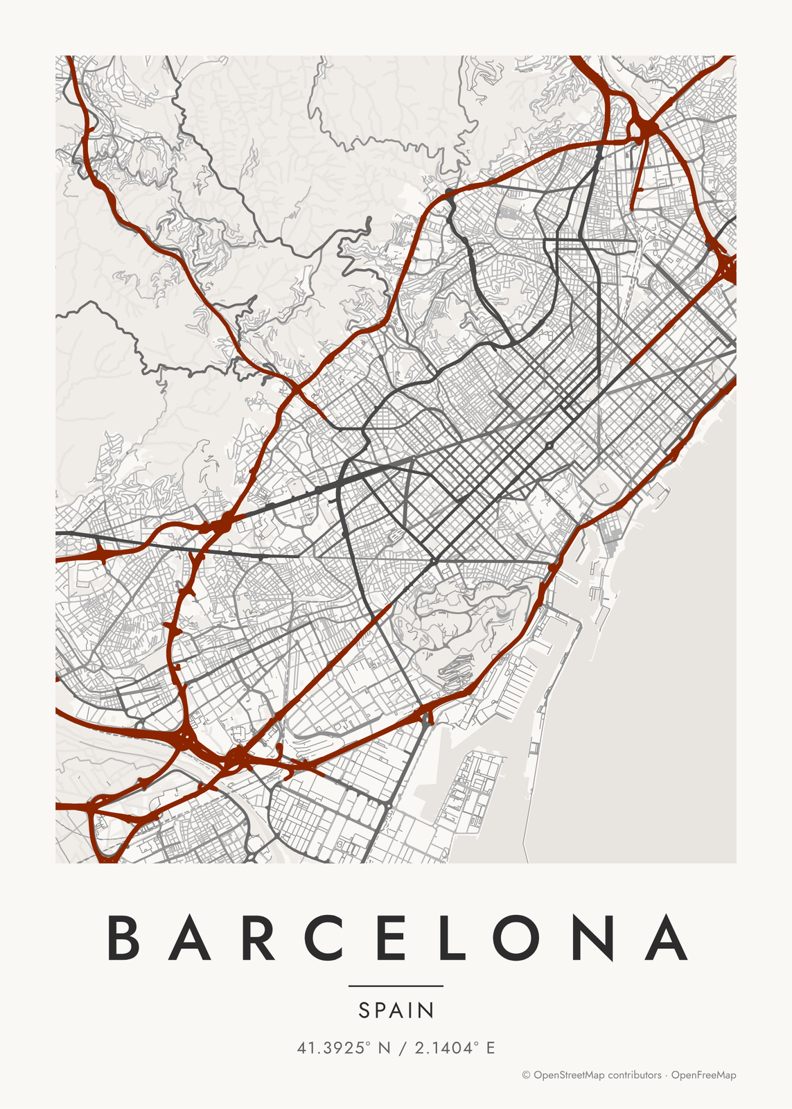 Barcelona map poster: the whole city's streets, water and parksEdit this →More map art →
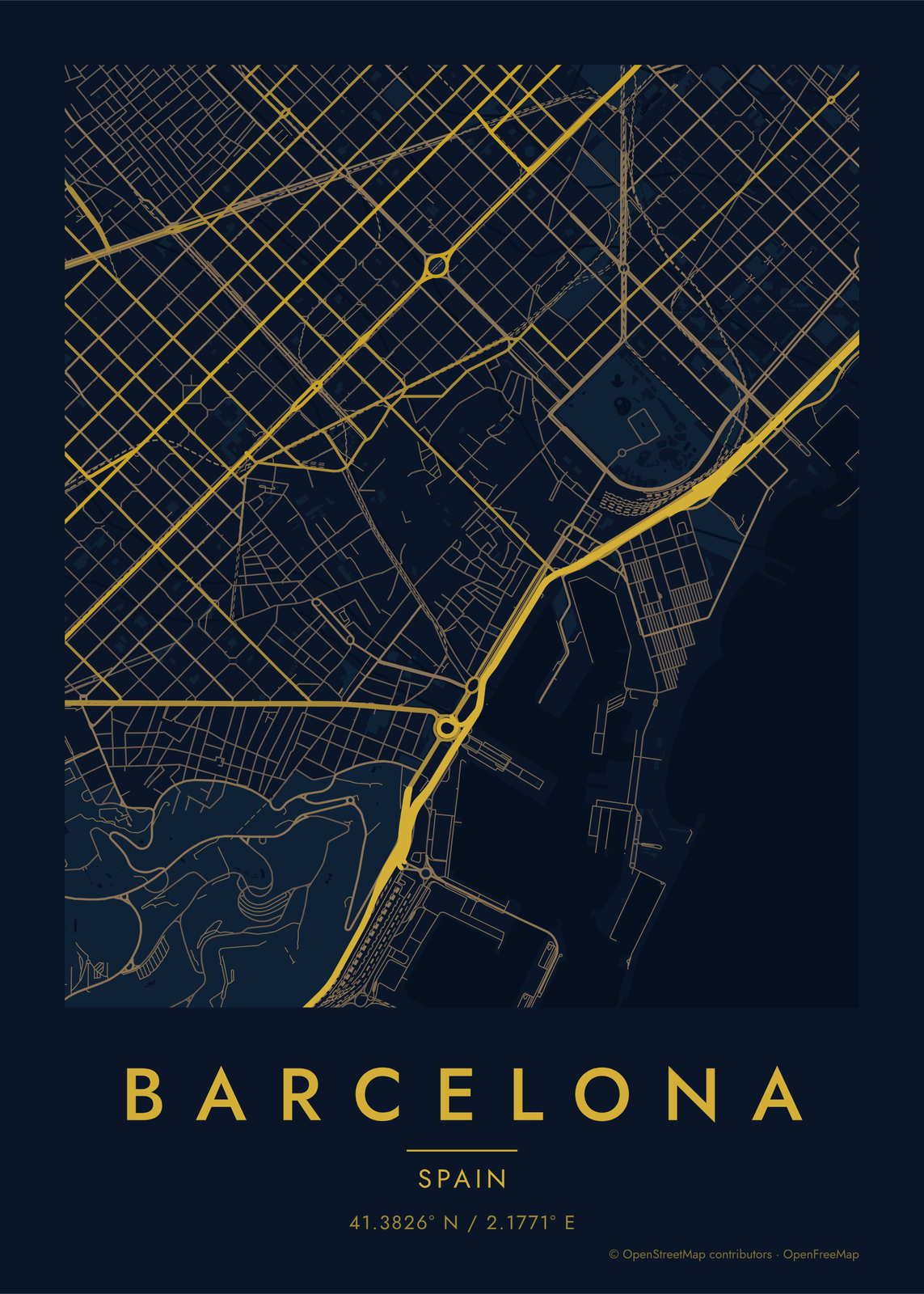 Midnight blue street map of central BarcelonaEdit this →More map art →
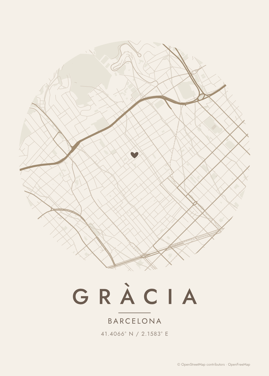 Round map of Gràcia, Barcelona, with a heartEdit this →More map art →
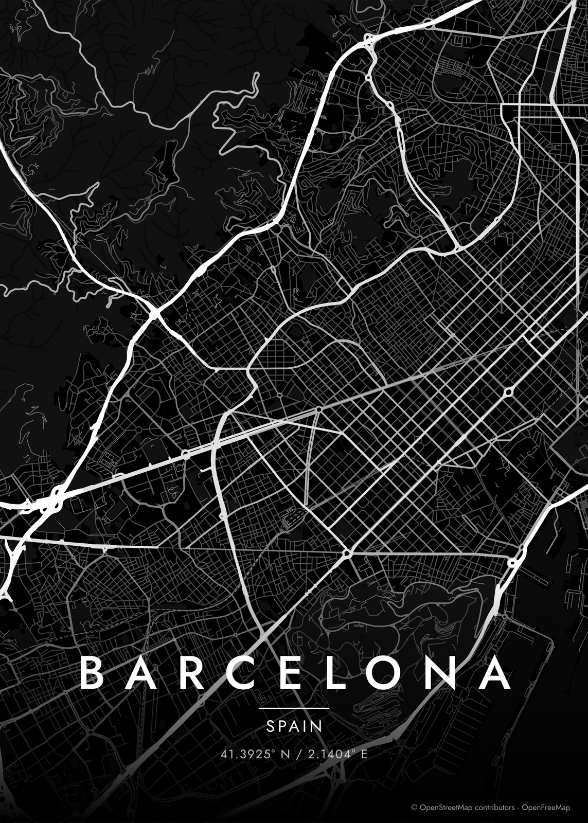 Barcelona streets in white on black, edge to edgeEdit this →More map art →
How Barcelona's streets are laid out
Ildefons Cerdà's 1859 plan laid out the Eixample as a grid of square blocks with their corners cut off, so every crossing opens into a small octagon. Avinguda Diagonal slices across the grid at an angle, and Gran Via runs straight through it. From above, it is the first thing you notice.
Around the grid, older patterns show. Ciutat Vella, the old town by the port, is a dense knot of lanes, and Gràcia and Sarrià were once separate towns with their own small streets. The city fills a strip between the sea and the Collserola hills, with Montjuïc rising by the port and the Llobregat and Besòs rivers at either end.
Places to frame
- Eixample: the grid itself, block after cut-corner block.
- Gràcia: small squares and narrow streets above the grid.
- Gothic Quarter: the oldest lanes, around the cathedral.
- El Born: old streets around Santa Maria del Mar.
- Barceloneta: long, narrow blocks on the point by the beach.
- Sant Antoni: the grid around the old market.
- Poblenou: old factory blocks near the sea.
Other ways to draw Barcelona
Road map art draws every road of Barcelona in a single color, as a dense line portrait of the whole city.
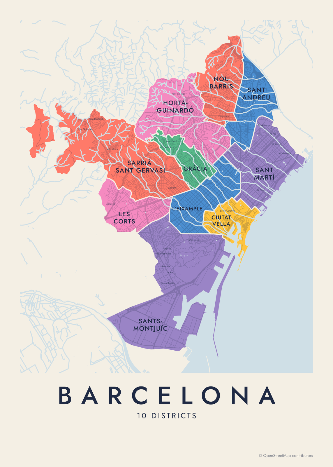
The Barcelona neighborhood map names every part of the city: all 10 districts or 73 neighborhoods, each in its own color, with yours highlighted if you like.
How to make your Barcelona map
- Open the Barcelona map, or search any street, neighborhood or address.
- Drag to center it and zoom to set how much it shows, from a few blocks to the whole city.
- Pick colors and a shape: framed, edge to edge or a circle; add a heart, a pin or a dot at the center.
- Write a title and a line under it, or keep the city's name, then download the print file.
Questions
Which part of Barcelona should I put on the map?
Center it on the Eixample to show the grid of cut-corner blocks, or zoom into Gràcia or El Born for one neighborhood's lanes. A wide map shows the whole city between the hills and the sea.
Does the map show the beach and the port?
Yes. The sea and the port basins draw as water, so the coastline is crisp. Parks are a layer too, so Montjuïc and the Ciutadella show as green.
Can I mark our street?
Yes. Search the address, center the map on it and add a heart, a pin or a dot. Put the street or a date in the subtitle.
Where does the map data come from?
From OpenStreetMap, the open map built by volunteers. Its credit line prints small in the corner of every map.
What sizes can I print?
US Letter, 8 × 10, 11 × 14, 12 × 16 and 12 × 18 in, A4 and A3, free. You download a 300 DPI JPEG drawn at the size you pick. Larger prints, up to 24 × 36 in, are coming soon.
Related
Gift ideas by occasion




Every example is made with the Posterage generators. Change anything, then download it as a 300 DPI JPEG.