Berlin map poster the Spree, the Tiergarten and the Ringbahn
Draw Berlin as clean line art: the Spree winding through the center, the big green Tiergarten and the lakes and forests at the edges. Center it on Kreuzberg, on your street or on the whole city, then print it from A4 to 24 × 36 in.
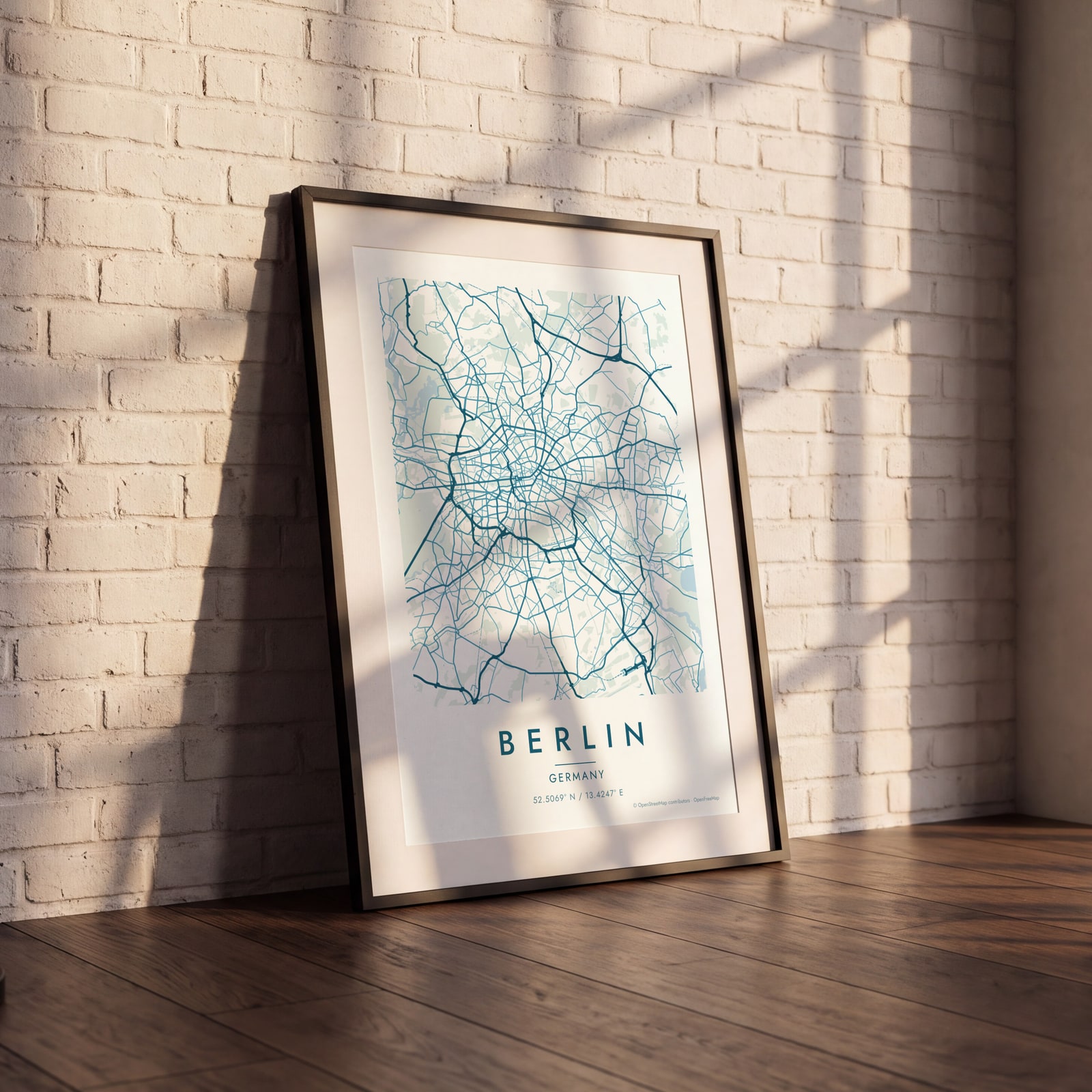
On the wall
A few of them framed at home. Open any one to make it yours.
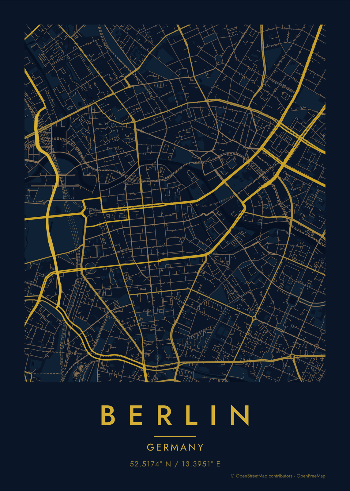
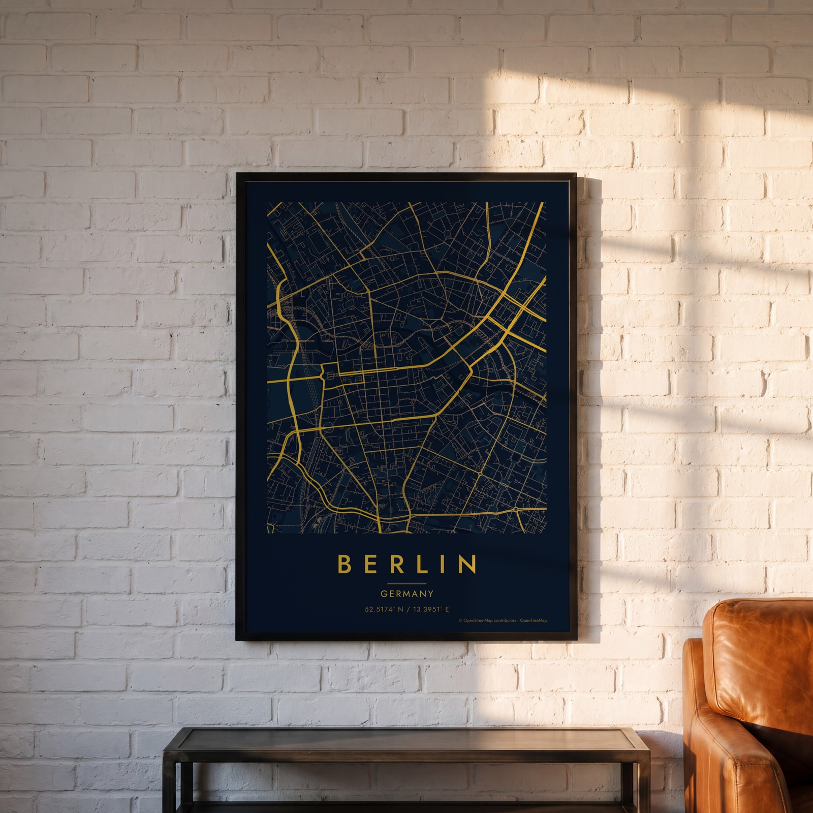 Midnight blue street map of central BerlinEdit this →
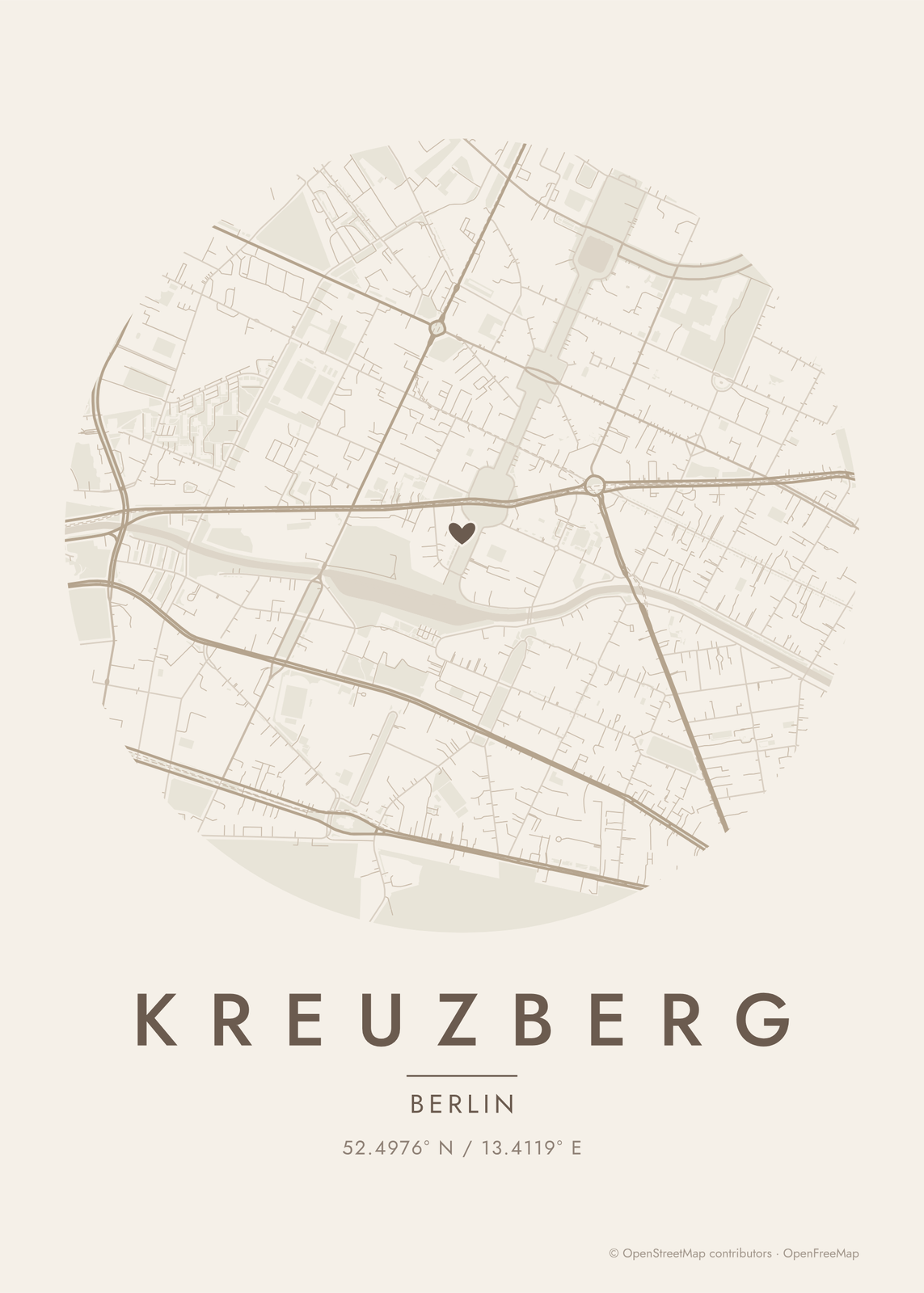
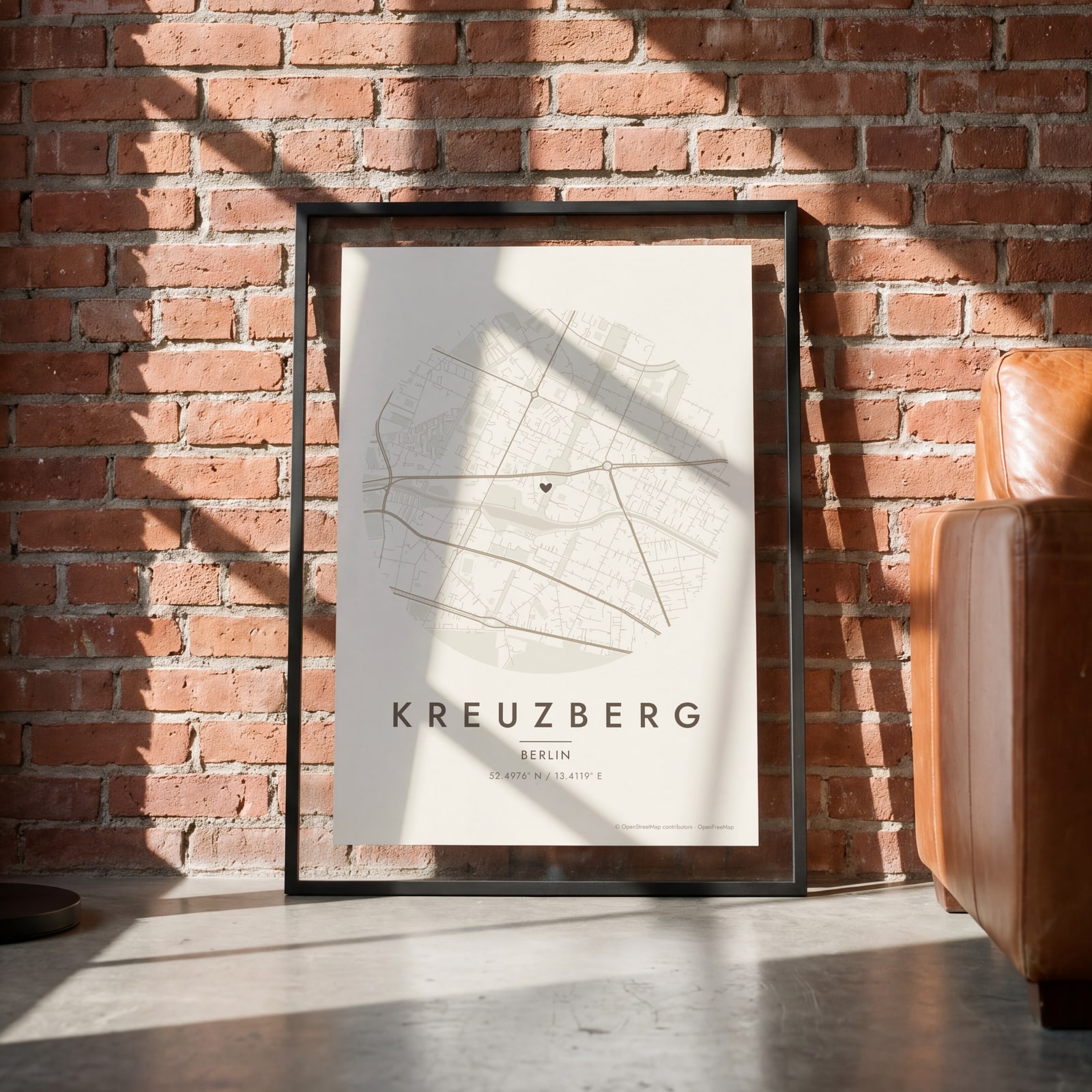 Round map of Kreuzberg, Berlin, with a heartEdit this →
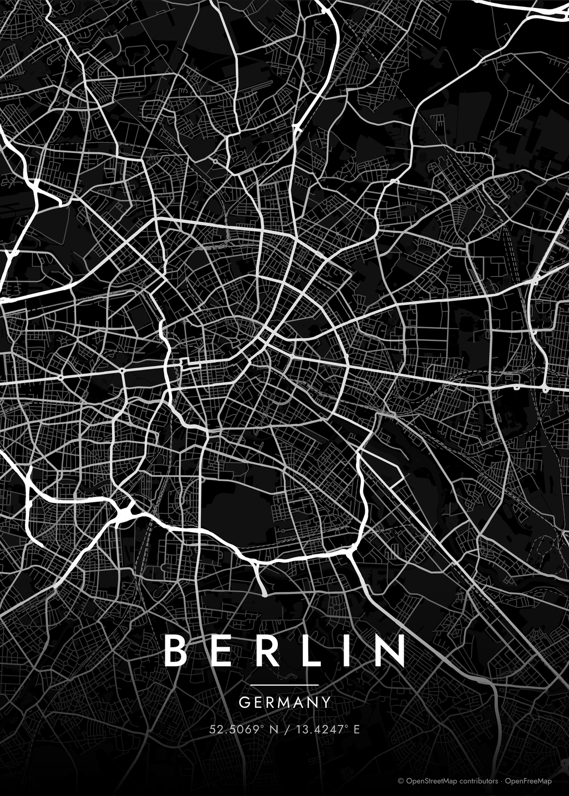
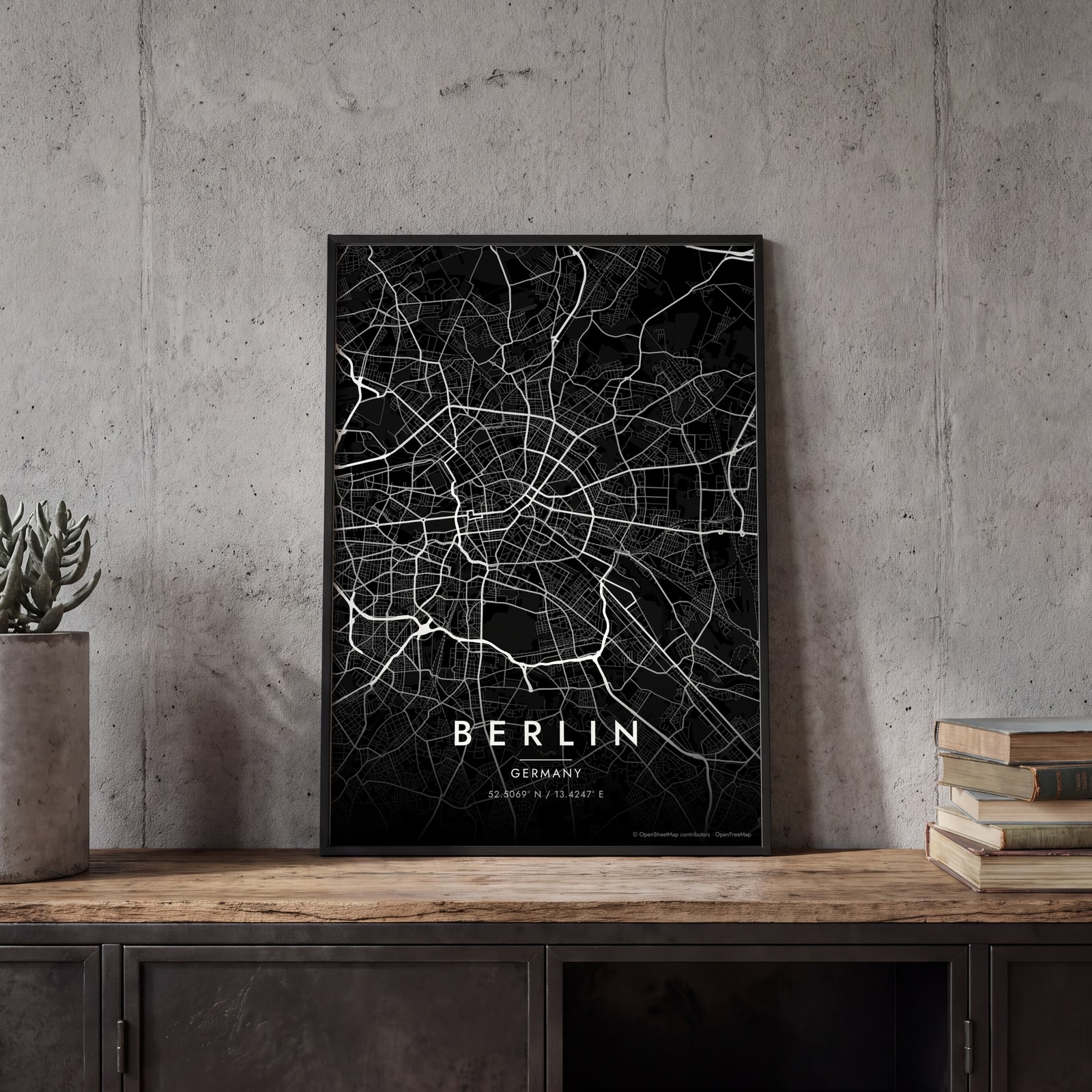 Berlin streets in white on black, edge to edgeEdit this →
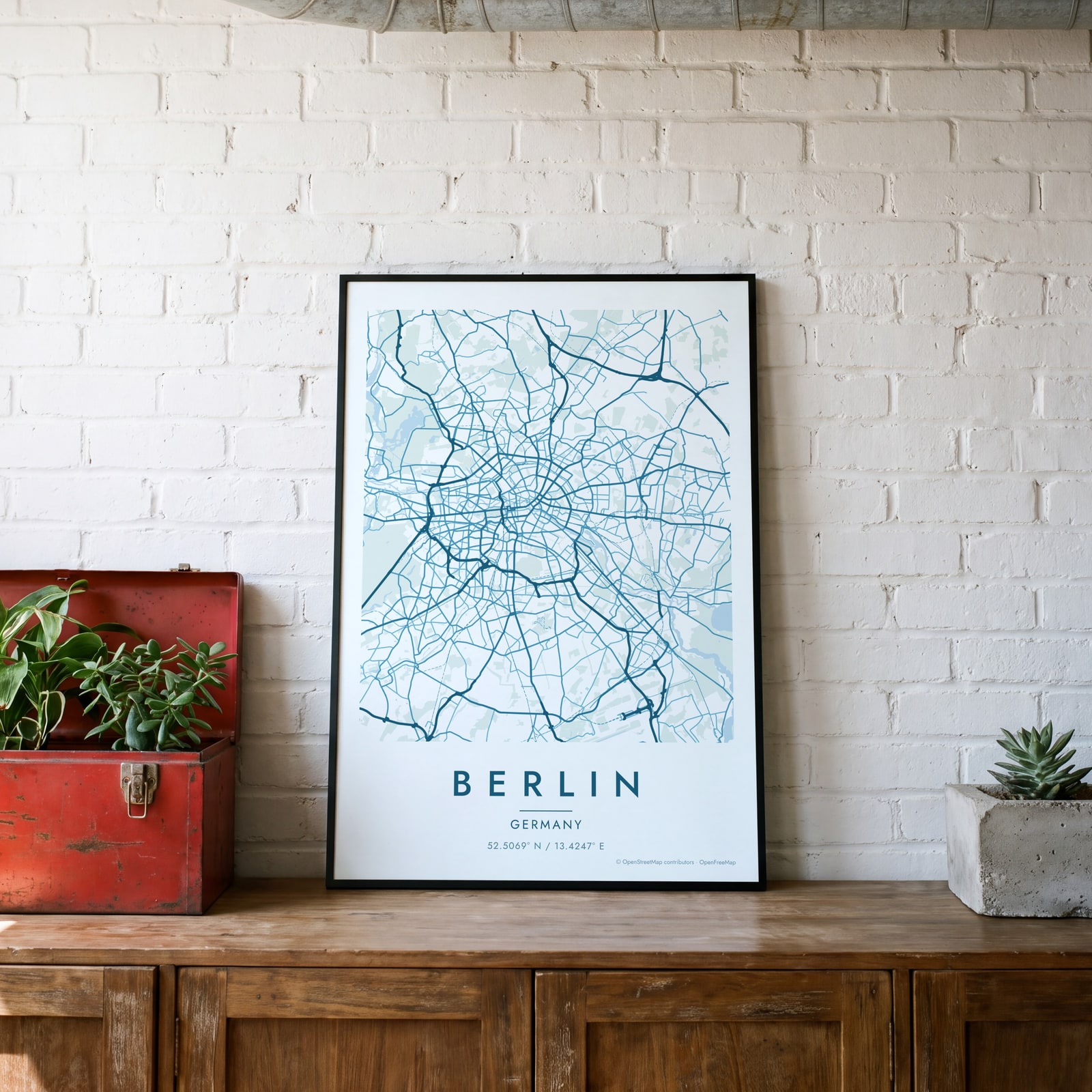 Berlin map poster: the whole city's streets, water and parksEdit this →
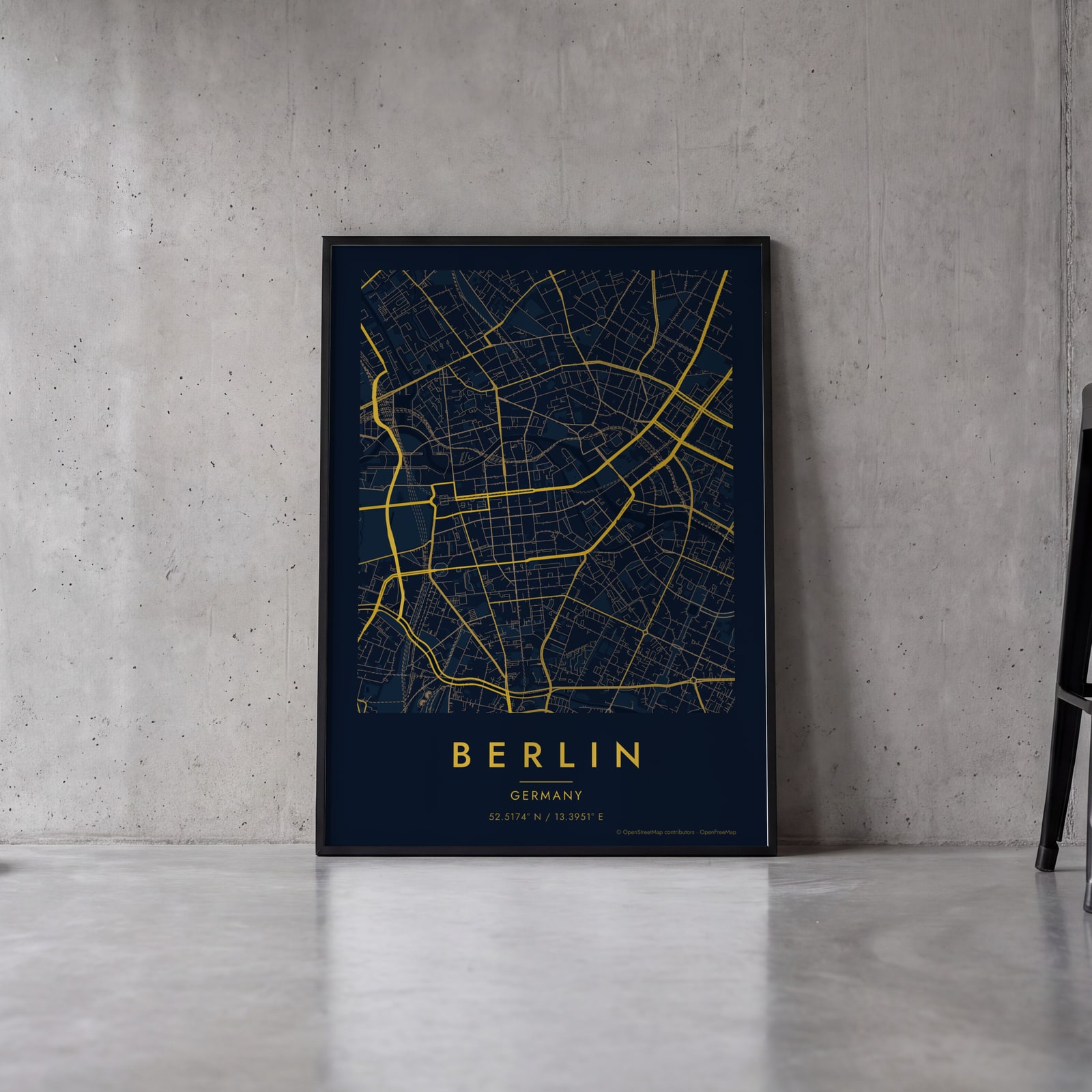 Midnight blue street map of central BerlinEdit this →
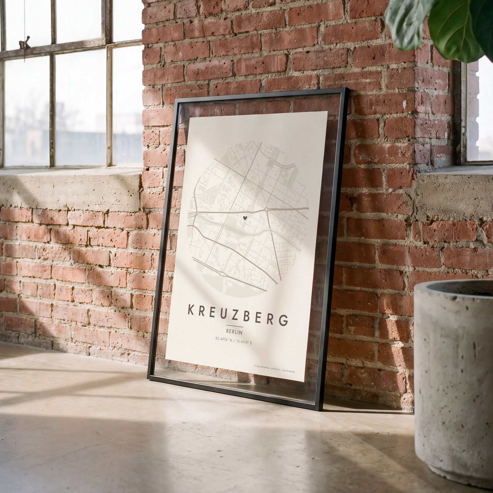 Round map of Kreuzberg, Berlin, with a heartEdit this →
Examples
Open any of them to change the words, the place, the date and the style, then download the print file.
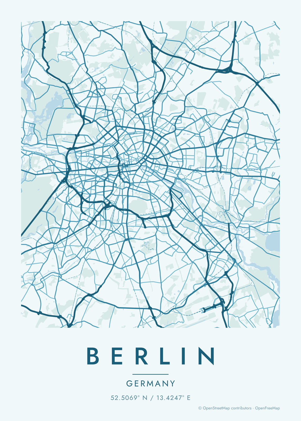
How Berlin's streets are laid out
Berlin grew from two small medieval towns on the Spree, Berlin and Cölln, and spread out in every direction. Much of the inner city was laid out in the late 1800s with wide streets, big blocks and squares, so the map reads as a loose grid that turns from district to district. Long, straight avenues like Unter den Linden, Karl-Marx-Allee and Kurfürstendamm stand out.
Water and green break it up. The Spree runs through the center past Museum Island, and the Landwehr Canal loops south through Kreuzberg. The Tiergarten fills a big patch in the middle, Tempelhofer Feld is a wide open space where an airport used to be, and the Grunewald forest and the Havel lakes spread along the west side. With railways on, the Ringbahn shows as a loop around the inner city, shaped, Berliners say, like a dog's head.
Places to frame
- Kreuzberg: the Landwehr Canal and the streets around it.
- Prenzlauer Berg: old streets and leafy squares north of the center.
- Friedrichshain: Karl-Marx-Allee and the streets around Boxhagener Platz.
- Neukölln: the blocks south of Kreuzberg, out to Tempelhofer Feld.
- Mitte: Museum Island, the Spree and the old center.
- Schöneberg: quiet streets and squares southwest of the center.
- Charlottenburg: the palace gardens and the streets around Kurfürstendamm.
Other ways to draw Berlin
Road map art draws every road of Berlin in a single color, as a dense line portrait of the whole city.
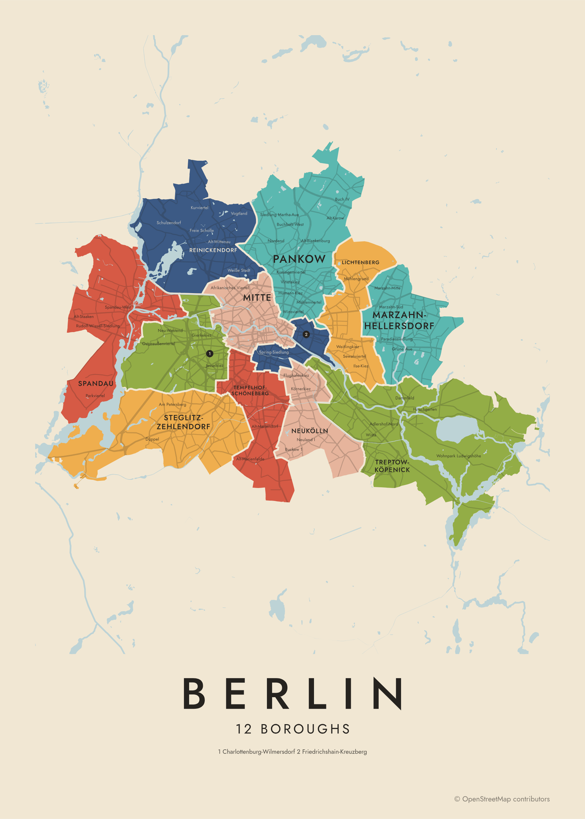
The Berlin neighborhood map names every part of the city: all 12 boroughs or 97 neighborhoods, each in its own color, with yours highlighted if you like.
How to make your Berlin map
- Open the Berlin map, or search any street, neighborhood or address.
- Drag to center it and zoom to set how much it shows, from a few blocks to the whole city.
- Pick colors and a shape: framed, edge to edge or a circle; add a heart, a pin or a dot at the center.
- Write a title and a line under it, or keep the city's name, then download the print file.
Questions
Which part of Berlin should I put on the map?
Center it on Mitte and the map shows the Spree, the Tiergarten and the old center. For something personal, zoom into Kreuzberg, Prenzlauer Berg or the street of your first apartment. A wider map shows the whole Ringbahn loop.
Does the map show the Spree and the lakes?
Yes. Water is a layer, on by default, so the Spree, the canals and the Havel draw in. Move the map out toward the edges and Wannsee or the Müggelsee come into view.
Can I mark our street?
Yes. Search the address, center the map on it and add a heart, a pin or a dot. Put the street name or a date in the subtitle.
Where does the map data come from?
From OpenStreetMap, the open map built by volunteers. Its credit line prints small in the corner of every map.
What sizes can I print?
US Letter, 8 × 10, 11 × 14, 12 × 16 and 12 × 18 in, A4 and A3, free. You download a 300 DPI JPEG drawn at the size you pick. Larger prints, up to 24 × 36 in, are coming soon.
Related
Gift ideas by occasion




Every example is made with the Posterage generators. Change anything, then download it as a 300 DPI JPEG.