Lisbon map poster steep hills, a wide river and a grid rebuilt after 1755
Draw Lisbon as clean line art: the wide Tagus along its southern edge, the straight Baixa streets and the tangled hills on either side. Center it on Alfama, on your street or on the whole city, then print it from A4 to 24 × 36 in.
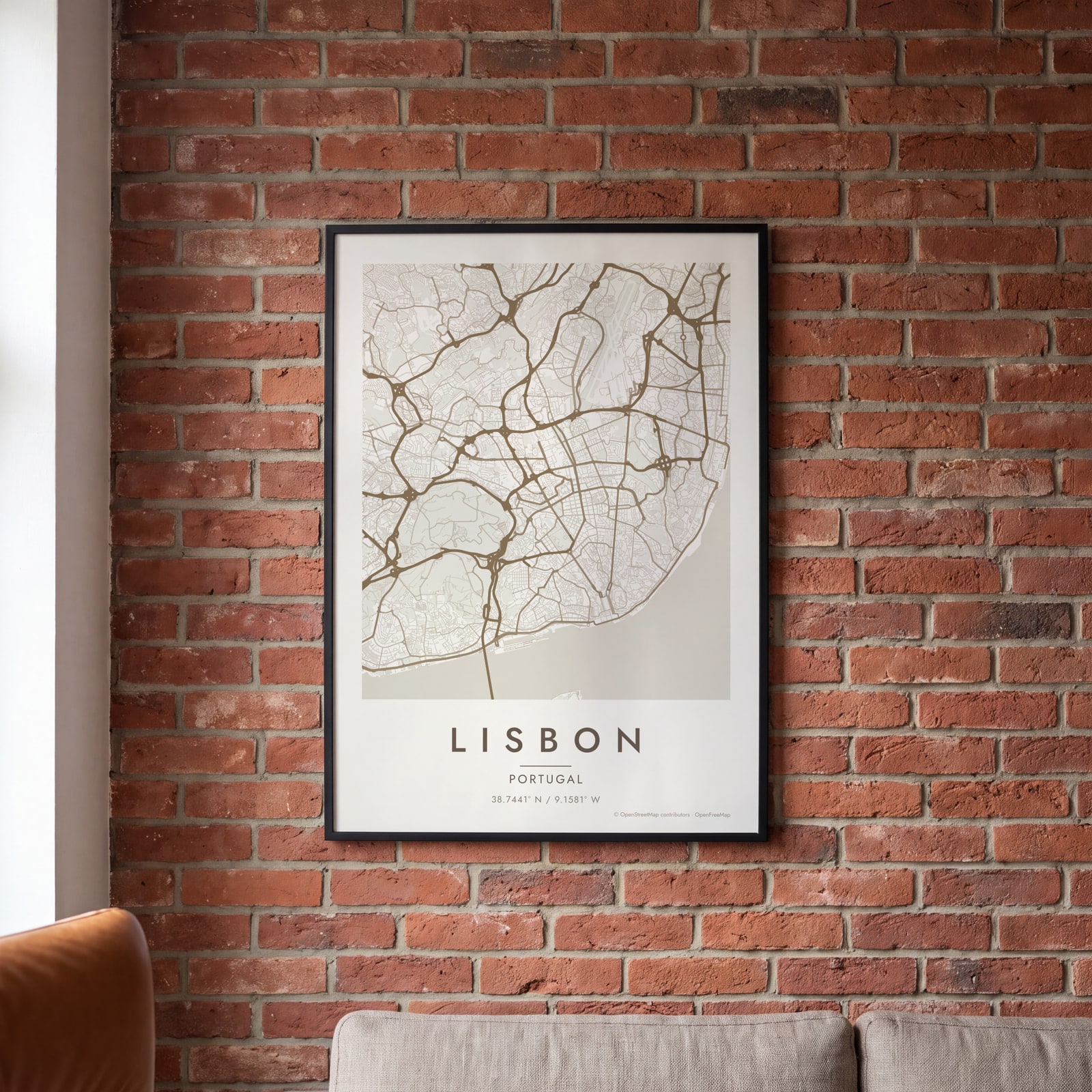
On the wall
A few of them framed at home. Open any one to make it yours.
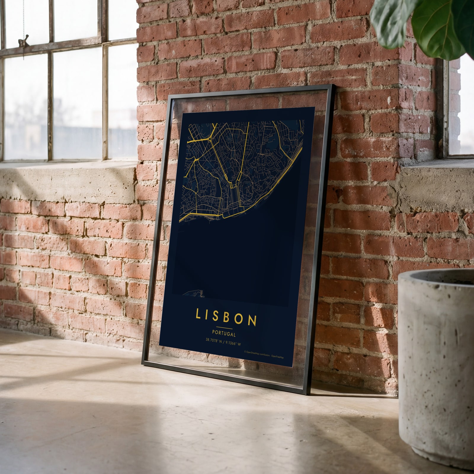 Midnight blue street map of central LisbonEdit this →
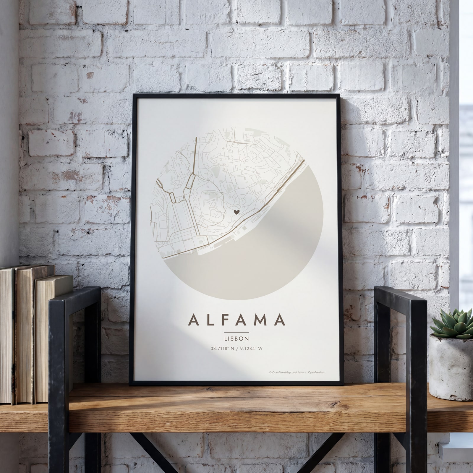 Round map of Alfama, Lisbon, with a heartEdit this →
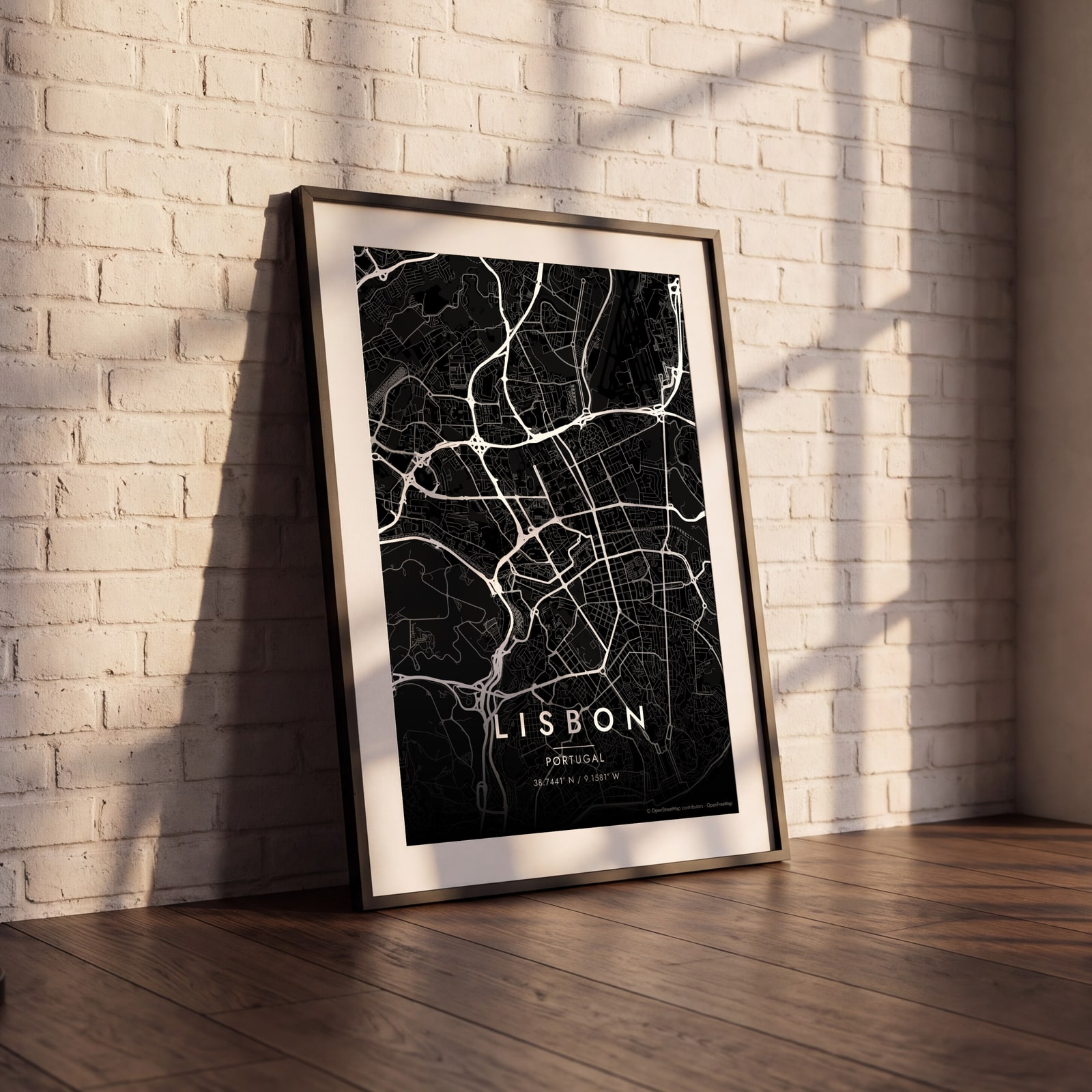 Lisbon streets in white on black, edge to edgeEdit this →
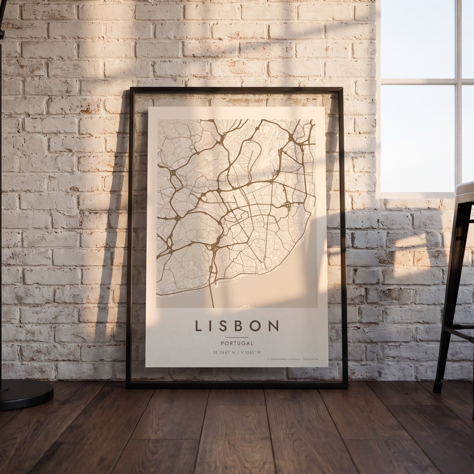 Lisbon map poster: the whole city's streets, water and parksEdit this →
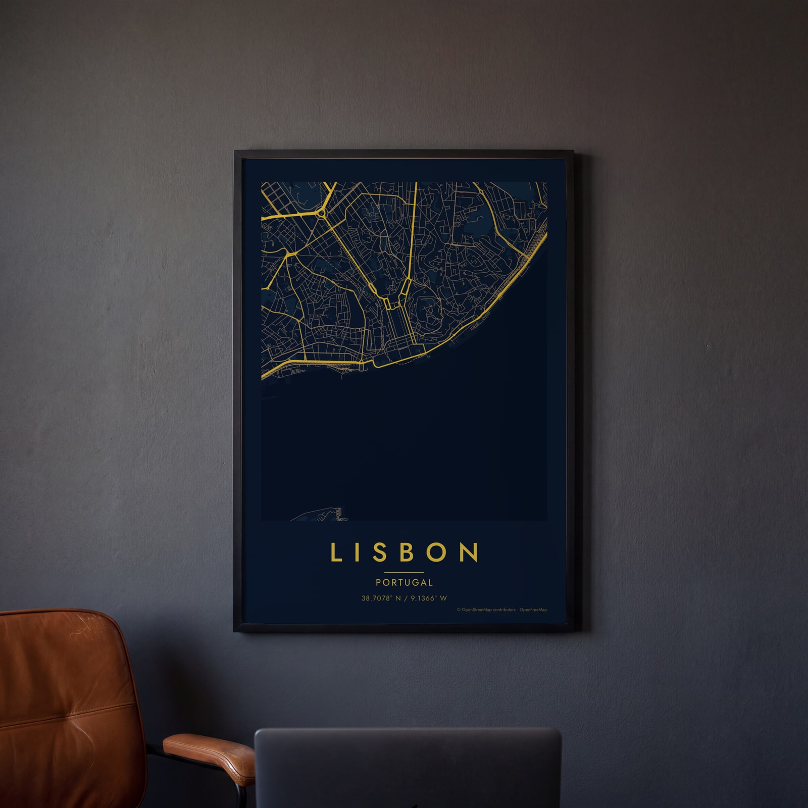 Midnight blue street map of central LisbonEdit this →
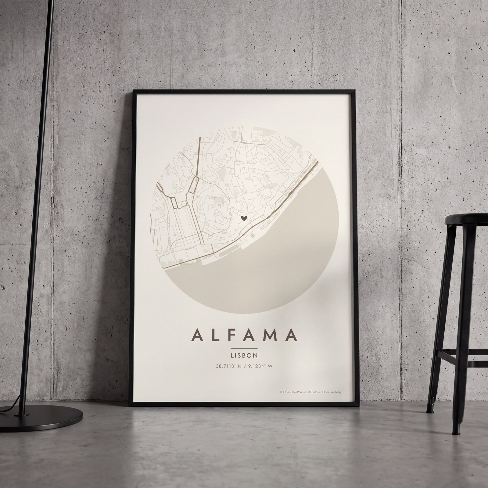 Round map of Alfama, Lisbon, with a heartEdit this →
Examples
Open any of them to change the words, the place, the date and the style, then download the print file.
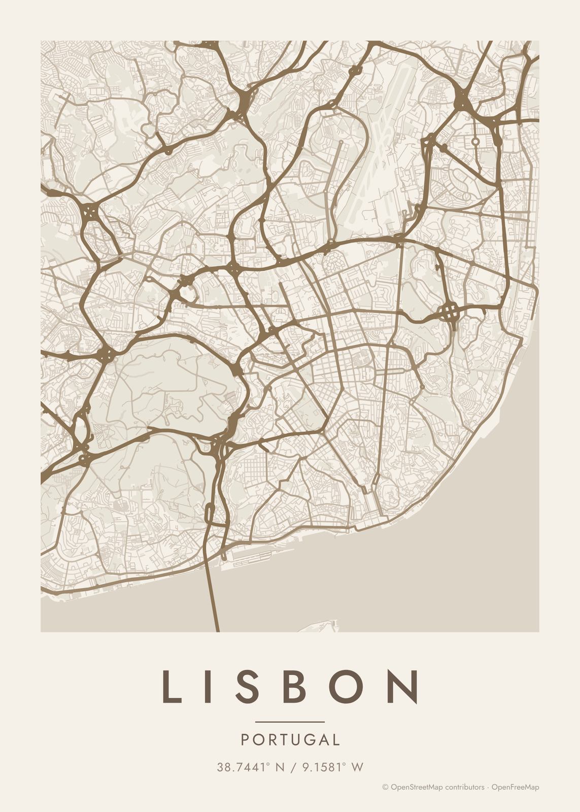
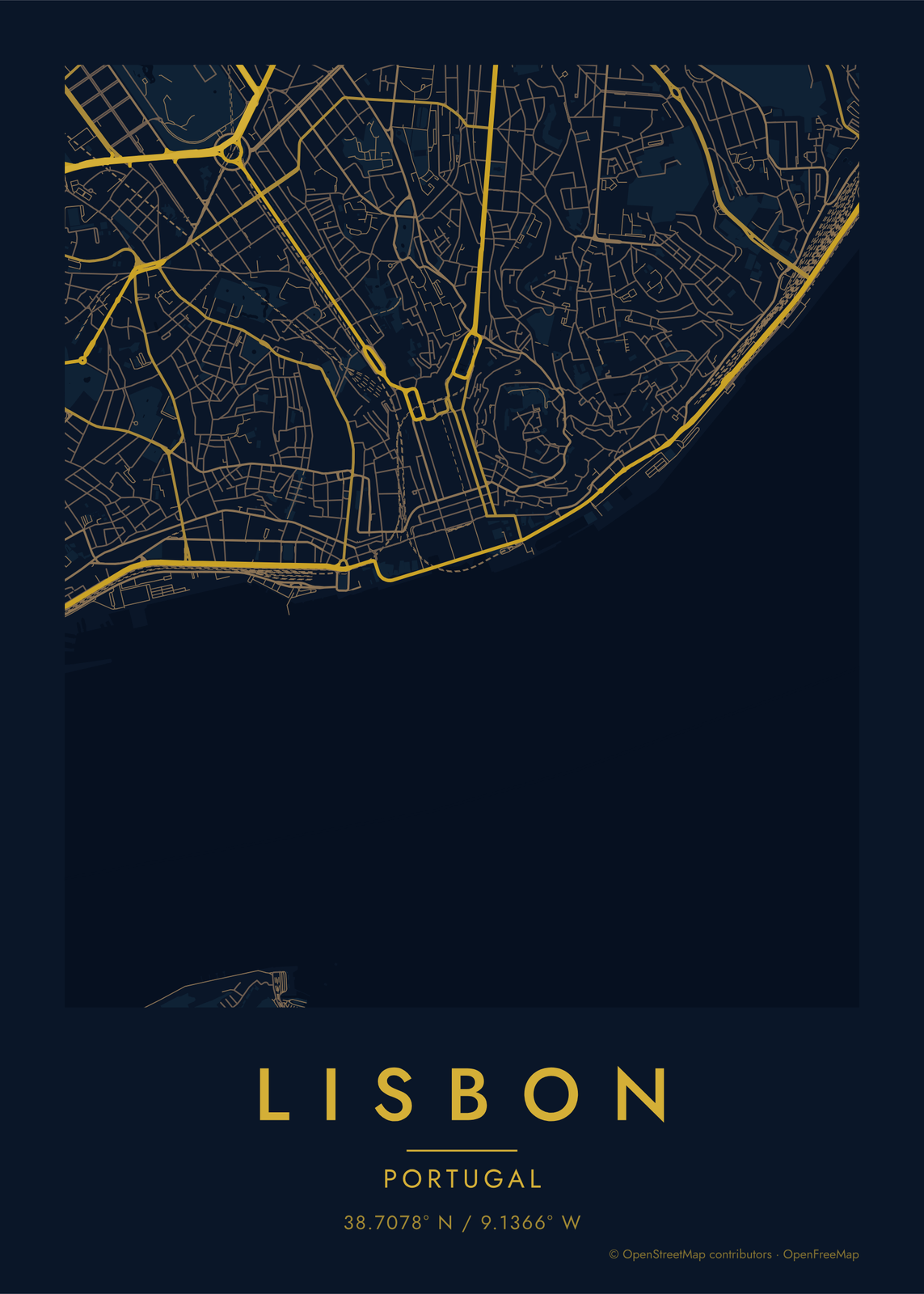
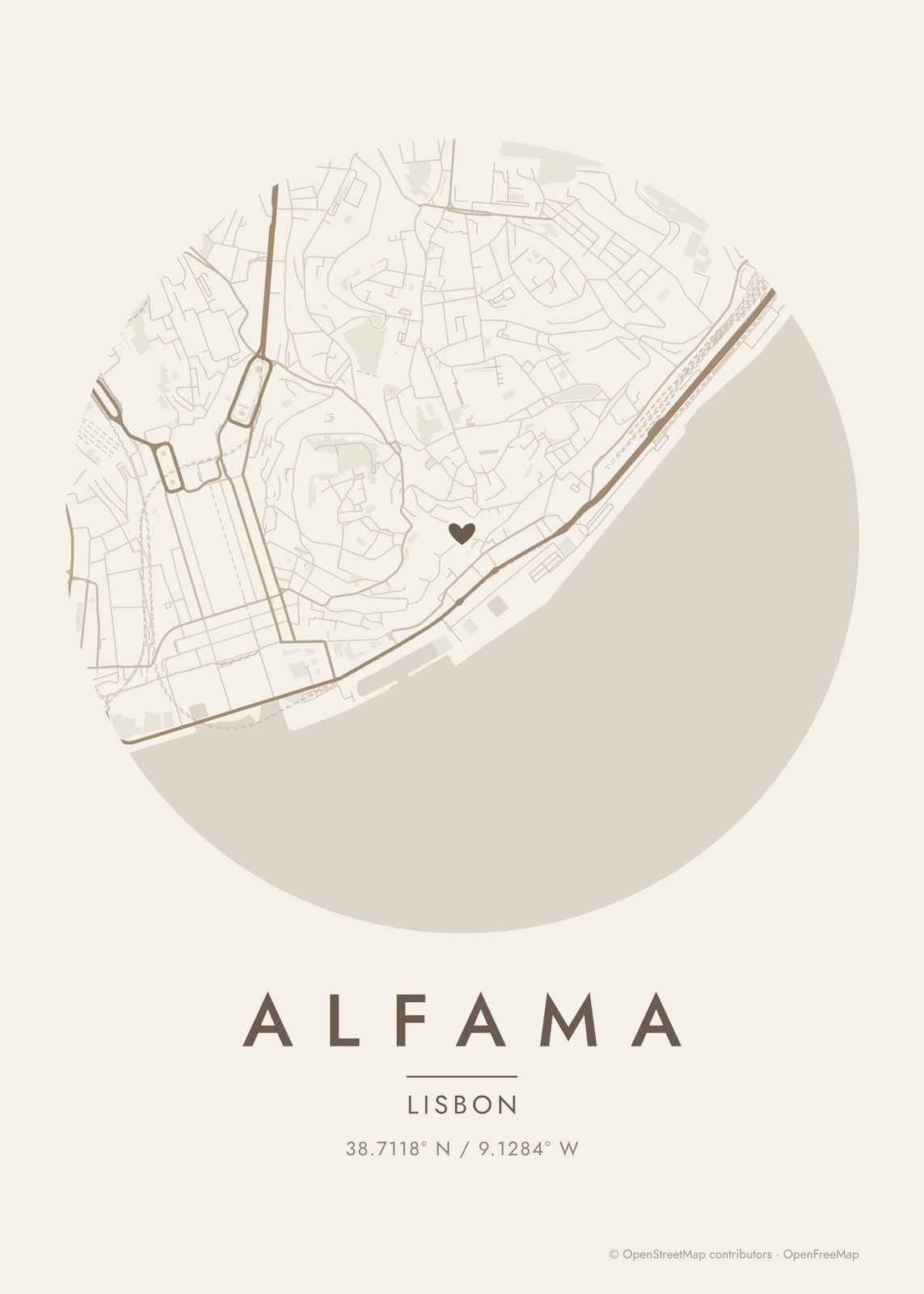
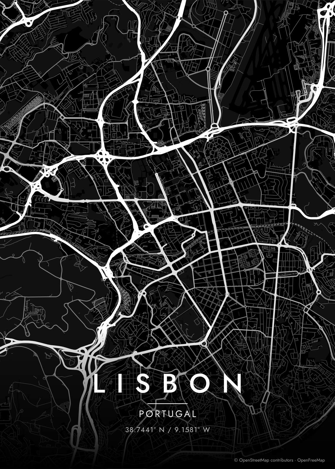
How Lisbon's streets are laid out
Lisbon faces south over the Tagus, which opens into a broad estuary, so maps of the center have water along the whole bottom edge. The old city climbs steep hills, and the streets show it: Alfama and Mouraria are a knot of lanes and stairs, and Bairro Alto is a tight mesh of narrow streets above Chiado.
In the middle sits the Baixa, rebuilt as a grid after the 1755 earthquake, running from Praça do Comércio on the river up to Rossio. North of it, Avenida da Liberdade leads to newer, wider avenues. Monsanto Forest Park makes a big green block to the west, and two long bridges cross the river: the 25 de Abril to Almada and the Vasco da Gama farther east.
Places to frame
- Alfama: lanes and stairs below the castle.
- Graça: hilltop streets above Alfama.
- Baixa: the straight grid between the river and Rossio.
- Bairro Alto: narrow streets packed onto the hill.
- Príncipe Real: a garden square and quiet streets north of Bairro Alto.
- Campo de Ourique: a calm grid of streets west of the center.
- Belém: the riverfront to the west, by the monastery and the tower.
Other ways to draw Lisbon
Road map art draws every road of Lisbon in a single color, as a dense line portrait of the whole city.
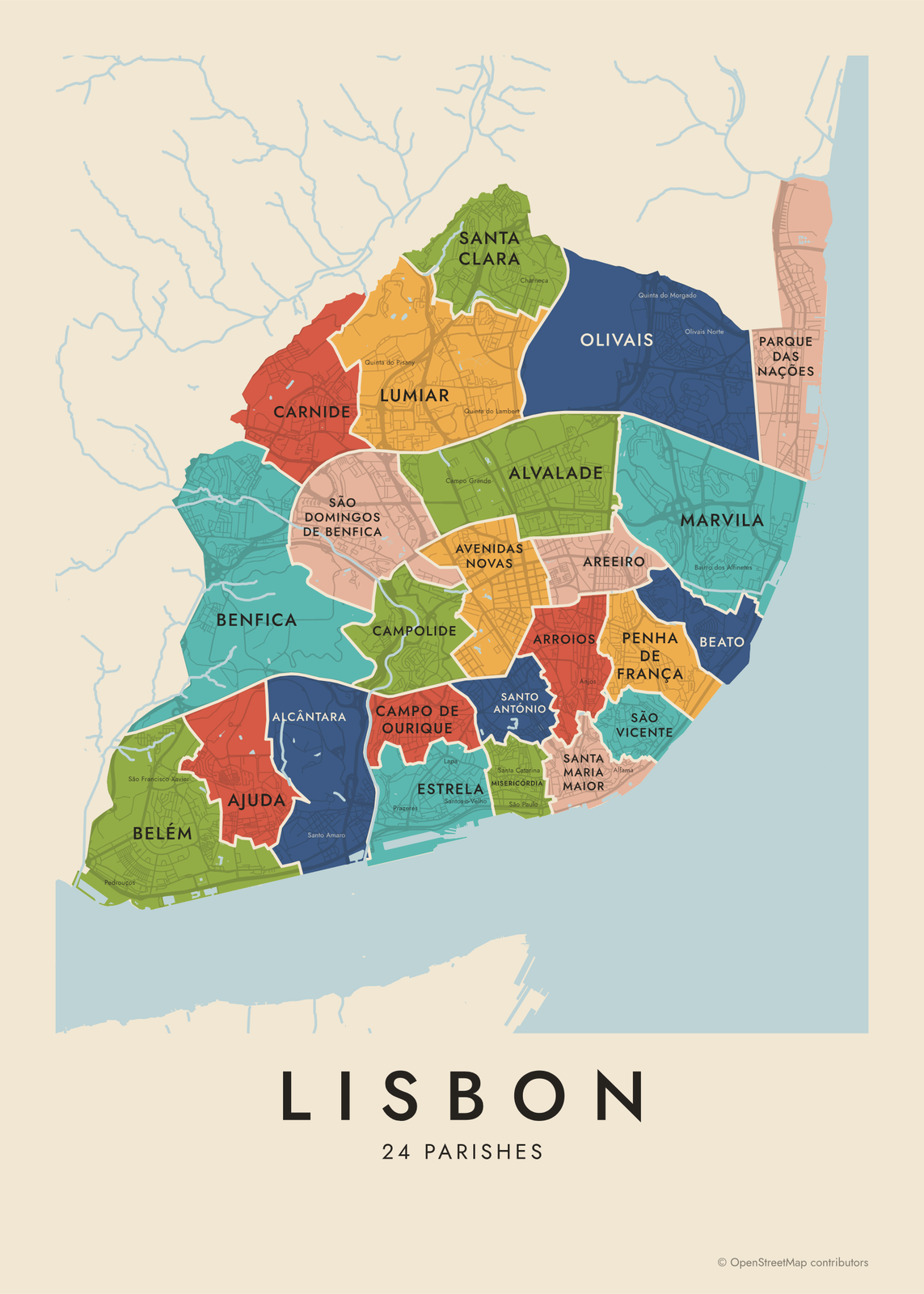
The Lisbon neighborhood map names every part of the city: all 24 parishes, each in its own color, with yours highlighted if you like.
How to make your Lisbon map
- Open the Lisbon map, or search any street, neighborhood or address.
- Drag to center it and zoom to set how much it shows, from a few blocks to the whole city.
- Pick colors and a shape: framed, edge to edge or a circle; add a heart, a pin or a dot at the center.
- Write a title and a line under it, or keep the city's name, then download the print file.
Questions
Which part of Lisbon should I put on the map?
Center it on the Baixa and the map shows the river, the grid and the hills on both sides. For something personal, zoom into Alfama, Graça or the street you lived on. Lisbon is compact, so a wide map takes in most of the city.
Does the map show the Tagus and the bridges?
Yes. The river draws as water, and the 25 de Abril and Vasco da Gama bridges show as the roads that cross it. Zoom out to bring in the south bank.
Can I mark where we stayed?
Yes. Search the address, center the map on it and add a heart, a pin or a dot. Put the dates or the street name in the subtitle.
Where does the map data come from?
From OpenStreetMap, the open map built by volunteers. Its credit line prints small in the corner of every map.
What sizes can I print?
US Letter, 8 × 10, 11 × 14, 12 × 16 and 12 × 18 in, A4 and A3, free. You download a 300 DPI JPEG drawn at the size you pick. Larger prints, up to 24 × 36 in, are coming soon.
Related
Gift ideas by occasion




Every example is made with the Posterage generators. Change anything, then download it as a 300 DPI JPEG.