London map poster the Thames, the parks and the villages that grew together
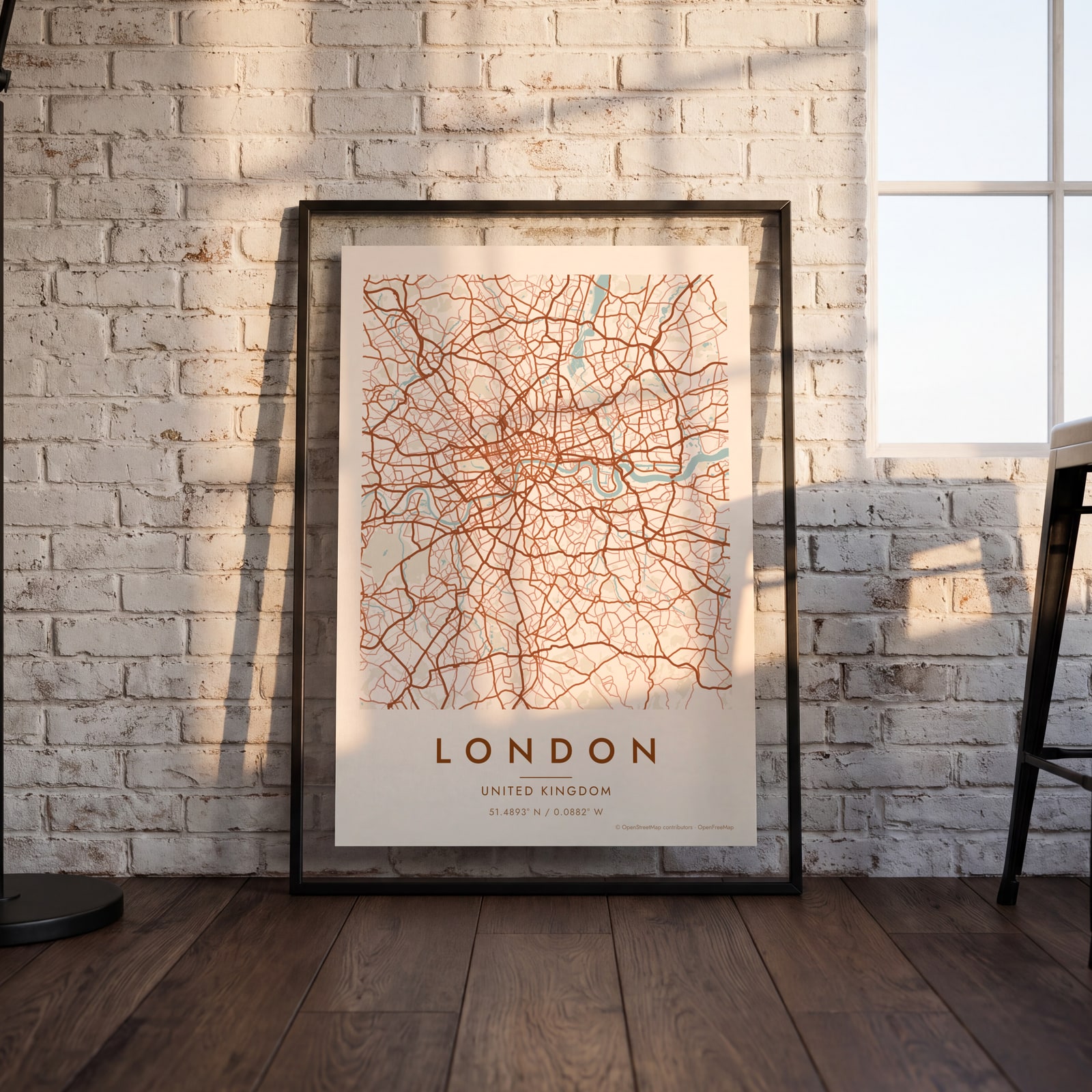
Draw London as clean line art: the bends of the Thames, the big parks and the tangle of streets between them. Center it on a whole borough or on the street where you live, then print it from A4 to 24 × 36 in.
On the wall
A few of them framed at home. Open any one to make it yours.
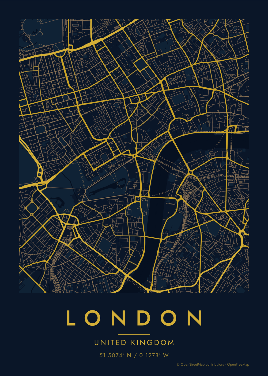
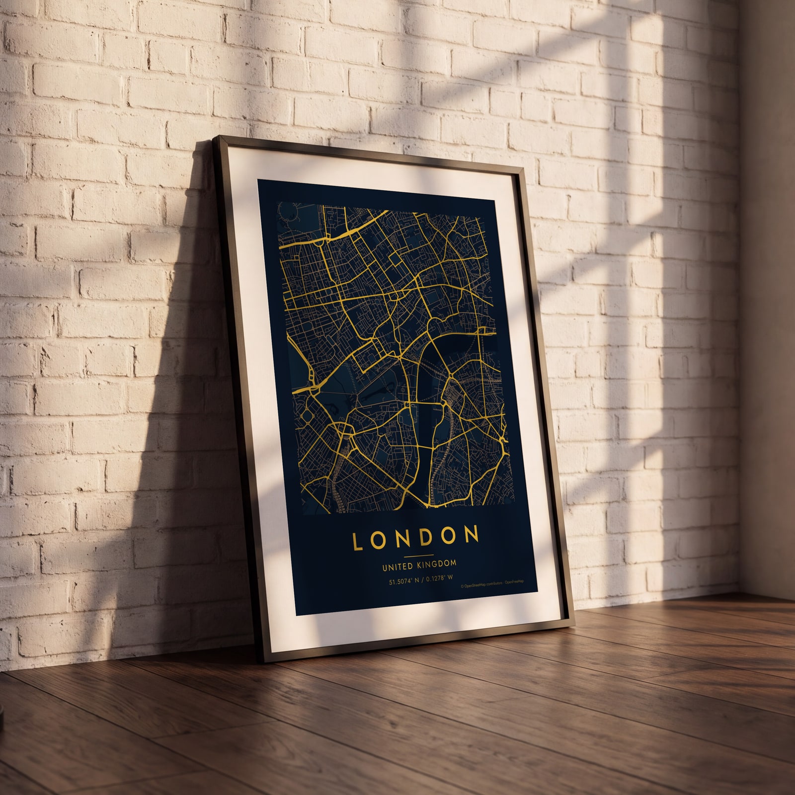 Midnight blue street map of central LondonEdit this →
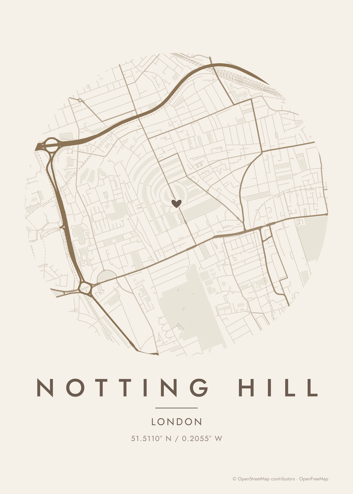
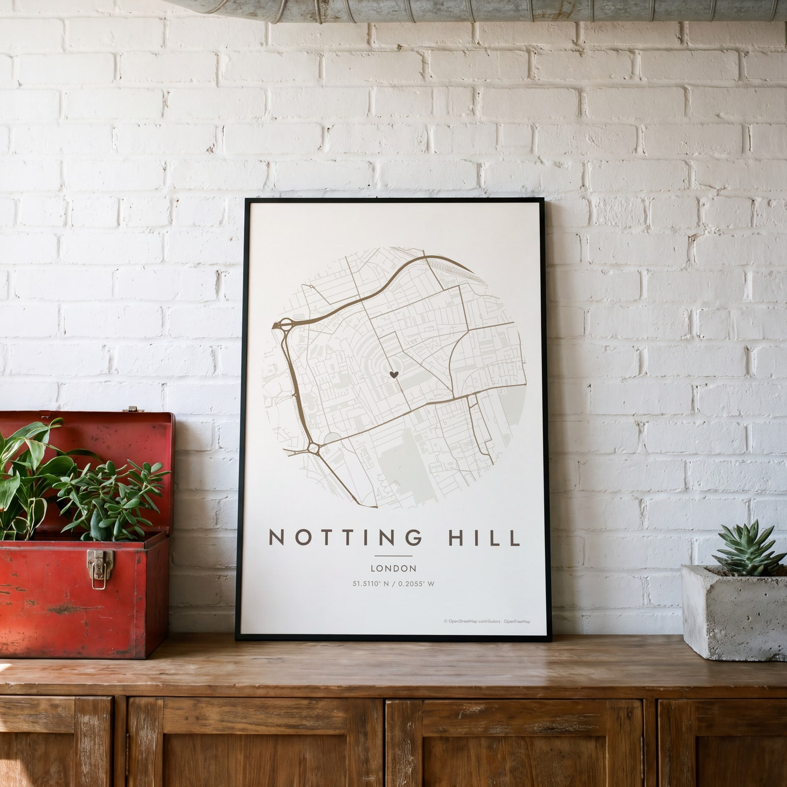 Round map of Notting Hill, London, with a heartEdit this →
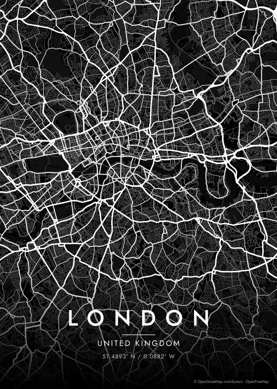
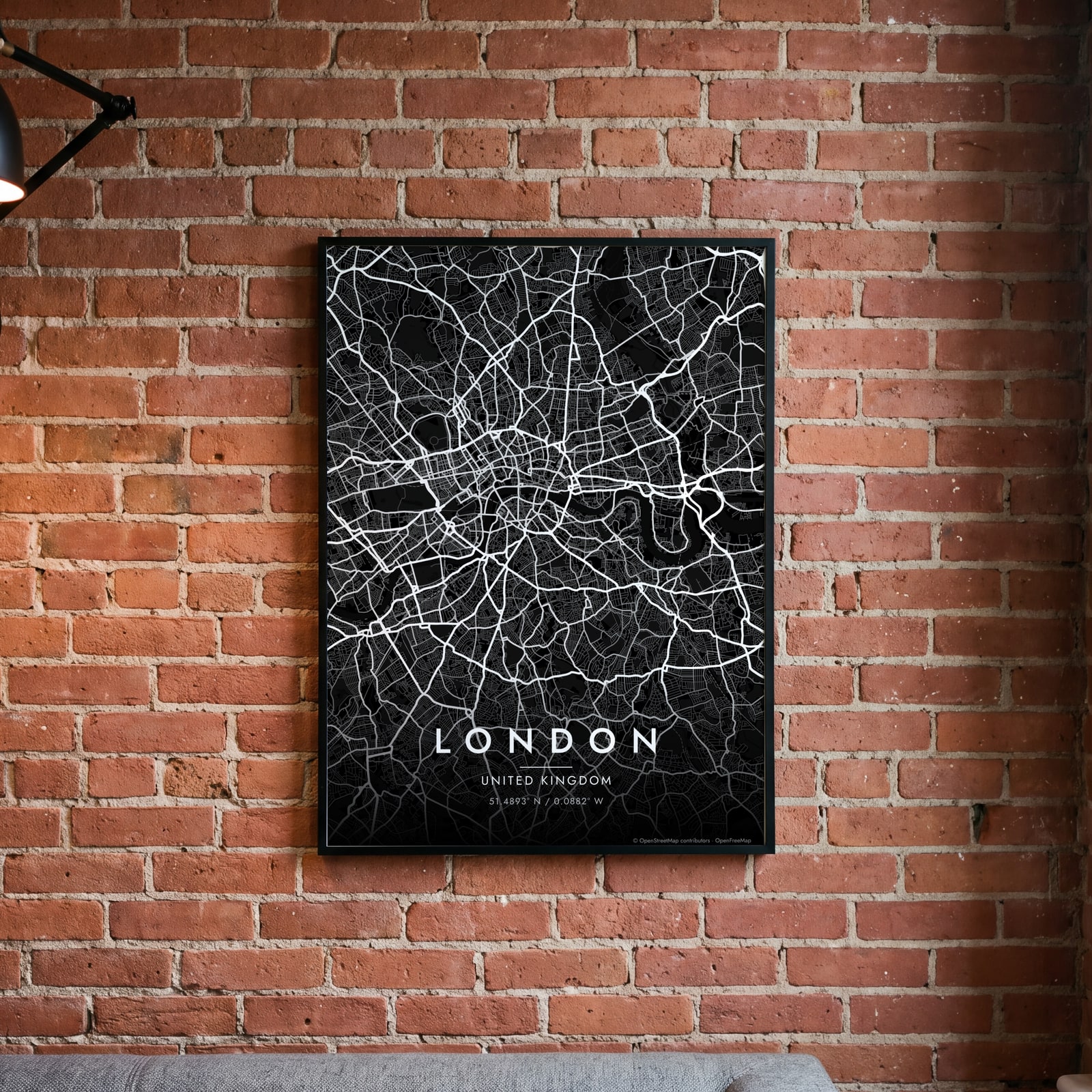 London streets in white on black, edge to edgeEdit this →
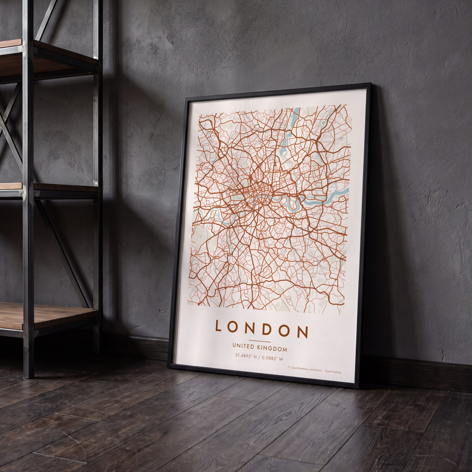 London map poster: the whole city's streets, water and parksEdit this →
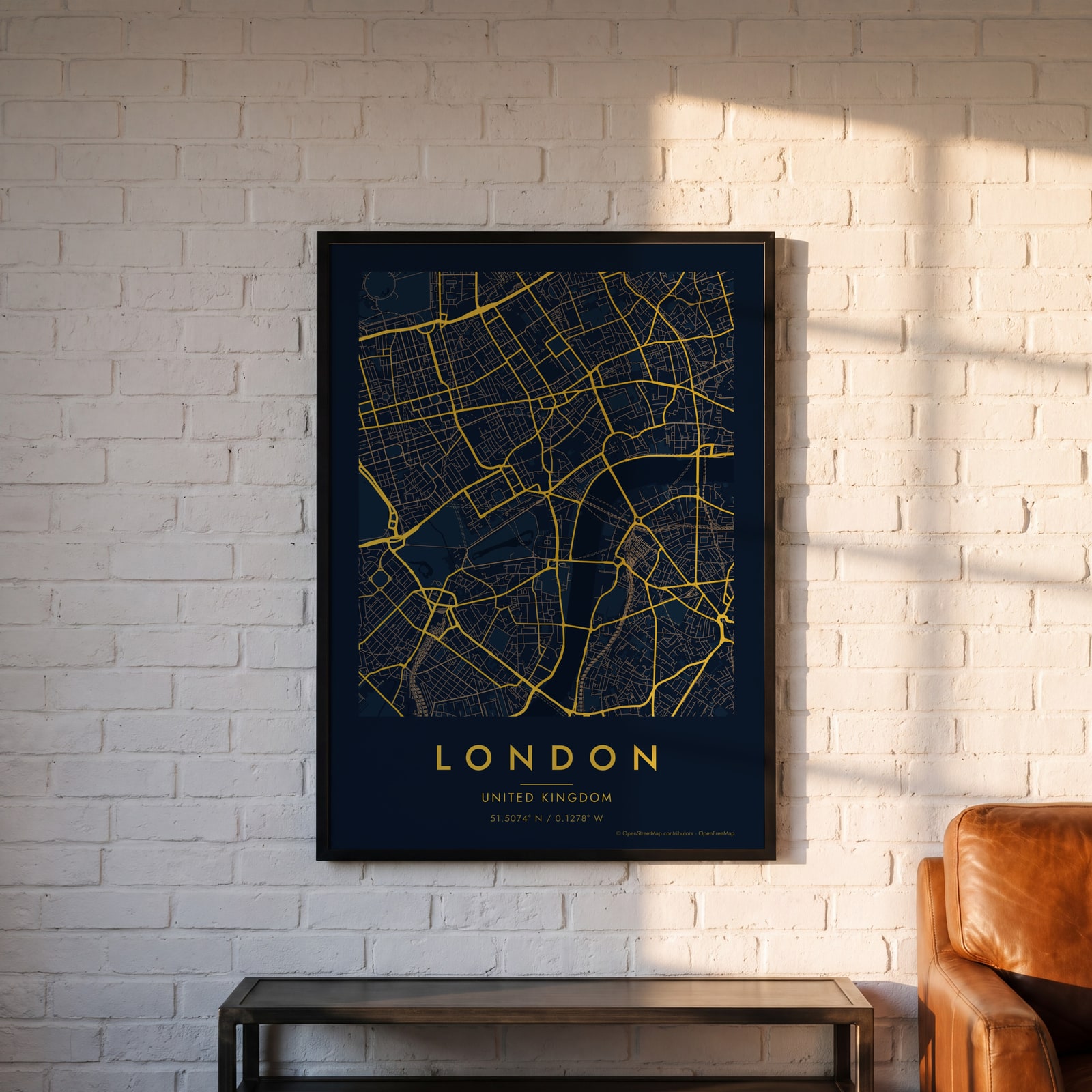 Midnight blue street map of central LondonEdit this →
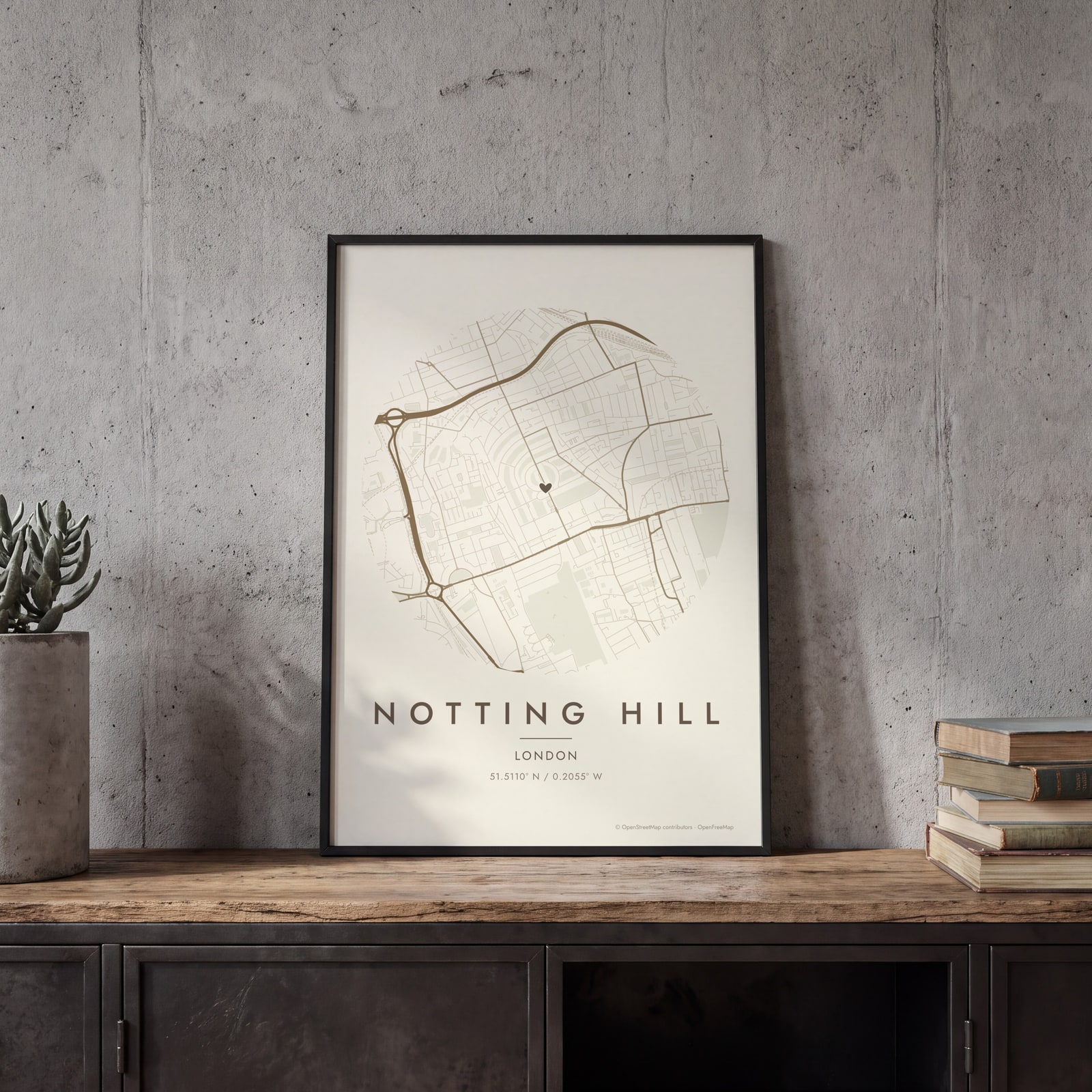 Round map of Notting Hill, London, with a heartEdit this →
Examples
Open any of them to change the words, the place, the date and the style, then download the print file.
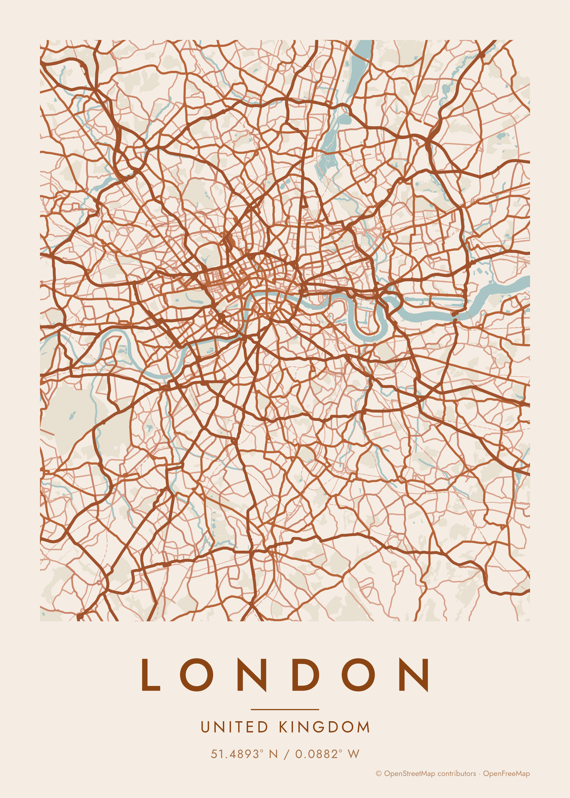
How London's streets are laid out
London has no grid. It grew out from the old Roman town, now the City of London, and swallowed the villages around it, from Chelsea to Hampstead. So streets bend, fork and change names, and the old village centers still show as knots in the line work. The North and South Circular roads trace wide loops around the middle.
The Thames is what makes it readable from above. It winds east through the center, with a deep loop around the Isle of Dogs, where the old dock basins at Canary Wharf still hold long rectangles of water. Green breaks up the streets: Hyde Park and Kensington Gardens, Regent's Park, Hampstead Heath, and Richmond Park out to the southwest.
Places to frame
- Notting Hill: curving crescents and garden squares west of Hyde Park.
- Camden Town: the canal, the markets and the edge of Regent's Park.
- Shoreditch: tight streets just north of the City.
- Islington: Georgian squares and Upper Street.
- Hackney: London Fields, Victoria Park and the canal between them.
- Brixton: south London streets around the market and the station.
- Greenwich: the park on the hill and a bend of the Thames.
Other ways to draw London
Road map art draws every road of London in a single color, as a dense line portrait of the whole city.
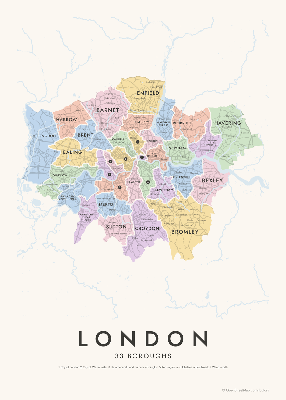
The London neighborhood map names every part of the city: all 33 boroughs, each in its own color, with yours highlighted if you like.
How to make your London map
- Open the London map, or search any street, neighborhood or address.
- Drag to center it and zoom to set how much it shows, from a few blocks to the whole city.
- Pick colors and a shape: framed, edge to edge or a circle; add a heart, a pin or a dot at the center.
- Write a title and a line under it, or keep the city's name, then download the print file.
Questions
Which part of London should I put on the map?
Pick the area that means something to you. A wide map shows the Thames winding through the middle, and a close one shows a single neighborhood, like Notting Hill or Islington, down to its squares and mews. You set how much it shows by zooming.
Can I mark our street or our first home?
Yes. Search the address, center the map on it and add a heart, a pin or a dot. Put the street name or a date in the subtitle.
Does the map show the Thames and the parks?
Yes. Water and parks are layers, on by default, each in the style's own colors. The Thames, the old dock basins and the Serpentine in Hyde Park all draw in. Turn either layer off for a map of streets only.
Where does the map data come from?
From OpenStreetMap, the open map built by volunteers. Its credit line prints small in the corner of every map.
What sizes can I print?
US Letter, 8 × 10, 11 × 14, 12 × 16 and 12 × 18 in, A4 and A3, free. You download a 300 DPI JPEG drawn at the size you pick. Larger prints, up to 24 × 36 in, are coming soon.
Related
Gift ideas by occasion




Every example is made with the Posterage generators. Change anything, then download it as a 300 DPI JPEG.