London boroughs map all 32 boroughs and the City, named
This poster maps Greater London split into its 32 boroughs plus the City of London, 33 areas in all, each one named. More than 600 neighborhood names, from Shoreditch and Brixton to Notting Hill, print as small labels. Highlight your borough and print it.
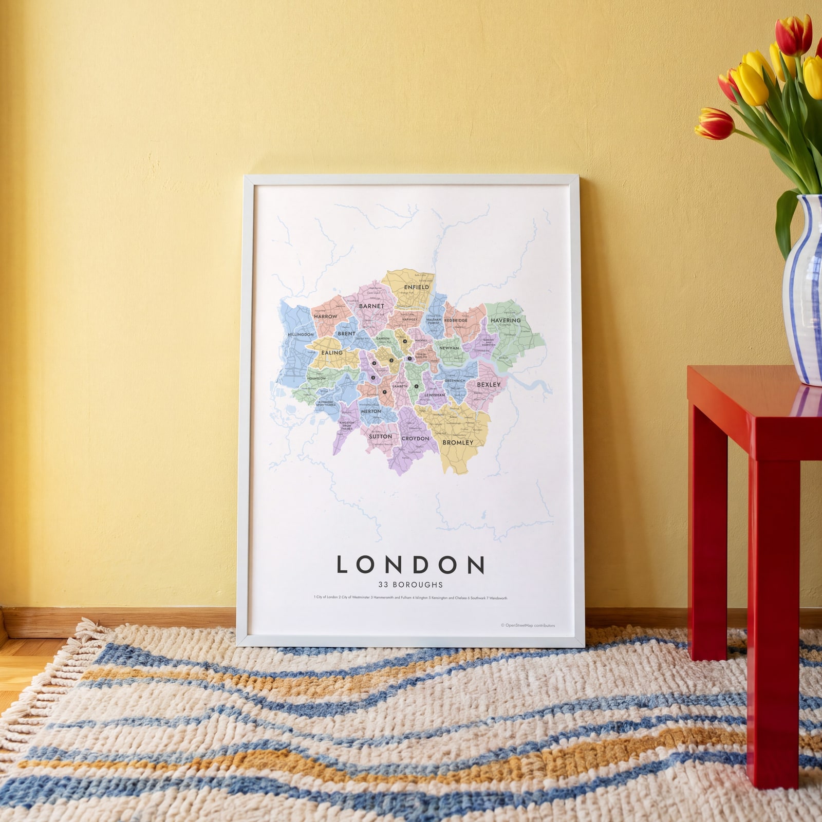
On the wall
A few of them framed at home. Open any one to make it yours.
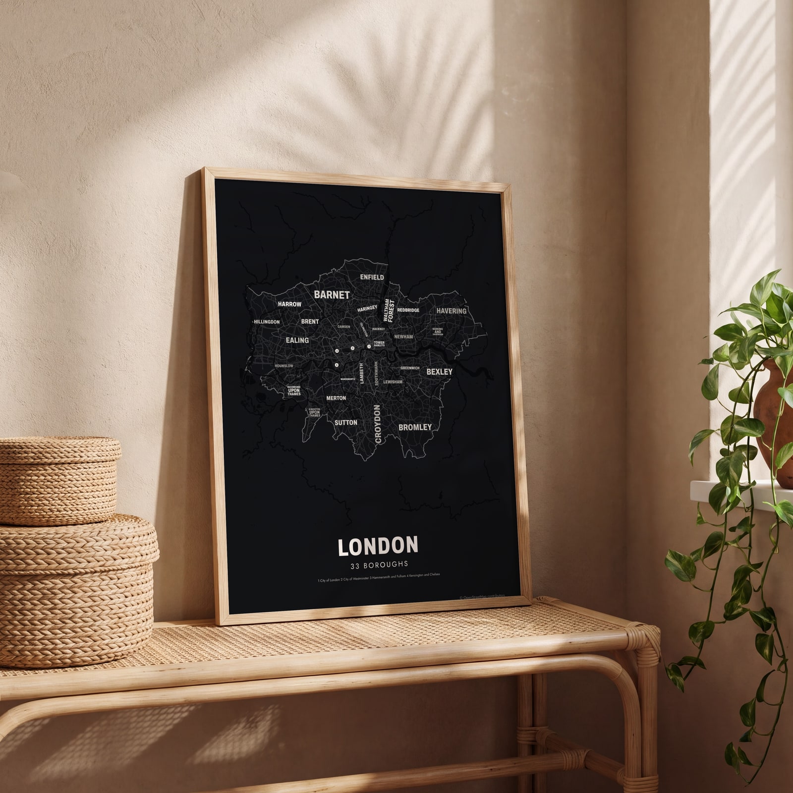 Typographic London map: the names fill their boroughsEdit this →
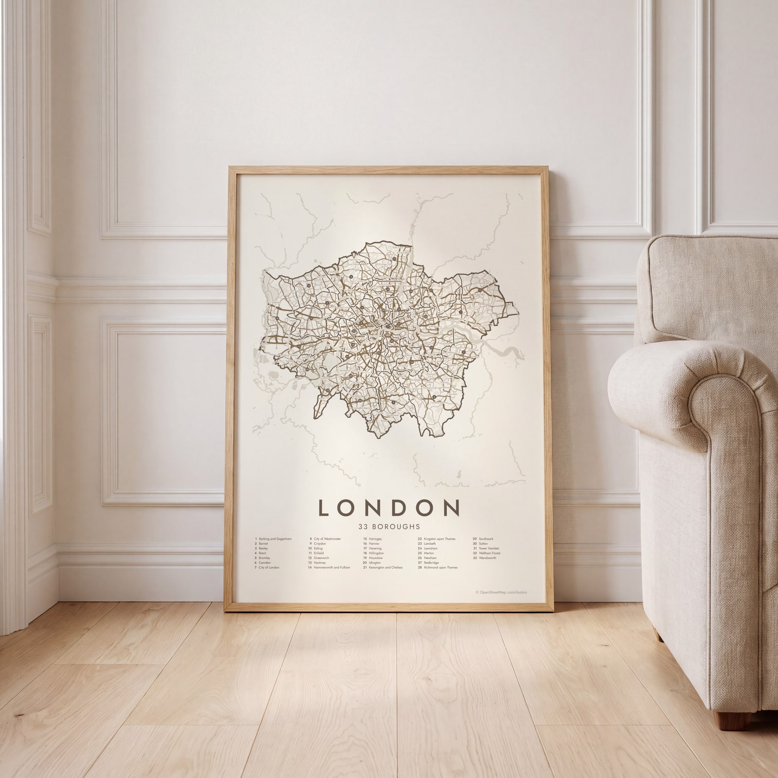 London street map with numbered boroughs and their listEdit this →
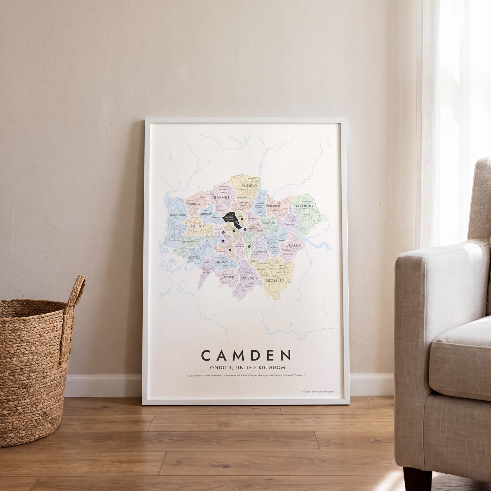 Camden highlighted on a map of LondonEdit this →
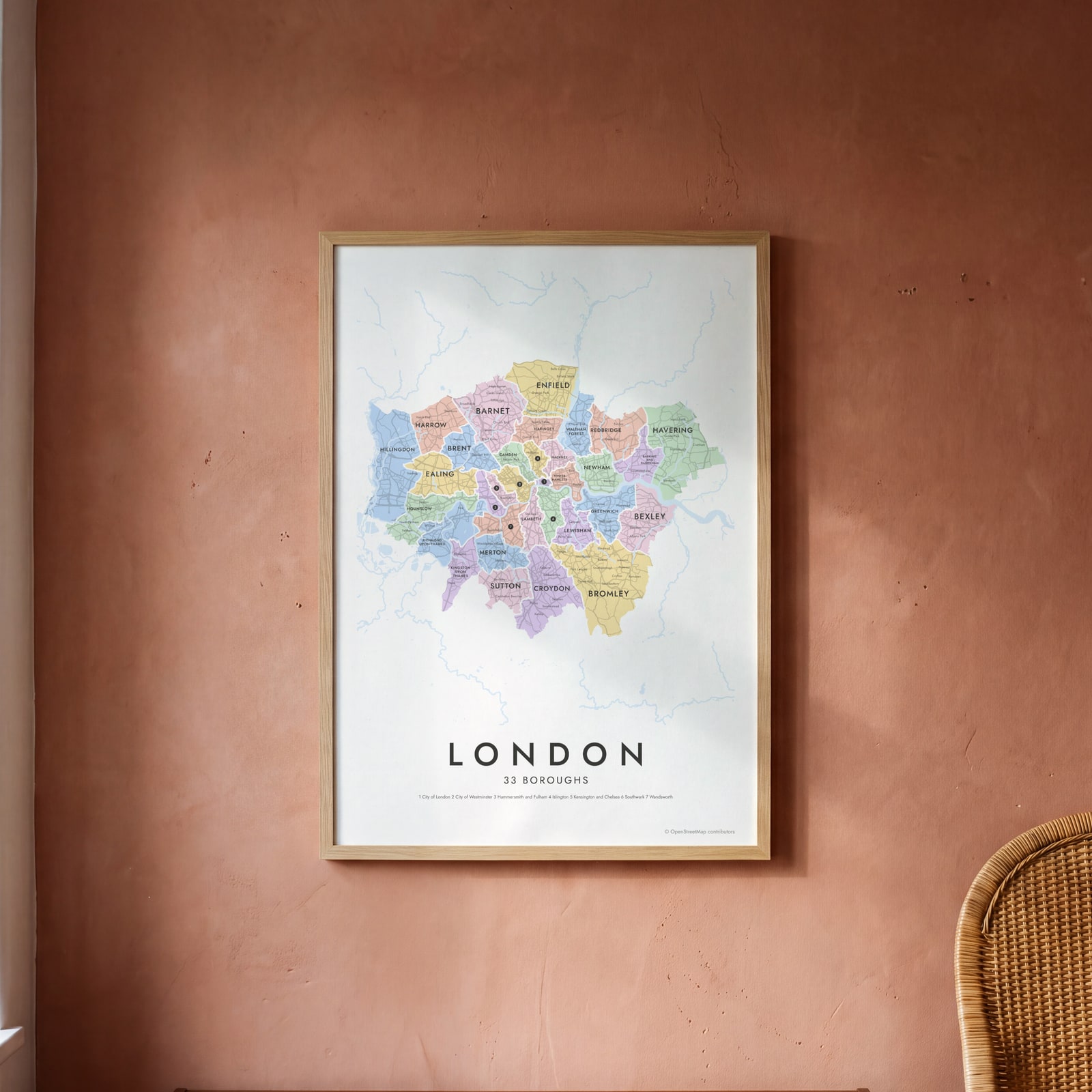 London neighborhood map in color, every borough namedEdit this →
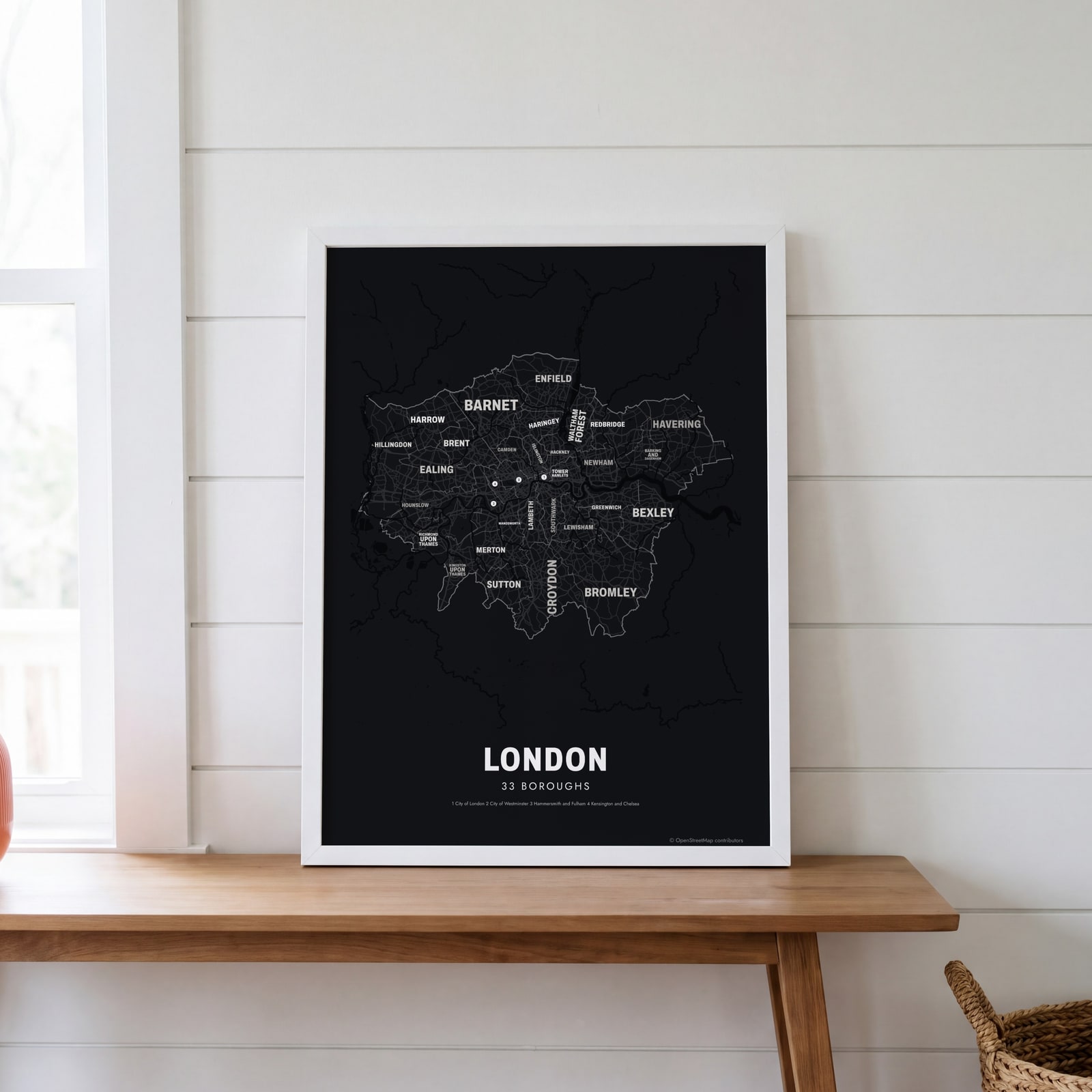 Typographic London map: the names fill their boroughsEdit this →
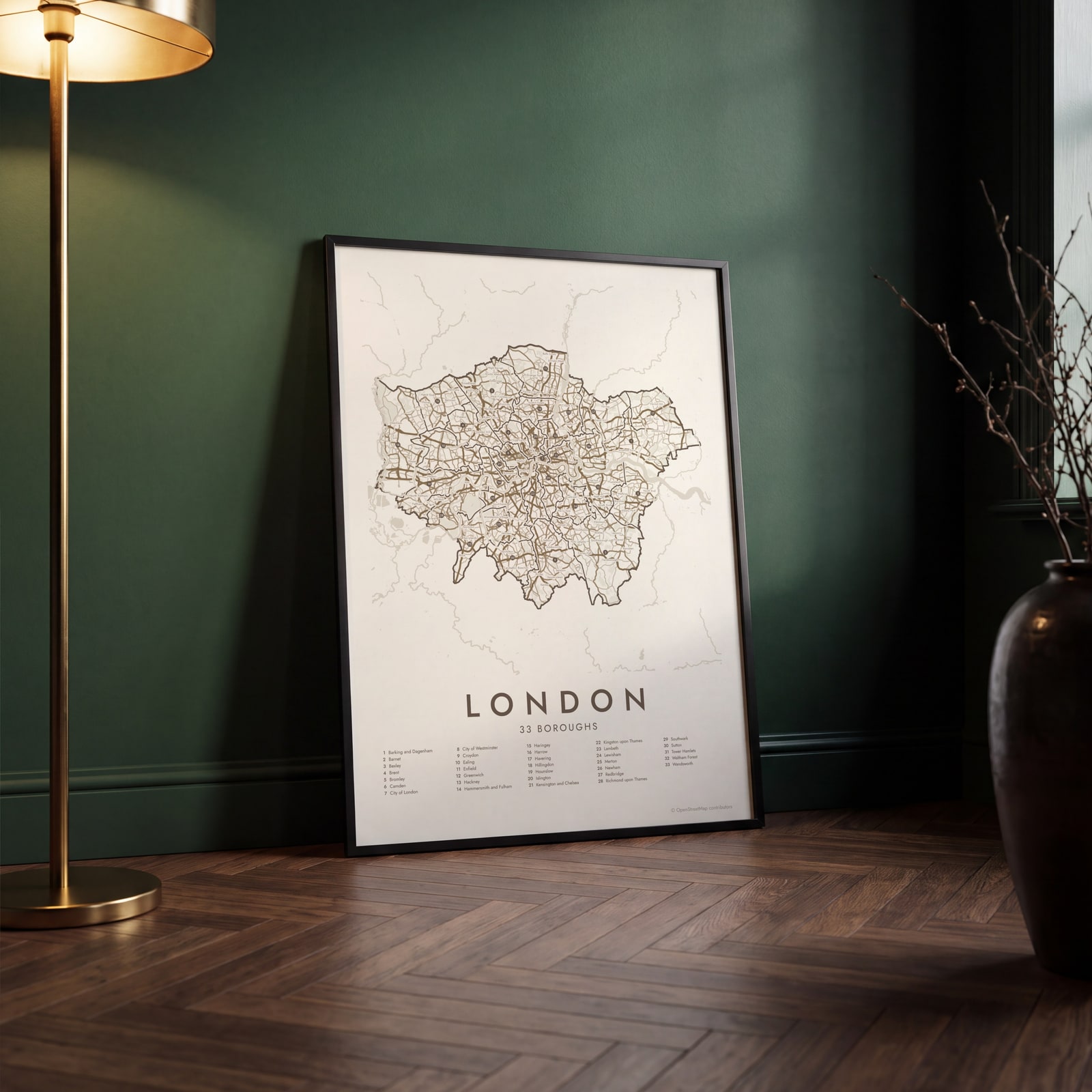 London street map with numbered boroughs and their listEdit this →
Examples
Open any of them to change the words, the place, the date and the style, then download the print file.
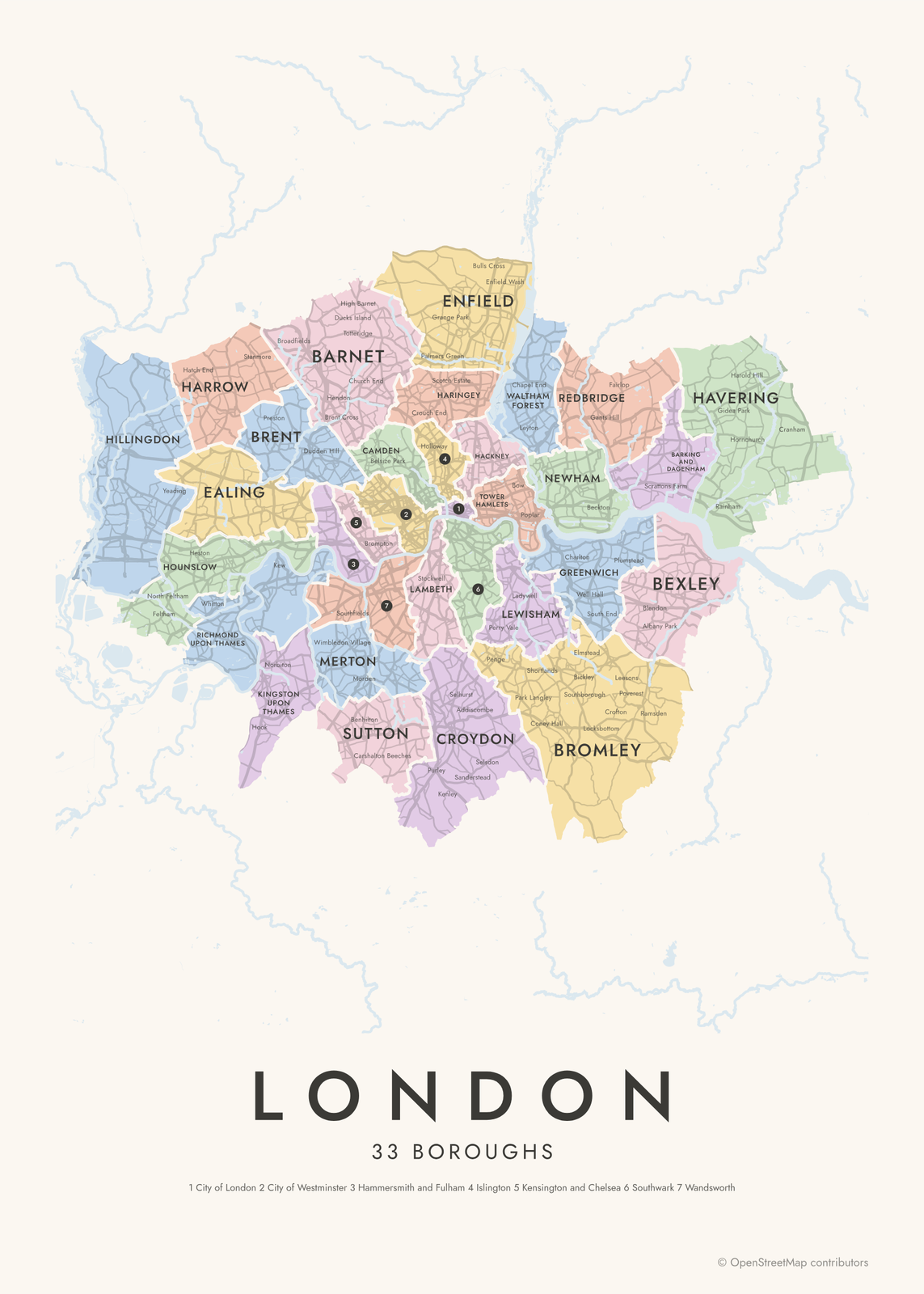 London neighborhood map in color, every borough namedEdit this →More neighborhood maps →
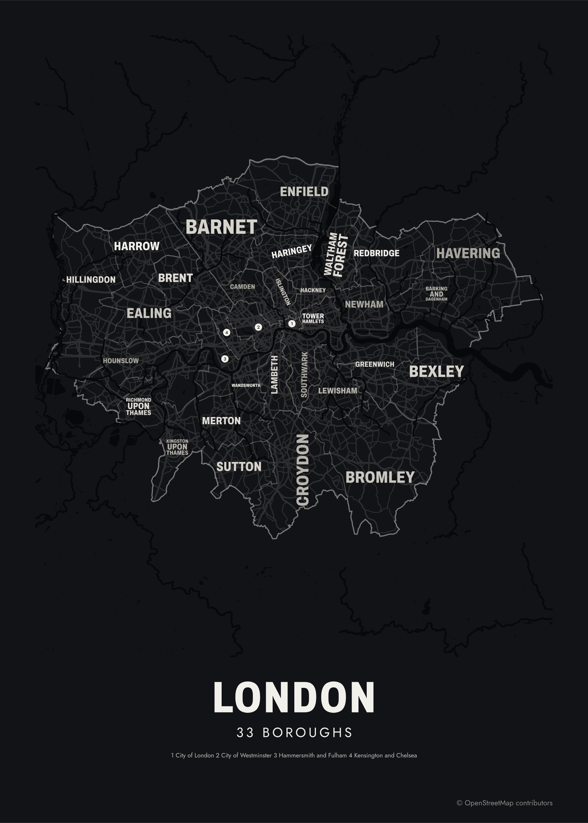 Typographic London map: the names fill their boroughsEdit this →More neighborhood maps →
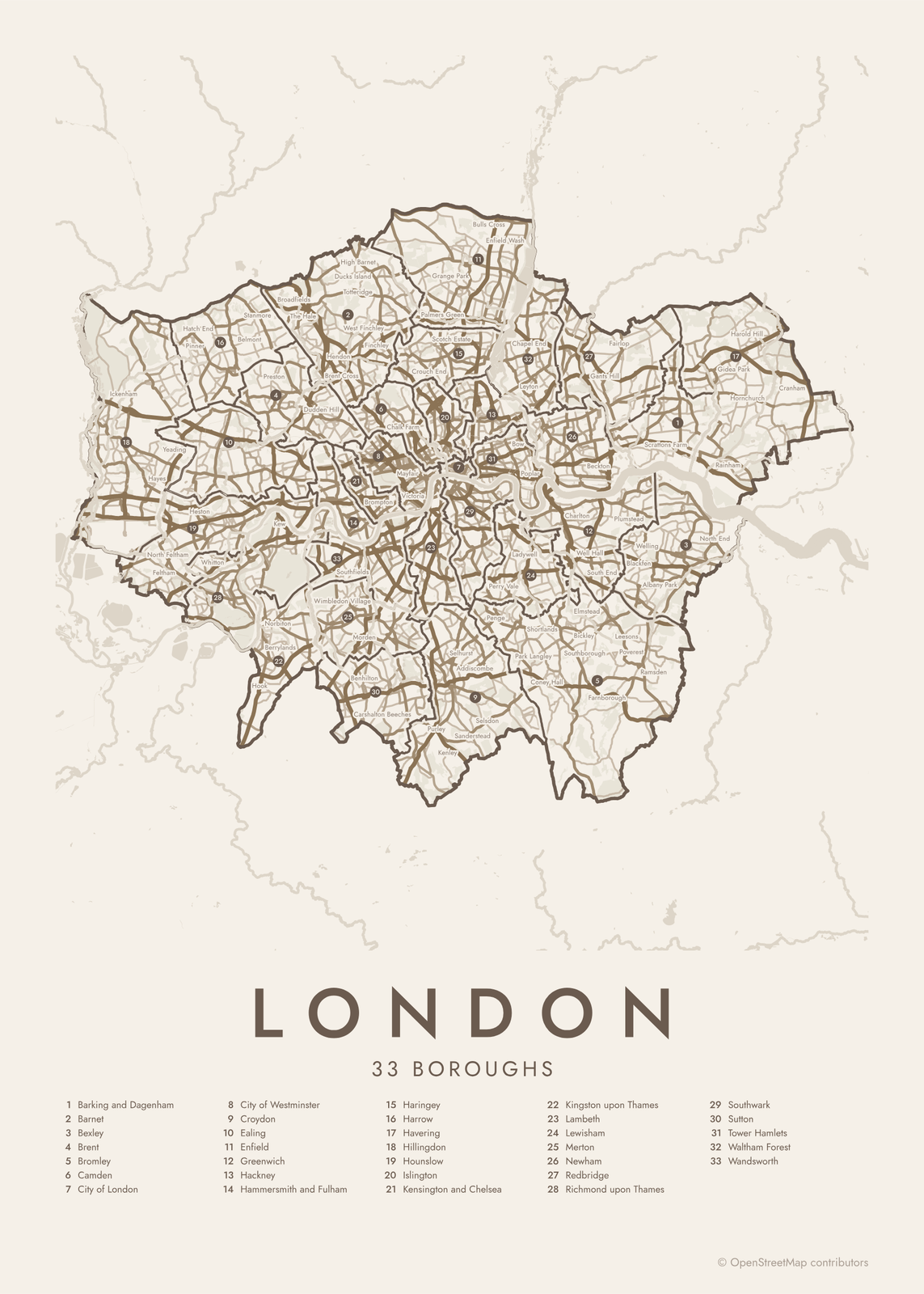 London street map with numbered boroughs and their listEdit this →More neighborhood maps →
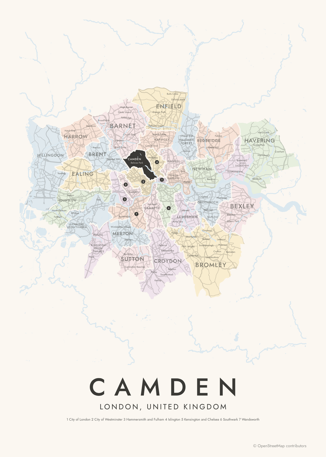 Camden highlighted on a map of LondonEdit this →More neighborhood maps →
How London is divided
Greater London has 32 London boroughs and the City of London. The boroughs were created on April 1, 1965, under the London Government Act 1963, which merged older boroughs and districts into larger ones. The City of London is the 33rd area but not a borough: it's the old Square Mile, run by the City of London Corporation. Westminster is a borough with city status, so its official name is the City of Westminster. The boroughs run local services, and since 2000 the Mayor of London and the London Assembly handle citywide matters.
Each borough holds many neighborhoods. Hackney takes in Shoreditch, Dalston, Hoxton and Stoke Newington, and Kensington and Chelsea takes in Notting Hill, Chelsea and South Kensington. Many of these names come from old villages and parishes and have no official borders. That's why they appear on the map as labels, not areas: more than 600 of them, so you can find your own corner of London inside its borough.
All 33 boroughs of London
- Barking and Dagenham
- Barnet
- Bexley
- Brent
- Bromley
- Camden
- City of London
- City of Westminster
- Croydon
- Ealing
- Enfield
- Greenwich
- Hackney
- Hammersmith and Fulham
- Haringey
- Harrow
- Havering
- Hillingdon
- Hounslow
- Islington
- Kensington and Chelsea
- Kingston upon Thames
- Lambeth
- Lewisham
- Merton
- Newham
- Redbridge
- Richmond upon Thames
- Southwark
- Sutton
- Tower Hamlets
- Waltham Forest
- Wandsworth
More neighborhood names on the map
Inside the boroughs, the map also names 679 smaller neighborhoods where they fit, from OpenStreetMap: Cowley, Harmondsworth, Yiewsley, West Drayton, Ickenham, Bedfont, Northwood, Hayes, Cranford, Feltham, Yeading, Hanworth, Hounslow West, Pinner, Hatch End, Heston, Rayners Lane, Hampton, Whitton, Hampton Hill, Greenford, Osterley, Worton, Spring Grove, Harrow Weald, Strawberry Hill, Hanwell, Sudbury Hill, Wealdstone, St Margarets, Perivale, Belmont, Sudbury, Kenton, Hampton Wick, Stanmore, Ham, Hook, Petersham, Surbiton and more. Turn them off under Names if you want only the boroughs.
Boroughs and neighborhoods to know
- City of London: the Square Mile, the oldest part of London and its historic financial center, with St Paul's Cathedral.
- City of Westminster: the Houses of Parliament, Buckingham Palace and most of the West End.
- Camden: the markets of Camden Town, the British Museum in Bloomsbury and Hampstead Heath.
- Greenwich: a royal borough, home to the Royal Observatory, the prime meridian and the Cutty Sark.
- Richmond upon Thames: Richmond Park with its free-roaming deer, and the Royal Botanic Gardens at Kew.
- Notting Hill: Portobello Road Market and the Notting Hill Carnival, held each year on the August bank holiday weekend.
- Brixton: a South London neighborhood in Lambeth, known for Brixton Market and Electric Avenue.
- Shoreditch: an East London neighborhood in Hackney, at the edge of the City, known for its street art and converted warehouses.
How to make your London neighborhood poster
- Open the London map.
- Pick a style: Colored areas, Typographic (the names fill the map) or a Street map with the borders over the streets.
- Tap your own neighborhood to highlight it; it becomes the poster's title.
- Drag and zoom to frame the whole city or just your part of it, then pick a size and download the print file.
Questions
How many boroughs does London have?
London has 32 boroughs. The City of London sits at the center and is governed separately, so Greater London is made up of 33 local areas. This map shows all 33.
Is the City of London a borough?
No. The City of London is the Square Mile at London's historic core, run by the City of London Corporation, with its own Lord Mayor and its own police force. It's not the same as the City of Westminster next door, which is one of the 32 boroughs.
Are places like Shoreditch and Brixton boroughs?
No, they're neighborhoods inside boroughs. Shoreditch is in Hackney, Brixton in Lambeth and Notting Hill in Kensington and Chelsea. Neighborhoods have no official borders, so they print as small labels inside their borough.
Do London postcodes match the boroughs?
No. Postcodes like SW11 or E8 were drawn for mail delivery and don't follow borough borders, so one postcode district can fall in two boroughs. This map shows boroughs, not postcodes.
Where do the London boundaries come from?
From OpenStreetMap (© OpenStreetMap contributors). Streets and water are OpenStreetMap's. Boundaries are a snapshot and can differ from what neighbors call home; tell us if one looks wrong.
What sizes can I print?
US Letter, 8 × 10, 11 × 14, 12 × 16 and 12 × 18 in, A4 and A3, free. You download a 300 DPI JPEG drawn at the size you pick. Larger prints, up to 24 × 36 in, are coming soon.
Related

Gift ideas by occasion




Every example is made with the Posterage generators. Change anything, then download it as a 300 DPI JPEG.