Los Angeles map poster the grid, the freeways and the coast, as art
Draw Los Angeles as clean line art: downtown's tilted grid, the long boulevards and freeways, Griffith Park and the coast. Center it on Silver Lake, Venice or your own street, pick one of 18 color styles, and mark the spot. City Roads draws every road in one color, which suits a city this big.
On the wall
A few of them framed at home. Open any one to make it yours.
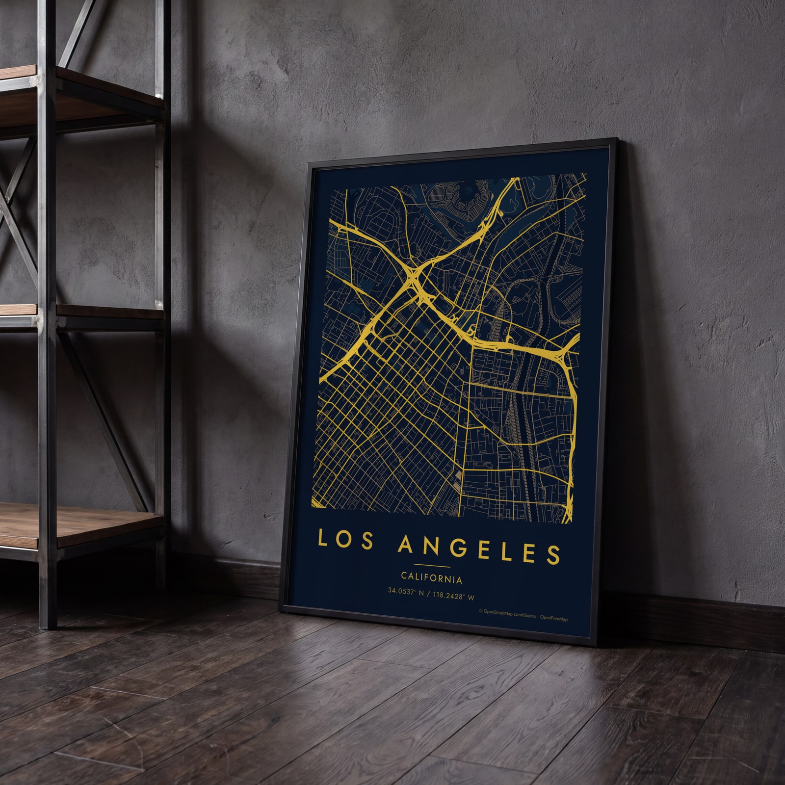 Midnight blue street map of central Los AngelesEdit this →
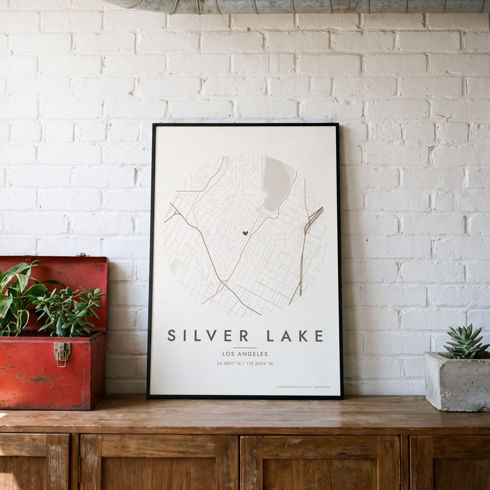 Round map of Silver Lake, Los Angeles, with a heartEdit this →
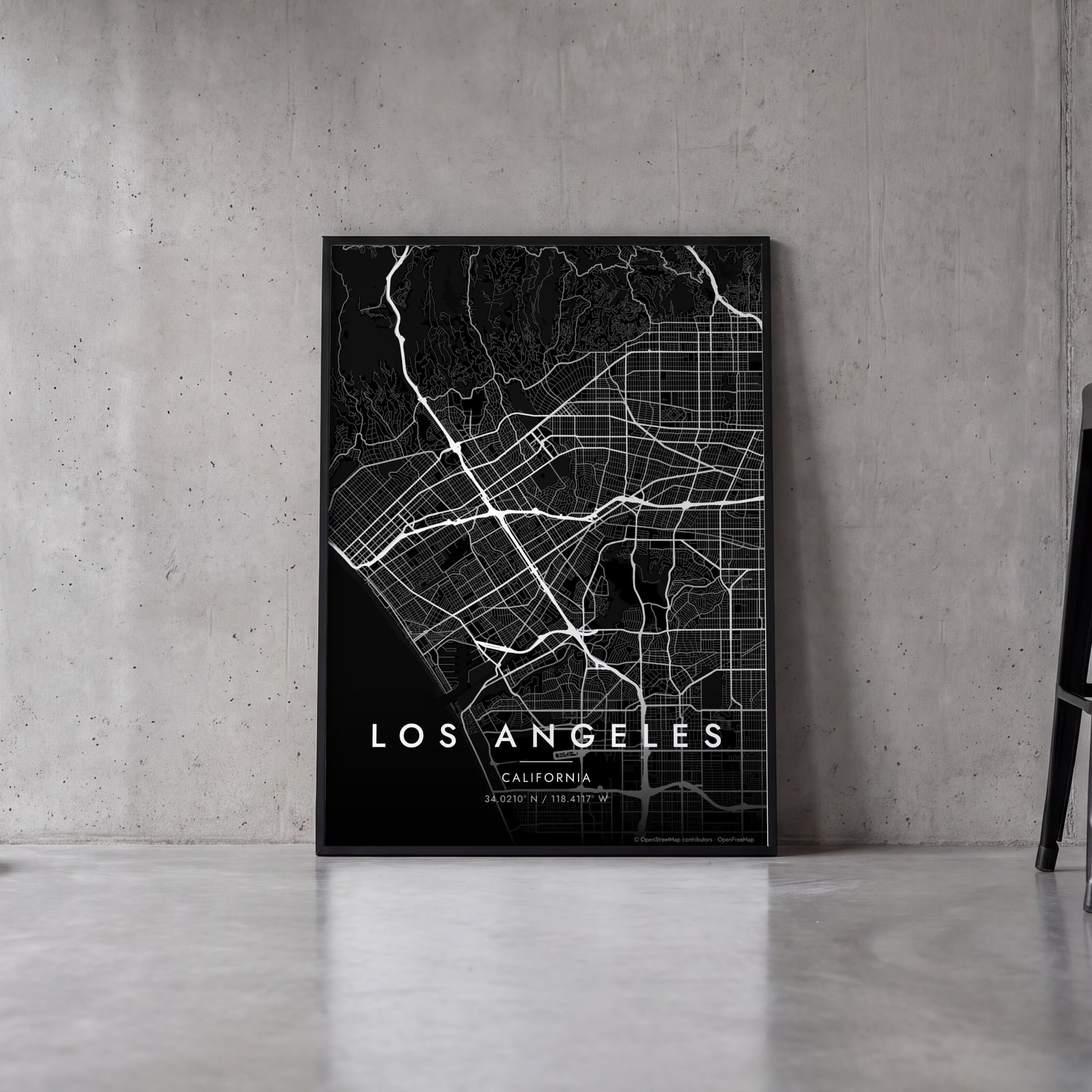 Los Angeles streets in white on black, edge to edgeEdit this →
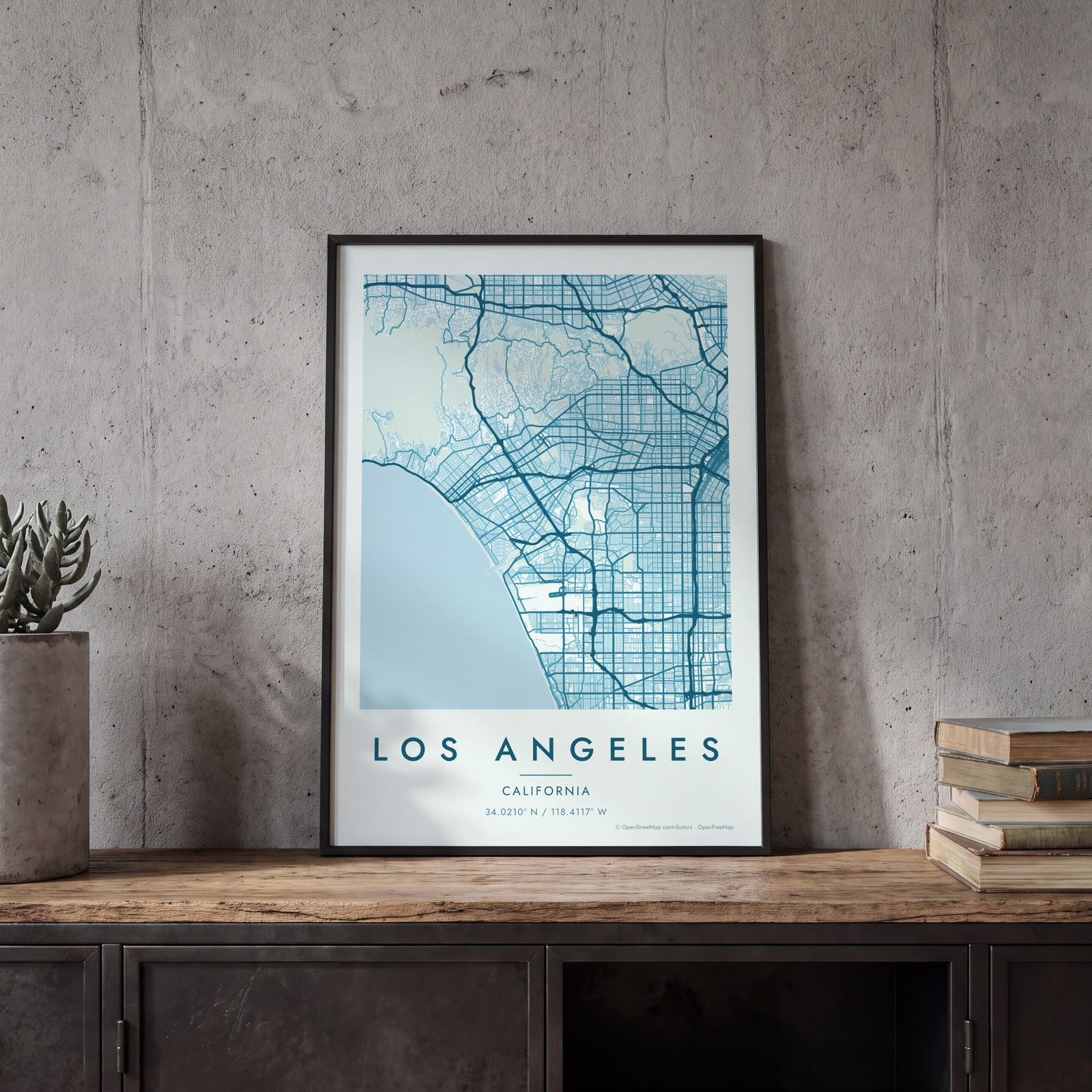
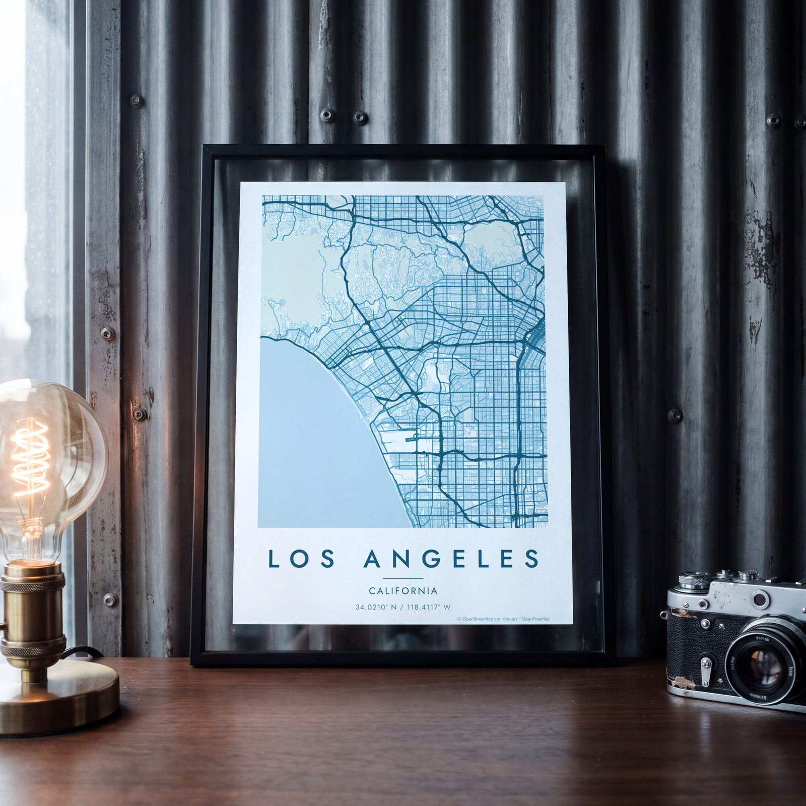 Los Angeles map poster: the whole city's streets, water and parksEdit this →
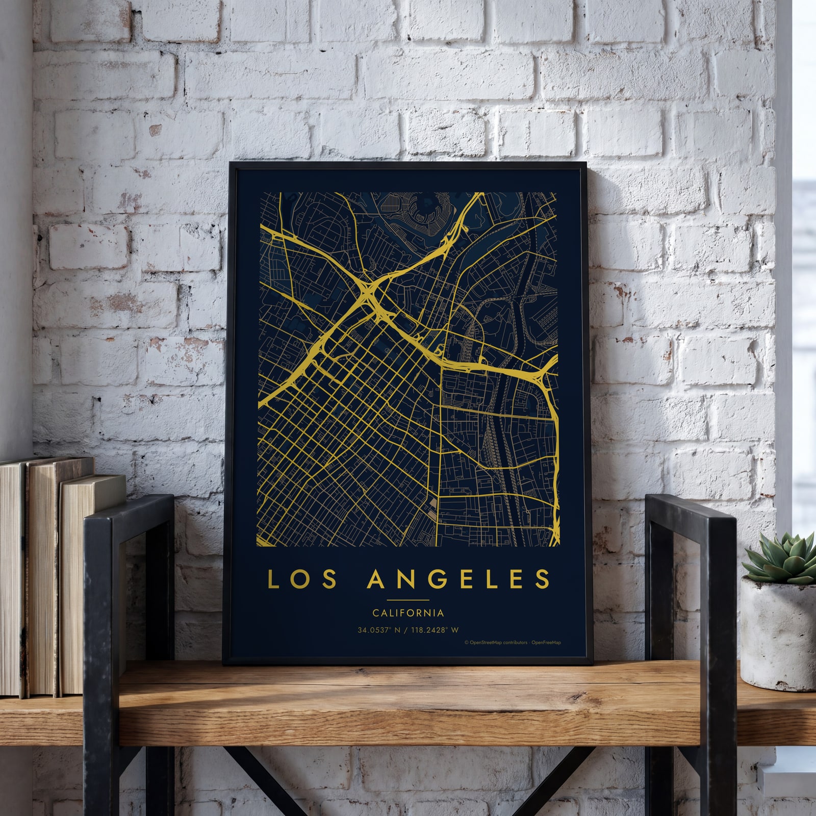 Midnight blue street map of central Los AngelesEdit this →
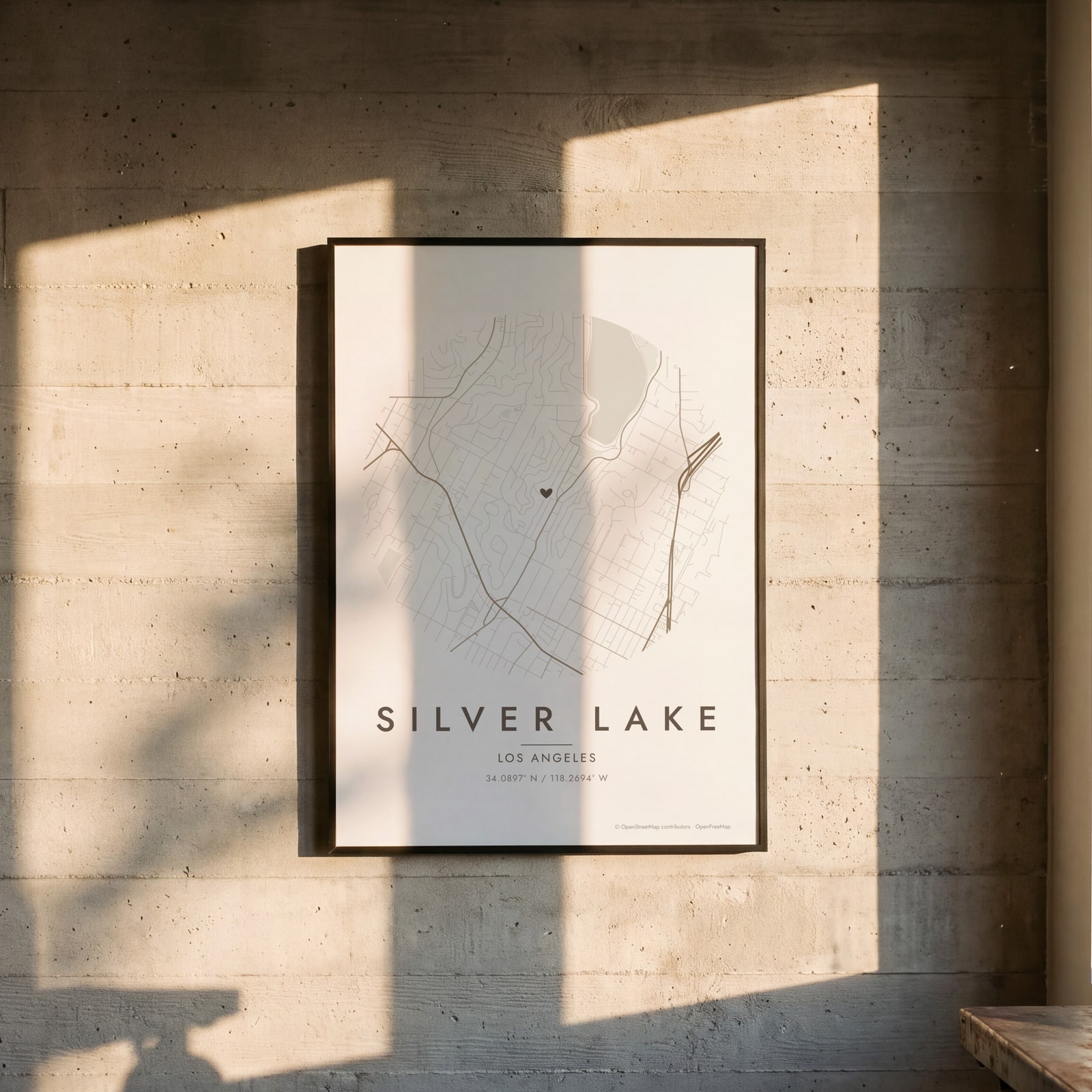 Round map of Silver Lake, Los Angeles, with a heartEdit this →
Examples
Open any of them to change the words, the place, the date and the style, then download the print file.
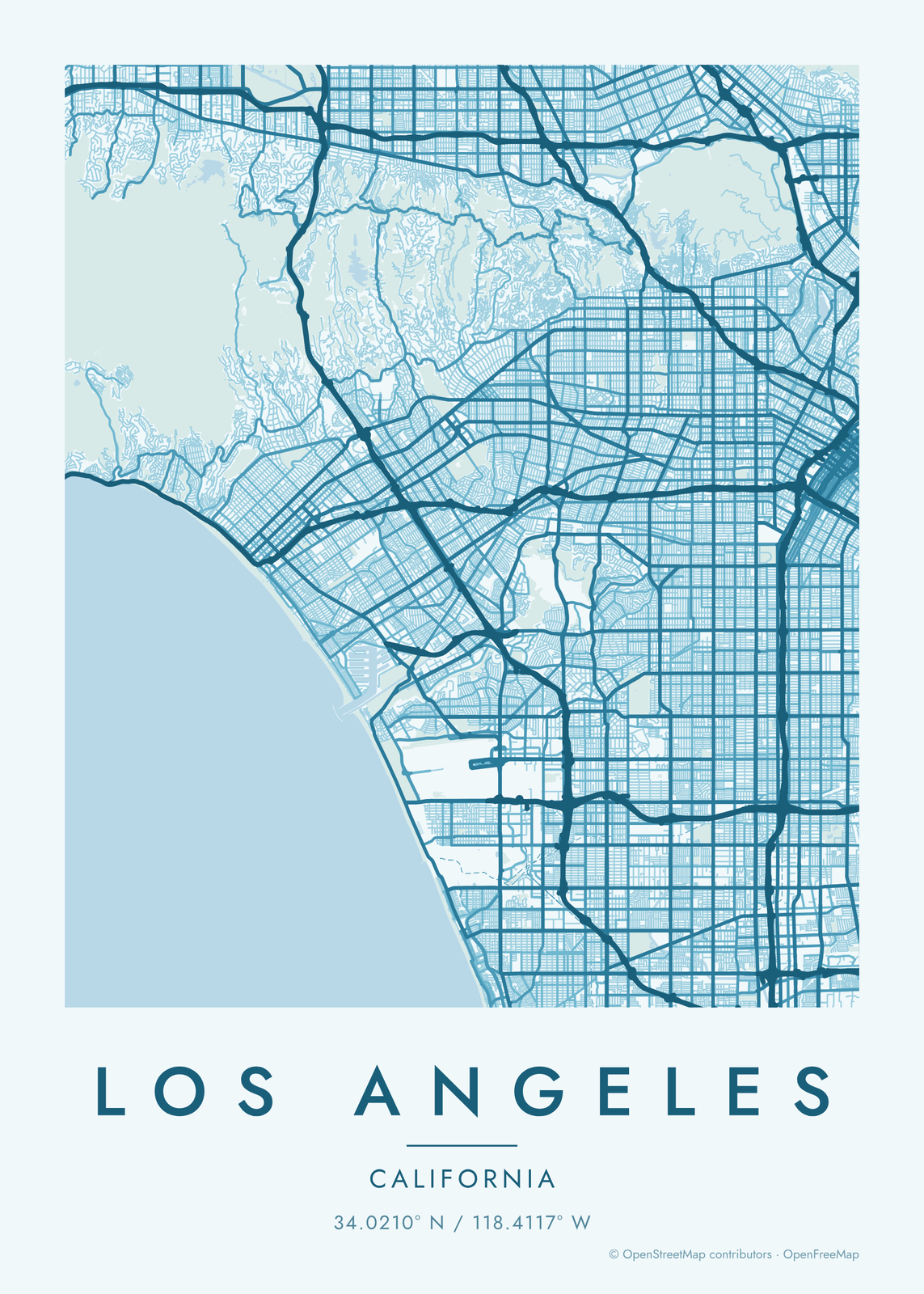 Los Angeles map poster: the whole city's streets, water and parksEdit this →More map art →
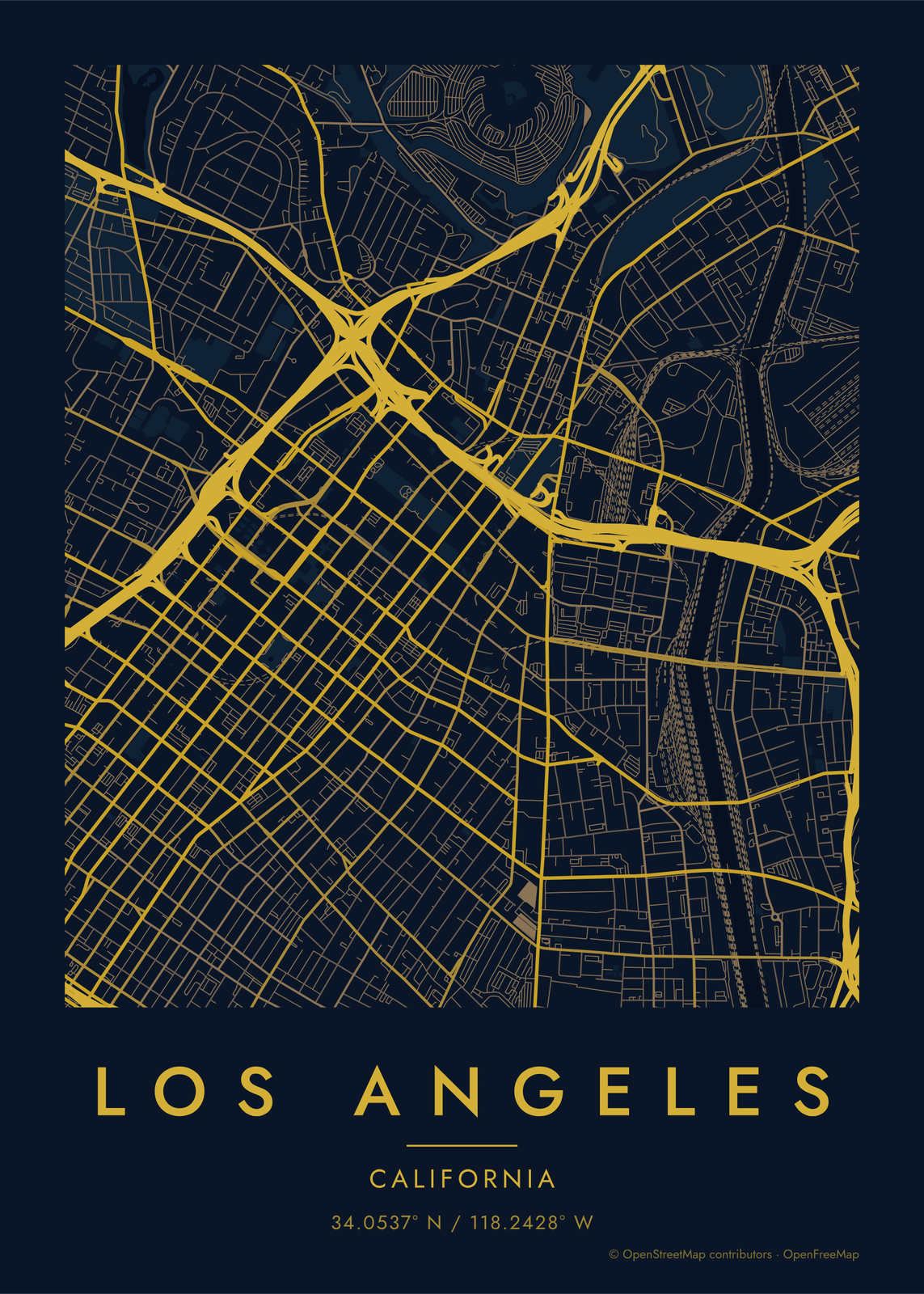 Midnight blue street map of central Los AngelesEdit this →More map art →
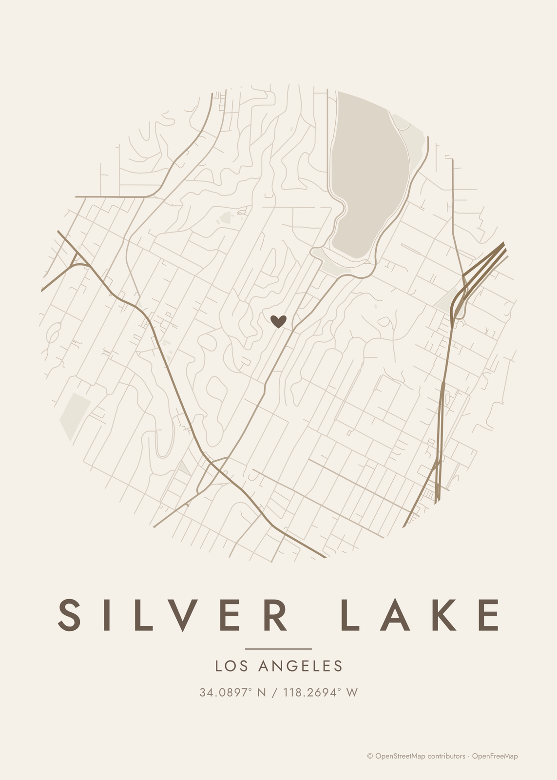 Round map of Silver Lake, Los Angeles, with a heartEdit this →More map art →
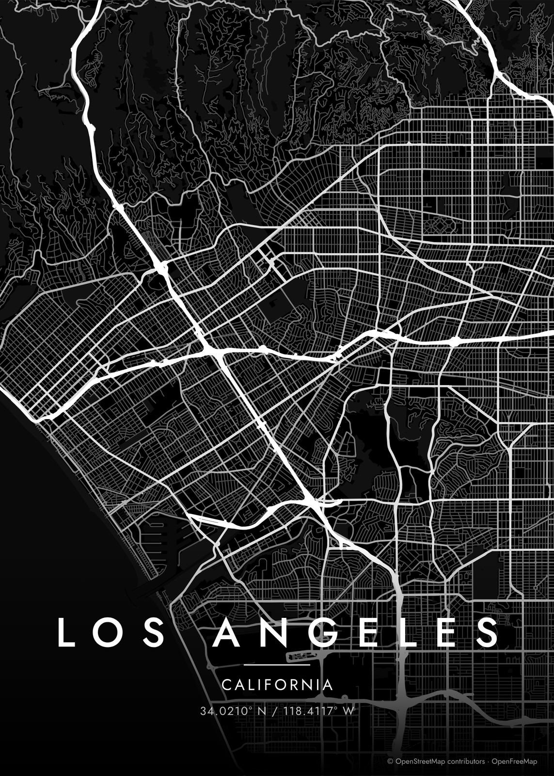 Los Angeles streets in white on black, edge to edgeEdit this →More map art →
How the streets of Los Angeles are laid out
Los Angeles began in 1781 as a Spanish pueblo, with a plaza and streets set at an angle, about 36 degrees off north. Downtown still follows that tilt. Later surveys used a plain north-south grid, so the two meet at odd angles west of downtown, along streets like Hoover. Long boulevards like Wilshire, Sunset and Santa Monica run across the basin to the ocean.
The city's shape is unusual. The Santa Monica Mountains split the basin from the San Fernando Valley, with Mulholland Drive along the ridge, and Griffith Park covers more than 4,000 acres at their eastern end. A thin strip of city runs south to the harbor at San Pedro, and separate cities like Santa Monica, Beverly Hills and Culver City are nearly surrounded by it. The Los Angeles River runs through it all, mostly in a concrete channel.
Places to frame
- Silver Lake: hillside streets around the reservoir.
- Echo Park: the lake in the park, next to Elysian Park.
- Los Feliz: the streets below Griffith Park and the Observatory.
- Venice: the canals, the boardwalk and the beach.
- Downtown: the old pueblo's tilted grid, south from the plaza at Olvera Street.
- Highland Park: York Boulevard and Figueroa Street, along the Arroyo Seco.
- San Pedro: the harbor at the south end of the city's long, thin strip.
Other ways to draw Los Angeles
Road map art draws every road of Los Angeles in a single color, as a dense line portrait of the whole city.
The Los Angeles neighborhood map names every part of the city: all 114 neighborhoods, each in its own color, with yours highlighted if you like.
How to make your Los Angeles map
- Open the Los Angeles map, or search any street, neighborhood or address.
- Drag to center it and zoom to set how much it shows, from a few blocks to the whole city.
- Pick colors and a shape: framed, edge to edge or a circle; add a heart, a pin or a dot at the center.
- Write a title and a line under it, or keep the city's name, then download the print file.
Questions
Which part of Los Angeles should I put on the map?
Los Angeles is too big to read well all at once, so most people pick a part: downtown with its tilted grid, the hills around Griffith Park, or the coast at Venice and Santa Monica. For a wide stretch of the city as one pattern, City Roads draws every road in one color.
Can I include Santa Monica or Pasadena?
Yes. The map isn't cut at city limits. It shows everything in the area you choose, so Santa Monica, Beverly Hills or Pasadena come in when you center the map near them.
Can I mark my street or where we met?
Yes. Drag the map so the spot is at the center and add a heart, a pin or a dot. Street names aren't printed on the map, so write the place or the date in the subtitle.
Where does the map data come from?
From OpenStreetMap, the open map built by volunteers. Its credit line prints small in the corner of every map.
What sizes can I print?
US Letter, 8 × 10, 11 × 14, 12 × 16 and 12 × 18 in, A4 and A3, free. You download a 300 DPI JPEG drawn at the size you pick. Larger prints, up to 24 × 36 in, are coming soon.
Related
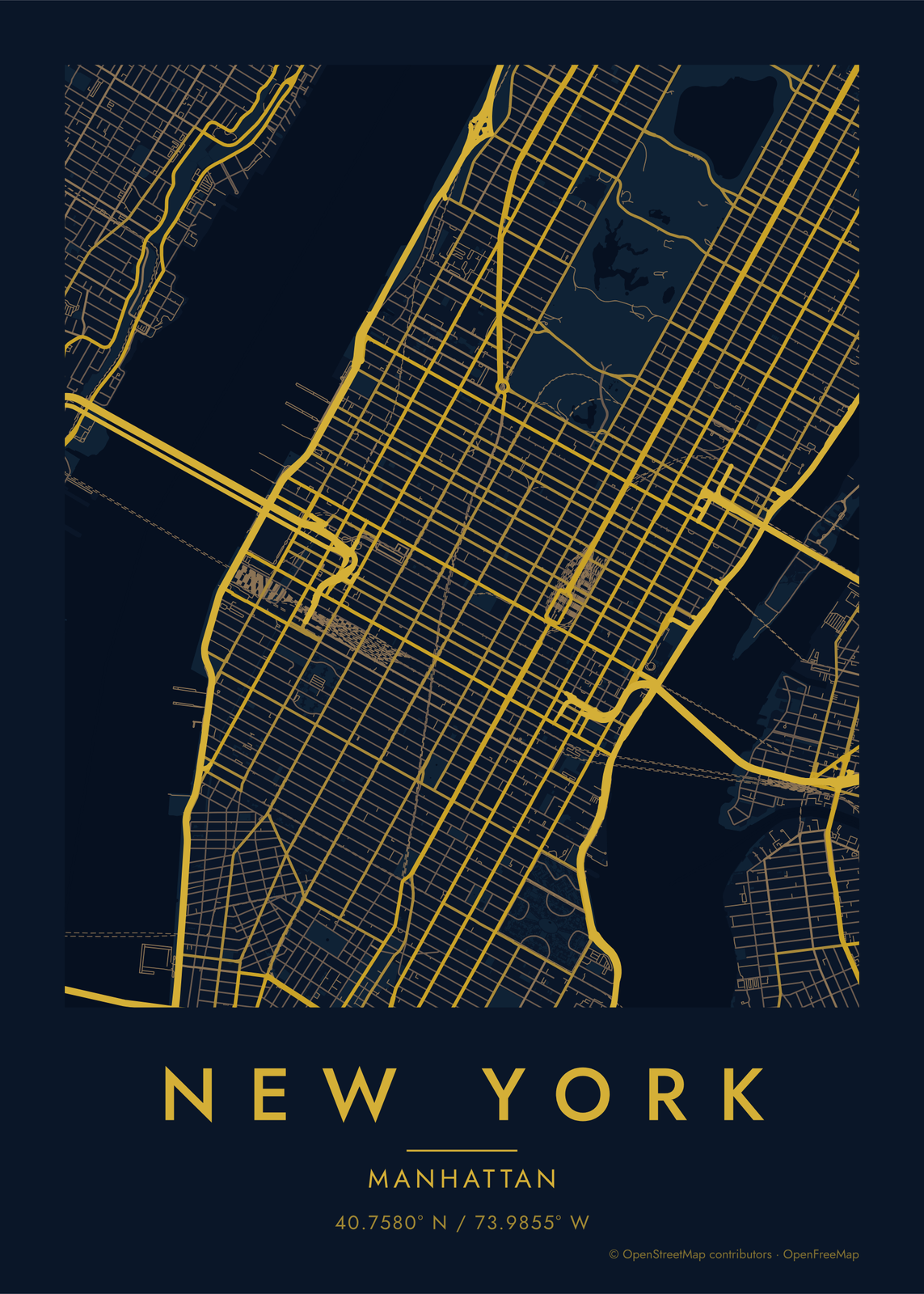 Custom map artthe streets of any place, as a poster
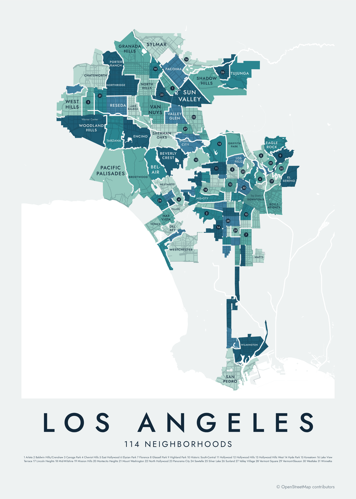 Los Angeles neighborhood map114 neighborhoods, from Sylmar to San Pedro
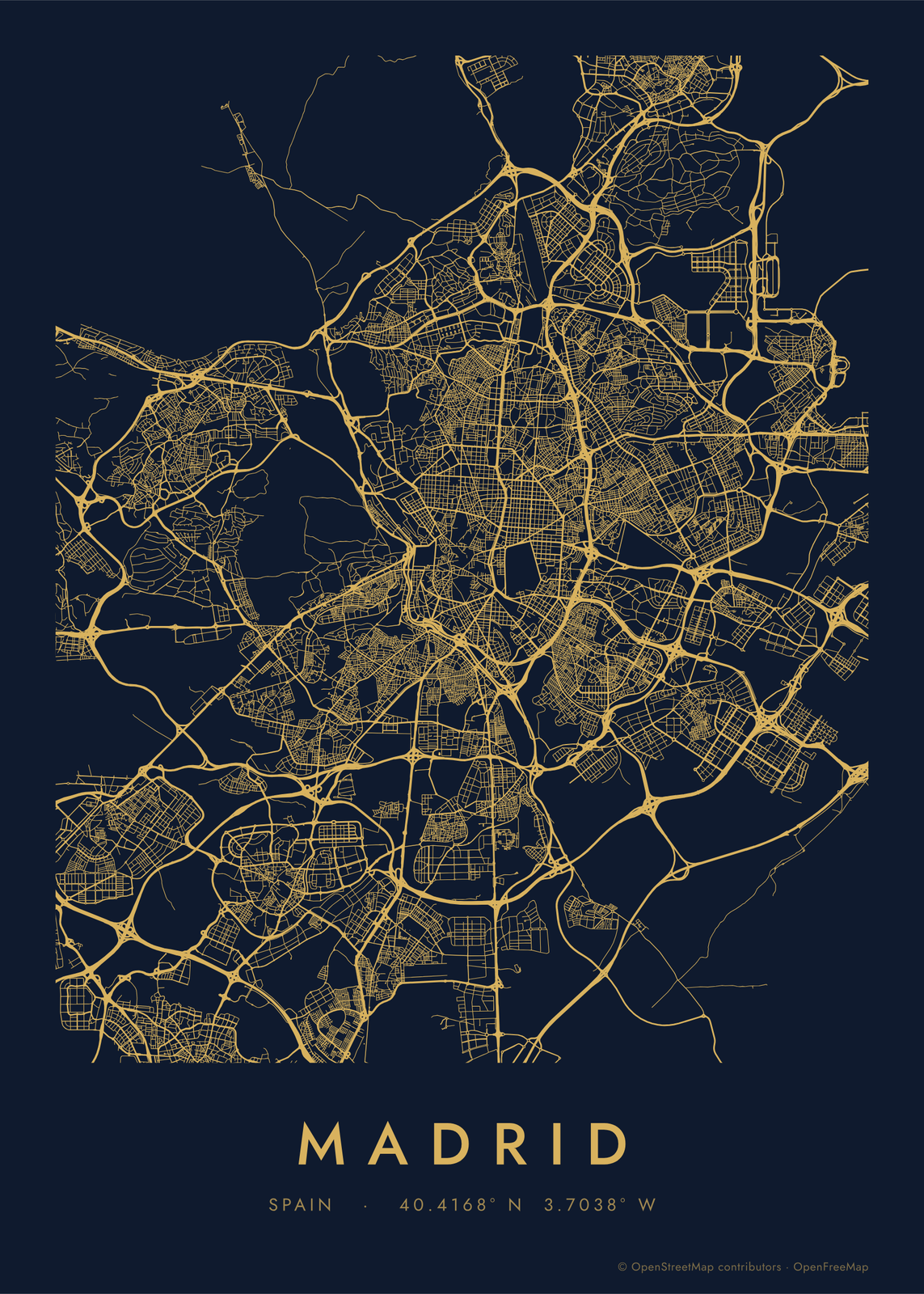 Road map artevery road of a city, in a single color
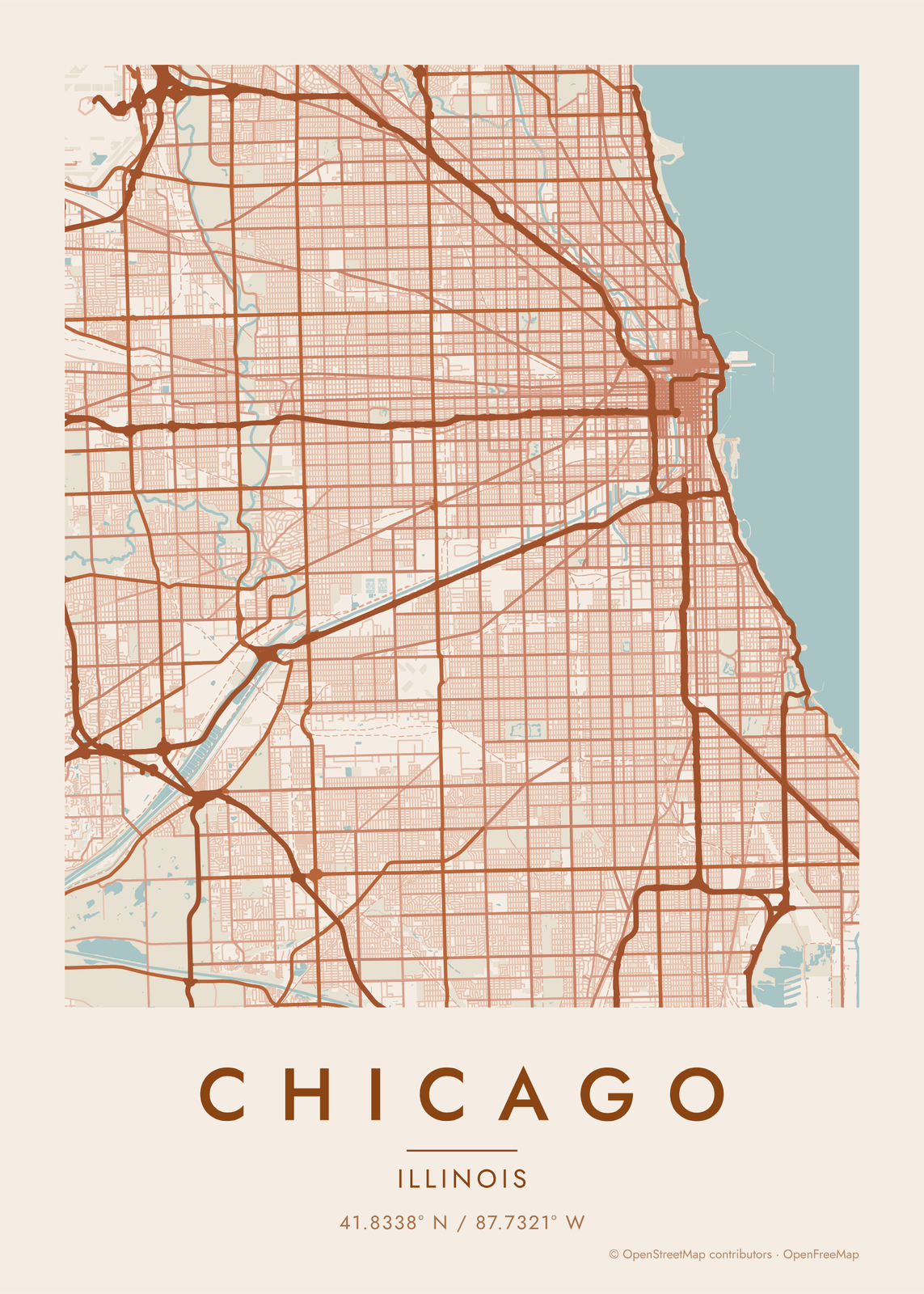 Chicago map posterthe grid, the river and the lake, as art
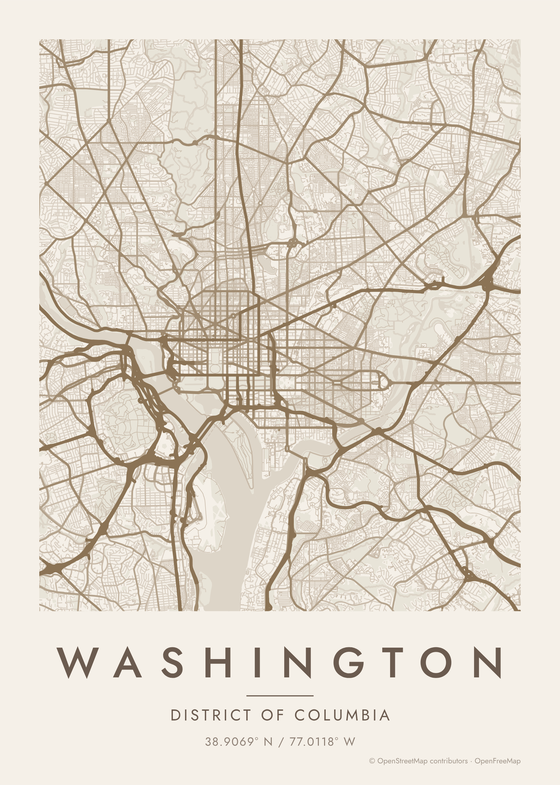 Washington DC map posterthe grid, the avenues and the circles, as art
Gift ideas by occasion




Every example is made with the Posterage generators. Change anything, then download it as a 300 DPI JPEG.