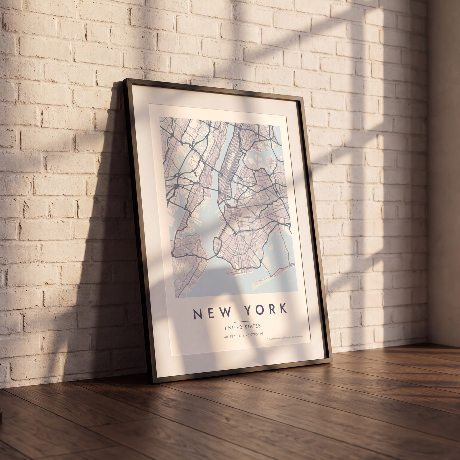
New York map poster the grid, the park and the rivers, as art
Draw New York as clean line art: Manhattan's grid between the Hudson and the East River, Broadway cutting across it, and Central Park in the middle. Center it on the West Village, Williamsburg or your first apartment, pick one of 18 color styles, and mark the spot. City Roads draws every road in one color, for a denser look.
On the wall
A few of them framed at home. Open any one to make it yours.
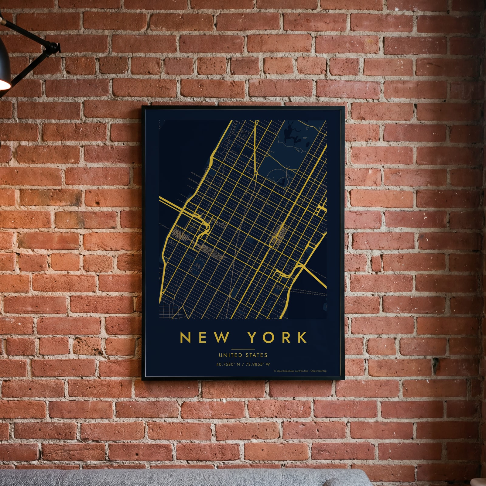 Midnight blue street map of central New YorkEdit this →
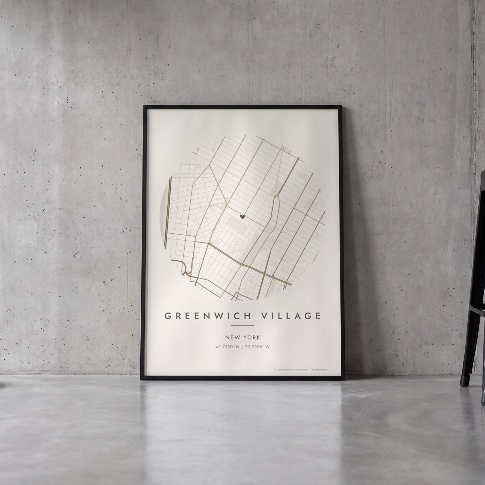 Round map of Greenwich Village, New York, with a heartEdit this →
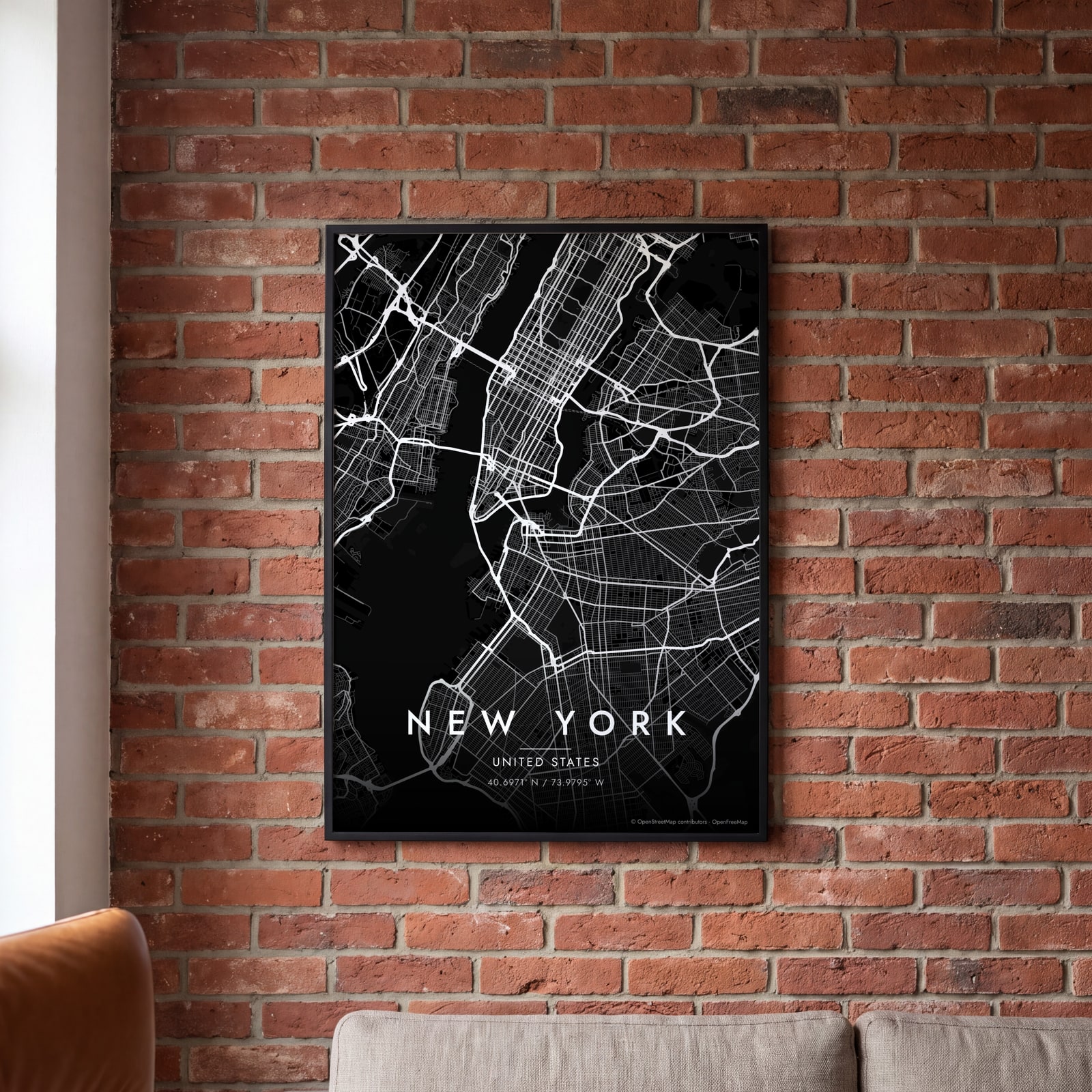 New York streets in white on black, edge to edgeEdit this →
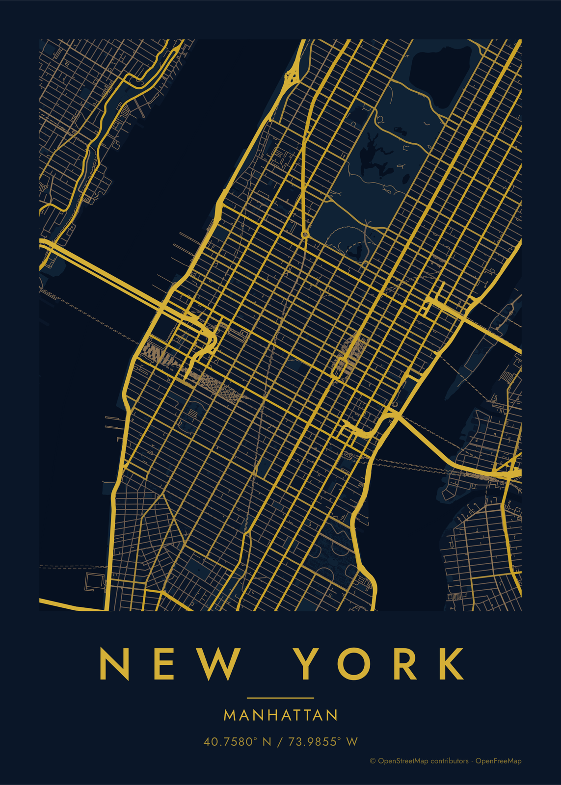
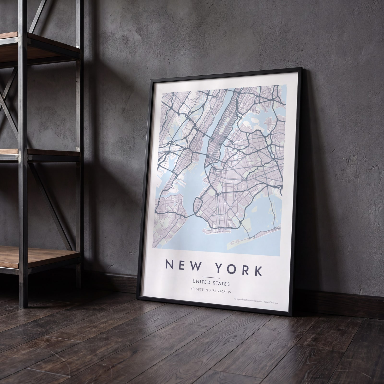 New York map poster: the whole city's streets, water and parksEdit this →
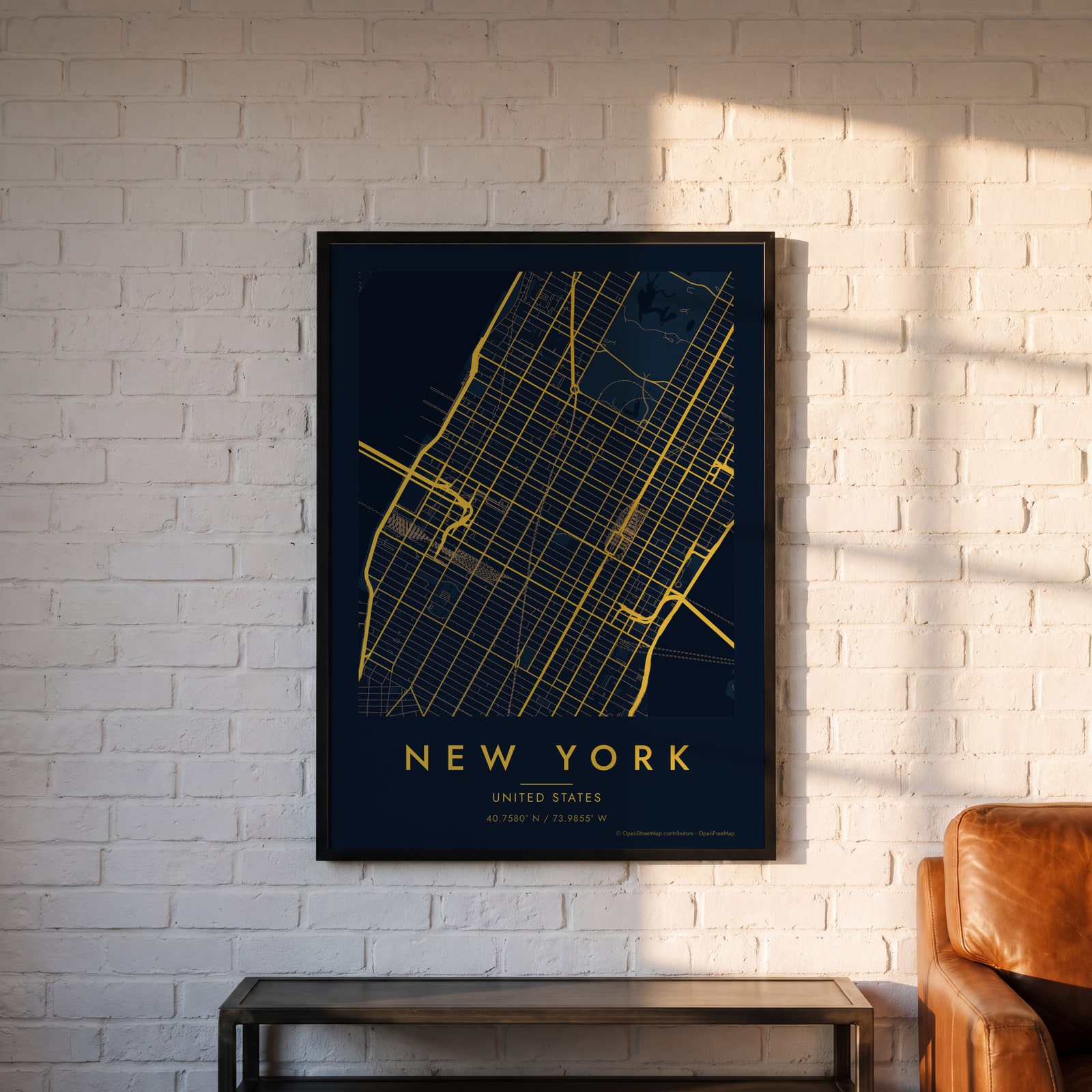 Midnight blue street map of central New YorkEdit this →
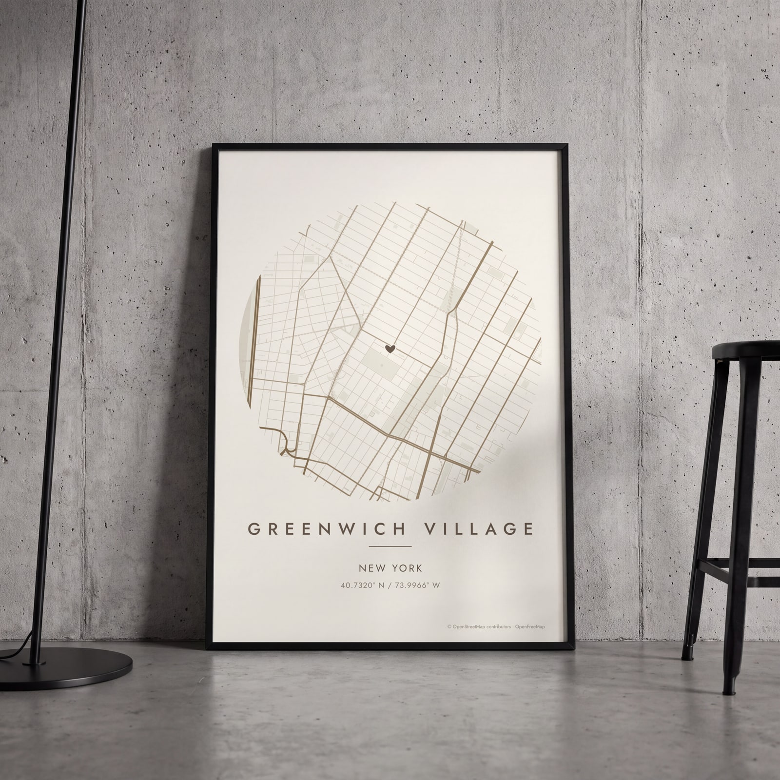 Round map of Greenwich Village, New York, with a heartEdit this →
Examples
Open any of them to change the words, the place, the date and the style, then download the print file.
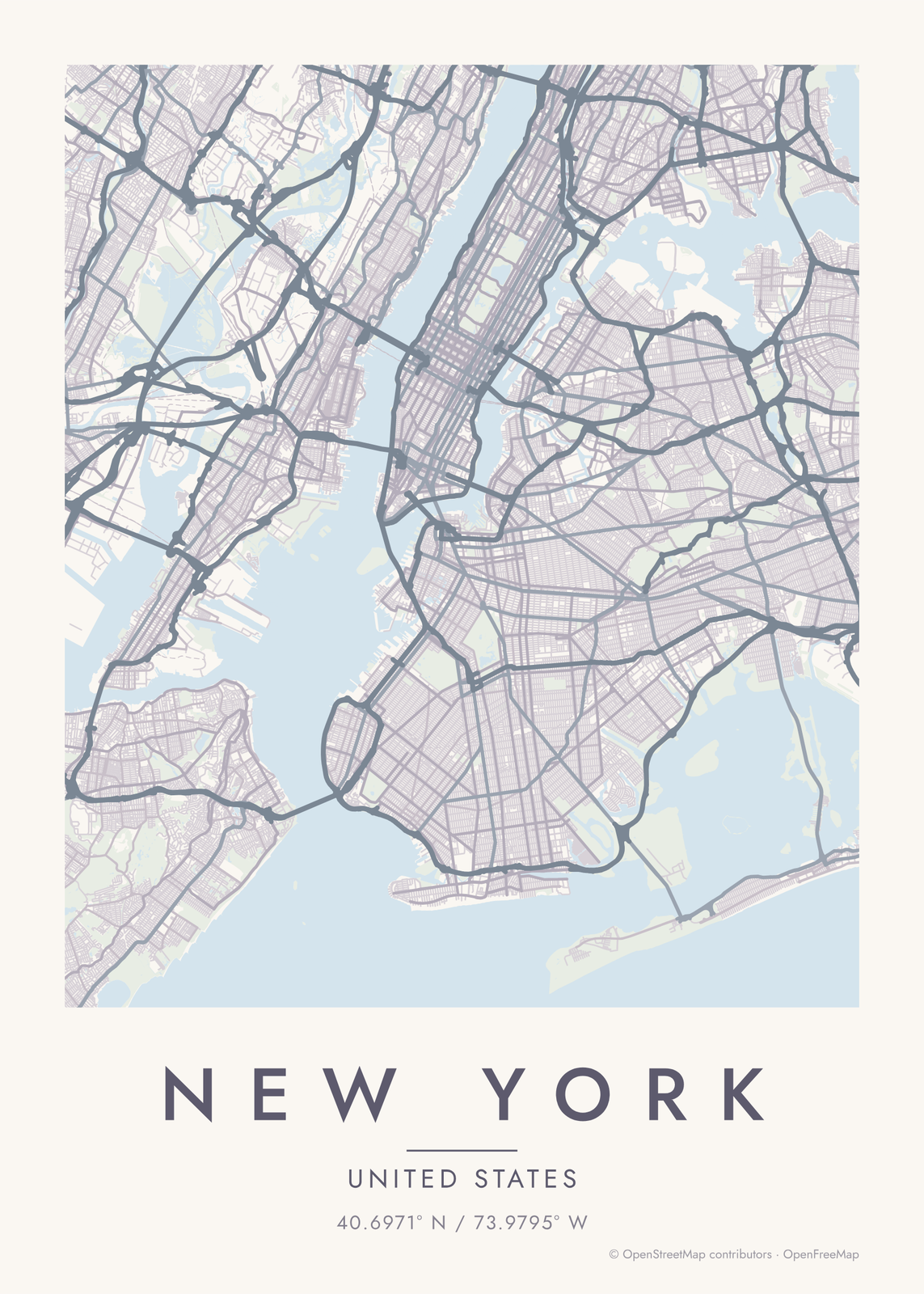 New York map poster: the whole city's streets, water and parksEdit this →More map art →
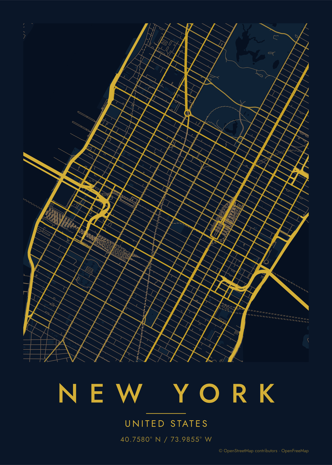 Midnight blue street map of central New YorkEdit this →More map art →
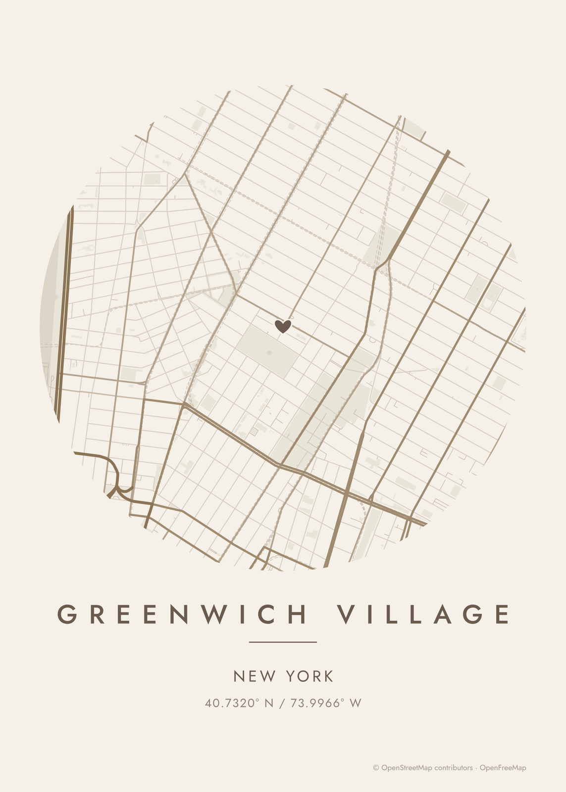 Round map of Greenwich Village, New York, with a heartEdit this →More map art →
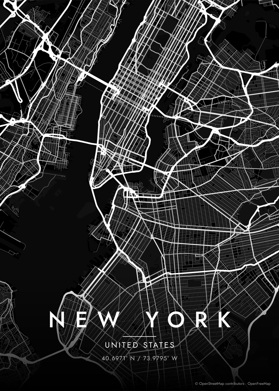 New York streets in white on black, edge to edgeEdit this →More map art →
How New York's streets are laid out
Most of Manhattan follows the Commissioners' Plan of 1811, a grid of numbered streets crossed by long avenues. It's tilted about 29 degrees from true north to match the island, so Manhattan's 'north' isn't quite north on a map. Broadway is older than the grid and cuts across it on a diagonal, and where it crosses an avenue you get the squares: Union, Madison, Herald and Times.
The grid starts around Houston Street on the east side and 14th Street on the west. Below that, Lower Manhattan and Greenwich Village keep their older street patterns, where streets meet at odd angles and West 4th Street crosses West 10th. Central Park fills a long rectangle from 59th Street to 110th, and the Hudson, the East River and the Harlem River draw the island's edge, with Brooklyn and Queens across the water.
Places to frame
- Greenwich Village: Washington Square Park and the crooked streets west of it.
- East Village: Tompkins Square Park and Avenues A to D.
- Lower East Side: the tenement blocks south of Houston Street.
- Upper West Side: between Central Park and Riverside Park.
- Harlem: the blocks north of Central Park, around Marcus Garvey Park.
- Williamsburg, Brooklyn: the East River waterfront by the Williamsburg Bridge.
- Park Slope, Brooklyn: brownstone blocks along Prospect Park.
Other ways to draw New York
Road map art draws every road of New York in a single color, as a dense line portrait of the whole city.
The New York neighborhood map names every part of the city: all 5 boroughs or 197 neighborhoods, each in its own color, with yours highlighted if you like.
How to make your New York map
- Open the New York map, or search any street, neighborhood or address.
- Drag to center it and zoom to set how much it shows, from a few blocks to the whole city.
- Pick colors and a shape: framed, edge to edge or a circle; add a heart, a pin or a dot at the center.
- Write a title and a line under it, or keep the city's name, then download the print file.
Questions
Which part of New York should I put on the map?
Midtown and Central Park make the most recognizable map, with the grid running off in both directions. For a personal map, center it on the block where you lived or met, in Manhattan or across the river, and add a heart.
Can I turn the map so the avenues run straight up?
Yes. The map can be rotated to any angle, so you can turn Manhattan about 29 degrees and stand the grid upright, the way most New Yorkers picture it. Leave it at zero for a map that matches the compass.
Can I include Brooklyn and Queens?
Yes. The map isn't cut at Manhattan's edge. It shows everything in the area you choose, so zoom out and Brooklyn, Queens, Jersey City and Hoboken come in, with the rivers between them.
Where does the map data come from?
From OpenStreetMap, the open map built by volunteers. Its credit line prints small in the corner of every map.
What sizes can I print?
US Letter, 8 × 10, 11 × 14, 12 × 16 and 12 × 18 in, A4 and A3, free. You download a 300 DPI JPEG drawn at the size you pick. Larger prints, up to 24 × 36 in, are coming soon.
Related

Gift ideas by occasion




Every example is made with the Posterage generators. Change anything, then download it as a 300 DPI JPEG.