NYC neighborhood map five boroughs, 197 neighborhoods
This poster maps New York City as its five boroughs, then splits them into 197 named neighborhoods, from Riverdale to the Rockaways. Smaller names like Tribeca, Dumbo and Flushing show as labels. Highlight your neighborhood or your borough and print it.
On the wall
A few of them framed at home. Open any one to make it yours.
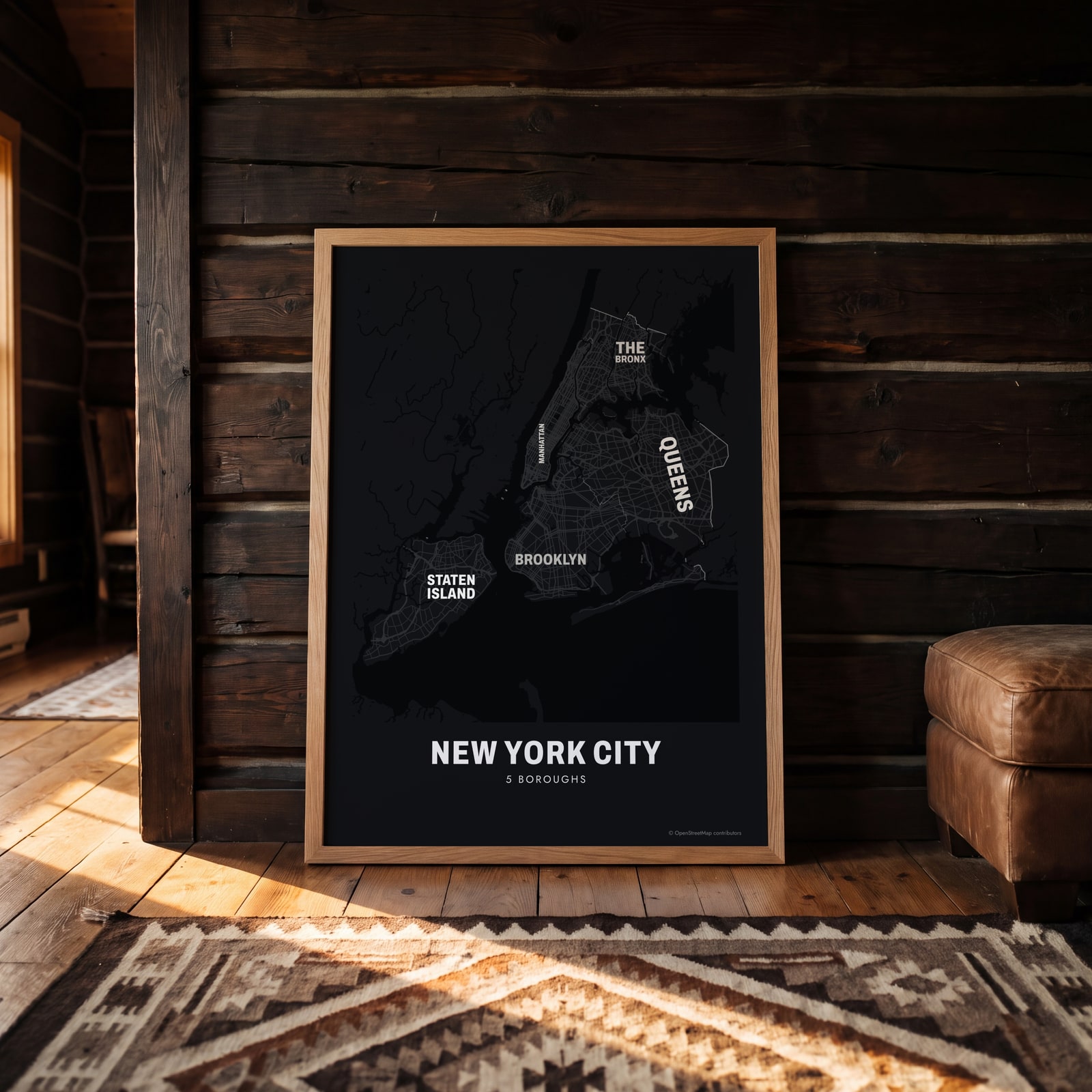 Typographic New York City map: the names fill their boroughsEdit this →
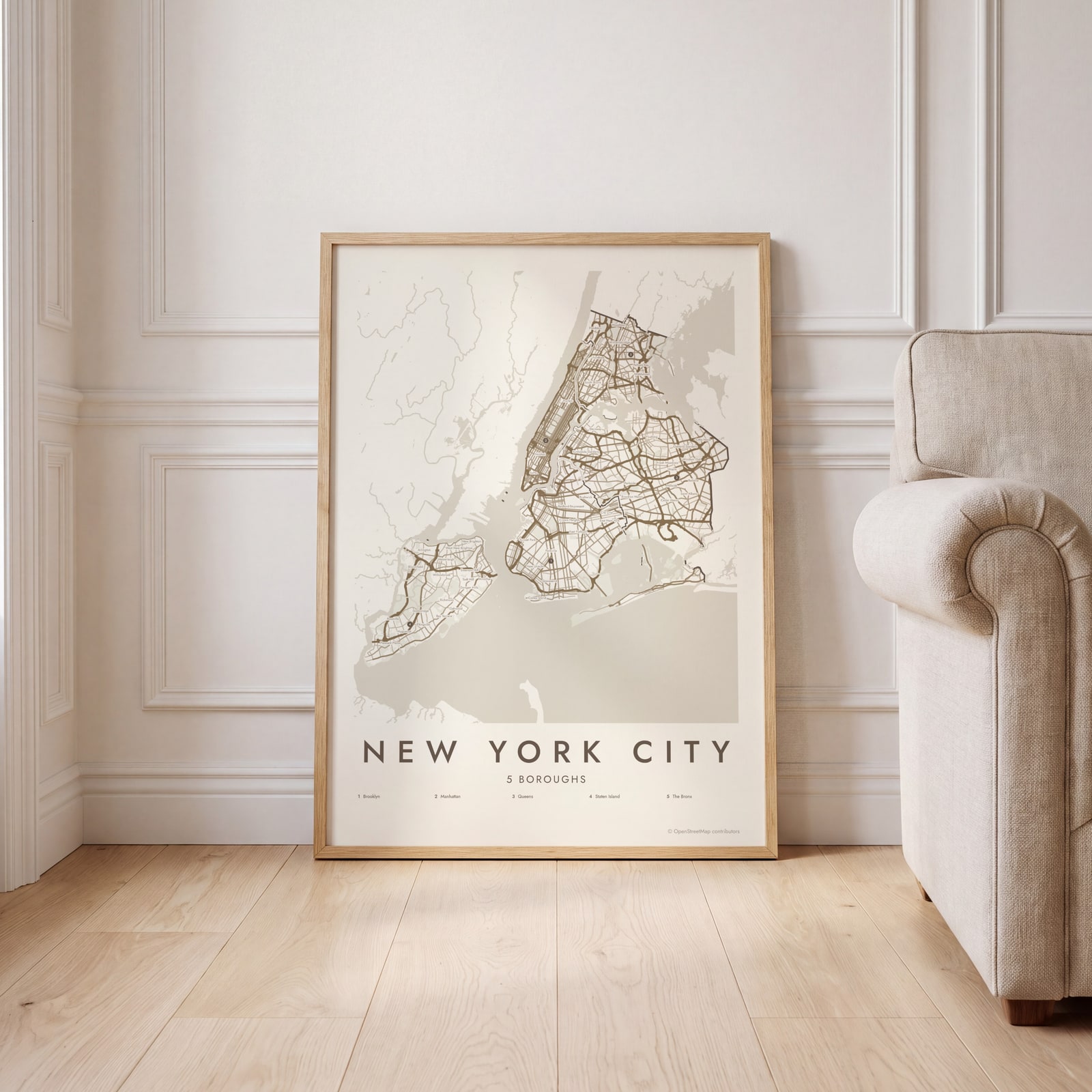 New York City street map with numbered boroughs and their listEdit this →
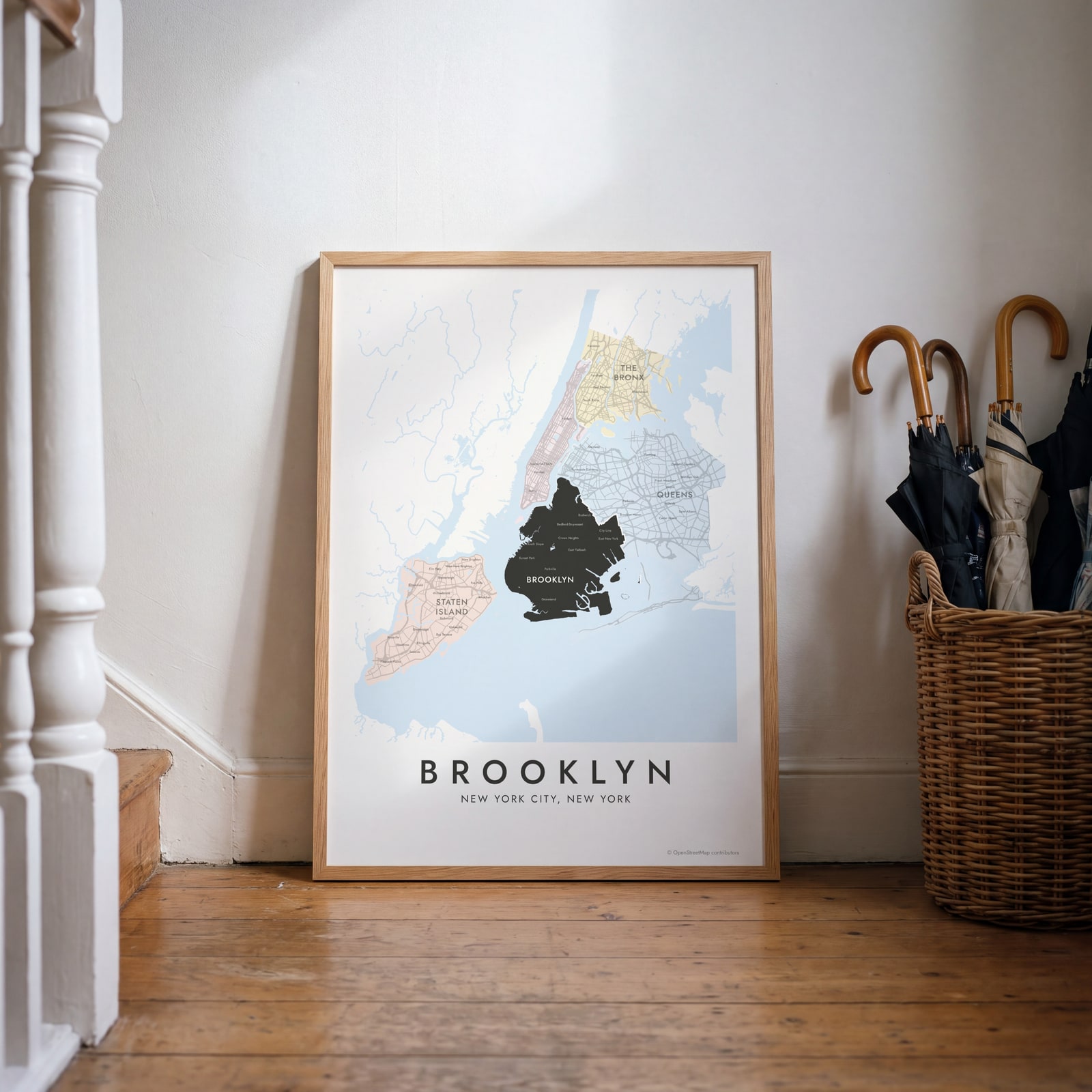 Brooklyn highlighted on a map of New York CityEdit this →
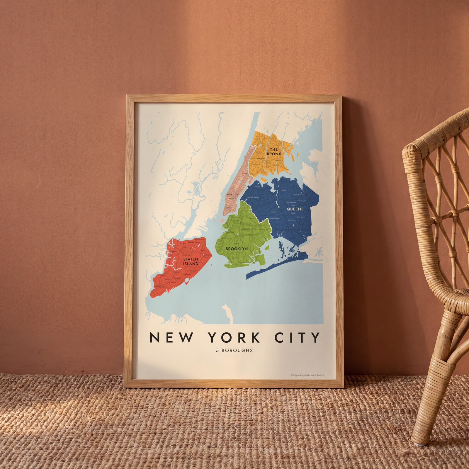
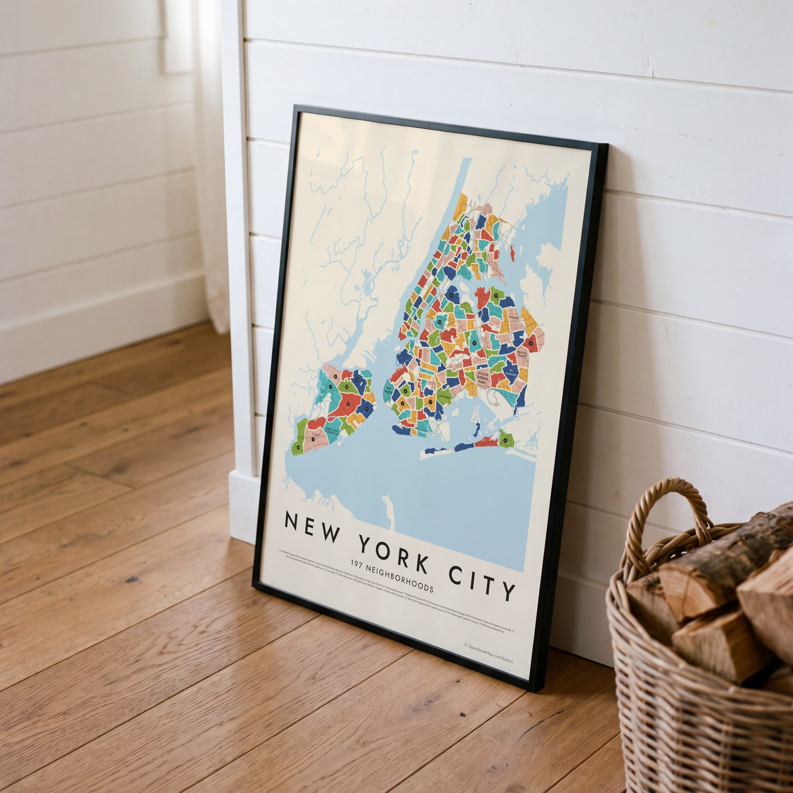 New York City's 197 neighborhoods in colorEdit this →
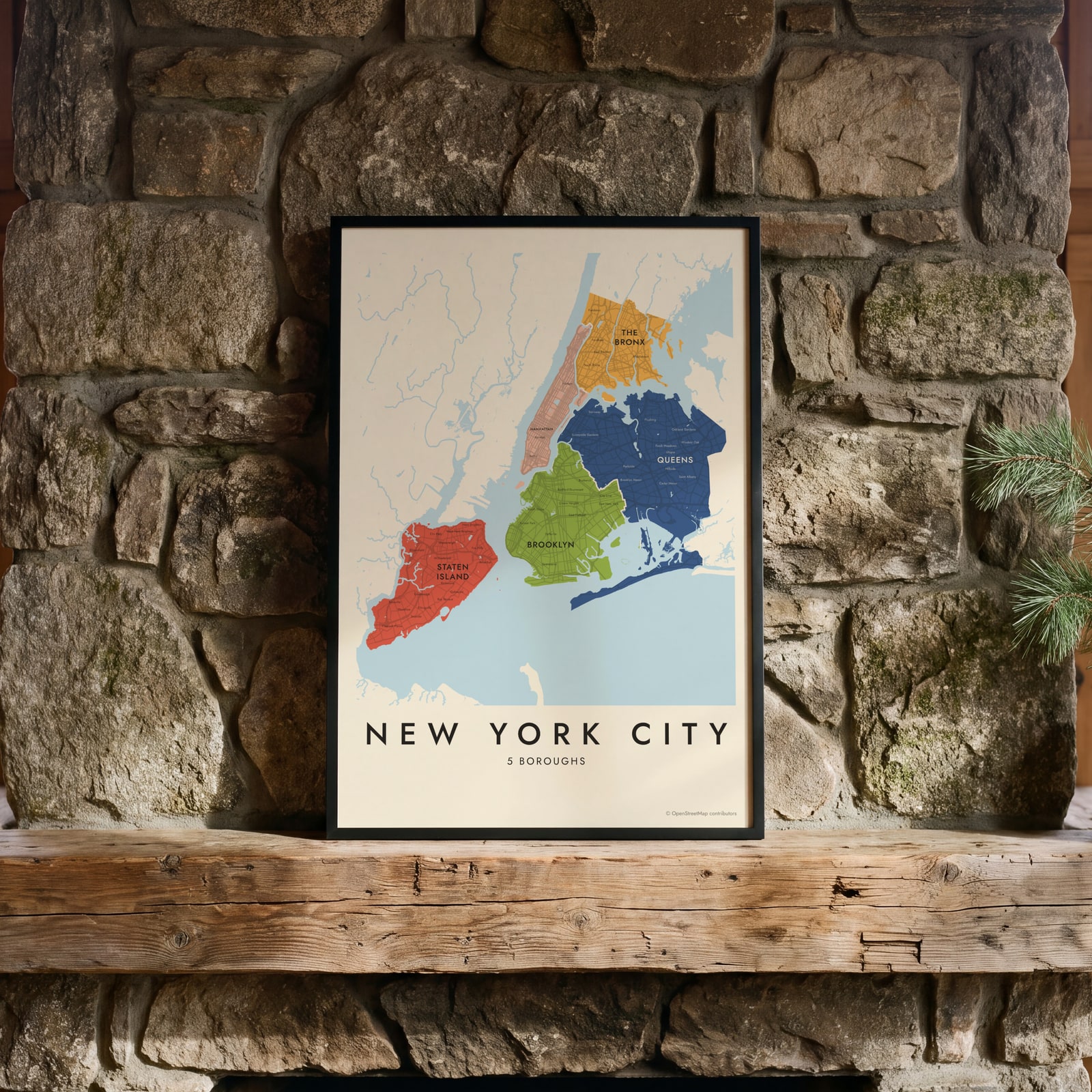 New York City neighborhood map in color, every borough namedEdit this →
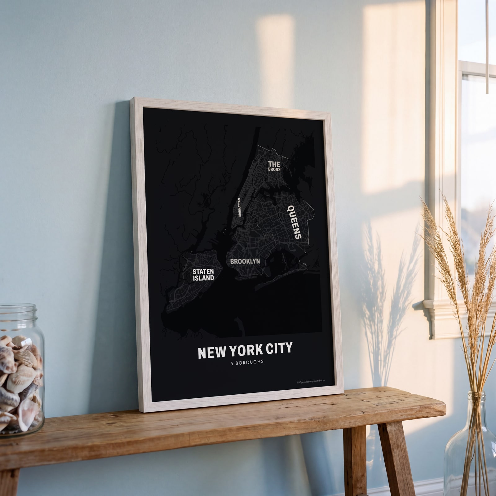 Typographic New York City map: the names fill their boroughsEdit this →
Examples
Open any of them to change the words, the place, the date and the style, then download the print file.
 New York City neighborhood map in color, every borough namedEdit this →More neighborhood maps →
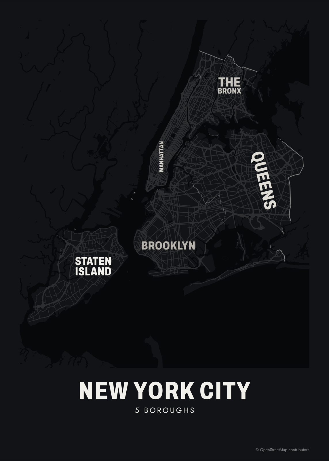 Typographic New York City map: the names fill their boroughsEdit this →More neighborhood maps →
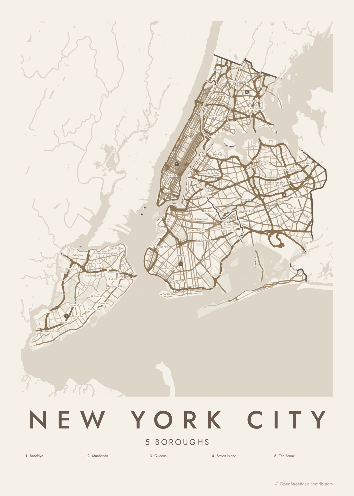 New York City street map with numbered boroughs and their listEdit this →More neighborhood maps →
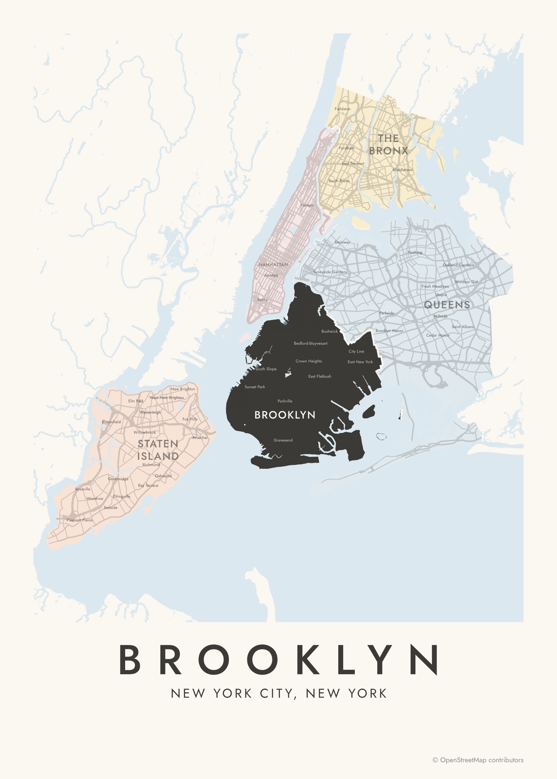 Brooklyn highlighted on a map of New York CityEdit this →More neighborhood maps →
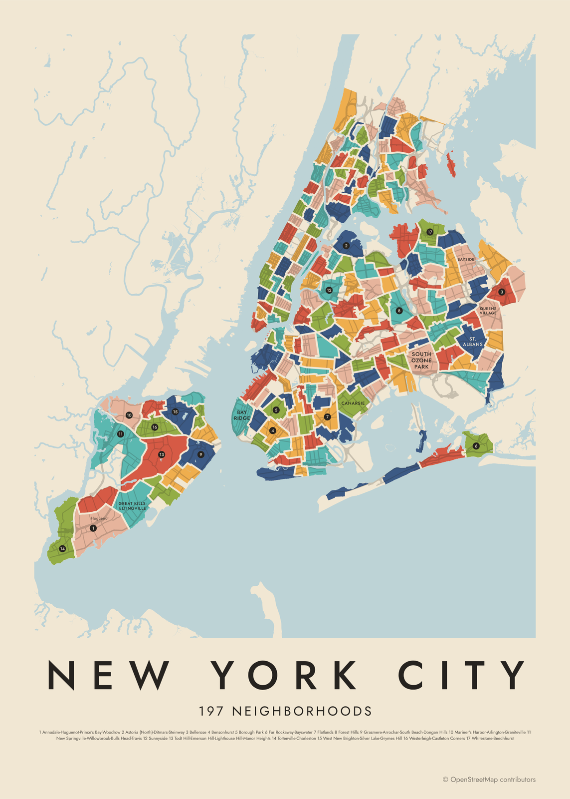 New York City's 197 neighborhoods in colorEdit this →More neighborhood maps →
How New York City is divided
New York City is five boroughs: Manhattan, Brooklyn, Queens, the Bronx and Staten Island. Each is also a county of New York State, and they were joined into one city in 1898. Until then, Brooklyn was a separate city.
There is no official list of neighborhoods. Our 197 are the Department of City Planning's 2020 Neighborhood Tabulation Areas, which group census tracts so the city can report data at a neighborhood scale. Each needs enough residents for reliable numbers, so small neighborhoods are often joined, which is why you'll see names like Carroll Gardens-Cobble Hill-Gowanus-Red Hook. Big parks, cemeteries and airports, which the city counts separately, aren't among the 197.
All 5 boroughs of New York City
- Brooklyn
- Manhattan
- Queens
- Staten Island
- The Bronx
All 197 neighborhoods of New York City
- Allerton
- Annadale-Huguenot-Prince's Bay-Woodrow
- Arden Heights-Rossville
- Astoria (Central)
- Astoria (East)-Woodside (North)
- Astoria (North)-Ditmars-Steinway
- Auburndale
- Baisley Park
- Bath Beach
- Bay Ridge
- Bay Terrace-Clearview
- Bayside
- Bedford Park
- Bedford-Stuyvesant (East)
- Bedford-Stuyvesant (West)
- Bellerose
- Belmont
- Bensonhurst
- Borough Park
- Breezy Point-Belle Harbor-Rockaway Park-Broad Channel
- Brighton Beach
- Brooklyn Heights
- Brownsville
- Bushwick (East)
- Bushwick (West)
- Cambria Heights
- Canarsie
- Carroll Gardens-Cobble Hill-Gowanus-Red Hook
- Castle Hill-Unionport
- Chelsea-Hudson Yards
- Chinatown-Two Bridges
- Claremont Village-Claremont (East)
- Clinton Hill
- Co-op City
- College Point
- Concourse-Concourse Village
- Coney Island-Sea Gate
- Corona
- Crotona Park East
- Crown Heights (North)
- Crown Heights (South)
- Cypress Hills
- Douglaston-Little Neck
- Downtown Brooklyn-DUMBO-Boerum Hill
- Dyker Heights
- East Elmhurst
- East Flatbush-Erasmus
- East Flatbush-Farragut
- East Flatbush-Remsen Village
- East Flatbush-Rugby
- East Flushing
- East Harlem (North)
- East Harlem (South)
- East Midtown-Turtle Bay
- East New York (North)
- East New York-City Line
- East New York-New Lots
- East Village
- East Williamsburg
- Eastchester-Edenwald-Baychester
- Elmhurst
- Far Rockaway-Bayswater
- Financial District-Battery Park City
- Flatbush
- Flatbush (West)-Ditmas Park-Parkville
- Flatlands
- Flushing-Willets Point
- Fordham Heights
- Forest Hills
- Fort Greene
- Fresh Meadows-Utopia
- Glen Oaks-Floral Park-New Hyde Park
- Glendale
- Gramercy
- Grasmere-Arrochar-South Beach-Dongan Hills
- Gravesend (East)-Homecrest
- Gravesend (South)
- Gravesend (West)
- Great Kills-Eltingville
- Greenpoint
- Greenwich Village
- Hamilton Heights-Sugar Hill
- Harlem (North)
- Harlem (South)
- Hell's Kitchen
- Highbridge
- Hollis
- Howard Beach-Lindenwood
- Hunts Point
- Inwood
- Jackson Heights
- Jamaica
- Jamaica Estates-Holliswood
- Jamaica Hills-Briarwood
- Kensington
- Kew Gardens
- Kew Gardens Hills
- Kingsbridge Heights-Van Cortlandt Village
- Kingsbridge-Marble Hill
- Laurelton
- Long Island City-Hunters Point
- Longwood
- Lower East Side
- Madison
- Manhattanville-West Harlem
- Mapleton-Midwood (West)
- Marine Park-Mill Basin-Bergen Beach
- Mariner's Harbor-Arlington-Graniteville
- Maspeth
- Melrose
- Middle Village
- Midtown South-Flatiron-Union Square
- Midtown-Times Square
- Midwood
- Morningside Heights
- Morris Park
- Morrisania
- Mott Haven-Port Morris
- Mount Eden-Claremont (West)
- Mount Hope
- Murray Hill-Broadway Flushing
- Murray Hill-Kips Bay
- New Dorp-Midland Beach
- New Springville-Willowbrook-Bulls Head-Travis
- North Corona
- Norwood
- Oakland Gardens-Hollis Hills
- Oakwood-Richmondtown
- Ocean Hill
- Old Astoria-Hallets Point
- Ozone Park
- Ozone Park (North)
- Park Slope
- Parkchester
- Pelham Bay-Country Club-City Island
- Pelham Gardens
- Pelham Parkway-Van Nest
- Pomonok-Electchester-Hillcrest
- Port Richmond
- Prospect Heights
- Prospect Lefferts Gardens-Wingate
- Queens Village
- Queensboro Hill
- Queensbridge-Ravenswood-Dutch Kills
- Rego Park
- Richmond Hill
- Ridgewood
- Riverdale-Spuyten Duyvil
- Rockaway Beach-Arverne-Edgemere
- Rosebank-Shore Acres-Park Hill
- Rosedale
- Sheepshead Bay-Manhattan Beach-Gerritsen Beach
- SoHo-Little Italy-Hudson Square
- Soundview-Bruckner-Bronx River
- Soundview-Clason Point
- South Jamaica
- South Ozone Park
- South Richmond Hill
- South Williamsburg
- Spring Creek-Starrett City
- Springfield Gardens (North)-Rochdale Village
- Springfield Gardens (South)-Brookville
- St. Albans
- St. George-New Brighton
- Stuyvesant Town-Peter Cooper Village
- Sunnyside
- Sunset Park (Central)
- Sunset Park (East)-Borough Park (West)
- Sunset Park (West)
- Throgs Neck-Schuylerville
- Todt Hill-Emerson Hill-Lighthouse Hill-Manor Heights
- Tompkinsville-Stapleton-Clifton-Fox Hills
- Tottenville-Charleston
- Tremont
- Tribeca-Civic Center
- University Heights (North)-Fordham
- University Heights (South)-Morris Heights
- Upper East Side-Carnegie Hill
- Upper East Side-Lenox Hill-Roosevelt Island
- Upper East Side-Yorkville
- Upper West Side (Central)
- Upper West Side-Lincoln Square
- Upper West Side-Manhattan Valley
- Wakefield-Woodlawn
- Washington Heights (North)
- Washington Heights (South)
- West Farms
- West New Brighton-Silver Lake-Grymes Hill
- West Village
- Westchester Square
- Westerleigh-Castleton Corners
- Whitestone-Beechhurst
- Williamsbridge-Olinville
- Williamsburg
- Windsor Terrace-South Slope
- Woodhaven
- Woodside
More neighborhood names on the map
Inside the boroughs, the map also names 241 smaller neighborhoods where they fit, from OpenStreetMap: City Island, Lower Manhattan, New Utrecht, Coney Island, Midtown, Upper West Side, Upper East Side, Long Island City, Harlem, Washington Heights, Bushwick, South Bronx, East New York, Rockaway Park, Flushing, Arverne, Far Rockaway, Tottenville, Charleston, Richmond Valley, Pleasant Plains, Rossville, Princes Bay, Woodrow, Gulfport, Chelsea, Huguenot, Travis, Fresh Kills, Old Place, Port Ivory, Seaside, Bloomfield, Annadale, Greenridge, Eltingville, Arlington, New Springville, Woods of Arden, Bulls Head and more. Turn them off under Names if you want only the boroughs.
Neighborhoods to know
- Midtown-Times Square: Broadway's theaters and the lights of Times Square.
- Financial District-Battery Park City: Wall Street and the southern tip of Manhattan.
- Harlem: the Apollo Theater on 125th Street and long rows of brownstones.
- Park Slope: brownstone blocks on the western edge of Prospect Park.
- Coney Island-Sea Gate: the boardwalk, the beach and the Cyclone roller coaster.
- Jackson Heights: garden apartment blocks from the 1910s and 1920s, now a historic district.
- Belmont: Arthur Avenue, the Bronx's Little Italy, a short walk from the Bronx Zoo.
- St. George-New Brighton: the Staten Island Ferry terminal and Borough Hall.
How to make your New York City neighborhood poster
- Open the New York City map and pick boroughs or neighborhoods.
- Pick a style: Colored areas, Typographic (the names fill the map) or a Street map with the borders over the streets.
- Tap your own neighborhood to highlight it; it becomes the poster's title.
- Drag and zoom to frame the whole city or just your part of it, then pick a size and download the print file.
Questions
How many boroughs does New York City have?
Five: Manhattan, Brooklyn, Queens, the Bronx and Staten Island. Each is also a county. Manhattan is New York County, Brooklyn is Kings County and Staten Island is Richmond County, while Queens and the Bronx share their names with their counties.
How many neighborhoods are in New York City?
No official count exists, and New Yorkers use several hundred names. The city's planners group them into 197 residential Neighborhood Tabulation Areas, the areas on this map, and we add many smaller names as labels.
Which borough is the biggest?
Queens, by land area, followed by Brooklyn, Staten Island and the Bronx. Manhattan is the smallest.
Why do some neighborhood names have hyphens?
Each tabulation area needs enough residents for reliable census estimates, so neighboring places are often grouped into one area and their names joined, as in Astoria (North)-Ditmars-Steinway.
Where do the New York City boundaries come from?
From OpenStreetMap (© OpenStreetMap contributors) and NYC Department of City Planning. Streets and water are OpenStreetMap's. Boundaries are a snapshot and can differ from what neighbors call home; tell us if one looks wrong.
What sizes can I print?
US Letter, 8 × 10, 11 × 14, 12 × 16 and 12 × 18 in, A4 and A3, free. You download a 300 DPI JPEG drawn at the size you pick. Larger prints, up to 24 × 36 in, are coming soon.
Related



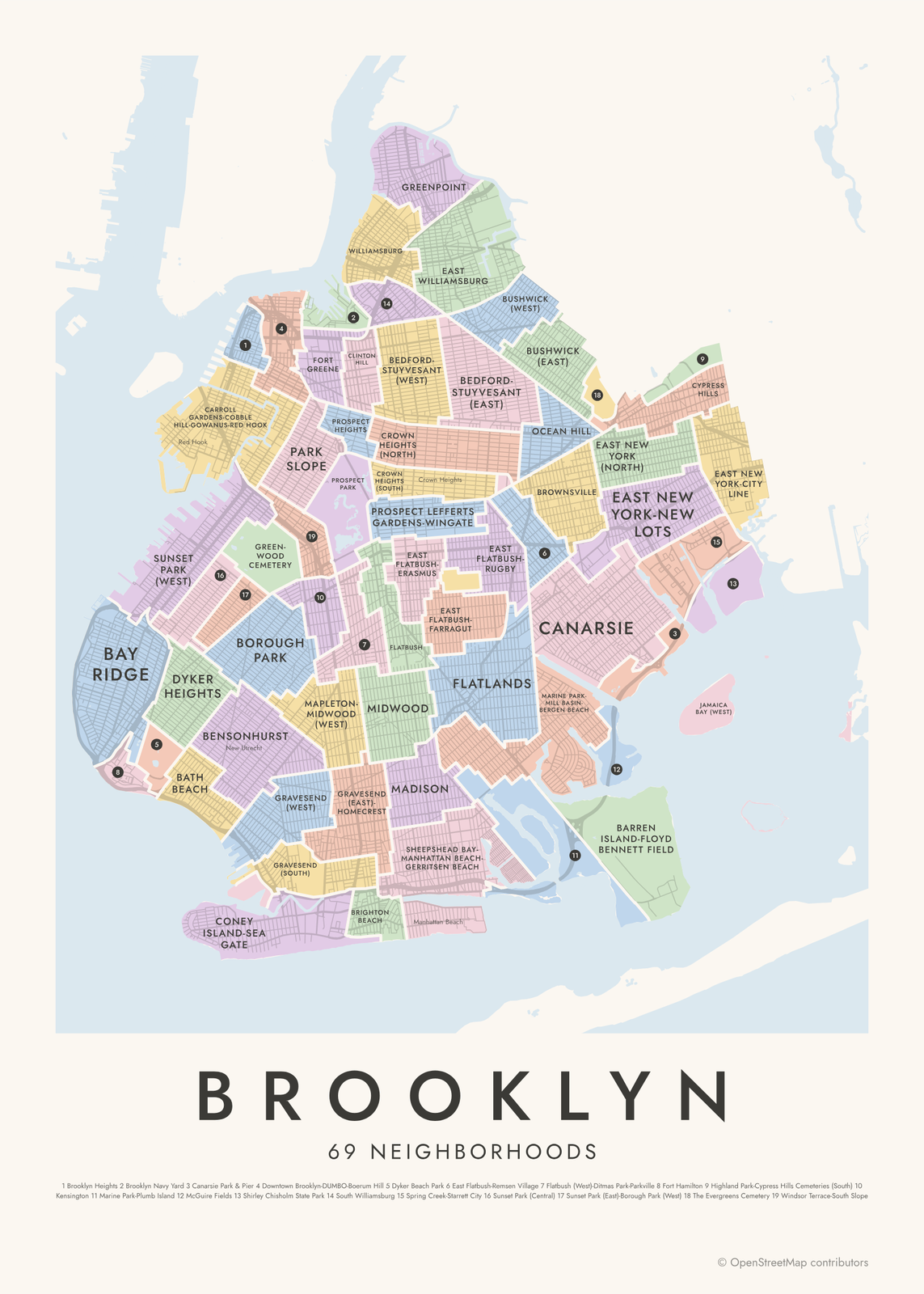
Gift ideas by occasion




Every example is made with the Posterage generators. Change anything, then download it as a 300 DPI JPEG.