Paris map poster the Seine and the boulevards, as art
Draw Paris as clean line art: the Seine curving through, the long boulevards, the star of avenues around the Arc de Triomphe and the ring road at the edge. Center it on the Marais, Montmartre or the street where you stayed, pick one of 18 color styles, and add a heart. City Roads draws every road in one color, for a denser look.
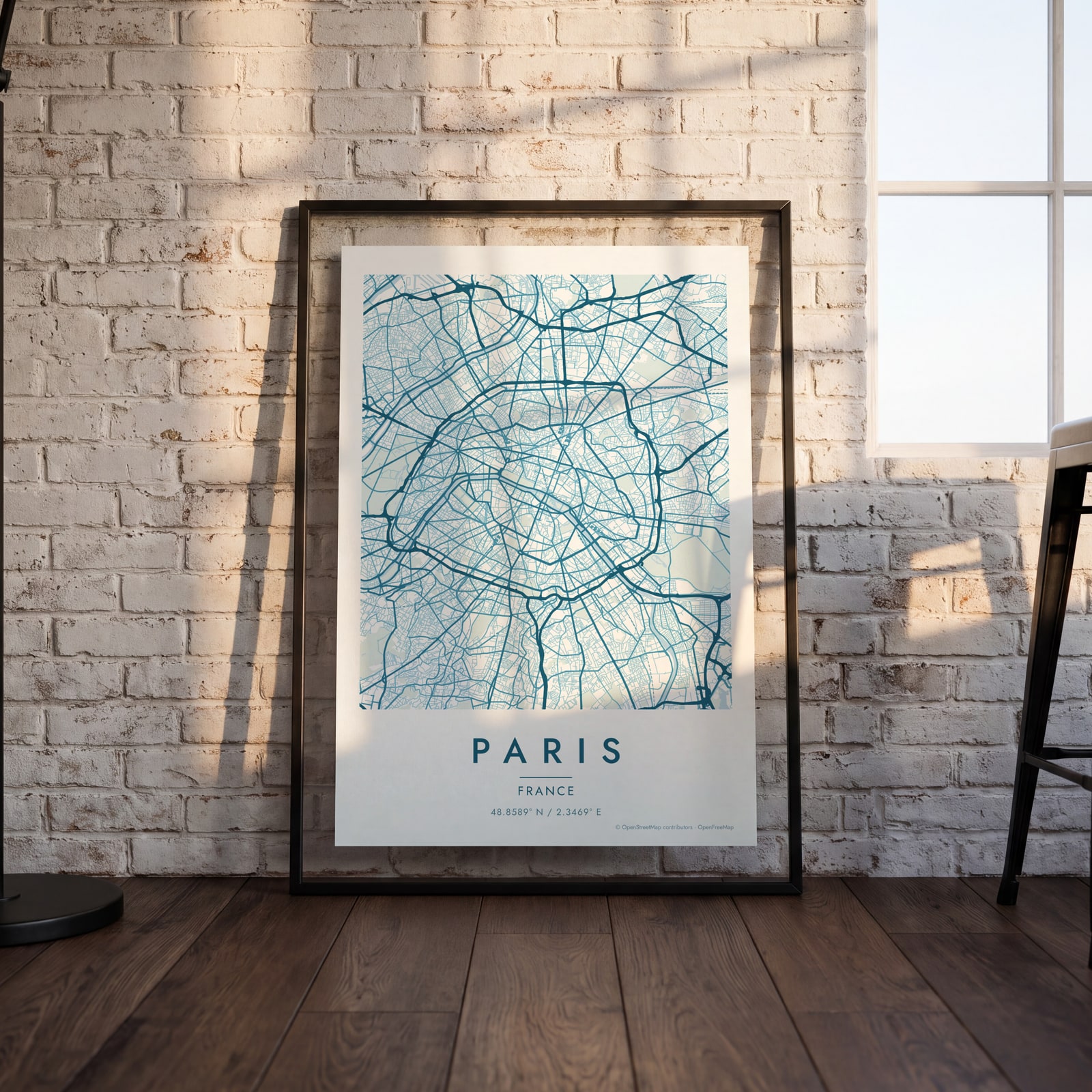
On the wall
A few of them framed at home. Open any one to make it yours.
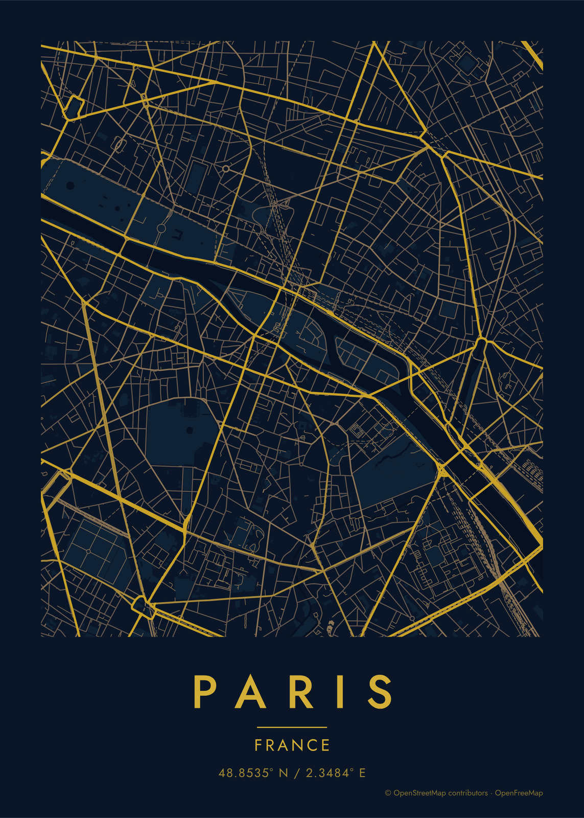
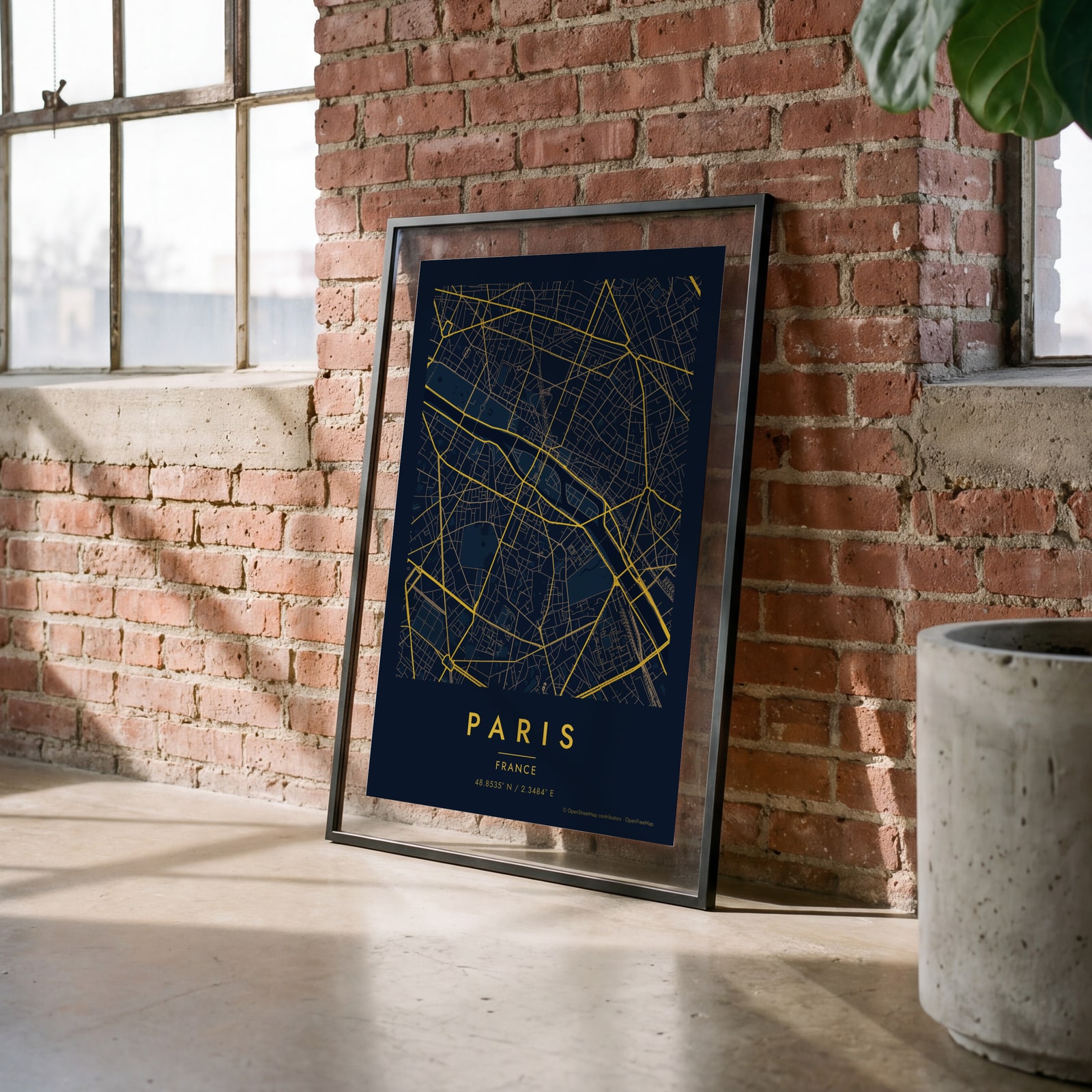 Midnight blue street map of central ParisEdit this →
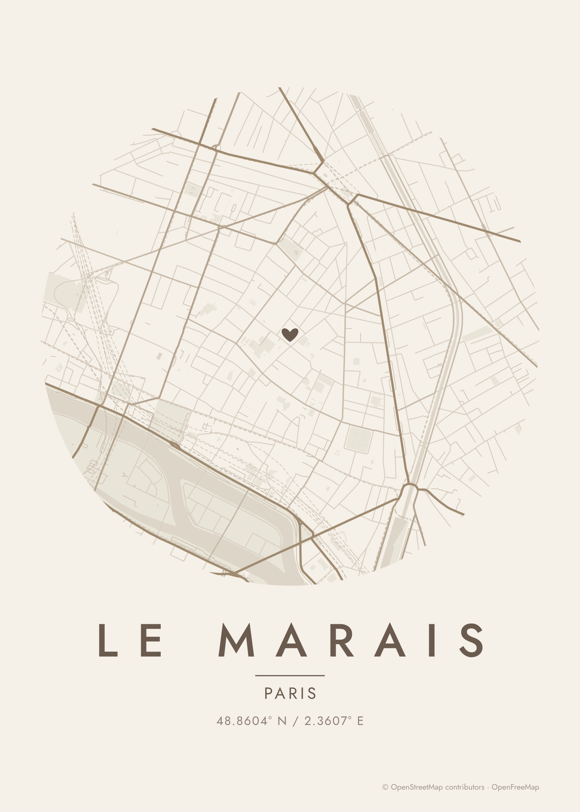
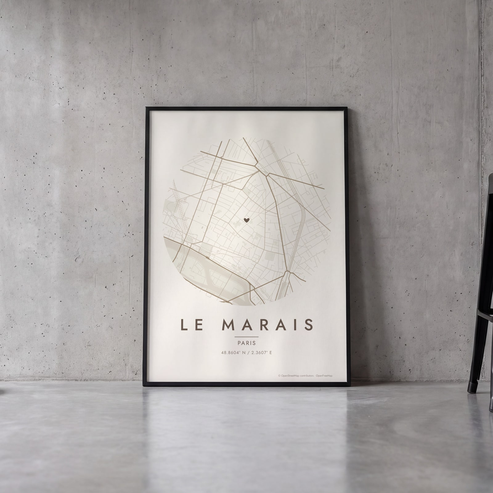 Round map of Le Marais, Paris, with a heartEdit this →
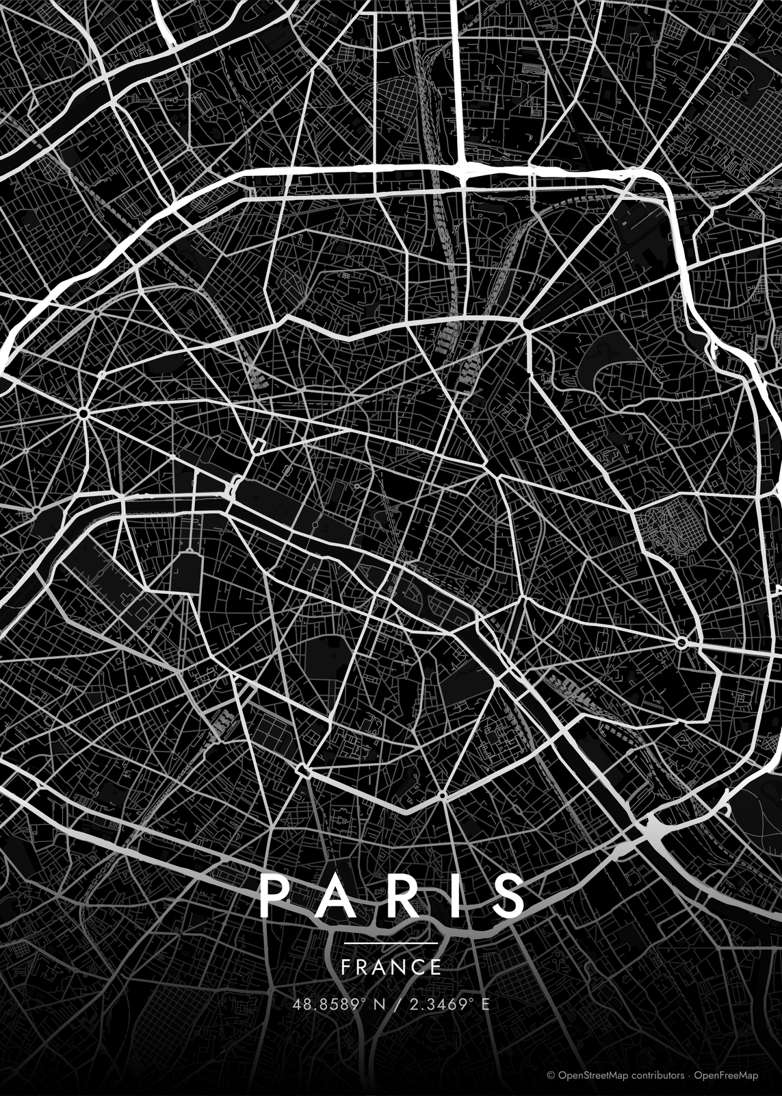
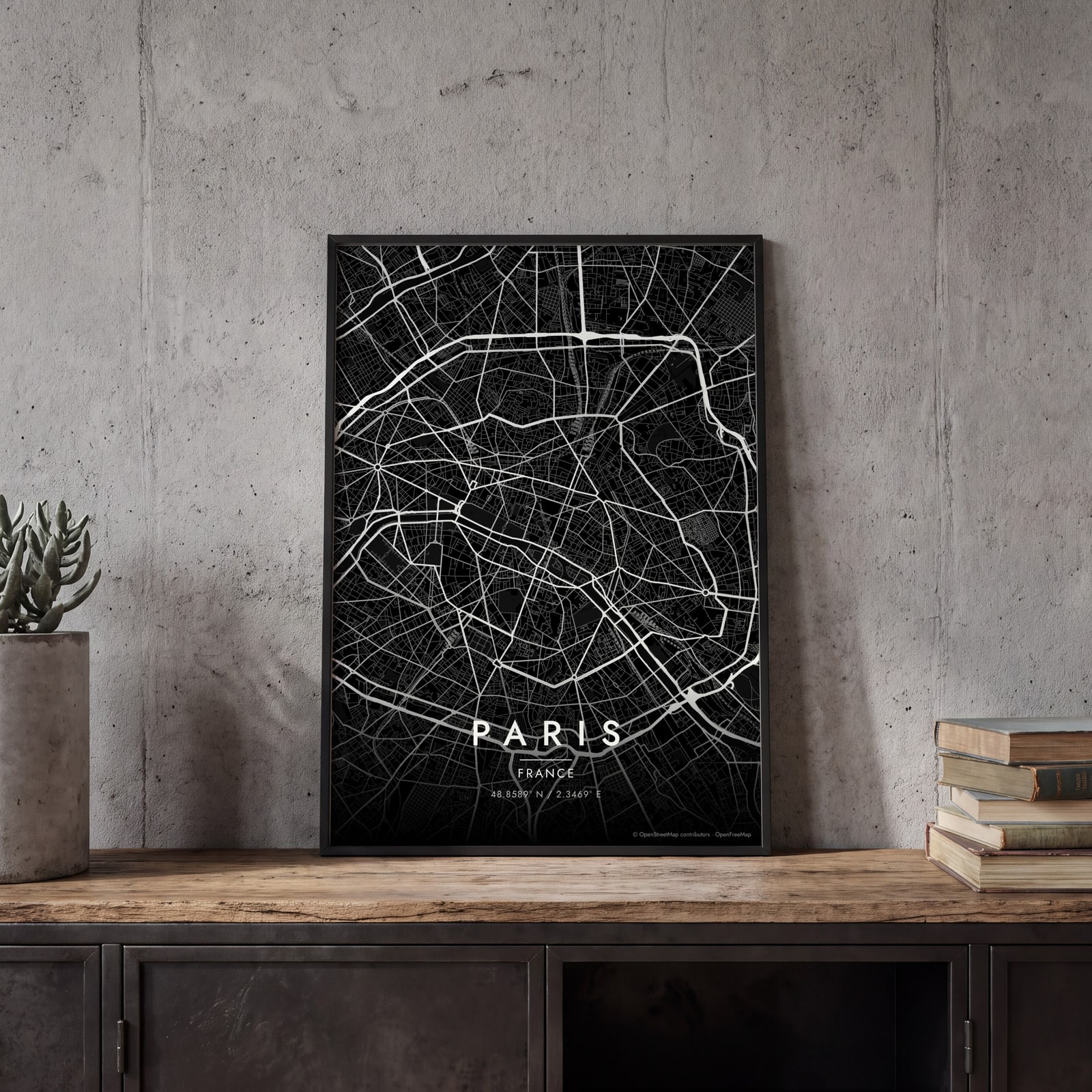 Paris streets in white on black, edge to edgeEdit this →
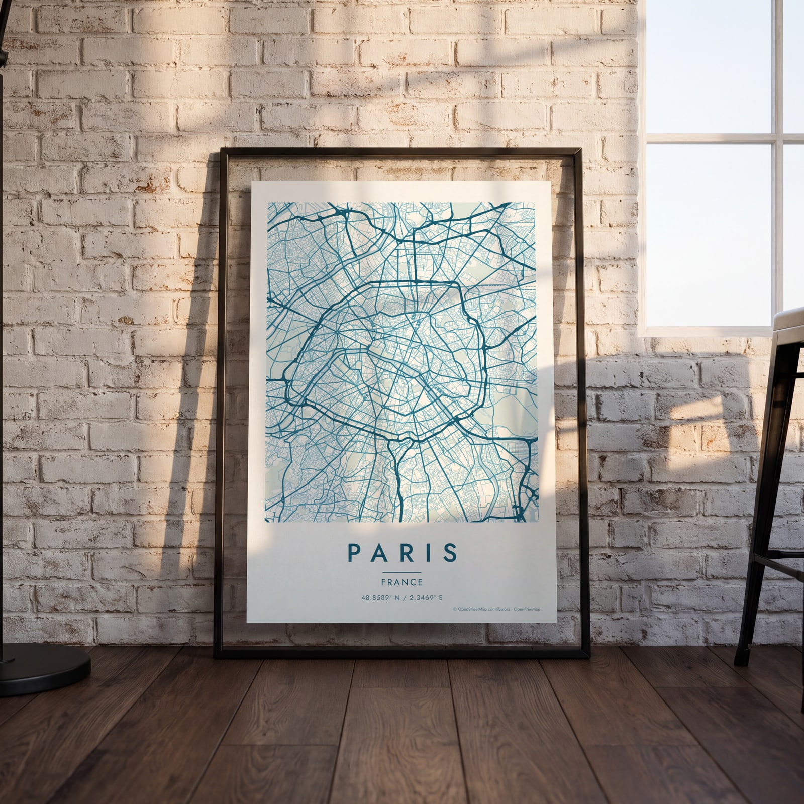 Paris map poster: the whole city's streets, water and parksEdit this →
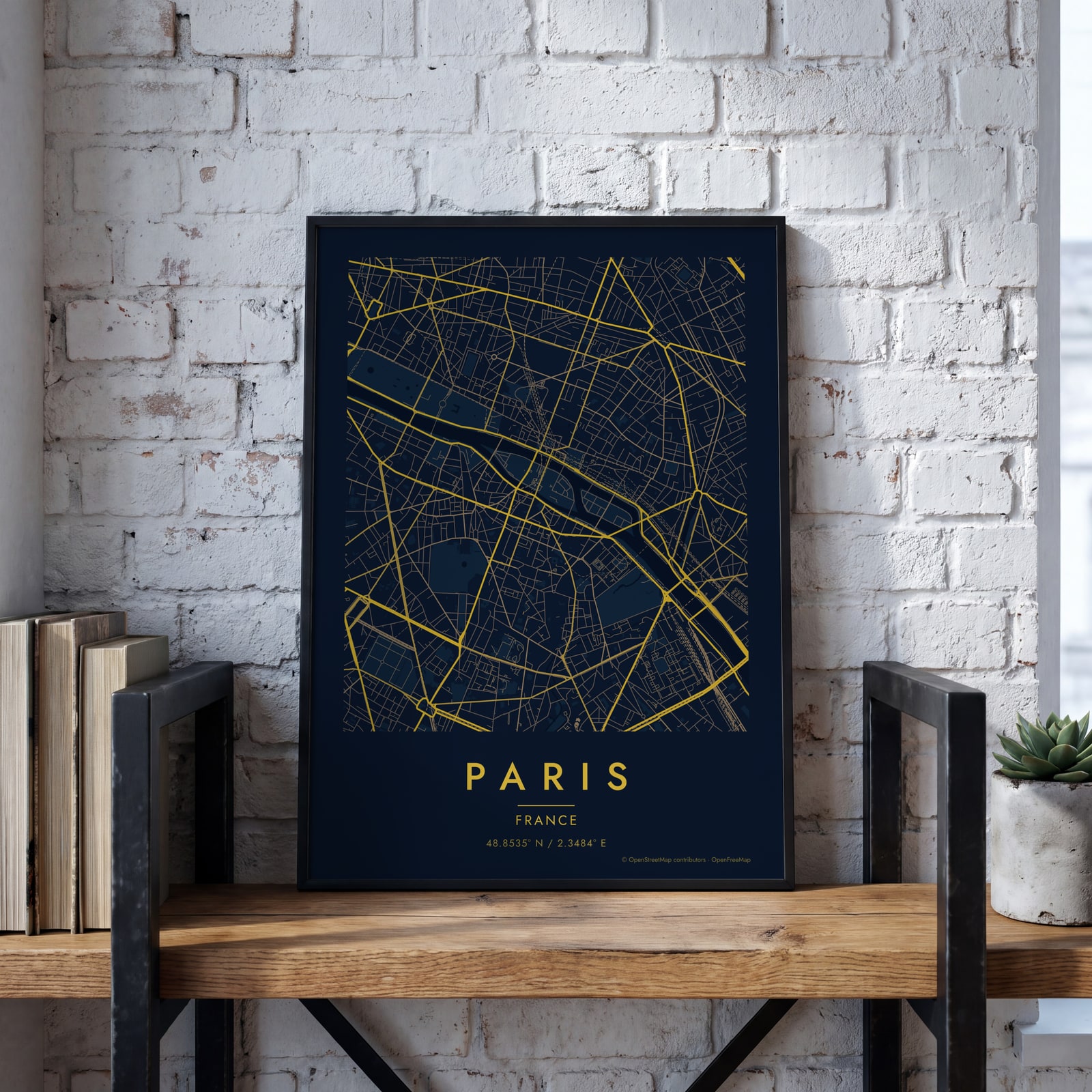 Midnight blue street map of central ParisEdit this →
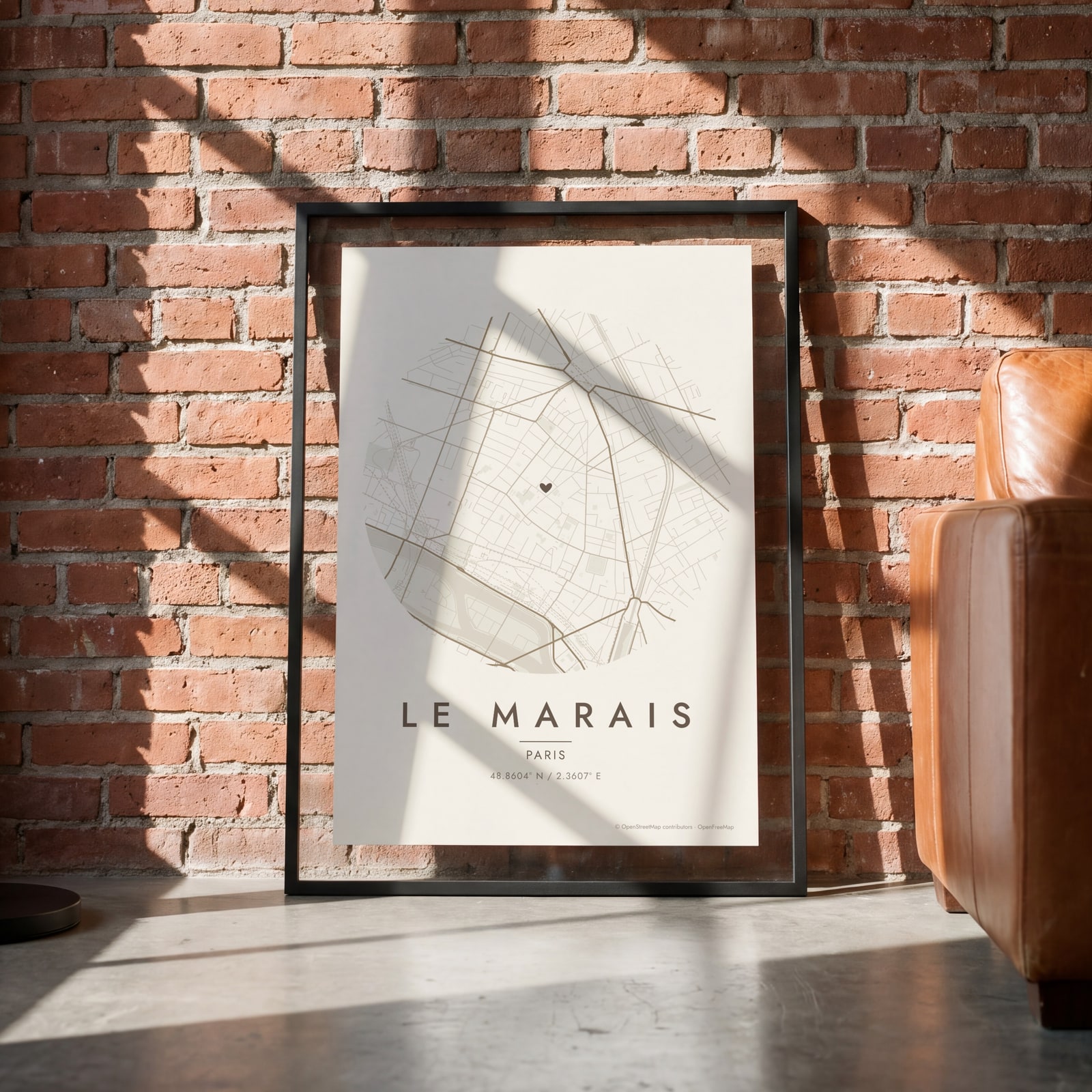 Round map of Le Marais, Paris, with a heartEdit this →
Examples
Open any of them to change the words, the place, the date and the style, then download the print file.
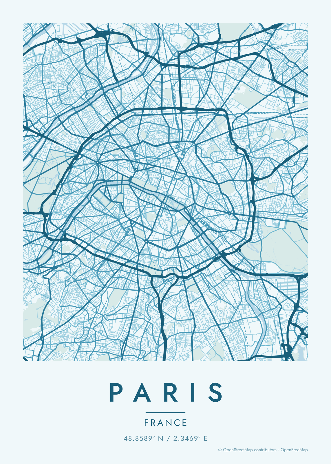
How the streets of Paris are laid out
Paris has no grid. Its medieval streets grew out from the Île de la Cité, and in the 1850s and 1860s Baron Haussmann cut long, straight boulevards through the old city and joined them at star-shaped squares. The biggest is Place Charles de Gaulle, where twelve avenues meet at the Arc de Triomphe.
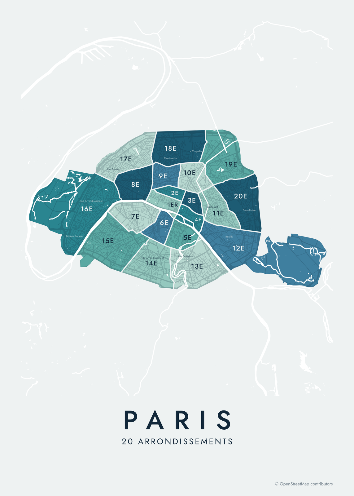
The Seine crosses the city in a wide arc from east to west, with two islands at its center, the Île de la Cité and the Île Saint-Louis. The Boulevard Périphérique, a ring road finished in 1973, traces the city limit, and two large woods sit just outside it, the Bois de Boulogne on the west and the Bois de Vincennes on the east, both still part of Paris. Inside the ring, the 20 arrondissements spiral out clockwise from the center like a snail shell.
Places to frame
- Le Marais: narrow old streets on the Right Bank, around the Place des Vosges.
- Montmartre: the hill in the north, with streets winding up to Sacré-Cœur.
- Saint-Germain-des-Prés: the Left Bank, a short walk from the Luxembourg Garden.
- The Latin Quarter: the streets around the Sorbonne and the Panthéon.
- Canal Saint-Martin: the canal in the 10th, with its locks and iron footbridges.
- Île Saint-Louis: the smaller island, just upriver from Notre-Dame.
- Belleville: steep streets in the northeast, around the Parc de Belleville.
Other ways to draw Paris
Road map art draws every road of Paris in a single color, as a dense line portrait of the whole city.
The Paris neighborhood map names every part of the city: all 20 arrondissements or 80 quartiers, each in its own color, with yours highlighted if you like.
How to make your Paris map
- Open the Paris map, or search any street, neighborhood or address.
- Drag to center it and zoom to set how much it shows, from a few blocks to the whole city.
- Pick colors and a shape: framed, edge to edge or a circle; add a heart, a pin or a dot at the center.
- Write a title and a line under it, or keep the city's name, then download the print file.
Questions
Which part of Paris should I put on the map?
The whole city fits on one poster, from the Bois de Boulogne to the Bois de Vincennes, with the Périphérique as a frame. For something closer, center it on one arrondissement, or on the street of the hotel or apartment where you stayed.
Can I mark where we got engaged?
Yes. Drag the map so the spot is at the center and add a heart, a pin or a dot. The map doesn't print street names, so write the place, like a bridge or a café, in the subtitle.
Does the map show the Seine and the canals?
Yes. Water is its own layer, so the Seine, the open stretches of the Canal Saint-Martin and the lakes in the two woods print in the style's water color.
Where does the map data come from?
From OpenStreetMap, the open map built by volunteers. Its credit line prints small in the corner of every map.
What sizes can I print?
US Letter, 8 × 10, 11 × 14, 12 × 16 and 12 × 18 in, A4 and A3, free. You download a 300 DPI JPEG drawn at the size you pick. Larger prints, up to 24 × 36 in, are coming soon.
Related
Gift ideas by occasion




Every example is made with the Posterage generators. Change anything, then download it as a 300 DPI JPEG.