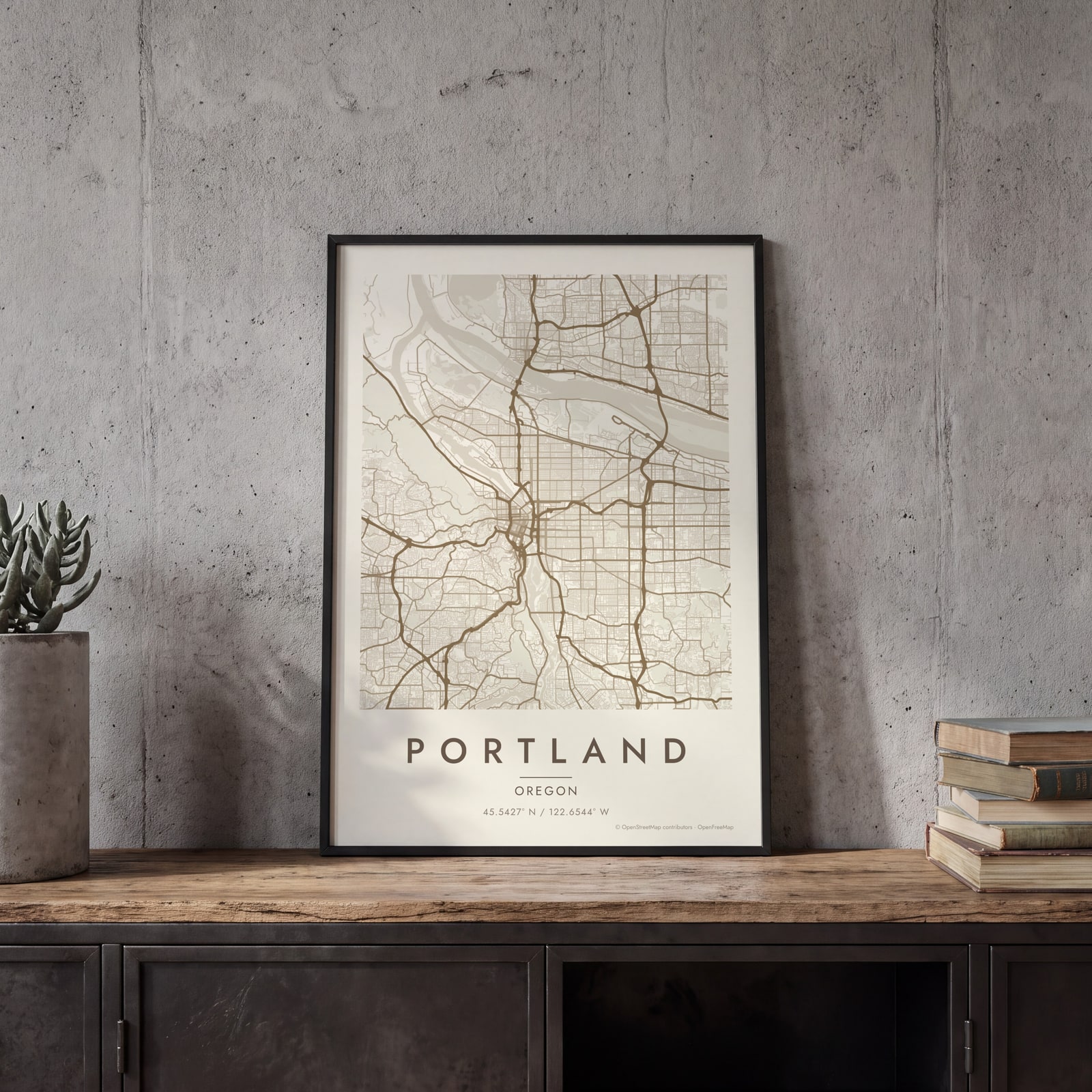
Portland map poster two rivers, the bridges and the West Hills
Draw Portland, Oregon as clean line art: the Willamette running through the middle, the bridges stitching east to west and Forest Park on the hills. Center it on downtown, on your street or on the whole city, then print it from A4 to 24 × 36 in.
On the wall
A few of them framed at home. Open any one to make it yours.
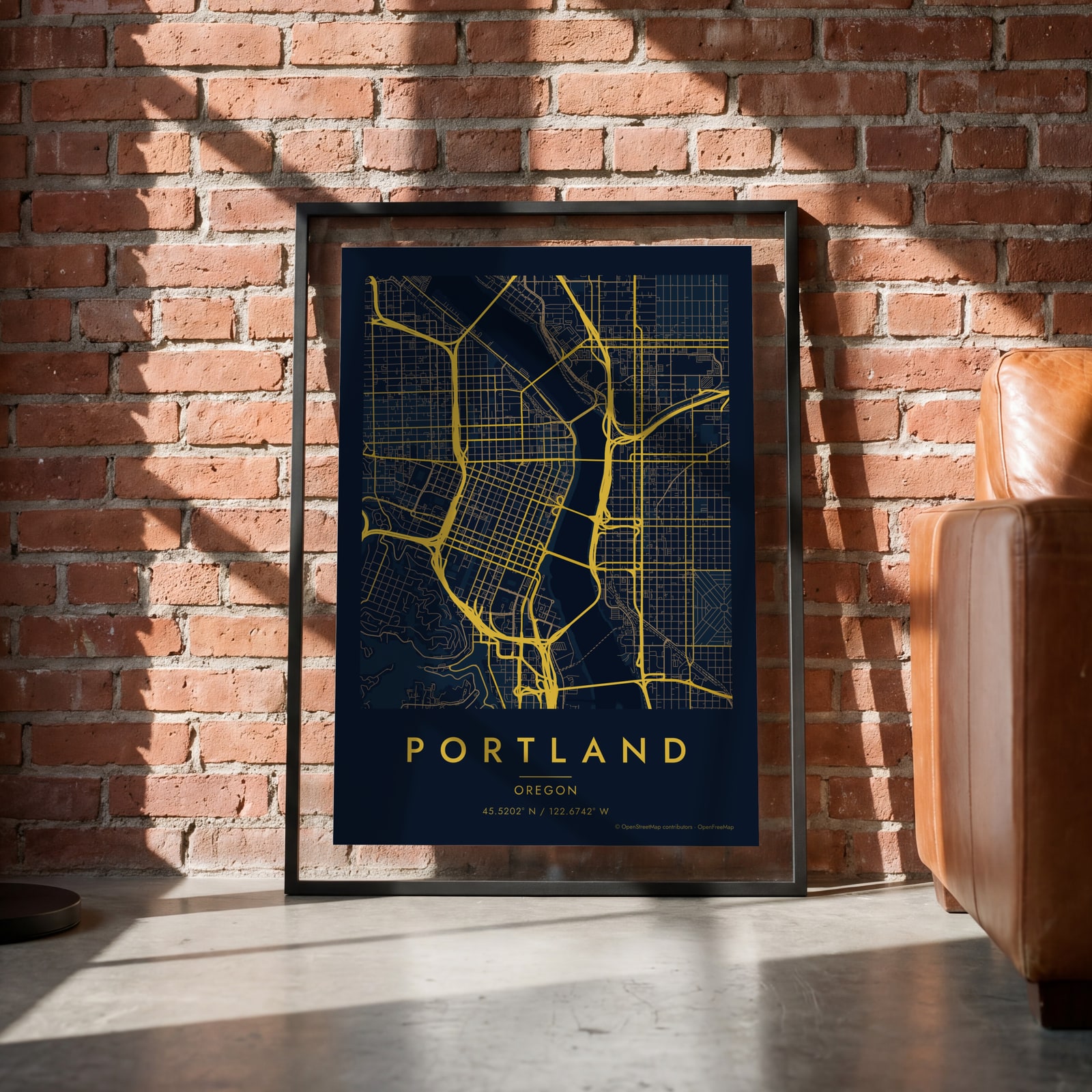 Midnight blue street map of central PortlandEdit this →
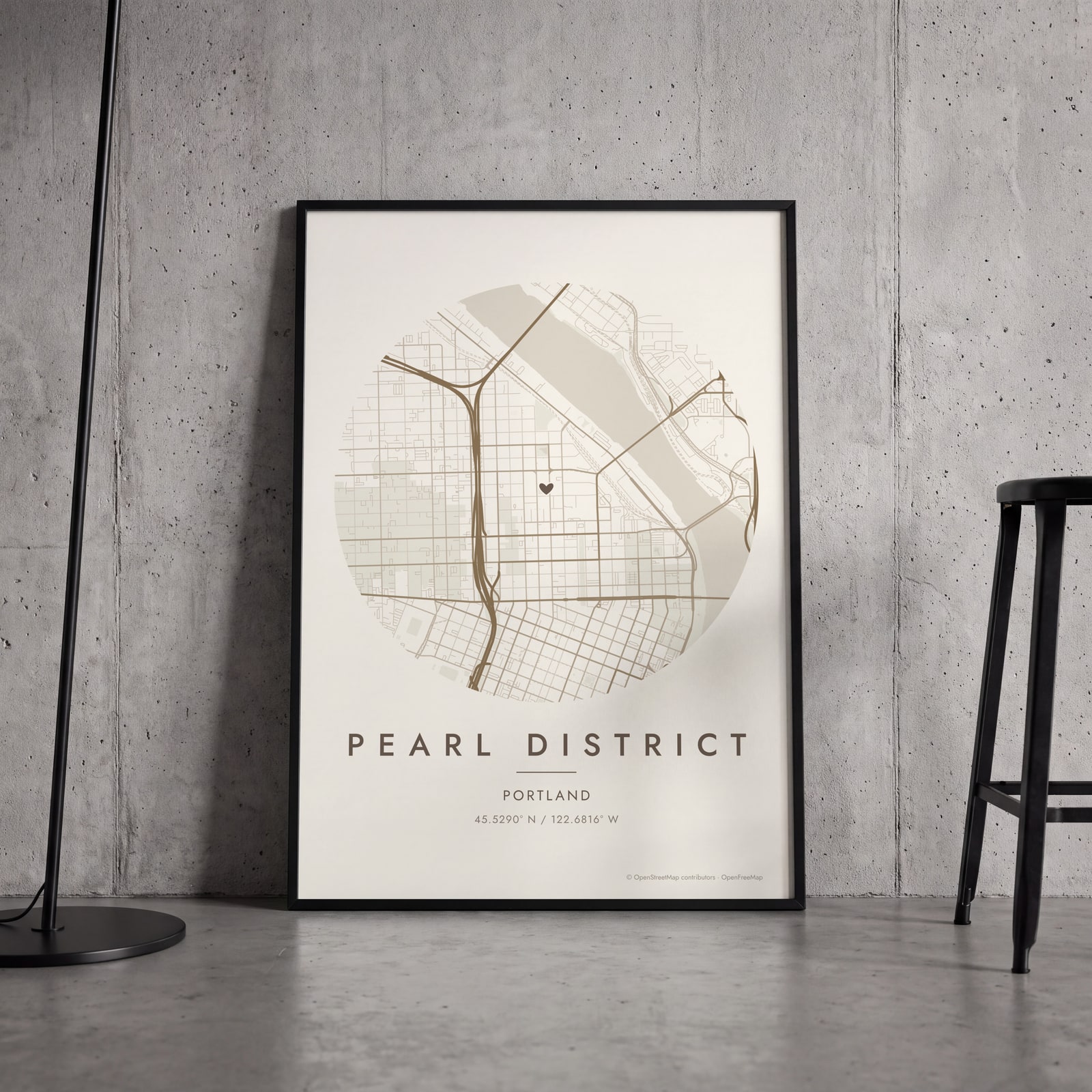 Round map of Pearl District, Portland, with a heartEdit this →
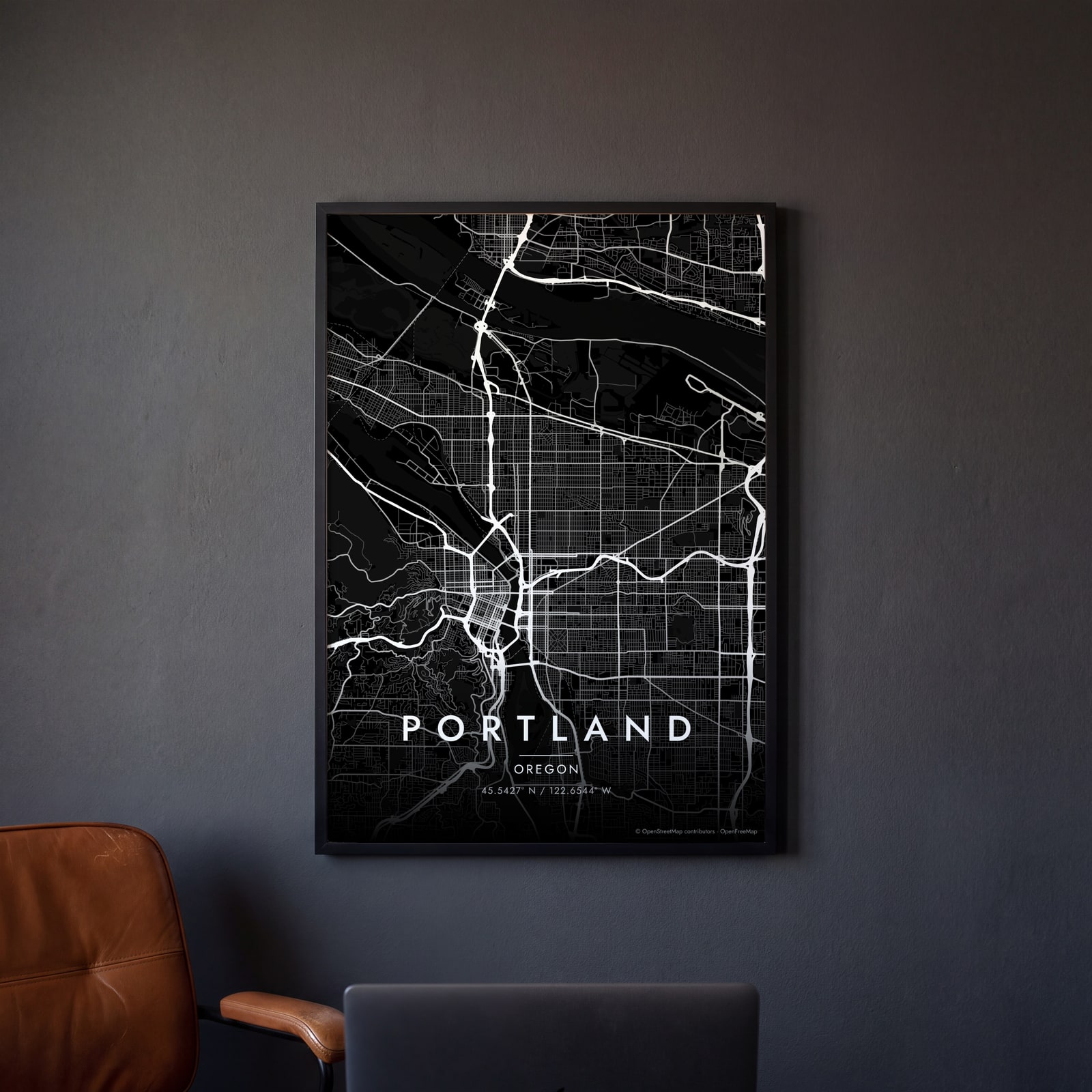 Portland streets in white on black, edge to edgeEdit this →
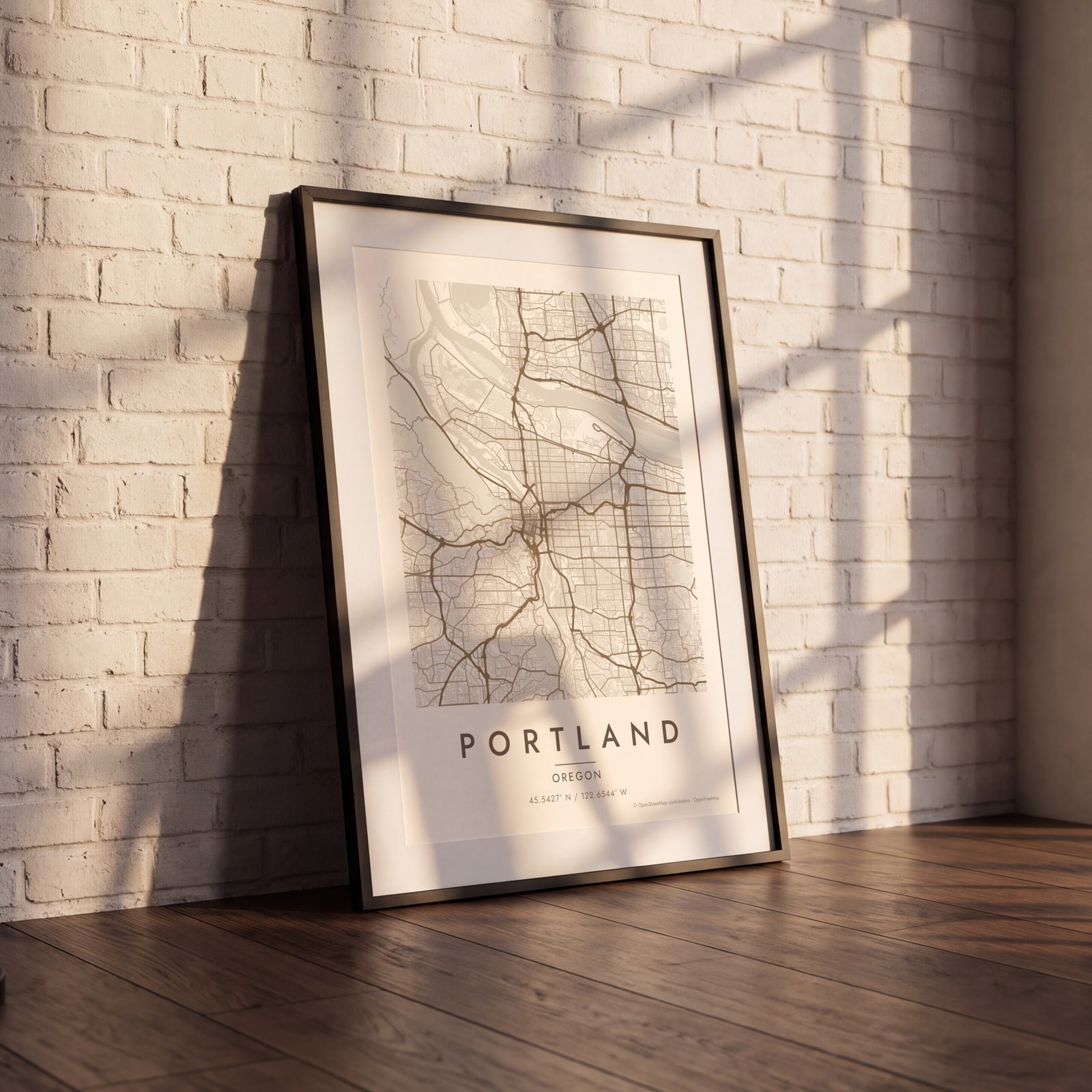 Portland map poster: the whole city's streets, water and parksEdit this →
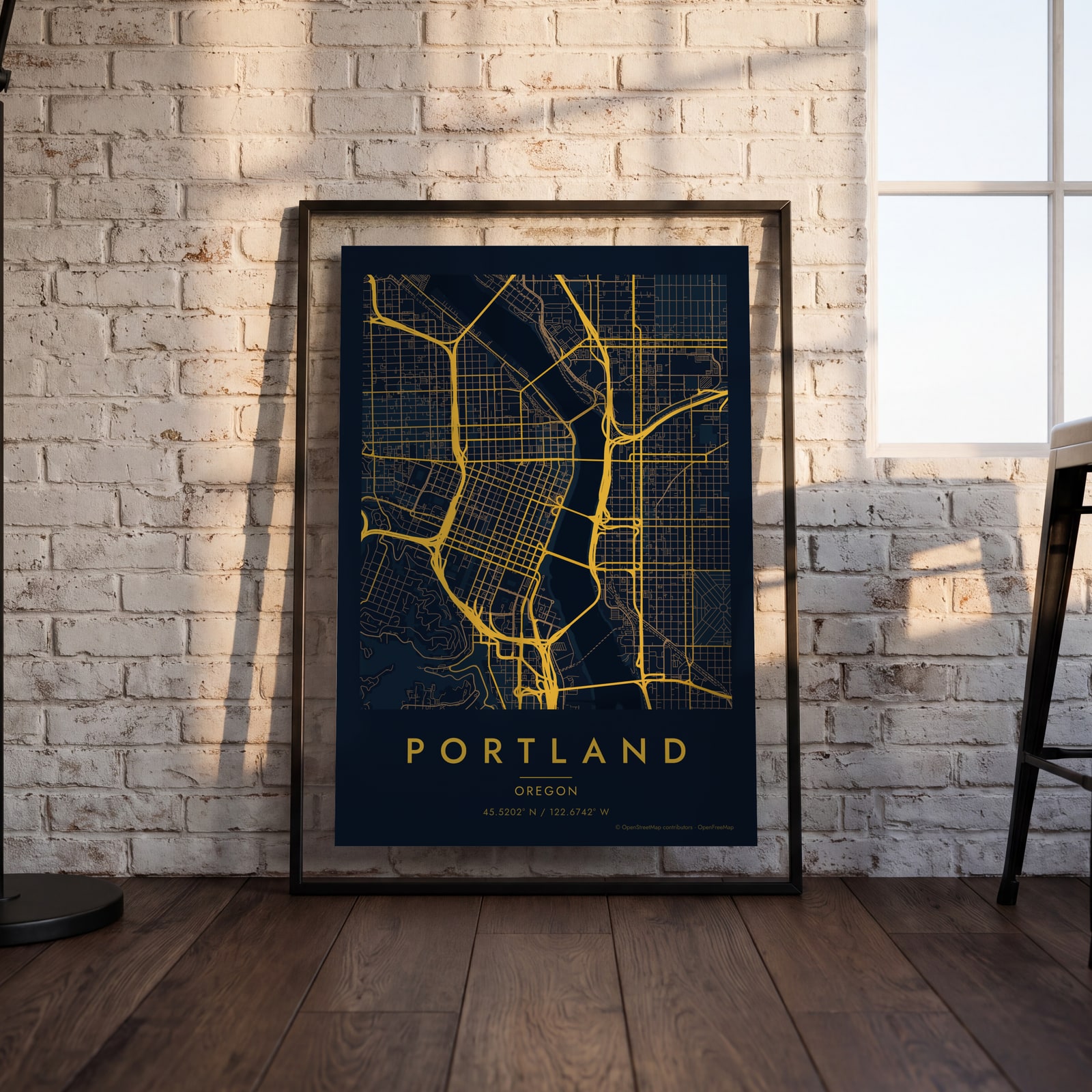 Midnight blue street map of central PortlandEdit this →
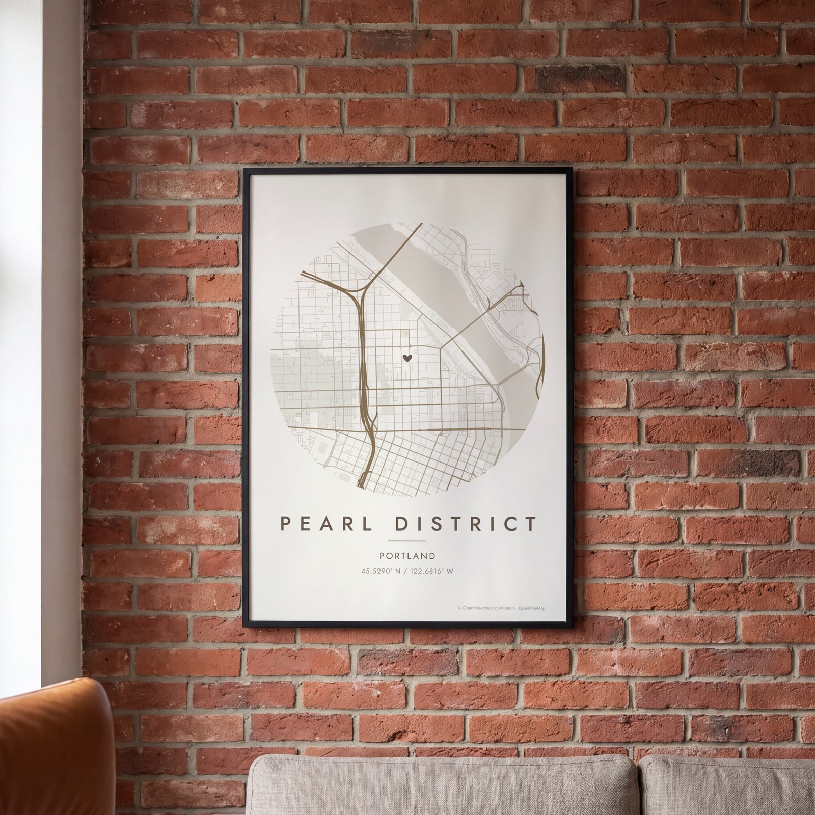 Round map of Pearl District, Portland, with a heartEdit this →
Examples
Open any of them to change the words, the place, the date and the style, then download the print file.
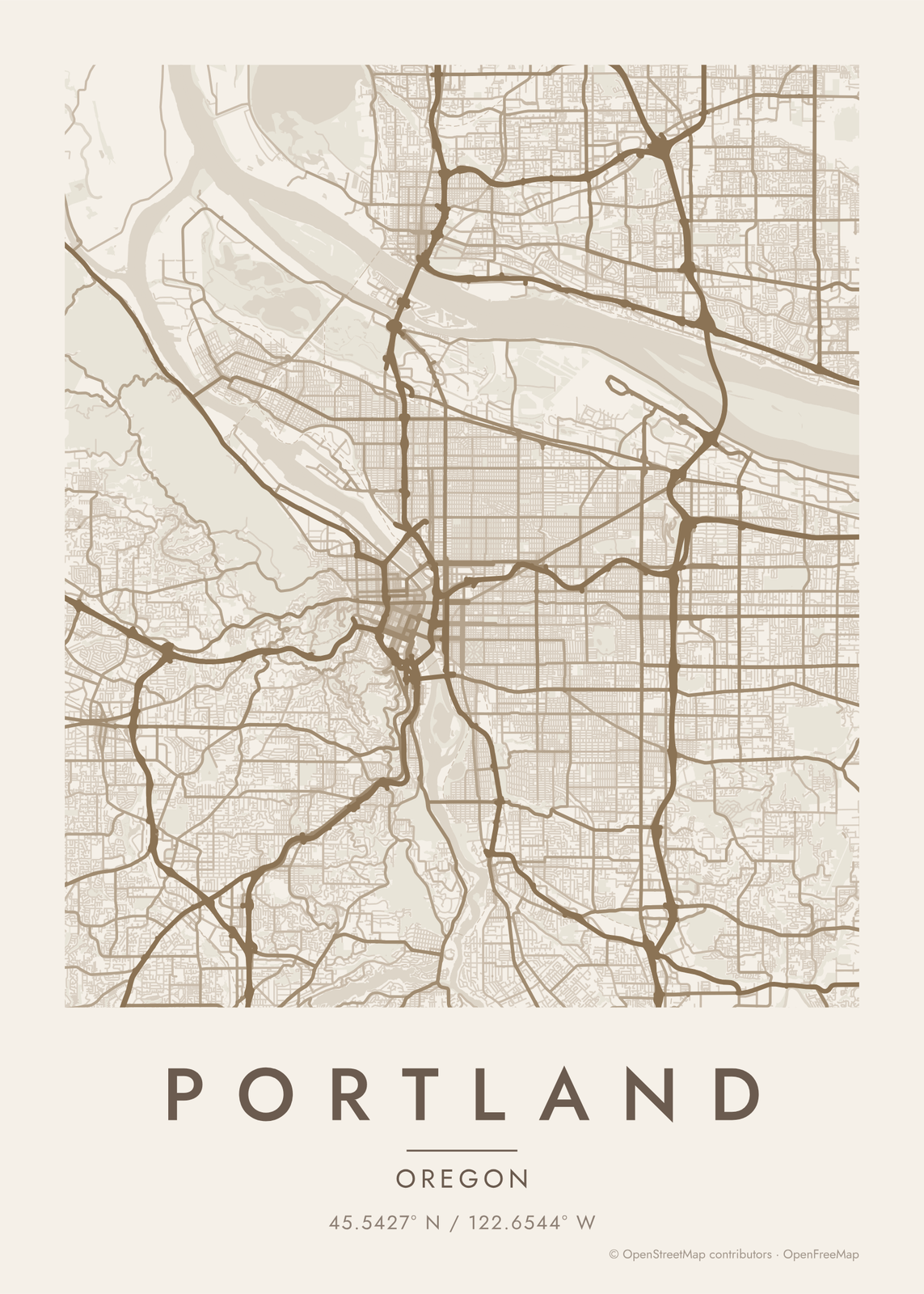 Portland map poster: the whole city's streets, water and parksEdit this →More map art →
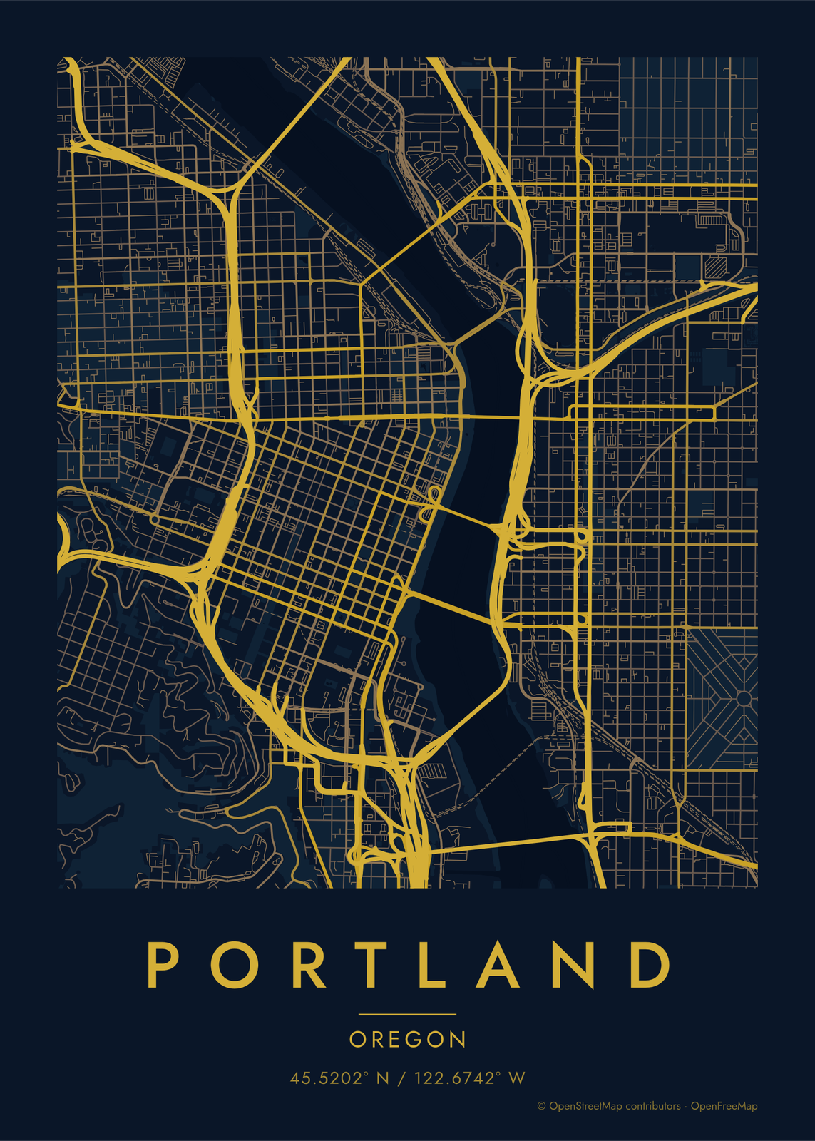 Midnight blue street map of central PortlandEdit this →More map art →
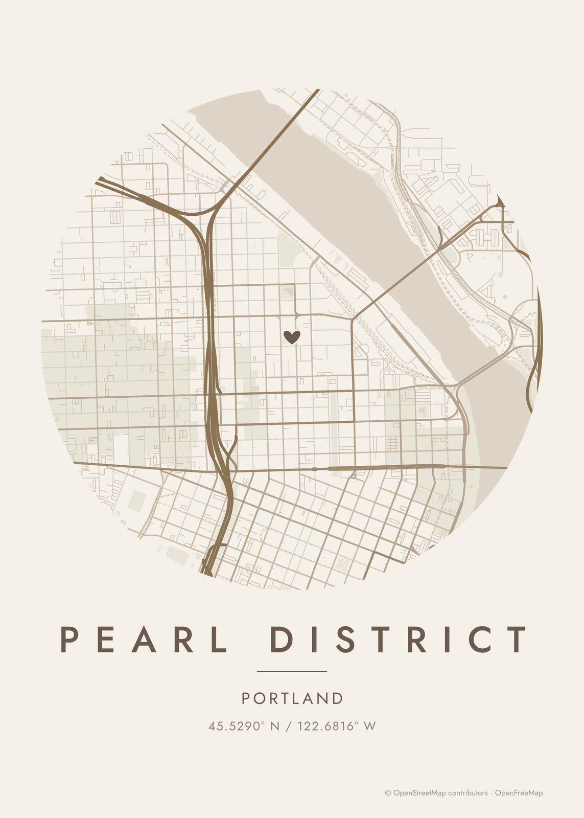 Round map of Pearl District, Portland, with a heartEdit this →More map art →
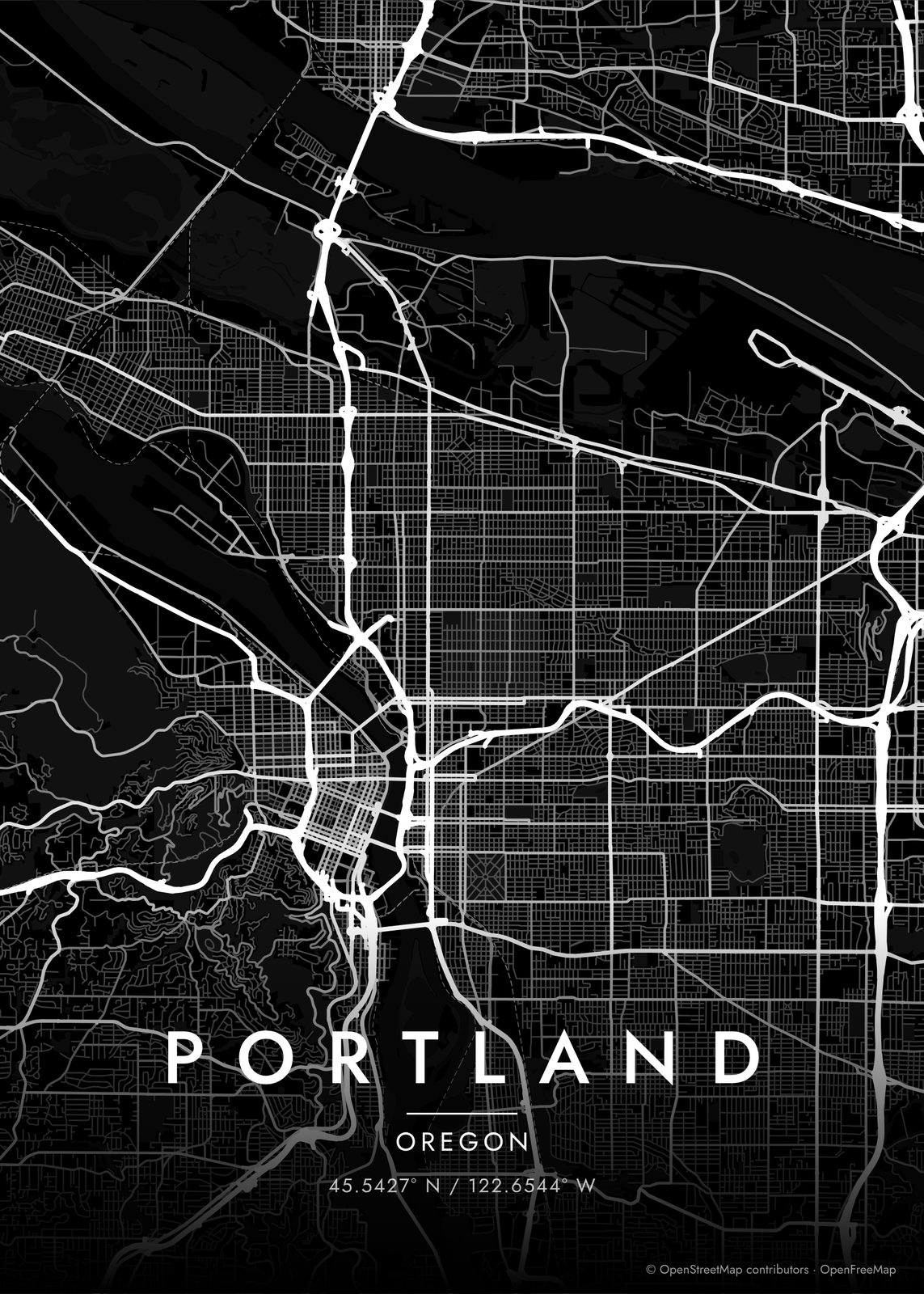 Portland streets in white on black, edge to edgeEdit this →More map art →
How Portland's streets are laid out
The Willamette River splits Portland into east and west, and Burnside Street splits it into north and south, which is where addresses like NE and SW come from. Downtown's blocks are small, just 200 feet on a side, so the west bank reads as a fine, tight grid. East of the river the grid runs long and straight for miles.
Water frames the city. The Columbia River marks the northern edge, and the Willamette joins it at the tip of North Portland. West of downtown the land climbs into the West Hills, where Forest Park runs for miles along the ridge and the streets give way to winding roads. On the east side, Mount Tabor shows as a round green patch among the blocks.
Places to frame
- Pearl District: old warehouse blocks between downtown and the river.
- Nob Hill: Northwest 23rd Avenue and the hills behind it.
- Alberta Arts District: Northeast Portland along Alberta Street.
- Hawthorne: Southeast's long main street, running toward Mount Tabor.
- Sellwood: the riverside neighborhood at the city's south edge.
- St. Johns: the tall bridge and the streets near the tip of North Portland.
Other ways to draw Portland
Road map art draws every road of Portland in a single color, as a dense line portrait of the whole city.
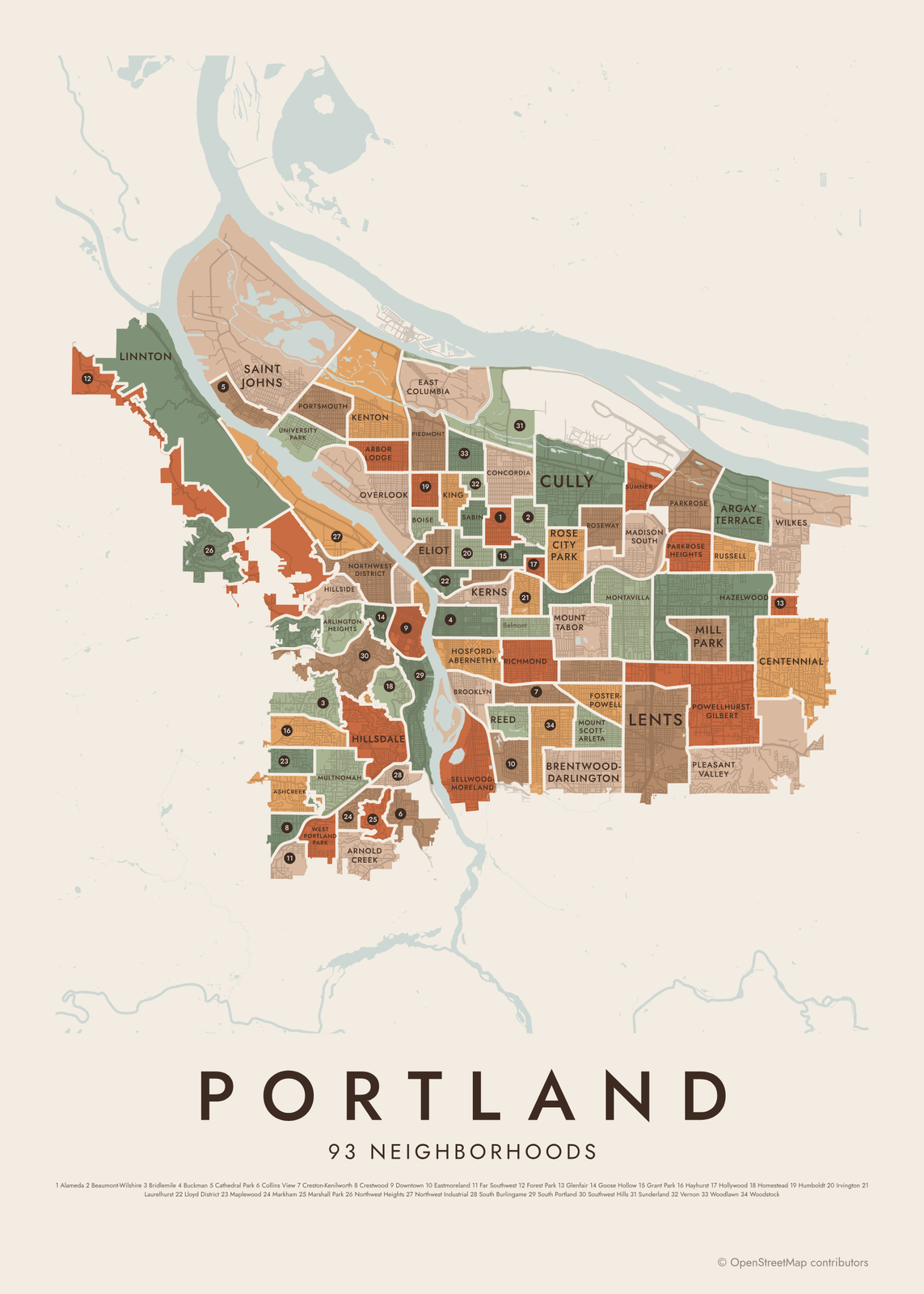
The Portland neighborhood map names every part of the city: all 93 neighborhoods, each in its own color, with yours highlighted if you like.
How to make your Portland map
- Open the Portland map, or search any street, neighborhood or address.
- Drag to center it and zoom to set how much it shows, from a few blocks to the whole city.
- Pick colors and a shape: framed, edge to edge or a circle; add a heart, a pin or a dot at the center.
- Write a title and a line under it, or keep the city's name, then download the print file.
Questions
Is this Portland, Oregon or Portland, Maine?
This page shows Portland, Oregon. The map can be any place, so you can search Portland, Maine, or any other town and draw it the same way.
Does the map show the rivers and bridges?
Yes. The Willamette and the Columbia draw as water, and the bridges show as the roads that cross them. Center the map on downtown to see the bridges lined up across the river.
Can I fit Forest Park on the map?
Yes. Center the map a little northwest of downtown and zoom out until the park fills the hills. Turn on footpaths to draw its trails too.
Where does the map data come from?
From OpenStreetMap, the open map built by volunteers. Its credit line prints small in the corner of every map.
What sizes can I print?
US Letter, 8 × 10, 11 × 14, 12 × 16 and 12 × 18 in, A4 and A3, free. You download a 300 DPI JPEG drawn at the size you pick. Larger prints, up to 24 × 36 in, are coming soon.
Related
Gift ideas by occasion




Every example is made with the Posterage generators. Change anything, then download it as a 300 DPI JPEG.