San Francisco map poster the grid, the park and the bay, as art
Draw San Francisco as clean line art: the grid, the long diagonal of Market Street, Golden Gate Park and the water around it all. Center it on the Mission, North Beach or your own block, pick one of 18 color styles, and mark the spot. For a denser look, City Roads draws every road in one color.
On the wall
A few of them framed at home. Open any one to make it yours.
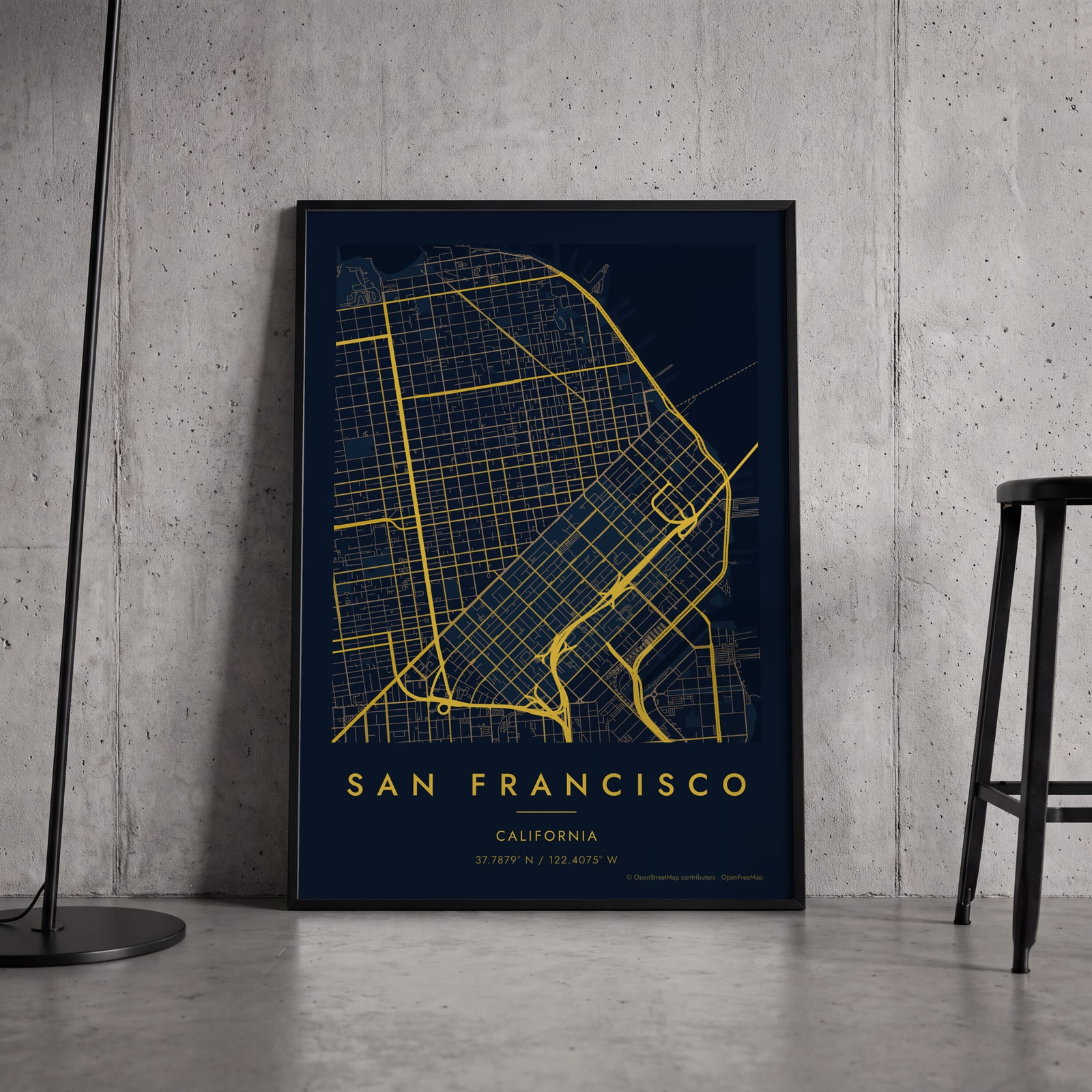 Midnight blue street map of central San FranciscoEdit this →
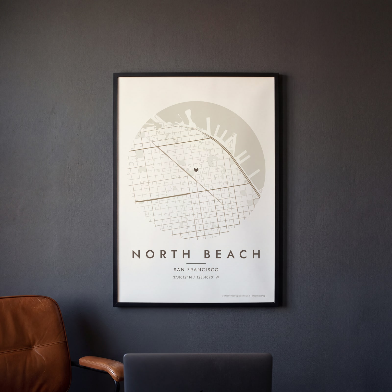 Round map of North Beach, San Francisco, with a heartEdit this →
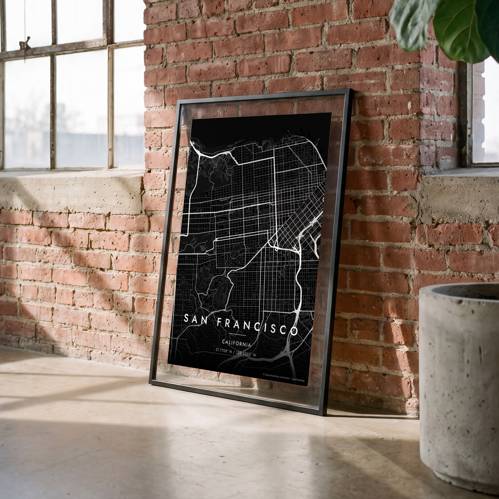 San Francisco streets in white on black, edge to edgeEdit this →
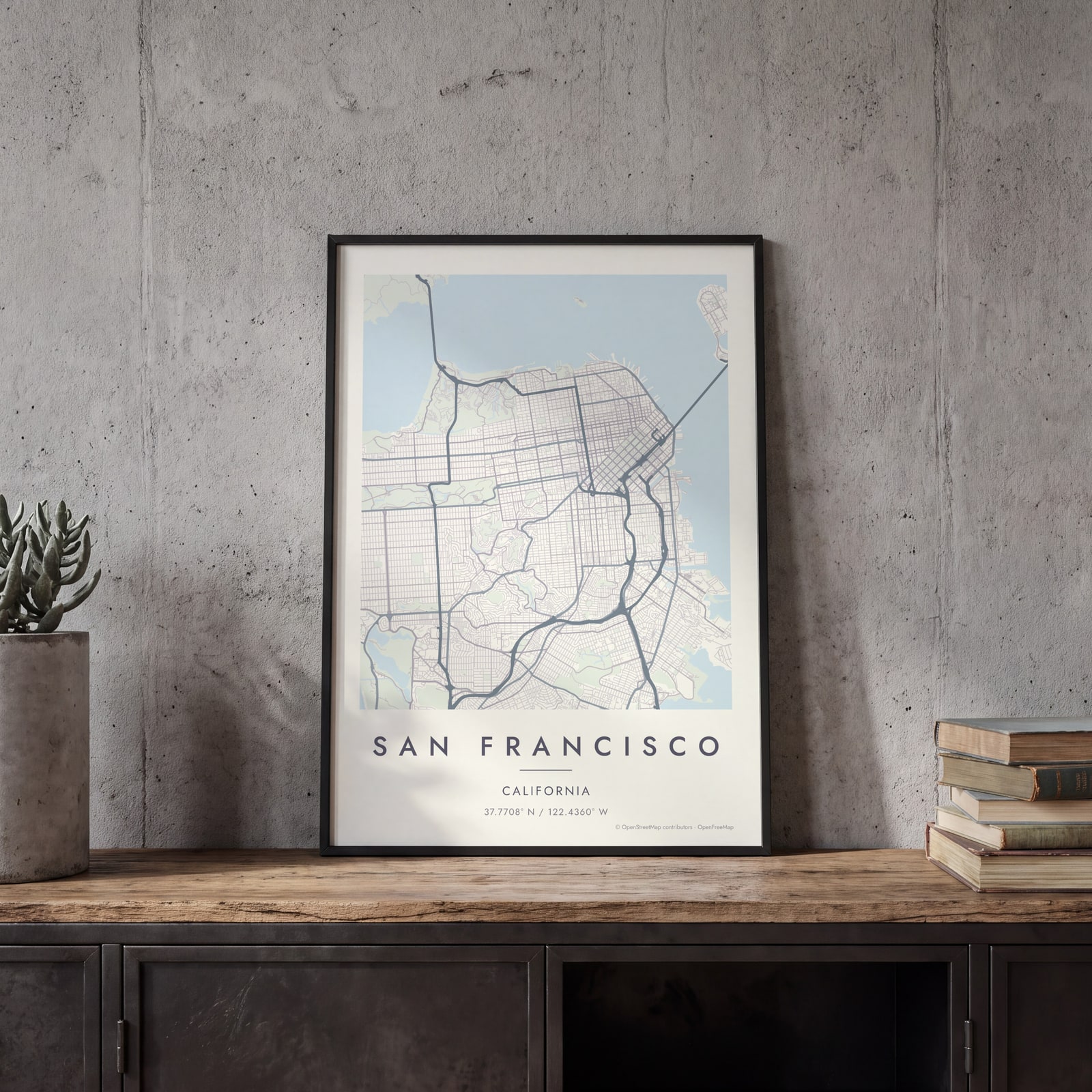
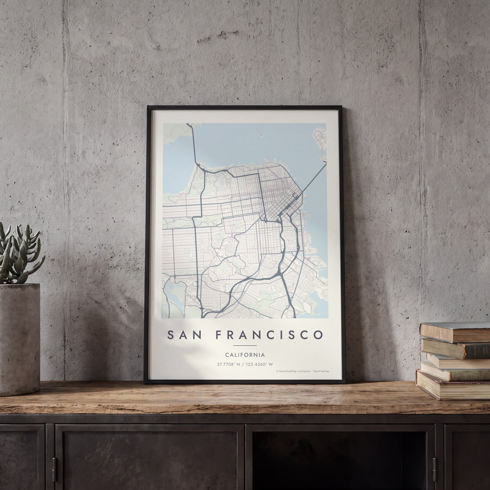 San Francisco map poster: the whole city's streets, water and parksEdit this →
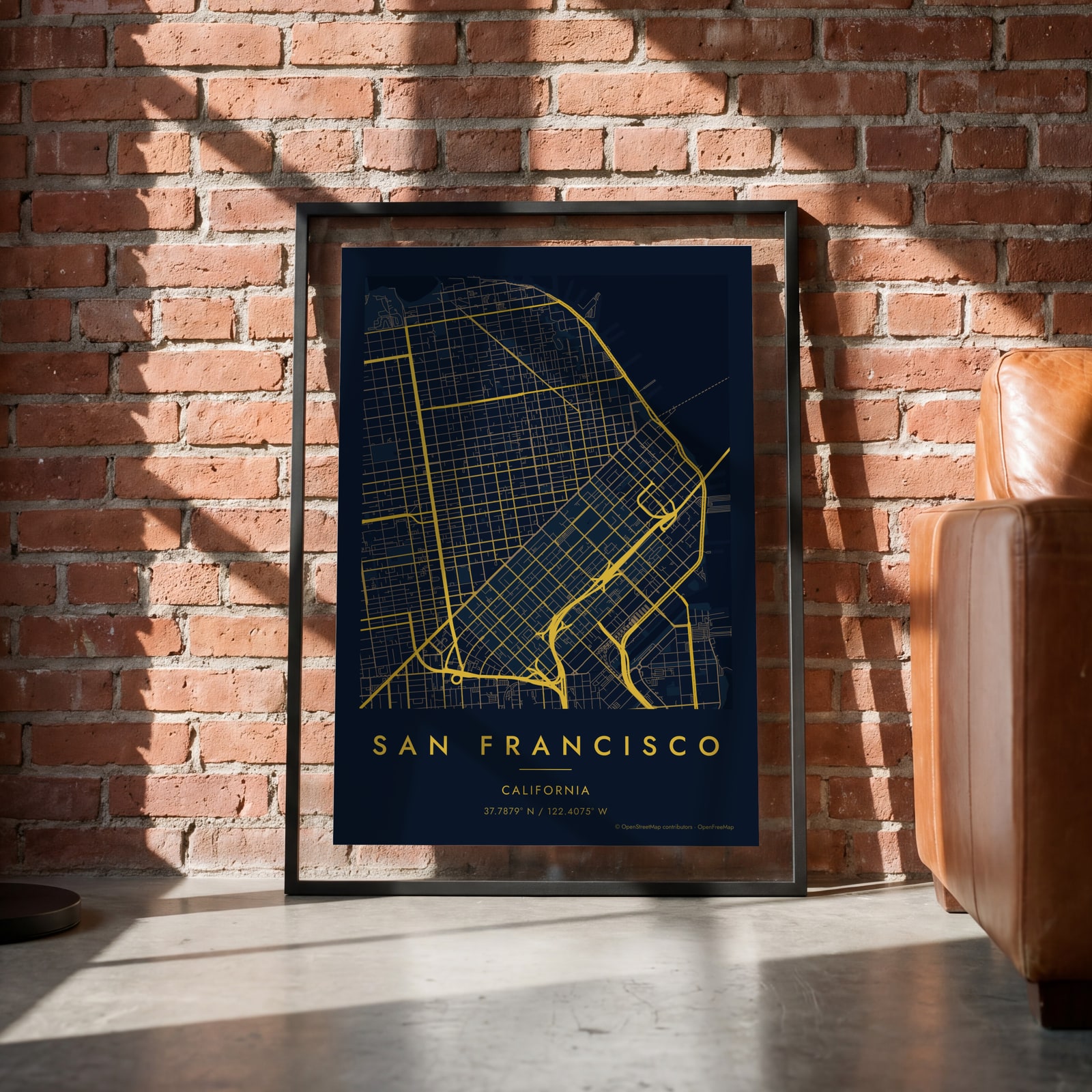 Midnight blue street map of central San FranciscoEdit this →
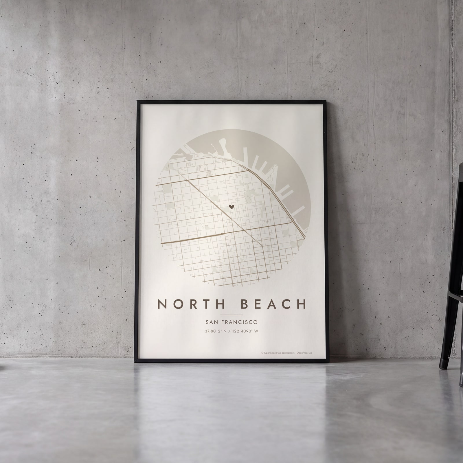 Round map of North Beach, San Francisco, with a heartEdit this →
Examples
Open any of them to change the words, the place, the date and the style, then download the print file.
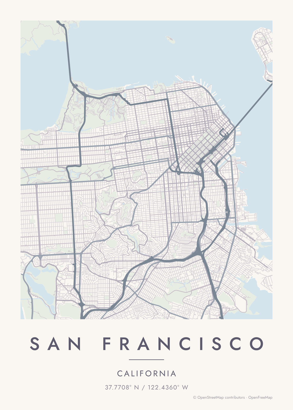 San Francisco map poster: the whole city's streets, water and parksEdit this →More map art →
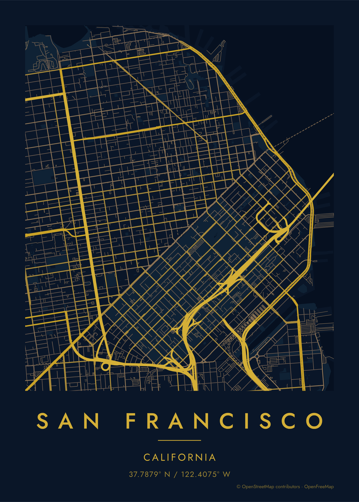 Midnight blue street map of central San FranciscoEdit this →More map art →
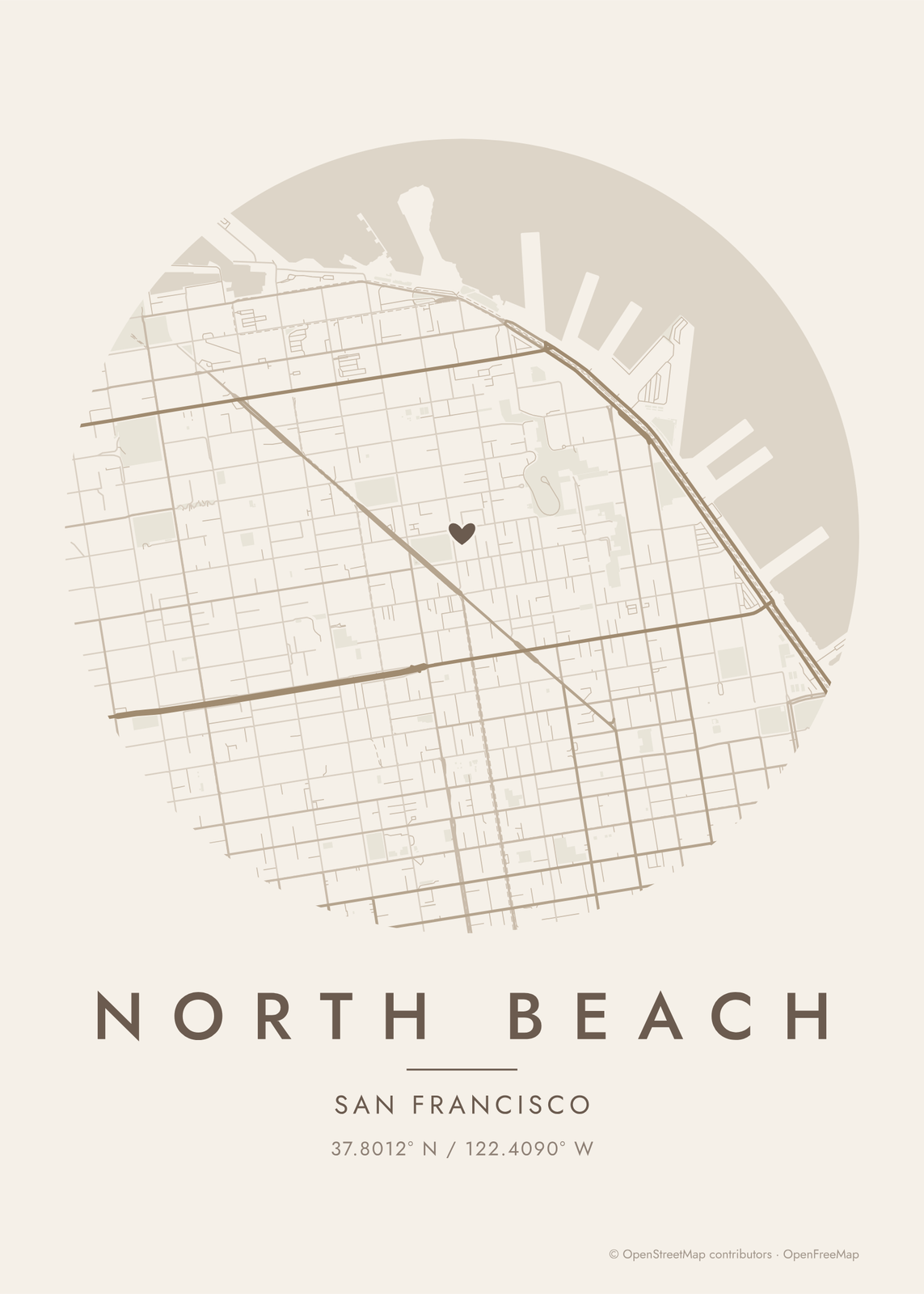 Round map of North Beach, San Francisco, with a heartEdit this →More map art →
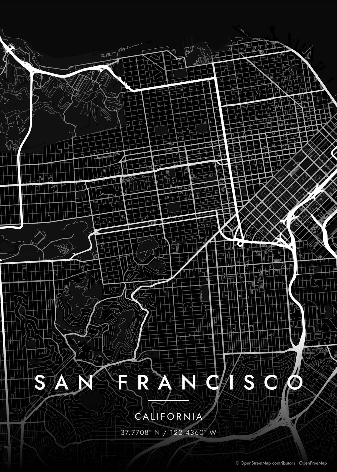 San Francisco streets in white on black, edge to edgeEdit this →More map art →
How San Francisco's streets are laid out
San Francisco sits at the tip of a peninsula, with the Pacific on the west, the Golden Gate on the north and the bay on the east. Early surveyors laid straight grids over it and mostly ignored the hills, so streets like Filbert run straight up the slopes and turn into stairs where it gets too steep. Market Street cuts across on a diagonal, and the blocks south of it are bigger and set at a different angle from those to the north.
Golden Gate Park is a long green rectangle, about three miles from the Haight to Ocean Beach, with the narrow Panhandle reaching east. West of Twin Peaks, the Richmond and the Sunset fill the old dunes with numbered avenues, and in the Sunset the cross streets go in alphabetical order, from Irving to Wawona. Around Twin Peaks the grid gives way to streets that curve along the hillsides.
Places to frame
- The Mission: flat grid blocks around Dolores Park and Valencia Street.
- North Beach: between Telegraph Hill and Russian Hill, around Washington Square.
- Haight-Ashbury: the blocks at the east end of Golden Gate Park, by the Panhandle.
- Noe Valley: steep blocks around 24th Street.
- The Castro: the upper end of Market Street, below Twin Peaks.
- Bernal Heights: streets wrapped around a round hilltop park.
- The Sunset: numbered avenues south of Golden Gate Park, out to Ocean Beach.
Other ways to draw San Francisco
Road map art draws every road of San Francisco in a single color, as a dense line portrait of the whole city.
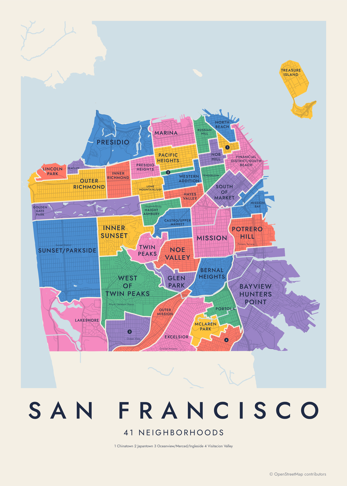
The San Francisco neighborhood map names every part of the city: all 41 neighborhoods or 117 neighborhoods (detailed), each in its own color, with yours highlighted if you like.
How to make your San Francisco map
- Open the San Francisco map, or search any street, neighborhood or address.
- Drag to center it and zoom to set how much it shows, from a few blocks to the whole city.
- Pick colors and a shape: framed, edge to edge or a circle; add a heart, a pin or a dot at the center.
- Write a title and a line under it, or keep the city's name, then download the print file.
Questions
Which part of San Francisco should I put on the map?
The whole city fits on one poster, and it makes a strong one: the grid, Golden Gate Park and water on three sides. For something personal, zoom in on one neighborhood, like the Mission or the Sunset, until the blocks read clearly.
Does the map show the hills?
Not as shading. The map draws streets, water and parks, not terrain. The hills still show, though: streets bend around Twin Peaks and Bernal Heights, and the hilltop parks sit as green shapes in the grid.
Can I include the Golden Gate Bridge or Oakland?
Yes. The map shows everything inside the area you choose, so zoom out and the bridges, the Marin shore and the East Bay come in, with the bay as open water between them.
Where does the map data come from?
From OpenStreetMap, the open map built by volunteers. Its credit line prints small in the corner of every map.
What sizes can I print?
US Letter, 8 × 10, 11 × 14, 12 × 16 and 12 × 18 in, A4 and A3, free. You download a 300 DPI JPEG drawn at the size you pick. Larger prints, up to 24 × 36 in, are coming soon.
Related
Gift ideas by occasion




Every example is made with the Posterage generators. Change anything, then download it as a 300 DPI JPEG.