Seattle map poster the streets between the sound and the lake, as art
Draw Seattle as clean line art: the streets packed between Puget Sound and Lake Washington, with Lake Union and the ship canal across the middle. Center it on Capitol Hill, Ballard or your own block, pick one of 18 color styles, and mark the spot. City Roads draws every road in one color, for a denser look.
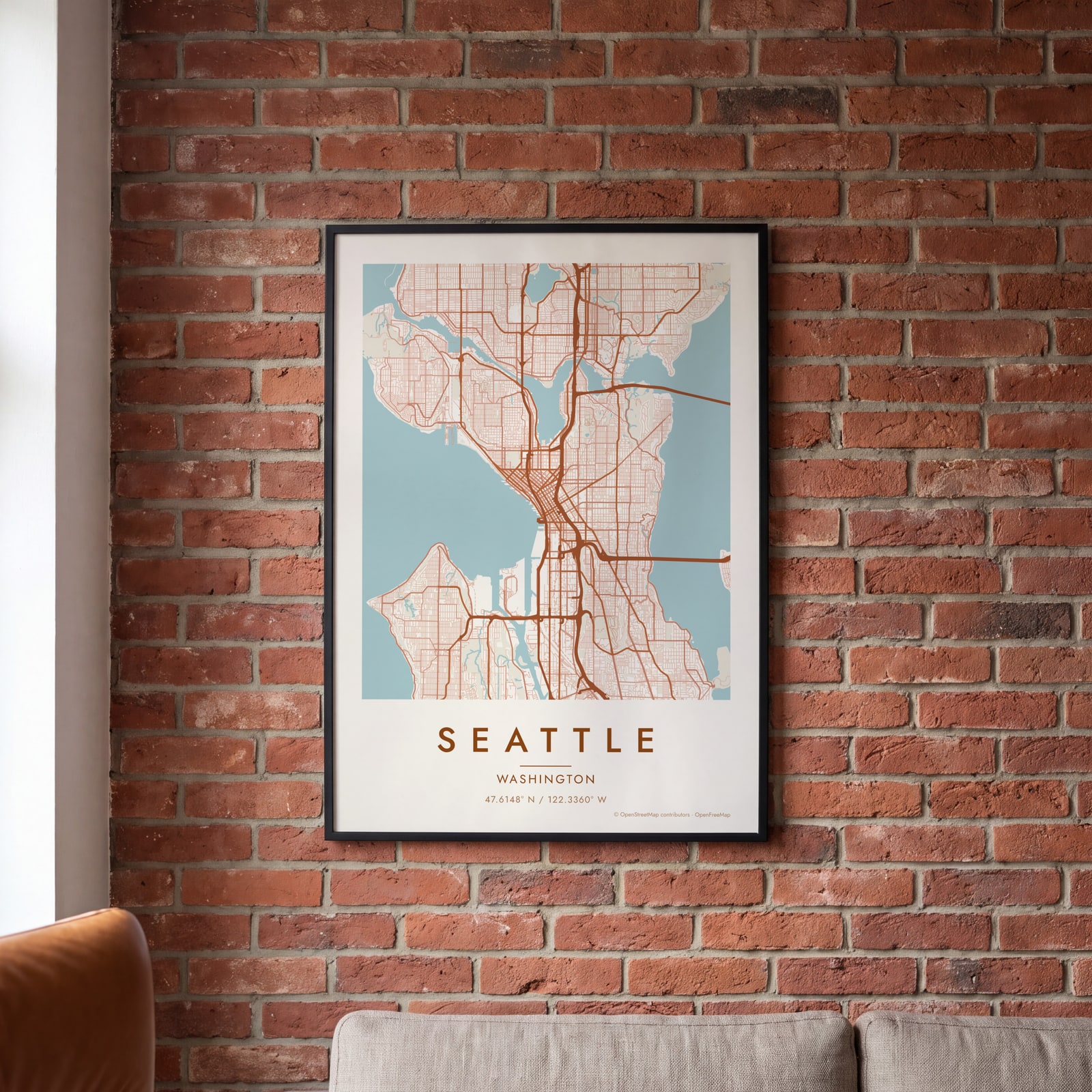
On the wall
A few of them framed at home. Open any one to make it yours.
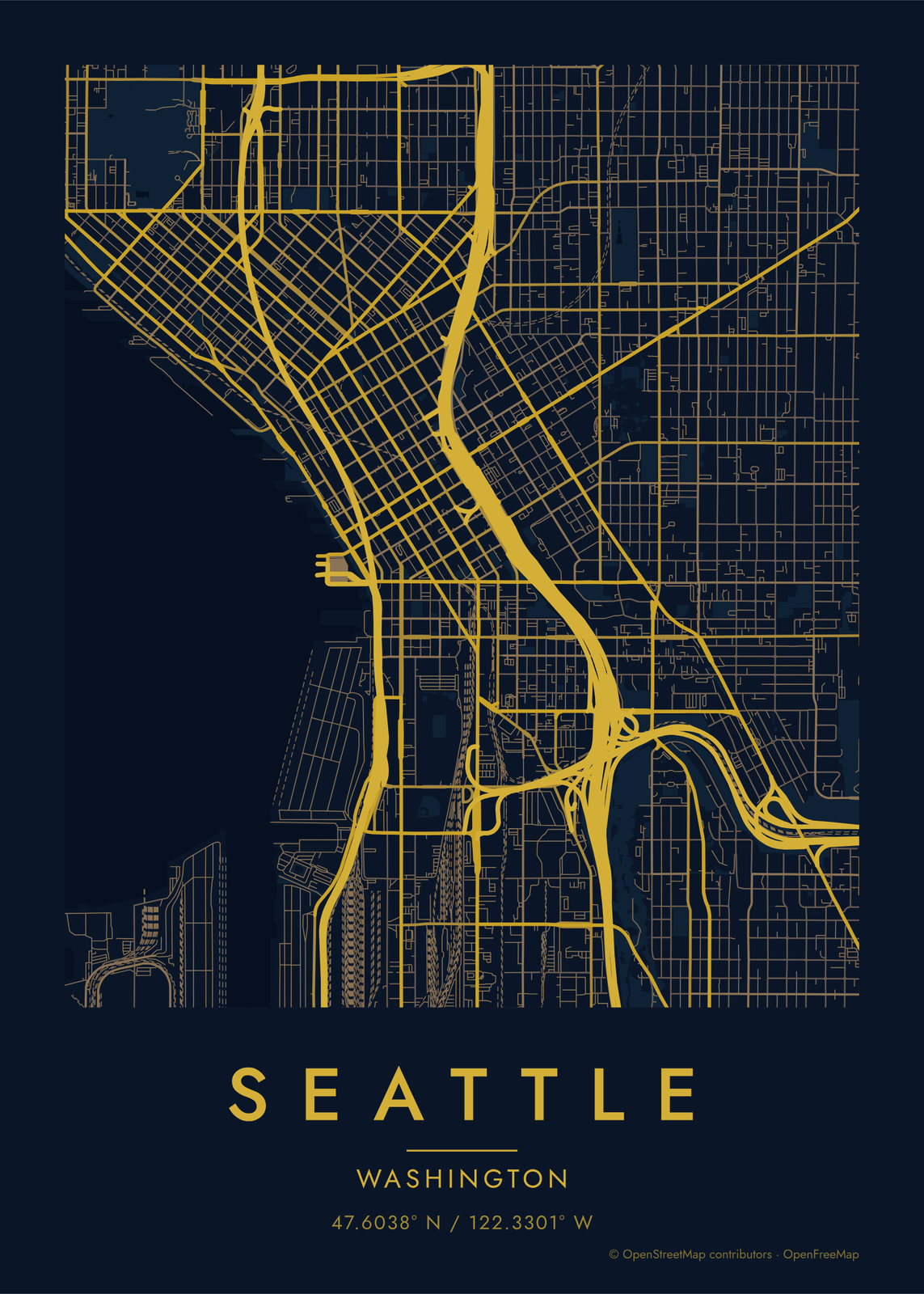
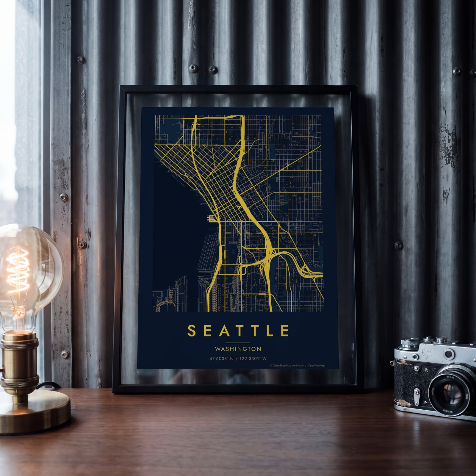 Midnight blue street map of central SeattleEdit this →
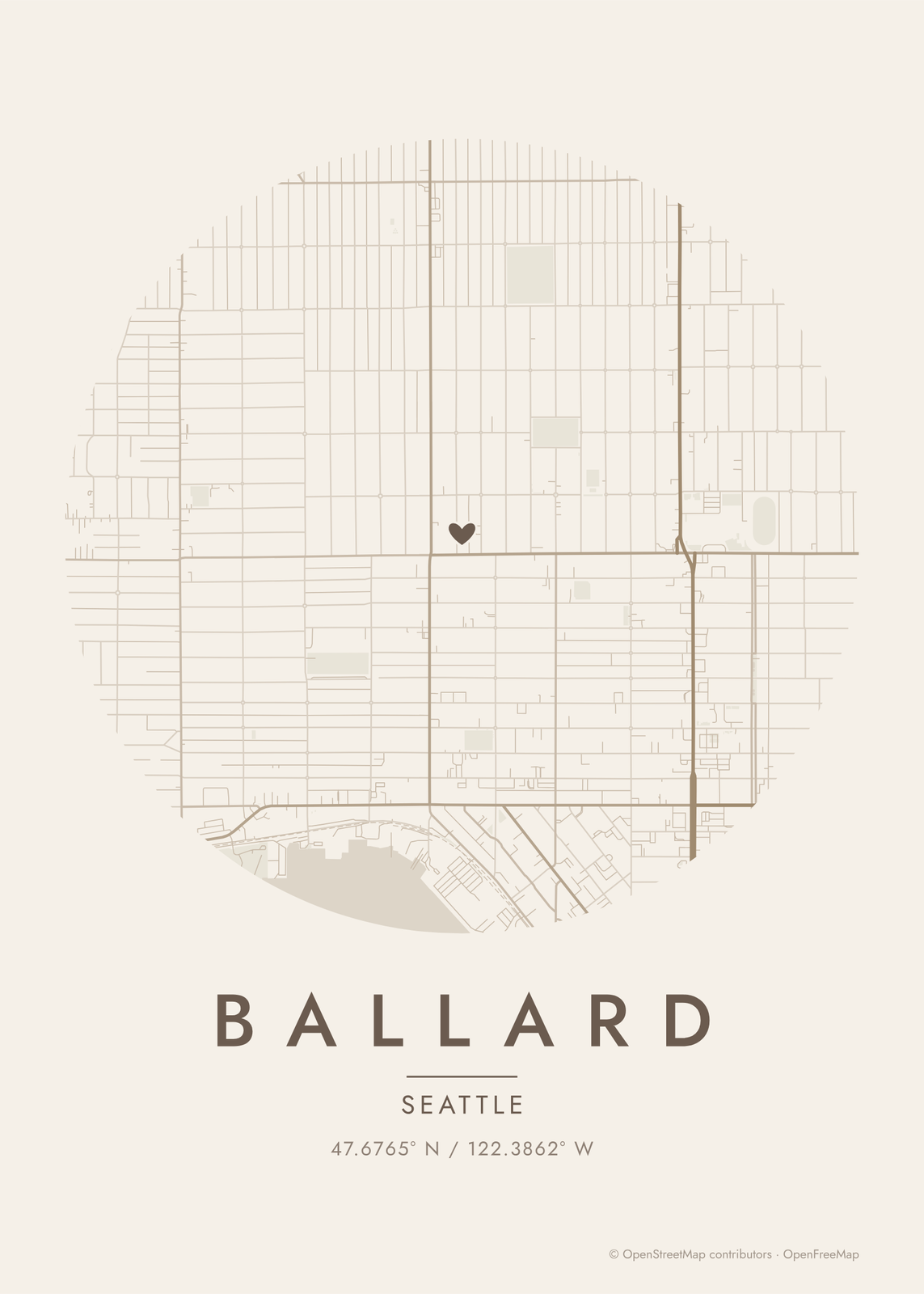
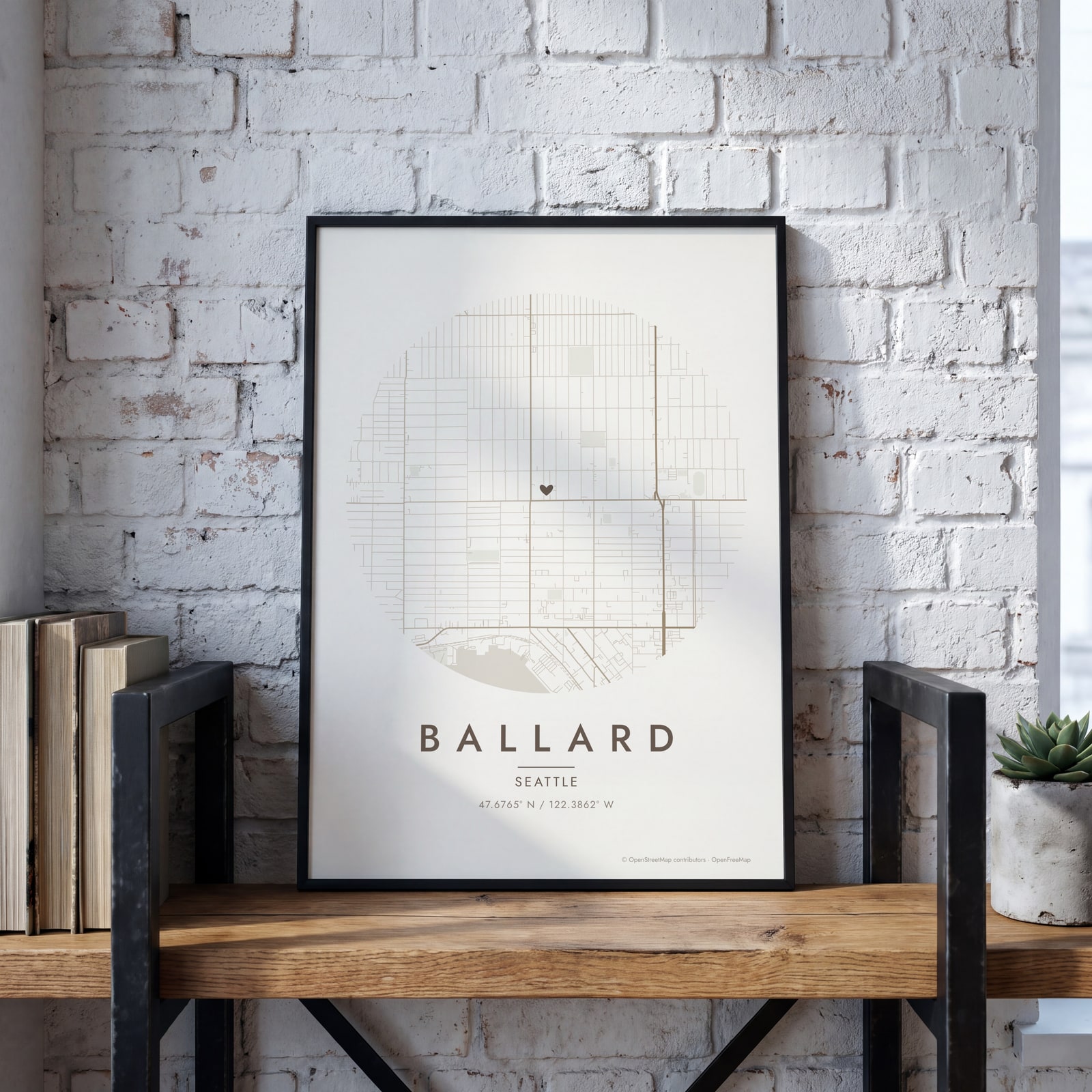 Round map of Ballard, Seattle, with a heartEdit this →
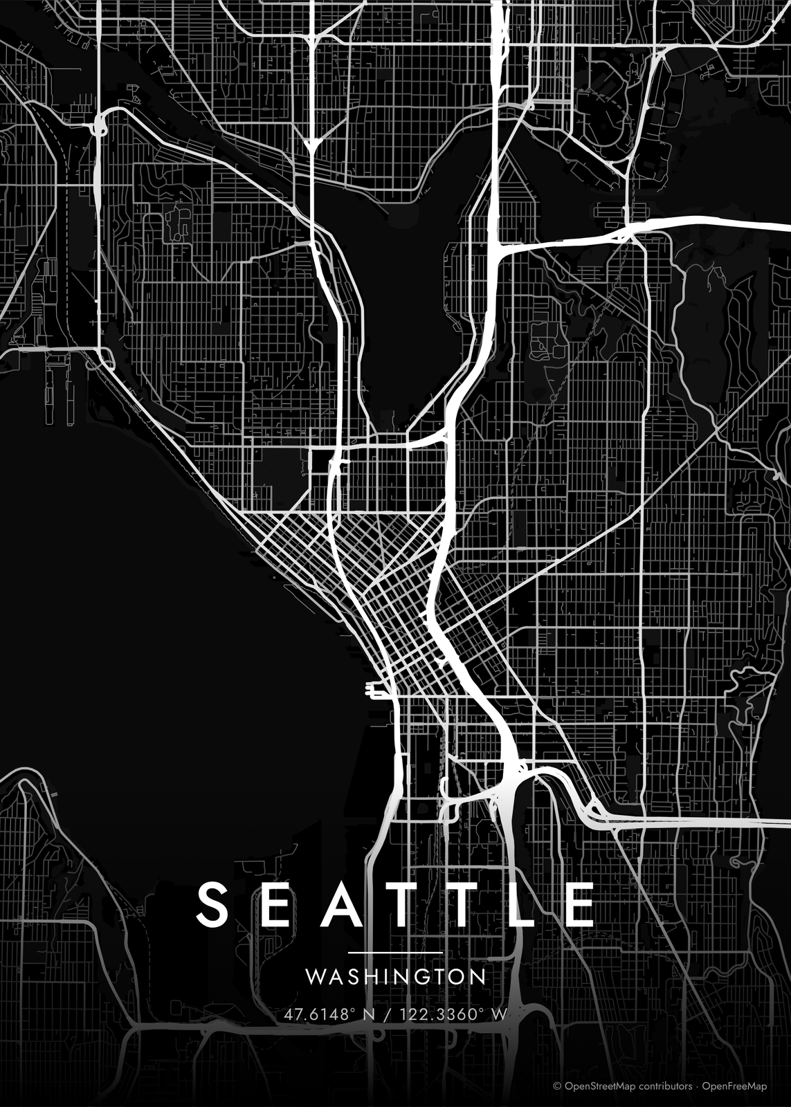
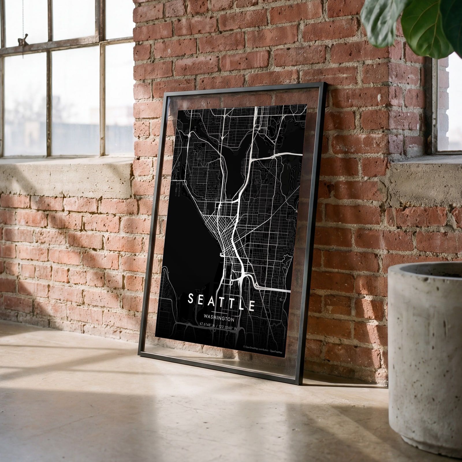 Seattle streets in white on black, edge to edgeEdit this →
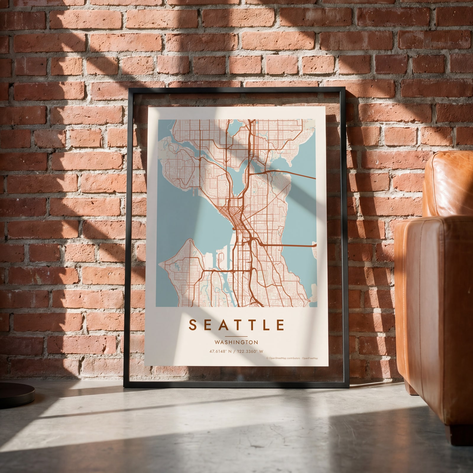 Seattle map poster: the whole city's streets, water and parksEdit this →
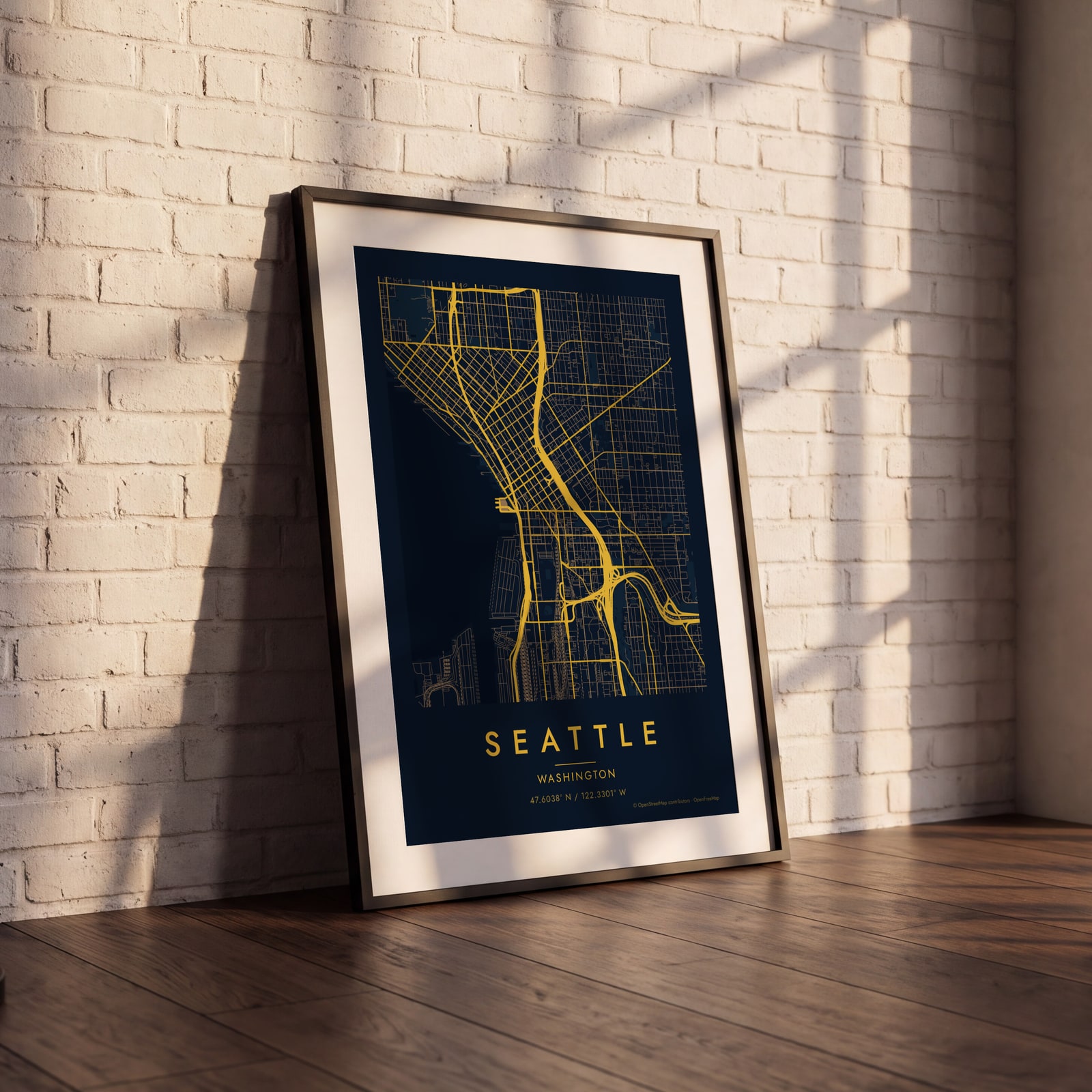 Midnight blue street map of central SeattleEdit this →
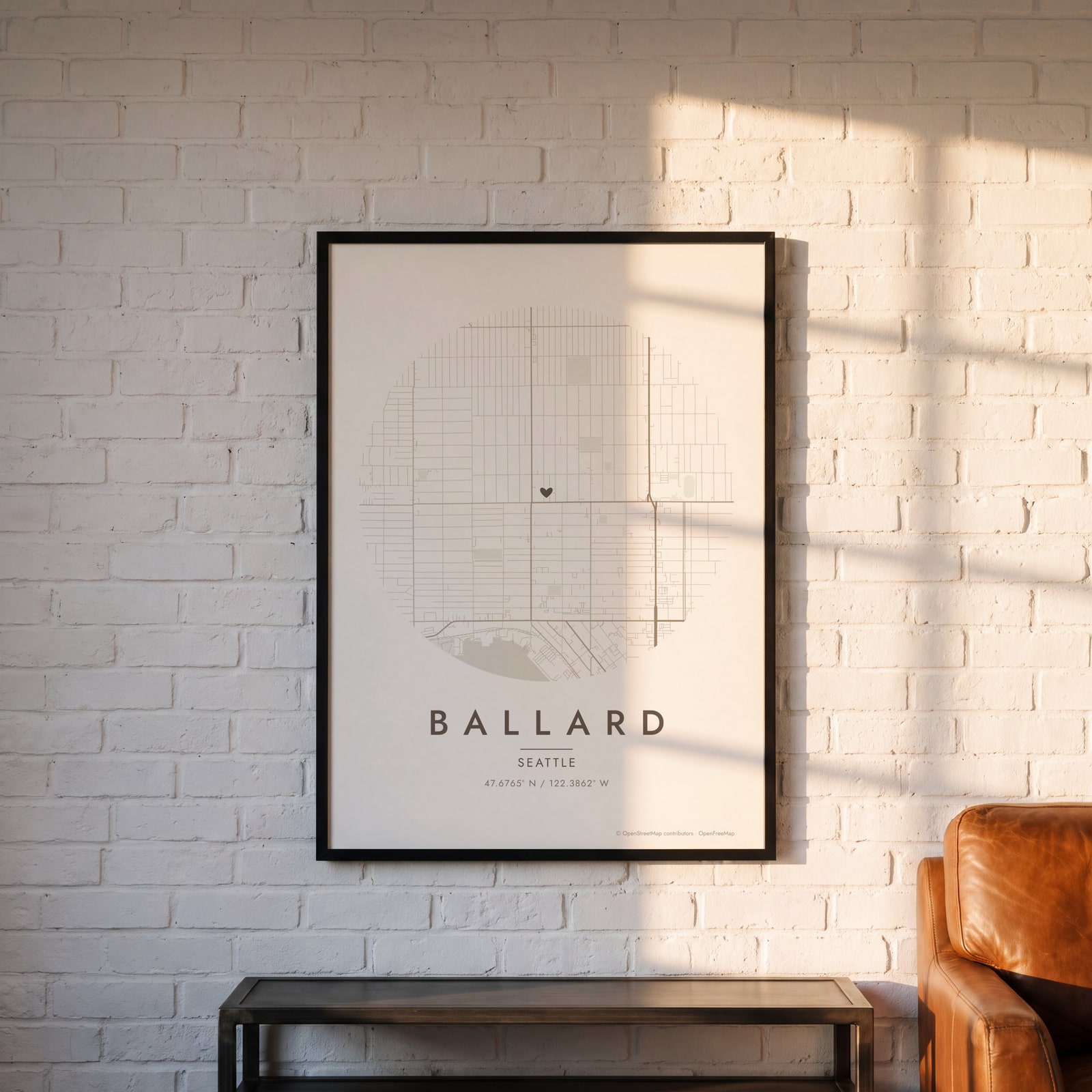 Round map of Ballard, Seattle, with a heartEdit this →
Examples
Open any of them to change the words, the place, the date and the style, then download the print file.
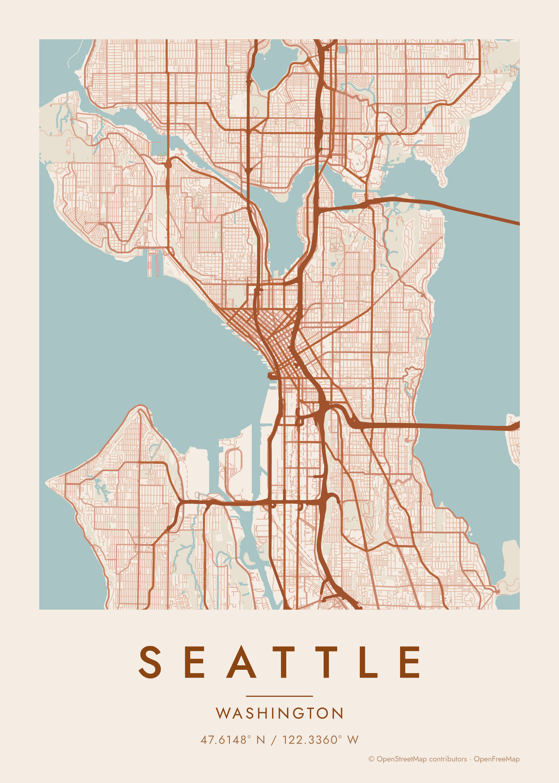
How Seattle's streets are laid out
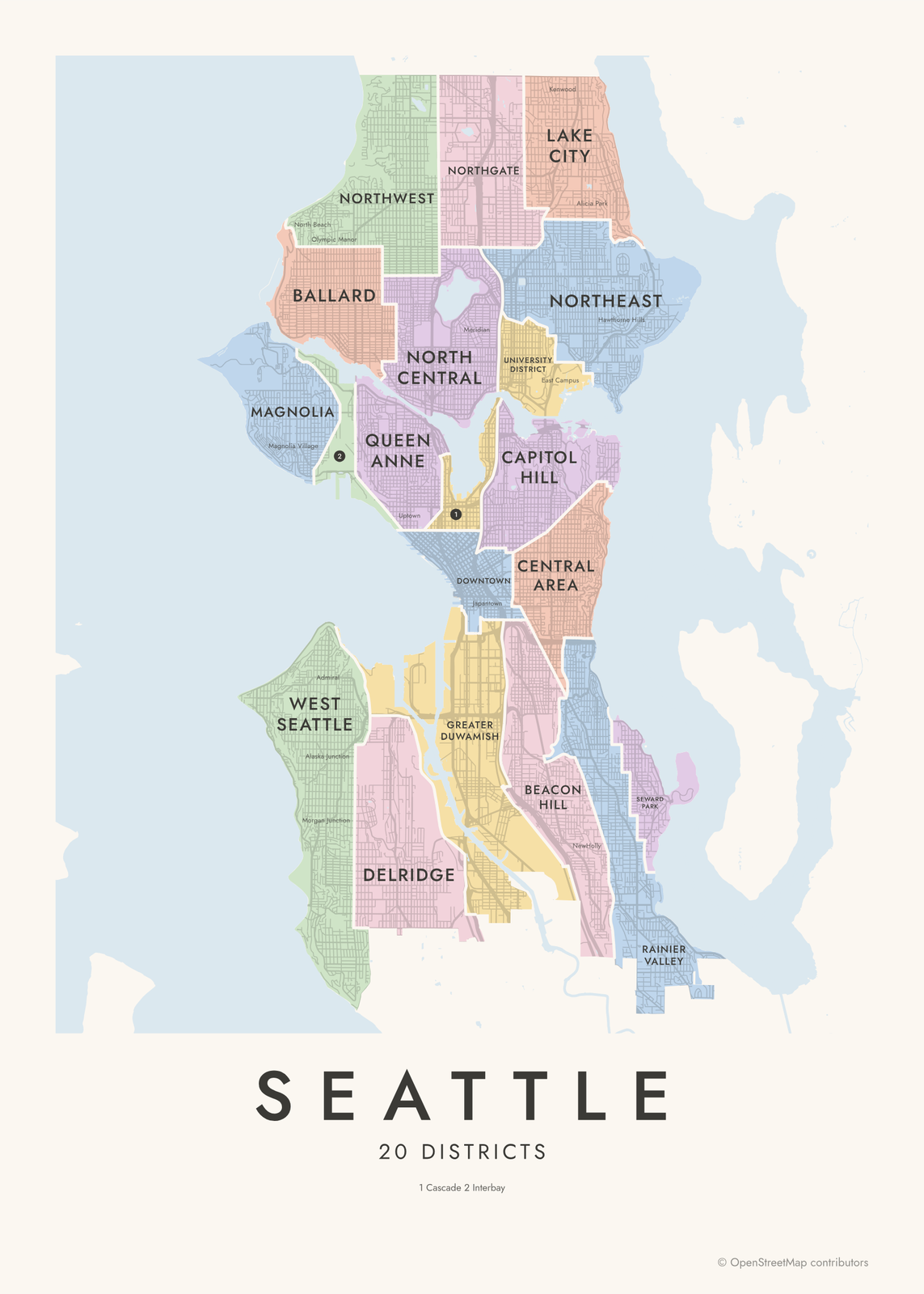
Seattle is a long, narrow city between two bodies of water: Puget Sound and Elliott Bay on the west, Lake Washington on the east. Lake Union sits in the middle, and the Lake Washington Ship Canal, opened in 1917, cuts across the city from the locks in Ballard to the big lake. Everything north of it is reached by bridges.
Downtown has grids that don't line up. In 1853 the founders filed separate plats: Arthur Denny and Carson Boren ran their streets along the shoreline, while Doc Maynard ran his to the compass, and the two meet at an angle along Yesler Way. The grid shifts again at Stewart Street. Most of the rest of the city followed Maynard's north-south grid, broken up by hills like Queen Anne, Capitol Hill and Beacon Hill, and by big parks such as Discovery Park.
Places to frame
- Capitol Hill: east of downtown, between Volunteer Park and Cal Anderson Park.
- Ballard: north of the ship canal, by the Ballard Locks.
- Fremont: where the Fremont Bridge crosses the ship canal.
- Queen Anne: the hill above Seattle Center and the Space Needle.
- Wallingford: between Green Lake and Lake Union, down to Gas Works Park.
- Pioneer Square: the oldest part of downtown, where the grids meet at Yesler Way.
- West Seattle: across the Duwamish, with Alki Beach facing downtown.
Other ways to draw Seattle
Road map art draws every road of Seattle in a single color, as a dense line portrait of the whole city.
The Seattle neighborhood map names every part of the city: all 20 districts or 94 neighborhoods, each in its own color, with yours highlighted if you like.
How to make your Seattle map
- Open the Seattle map, or search any street, neighborhood or address.
- Drag to center it and zoom to set how much it shows, from a few blocks to the whole city.
- Pick colors and a shape: framed, edge to edge or a circle; add a heart, a pin or a dot at the center.
- Write a title and a line under it, or keep the city's name, then download the print file.
Questions
Which part of Seattle should I put on the map?
Downtown and the lakes make the most recognizable map: Elliott Bay, Lake Union and the ship canal in one frame. Zoom out for the whole city between the sound and Lake Washington, or zoom in on a single neighborhood like Ballard or Capitol Hill.
Does the map show the water?
Yes. Water is its own layer, so the sound, the lakes and the ship canal print in the style's water color, and the land between them takes the city's shape.
Can I mark my street or where we met?
Yes. Drag the map so the spot is at the center and add a heart, a pin or a dot. Street names aren't printed on the map, so write the place or the date in the subtitle.
Where does the map data come from?
From OpenStreetMap, the open map built by volunteers. Its credit line prints small in the corner of every map.
What sizes can I print?
US Letter, 8 × 10, 11 × 14, 12 × 16 and 12 × 18 in, A4 and A3, free. You download a 300 DPI JPEG drawn at the size you pick. Larger prints, up to 24 × 36 in, are coming soon.
Related
Gift ideas by occasion




Every example is made with the Posterage generators. Change anything, then download it as a 300 DPI JPEG.