Florence neighborhood map the five quartieri, named
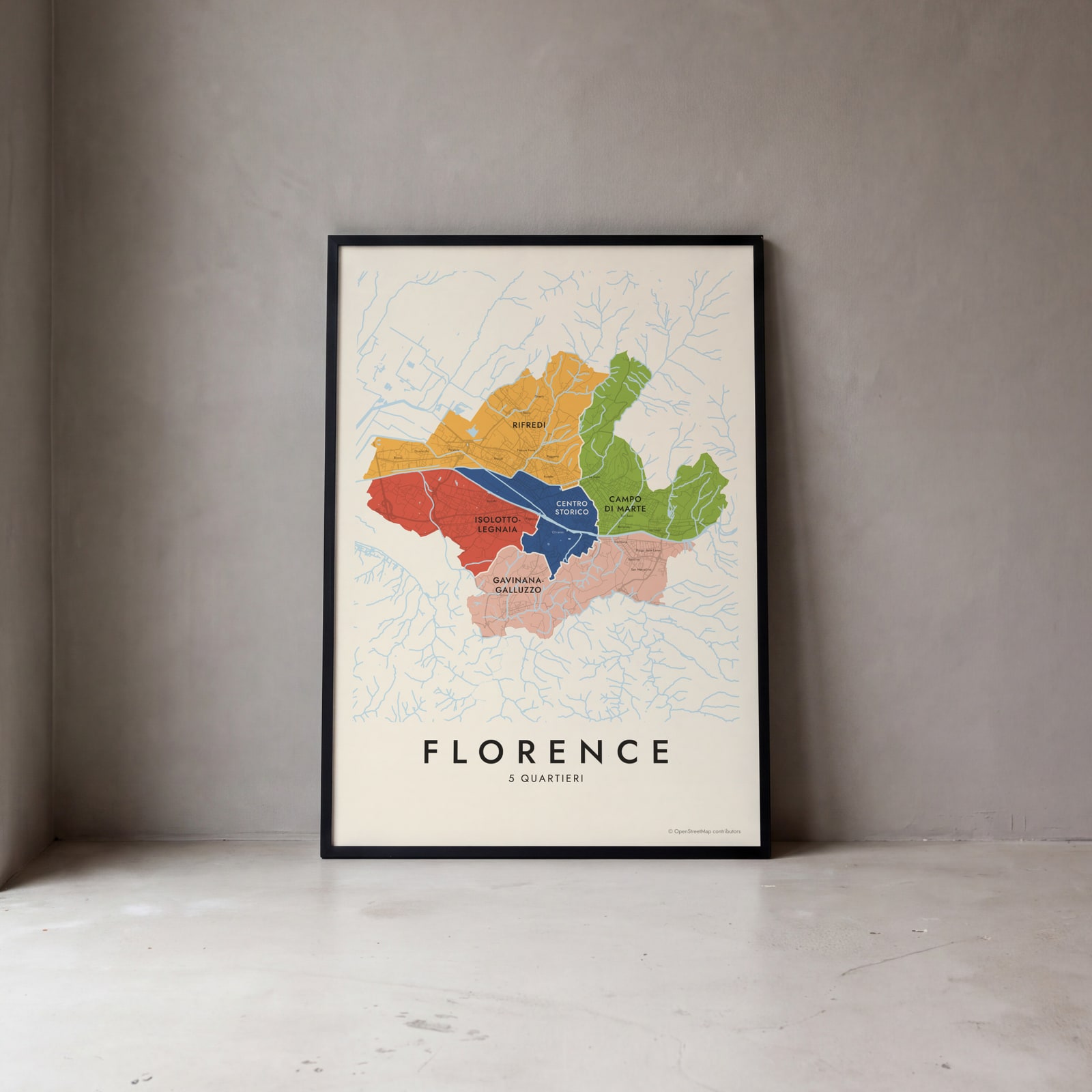
This poster maps Florence split into its 5 quartieri, the city's official districts, from the Centro Storico to Rifredi. Neighborhood names like Oltrarno, San Frediano, Le Cure and Novoli print as small labels. Highlight your quartiere and print it.
On the wall
A few of them framed at home. Open any one to make it yours.
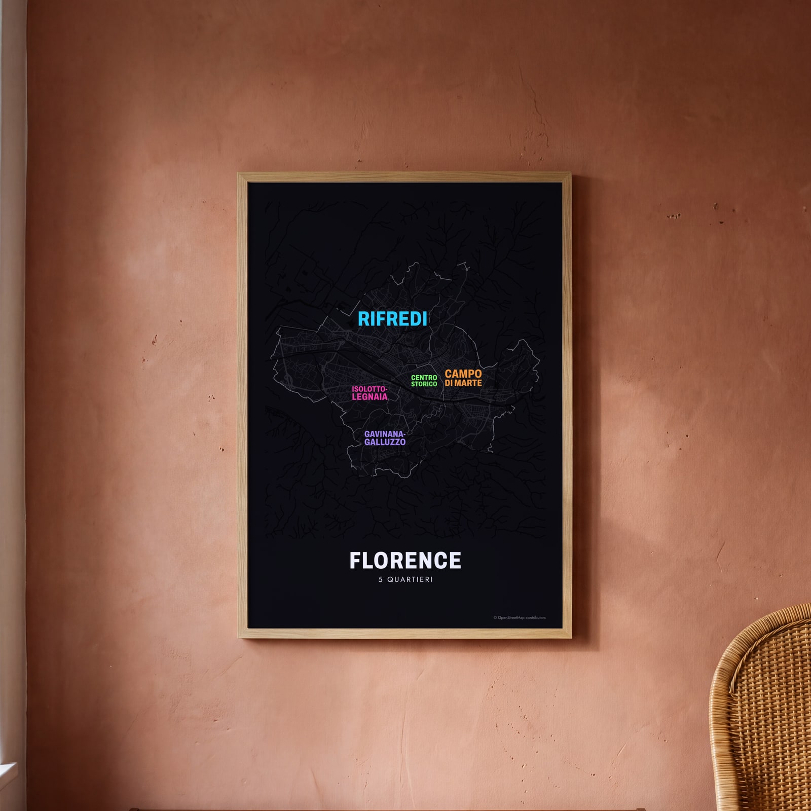 Typographic Florence map: the names fill their quartieriEdit this →
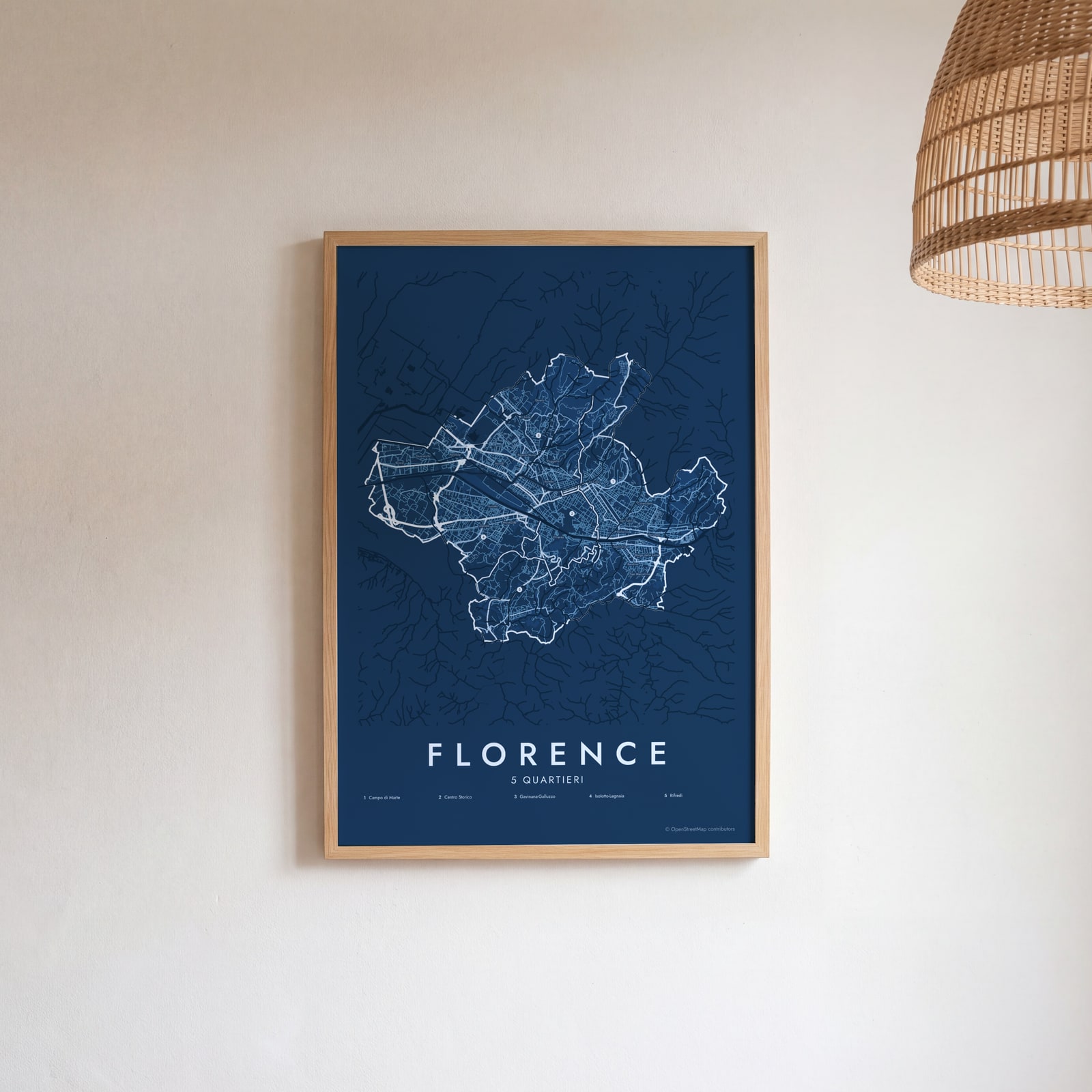 Florence street map with numbered quartieri and their listEdit this →
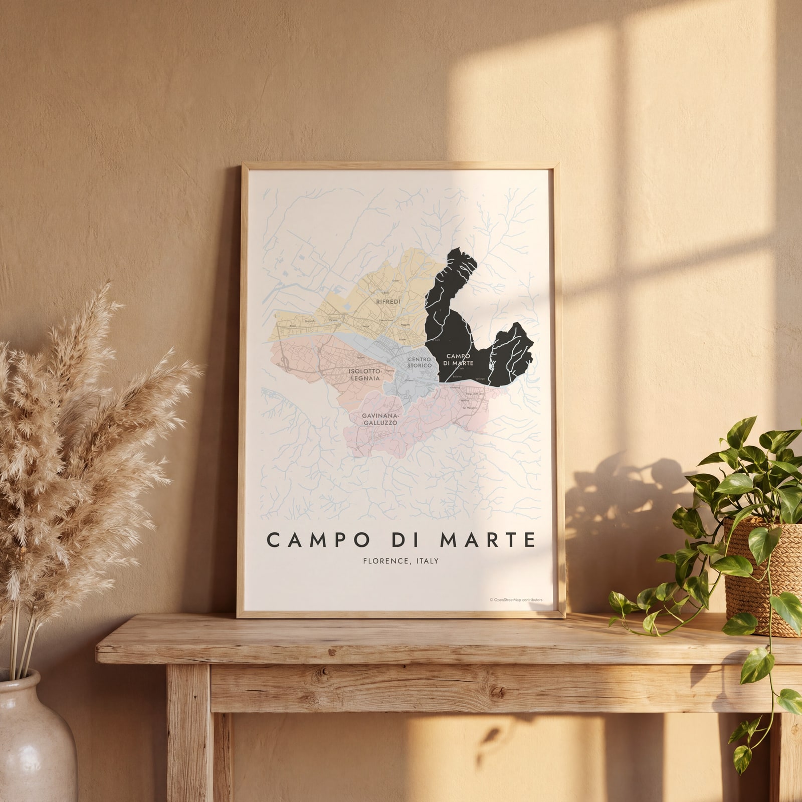 Campo di Marte highlighted on a map of FlorenceEdit this →
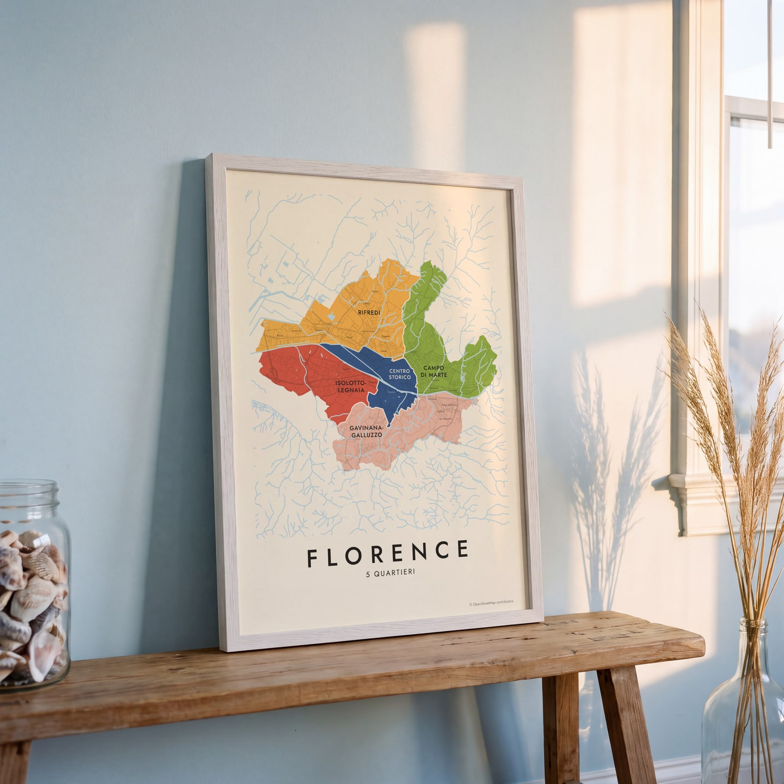 Florence neighborhood map in color, every quartiere namedEdit this →
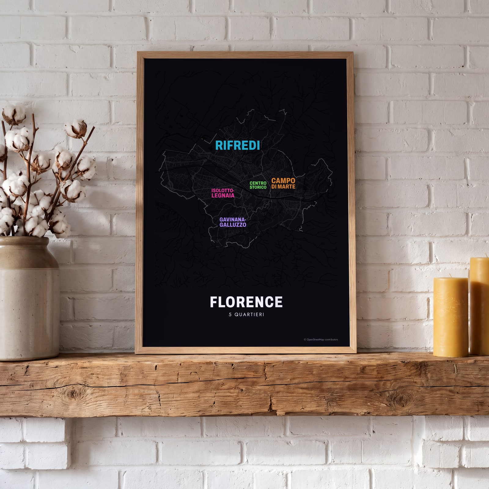 Typographic Florence map: the names fill their quartieriEdit this →
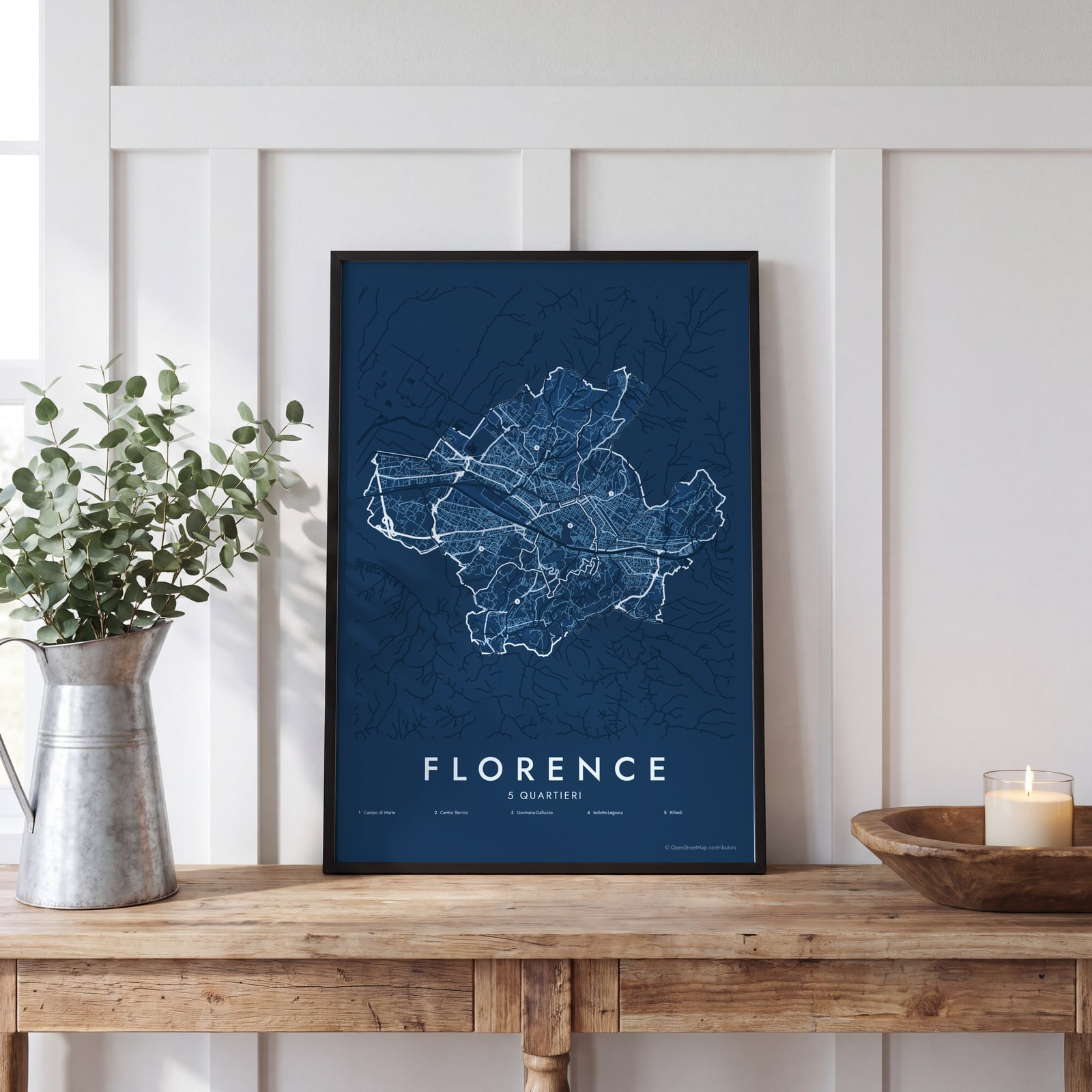 Florence street map with numbered quartieri and their listEdit this →
Examples
Open any of them to change the words, the place, the date and the style, then download the print file.
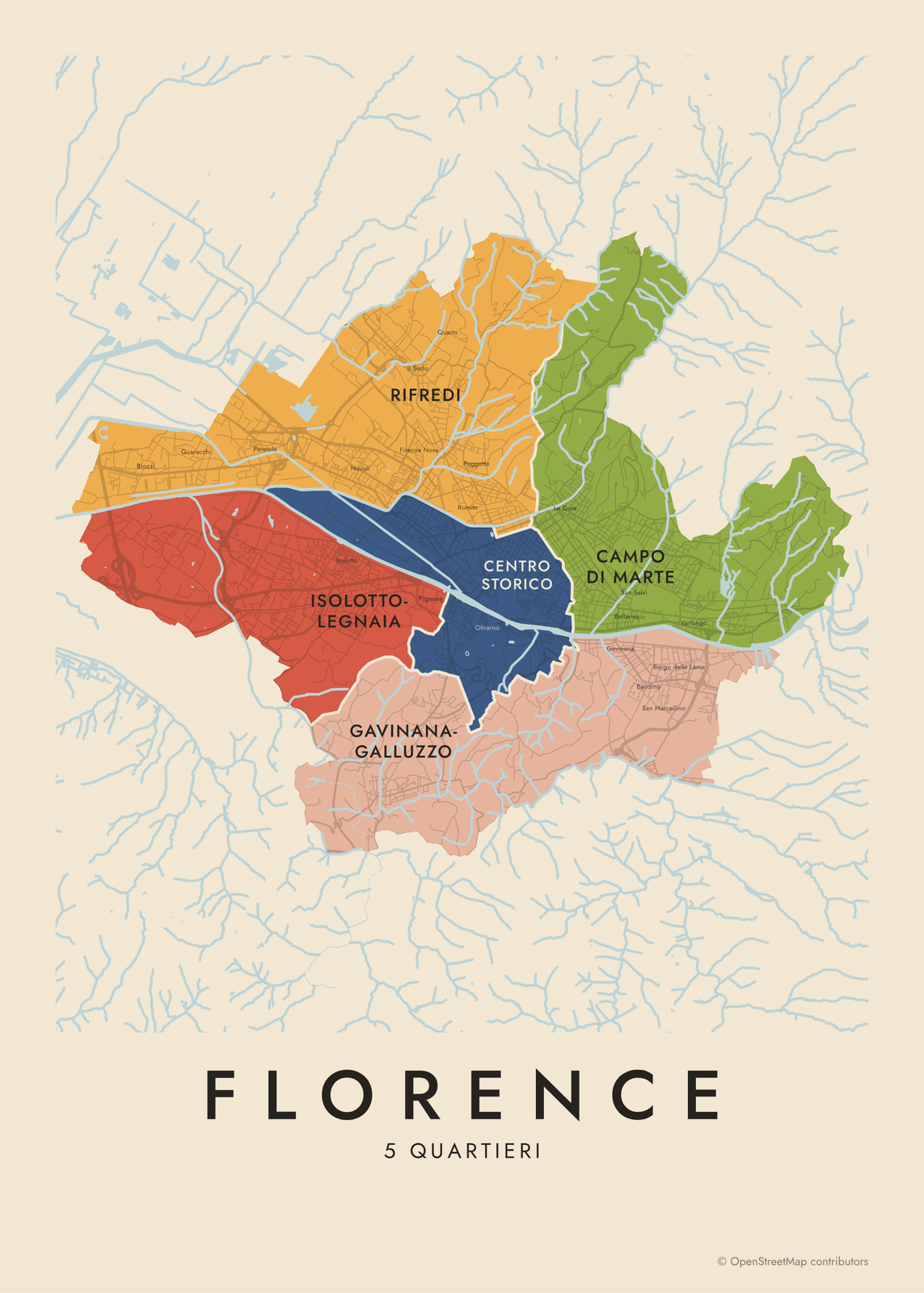 Florence neighborhood map in color, every quartiere namedEdit this →More neighborhood maps →
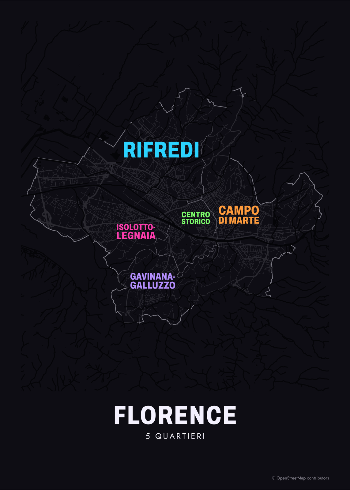 Typographic Florence map: the names fill their quartieriEdit this →More neighborhood maps →
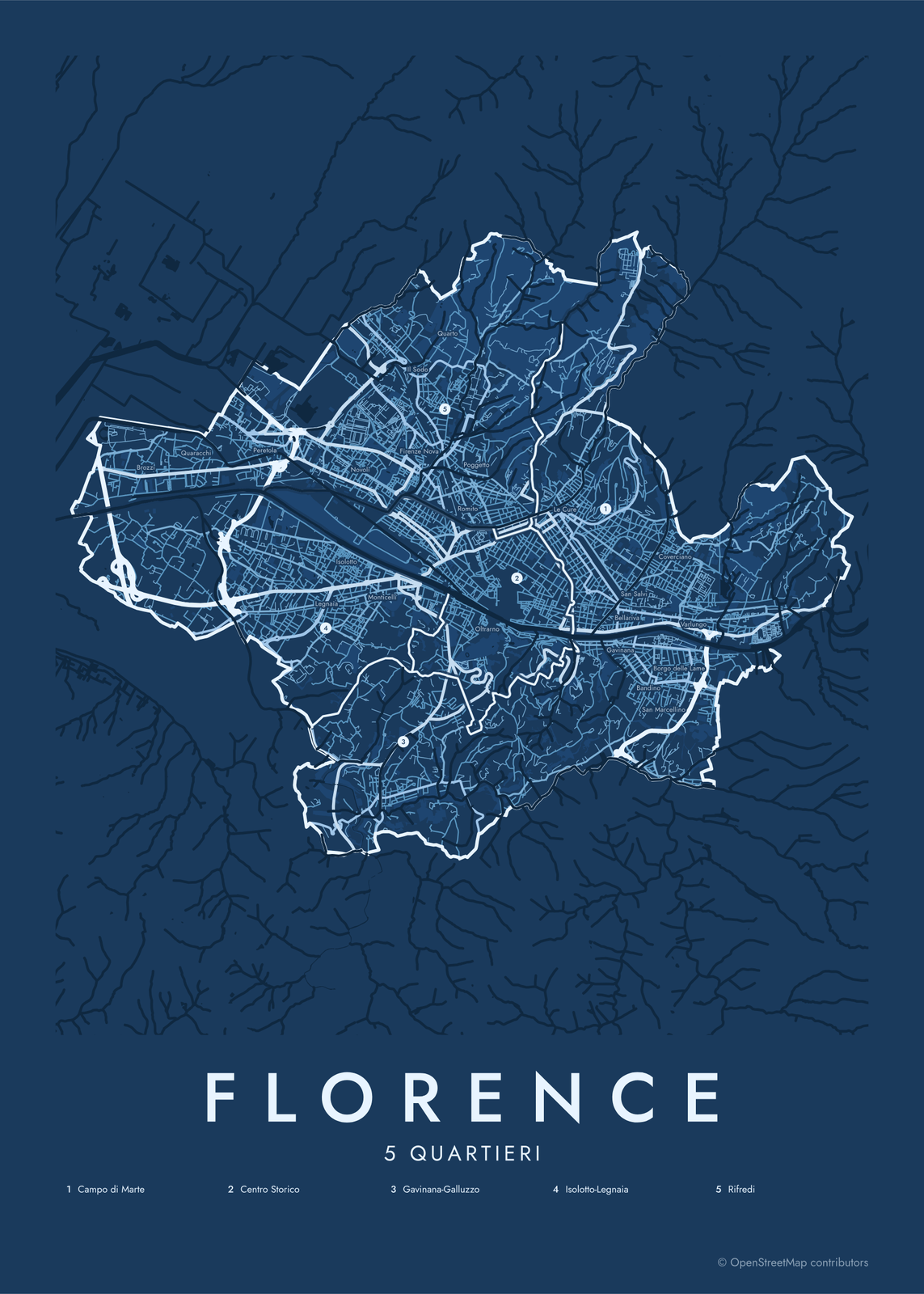 Florence street map with numbered quartieri and their listEdit this →More neighborhood maps →
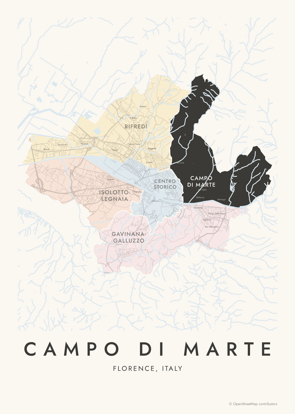 Campo di Marte highlighted on a map of FlorenceEdit this →More neighborhood maps →
How Florence is divided
Florence has had 5 quartieri since 1990, when a reform merged its 14 earlier ones. Each has its own elected council and is named after the main areas inside it: Centro Storico (Quartiere 1), Campo di Marte (2), Gavinana-Galluzzo (3), Isolotto-Legnaia (4) and Rifredi (5).
Day to day, Florentines talk about smaller neighborhoods: the Oltrarno across the river, San Frediano, San Niccolò, Le Cure, Novoli. These have no official borders, so they print as small labels on the map. Fiesole, on the hill to the northeast, and Sesto Fiorentino are separate towns.
All 5 quartieri of Florence
- Campo di Marte
- Centro Storico
- Gavinana-Galluzzo
- Isolotto-Legnaia
- Rifredi
More neighborhood names on the map
Inside the quartieri, the map also names 34 smaller neighborhoods where they fit, from OpenStreetMap: Brozzi, Quaracchi, Peretola, Isolotto, Novoli, Petriolo, Legnaia, Il Barco, Monticelli, Il Sodo, Firenze Nova, Pignone, San Iacopino, Quarto, San Frediano, Romito, Poggetto, Statuto, Oltrarno, Arcetri, San Niccolò, Le Cure, Ricorboli, Gavinana, Bellariva, San Salvi, Bandino, San Marcellino, Coverciano, Borgo delle Lame, Badia a Ripoli, Varlungo, Sorgane, Nave a Rovezzano. Turn them off under Names if you want only the quartieri.
Neighborhoods to know
- Centro Storico: Quartiere 1, with the Duomo, the Uffizi and the Ponte Vecchio; a UNESCO World Heritage site since 1982.
- Oltrarno: the south bank of the Arno, with Palazzo Pitti and the Boboli Gardens.
- San Frediano: an Oltrarno neighborhood of artisan workshops by the old city gate, Porta San Frediano.
- San Niccolò: a small quarter below Piazzale Michelangelo, by the medieval Porta San Niccolò tower.
- Campo di Marte: named for the military drill ground that once stood here; home of the Artemio Franchi stadium.
- Arcetri: the hill where Galileo spent his last years, now home to an astrophysical observatory.
- Gavinana-Galluzzo: reaches south to the Certosa del Galluzzo, a 14th-century monastery.
- Isolotto: a 1950s planned neighborhood on the south bank of the Arno, west of the center.
How to make your Florence neighborhood poster
- Open the Florence map.
- Pick a style: Colored areas, Typographic (the names fill the map) or a Street map with the borders over the streets.
- Tap your own neighborhood to highlight it; it becomes the poster's title.
- Drag and zoom to frame the whole city or just your part of it, then pick a size and download the print file.
Questions
How many neighborhoods does Florence have?
Officially, Florence has 5 quartieri. Within them, Florentines use dozens of neighborhood names, like Oltrarno, Le Cure and Novoli, which appear on this map as labels.
What are the 5 quartieri of Florence?
Quartiere 1 Centro Storico, Quartiere 2 Campo di Marte, Quartiere 3 Gavinana-Galluzzo, Quartiere 4 Isolotto-Legnaia and Quartiere 5 Rifredi.
What is the Oltrarno?
Oltrarno means "beyond the Arno": the part of the old city on the south bank, across the Ponte Vecchio. It belongs to Quartiere 1 and includes San Frediano, Santo Spirito and San Niccolò.
Is Fiesole part of Florence?
No. Fiesole is a separate town on the hill northeast of Florence, so it sits outside this map.
Where do the Florence boundaries come from?
From OpenStreetMap (© OpenStreetMap contributors). Streets and water are OpenStreetMap's. Boundaries are a snapshot and can differ from what neighbors call home; tell us if one looks wrong.
What sizes can I print?
US Letter, 8 × 10, 11 × 14, 12 × 16 and 12 × 18 in, A4 and A3, free. You download a 300 DPI JPEG drawn at the size you pick. Larger prints, up to 24 × 36 in, are coming soon.
Related

Gift ideas by occasion




Every example is made with the Posterage generators. Change anything, then download it as a 300 DPI JPEG.