Birmingham neighborhood map all 69 wards of Birmingham, England
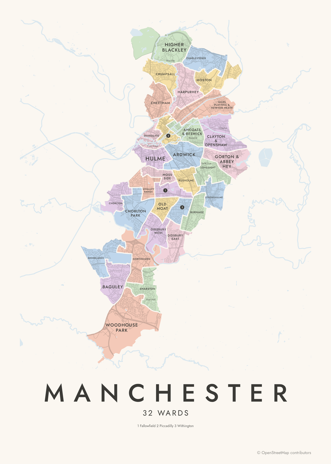
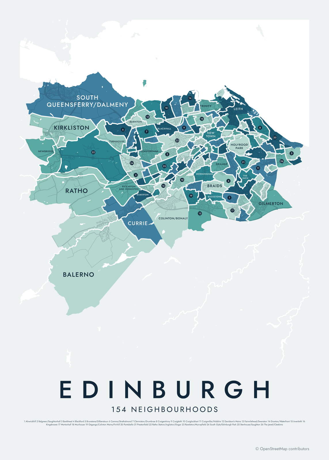
This poster maps Birmingham, England by its 69 council wards, each one named, from Sutton Coldfield in the north to Longbridge in the south. Most wards are named after the neighborhoods they cover, and local names like Digbeth, Kings Heath and the Jewellery Quarter show as smaller labels. Highlight yours and print it.
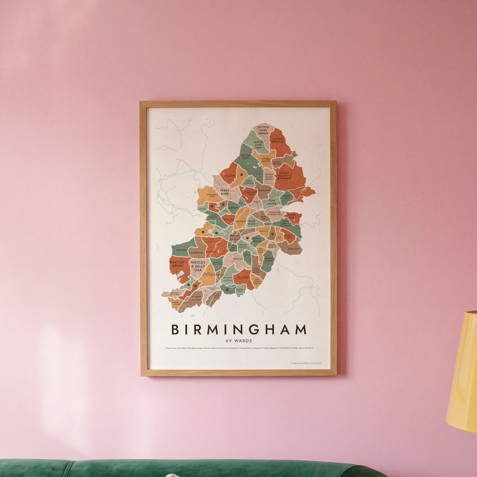
On the wall
A few of them framed at home. Open any one to make it yours.
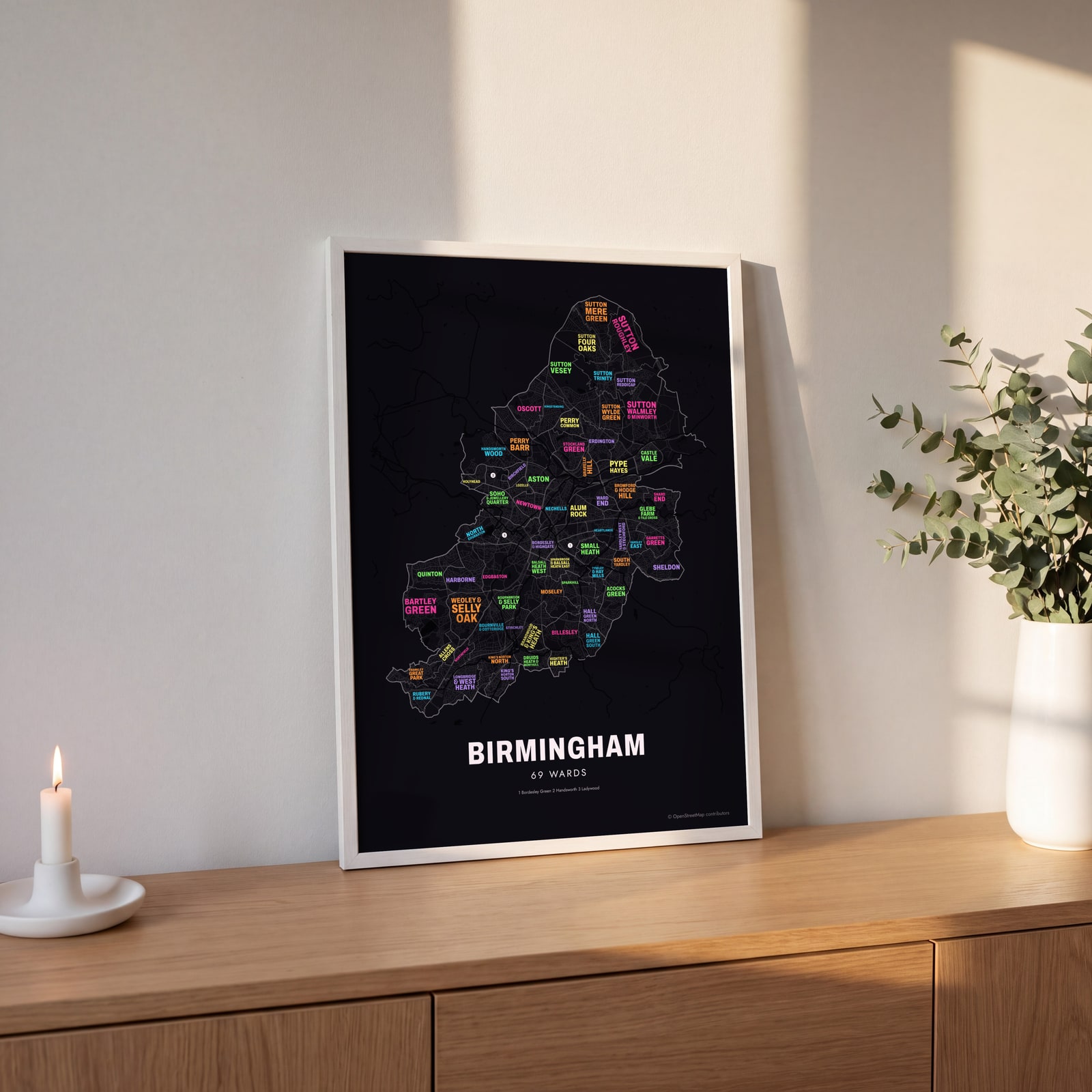 Typographic Birmingham map: the names fill their wardsEdit this →
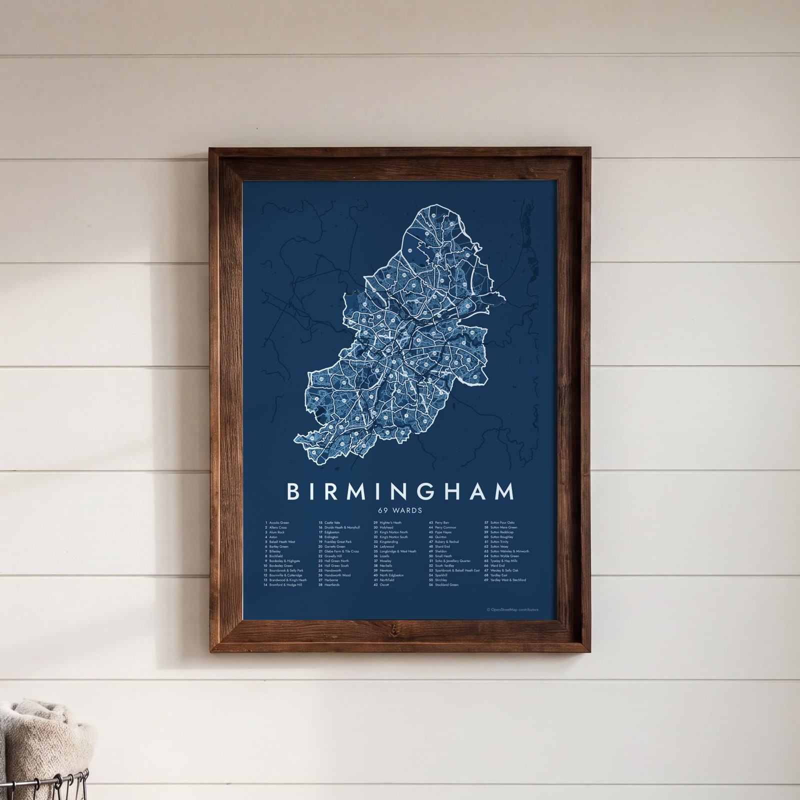 Birmingham street map with numbered wards and their listEdit this →
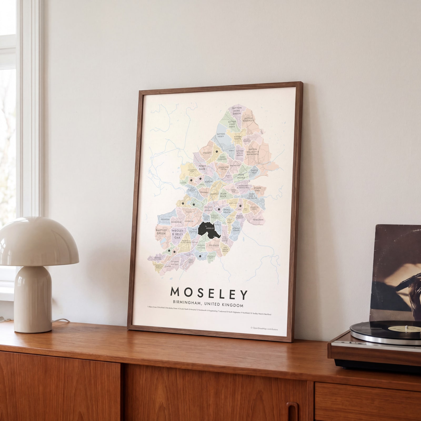 Moseley highlighted on a map of BirminghamEdit this →
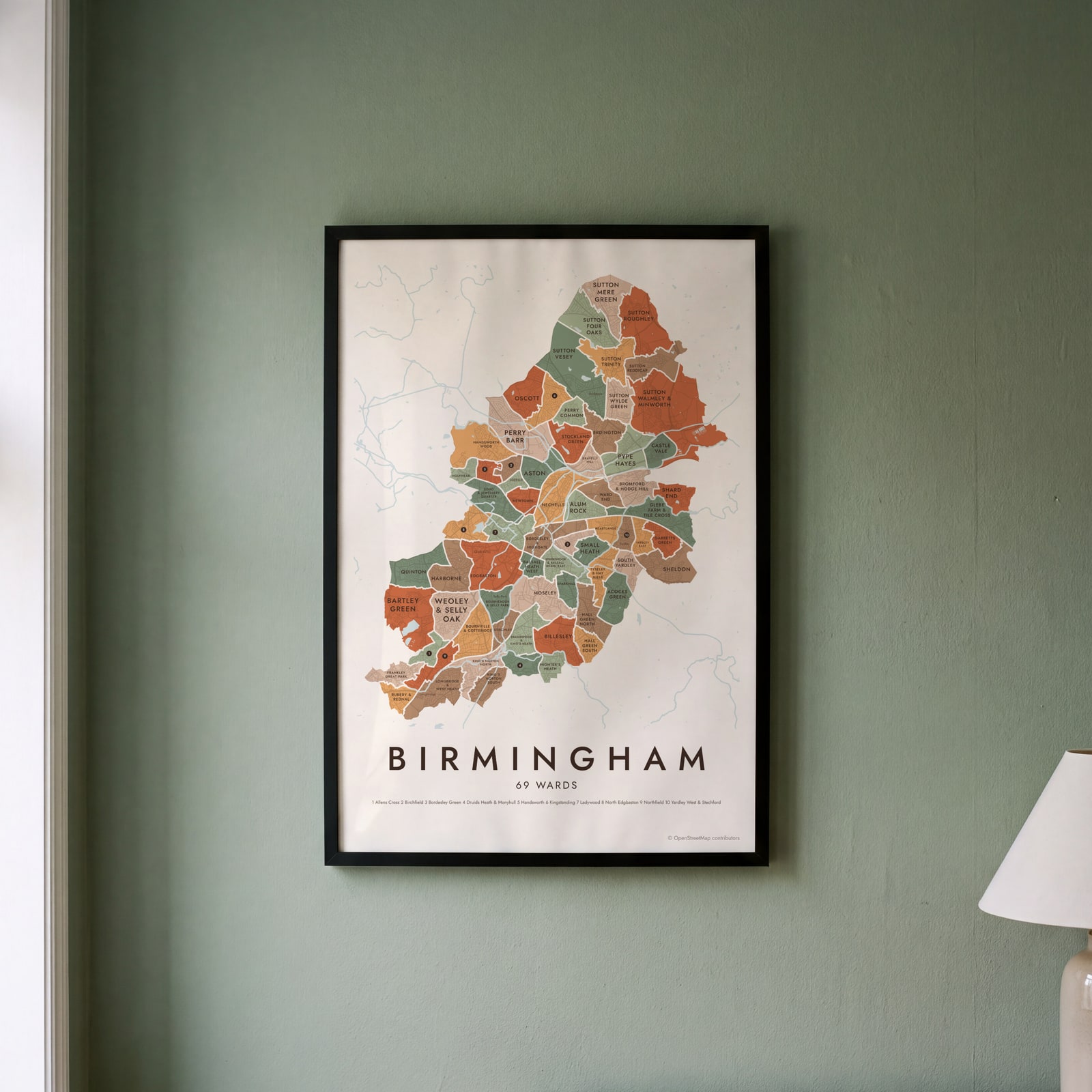 Birmingham neighborhood map in color, every ward namedEdit this →
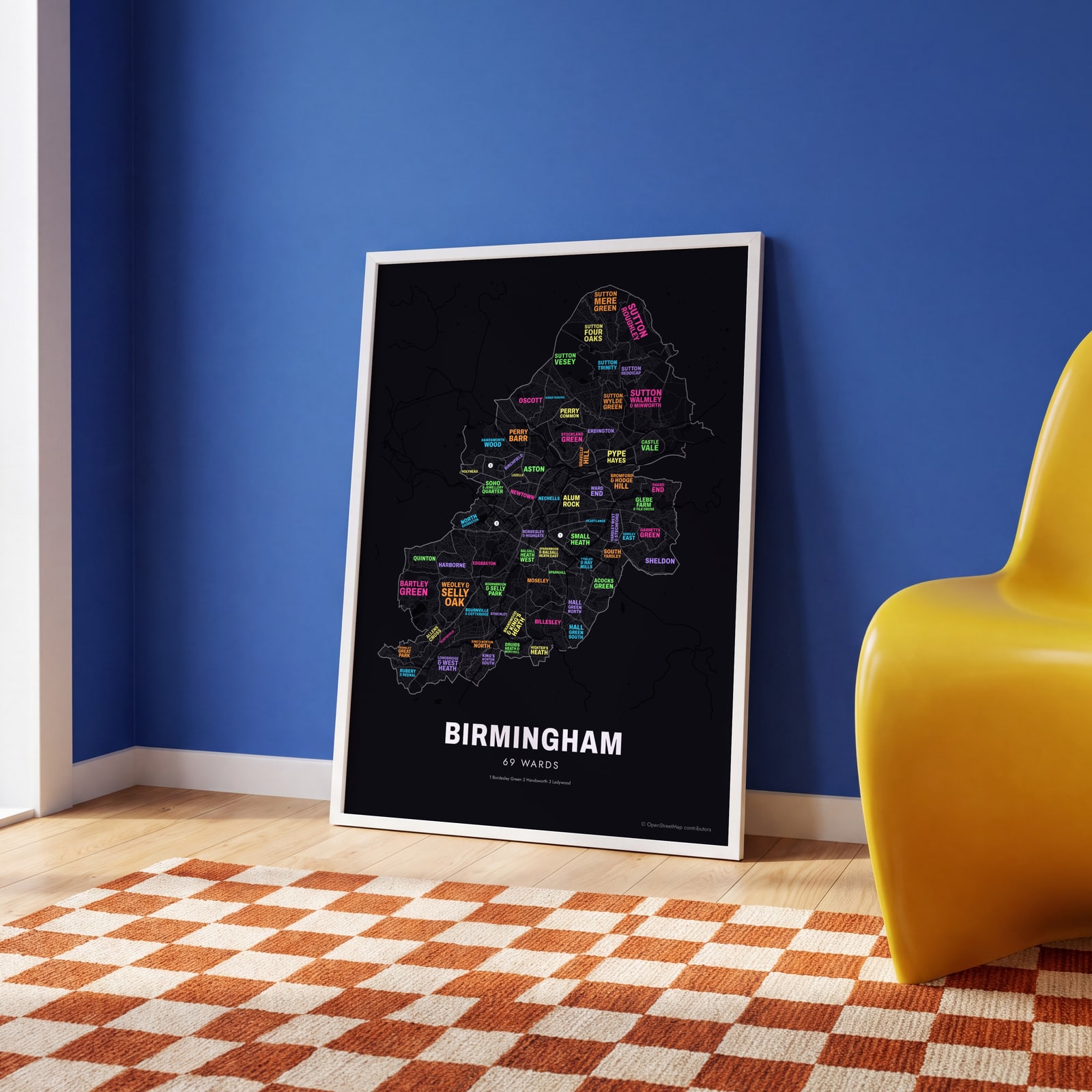 Typographic Birmingham map: the names fill their wardsEdit this →
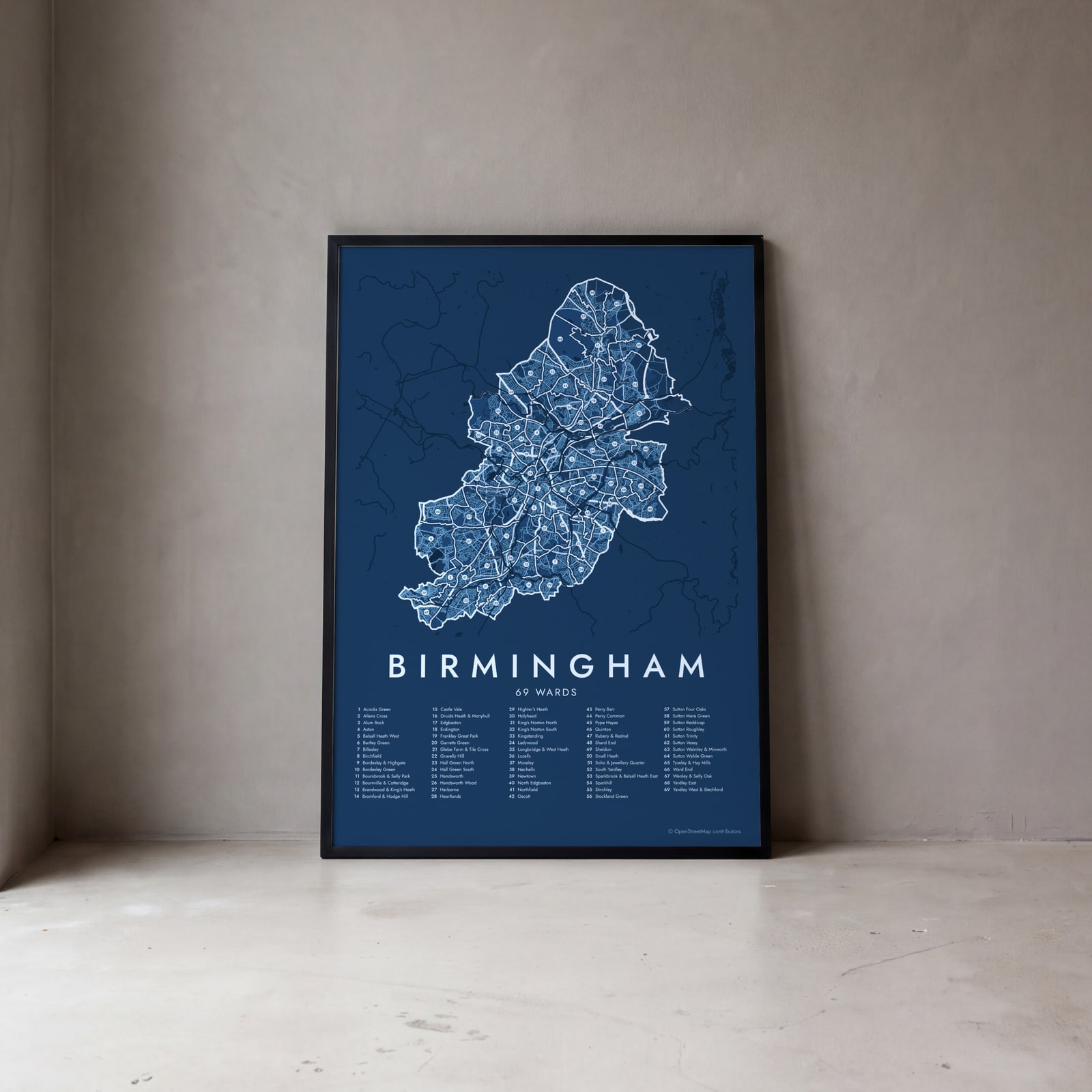 Birmingham street map with numbered wards and their listEdit this →
Examples
Open any of them to change the words, the place, the date and the style, then download the print file.
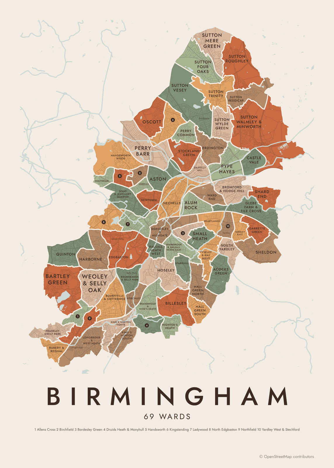 Birmingham neighborhood map in color, every ward namedEdit this →More neighborhood maps →
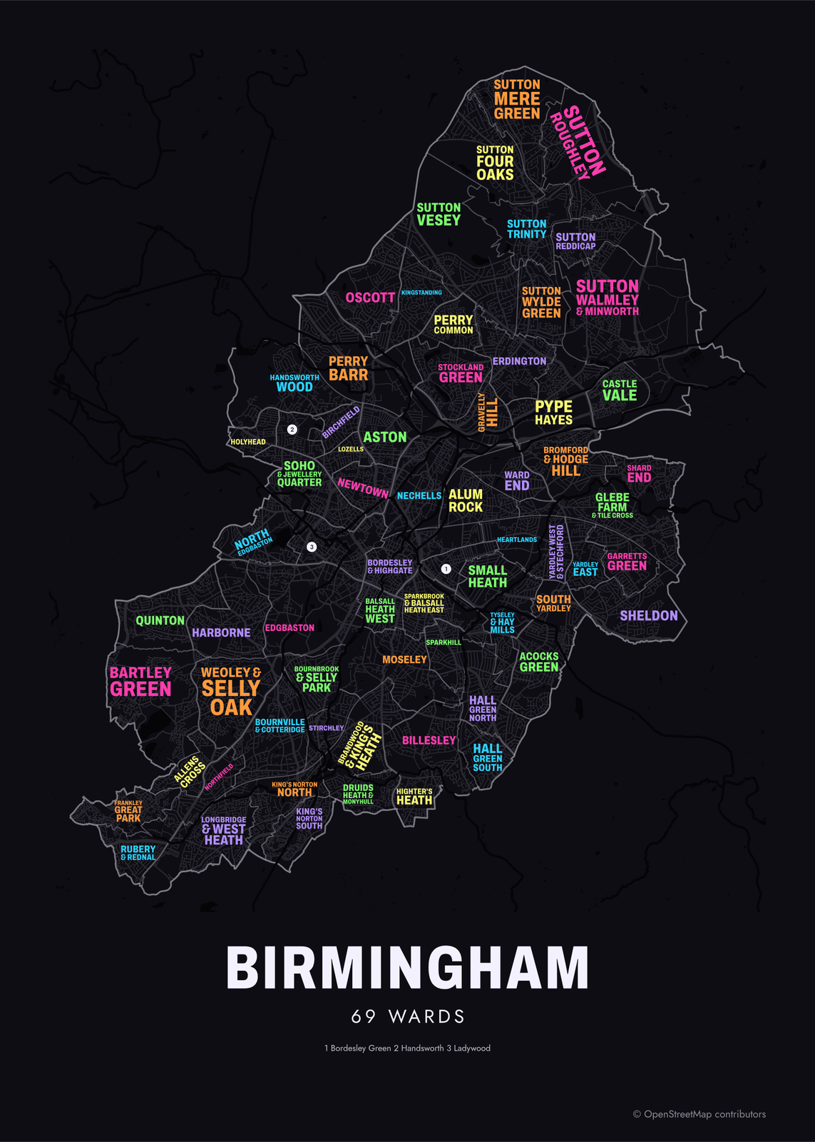 Typographic Birmingham map: the names fill their wardsEdit this →More neighborhood maps →
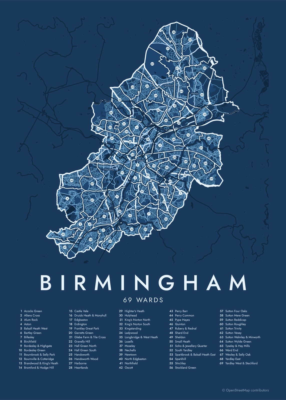 Birmingham street map with numbered wards and their listEdit this →More neighborhood maps →
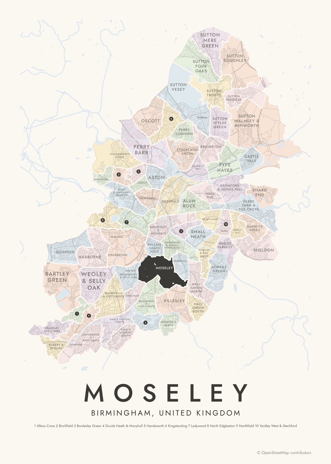 Moseley highlighted on a map of BirminghamEdit this →More neighborhood maps →
How Birmingham is divided
Birmingham has no official list of neighborhoods, so this map uses its electoral wards, the only division that covers the whole city. The current 69 wards were drawn by the Local Government Boundary Commission for England and first used in the 2018 council elections, replacing 40 larger ones. Each elects one or two council members.
Most wards take the name of the neighborhood at their heart, and some join two, like Bournville & Cotteridge or Brandwood & King's Heath. Their edges follow electoral lines, so a well-known area can sit across two wards. The eight wards whose names start with Sutton cover Sutton Coldfield, a town that became part of Birmingham in 1974.
All 69 wards of Birmingham
- Acocks Green
- Allens Cross
- Alum Rock
- Aston
- Balsall Heath West
- Bartley Green
- Billesley
- Birchfield
- Bordesley & Highgate
- Bordesley Green
- Bournbrook & Selly Park
- Bournville & Cotteridge
- Brandwood & King's Heath
- Bromford & Hodge Hill
- Castle Vale
- Druids Heath & Monyhull
- Edgbaston
- Erdington
- Frankley Great Park
- Garretts Green
- Glebe Farm & Tile Cross
- Gravelly Hill
- Hall Green North
- Hall Green South
- Handsworth
- Handsworth Wood
- Harborne
- Heartlands
- Highter's Heath
- Holyhead
- King's Norton North
- King's Norton South
- Kingstanding
- Ladywood
- Longbridge & West Heath
- Lozells
- Moseley
- Nechells
- Newtown
- North Edgbaston
- Northfield
- Oscott
- Perry Barr
- Perry Common
- Pype Hayes
- Quinton
- Rubery & Rednal
- Shard End
- Sheldon
- Small Heath
- Soho & Jewellery Quarter
- South Yardley
- Sparkbrook & Balsall Heath East
- Sparkhill
- Stirchley
- Stockland Green
- Sutton Four Oaks
- Sutton Mere Green
- Sutton Reddicap
- Sutton Roughley
- Sutton Trinity
- Sutton Vesey
- Sutton Walmley & Minworth
- Sutton Wylde Green
- Tyseley & Hay Mills
- Ward End
- Weoley & Selly Oak
- Yardley East
- Yardley West & Stechford
More neighborhood names on the map
Inside the wards, the map also names 44 smaller neighborhoods where they fit, from OpenStreetMap: Longbridge, California, Shenley Fields, Weoley Castle, West Heath, Selly Oak, Winson Green, Bournville, Bournbrook, Cotteridge, Kings Norton, Hockley Port, Hamstead, Walkers Heath, Selly Park, Perry Beeches, Jewellery Quarter, Queslett, Druids Heath, Kings Heath, Digbeth, Vauxhall, Bordesley, Warstock, New Oscott, Springfield, Short Heath, Boldmere, Wylde Green, Yardley, Hodge Hill, Stechford, Walmley, Lyndon Green, Buckland End, Rea Valley, Masefield, Chad Valley, Tower Hill, Attwood Green and more. Turn them off under Names if you want only the wards.
Neighborhoods to know
- Jewellery Quarter: Georgian and Victorian workshops around St Paul's Square, many still used by jewelers.
- Digbeth: the old industrial quarter just east of the center, home of the Custard Factory.
- Bournville: a model village built by the Cadbury family around their chocolate factory.
- Edgbaston: the Edgbaston cricket ground and the Birmingham Botanical Gardens.
- Aston: Villa Park, home of Aston Villa, and the Jacobean mansion Aston Hall.
- Longbridge: where Austin began building cars in 1905.
- Castle Vale: a housing estate built in the 1960s on the old Castle Bromwich airfield.
How to make your Birmingham neighborhood poster
- Open the Birmingham map.
- Pick a style: Colored areas, Typographic (the names fill the map) or a Street map with the borders over the streets.
- Tap your own neighborhood to highlight it; it becomes the poster's title.
- Drag and zoom to frame the whole city or just your part of it, then pick a size and download the print file.
Questions
How many wards does Birmingham have?
69. They were first used in 2018, replacing 40 larger wards, and each elects one or two council members. Together they cover the whole city, including Sutton Coldfield.
Is this Birmingham, England or Birmingham, Alabama?
This page is about Birmingham in England's West Midlands. The map shows the city council's 69 wards.
Is Sutton Coldfield part of Birmingham?
Yes. Sutton Coldfield joined Birmingham in 1974 and makes up the northeast of the city. On this map it is the eight wards whose names start with Sutton, from Sutton Four Oaks to Sutton Wylde Green.
Where do the Birmingham boundaries come from?
From OpenStreetMap (© OpenStreetMap contributors) and Office for National Statistics, OGL v3.0; contains OS data © Crown copyright and database right 2024. Streets and water are OpenStreetMap's. Boundaries are a snapshot and can differ from what neighbors call home; tell us if one looks wrong.
What sizes can I print?
US Letter, 8 × 10, 11 × 14, 12 × 16 and 12 × 18 in, A4 and A3, free. You download a 300 DPI JPEG drawn at the size you pick. Larger prints, up to 24 × 36 in, are coming soon.
Related

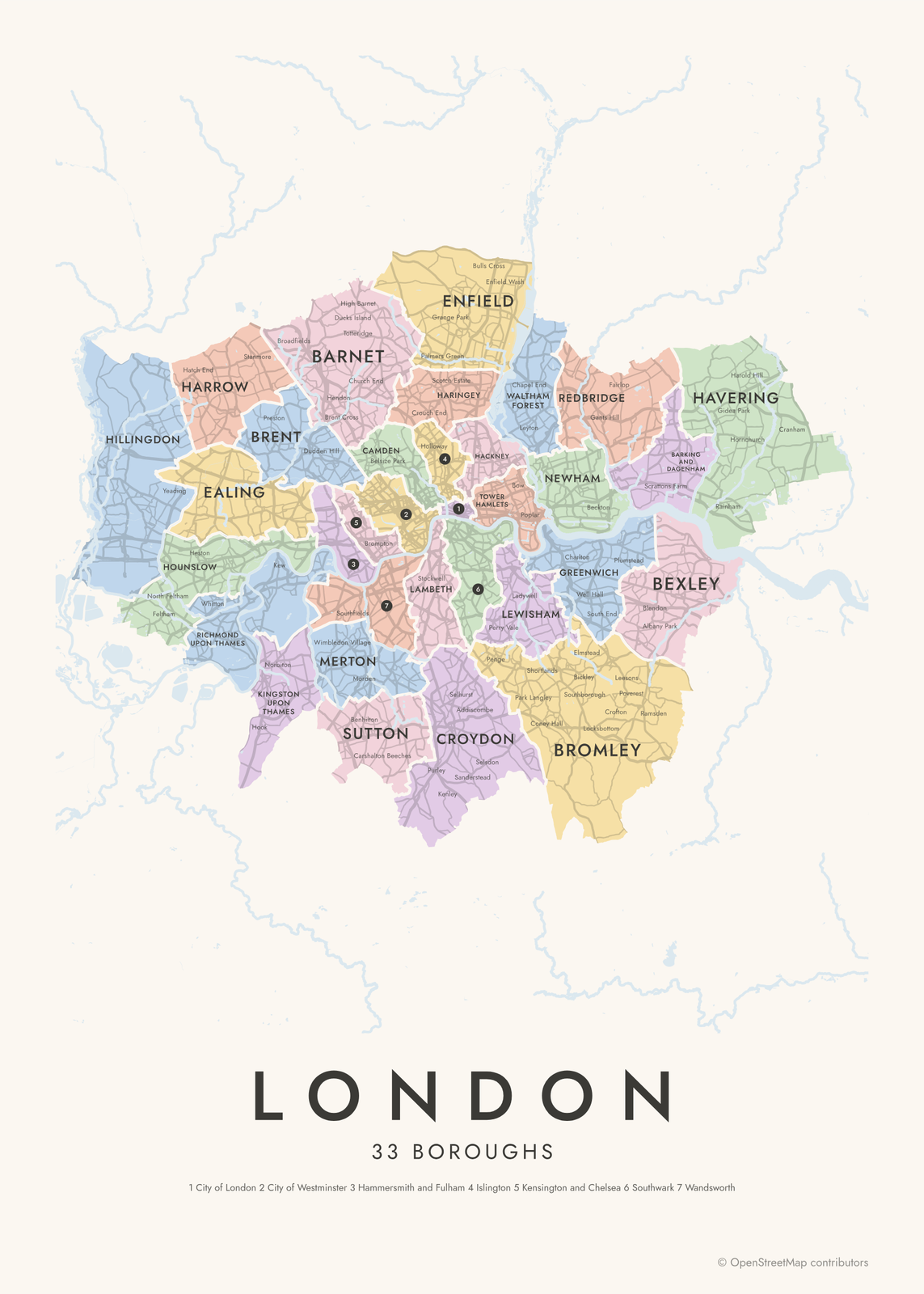
Gift ideas by occasion




Every example is made with the Posterage generators. Change anything, then download it as a 300 DPI JPEG.