Edinburgh neighborhood map all 154 Natural Neighbourhoods, named
This poster maps Edinburgh as its 154 Natural Neighbourhoods, the areas the city council drew with residents, each one named. It runs from South Queensferry and Kirkliston in the west to Portobello and Joppa on the coast. Highlight the neighborhood you live in and print it.
On the wall
A few of them framed at home. Open any one to make it yours.
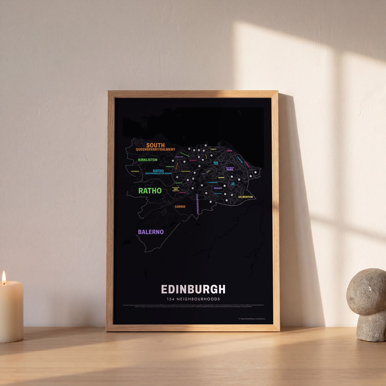 Typographic Edinburgh map: the names fill their neighbourhoodsEdit this →
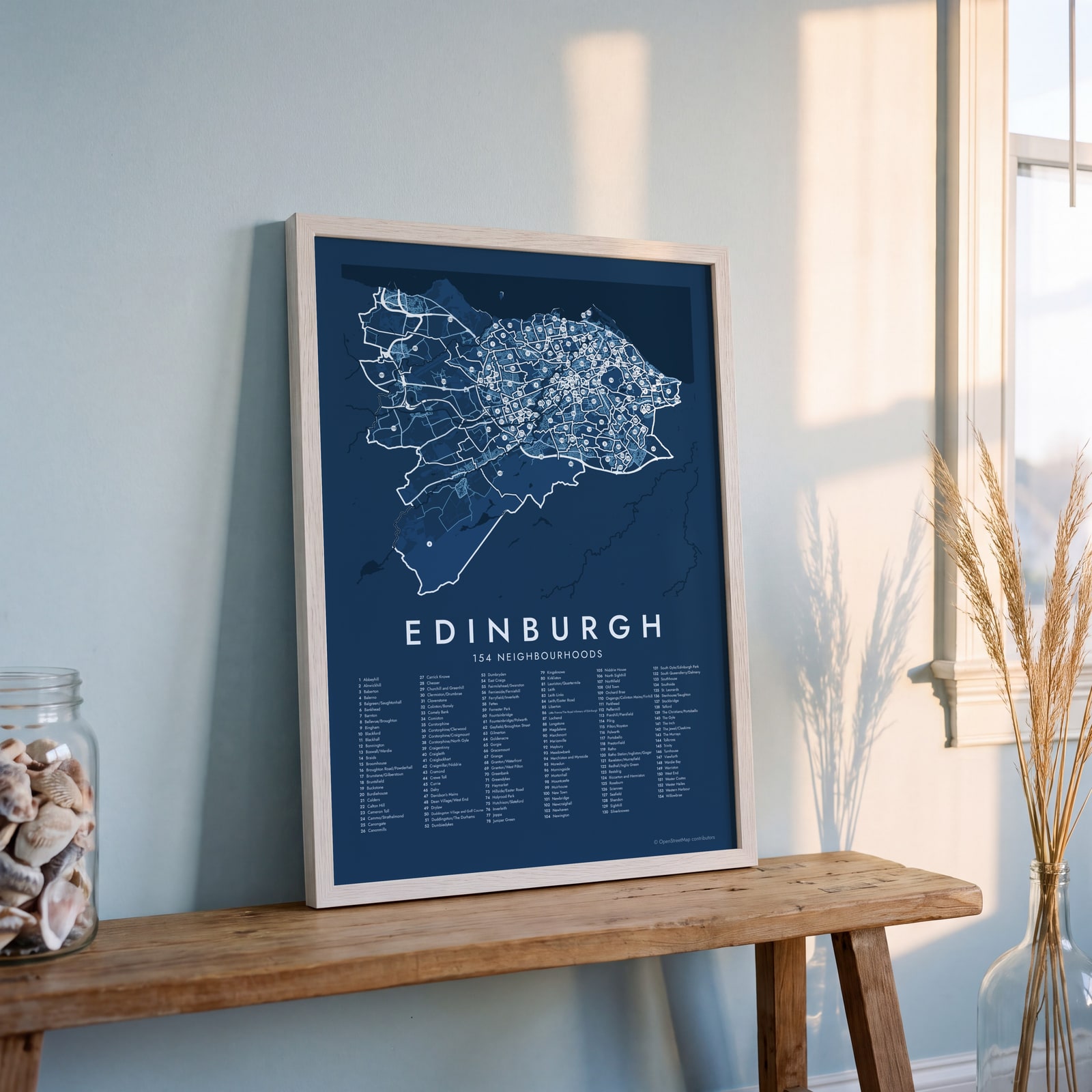 Edinburgh street map with numbered neighbourhoods and their listEdit this →
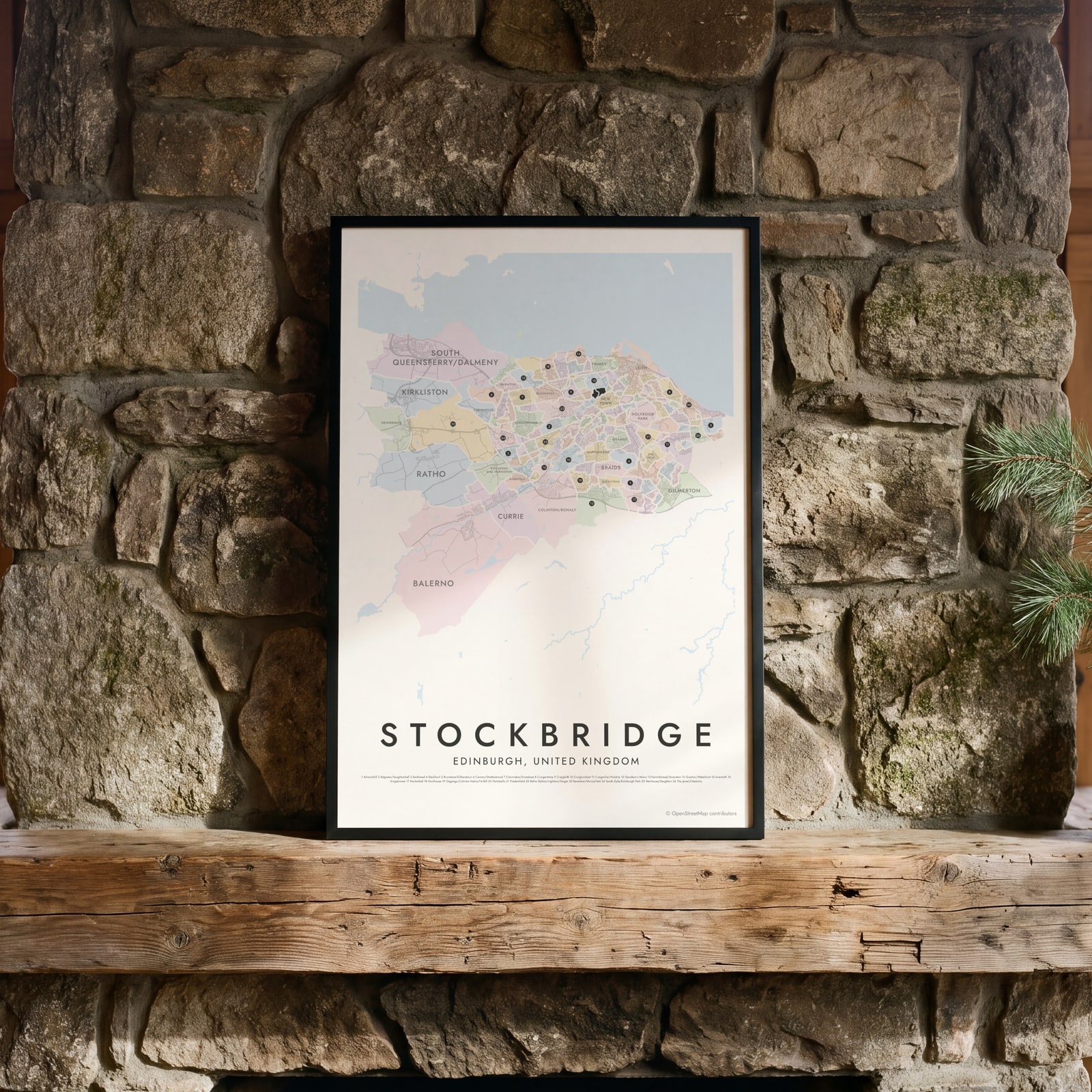 Stockbridge highlighted on a map of EdinburghEdit this →
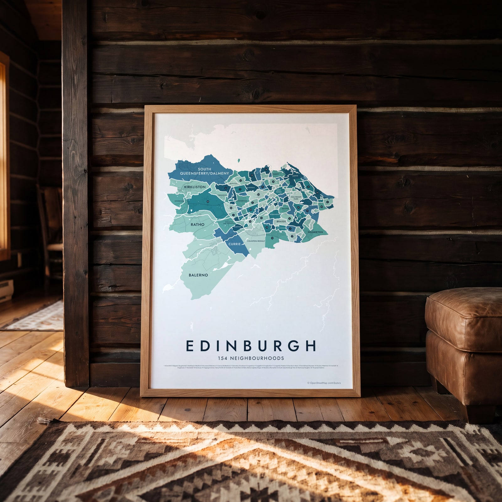
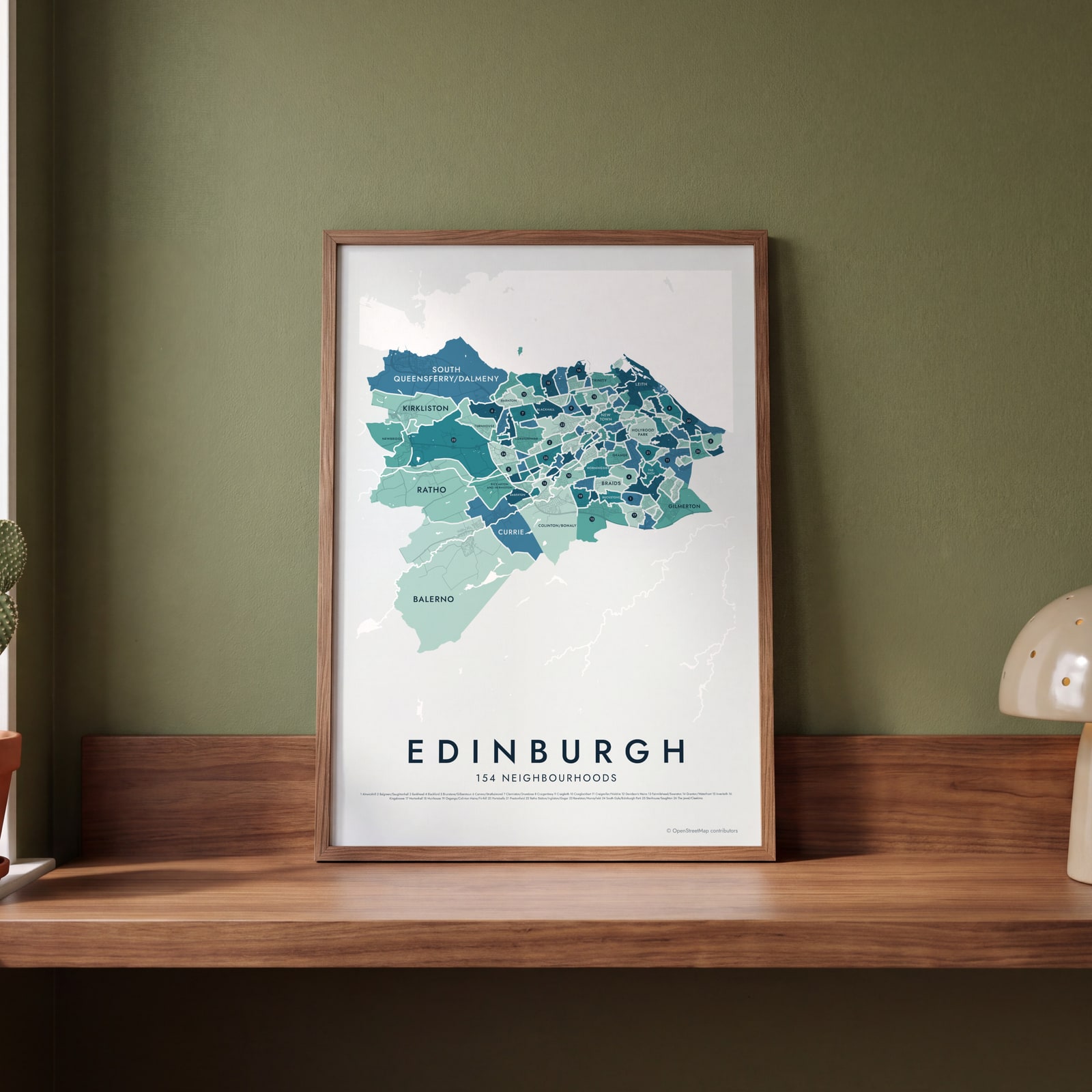 Edinburgh neighborhood map in color, every neighbourhood namedEdit this →
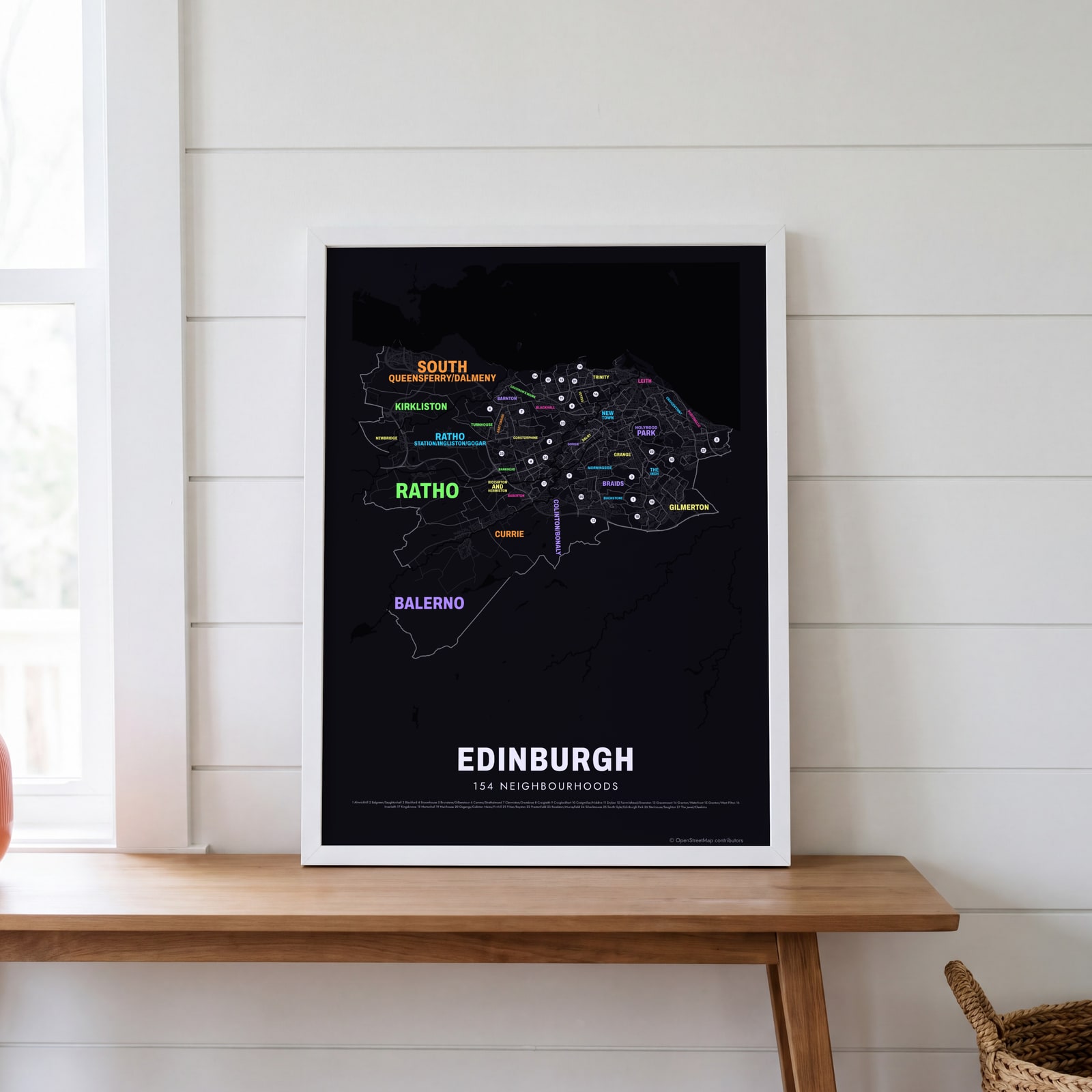 Typographic Edinburgh map: the names fill their neighbourhoodsEdit this →
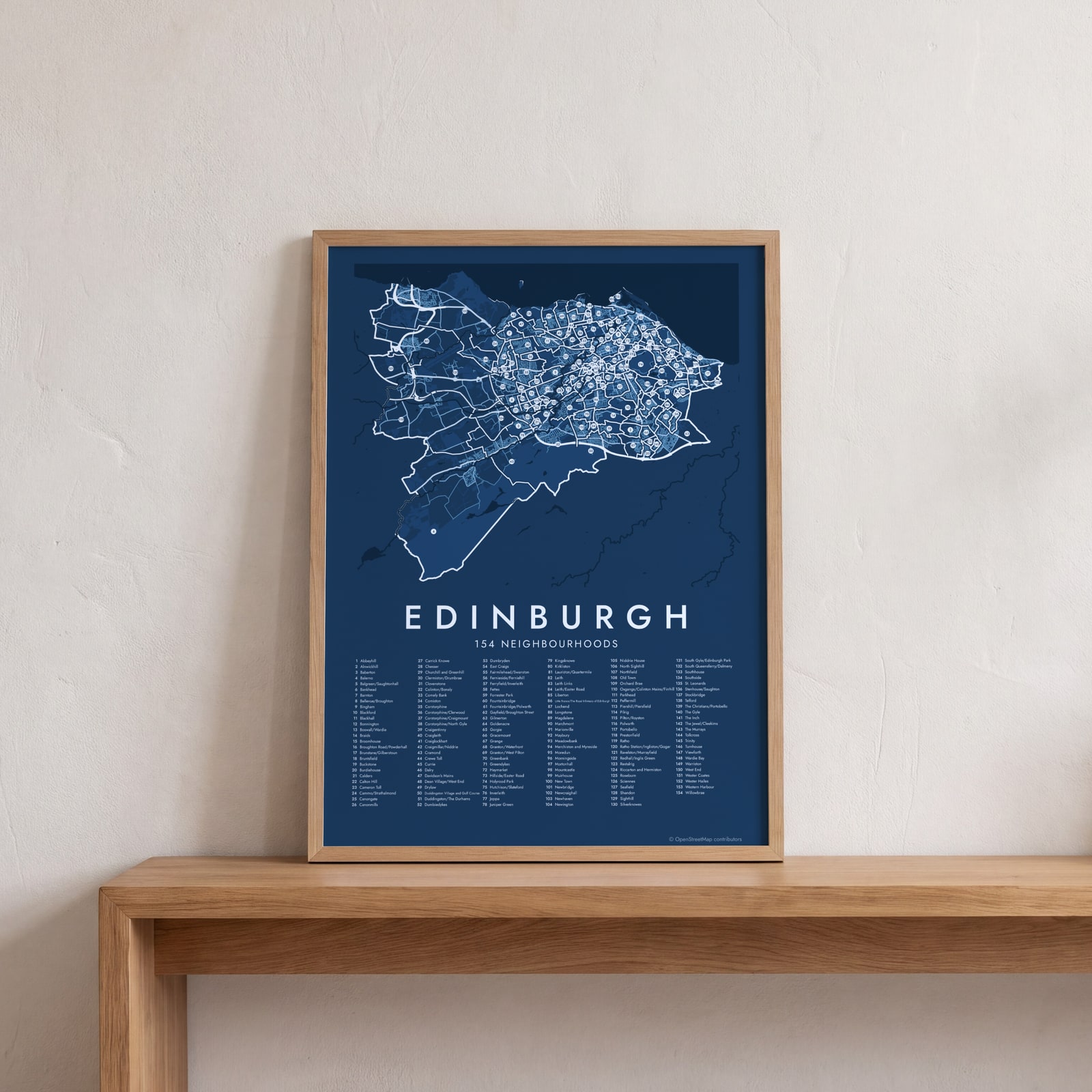 Edinburgh street map with numbered neighbourhoods and their listEdit this →
Examples
Open any of them to change the words, the place, the date and the style, then download the print file.
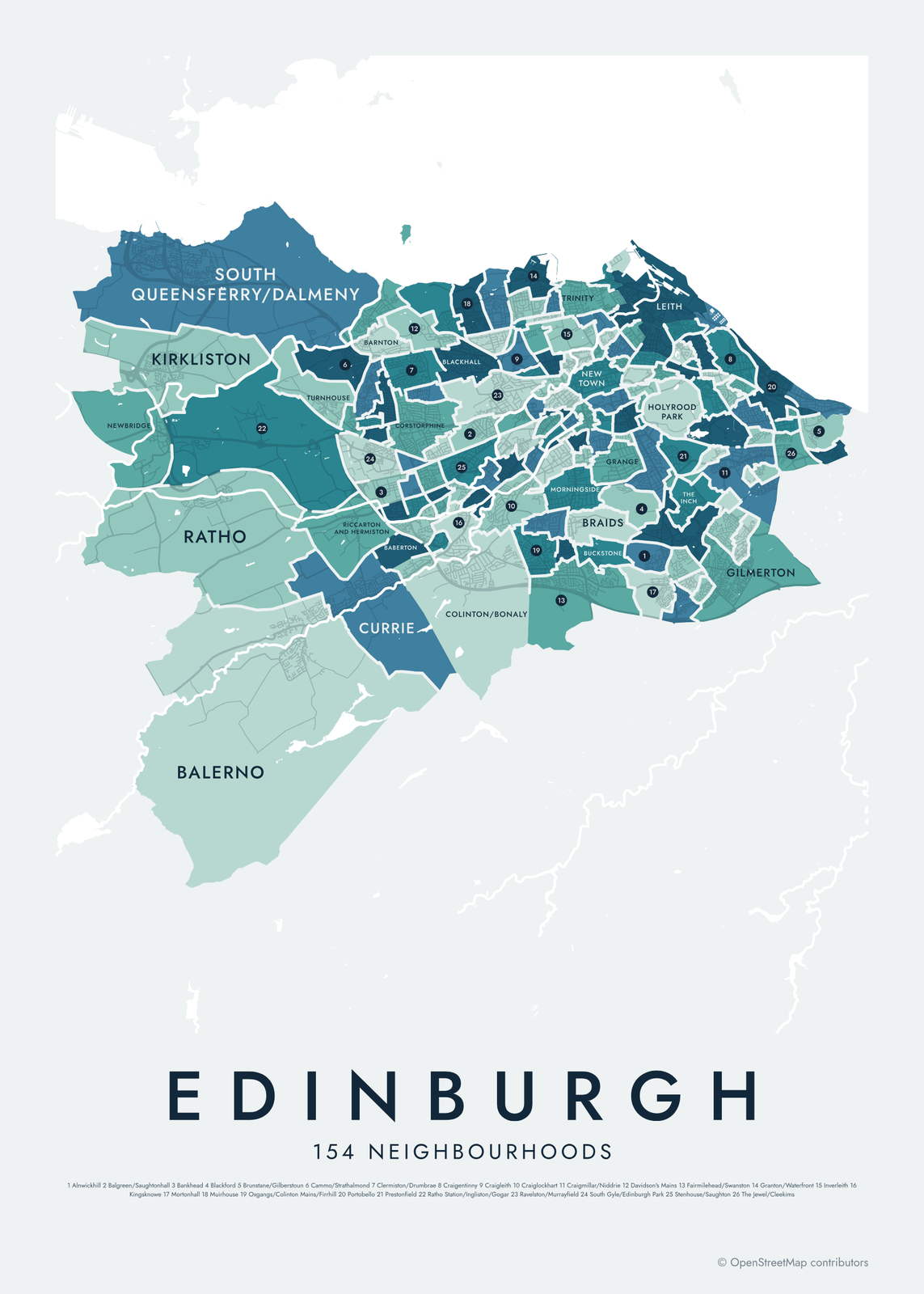 Edinburgh neighborhood map in color, every neighbourhood namedEdit this →More neighborhood maps →
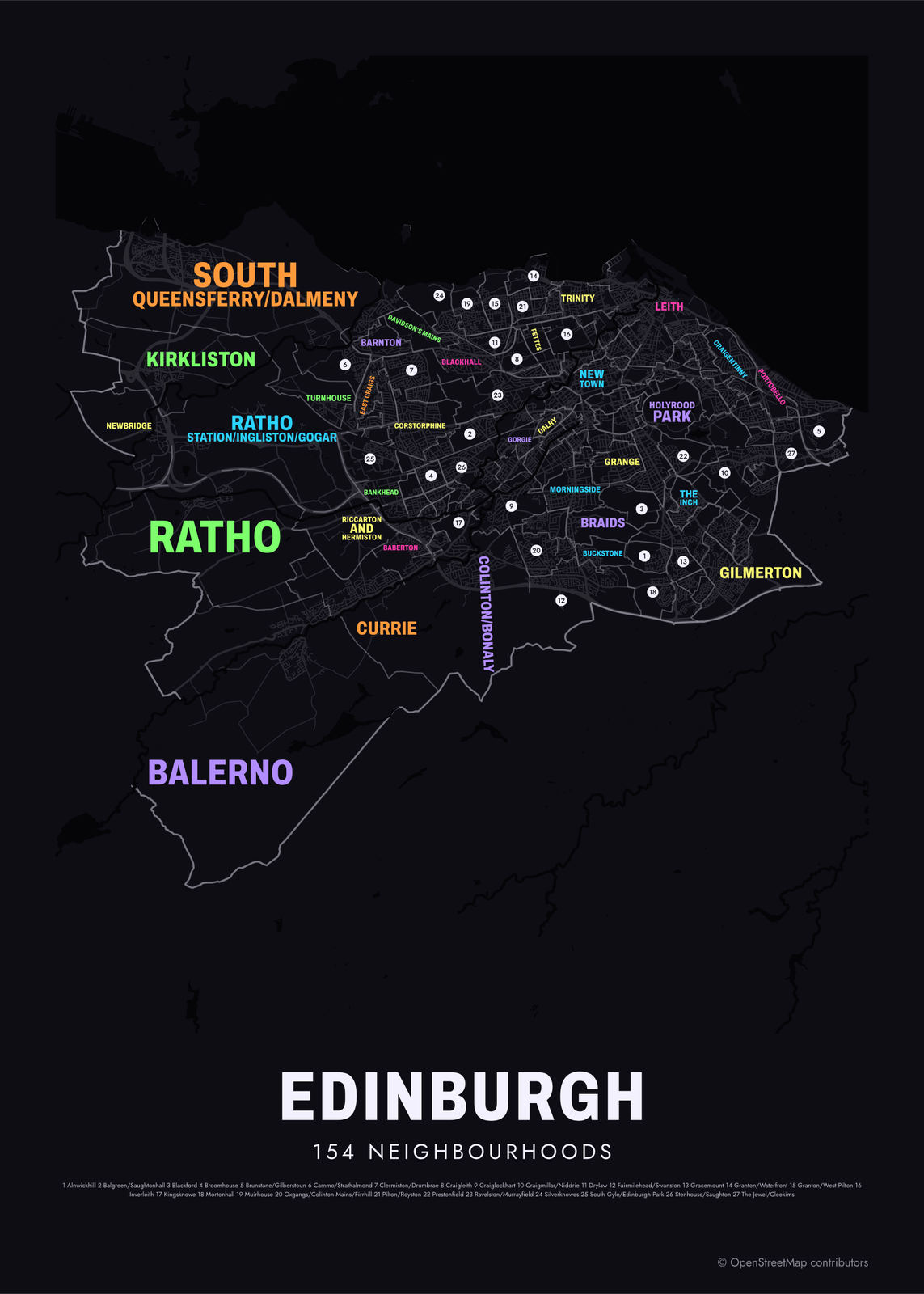 Typographic Edinburgh map: the names fill their neighbourhoodsEdit this →More neighborhood maps →
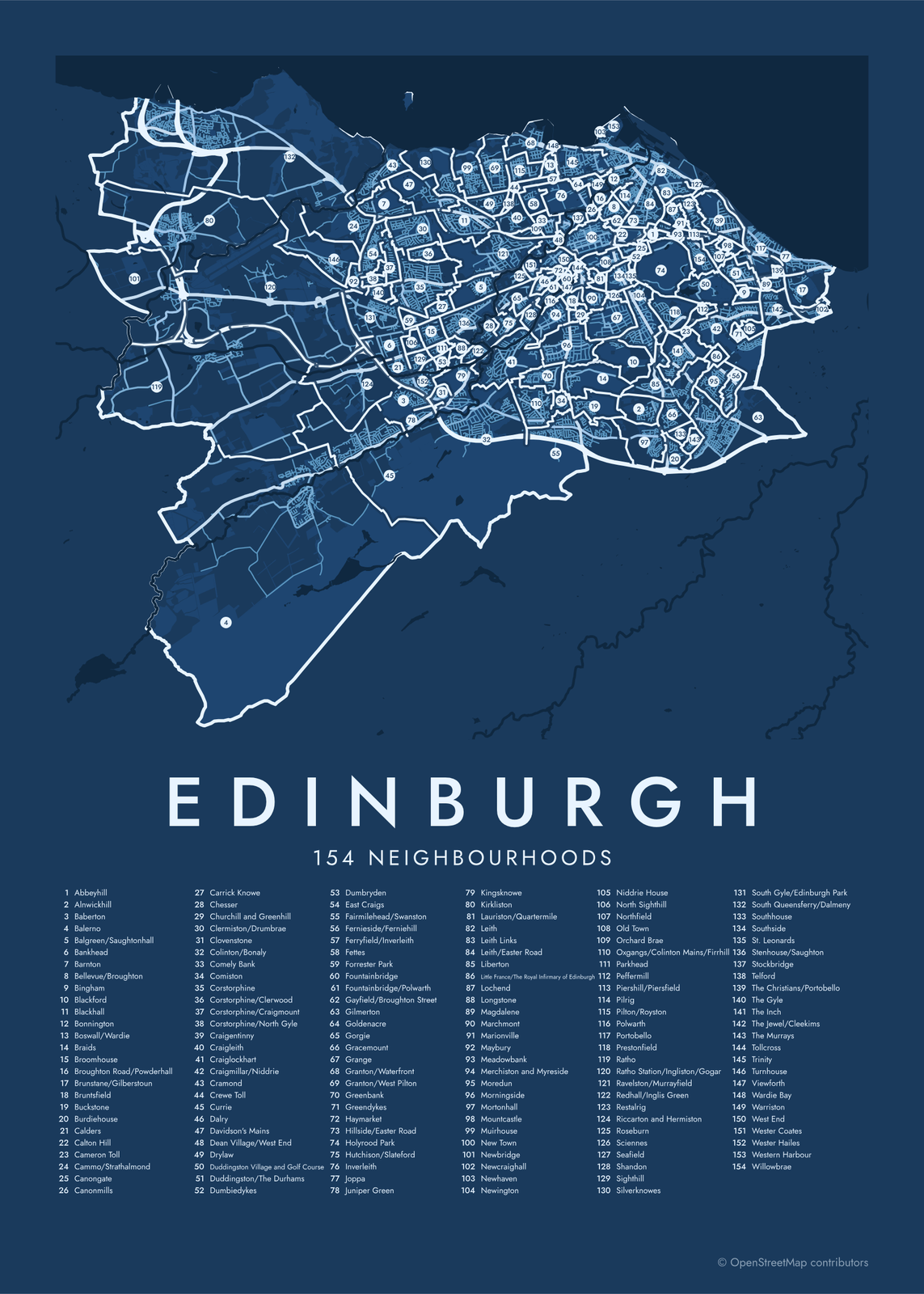 Edinburgh street map with numbered neighbourhoods and their listEdit this →More neighborhood maps →
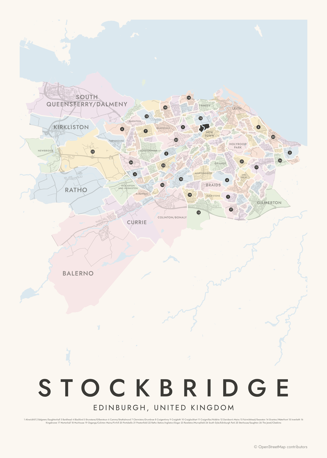 Stockbridge highlighted on a map of EdinburghEdit this →More neighborhood maps →
How Edinburgh is divided
Edinburgh's Natural Neighbourhoods are the council's map of where people feel they live, rather than electoral wards or school catchments. A first set was drawn in 2004, and the current 154 come from a 2014 public consultation that asked residents which neighborhood they lived in. The council uses them to plan services and report data.
Many are single, familiar names: Leith, Stockbridge, Morningside, Portobello. Others pair two places that share a border, like Pilton/Royston or Balgreen/Saughtonhall. A few are parks or open land, such as Holyrood Park around Arthur's Seat. The council's electoral wards are much larger, so these are the closer match to what locals call a neighborhood.
All 154 neighbourhoods of Edinburgh
- Abbeyhill
- Alnwickhill
- Baberton
- Balerno
- Balgreen/Saughtonhall
- Bankhead
- Barnton
- Bellevue/Broughton
- Bingham
- Blackford
- Blackhall
- Bonnington
- Boswall/Wardie
- Braids
- Broomhouse
- Broughton Road/Powderhall
- Brunstane/Gilberstoun
- Bruntsfield
- Buckstone
- Burdiehouse
- Calders
- Calton Hill
- Cameron Toll
- Cammo/Strathalmond
- Canongate
- Canonmills
- Carrick Knowe
- Chesser
- Churchill and Greenhill
- Clermiston/Drumbrae
- Clovenstone
- Colinton/Bonaly
- Comely Bank
- Comiston
- Corstorphine
- Corstorphine/Clerwood
- Corstorphine/Craigmount
- Corstorphine/North Gyle
- Craigentinny
- Craigleith
- Craiglockhart
- Craigmillar/Niddrie
- Cramond
- Crewe Toll
- Currie
- Dalry
- Davidson's Mains
- Dean Village/West End
- Drylaw
- Duddingston Village and Golf Course
- Duddingston/The Durhams
- Dumbiedykes
- Dumbryden
- East Craigs
- Fairmilehead/Swanston
- Fernieside/Ferniehill
- Ferryfield/Inverleith
- Fettes
- Forrester Park
- Fountainbridge
- Fountainbridge/Polwarth
- Gayfield/Broughton Street
- Gilmerton
- Goldenacre
- Gorgie
- Gracemount
- Grange
- Granton/Waterfront
- Granton/West Pilton
- Greenbank
- Greendykes
- Haymarket
- Hillside/Easter Road
- Holyrood Park
- Hutchison/Slateford
- Inverleith
- Joppa
- Juniper Green
- Kingsknowe
- Kirkliston
- Lauriston/Quartermile
- Leith
- Leith Links
- Leith/Easter Road
- Liberton
- Little France/The Royal Infirmary of Edinburgh
- Lochend
- Longstone
- Magdalene
- Marchmont
- Marionville
- Maybury
- Meadowbank
- Merchiston and Myreside
- Moredun
- Morningside
- Mortonhall
- Mountcastle
- Muirhouse
- New Town
- Newbridge
- Newcraighall
- Newhaven
- Newington
- Niddrie House
- North Sighthill
- Northfield
- Old Town
- Orchard Brae
- Oxgangs/Colinton Mains/Firrhill
- Parkhead
- Peffermill
- Piershill/Piersfield
- Pilrig
- Pilton/Royston
- Polwarth
- Portobello
- Prestonfield
- Ratho
- Ratho Station/Ingliston/Gogar
- Ravelston/Murrayfield
- Redhall/Inglis Green
- Restalrig
- Riccarton and Hermiston
- Roseburn
- Sciennes
- Seafield
- Shandon
- Sighthill
- Silverknowes
- South Gyle/Edinburgh Park
- South Queensferry/Dalmeny
- Southhouse
- Southside
- St. Leonards
- Stenhouse/Saughton
- Stockbridge
- Telford
- The Christians/Portobello
- The Gyle
- The Inch
- The Jewel/Cleekims
- The Murrays
- Tollcross
- Trinity
- Turnhouse
- Viewforth
- Wardie Bay
- Warriston
- West End
- Wester Coates
- Wester Hailes
- Western Harbour
- Willowbrae
Neighborhoods to know
- Old Town: the medieval heart of the city, along the Royal Mile below Edinburgh Castle.
- New Town: Georgian streets and squares laid out from the 1760s, part of a UNESCO World Heritage Site with the Old Town.
- Leith: Edinburgh's port on the Firth of Forth, a separate burgh until 1920.
- Stockbridge: a former village on the Water of Leith, just north of the New Town.
- Dean Village/West End: an old milling village in a gorge of the Water of Leith.
- Portobello: a seaside suburb with a sandy beach and a long promenade.
- Holyrood Park: Arthur's Seat and Salisbury Crags, in a royal park beside the Palace of Holyroodhouse.
- South Queensferry/Dalmeny: the town below the Forth Bridge, the red rail bridge opened in 1890.
How to make your Edinburgh neighborhood poster
- Open the Edinburgh map.
- Pick a style: Colored areas, Typographic (the names fill the map) or a Street map with the borders over the streets.
- Tap your own neighborhood to highlight it; it becomes the poster's title.
- Drag and zoom to frame the whole city or just your part of it, then pick a size and download the print file.
Questions
How many neighborhoods does Edinburgh have?
There's no single count, but the city council's Natural Neighbourhoods give 154, and that's what this map shows. They were drawn with residents in 2014 to match the places people say they live.
Is Leith part of Edinburgh?
Yes. Leith was a separate burgh with its own town council until 1920, when it merged with Edinburgh. On this map it splits into several neighborhoods, including Leith, Leith Links and Leith/Easter Road.
What's the difference between the Old Town and the New Town?
The Old Town is the medieval city along the Royal Mile, between the Castle and Holyrood. The New Town was built to the north from the 1760s, with straight Georgian streets and gardens. Both are neighborhoods on this map, and together they form a UNESCO World Heritage Site.
Where do the Edinburgh boundaries come from?
From OpenStreetMap (© OpenStreetMap contributors) and City of Edinburgh Council; contains Ordnance Survey data © Crown copyright and database right. Streets and water are OpenStreetMap's. Boundaries are a snapshot and can differ from what neighbors call home; tell us if one looks wrong.
What sizes can I print?
US Letter, 8 × 10, 11 × 14, 12 × 16 and 12 × 18 in, A4 and A3, free. You download a 300 DPI JPEG drawn at the size you pick. Larger prints, up to 24 × 36 in, are coming soon.
Related

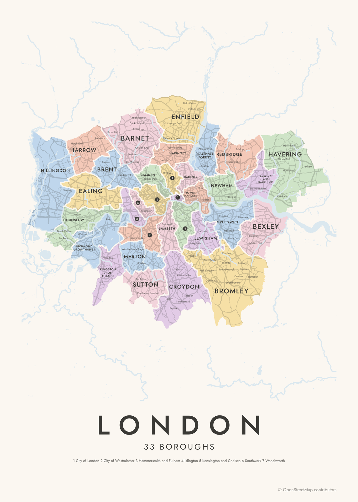
Gift ideas by occasion




Every example is made with the Posterage generators. Change anything, then download it as a 300 DPI JPEG.