Cincinnati neighborhood map 50 neighborhood areas, all named
This poster maps Cincinnati split into 50 neighborhood areas, each one named, from Over-the-Rhine and Mount Adams to Westwood and Hyde Park. The city counts 52 neighborhoods, and a few of them share an area here. Highlight the one you call home and print it.
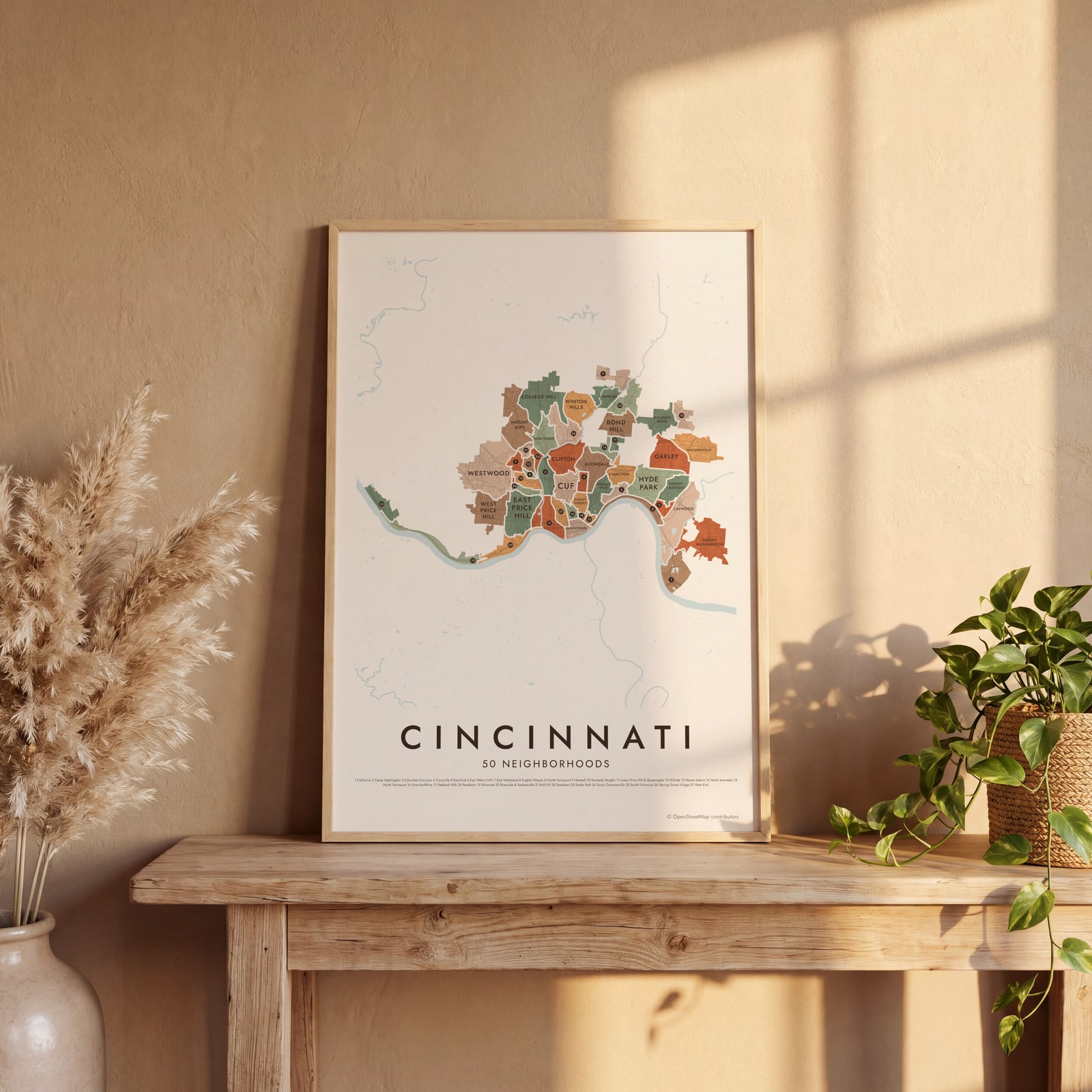
On the wall
A few of them framed at home. Open any one to make it yours.
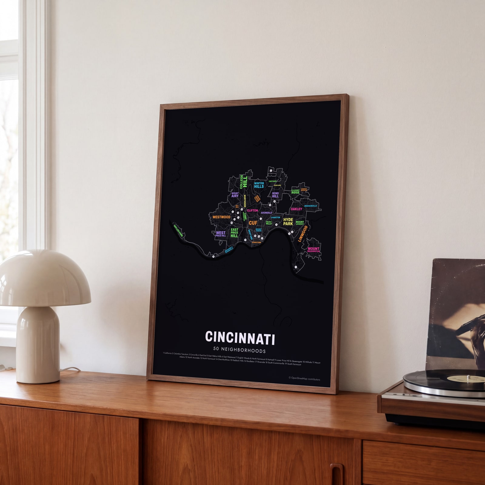 Typographic Cincinnati map: the names fill their neighborhoodsEdit this →
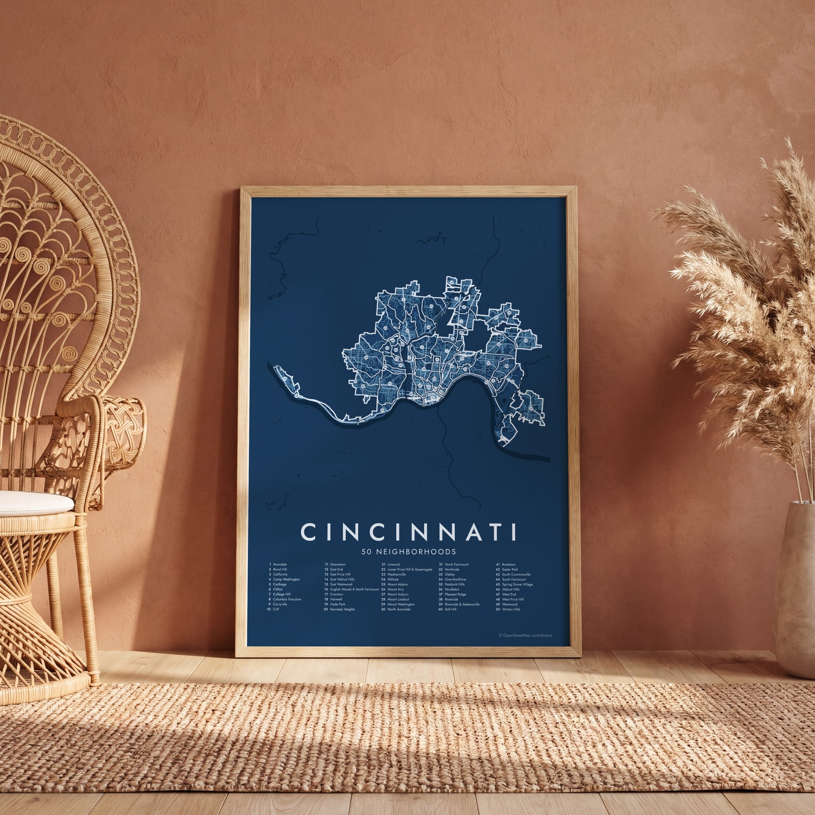 Cincinnati street map with numbered neighborhoods and their listEdit this →
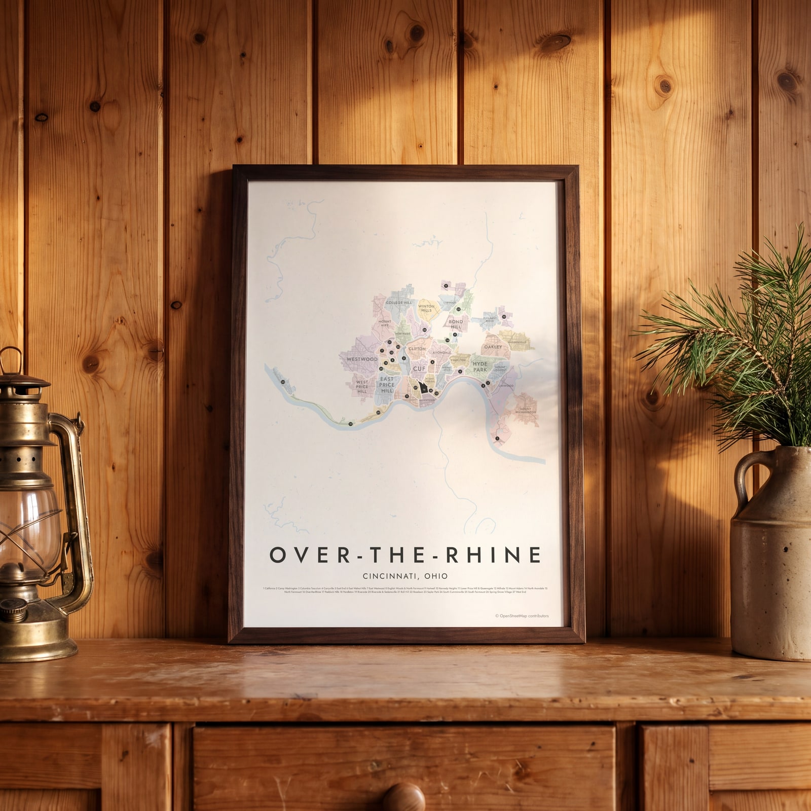 Over-the-Rhine highlighted on a map of CincinnatiEdit this →
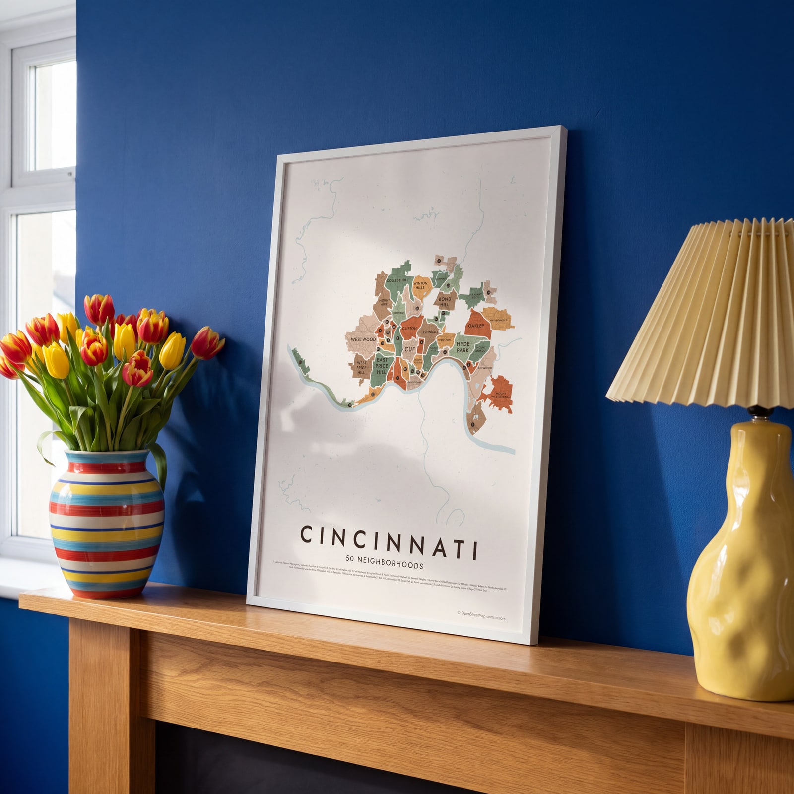 Cincinnati neighborhood map in color, every neighborhood namedEdit this →
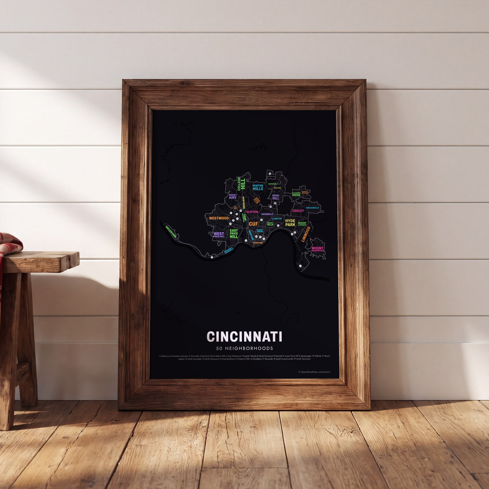 Typographic Cincinnati map: the names fill their neighborhoodsEdit this →
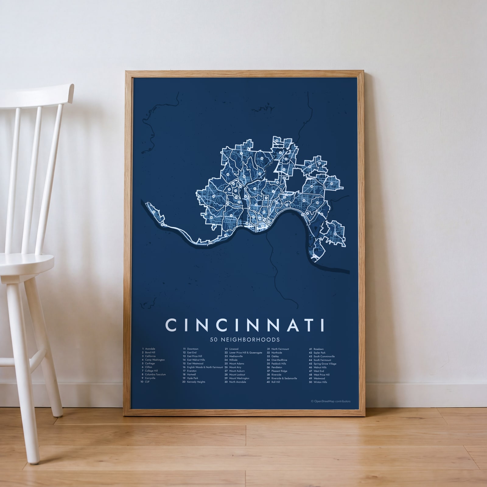 Cincinnati street map with numbered neighborhoods and their listEdit this →
Examples
Open any of them to change the words, the place, the date and the style, then download the print file.
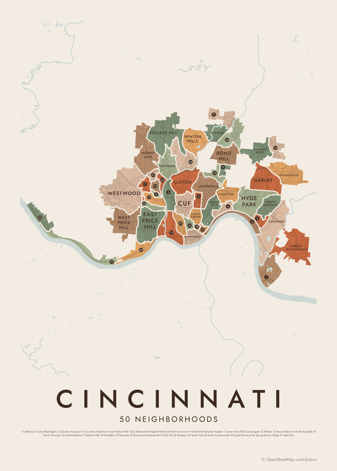 Cincinnati neighborhood map in color, every neighborhood namedEdit this →More neighborhood maps →
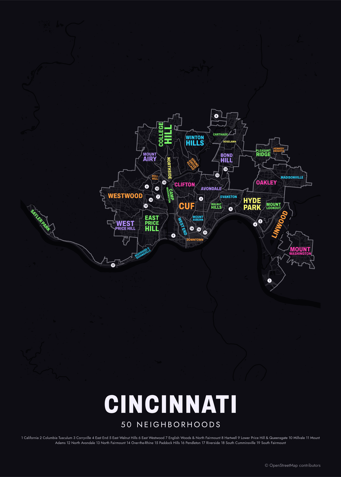 Typographic Cincinnati map: the names fill their neighborhoodsEdit this →More neighborhood maps →
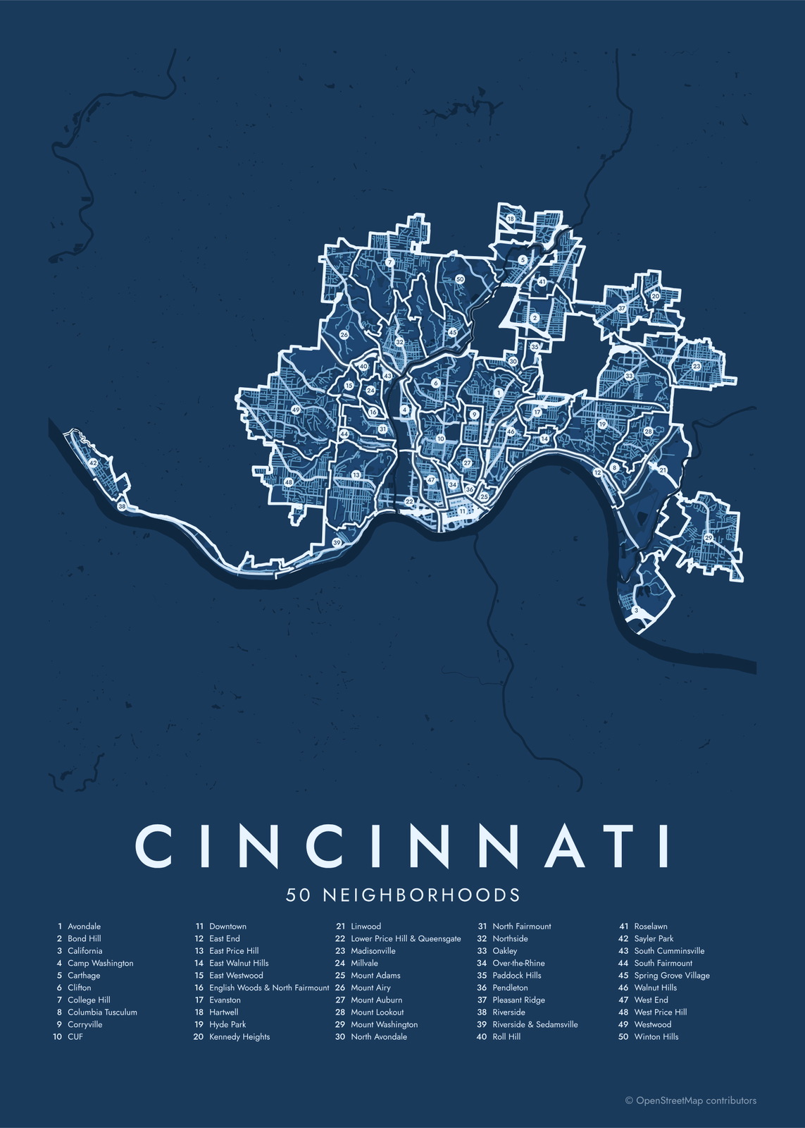 Cincinnati street map with numbered neighborhoods and their listEdit this →More neighborhood maps →
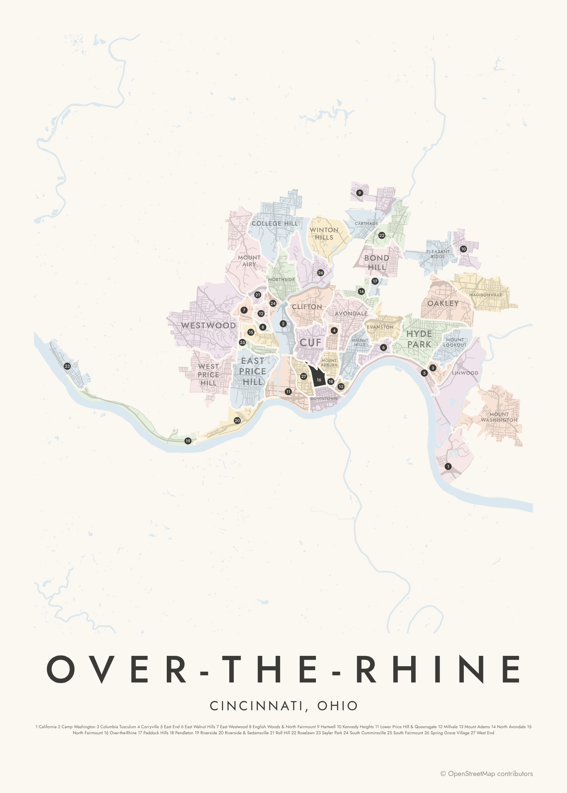 Over-the-Rhine highlighted on a map of CincinnatiEdit this →More neighborhood maps →
How Cincinnati is divided
Cincinnati counts 52 neighborhoods, and most have their own community council. The areas on this map are the city's Statistical Neighborhood Approximations: the neighborhoods redrawn along census tract lines so census data can be reported for each one.
Where tracts don't split cleanly, neighbors share an area, which is why our map shows 50. Lower Price Hill and Queensgate appear together, and Clifton Heights, University Heights and Fairview form one area, CUF. Because the borders follow tracts, a street on the edge may land in a different area than locals expect.
All 50 neighborhoods of Cincinnati
- Avondale
- Bond Hill
- California
- Camp Washington
- Carthage
- Clifton
- College Hill
- Columbia Tusculum
- Corryville
- CUF
- Downtown
- East End
- East Price Hill
- East Walnut Hills
- East Westwood
- English Woods & North Fairmount
- Evanston
- Hartwell
- Hyde Park
- Kennedy Heights
- Linwood
- Lower Price Hill & Queensgate
- Madisonville
- Millvale
- Mount Adams
- Mount Airy
- Mount Auburn
- Mount Lookout
- Mount Washington
- North Avondale
- North Fairmount
- Northside
- Oakley
- Over-the-Rhine
- Paddock Hills
- Pendleton
- Pleasant Ridge
- Riverside
- Riverside & Sedamsville
- Roll Hill
- Roselawn
- Sayler Park
- South Cumminsville
- South Fairmount
- Spring Grove Village
- Walnut Hills
- West End
- West Price Hill
- Westwood
- Winton Hills
Neighborhoods to know
- Over-the-Rhine: a 19th-century German neighborhood of Italianate buildings, with Findlay Market and Music Hall.
- Downtown: centered on Fountain Square and its Tyler Davidson Fountain.
- Mount Adams: a steep hilltop neighborhood above downtown, next to Eden Park.
- Clifton: gas street lamps and the shops of Ludlow Avenue.
- Hyde Park: houses around Hyde Park Square and its fountain.
- Columbia Tusculum: the city's oldest settlement, founded as Columbia in 1788, with painted Victorian houses.
- Camp Washington: an industrial neighborhood on Mill Creek, home to the American Sign Museum.
- Spring Grove Village: named for Spring Grove Cemetery and Arboretum, which opened in 1845.
How to make your Cincinnati neighborhood poster
- Open the Cincinnati map.
- Pick a style: Colored areas, Typographic (the names fill the map) or a Street map with the borders over the streets.
- Tap your own neighborhood to highlight it; it becomes the poster's title.
- Drag and zoom to frame the whole city or just your part of it, then pick a size and download the print file.
Questions
How many neighborhoods does Cincinnati have?
The city counts 52. This map uses the city's 50 statistical neighborhood areas, which follow census tract lines, so a few neighborhoods share an area.
What does CUF stand for?
Clifton Heights, University Heights and Fairview, the three neighborhoods around the University of Cincinnati's main campus. They're grouped as one area on this map.
Why is it called Over-the-Rhine?
German immigrants settled north of the Miami and Erie Canal in the 1800s and nicknamed the canal the Rhine. Crossing it to get home meant going over the Rhine. The canal was later filled in, and Central Parkway runs along its route.
Are Covington and Newport part of Cincinnati?
No. They're separate cities across the Ohio River in Kentucky, so they aren't on this map.
Where do the Cincinnati boundaries come from?
From OpenStreetMap (© OpenStreetMap contributors) and CAGIS / City of Cincinnati. Streets and water are OpenStreetMap's. Boundaries are a snapshot and can differ from what neighbors call home; tell us if one looks wrong.
What sizes can I print?
US Letter, 8 × 10, 11 × 14, 12 × 16 and 12 × 18 in, A4 and A3, free. You download a 300 DPI JPEG drawn at the size you pick. Larger prints, up to 24 × 36 in, are coming soon.
Related




Gift ideas by occasion




Every example is made with the Posterage generators. Change anything, then download it as a 300 DPI JPEG.