Detroit neighborhood map all 205 neighborhoods, named
This poster maps Detroit as its 205 neighborhoods, each one named, from Downtown and Corktown out to Brightmoor and Jefferson Chalmers. Belle Isle gets its own name out in the Detroit River. Highlight the one you call home and print it.
On the wall
A few of them framed at home. Open any one to make it yours.
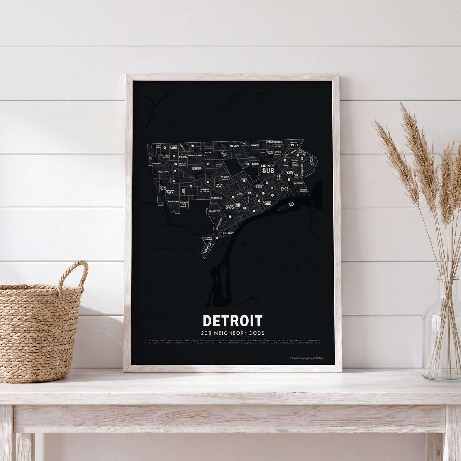 Typographic Detroit map: the names fill their neighborhoodsEdit this →
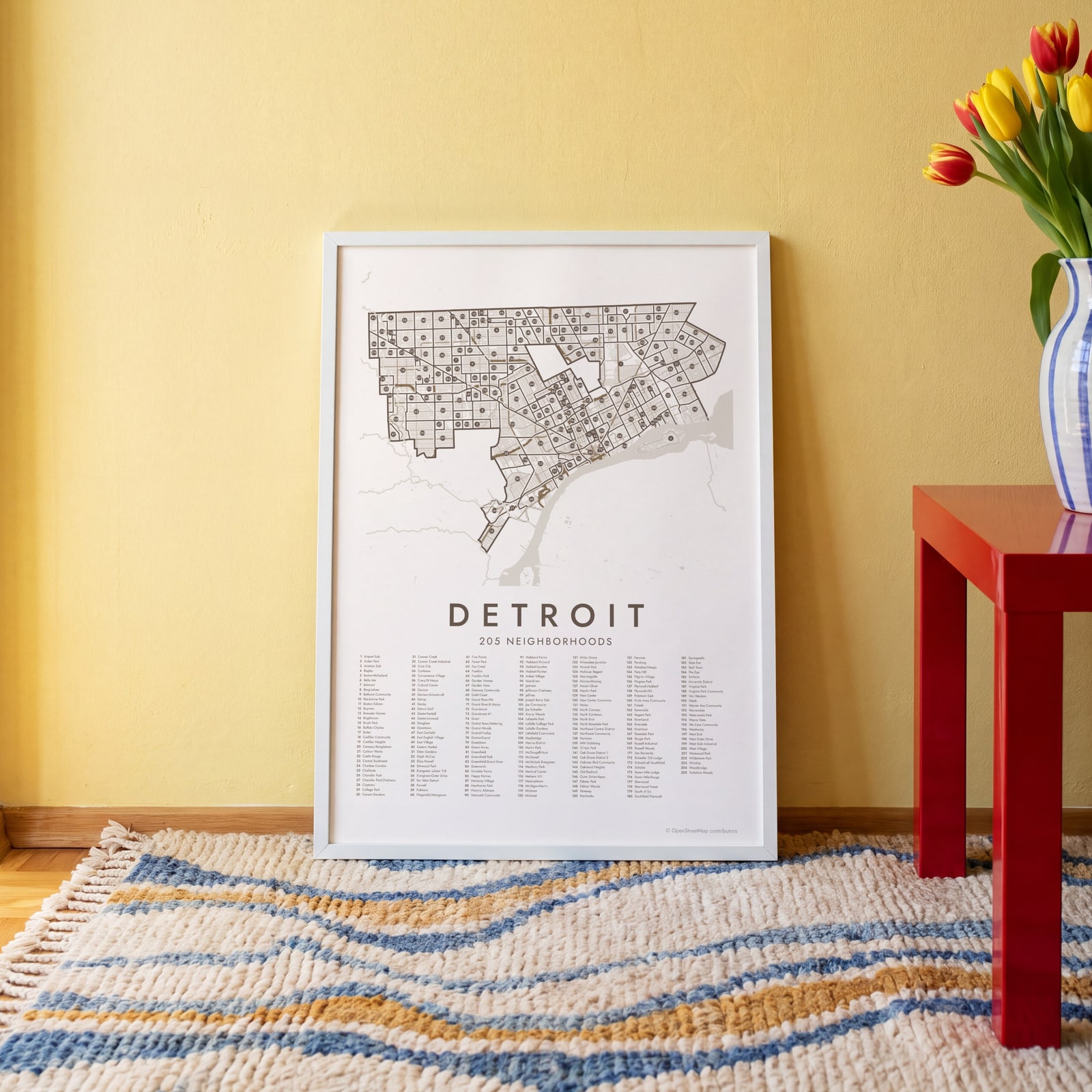 Detroit street map with numbered neighborhoods and their listEdit this →
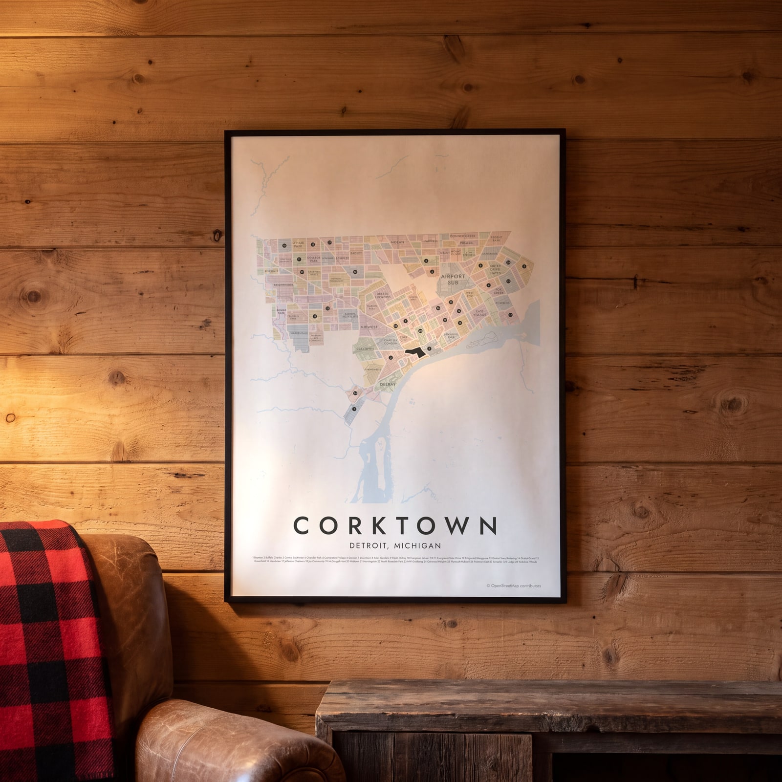 Corktown highlighted on a map of DetroitEdit this →
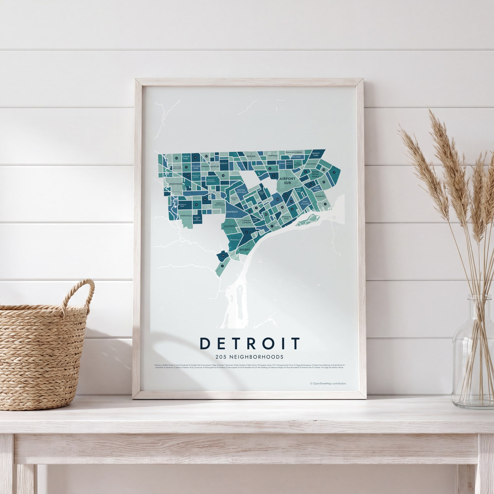
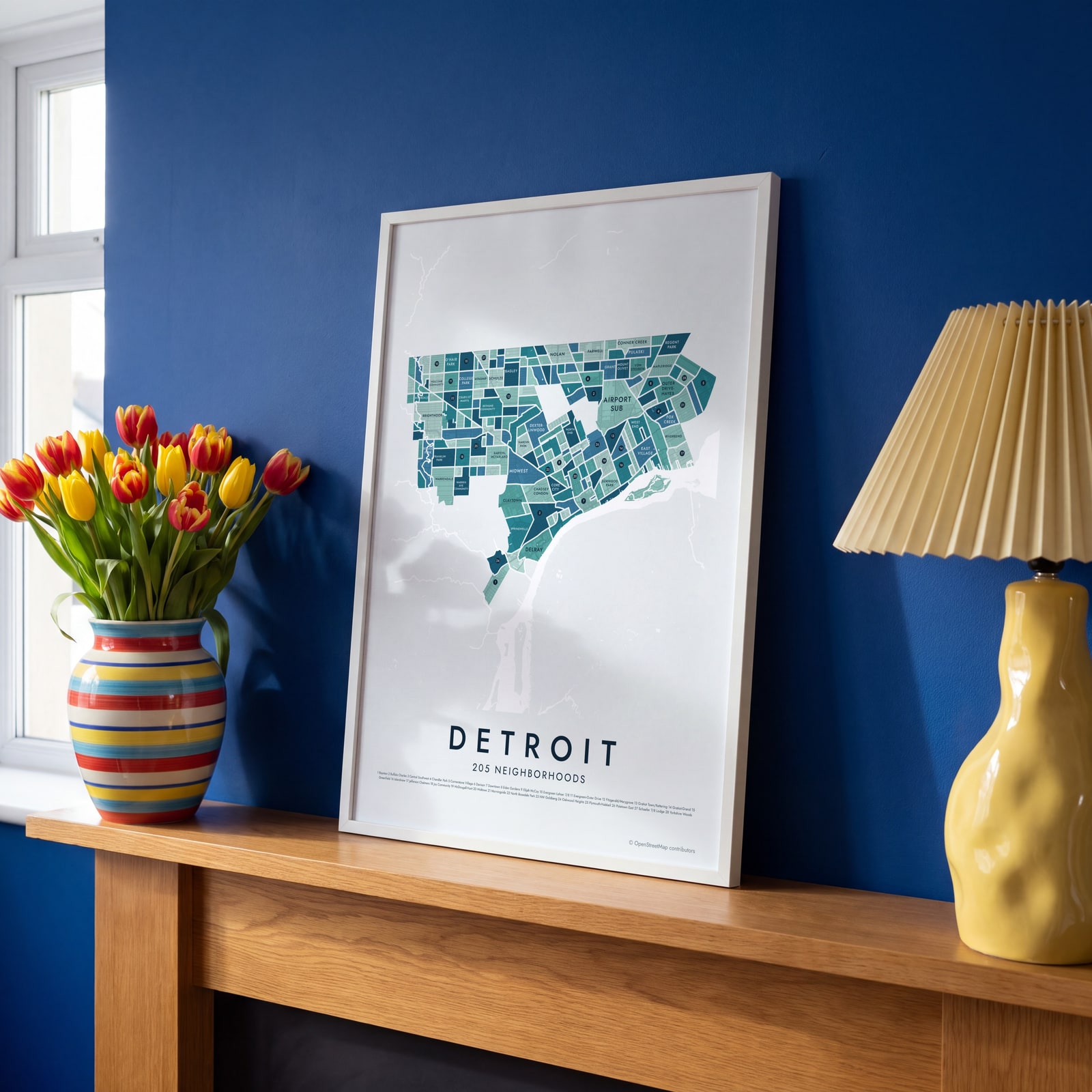 Detroit neighborhood map in color, every neighborhood namedEdit this →
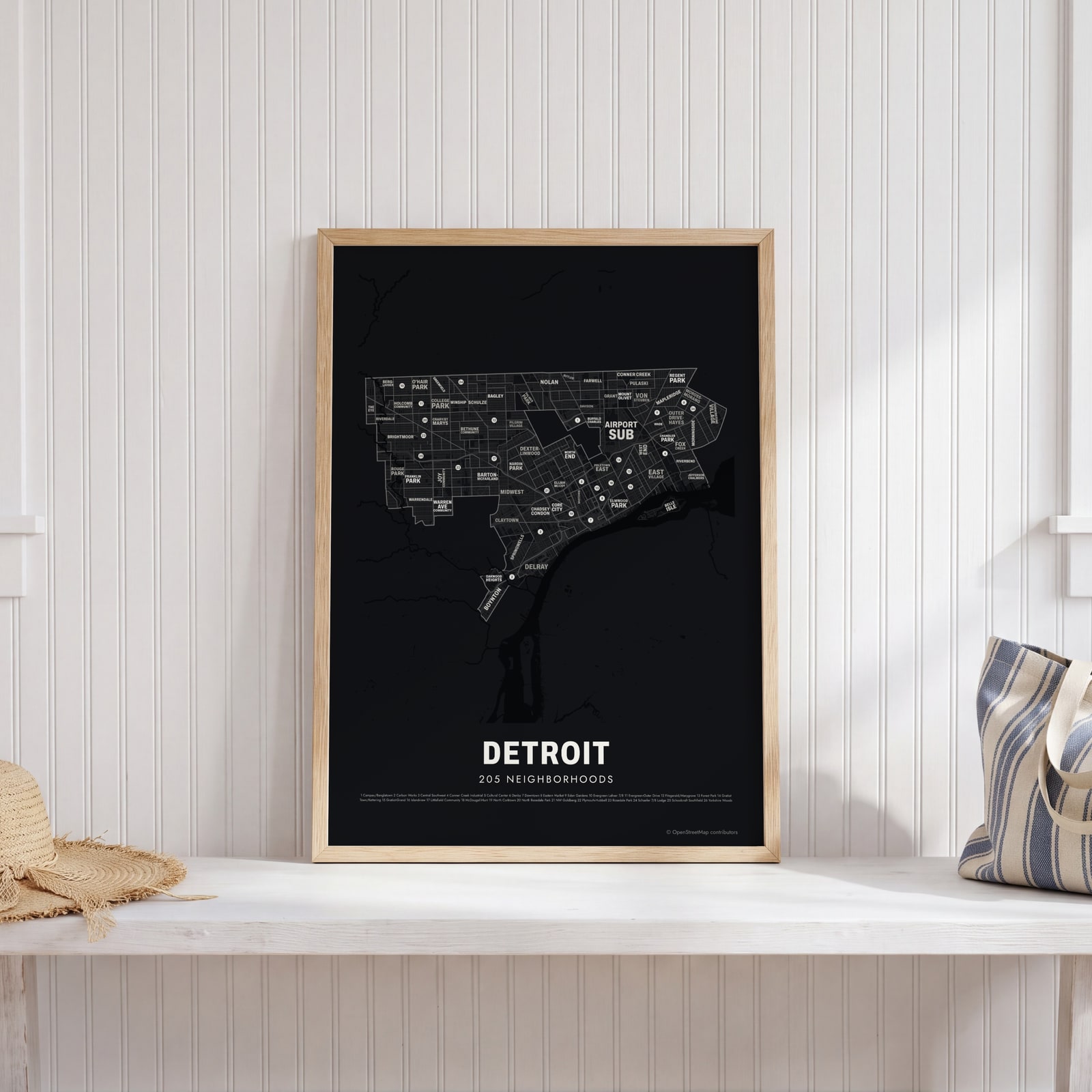 Typographic Detroit map: the names fill their neighborhoodsEdit this →
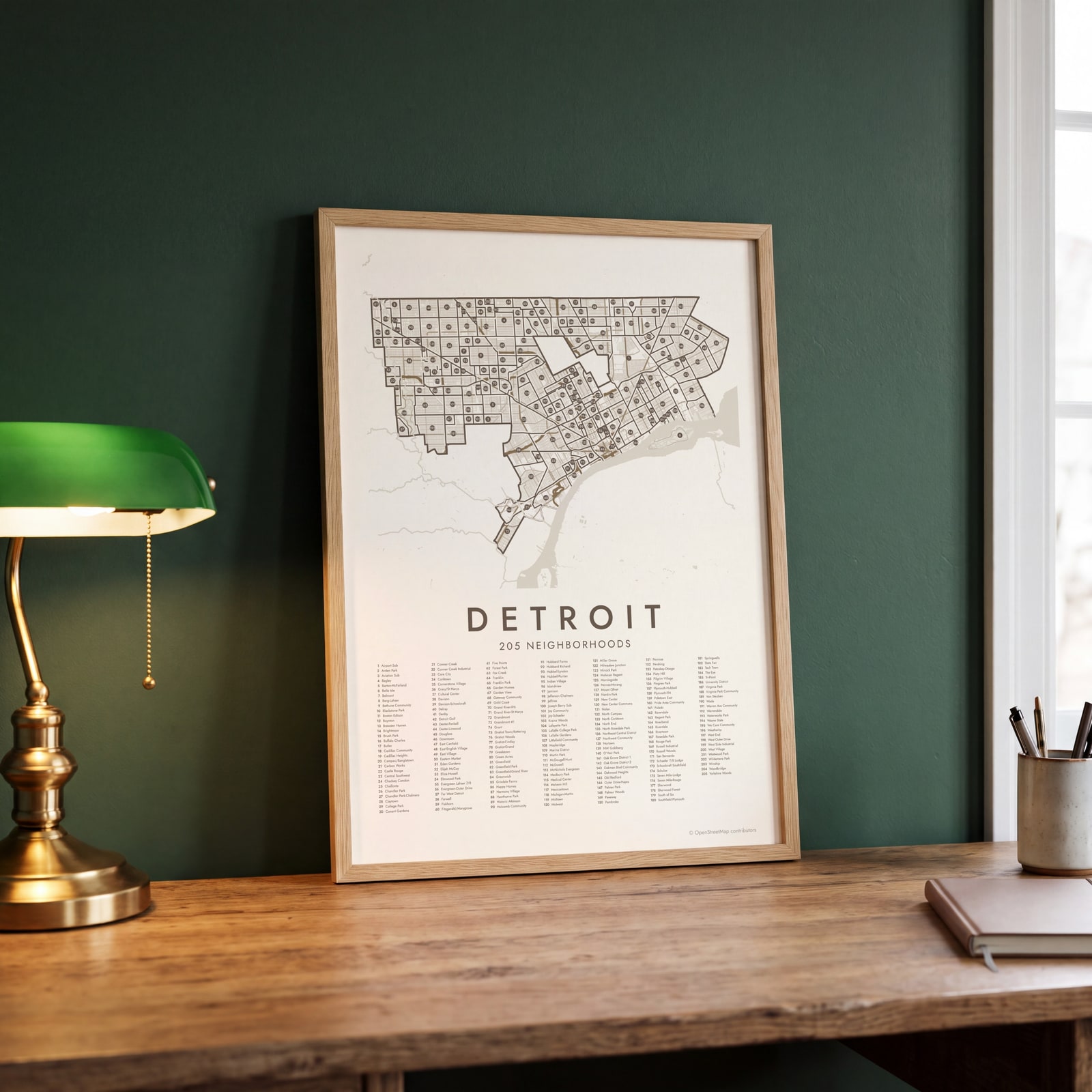 Detroit street map with numbered neighborhoods and their listEdit this →
Examples
Open any of them to change the words, the place, the date and the style, then download the print file.
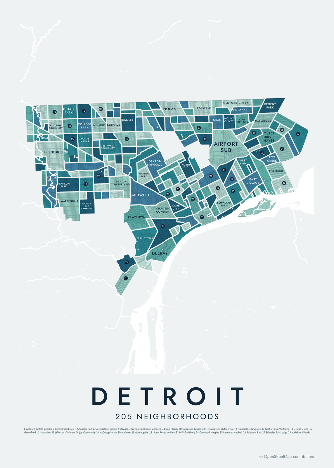 Detroit neighborhood map in color, every neighborhood namedEdit this →More neighborhood maps →
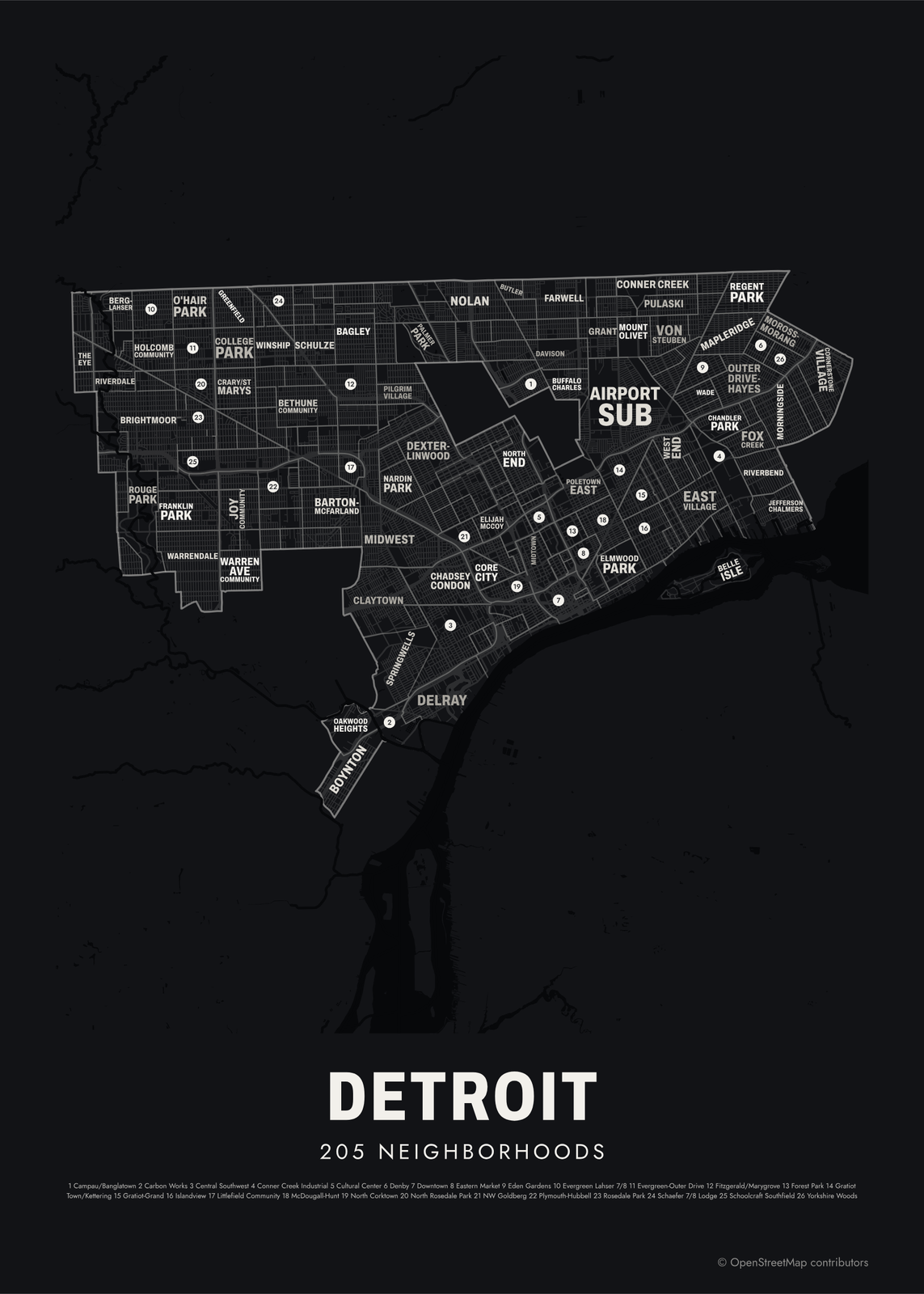 Typographic Detroit map: the names fill their neighborhoodsEdit this →More neighborhood maps →
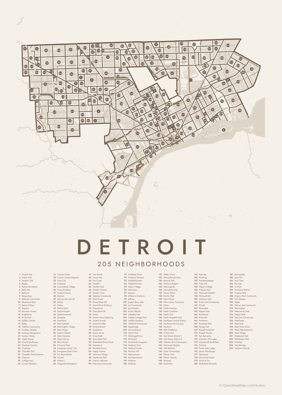 Detroit street map with numbered neighborhoods and their listEdit this →More neighborhood maps →
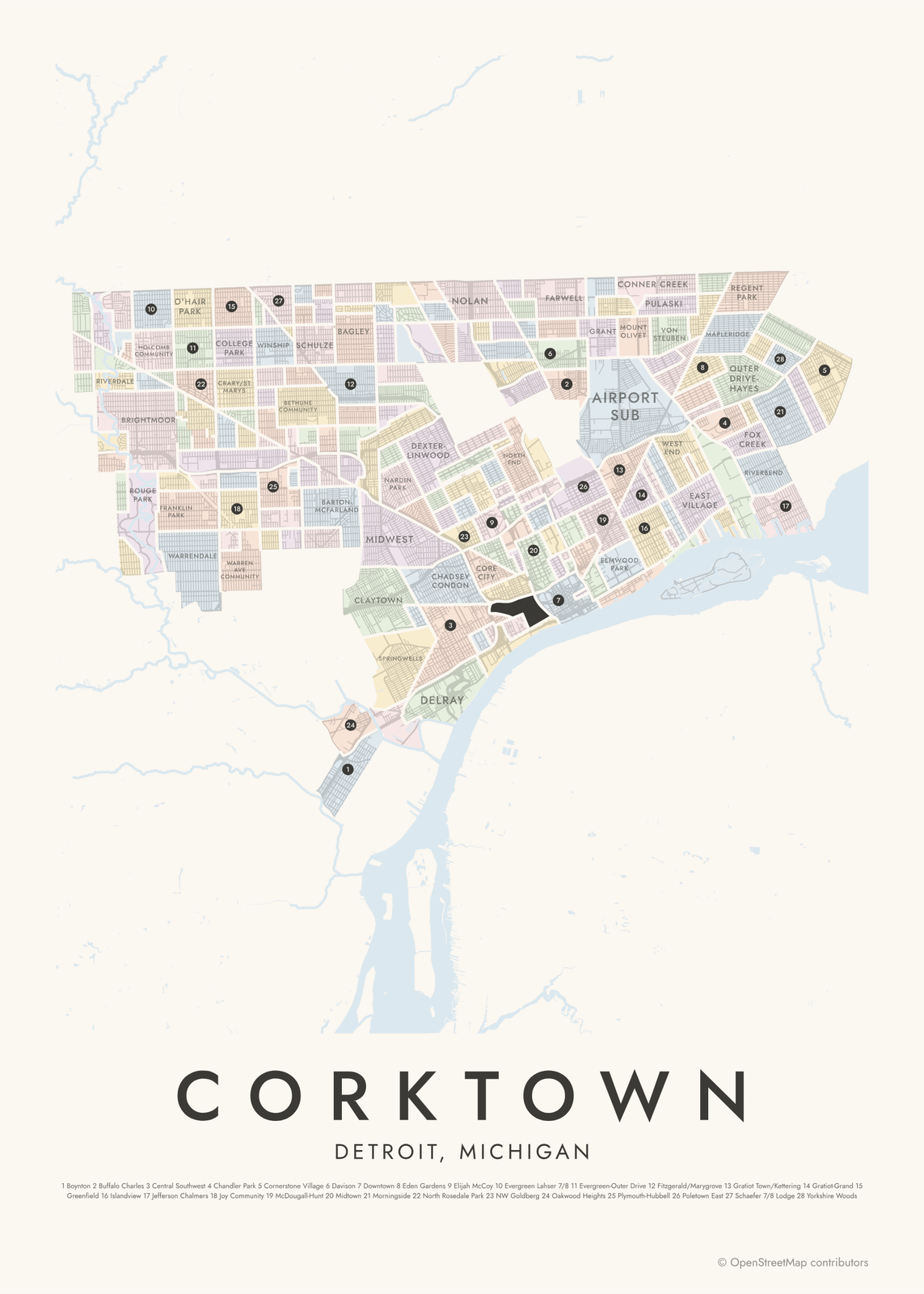 Corktown highlighted on a map of DetroitEdit this →More neighborhood maps →
How Detroit is divided
The 205 neighborhoods come from the City of Detroit's current neighborhood map, put together by its Department of Neighborhoods with community groups. Together they cover the whole city. Some are large and well known, like Midtown and Southwest's Mexicantown; others take in only a handful of streets. The city also groups them into its seven City Council districts.
Many names come from a street, like Boston Edison (Boston Boulevard and Edison Avenue), or from a park, like Palmer Park and Rouge Park. Hamtramck and Highland Park, near the middle of the city, aren't Detroit neighborhoods: they're separate cities that Detroit surrounds.
All 205 neighborhoods of Detroit
- Airport Sub
- Arden Park
- Aviation Sub
- Bagley
- Barton-McFarland
- Belle Isle
- Belmont
- Berg-Lahser
- Bethune Community
- Blackstone Park
- Boston Edison
- Boynton
- Brewster Homes
- Brightmoor
- Brush Park
- Buffalo Charles
- Butler
- Cadillac Community
- Cadillac Heights
- Campau/Banglatown
- Carbon Works
- Castle Rouge
- Central Southwest
- Chadsey Condon
- Chalfonte
- Chandler Park
- Chandler Park-Chalmers
- Claytown
- College Park
- Conant Gardens
- Conner Creek
- Conner Creek Industrial
- Core City
- Corktown
- Cornerstone Village
- Crary/St Marys
- Cultural Center
- Davison
- Davison-Schoolcraft
- Delray
- Denby
- Detroit Golf
- Dexter-Fenkell
- Dexter-Linwood
- Douglass
- Downtown
- East Canfield
- East English Village
- East Village
- Eastern Market
- Eden Gardens
- Elijah McCoy
- Eliza Howell
- Elmwood Park
- Evergreen Lahser 7/8
- Evergreen-Outer Drive
- Far West Detroit
- Farwell
- Fiskhorn
- Fitzgerald/Marygrove
- Five Points
- Forest Park
- Fox Creek
- Franklin
- Franklin Park
- Garden Homes
- Garden View
- Gateway Community
- Gold Coast
- Grand River-I96
- Grand River-St Marys
- Grandmont
- Grandmont #1
- Grant
- Gratiot Town/Kettering
- Gratiot Woods
- Gratiot-Findlay
- Gratiot-Grand
- Greektown
- Green Acres
- Greenfield
- Greenfield Park
- Greenfield-Grand River
- Greenwich
- Grixdale Farms
- Happy Homes
- Harmony Village
- Hawthorne Park
- Historic Atkinson
- Holcomb Community
- Hubbard Farms
- Hubbard Richard
- Hubbell-Lyndon
- Hubbell-Puritan
- Indian Village
- Islandview
- Jamison
- Jefferson Chalmers
- Jeffries
- Joseph Berry Sub
- Joy Community
- Joy-Schaefer
- Krainz Woods
- Lafayette Park
- LaSalle College Park
- LaSalle Gardens
- Littlefield Community
- Mapleridge
- Marina District
- Martin Park
- McDougall-Hunt
- McDowell
- McNichols Evergreen
- Medbury Park
- Medical Center
- Melvern Hill
- Mexicantown
- Michigan-Martin
- Midtown
- Midwest
- Miller Grove
- Milwaukee Junction
- Minock Park
- Mohican Regent
- Morningside
- Moross-Morang
- Mount Olivet
- Nardin Park
- New Center
- New Center Commons
- Nolan
- North Campau
- North Corktown
- North End
- North Rosedale Park
- Northeast Central District
- Northwest Community
- Nortown
- NW Goldberg
- O'Hair Park
- Oak Grove District 1
- Oak Grove District 2
- Oakman Blvd Community
- Oakwood Heights
- Old Redford
- Outer Drive-Hayes
- Palmer Park
- Palmer Woods
- Paveway
- Pembroke
- Penrose
- Pershing
- Petoskey-Otsego
- Piety Hill
- Pilgrim Village
- Pingree Park
- Plymouth-Hubbell
- Plymouth-I96
- Poletown East
- Pride Area Community
- Pulaski
- Ravendale
- Regent Park
- Riverbend
- Riverdale
- Rivertown
- Rosedale Park
- Rouge Park
- Russell Industrial
- Russell Woods
- San Bernardo
- Schaefer 7/8 Lodge
- Schoolcraft Southfield
- Schulze
- Seven Mile Lodge
- Seven Mile-Rouge
- Sherwood
- Sherwood Forest
- South of Six
- Southfield Plymouth
- Springwells
- State Fair
- Tech Town
- The Eye
- Tri-Point
- University District
- Virginia Park
- Virginia Park Community
- Von Steuben
- Wade
- Warren Ave Community
- Warrendale
- Waterworks Park
- Wayne State
- We Care Community
- Weatherby
- West End
- West Outer Drive
- West Side Industrial
- West Village
- Westwood Park
- Wildemere Park
- Winship
- Woodbridge
- Yorkshire Woods
Neighborhoods to know
- Corktown: Detroit's oldest surviving neighborhood, settled by Irish immigrants, and home of Michigan Central Station.
- Eastern Market: the city's public market, at this site since 1891, with long open-air sheds.
- Belle Isle: a 982-acre island park in the Detroit River, with a conservatory and an aquarium.
- Indian Village: a historic district of large early 1900s houses on the east side.
- Boston Edison: big houses on Boston Boulevard and Edison Avenue; Henry Ford lived here.
- Palmer Woods: Tudor-style houses on winding streets, and a house by Frank Lloyd Wright.
- Lafayette Park: townhouses and apartment towers by Mies van der Rohe, set in a large park.
- Cultural Center: the Detroit Institute of Arts and the main Detroit Public Library.
How to make your Detroit neighborhood poster
- Open the Detroit map.
- Pick a style: Colored areas, Typographic (the names fill the map) or a Street map with the borders over the streets.
- Tap your own neighborhood to highlight it; it becomes the poster's title.
- Drag and zoom to frame the whole city or just your part of it, then pick a size and download the print file.
Questions
How many neighborhoods does Detroit have?
The city's current neighborhood map names 205, and that's what this poster shows. Other lists differ: the city's master plan groups Detroit into a few dozen larger areas, and residents use plenty of smaller local names.
Are Hamtramck and Highland Park part of Detroit?
No. They're separate cities with their own governments, each surrounded by Detroit. They aren't among the 205 neighborhoods on this map.
What is Detroit's oldest neighborhood?
Corktown is the oldest one still standing. Irish immigrants settled it in the 1840s and named it for County Cork. Its residential core is a historic district, and Michigan Central Station stands there too.
What are Detroit's council districts?
Detroit elects most of its City Council from seven districts, numbered 1 to 7. Each one takes in dozens of the neighborhoods on this map.
Where do the Detroit boundaries come from?
From OpenStreetMap (© OpenStreetMap contributors) and City of Detroit. Streets and water are OpenStreetMap's. Boundaries are a snapshot and can differ from what neighbors call home; tell us if one looks wrong.
What sizes can I print?
US Letter, 8 × 10, 11 × 14, 12 × 16 and 12 × 18 in, A4 and A3, free. You download a 300 DPI JPEG drawn at the size you pick. Larger prints, up to 24 × 36 in, are coming soon.
Related




Gift ideas by occasion




Every example is made with the Posterage generators. Change anything, then download it as a 300 DPI JPEG.