Miami neighborhood map 13 areas and 104 neighborhoods, named
This poster maps the City of Miami split into its 13 NET areas, from the Upper East Side down to Coconut Grove, each one named. Switch to the finer level for 104 neighborhoods, like Brickell Key, the Design District and Shenandoah North. Highlight the one you call home and print it.
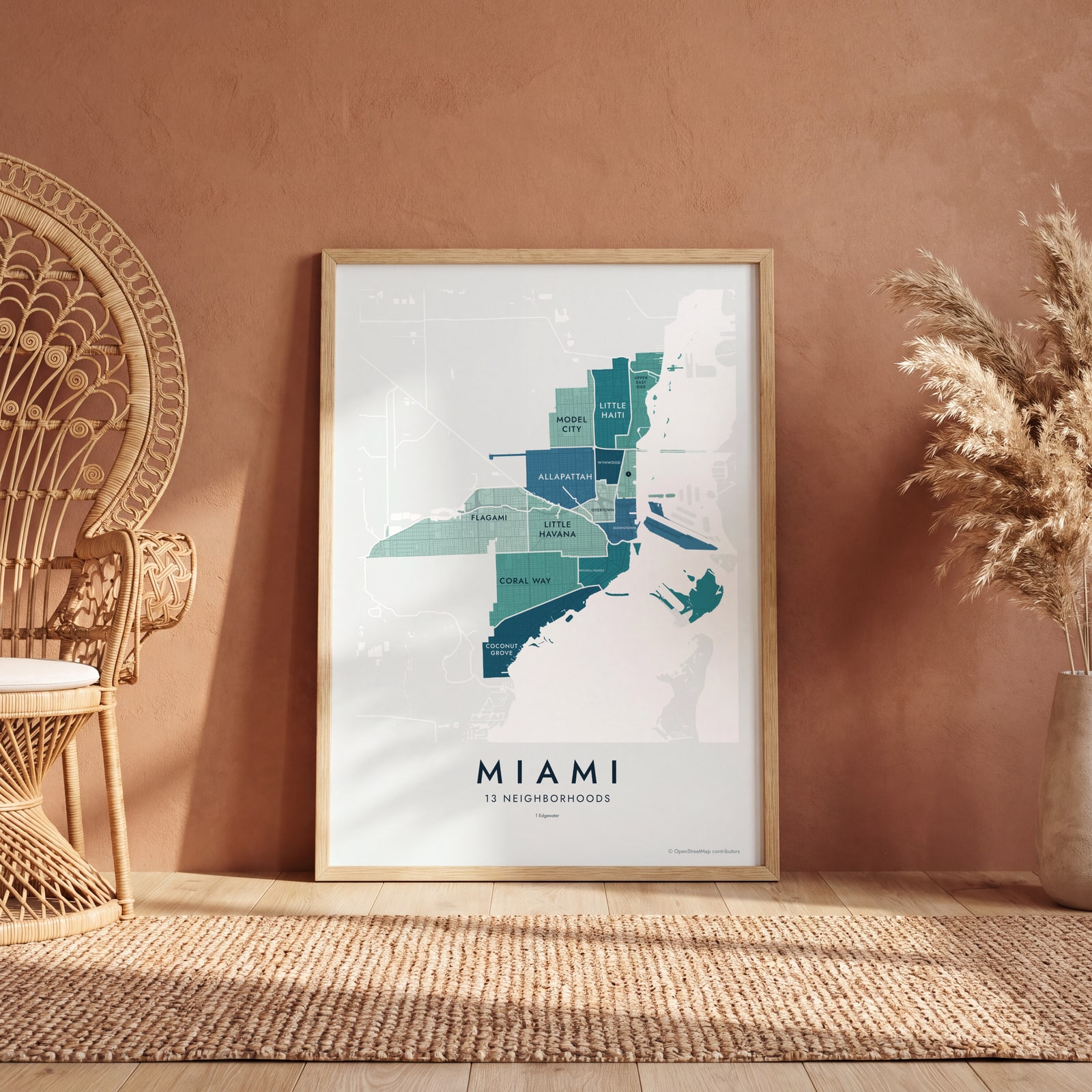
On the wall
A few of them framed at home. Open any one to make it yours.
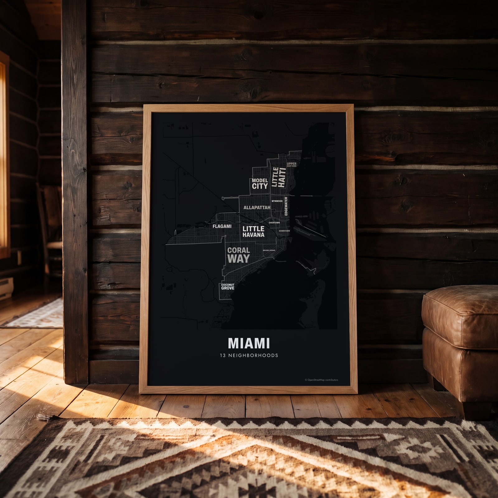 Typographic Miami map: the names fill their neighborhoodsEdit this →
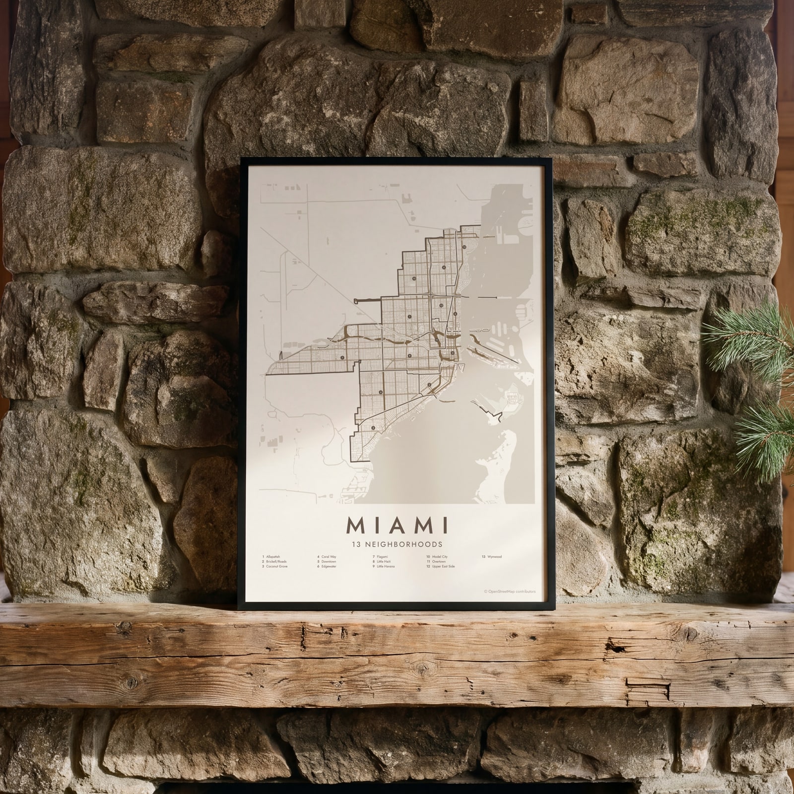 Miami street map with numbered neighborhoods and their listEdit this →
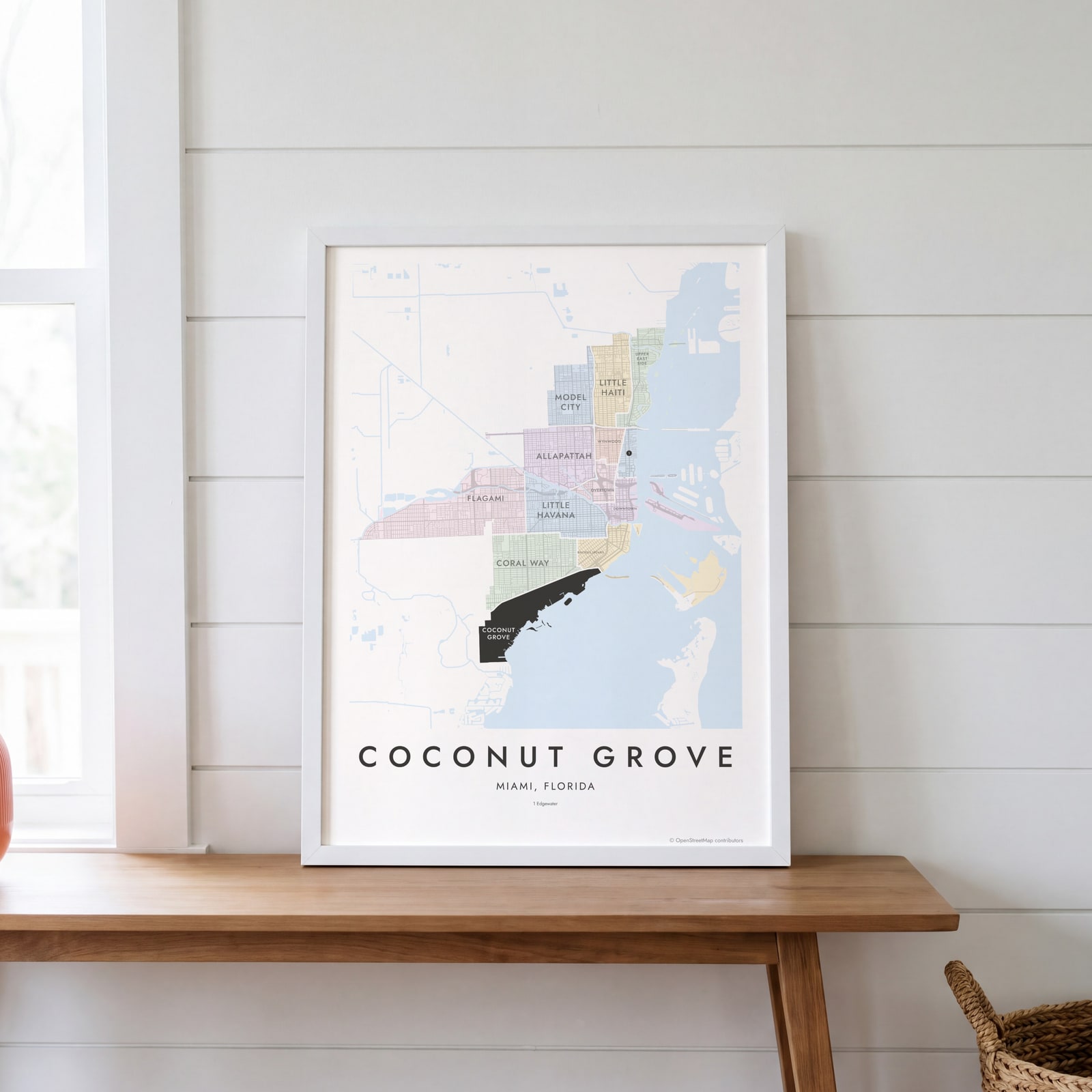 Coconut Grove highlighted on a map of MiamiEdit this →
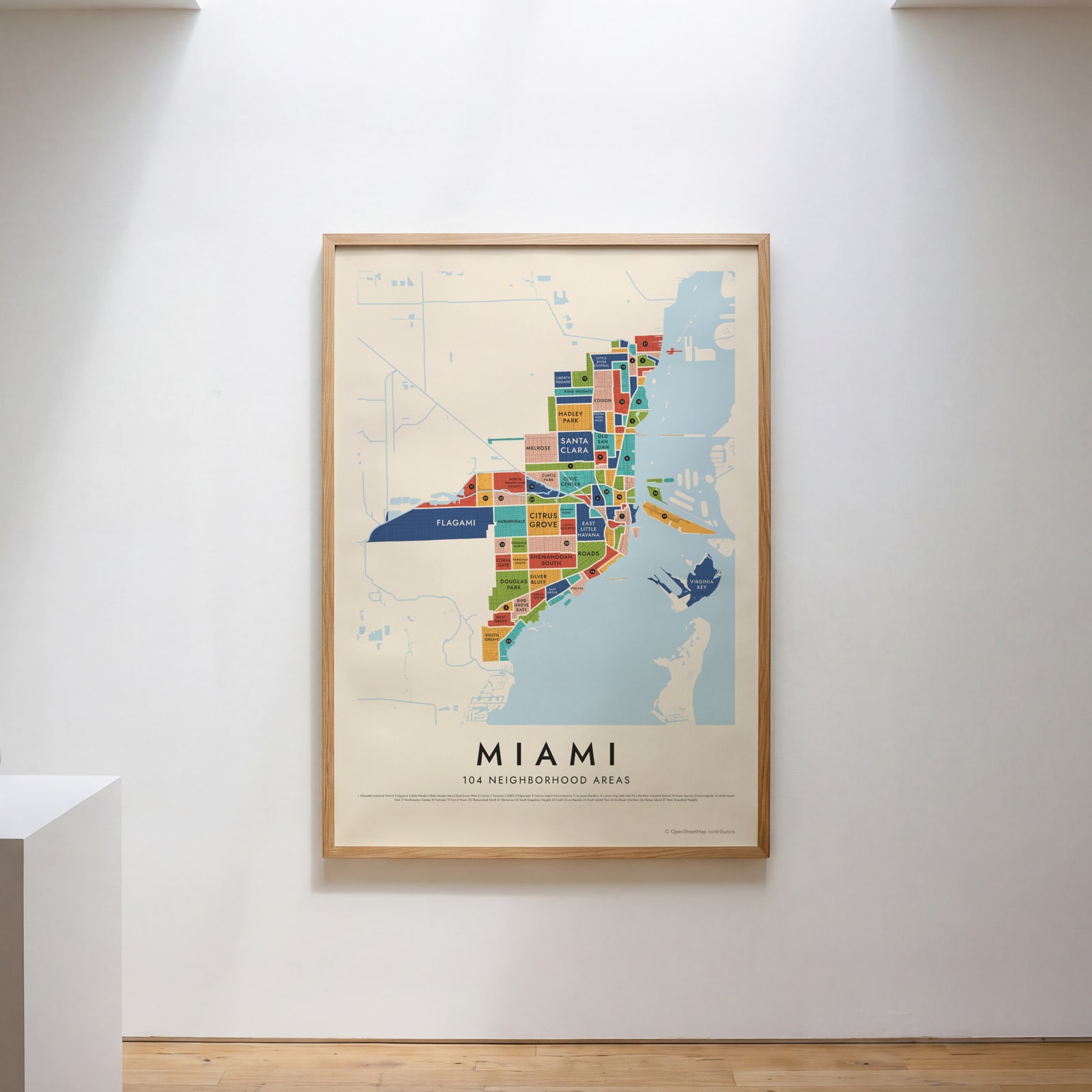 Miami's 104 neighborhood areas in colorEdit this →
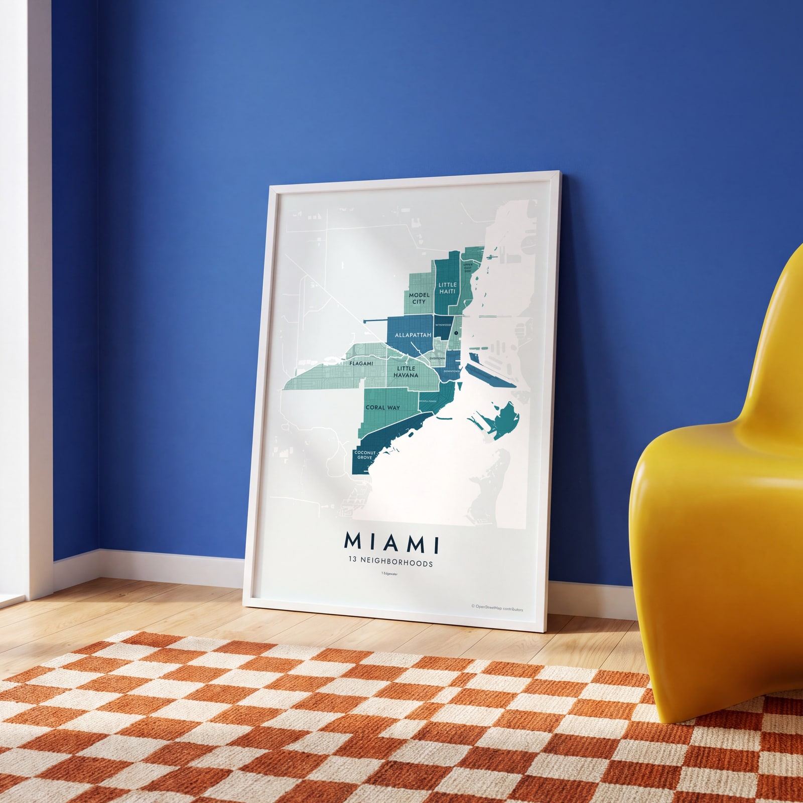 Miami neighborhood map in color, every neighborhood namedEdit this →
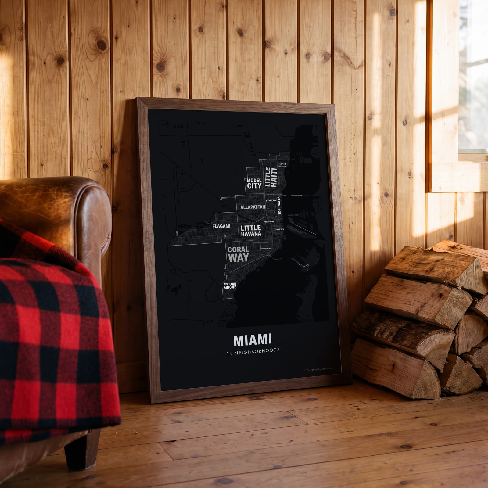 Typographic Miami map: the names fill their neighborhoodsEdit this →
Examples
Open any of them to change the words, the place, the date and the style, then download the print file.
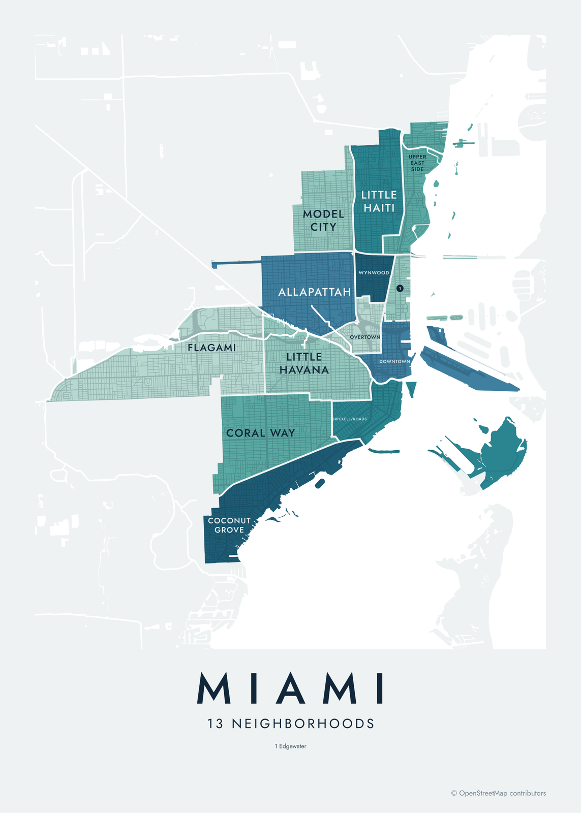 Miami neighborhood map in color, every neighborhood namedEdit this →More neighborhood maps →
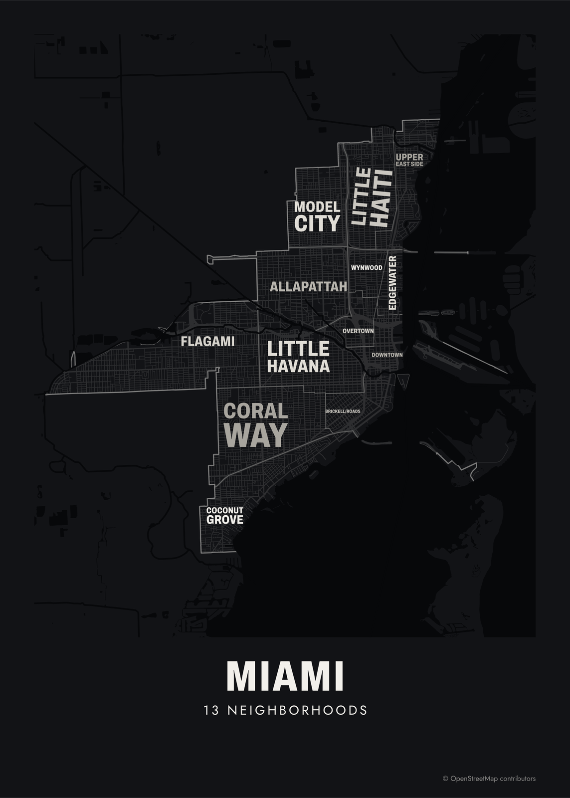 Typographic Miami map: the names fill their neighborhoodsEdit this →More neighborhood maps →
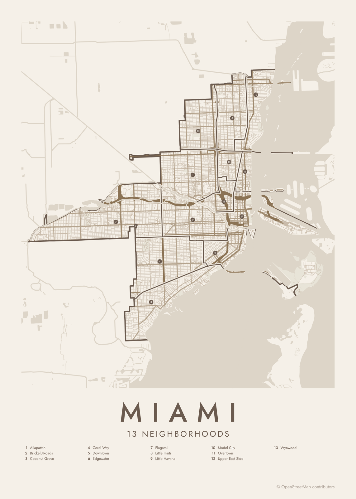 Miami street map with numbered neighborhoods and their listEdit this →More neighborhood maps →
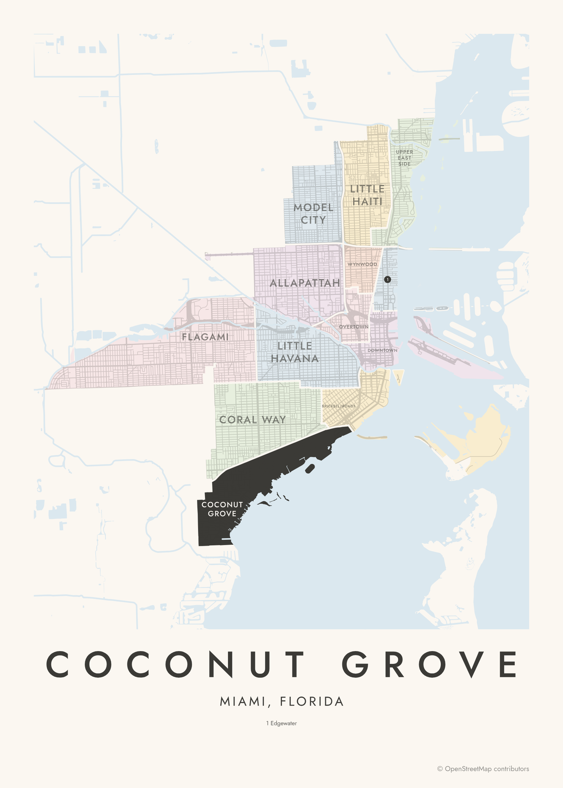 Coconut Grove highlighted on a map of MiamiEdit this →More neighborhood maps →
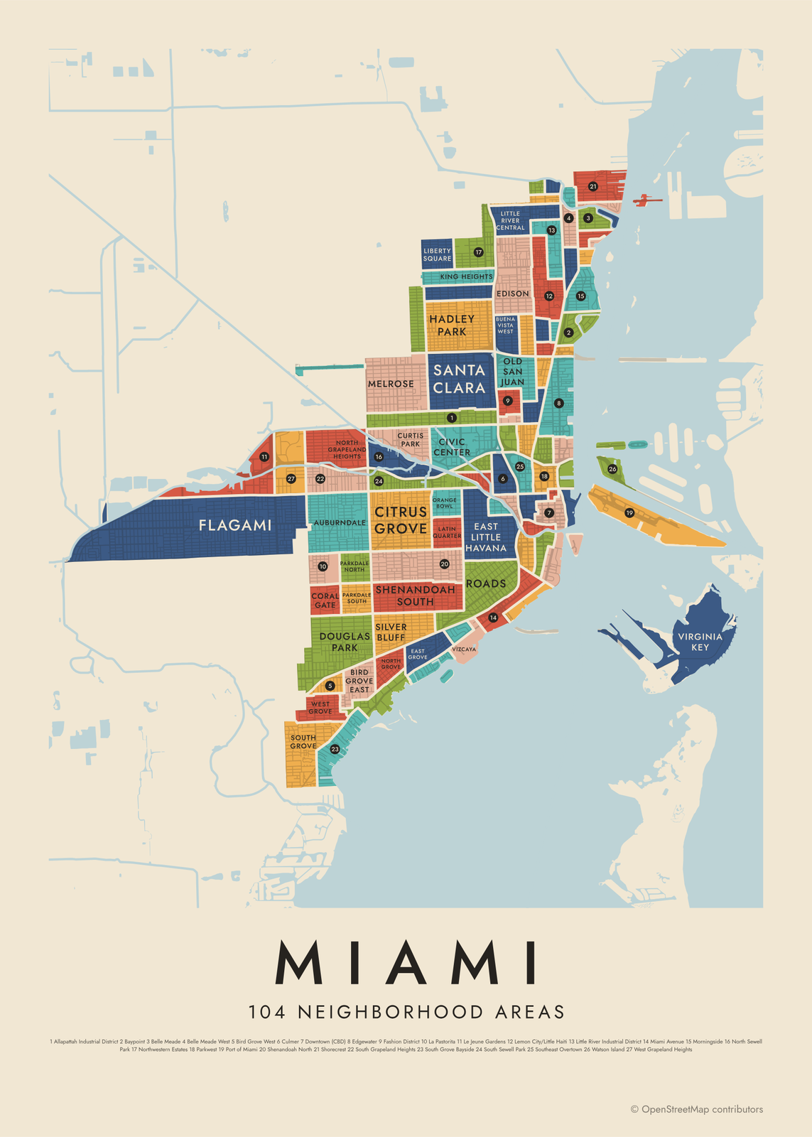 Miami's 104 neighborhood areas in colorEdit this →More neighborhood maps →
How Miami is divided
The first level shows the City of Miami's 13 NET areas. NET stands for Neighborhood Enhancement Team, a city program organized around these areas, and the city's GIS team also publishes them as its police neighborhoods. They're large districts with familiar names: Little Havana, Wynwood, Overtown, Coconut Grove.
The second level splits the city into 104 smaller neighborhoods from the city's own neighborhood map, like Edgewater, Shorecrest, Bird Grove East and Silver Bluff. The map covers the City of Miami only. Miami Beach, Coral Gables, Hialeah and Key Biscayne are separate municipalities, so they aren't on it, even though many people say Miami for the whole county.
All 13 neighborhoods of Miami
- Allapattah
- Brickell/Roads
- Coconut Grove
- Coral Way
- Downtown
- Edgewater
- Flagami
- Little Haiti
- Little Havana
- Model City
- Overtown
- Upper East Side
- Wynwood
All 104 neighborhood areas of Miami
- 36th Street Strip
- 79th Street
- Allapattah Industrial District
- Auburndale
- Bay Heights
- Bayfront
- Baypoint
- Bayside
- Belle Island
- Belle Meade
- Belle Meade West
- Bicentennial Park
- Bird Grove East
- Bird Grove West
- Biscayne Island
- Biscayne Plaza
- Brentwood
- Brickell Business District
- Brickell Key
- Brickell Residential District
- Brickell Village
- Buena Vista Heights
- Buena Vista West
- Citrus Grove
- Civic Center
- Coral Gate
- Culmer
- Curtis Park
- Design District
- Douglas Park
- Downtown (CBD)
- East Grove
- East Little Havana
- Edgewater
- Edison
- Fair Isle
- Fashion District
- Flagami
- Flora Park
- Government Center
- Grove Center
- Hadley Park
- Haynesworth
- Highland Park
- Historic Buena Vista East
- King Heights
- La Pastorita
- Latin Quarter
- Le Jeune Gardens
- Legion Park
- Lemon City/Little Haiti
- Liberty Square
- Little Managua
- Little River Central
- Little River Gardens
- Little River Industrial District
- Lummus Park
- Magnolia Park
- Media Art Entertainment
- Melrose
- Miami Avenue
- Miami Dade College
- Midtown
- Morningside
- North Grapeland Heights
- North Grove
- North Sewell Park
- Northeast Overtown
- Northwestern Estates
- Oakland Grove
- Old San Juan
- Omni/PAC
- Orange Bowl
- Orchard Villa
- Palm Bay
- Palm Grove
- Parkdale North
- Parkdale South
- Parkwest
- Pelican Harbor
- Port of Miami
- Rainbow Village
- Riverfront
- Roads
- San Marco Island
- Santa Clara
- Shenandoah North
- Shenandoah South
- Shorecrest
- Silver Bluff
- South Grapeland Heights
- South Grove
- South Grove Bayside
- South Sewell Park
- Southeast Overtown
- Spring Garden
- Town Park
- Virginia Key
- Vizcaya
- Watson Island
- West Brickell
- West Grapeland Heights
- West Grove
- Wynwood Industrial District
Neighborhoods to know
- Little Havana: Miami's Cuban neighborhood, along SW 8th Street (Calle Ocho), with Máximo Gómez Park, known as Domino Park.
- Wynwood: a former warehouse district covered in murals, home to the Wynwood Walls.
- Coconut Grove: settled on Biscayne Bay before Miami was a city, and home to The Barnacle Historic State Park.
- Overtown: one of Miami's oldest Black neighborhoods, where the Lyric Theater opened in 1913.
- Little Haiti: the center of Miami's Haitian community, with the Little Haiti Cultural Complex.
- Upper East Side: a stretch of Biscayne Boulevard lined with mid-century MiMo (Miami Modern) motels and buildings.
- Vizcaya: named for Vizcaya Museum and Gardens, a bayfront estate built for James Deering in the 1910s.
- Virginia Key: a barrier island with beaches; Virginia Key Beach Park opened in 1945 as a beach for Black residents during segregation.
How to make your Miami neighborhood poster
- Open the Miami map and pick neighborhoods or neighborhood areas.
- Pick a style: Colored areas, Typographic (the names fill the map) or a Street map with the borders over the streets.
- Tap your own neighborhood to highlight it; it becomes the poster's title.
- Drag and zoom to frame the whole city or just your part of it, then pick a size and download the print file.
Questions
How many neighborhoods does Miami have?
It depends on the level. The city groups itself into 13 large NET areas, and its neighborhood map splits the city into 104 smaller neighborhoods. This map has both, and you can switch between them.
Is Miami Beach part of Miami?
No. Miami Beach is a separate city on the barrier islands across Biscayne Bay. Coral Gables, Hialeah, Doral and Key Biscayne are separate too. This map shows the City of Miami itself.
What is a NET area in Miami?
NET stands for Neighborhood Enhancement Team, a City of Miami program that splits the city into 13 areas for neighborhood services. The same areas are used as police neighborhoods. Each is named for a well-known neighborhood inside it, such as Allapattah, Flagami or Little Haiti.
Is Coconut Grove part of the City of Miami?
Yes. Coconut Grove was a separate municipality until Miami annexed it in 1925. It's one of the 13 NET areas on this map, and on the finer level it splits into neighborhoods like North Grove, West Grove and South Grove.
Where do the Miami boundaries come from?
From OpenStreetMap (© OpenStreetMap contributors) and City of Miami, Department of Innovation and Technology, GIS Team and City of Miami, Department of Innovation and Technology, GIS Team. Streets and water are OpenStreetMap's. Boundaries are a snapshot and can differ from what neighbors call home; tell us if one looks wrong.
What sizes can I print?
US Letter, 8 × 10, 11 × 14, 12 × 16 and 12 × 18 in, A4 and A3, free. You download a 300 DPI JPEG drawn at the size you pick. Larger prints, up to 24 × 36 in, are coming soon.
Related




Gift ideas by occasion




Every example is made with the Posterage generators. Change anything, then download it as a 300 DPI JPEG.