Philadelphia neighborhood map 159 neighborhoods, named
This poster maps Philadelphia in 159 named neighborhoods, from Somerton in the Far Northeast to the Navy Yard at the southern tip. Larger sections like Center City and the River Wards show as labels. Highlight your neighborhood and print it.
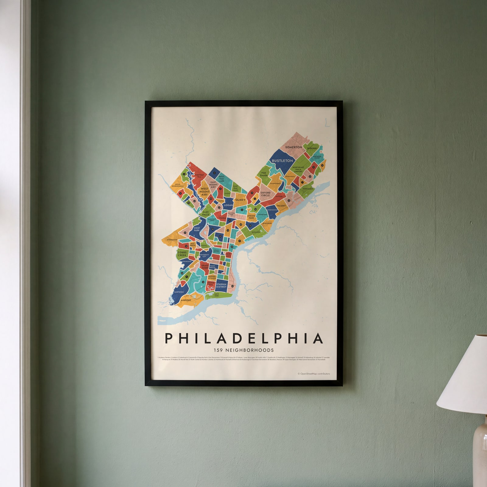
On the wall
A few of them framed at home. Open any one to make it yours.
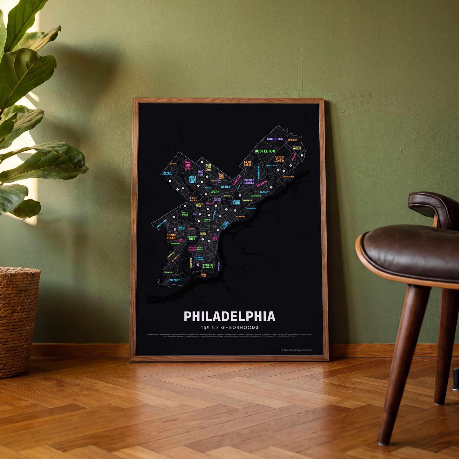 Typographic Philadelphia map: the names fill their neighborhoodsEdit this →
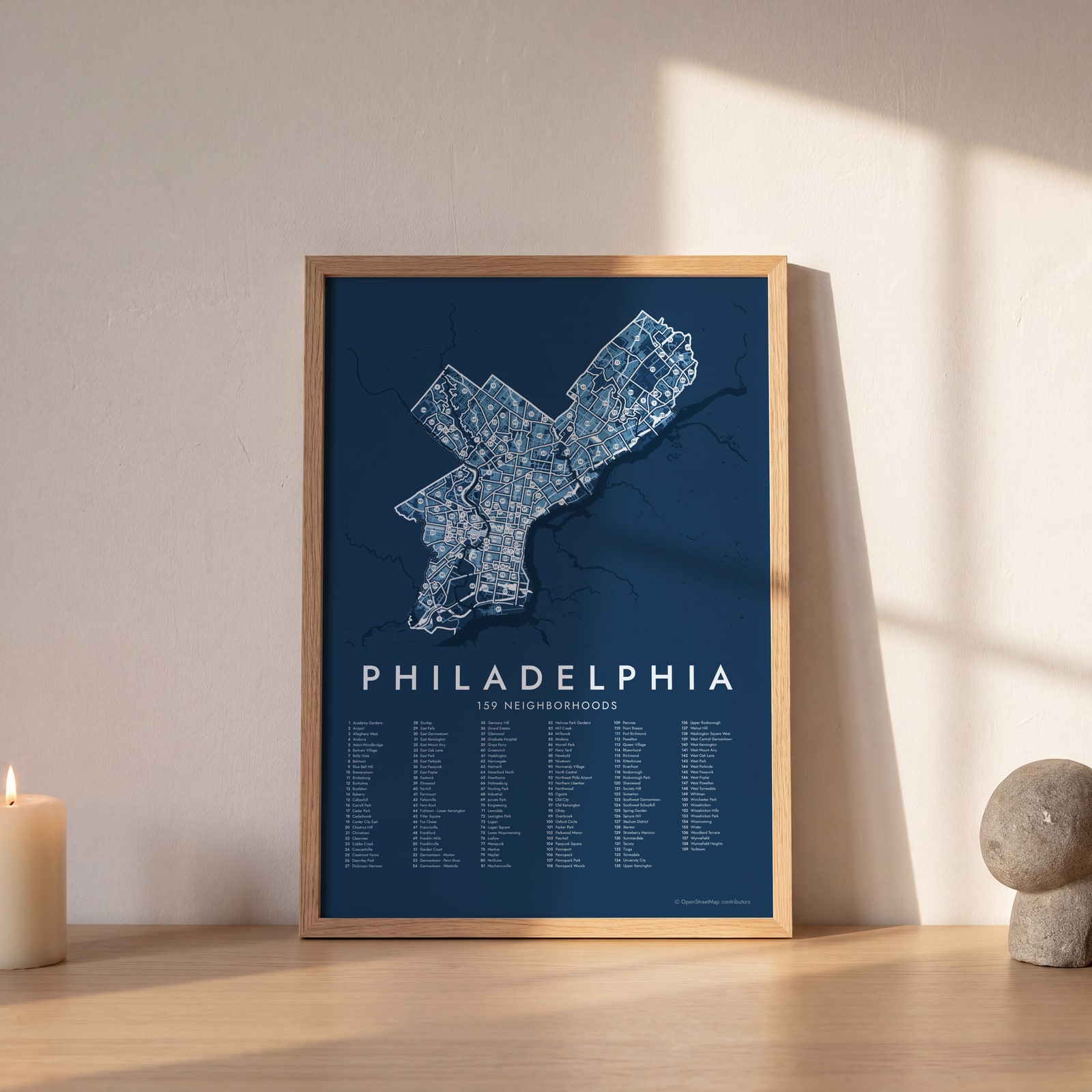 Philadelphia street map with numbered neighborhoods and their listEdit this →
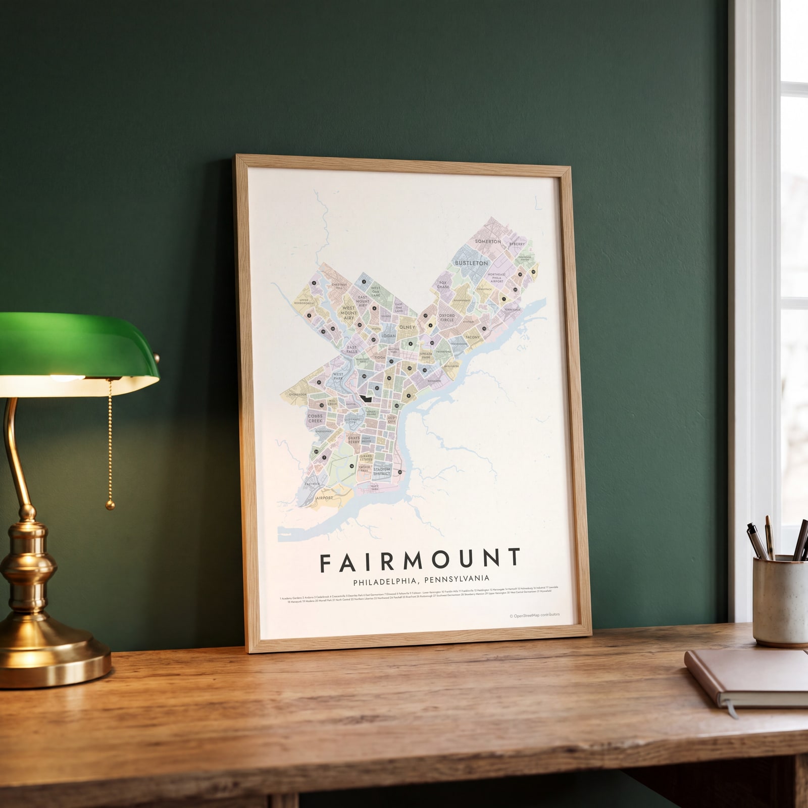 Fairmount highlighted on a map of PhiladelphiaEdit this →
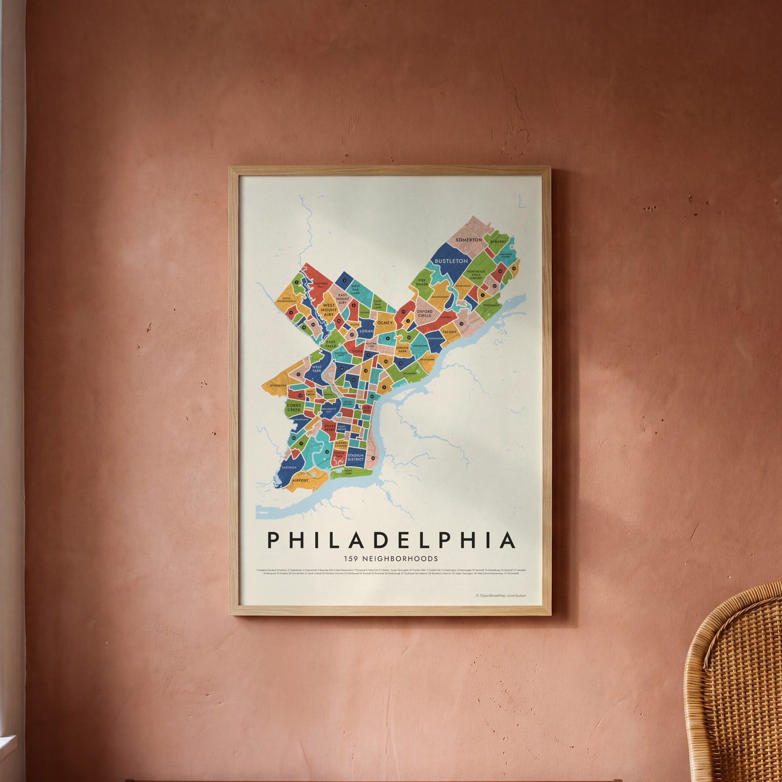 Philadelphia neighborhood map in color, every neighborhood namedEdit this →
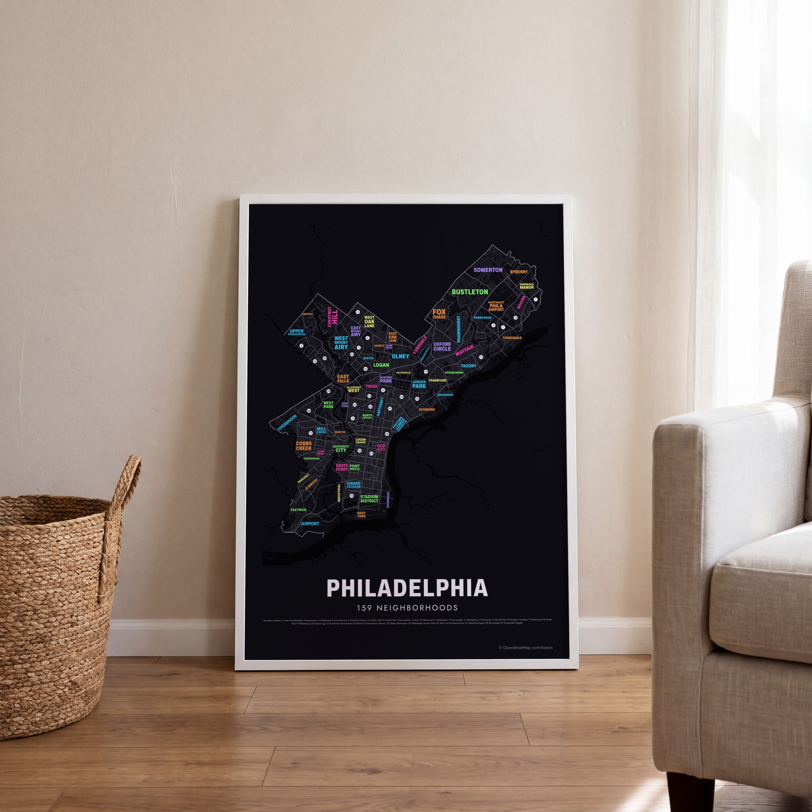 Typographic Philadelphia map: the names fill their neighborhoodsEdit this →
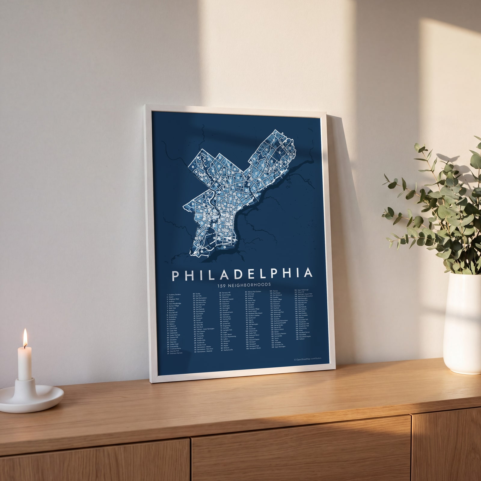 Philadelphia street map with numbered neighborhoods and their listEdit this →
Examples
Open any of them to change the words, the place, the date and the style, then download the print file.
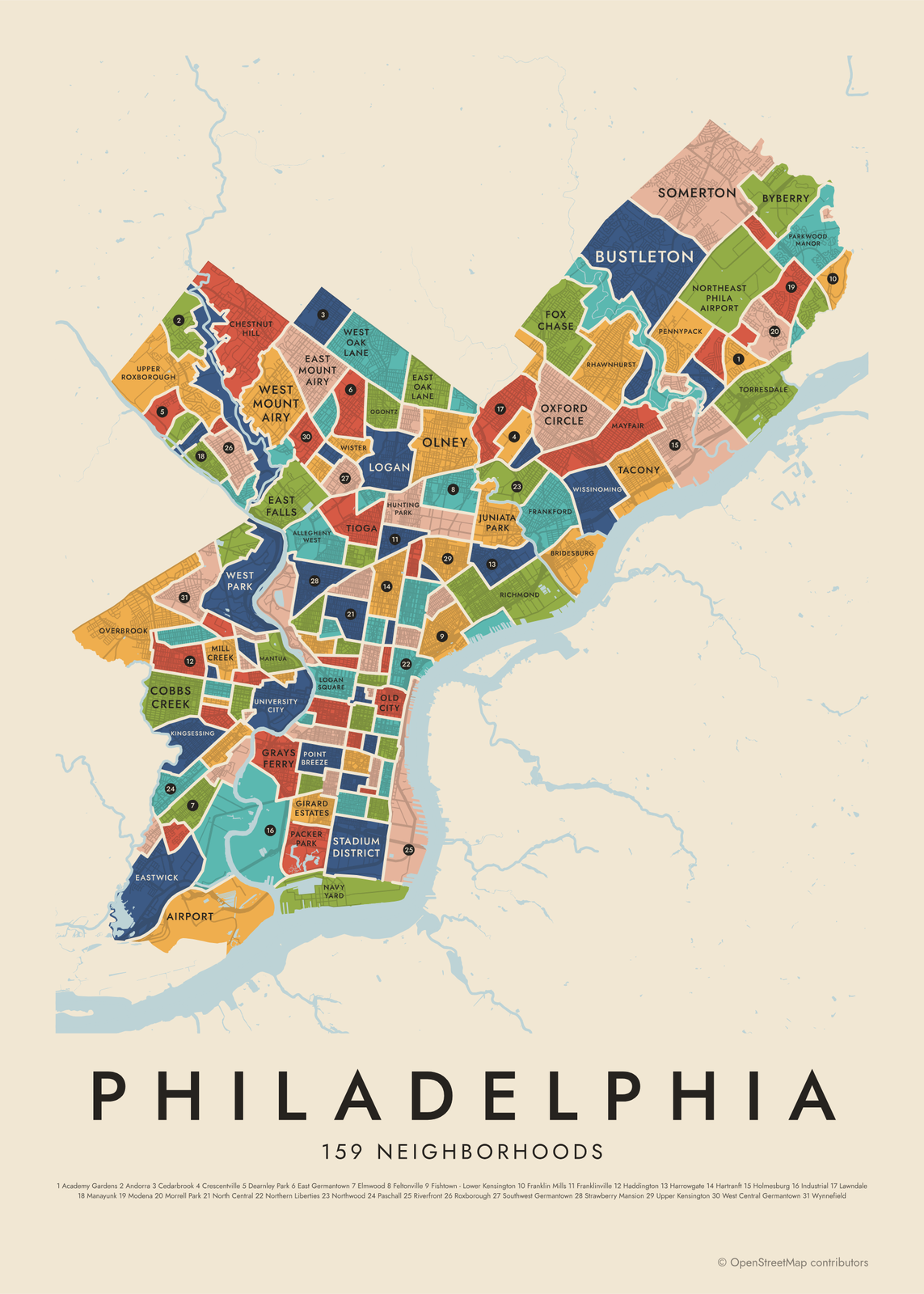 Philadelphia neighborhood map in color, every neighborhood namedEdit this →More neighborhood maps →
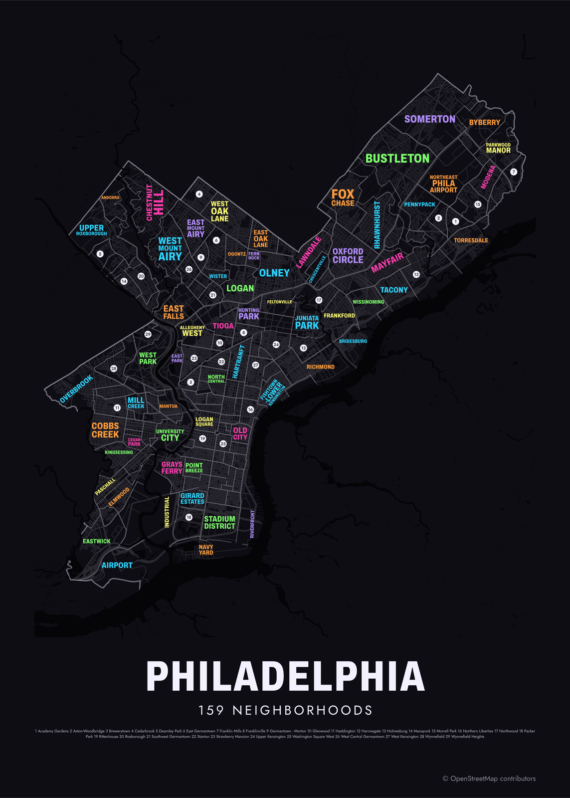 Typographic Philadelphia map: the names fill their neighborhoodsEdit this →More neighborhood maps →
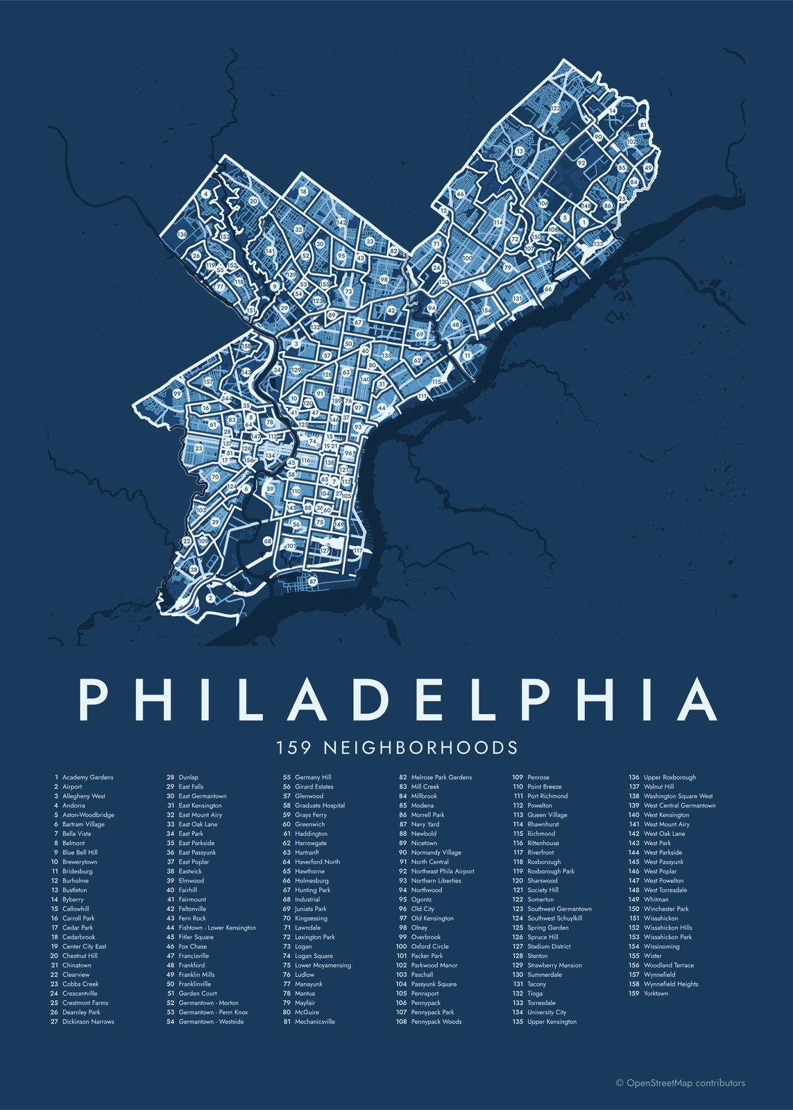 Philadelphia street map with numbered neighborhoods and their listEdit this →More neighborhood maps →
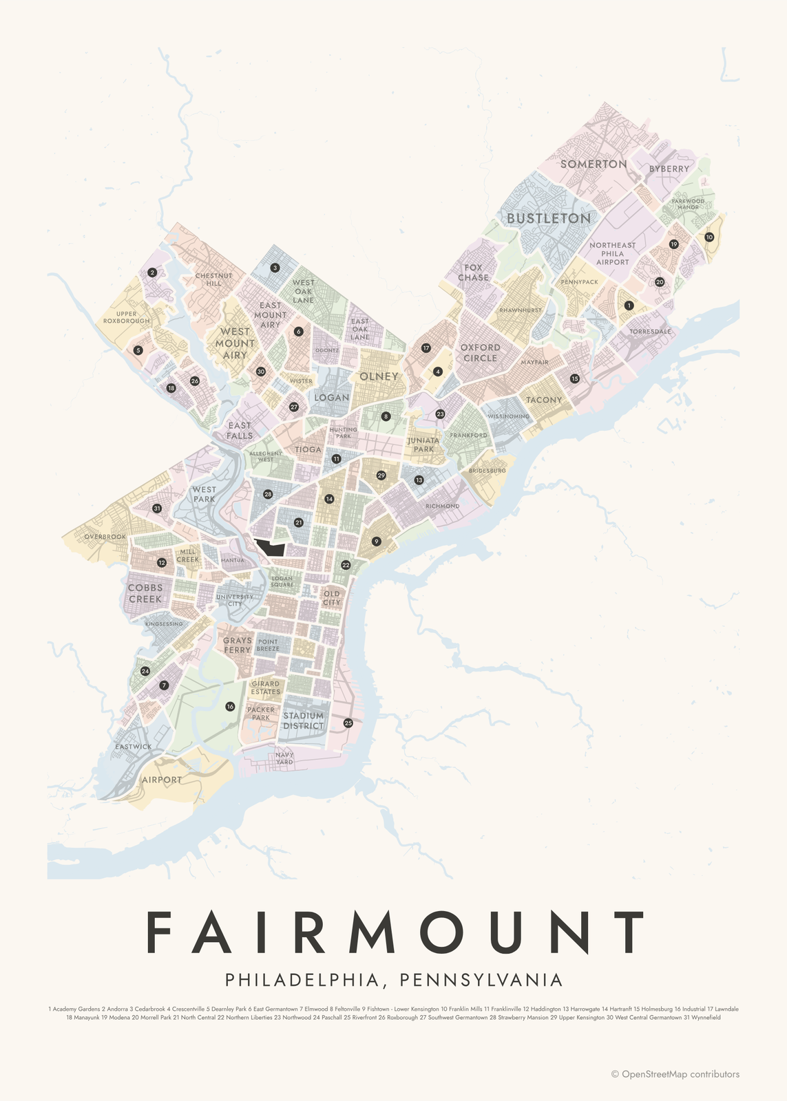 Fairmount highlighted on a map of PhiladelphiaEdit this →More neighborhood maps →
How Philadelphia is divided
Philadelphia's city limits have matched the county's since the Act of Consolidation in 1854, which folded in towns and districts like Germantown, Kensington and Northern Liberties. Many of those old names live on as neighborhoods.
The city has no official neighborhood map. The 159 here come from a widely used dataset maintained by Robert Cheetham on OpenDataPhilly, pieced together from city maps, the City Archives, the Philadelphia Inquirer and residents' feedback. The broad sections people use, like South Philadelphia, North Philadelphia and the Northeast, appear as labels.
All 159 neighborhoods of Philadelphia
- Academy Gardens
- Airport
- Allegheny West
- Andorra
- Aston-Woodbridge
- Bartram Village
- Bella Vista
- Belmont
- Blue Bell Hill
- Brewerytown
- Bridesburg
- Burholme
- Bustleton
- Byberry
- Callowhill
- Carroll Park
- Cedar Park
- Cedarbrook
- Center City East
- Chestnut Hill
- Chinatown
- Clearview
- Cobbs Creek
- Crescentville
- Crestmont Farms
- Dearnley Park
- Dickinson Narrows
- Dunlap
- East Falls
- East Germantown
- East Kensington
- East Mount Airy
- East Oak Lane
- East Park
- East Parkside
- East Passyunk
- East Poplar
- Eastwick
- Elmwood
- Fairhill
- Fairmount
- Feltonville
- Fern Rock
- Fishtown - Lower Kensington
- Fitler Square
- Fox Chase
- Francisville
- Frankford
- Franklin Mills
- Franklinville
- Garden Court
- Germantown - Morton
- Germantown - Penn Knox
- Germantown - Westside
- Germany Hill
- Girard Estates
- Glenwood
- Graduate Hospital
- Grays Ferry
- Greenwich
- Haddington
- Harrowgate
- Hartranft
- Haverford North
- Hawthorne
- Holmesburg
- Hunting Park
- Industrial
- Juniata Park
- Kingsessing
- Lawndale
- Lexington Park
- Logan
- Logan Square
- Lower Moyamensing
- Ludlow
- Manayunk
- Mantua
- Mayfair
- McGuire
- Mechanicsville
- Melrose Park Gardens
- Mill Creek
- Millbrook
- Modena
- Morrell Park
- Navy Yard
- Newbold
- Nicetown
- Normandy Village
- North Central
- Northeast Phila Airport
- Northern Liberties
- Northwood
- Ogontz
- Old City
- Old Kensington
- Olney
- Overbrook
- Oxford Circle
- Packer Park
- Parkwood Manor
- Paschall
- Passyunk Square
- Pennsport
- Pennypack
- Pennypack Park
- Pennypack Woods
- Penrose
- Point Breeze
- Port Richmond
- Powelton
- Queen Village
- Rhawnhurst
- Richmond
- Rittenhouse
- Riverfront
- Roxborough
- Roxborough Park
- Sharswood
- Society Hill
- Somerton
- Southwest Germantown
- Southwest Schuylkill
- Spring Garden
- Spruce Hill
- Stadium District
- Stanton
- Strawberry Mansion
- Summerdale
- Tacony
- Tioga
- Torresdale
- University City
- Upper Kensington
- Upper Roxborough
- Walnut Hill
- Washington Square West
- West Central Germantown
- West Kensington
- West Mount Airy
- West Oak Lane
- West Park
- West Parkside
- West Passyunk
- West Poplar
- West Powelton
- West Torresdale
- Whitman
- Winchester Park
- Wissahickon
- Wissahickon Hills
- Wissahickon Park
- Wissinoming
- Wister
- Woodland Terrace
- Wynnefield
- Wynnefield Heights
- Yorktown
More neighborhood names on the map
Inside the neighborhoods, the map also names 63 smaller neighborhoods where they fit, from OpenStreetMap: Southwest Philadelphia, West Philadelphia, Northwest Philadelphia, South Philadelphia, Center City, North Philadelphia, River Wards, Northeast Philadelphia, Far Northeast Philadelphia, Angora, Elmwood Park, Parkside, Pencoyd, Highland, Gravers, Carpenter, Allen Lane, Saint Martins, Powelton Village, Siena Place, Schuylkill, Mermaid, Ivy Hill, Germantown, Abbotsford Homes, Rittenhouse Square, Gayborhood, Wayne Junction, Wharton, Little Saigon, Fishers, Nicetown-Tioga, Poplar, Somerville, Wyoming, Pittville, Olde Kensington, Tabor, Kensington, Chopersville and more. Turn them off under Names if you want only the neighborhoods.
Neighborhoods to know
- Old City: Elfreth's Alley, a lane of houses from the 1700s, and the Betsy Ross House.
- Society Hill: brick rowhouses from the 1700s and early 1800s, many restored since the 1950s.
- Rittenhouse: built around Rittenhouse Square, one of the five squares in William Penn's 1682 plan.
- Logan Square: the Benjamin Franklin Parkway, with the Franklin Institute and the Free Library's main branch.
- Fishtown - Lower Kensington: named for the shad fishing that once lined its stretch of the Delaware.
- University City: the campuses of Penn and Drexel, just west of the Schuylkill River.
- Manayunk: a former mill town on the Schuylkill, with Main Street running beside the canal.
- Chestnut Hill: the shops of Germantown Avenue and the Morris Arboretum.
How to make your Philadelphia neighborhood poster
- Open the Philadelphia map.
- Pick a style: Colored areas, Typographic (the names fill the map) or a Street map with the borders over the streets.
- Tap your own neighborhood to highlight it; it becomes the poster's title.
- Drag and zoom to frame the whole city or just your part of it, then pick a size and download the print file.
Questions
How many neighborhoods does Philadelphia have?
There's no official count. This map uses 159, from a widely used community-made dataset. For planning, the city also groups Philadelphia into 18 planning districts.
Where is Center City?
Center City is the original city William Penn laid out in 1682, between the Delaware and Schuylkill rivers from Vine Street to South Street. On this map it's split into areas like Rittenhouse, Logan Square, Old City, Society Hill and Washington Square West.
What are the River Wards?
A local name for the neighborhoods along the Delaware River northeast of Center City, including Fishtown, Port Richmond and Bridesburg.
Where do the Philadelphia boundaries come from?
From OpenStreetMap (© OpenStreetMap contributors) and Robert Cheetham / OpenDataPhilly. Streets and water are OpenStreetMap's. Boundaries are a snapshot and can differ from what neighbors call home; tell us if one looks wrong.
What sizes can I print?
US Letter, 8 × 10, 11 × 14, 12 × 16 and 12 × 18 in, A4 and A3, free. You download a 300 DPI JPEG drawn at the size you pick. Larger prints, up to 24 × 36 in, are coming soon.
Related




Gift ideas by occasion




Every example is made with the Posterage generators. Change anything, then download it as a 300 DPI JPEG.